
| Area: | Lake District | Ascent: | 1958 feet |
| Walk No: | 69 (1) | Time: | 5 hours 30 minutes |
| Date: | 12th September 2007 | Parking: | Miller Bridge, Ambleside |
| Distance: | 10.75 miles | Weather: | Misty at start then fine and sunny. Very warm |
| Route: | Ambleside - Rydal - Alcock Tarn - Grasmere - Ambleside |
This was meant to be a compromise walk. Edith wanted a valley walk whilst I preferred a fellwalk. We settled on a circuit of Rydal Water and Grasmere with a climb up to Alcock Tarn in between. Unfortunately I never measured the route on Memory Map until we returned home and was surprised to find that the total ascent was nearly 2000 feet. After the solitude of the previous walks this was the complete opposite. At the end of the day I think my vocal chords were more tired than my lower limbs as it was a constant "Good Morning", " Hello", "Hi" or "Isn't it a lovely day?" all the way round. Nevertheless it was a lovely walk with some great views.
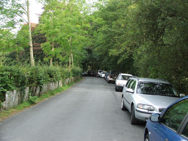
We left the car at Miller Bridge, Ambleside. We were a little later than usual this morning and there wasn't many spaces left
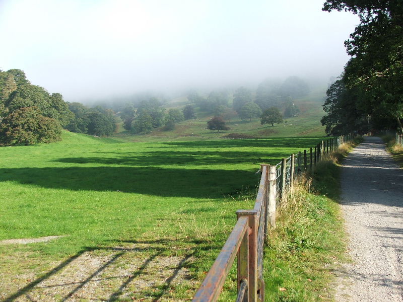
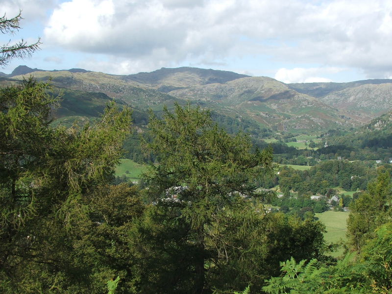
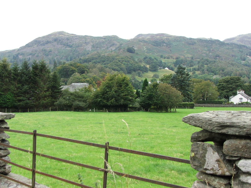
Our route was through Rydal Park on the old Grasmere to Ambleside "coffin route". It was a misty start but it didn't last long.
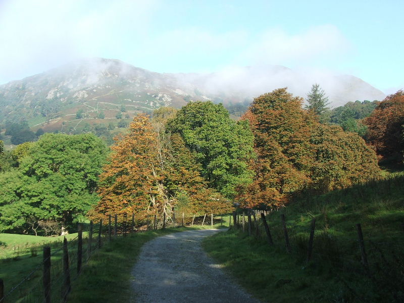
Some of the trees were getting there Autumnal colours. You can see Nab Scar through the mist.
Soon there will be enough to kick about!
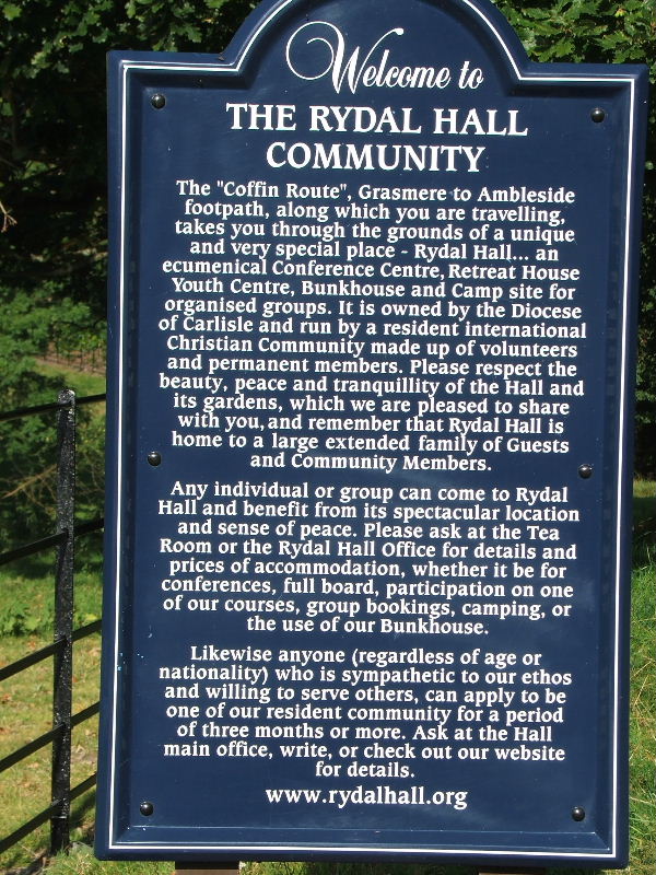
Rydal Hall information board.
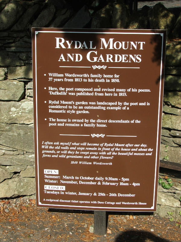
Rydal Mount information board.
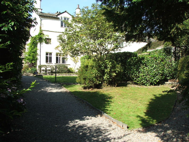
Rydal Mount
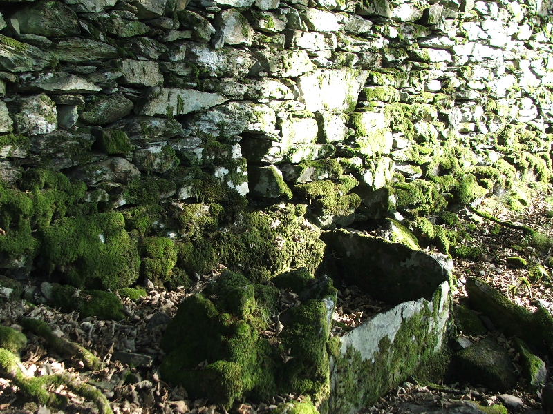
An old watering station along the corpse road.
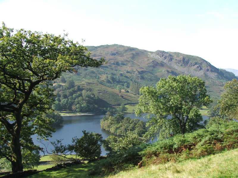
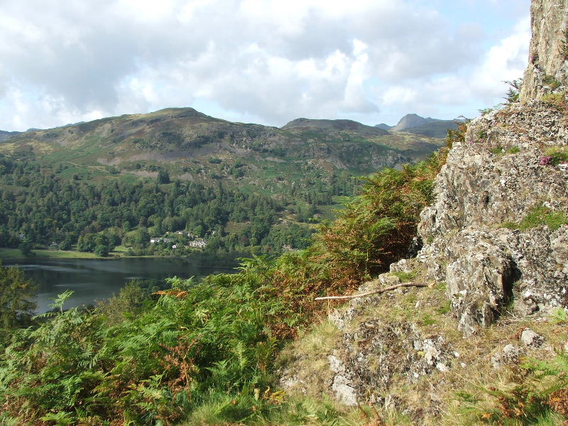
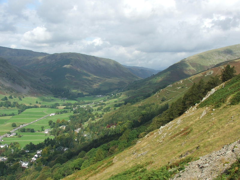
Looking across Rydal Water to Loughrigg from the corpse road.
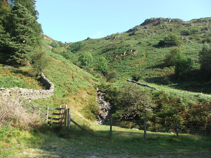
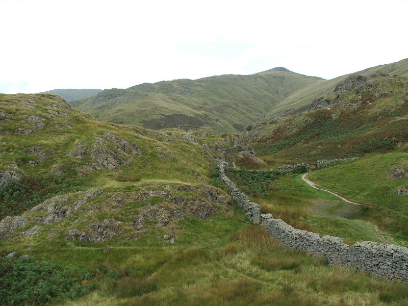
Looking up Dunney Beck. There is a path to Alcock Tarn from here but I had decided on the main one which as better views
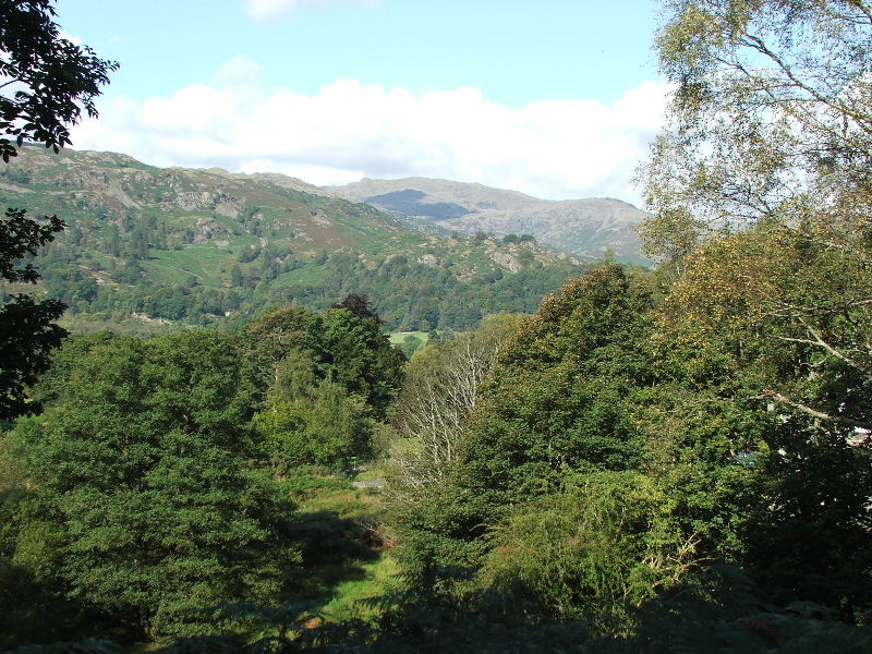
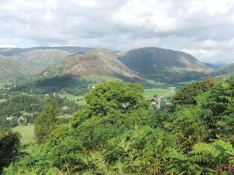
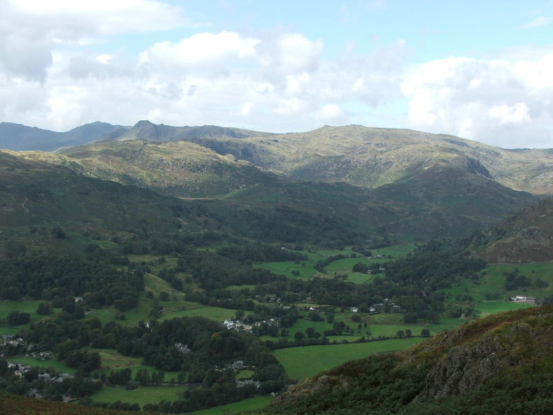
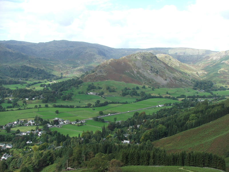
Looking across the Vale of Grasmere towards Sergeant Man. Taken from where we left the Corpse road to go to Alcock Tarn
Looking towards Wetherlam from the path up Alcock Tarn.
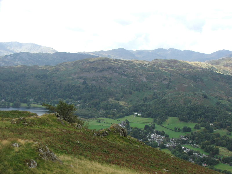
Silver How with the Langdales in the distance from the Alcock Tarn path.
As we gained more height the views to Helm Crag and Steel Fell opened up.
The Easedale Fells
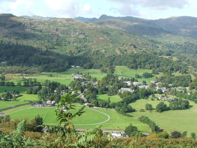
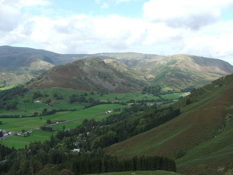
Looking down onto Grasmere. Car park looked pretty full.
Nearly at the tarn now and looking to Steel Fell and Dunmail Raise.
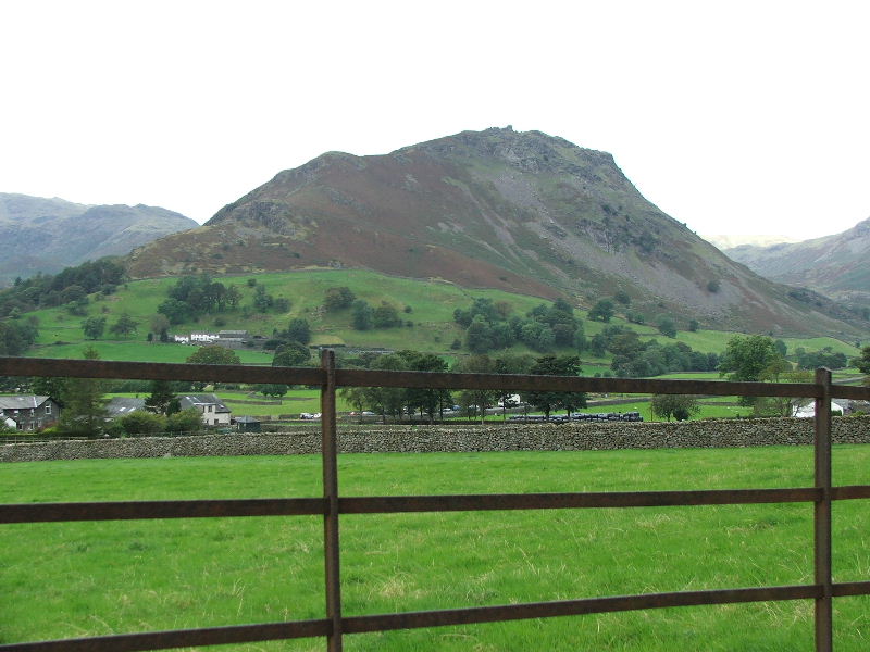
A peacefull Alcock Tarn with Stone Arthur and Great Rigg behind.
The Easedall Fells with Helm Crag in the foreground.
We are not high enough to see Easedale Tarn but it is in the dip in mid picture
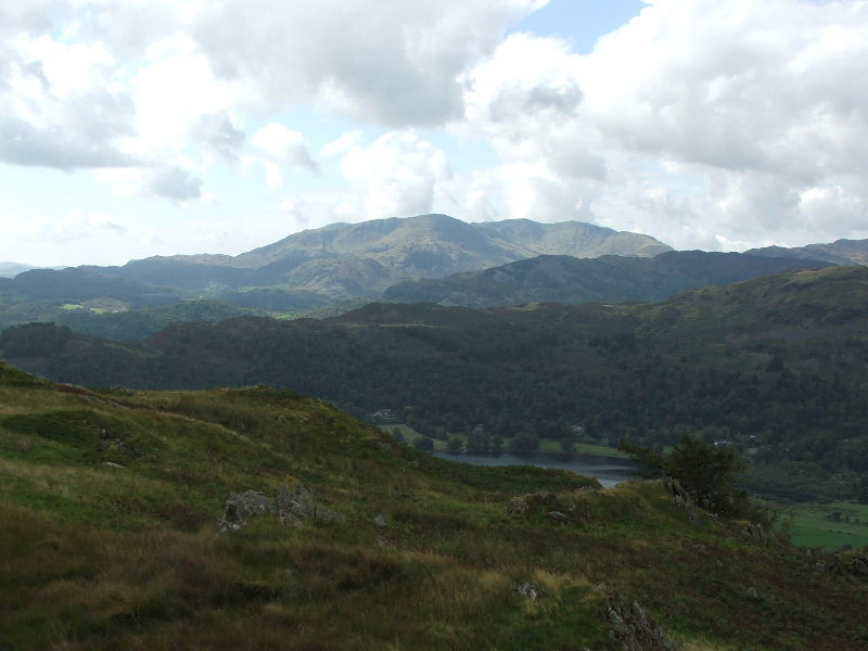
Silver How in foreground with the Crinkle Crags and Bowfell on the skyline right of center.
Wetherlam, Swirl How and Great Carrs from Alcock Tarn
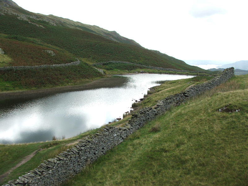
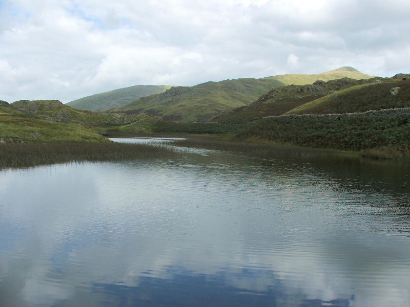
Looking along the tarn with Windermere in the distance
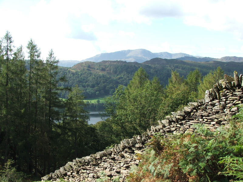
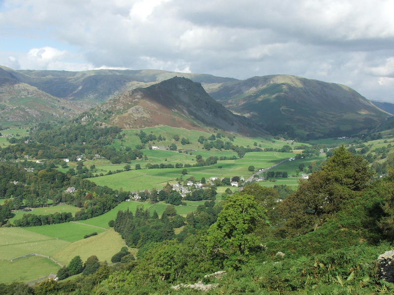
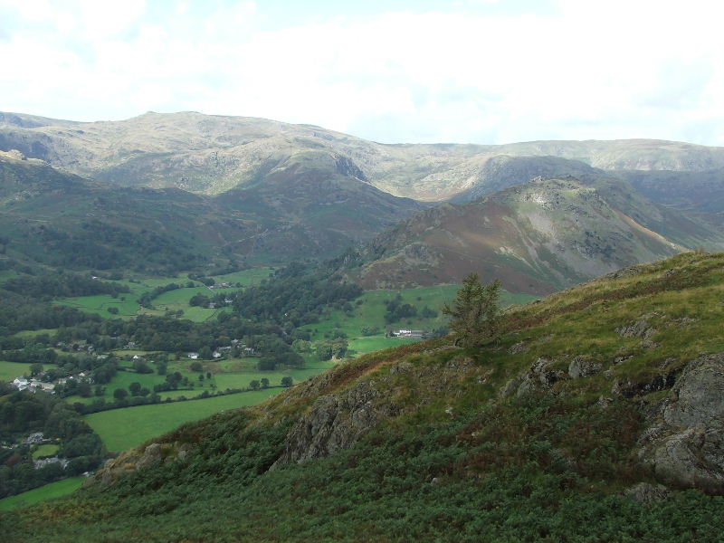
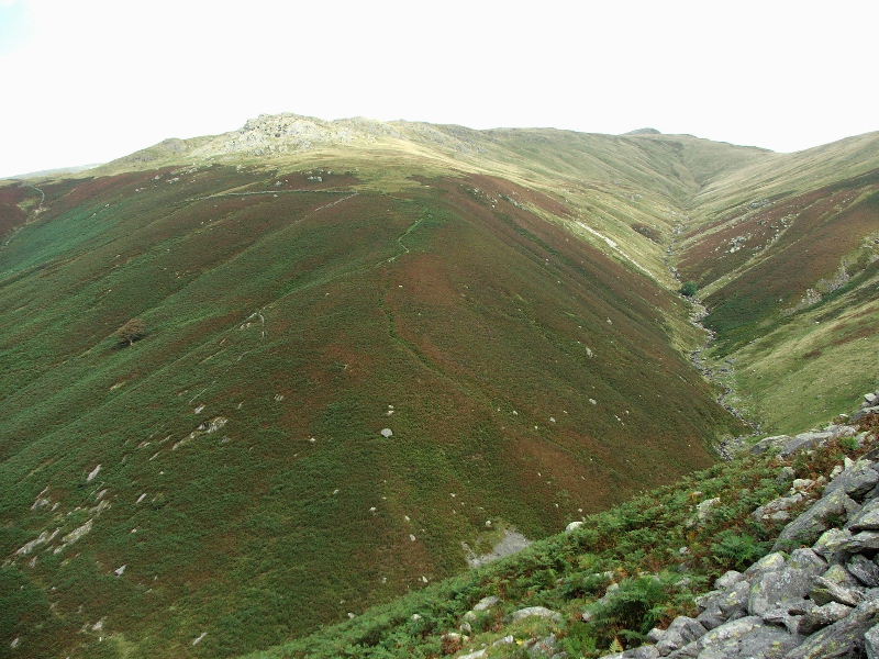
The start of our descent path with Stone Arthur and Great Rigg behind.
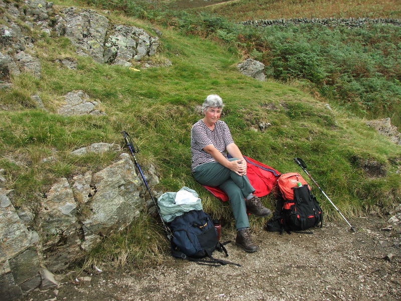
Butties finished and time for a pose.
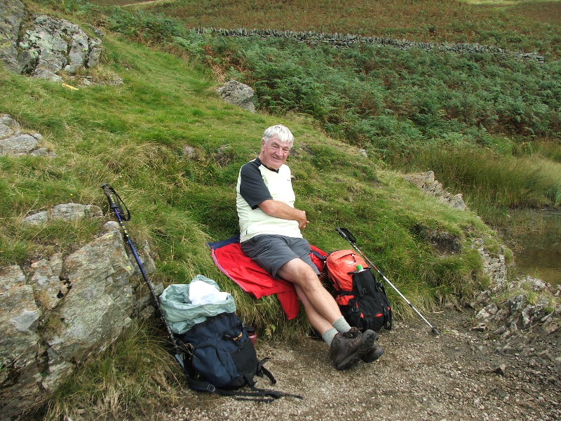
No comment!
From our descent path looking into Greenburn with Helm Crag (l) and Steel Fell (r)
The path down is quite good if you stick to the original zig zags.
Looking up Greenhead Gill with Stone Arthur left.
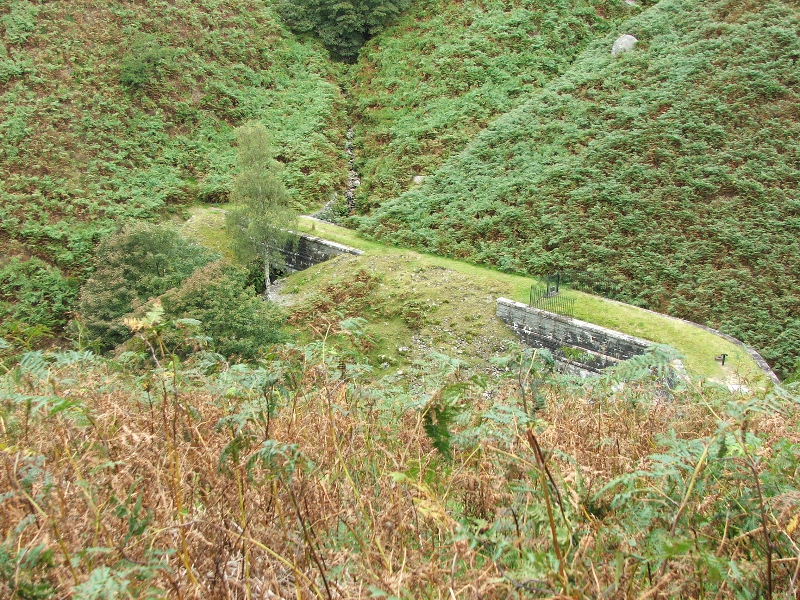
The Thirlmere - Manchester aqueduct as it crosses Greenhead Gill
Back down in the valley now and Helm Crag shows its eastern crags
and from the same point Silver How.
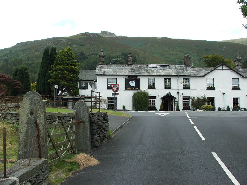
The Swan Hotel on the A591 outside Grasmere. This was our furthest point from the car. Coincidentally it is half way through the pictures and an appropriate place to break.
For the second part of this walk click here
Last Walk: 9th September 2007 -- The Calf from Bowderdale Foot