
| Area: | Lake District | Ascent: | 1446 feet |
| Walk No: | 150 | Time: | 4 hours 15 minutes |
| Date: | 23rd April 2008 | Parking: | Church Bridge , Troutbeck |
| Distance: | 8.5 miles | Weather: | Dull at start then brightening into a glorious afternoon |
| Route: | Car - Longmire Track - Troutbeck Tongue - Sheepfold - Trout Beck - TroutBeck Farm - Ing Bridge - Car |
For those of you that are thinking of going onto the hills I would strongly recommend that you read the advice given by the Mountain Rescue organisation of England and Wales. To read this advice, which will open in a new page please click HERE. If you would like to make a donation to the Mountain Rescue organisation which is purely voluntary please click HERE. Please make the time to read the advice page.
The
weatherman for once was right today. It was a dull and gray morning but with the
promise of sun later. With this in mind we didn't leave home until midday but
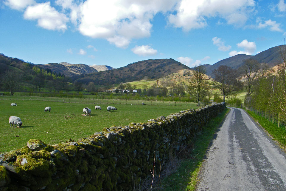
were parked up and ready to walk by 1pm. As we set off up past The Howe to join
the Longmire Track it was still murky but as we headed up the right hand side of
the valley towards Long Green Head farm there was signs of it brightening and by
the time we reached the short but steepish climb up the south end of The Tongue
it was a glorious day.
From the summit we headed northwards to first the old cairns and then the
sheepfold before crossing Trout Beck. Turning s'wards we followed the beck down
to the old slate bridge and then to Troutbeck Park before making the return to
the car via Ing Bridge and Lane.
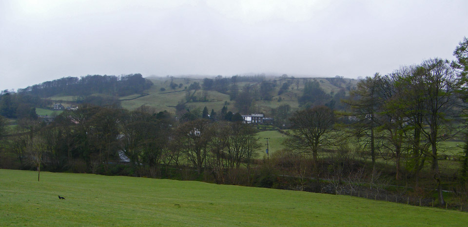
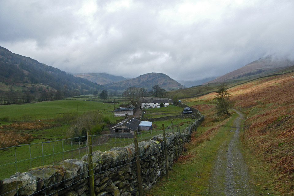
Looking over to Troutbeck as we walked up to the Longmire Track. The cloud was still well down.
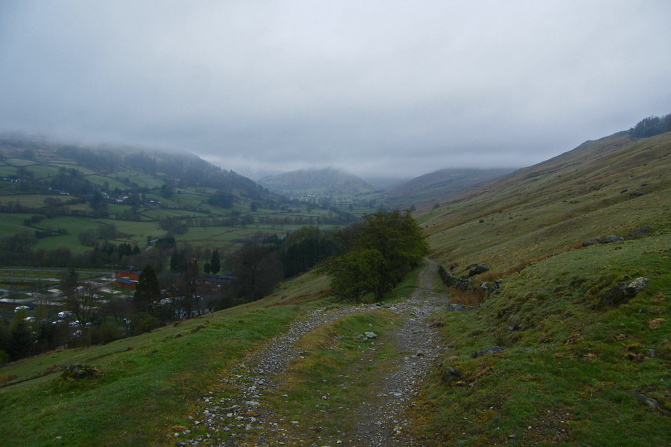
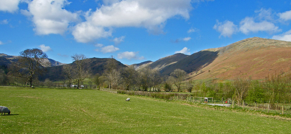
Approaching the caravan park and it seems to be lifting up the valley
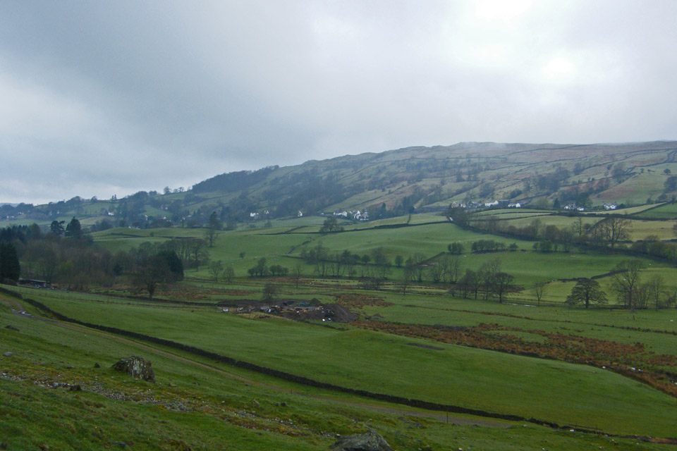
Definite signs of brightness now
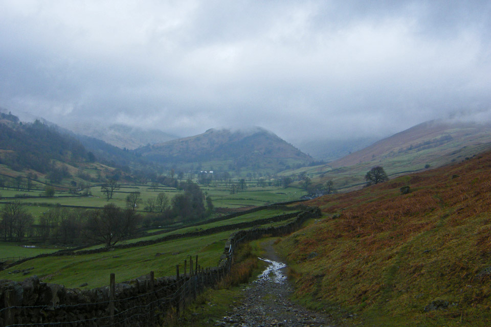
A look back to Troutbeck
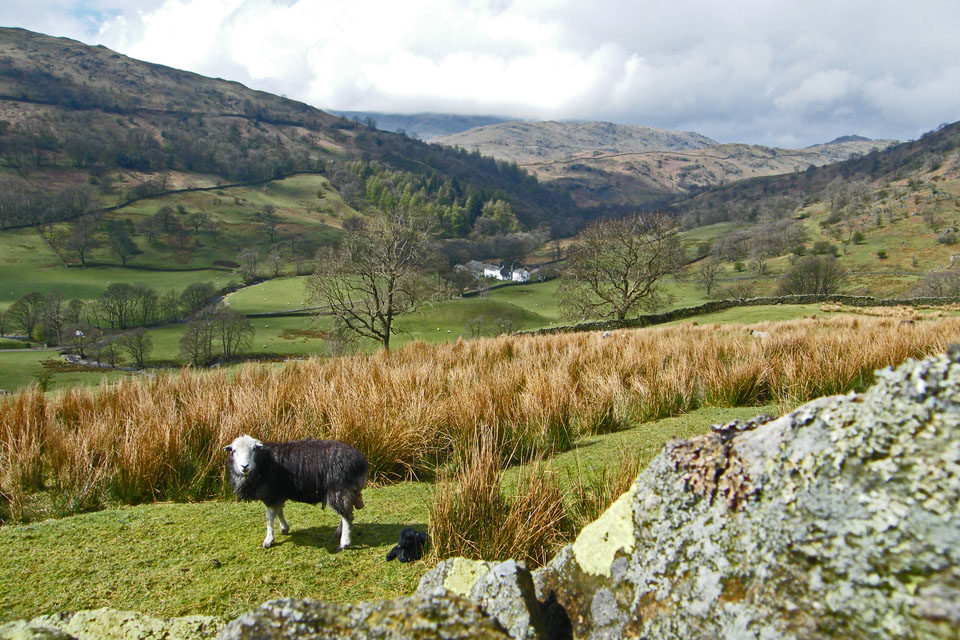
Approaching Long Green Head farm and a first glimpse of sun. The Tongue is now well clear of cloud
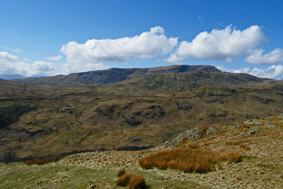
Looking down to Troutbeck Park with the Great Knott and Broad End ridges in front of Red Screes which is still in cloud
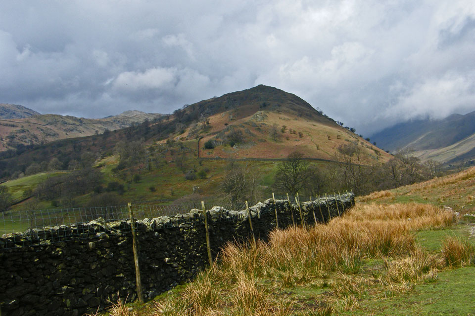
Troutbeck Tongue....Our path up it can just be seen right of centre
Approaching the point where we cross over Hagg Gill to start climbing up the Tongue
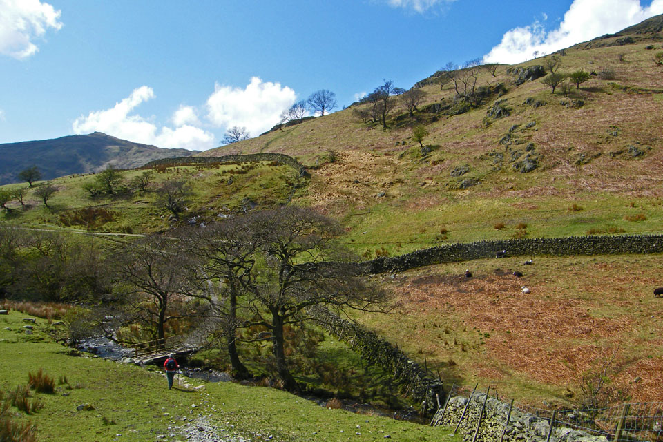
The footbridge over Hagg Gill. Our path up the Tongue can be seen above the wall just left of centre.
Gaining height we reach the cross fence.
The way ahead
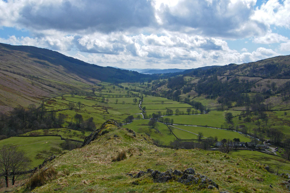
But first a look back down the valley with Windermere in the distance
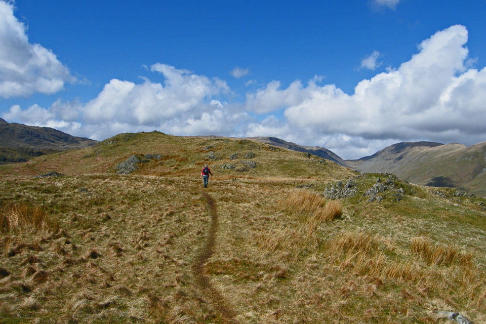
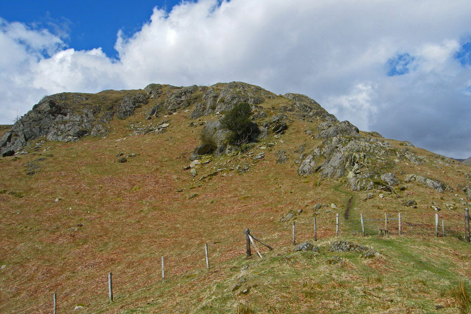
The climbing is nearly over and the summit comes into view.
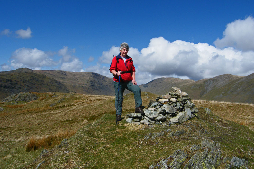
Sallows & Sour Howes from the summit with Windermere to the right
Red Screes just shows above the ridges of High Great Knott and Broad End
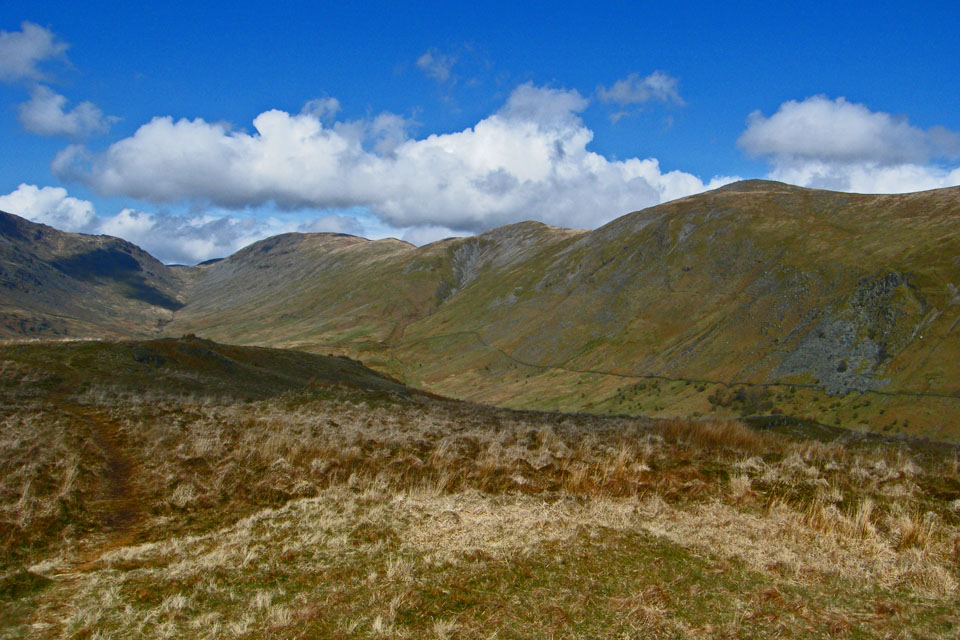
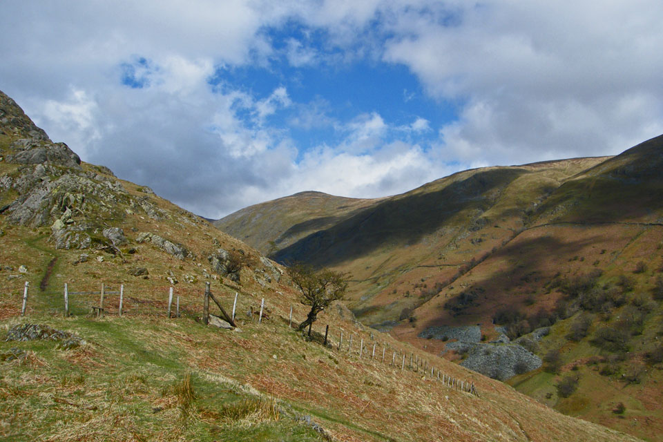
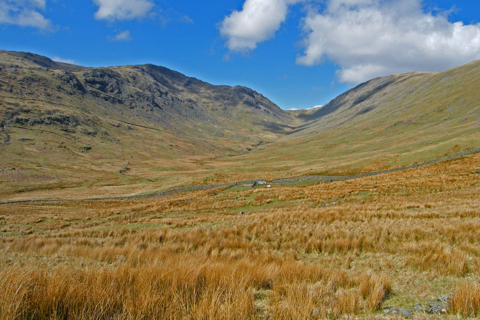
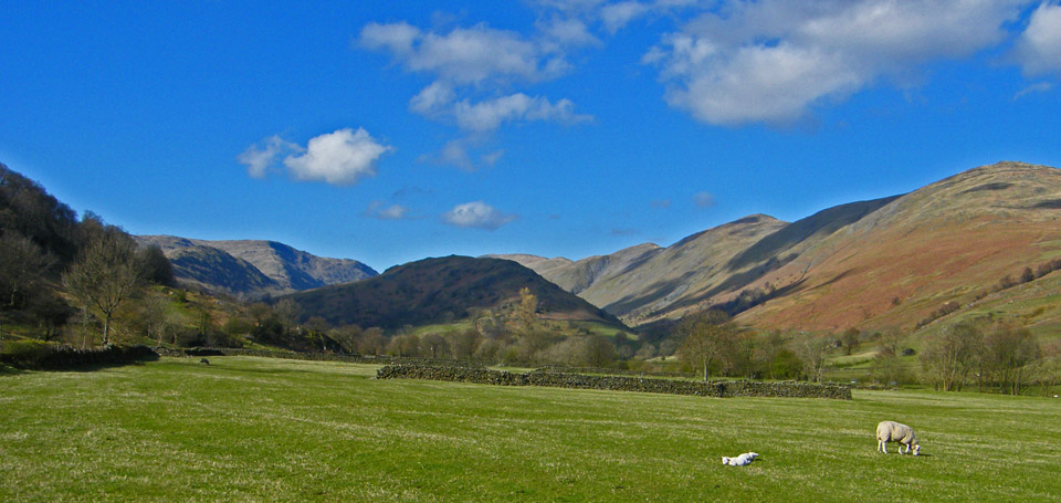
Ill Bell, Froswick and Thornthwaite Crag with the "V" of Threshthwaite Mouth .
Further left to Stony Cove Pike and Threshthwaite Crag
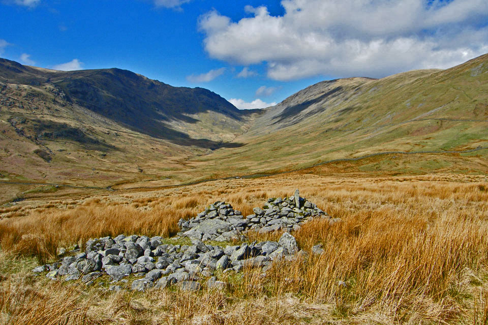
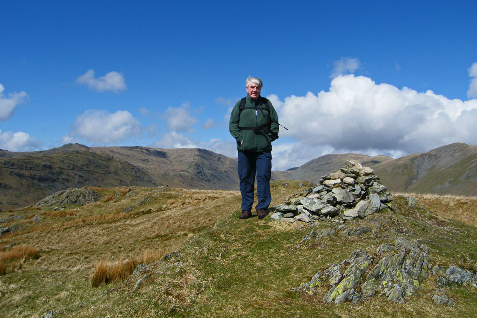
The Ancient Cairns of Troutbeck Park
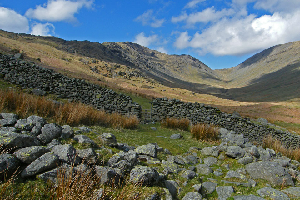
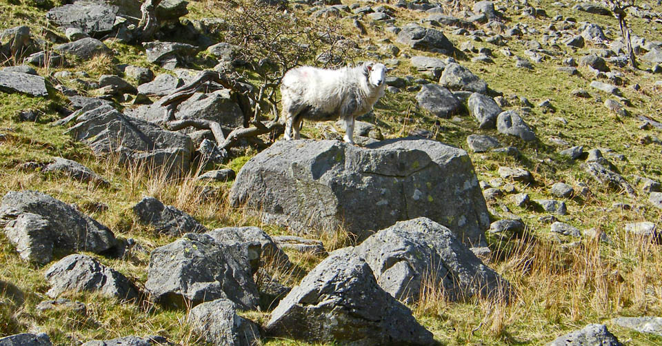
Making our way down to the sheepfold from where we went left to cross Trout Beck and pick up a path back down the valley.
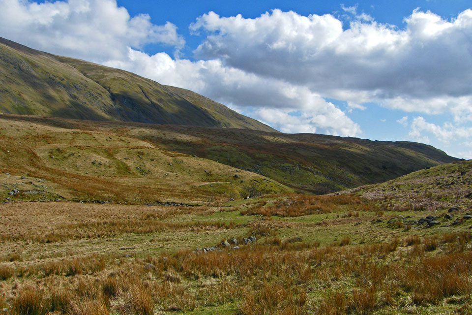
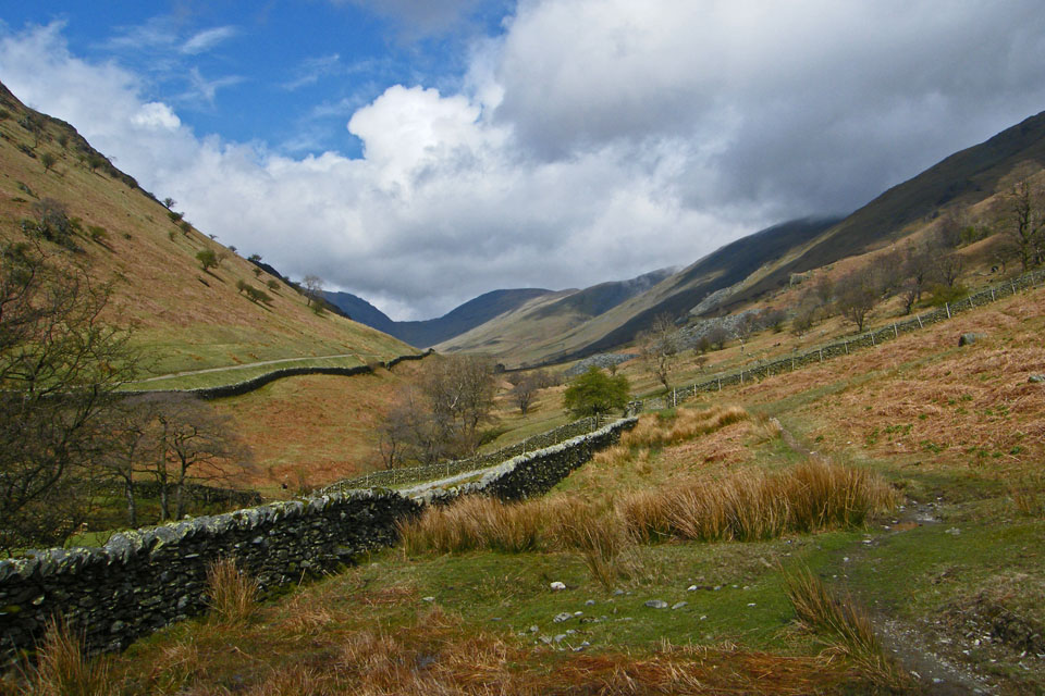
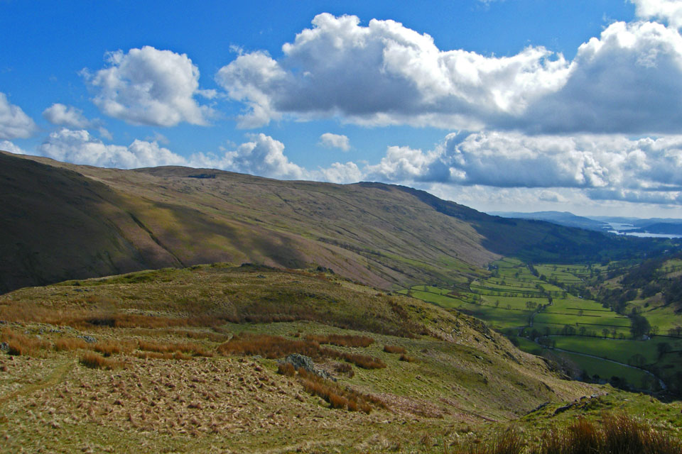
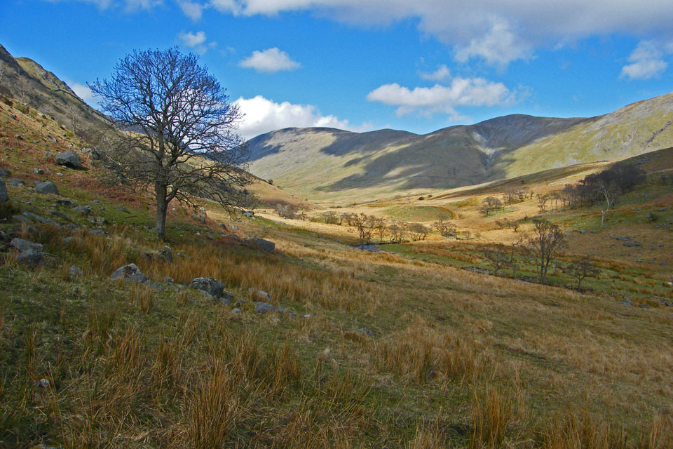
Troutbeck Tongue from the return path
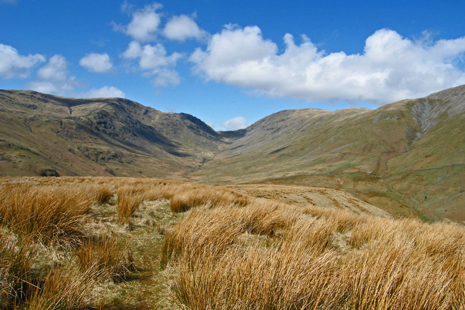
This path, not commonly used leads to the "V" of Threshthwaite Mouth
In my opinion it is a far better way of return than the more commonly use path on the other side of the Tongue
A look back
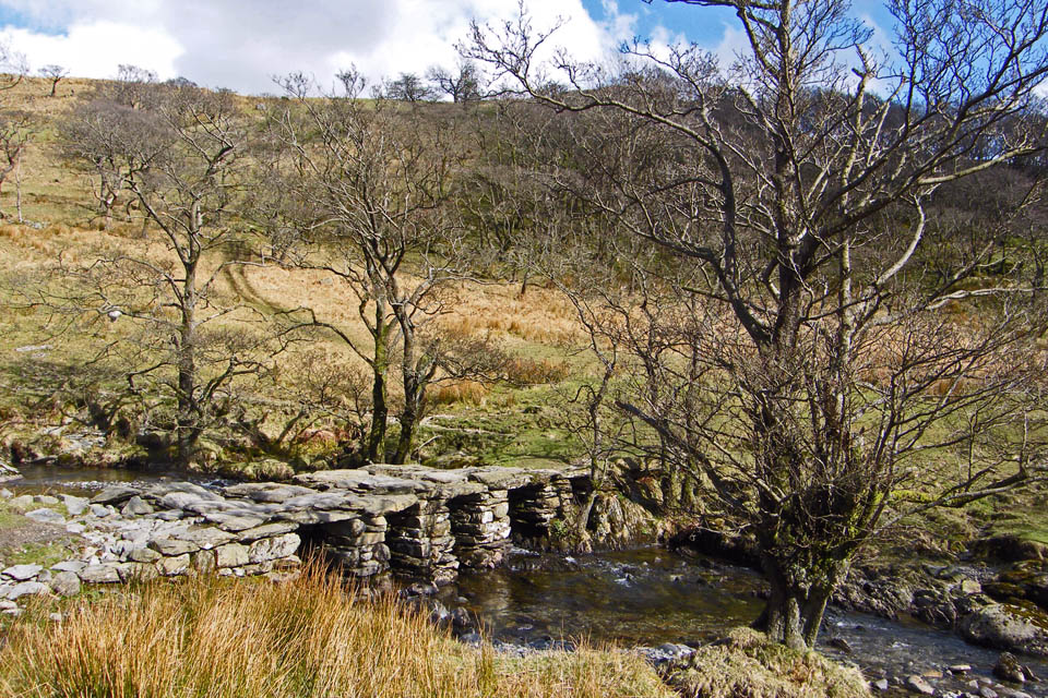
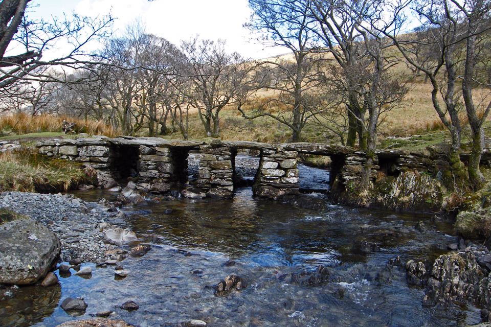
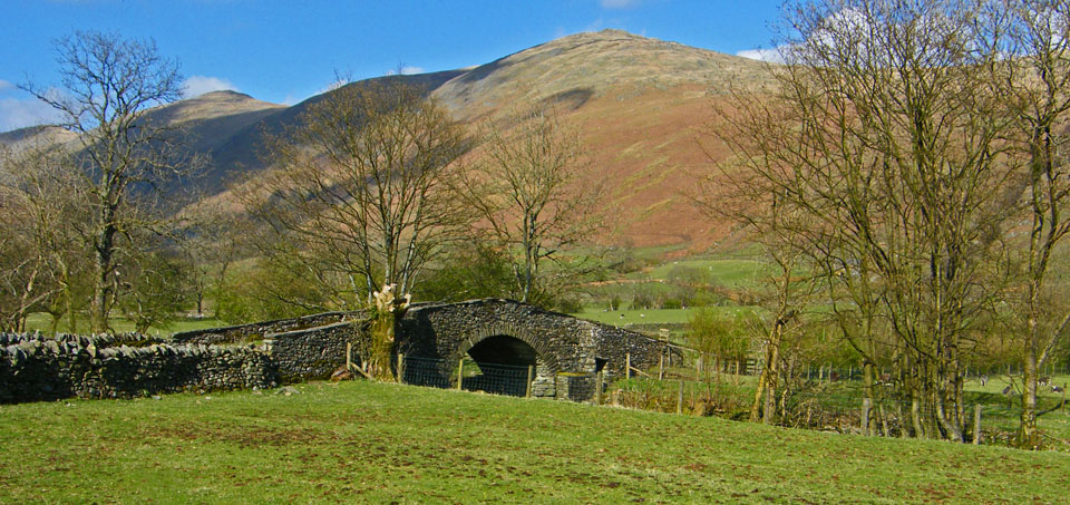
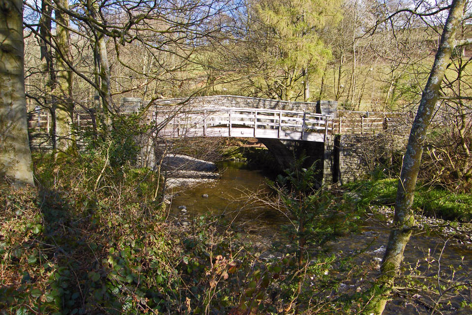
The delightful slate bridge where we cross Trout Beck
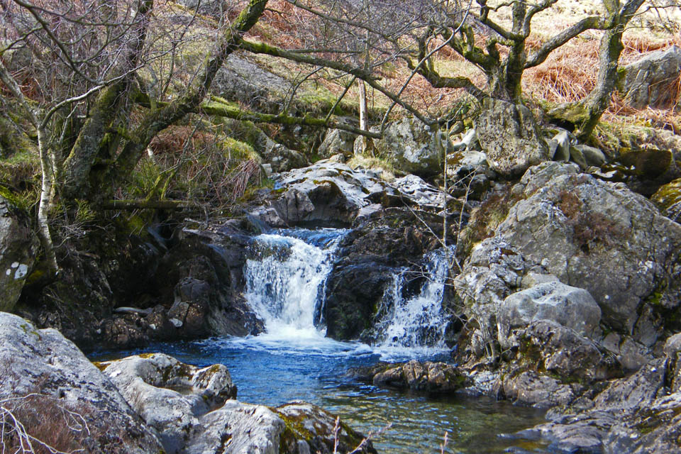
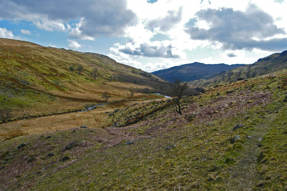
Following the beck down we passed a series of small falls
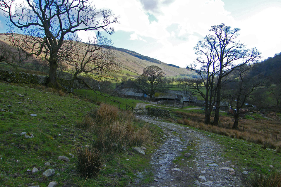
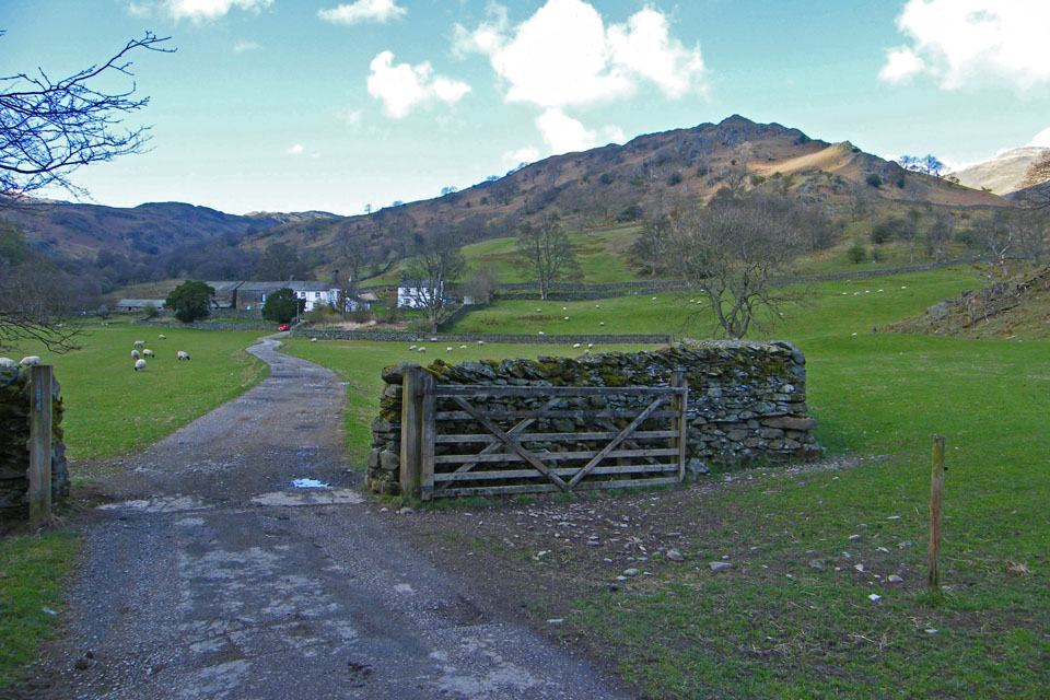
Approaching Troutbeck Park
A look back
It was really warm as we walked down the lanes back to Church Bridge passing Ing Bridge along the way
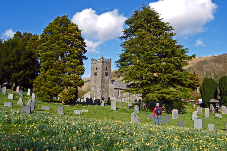
Troutbeck Church.....The daffodils are all but finished
And finally....back to our parking spot at Church Bridge.
Next Walk: 28th April 2008 -- Silverdale from Crag Foot
Last Walk: 21st April 2008 -- Levens Park & Canal from Levens Bridge
We hope you have enjoyed viewing this walk. If you have any comments please sign our Guestbook or E_Mail us
