
| Area: | Lake District (SE) | Ascent: | 412 feet |
| Walk No: | 219 | Time: | 2hours |
| Date: | 26th October 2008 | Parking: | Roadside near Levens Bridge (SD496855) |
| Distance: | 4.5miles | Weather: | Fine with some sun......Very wet underfoot |
| Route: | Car - Levens Park - Park Head with a return the same way |
For those of you that are thinking of going onto the hills I would strongly recommend that you read the advice given by the Mountain Rescue organisation of England and Wales. To read this advice, which will open in a new page please click HERE. If you would like to make a donation to the Mountain Rescue organisation which is purely voluntary please click HERE. Please make the time to read the advice page.
After the heavy rainfall at the weekend many of the the roads in the Lakes were closed due to flooding. We set off with the intention of going to Staveley to do the walk that we were supposed to do on the Friday but couldn't because we had left our jackets at home. Our first diversion was at Carnforth on the A6 where the road was under about 3 feet of water near the Truckhaven Lodge. We got around this by getting onto the M6 and came off at J36 onto the A590. The next problem came at the junction of the A590 and the A591. Due to flooding once again a section of the A591 was closed off with diversions in place. By this time I was a little fed up with the situation so I made the decision to go to Levens Bridge for this walk.
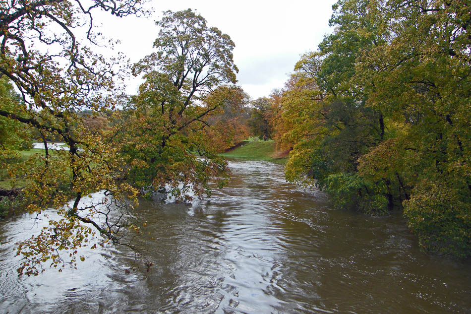
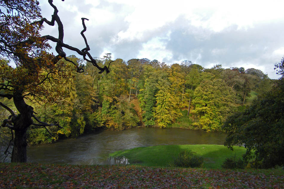
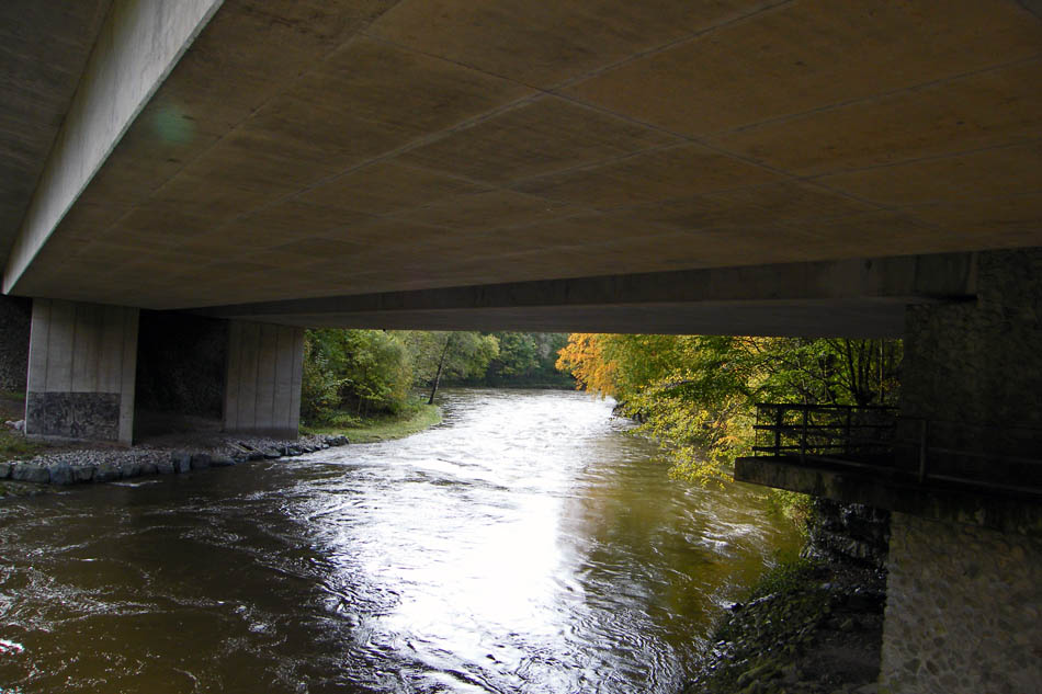
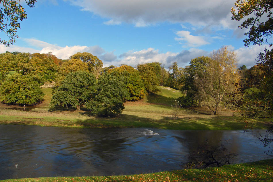
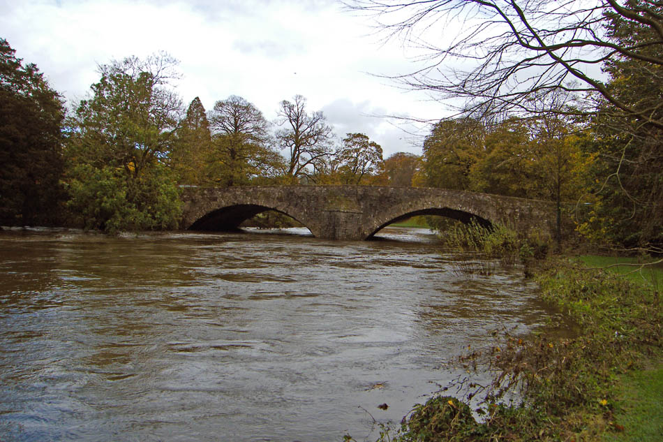
The River Kent from Levens Bridge. The river is well above its normal level but the level was dropping.
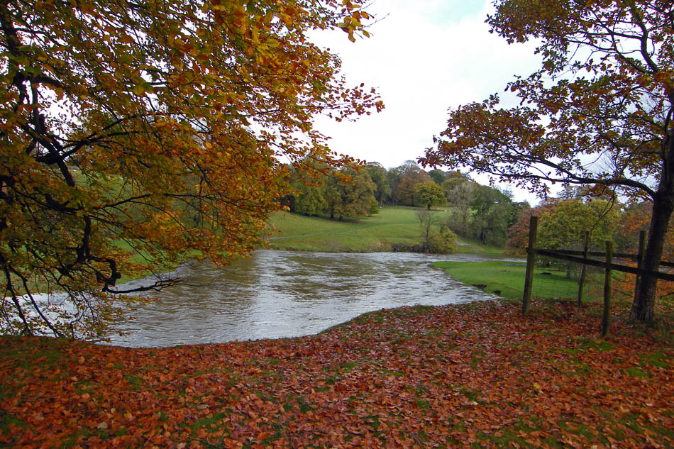
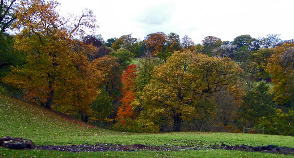
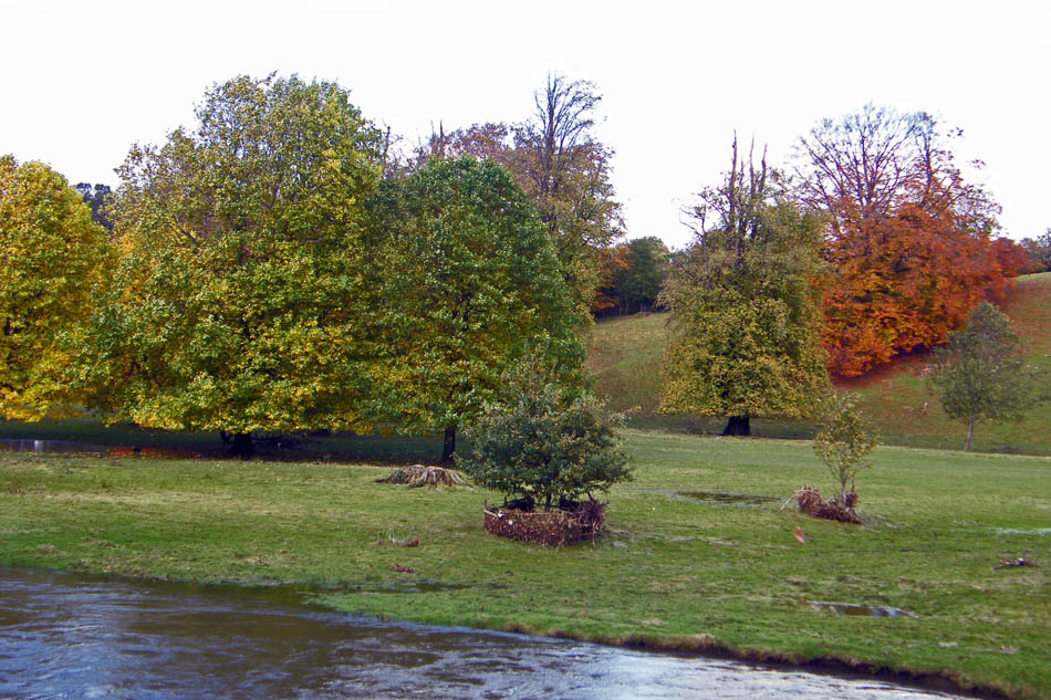
Sloping banks deter any serious flooding in the park.
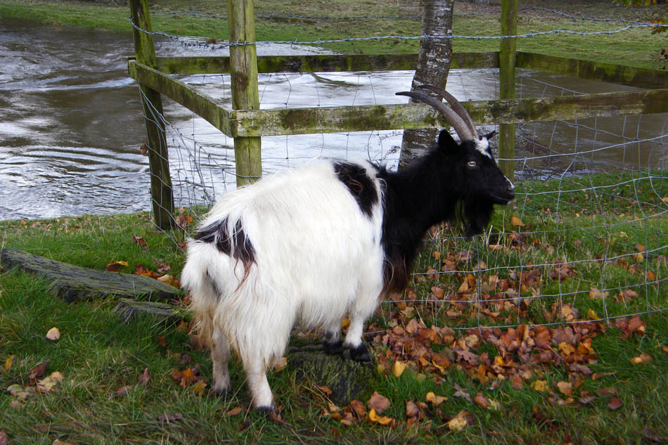
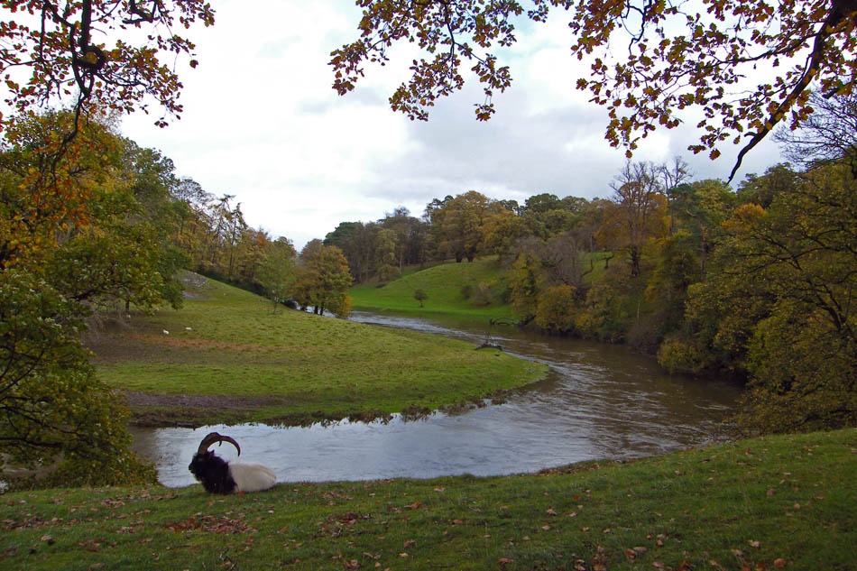
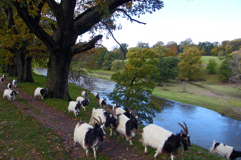
One of the many Bagot goats, a rare breed brought to this country around the time of Richard the Lionheart.
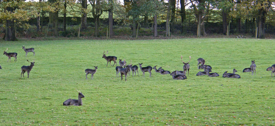
Some of the Norwegian Black fallow deer. It's that time of year and the stags were sorting out who was the dominant one.
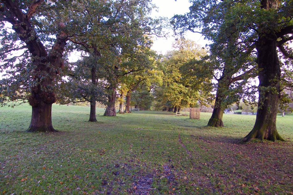
Part of the mile long avenaue of Oaks. Laid out between 1694 and 1710 by the French landscape designer Monsieur Guillaume Beaumont.
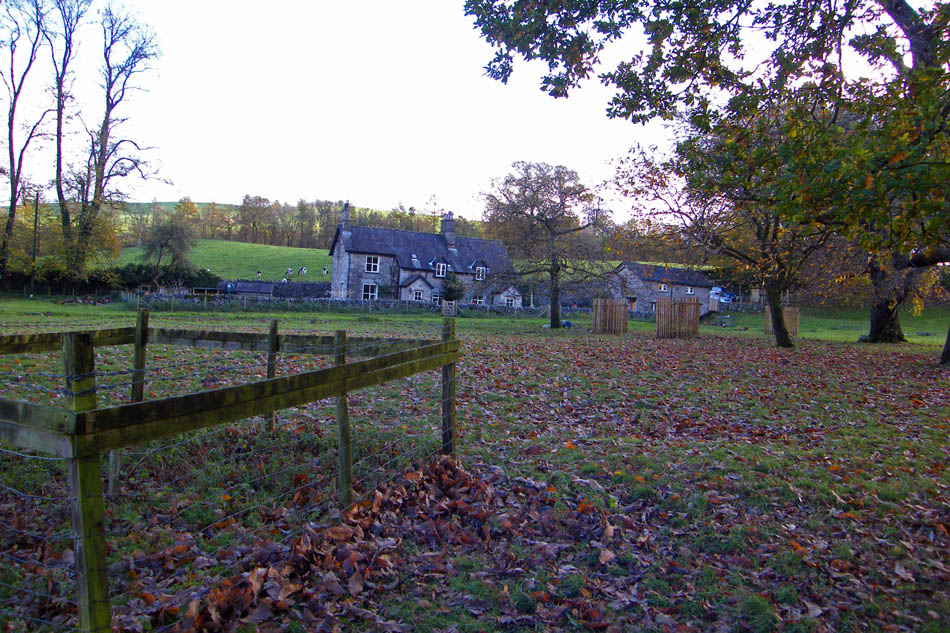
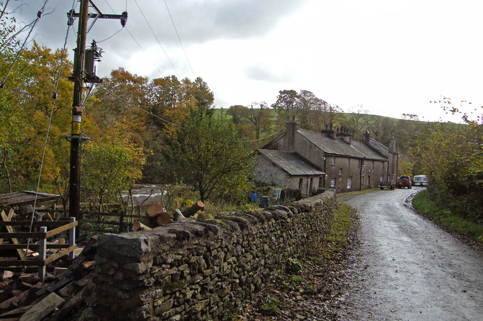
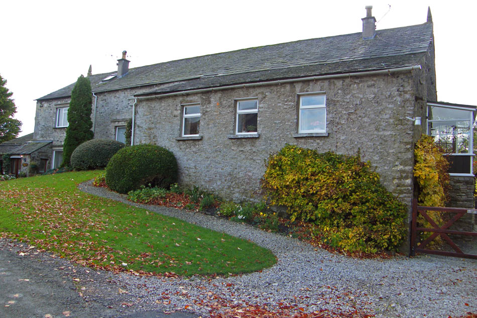
Cottages at the top of the park.
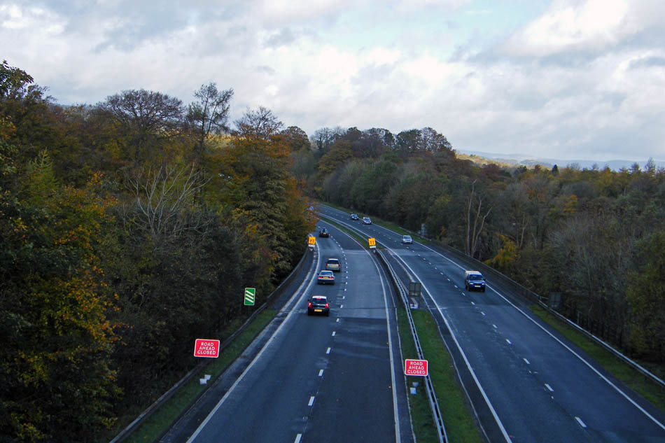
Leaving the park we crossed the A590. A half-mile further along the road was closed off with diversions in force due to flooding.
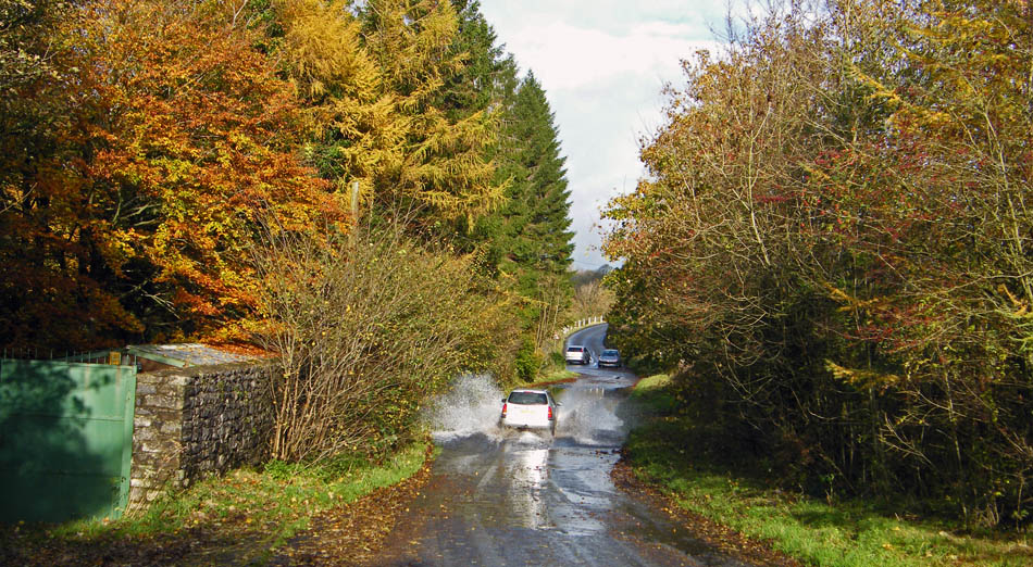
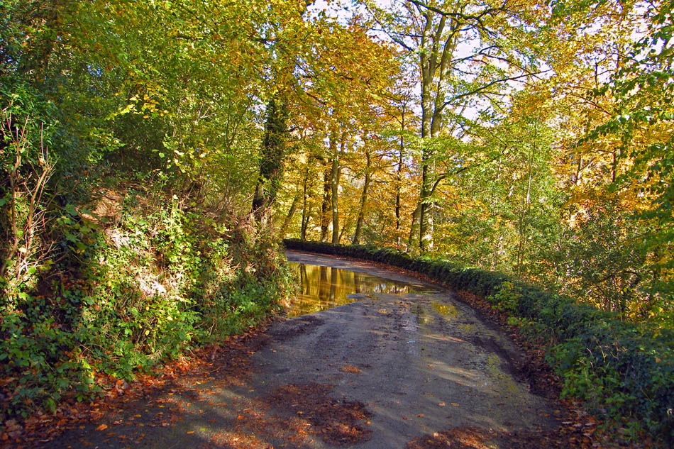
The minor roads also had there problems.
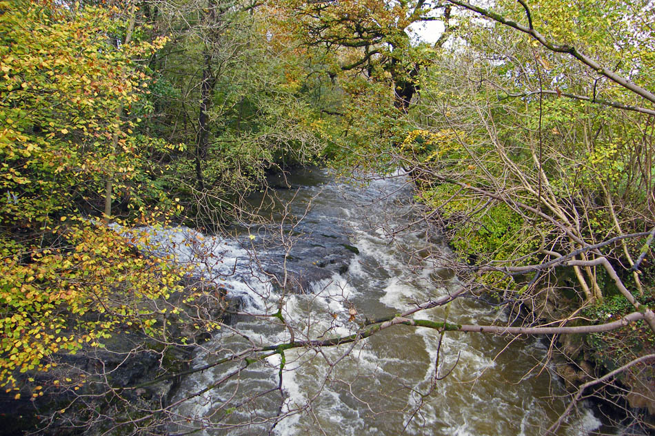
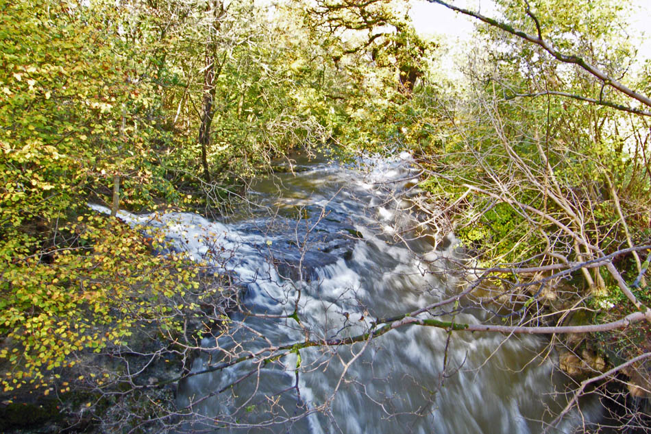
The falls at Force Bridge. There was a lot of water coming down the river almost covering the small fall.
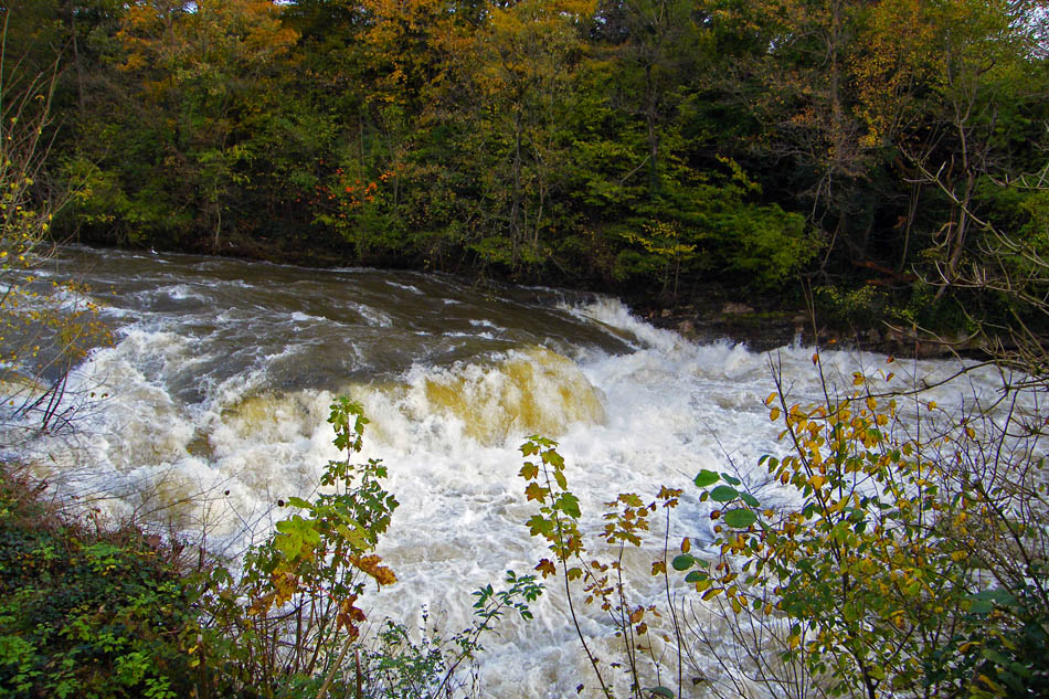
Force Fall itself was buried under the sheer volume of water.
We are now at Park Head where we take a path that will eventually take us back into Levens Park.
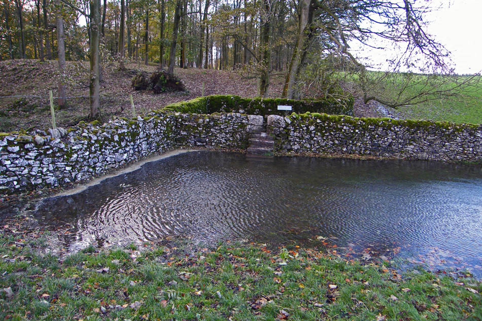
However faced with 18" of water at this side of the wall stile and probably double that at the other we hit a slight problem. Normally it's just a case of carefully climbing over the wall but with both upper limbs suffering with the RA it was decided to return the same way. This, as it turned out was probably the wisest decision as the ground at the bottom of the park on this side was absolutely sodden.
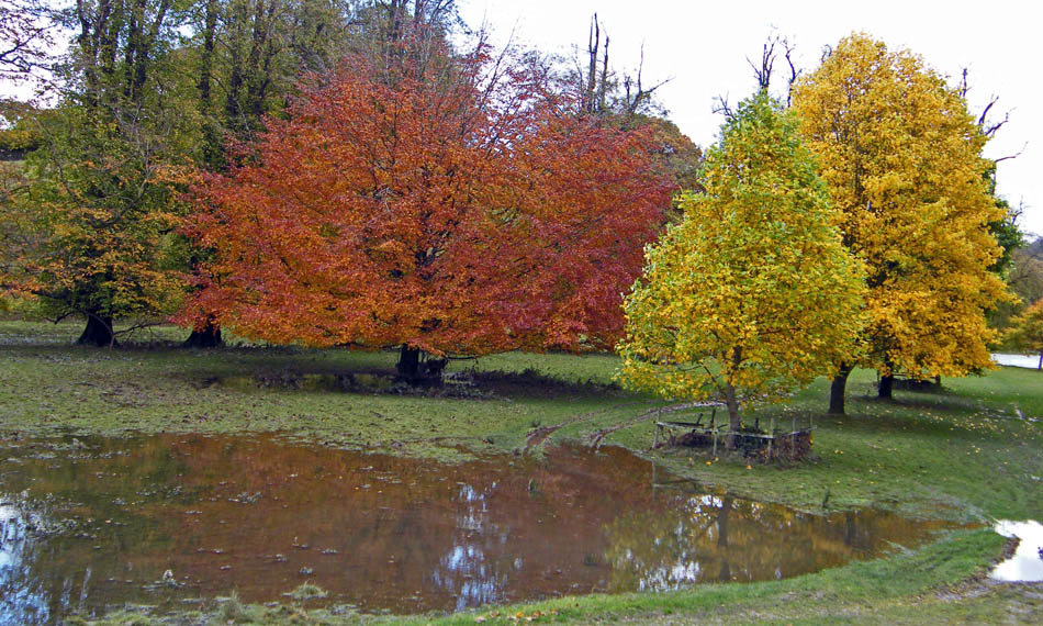
As we walked back towards Force Bridge the colours and reflections looked good .
Back at Force Bridge
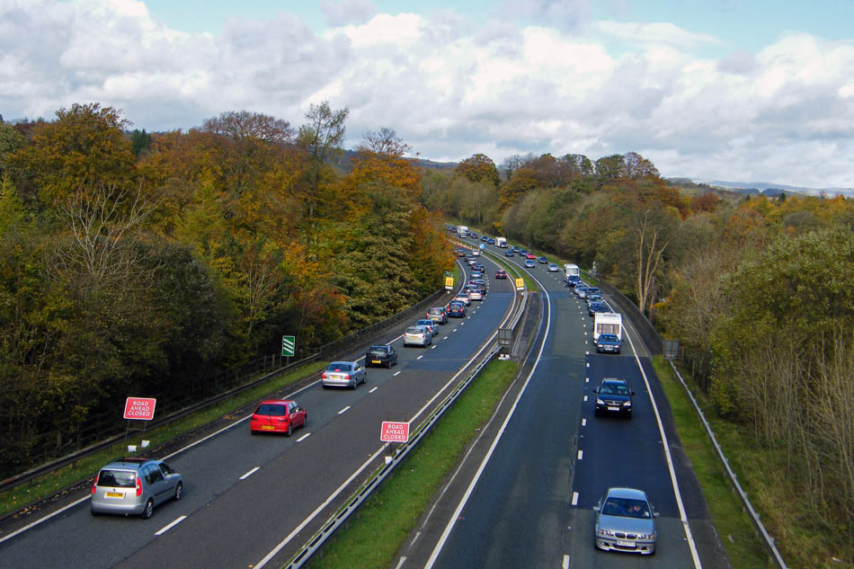
Back at the A590 and the Lakes traffic was backing up at the closed road. The diversion around the flood was on minor country lanes not designed for this amount of traffic.
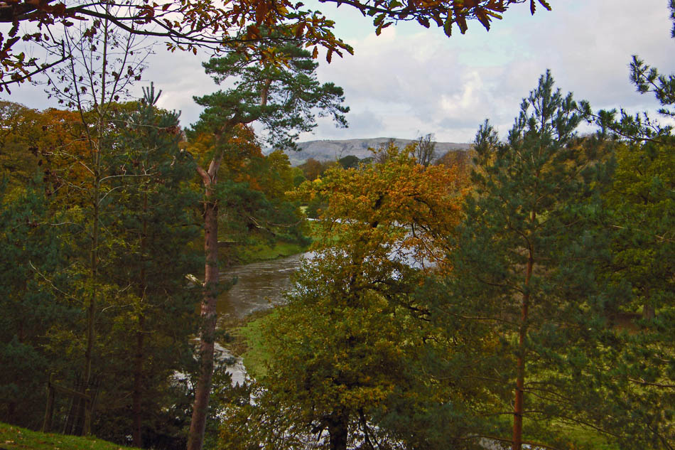
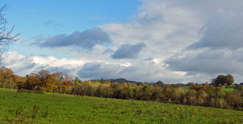
Walking back down through the park we caught this glimpse of Whitbarrow through the trees.
Although the river level was dropping it was easy to see that it had been quite higher from the rubbish caught in the fencing around the tree.
What a disaster!!!!!......We walked to Levens Hall to find it closed for the winter months......another walk with no cafe!!!
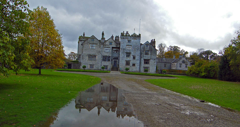
Levens Hall
It was a wise decision not climbing the wall earlier. If we had we would have had to get through this lot.
Next Walk: 27th October 2008 -- Lake District (SE) -- Cunswick Fell & Scout Scar from the Underbarrow Road
Last Walk: 22nd October 2008 -- Lake District (SE) -- Grandsire & School Knott from Cleabarrow
We hope you have enjoyed viewing this walk. If you have any comments please sign our Guestbook or E_Mail us
