
| Area: | South Cumbria | Ascent: | 905 feet |
| Walk No: | 381 | Time: | 3hours 30minutes |
| Date: | 17th April 2010 | Parking: | Roadside near Holme (SD 527797) |
| Distance: | 7.50 miles | Weather: | Fine & Sunny. Warm but very hazy. |
| Route: |
For those of you that are thinking of going onto the hills I would strongly recommend that you read the advice given by the Mountain Rescue organisation of England and Wales. To read this advice, which will open in a new page please click HERE. If you would like to make a donation to the Mountain Rescue organisation which is purely voluntary please click HERE. Please make the time to read the advice page.
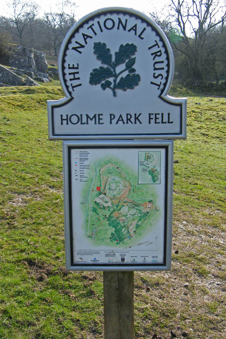
I know that Farleton Fell and Holmepark Fell are not in the Lake District and maybe I should be glad of that or otherwise I am certain that AW would have included them in the Outlying Fells book and they might be a lot busier than they are. AW says in the OFL book that Whitbarrow is the most beautiful walk in the book and I do not question that but think that this walk on a clear day is far superior. Not for me the slog up Farleton Knott but the longer but better way up one of the "shelves" that make up the western edge of Holme Park Fell.
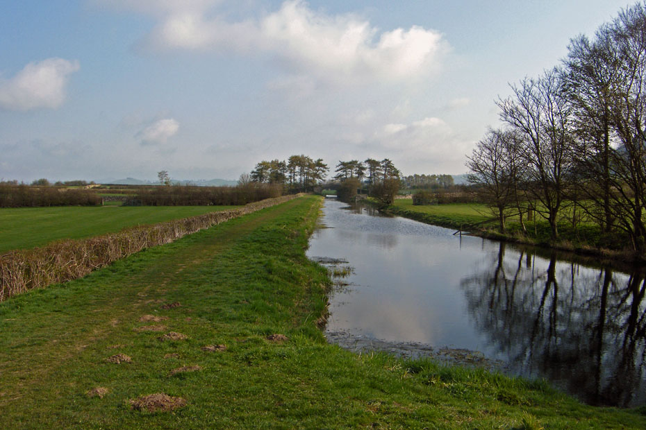
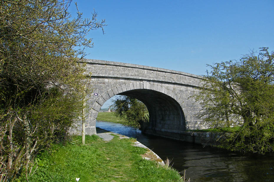
I left the car at the roadside near the Lancaster Canal just off the A6070. My return would be along this section of the canal.
The walk starts with a short road section along the A6070 towards Burton.
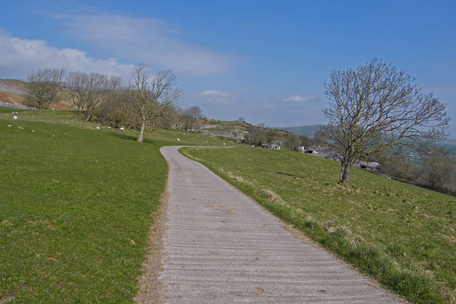
At Holme Park farm I left the road to take the bridleway that goes over Holme Park Fell. This is part of the Limestone Link a path from Arnside to Kirkby Lonsdale.
Farleton Knott from the farm.
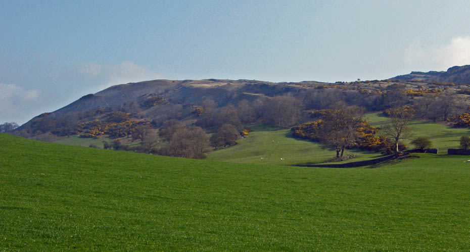
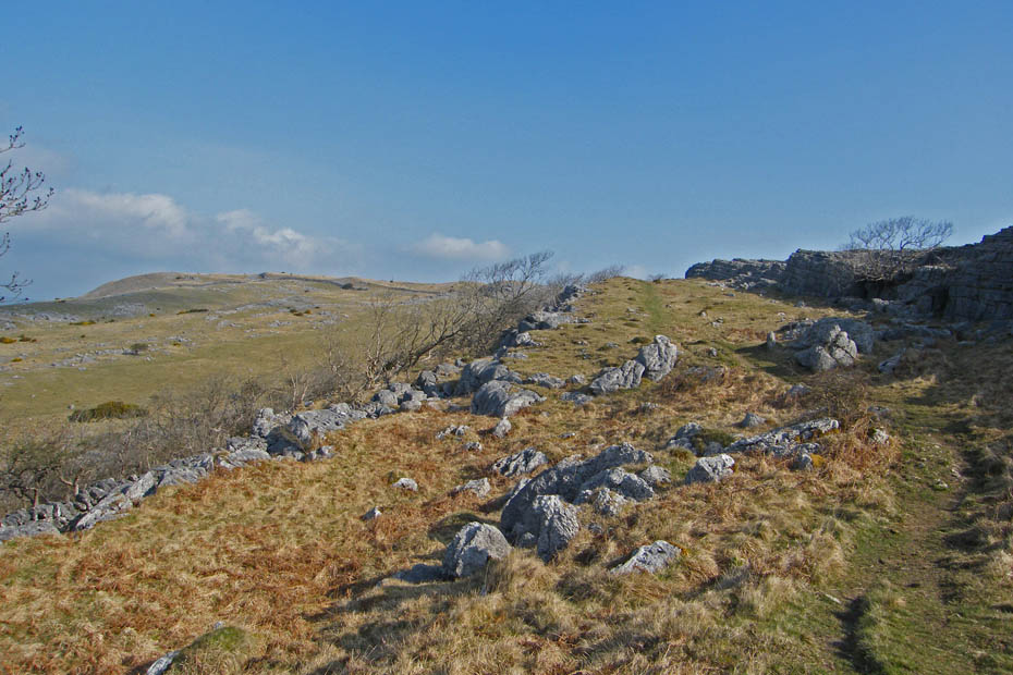
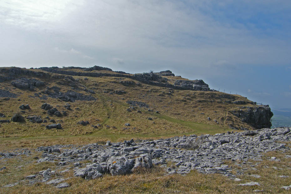
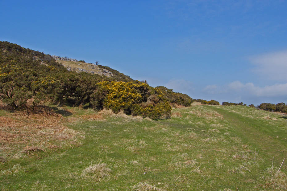
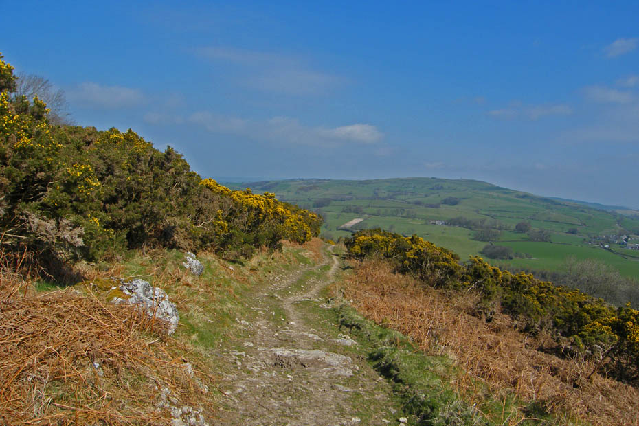
This partly shows my route to Farleton Knott. A number of "shelves" make up the western edge of Holme Park Fell. Most will lead directly or indirectly to Farleton Knott and are all delightful to walk along. The lower one is mainly grassy and covered in flowering gorse, the upper ones a mixture of grass and limestone. I would take the upper one which will take me to the summit of the fell before dropping down to Farelton Knott.
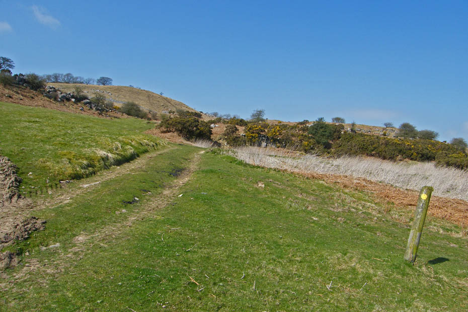
This is where I left the bridleway.
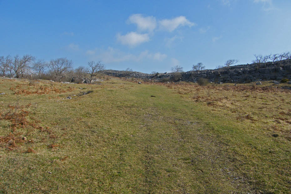
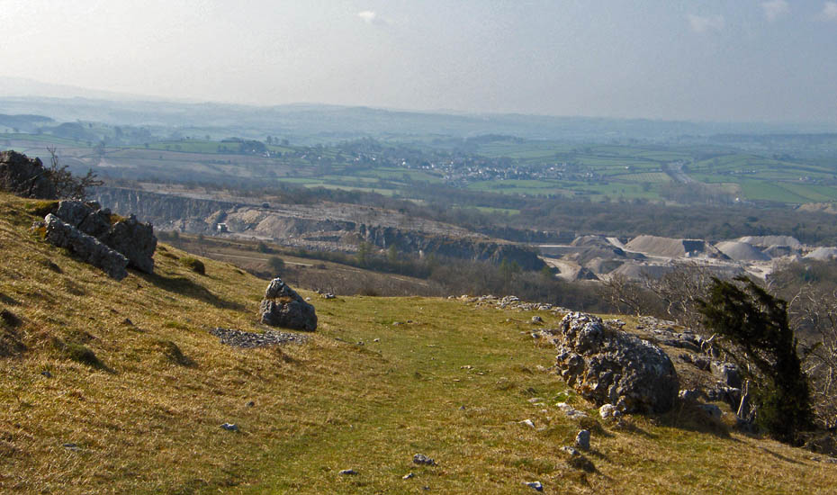
It was a wonderful morning. fine, sunny and warm but the views were very poor due to the haze, You can see the line of the bridleway going off to the left with the workings of Holme Park Quarry behind.
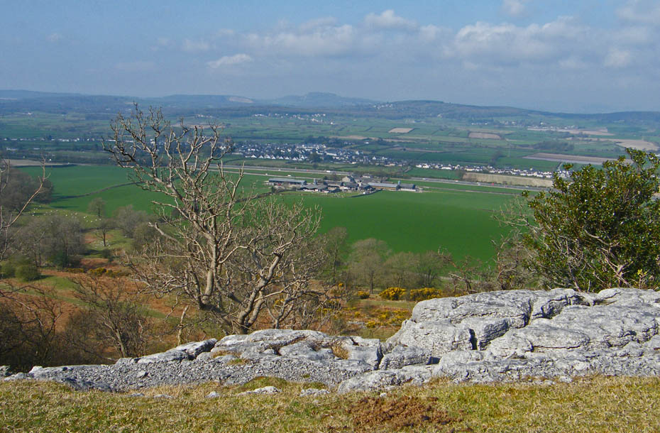
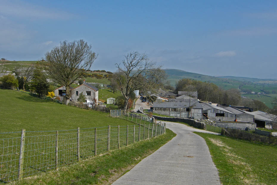
Here I am looking down on Holme Park farm with the routes along the lower shelves below me.
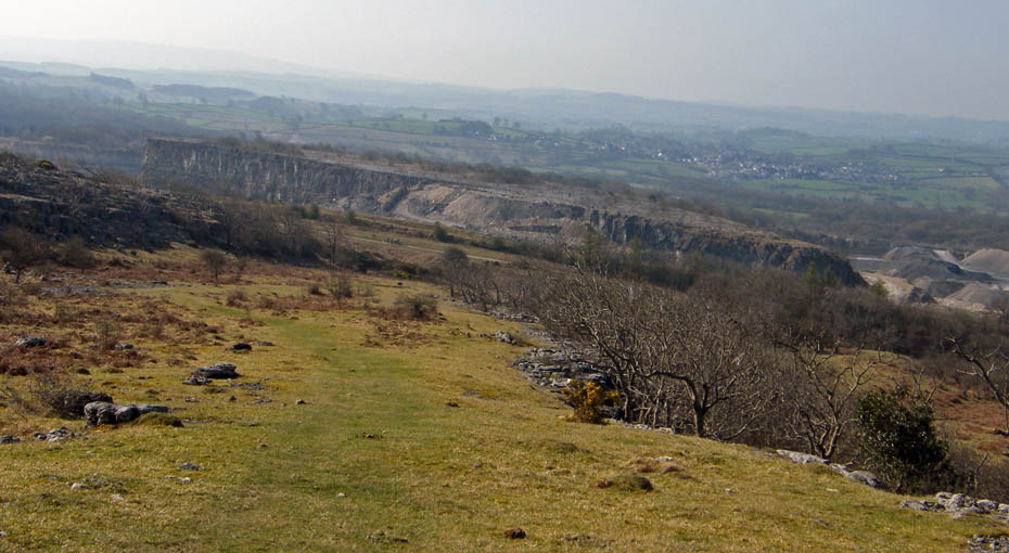
The walking is easy even if I do have to stop regularly. The quarry as taken a huge lump out of the fellside.
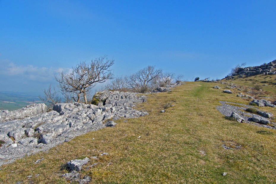
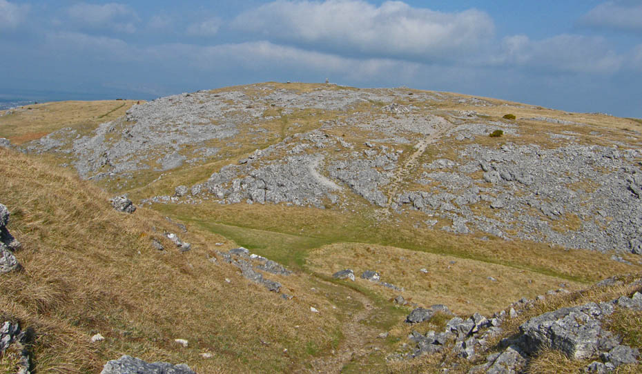
Above me are great areas of Limeston pavement on Newbiggin but this is so much easier to walk on.
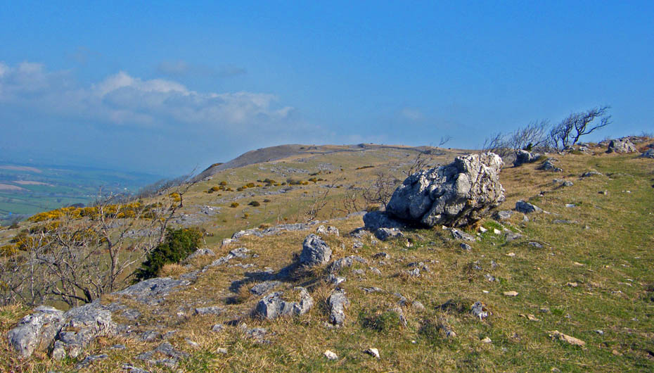
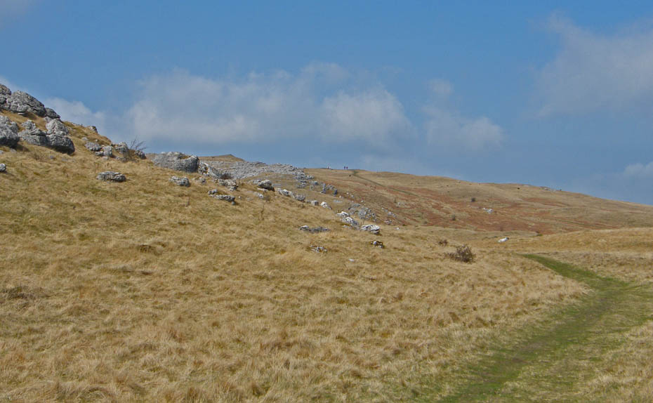
At last a sight of Farleton Knott but there's still a bit to go yet. The lower paths are coming together now below me.
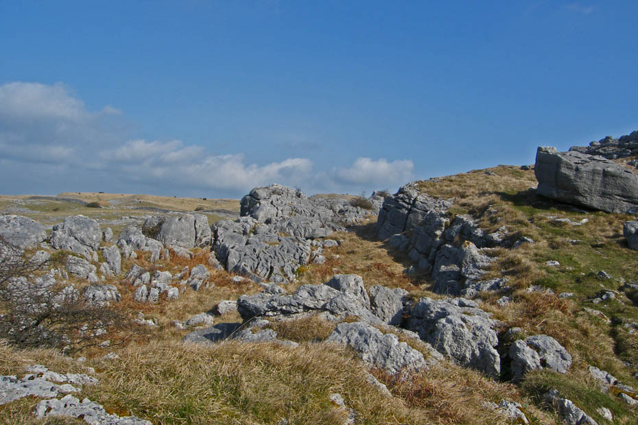
The highest point of the fell is just a few yards away and above me to the right but that isn't where I'm headed.
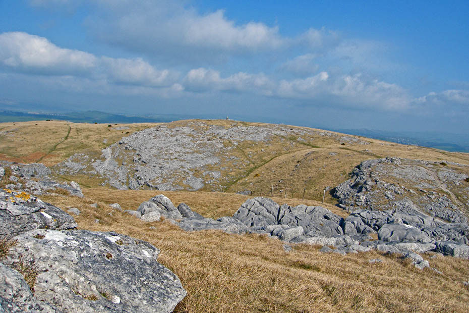
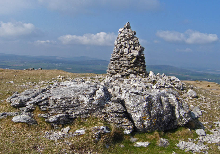
The cairn on Farleton Knott is just over there and that's my target.
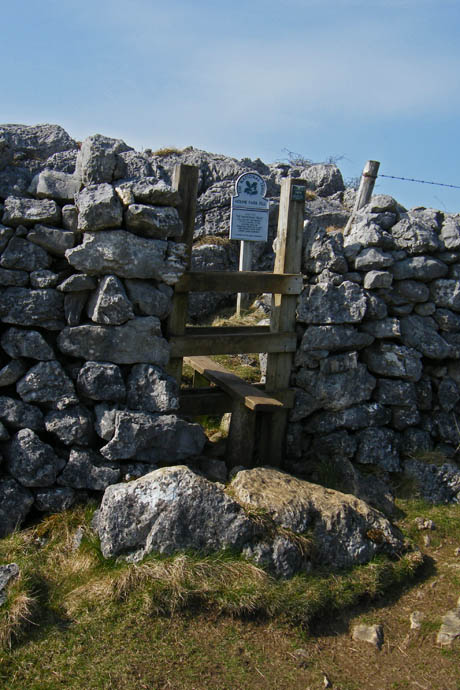
The stile through the wall.
A short descent and reascent....
 ,
,
..and I'm there, but no views.
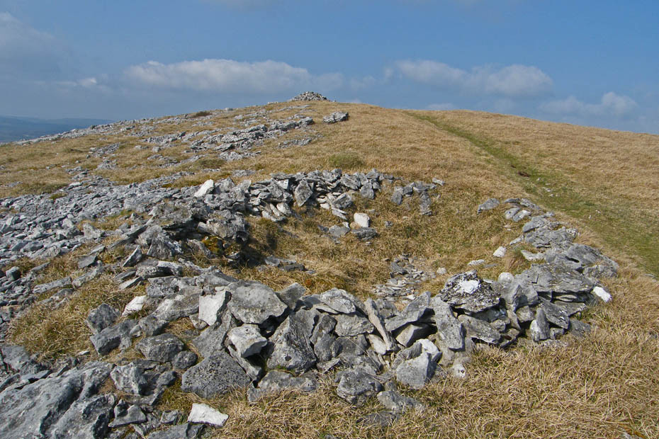
Leaving the summit I passed this feature on the ground. I have read somewhere what it is thought to be but unfortunately can't find the info.
Looking up to Farleton Crag the highest point. I had come down from a stile on the far left of the picture.
I could have decended a number of ways, the area is littered with paths but I headed first east then south on this wide grassy track
A look back and there are two people on the Knott. This is, apart from the farms as close as I came to anybody all the walk
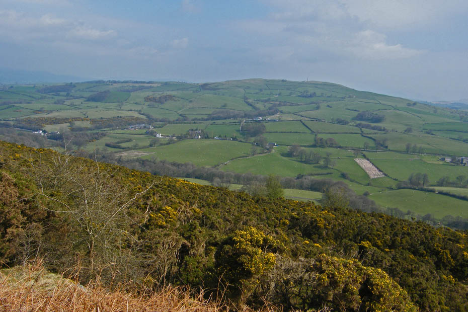
Looking across to Scout Hill
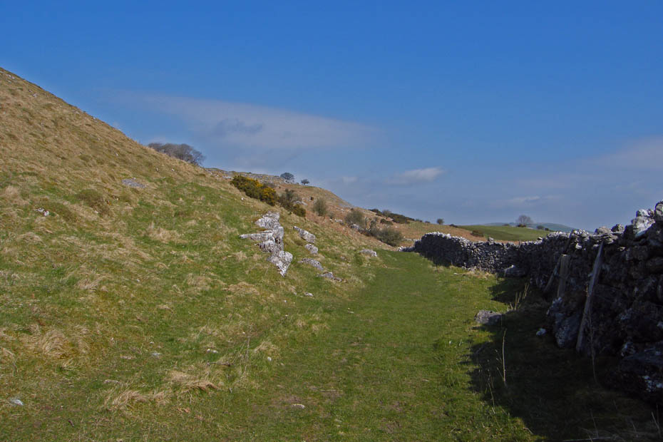
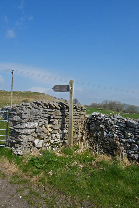
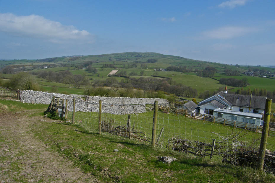
The path eventually return me to where the Limestone Link crosses the Clawthorpe to Hutton Roof road. A short walk to the left along it took me to my next path down to Whin Yeats.
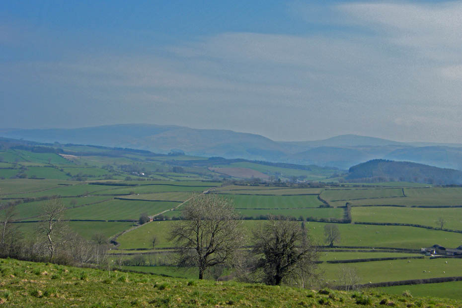
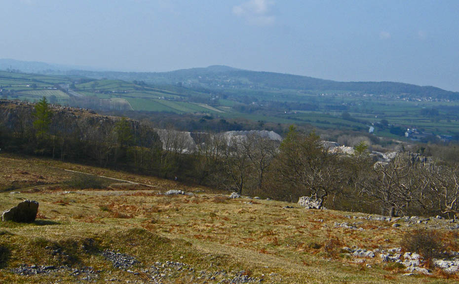
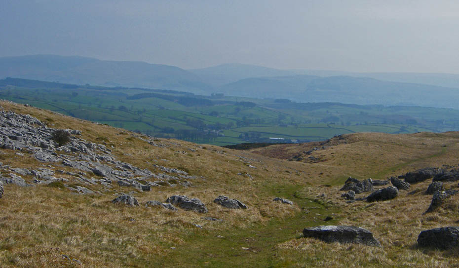
This is about as good as the views got. To the left is Middleton Fell with Gragareth in the distance.
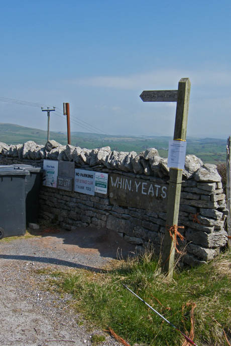
Approaching Whin Yeats. After walking through the farmyard look out for a waymarker on the left.
Make sure you leave the path to turn right here or you'll be paying the top a second visit!!
The path will take you down to Town End farm....
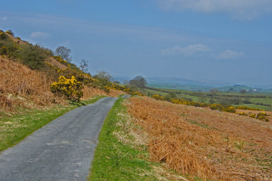
from where there is a section of lane walking along the gloriously named Puddlemire Lane.
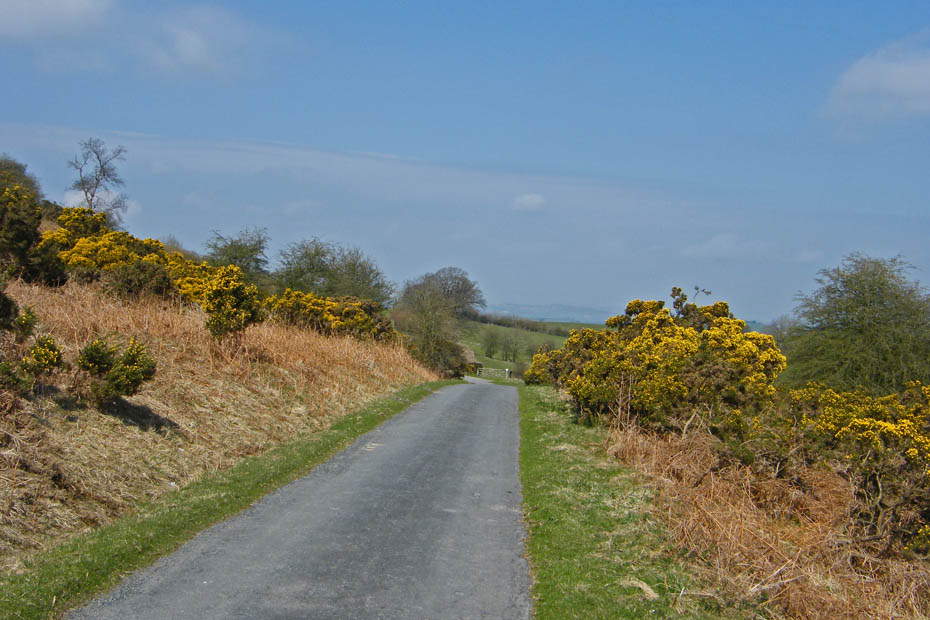
I have walked this lane a few times over the years and have yet to be passed by a car.
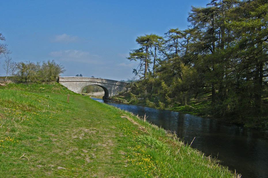
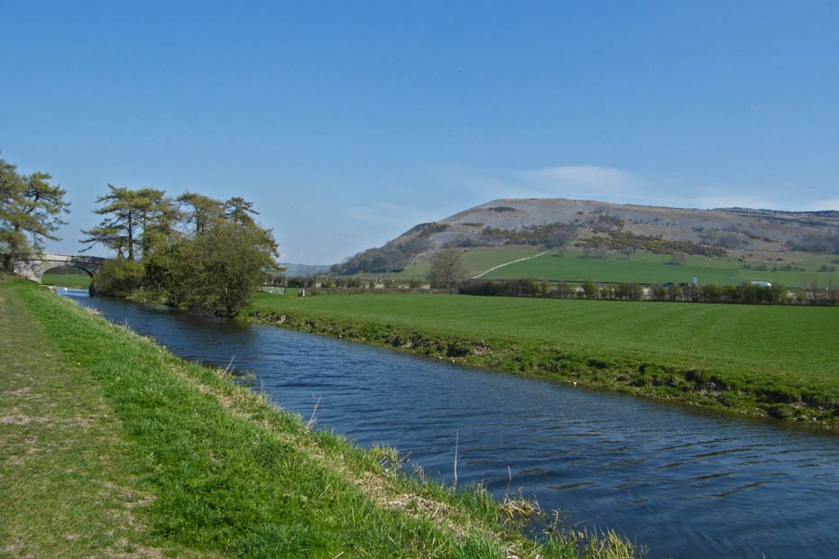
The lane eventually took me to the canal for my return to the car.
Make sure when you get to this bridge to leave the canal otherwise you'll have to walk back to here
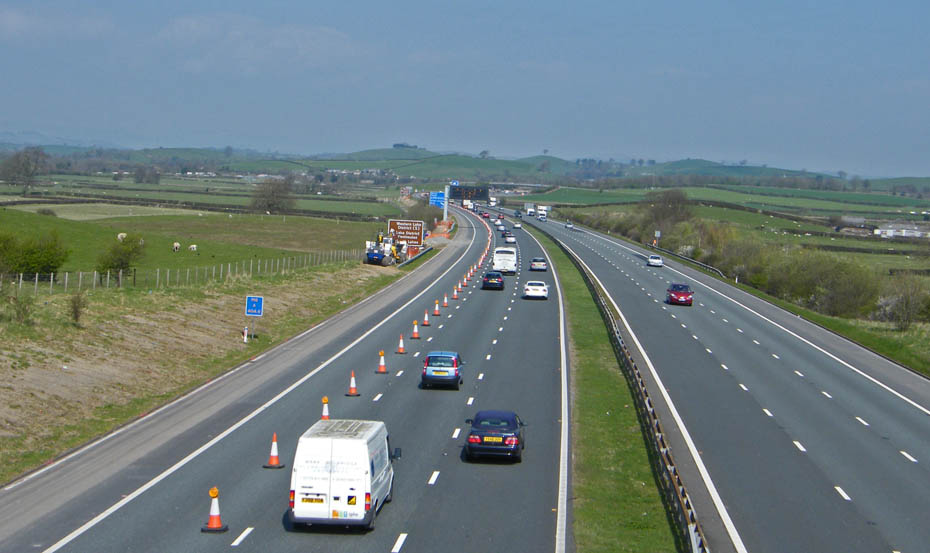
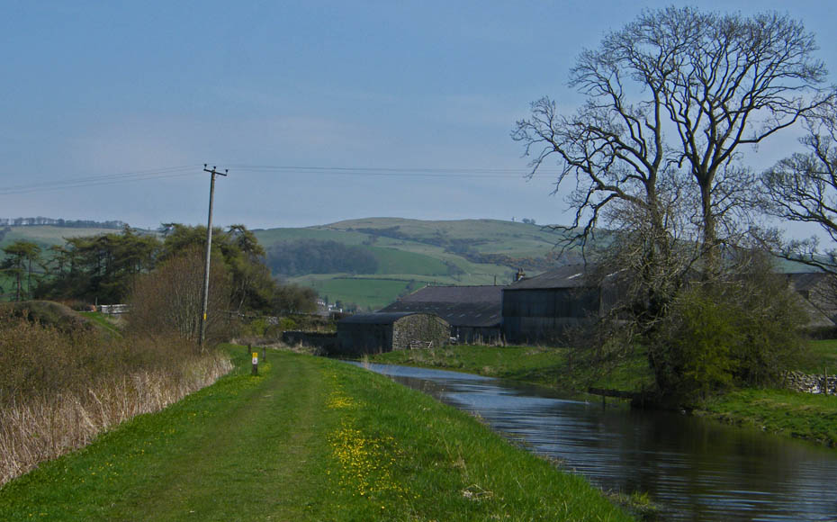
Walk up the road to cross the M6 then take the field paths alongside the motorway for a short while to....
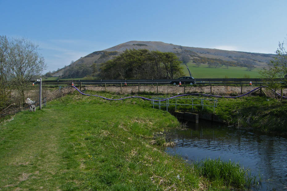
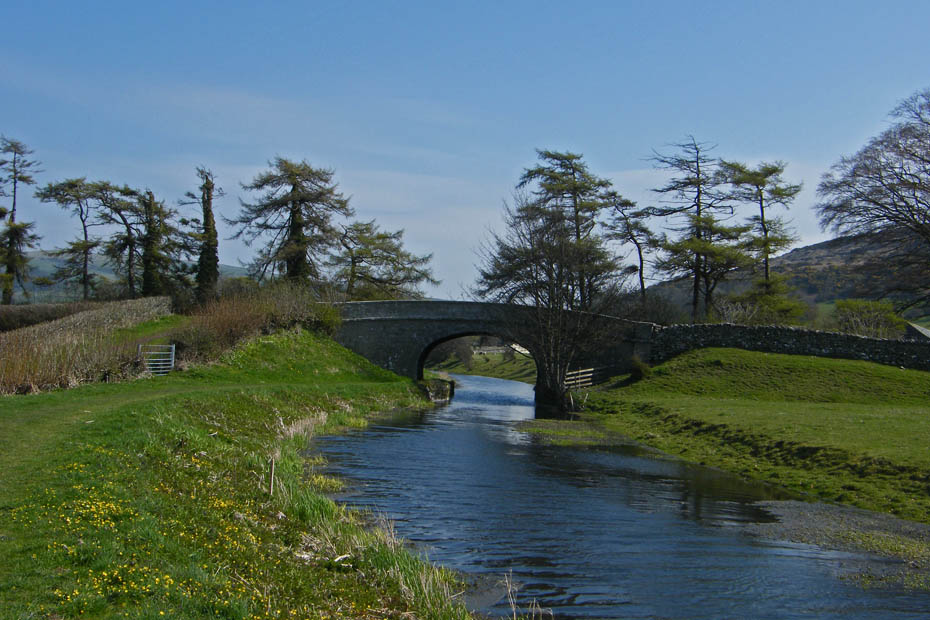
....rejoin the canal at the other side.
Then a short walk will soon have you back at the car.
Next Walk: 21st April 2010 - Lake District - Gummer's How
Last Walk: 16th April 2010 - Lakes District - Beacon Fell and Tarn
Do you have a Facebook or Twitter account. We post regular updates on both. Just click on either of the links below.
![]()

We hope you have enjoyed viewing this walk. If you have any comments please sign our Guestbook or E_Mail us.
