
| Area: | South Cumbria | Ascent: | 770feet |
| Walk No: | 408 | Time: | 3hours |
| Date: | 19th June 2010 | Parking: | Top of Grange - Cartmel road |
| Distance: | 5.50miles | Weather: | Fine with some sun. Breezy |
| Route: |
For those of you that are thinking of going onto the hills I would strongly recommend that you read the advice given by the Mountain Rescue organisation of England and Wales. To read this advice, which will open in a new page please click HERE. If you would like to make a donation to the Mountain Rescue organisation which is purely voluntary please click HERE. Please make the time to read the advice page.
I was by myself today as Edith wanted to do some catching up in the garden. I was away early as I wanted to be back home for noon. Having parked up on the Grange to Cartmel road near the lane to Spring Bank I made my way over Fell End to the Hospice on Hampsfell. From there I headed northwards to pick from the track down to Longlands and thence to Cartmel. After a look around the village I made my way back to the car first along the road and then over Fell End.
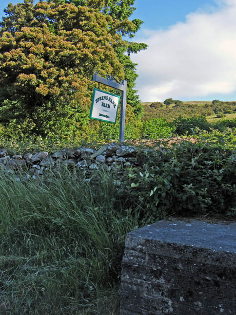
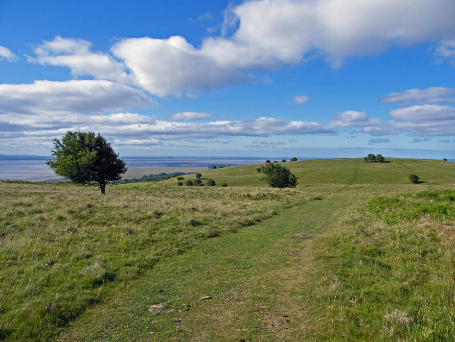
Having left the car at the roadside near the lane to Spring Bank I walked up the lane a few yards to gain access to the fell on the left.
A look back as I climb. It was very clear down the bay, Blackpool Tower was easily visible. On this picture it is just over half an inch to the white blotch around the centre on the horizon. The white blotch itself is a P & O RORO ferry at Fleetwood.
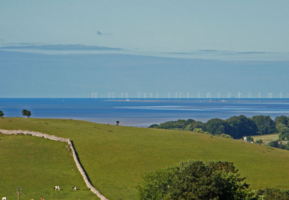
The Morecambe Bay windfarm was clearly visible seen over Walney Island.
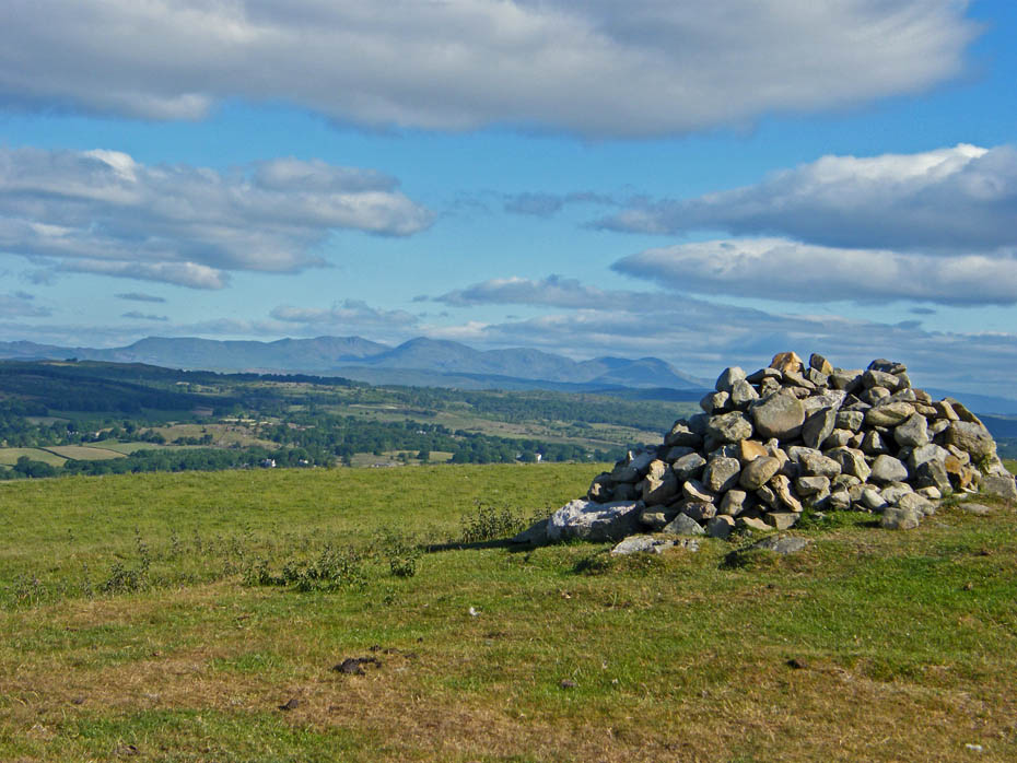
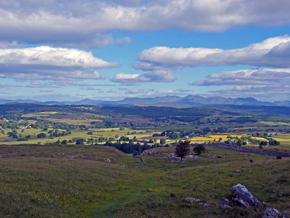
The cairn on Fell End with the Coniston fells behind.
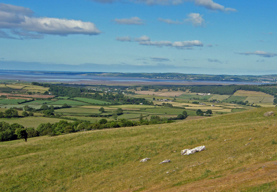
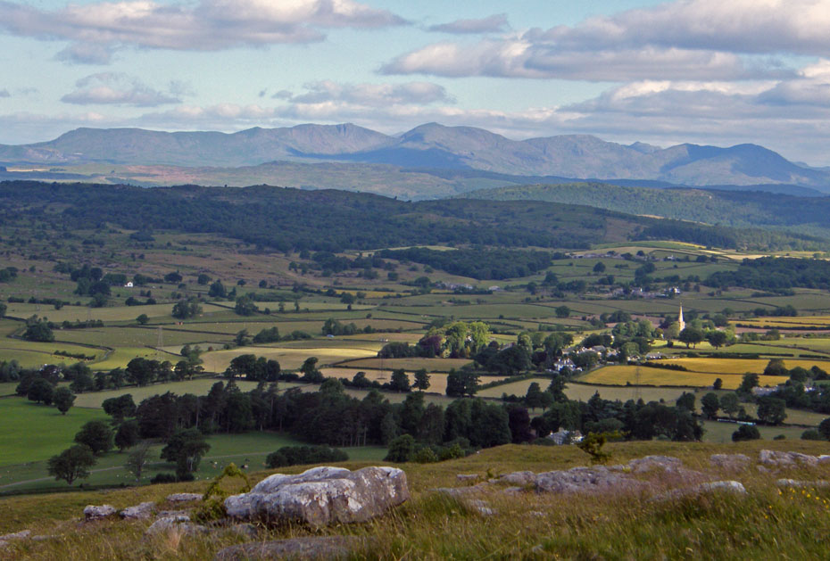
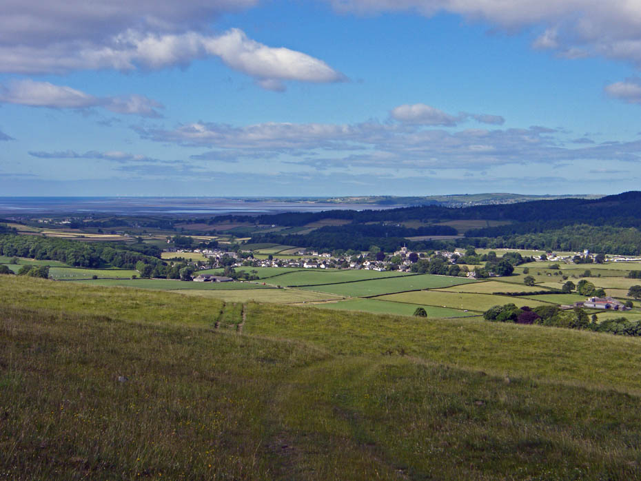
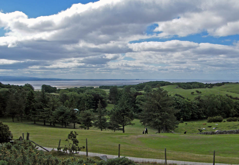
Looking down on Cartmel from Fell End.
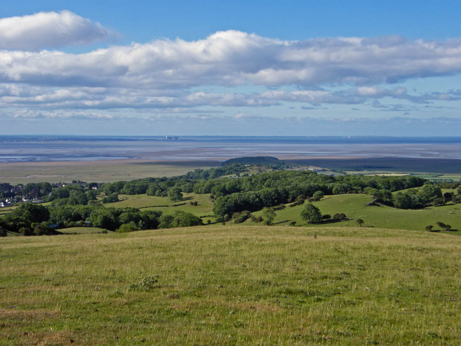
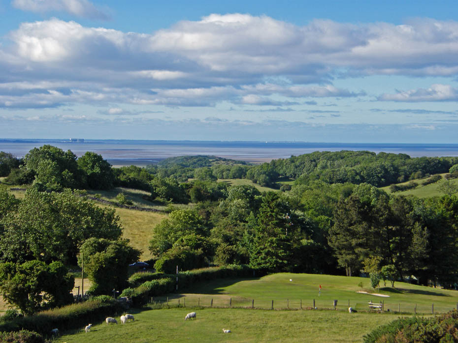
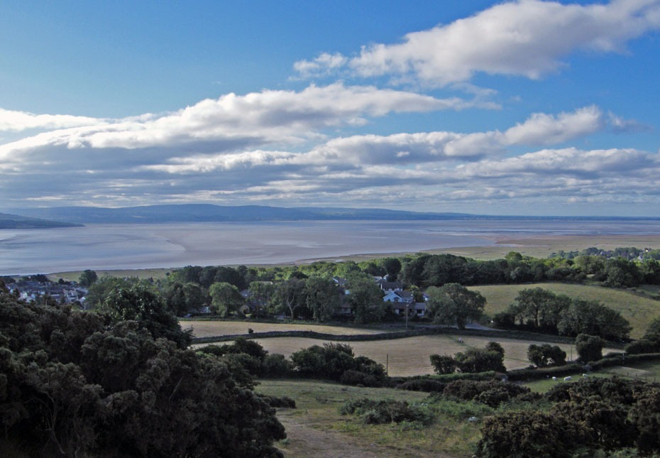
Looking down on Humphrey Head with the power stations at Heysham to the left.
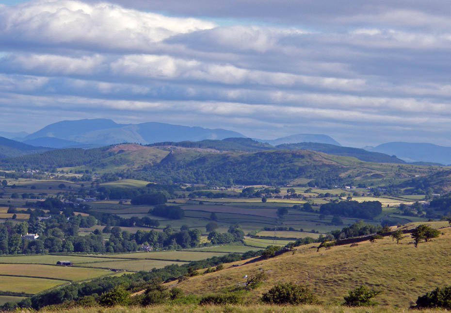
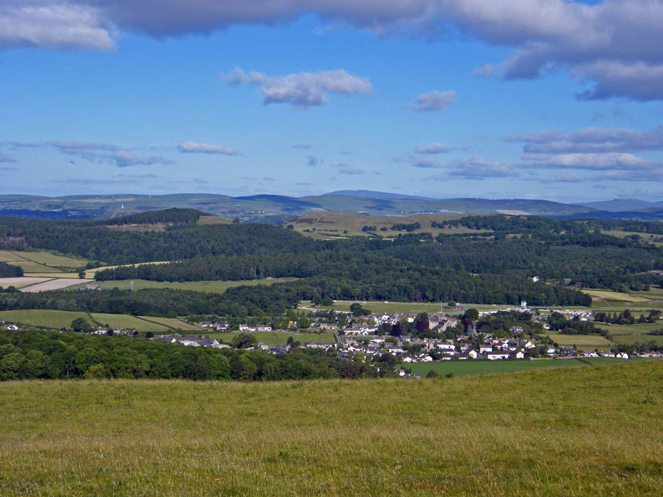
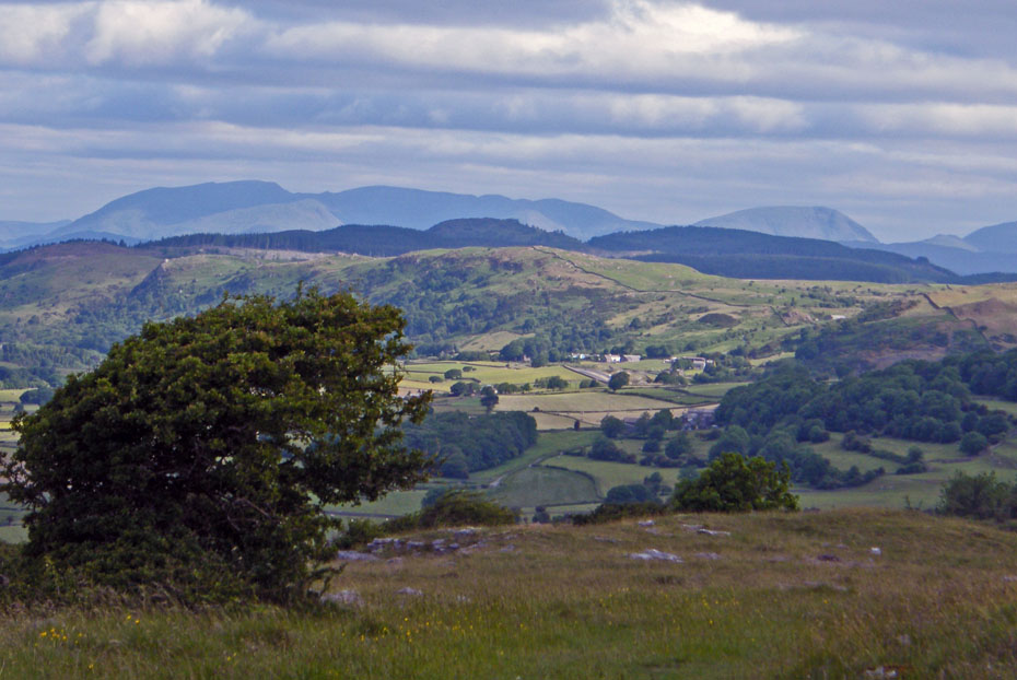
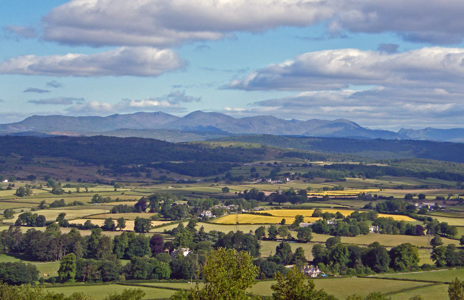
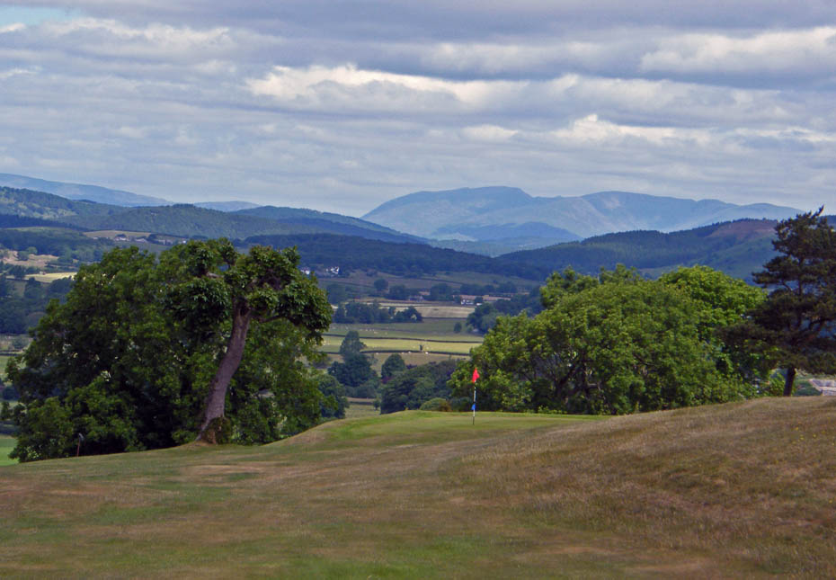
Eastern and Far Eastern fells over Newton Fell
My way ahead
Looking back
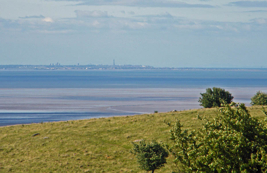
Blackpool Tower on 18x zoom
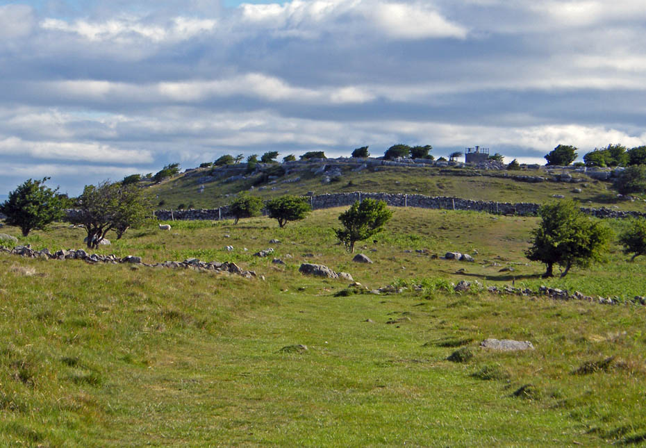
The summit hospice ahead
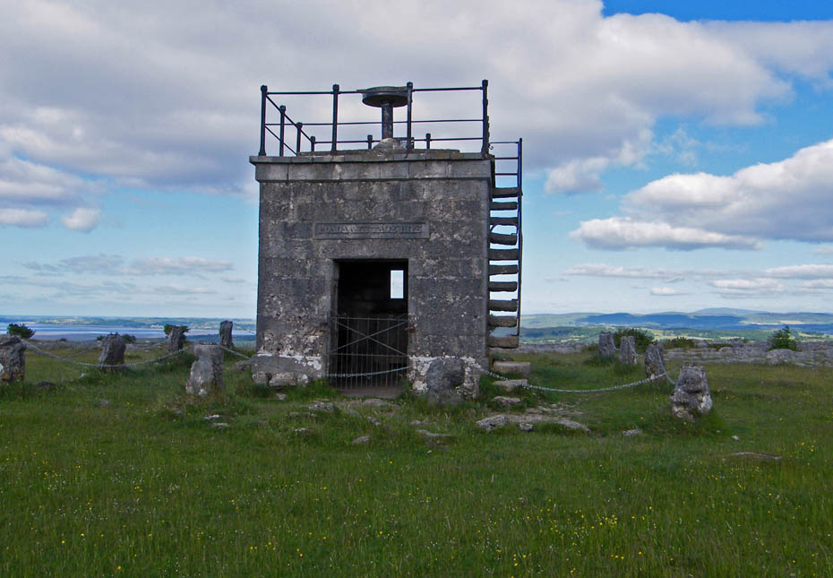
Hampsfell Hospice
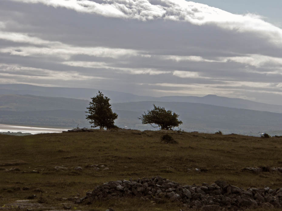
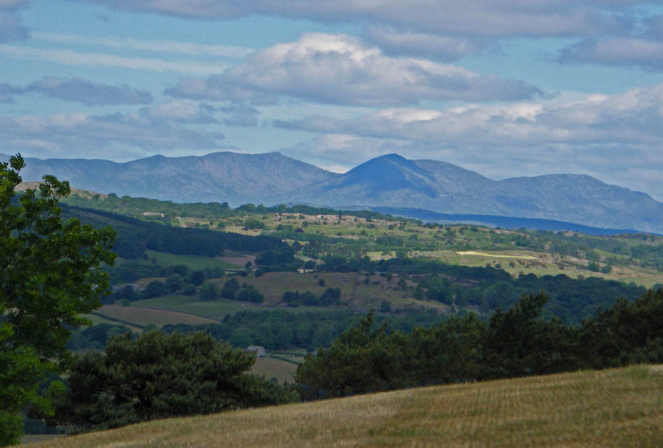
Eastwards to a murky Ingleborough
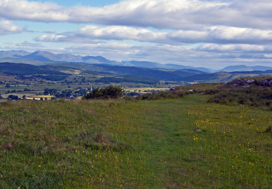
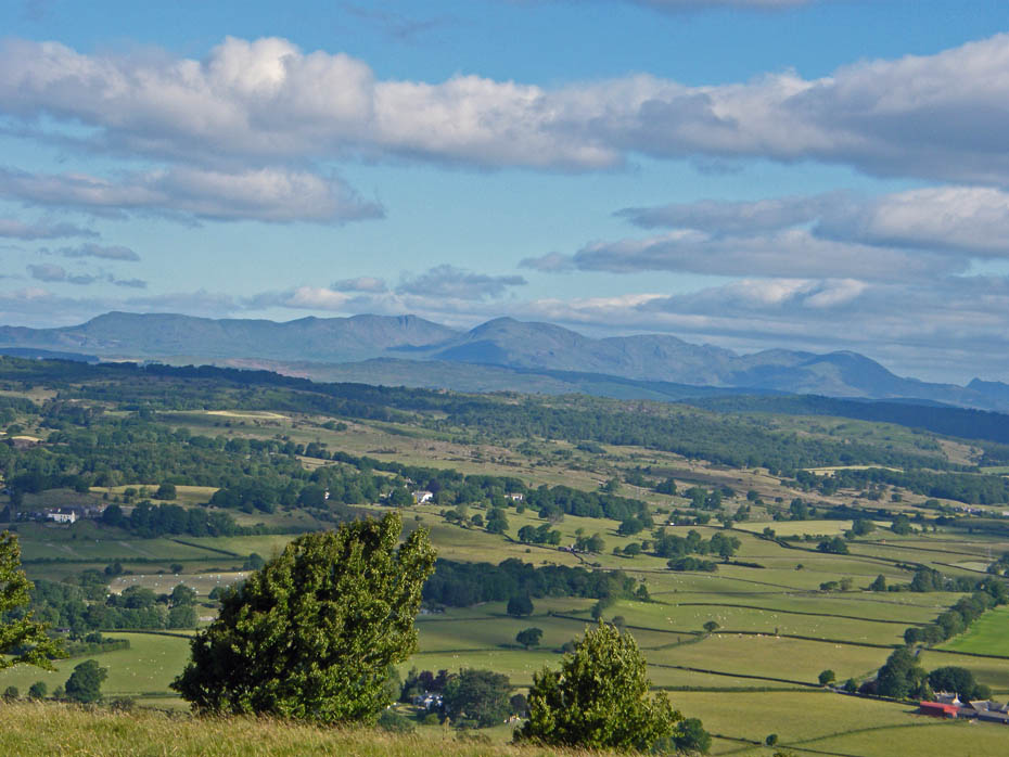
From the hospice I headed N'wards with views of Lakeland ahead.
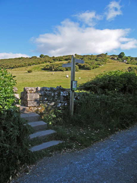
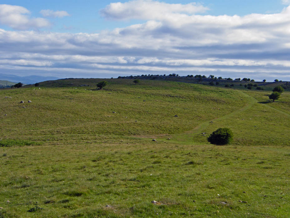
My route eventually meets a path crossing the fell along with a wall. Here I turn left.
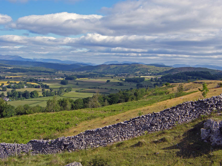
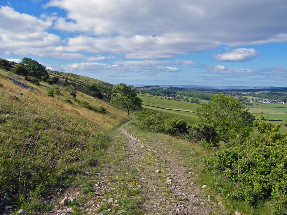
The path follows the wall down at first before swinging left towards Cartmel.
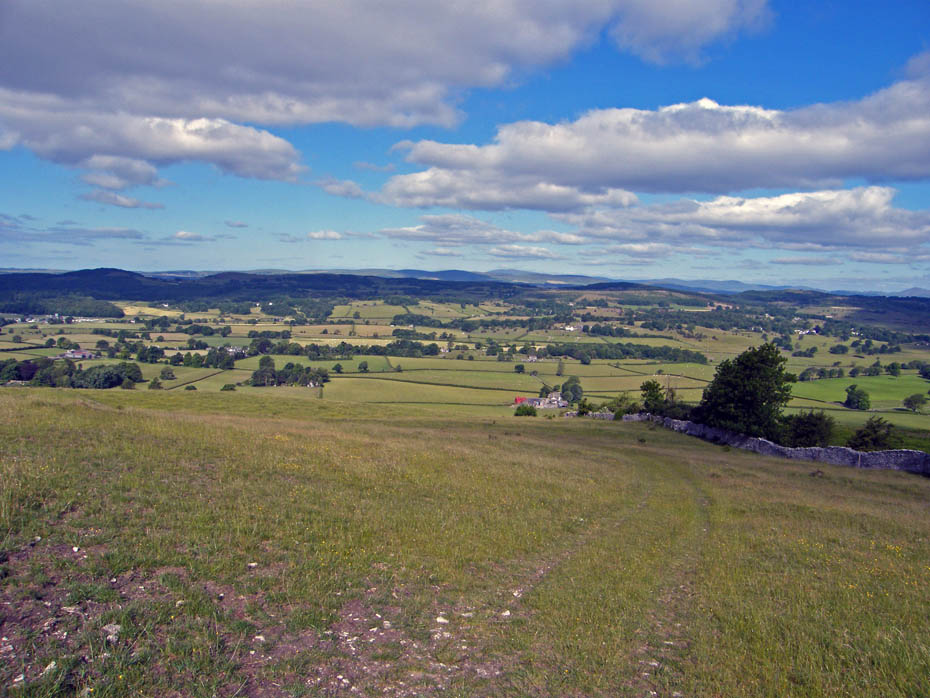
A gentle descent, kind on knees.
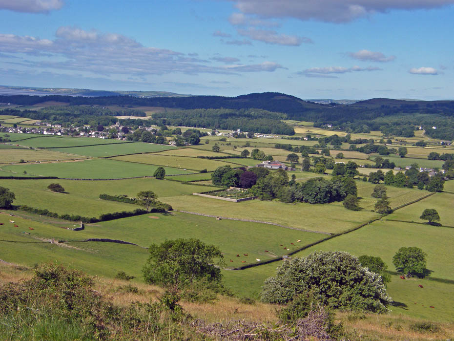
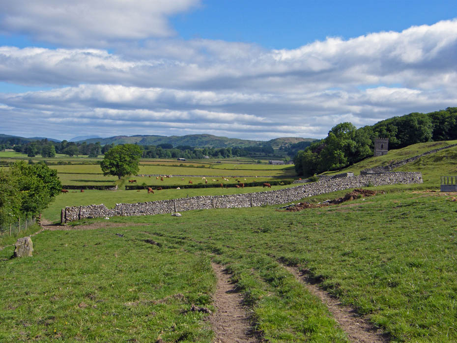
My route will eventually take me to the right of the walled garden at Longlands seen in centre picture.
No problems with route finding here. Just follow the track until....
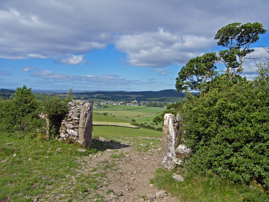
.....it passes through this gateway. The path then goes left before turning right to pass through ....
....the gateway ahead, where it turns left towards Longlands.
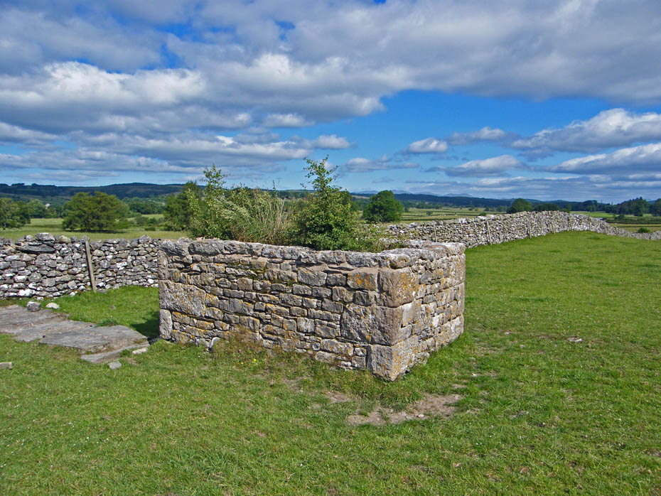
This is marked on the map as a well. The top is filled with growth but there is a small doorway in the other side.
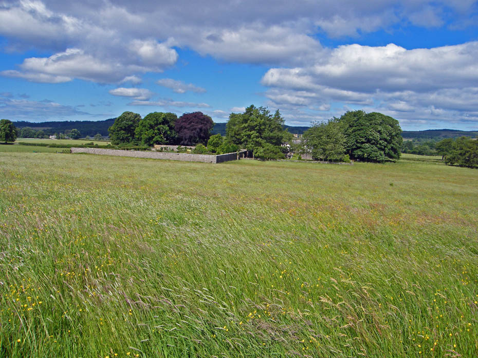
Approaching Longlands
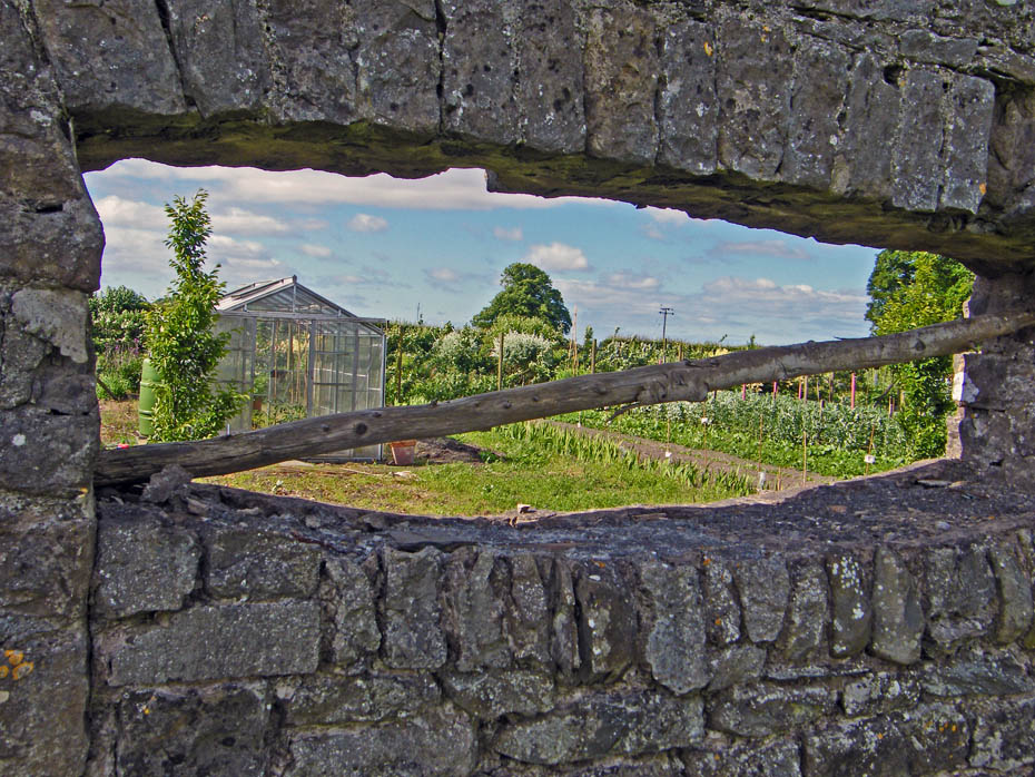
A peek through the wall of the garden at Longlands
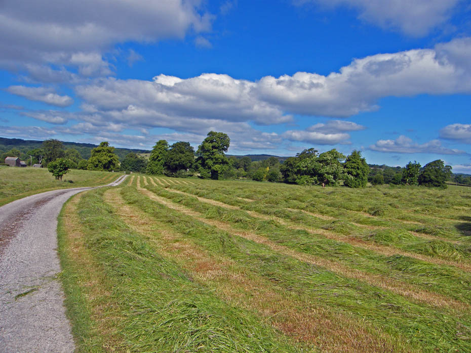
The wonderful smell of freshly cut grass.
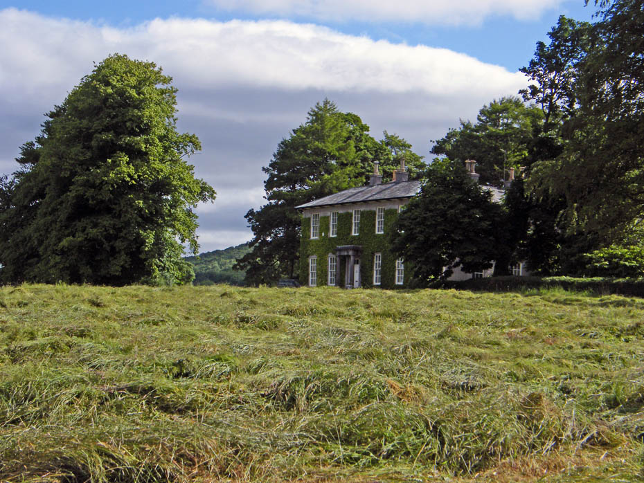
Longlands
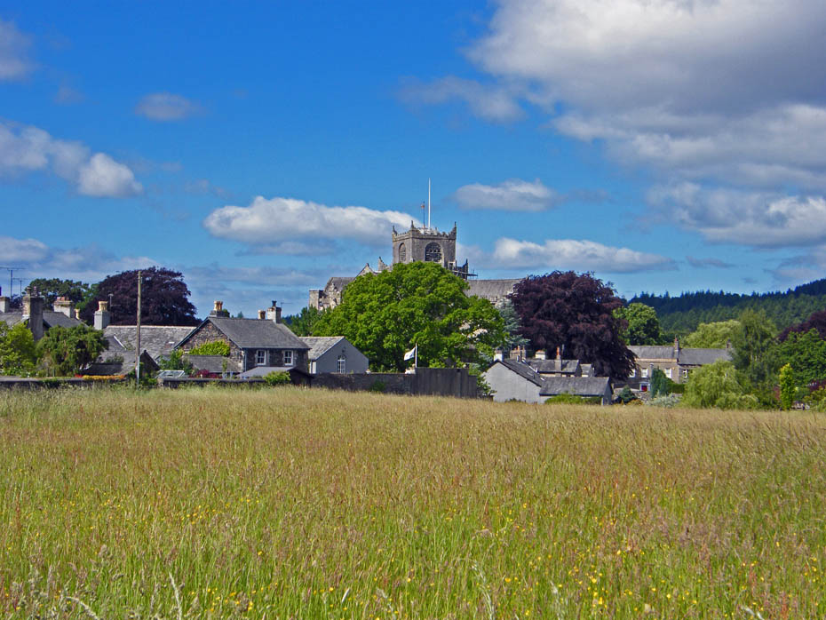
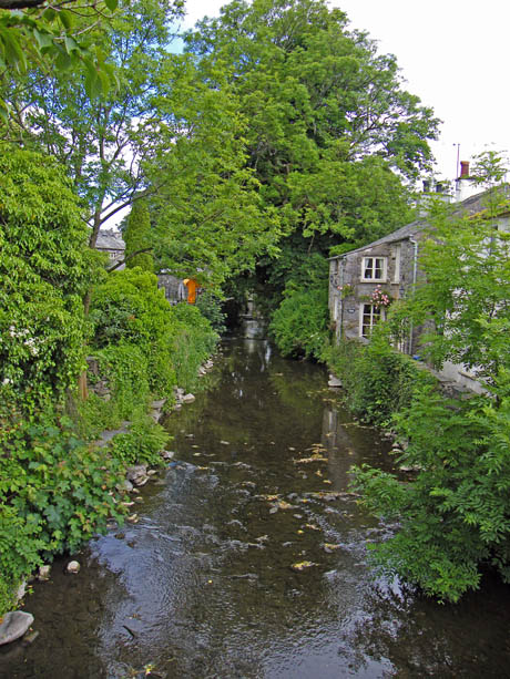
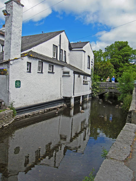
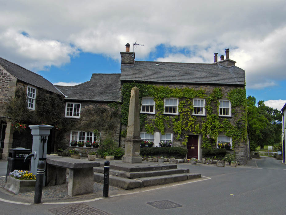
From Longlands it was a short walk along the road to Cartmel
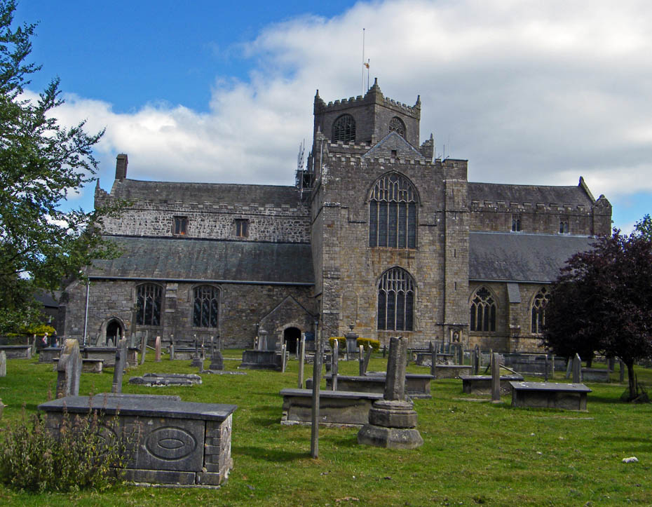
Cartmel Priory
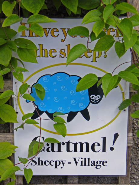
There is a competition to find all the sheep...
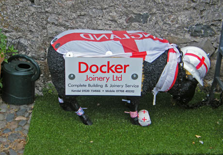
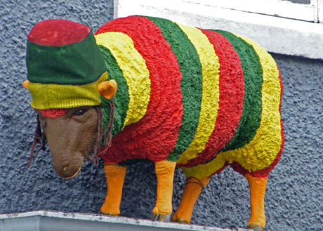
Here's a couple but there are plenty more.
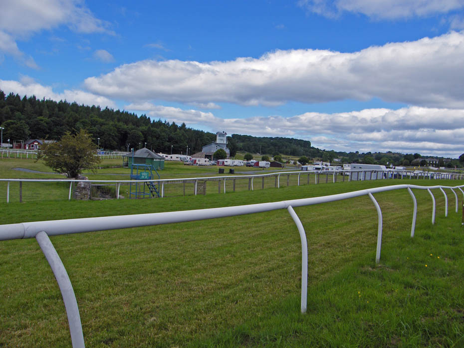
Cartmel Racecourse.....a grand day out but the traffic is usually chaos.
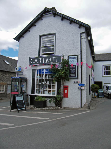
Cartmel.....Home to the famous Sticky Toffee Pudding.
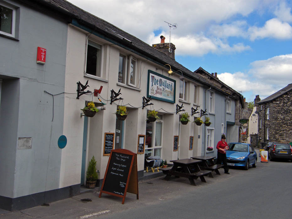
I was hoping to visit but I had left my wallet in my other trousers at home!
From Cartmel I walked up the Grange road a short way before taking a path on the left which crosses the golf course.
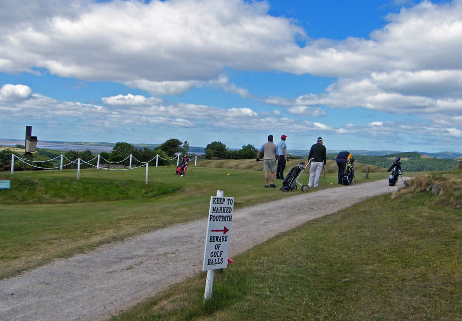
You've been warned
After leaving the golf course the path leads back to the wall stile where I started.
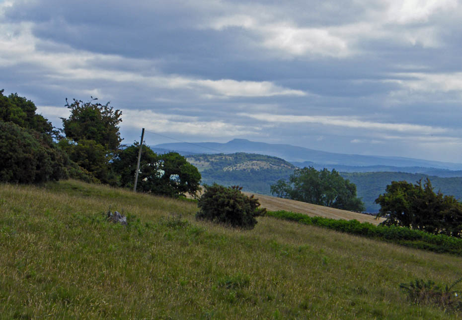
And finally.....nearly back with a view of a distant Ingleborough.
Next Walk: 20th June 2010 - Lake District - Coniston Water & Torver Back Common
Last Walk: 17th June 2010 - Lake District - Alcock Tarn from Grasmere
Do you have a Facebook or Twitter account. We post regular updates on both. Just click on either of the links below.
![]()

We hope you have enjoyed viewing this walk. If you have any comments please sign our Guestbook or E_Mail us.
