
| Area: | South Cumbria | Ascent: | 625feet |
| Walk No: | 483 | Time: | 2hours 40minutes |
| Date: | 19th January 2011 | Parking: | Beetham Corn Mill |
| Distance: | 4.75miles | Weather: | Fine with some sun, very misty at times. |
| Route: |
For those of you that are thinking of going onto the hills I would strongly recommend that you read the advice given by the Mountain Rescue organisation of England and Wales. To read this advice, which will open in a new page please click HERE. If you would like to make a donation to the Mountain Rescue organisation which is purely voluntary please click HERE. Please make the time to read the advice page.
A day thankfully free of appointments although Edith was at her brothers for the day and I wanted to be back for shortly after 1pm to meet up with an old friend.. This left me free for a bit of a walk, but where to go. As I drove along the promenade at Morecambe views across the bay were non-existent for the fog which as been a feature of the weather of late. I decided to go to Beetham for a walk across Dallam Park and back over Haverbrack. A day of mixed weather, bright sunshine one moment, swirling mist the next but always pleasant.
Route Map
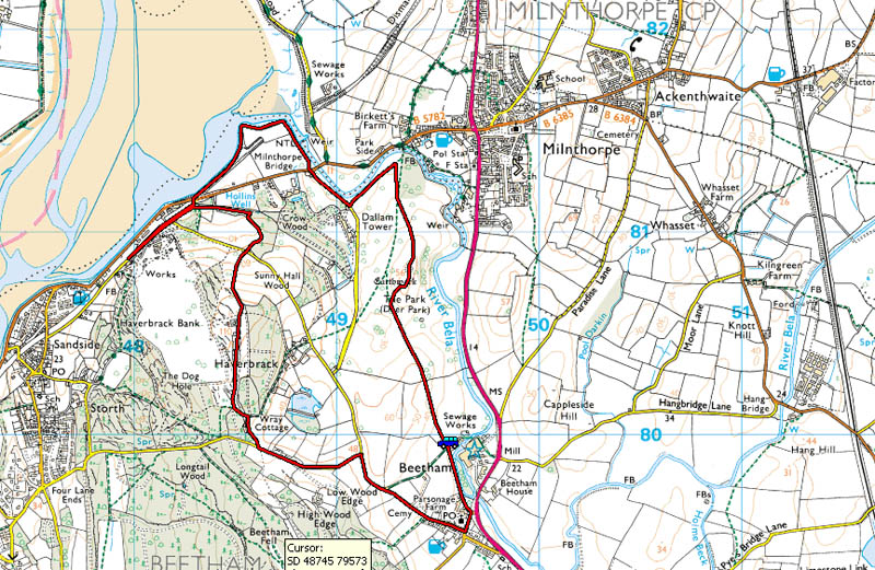
I usually leave the car in a lay-by just south of Beetham on the A6 for this walk. Today however with a complete disregard for personal finance I parked at the Heron Corn Mill. It's only a £1.00 and if you visit the mill or museum it's nowt! If your in the area anyway with little to do on a wet day you may find a visit interesting.
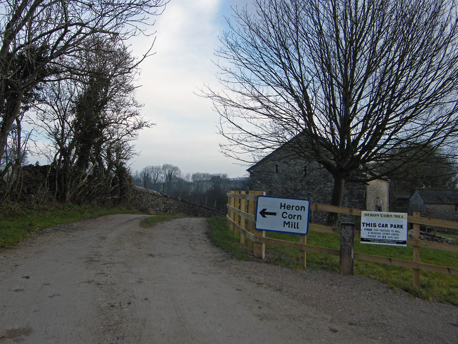
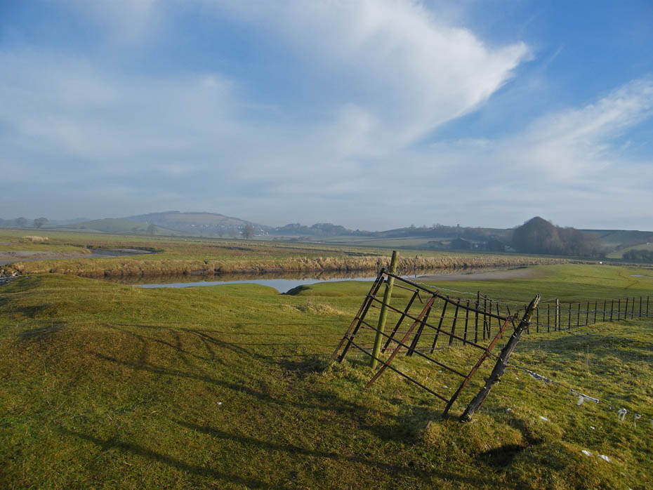
From the car park take the path by a gate upwards past the sheep with colourful bottoms. There's not much else colour at the moment. By the way, just to bore you a little more after puffing my way to the top of the climb I had to return to the car having forgotten my walking my walking pole. This never happens when Edith is around as she looks after me.
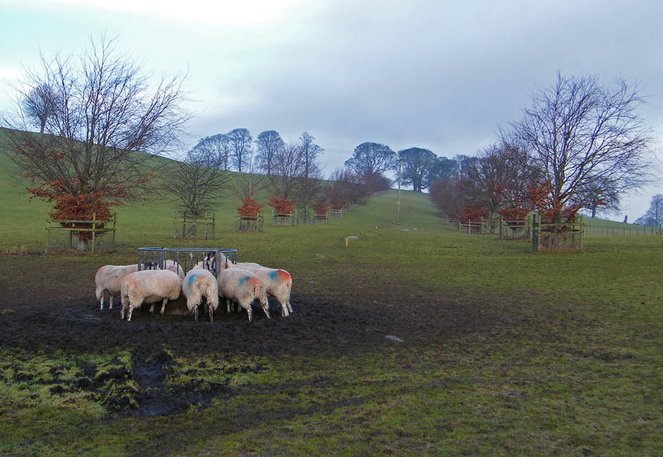
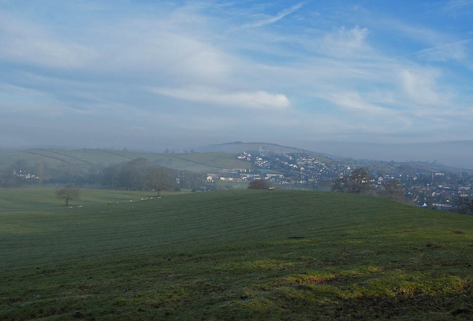
Anyway, here I am at the top of the first short climb and about to enter Dallam Park and the views are rubbish with the mist. Fareleton Knott is barely visible across the way.
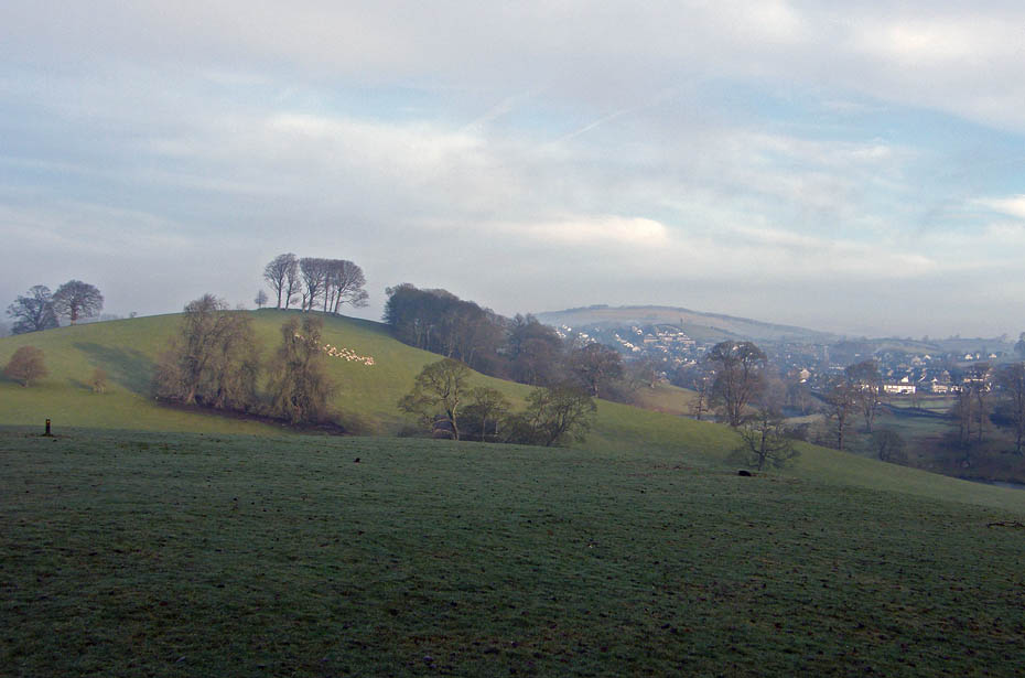
Looking ahead isn't a whole lot better. That's Milnthorpe to the right and there are some deer on the slopes of the rise up to the earthworks on the highest part of the park.
My plan was to set off to the left and climb the slope from the other side so as not to disturb them. The building on the right is the Deer House for the deer to shelter in.
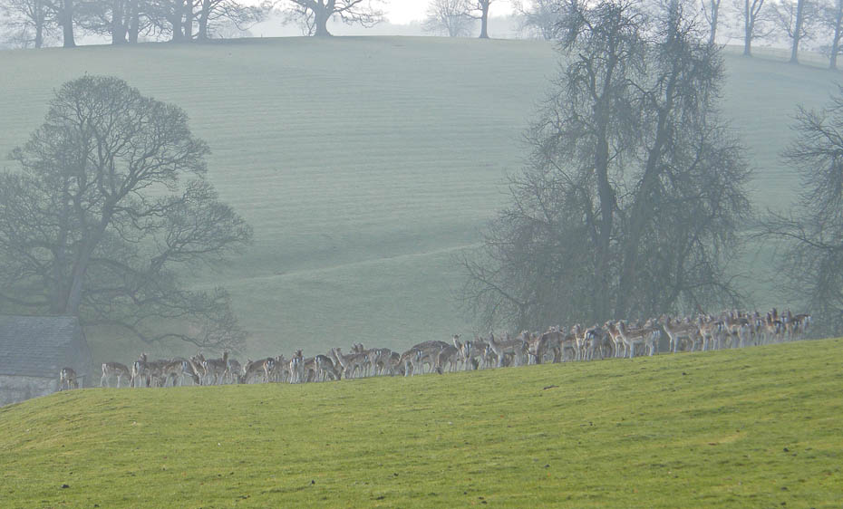
Well as the saying goes "win a few, lose a few" and today was a losing day. My plan worked in as much that I got to within 70 yards or so of them but I was taking the picture into the sun which had deciding to make an appearance plus another lot of mist moved in.
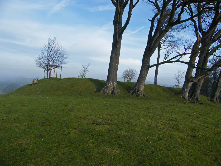
Known locally as Castle Hill this is the highest part of the park and the location of a building platform sometimes identified as a Motte and Bailey. Want to now a little more?.....take a peek HERE. Opens in a new window.
Looking towards Milnthorpe.
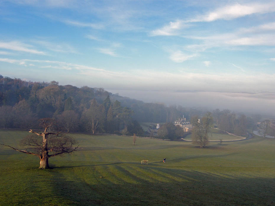
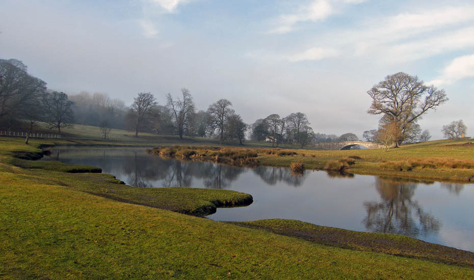
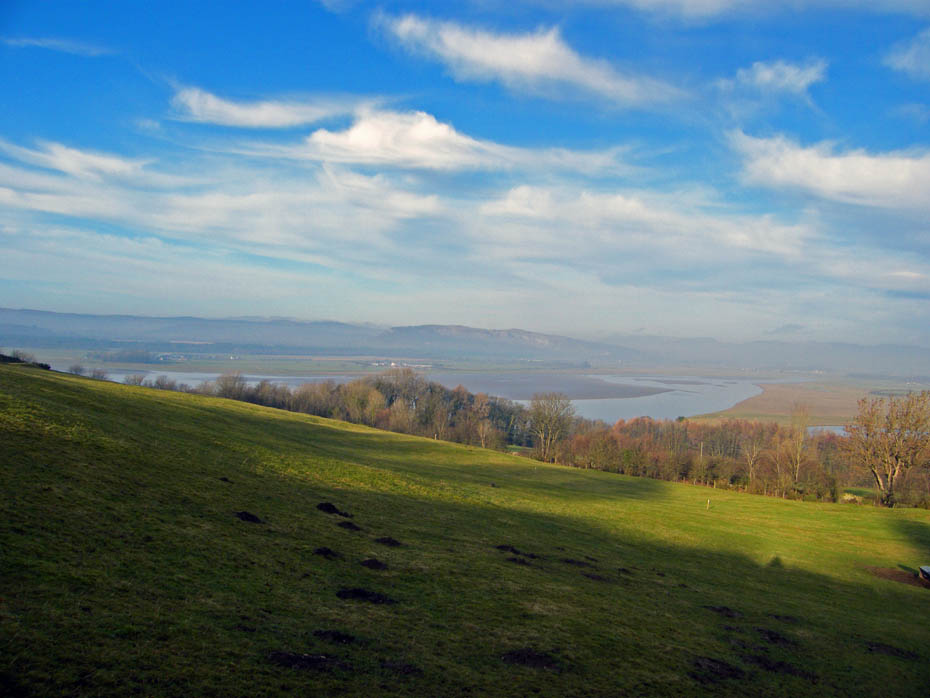
Looking down to Dallam Tower and there's a massive bank of mist over South Lakeland. You can just spot the tops of the Coniston fells above it over the the building.
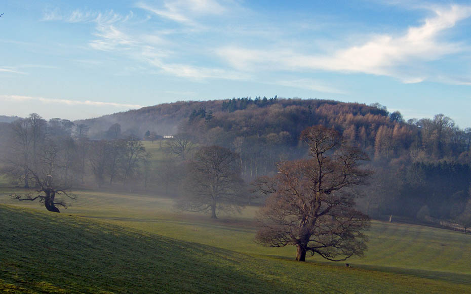
Looking over to Haverbrack which will be my return route.
Sunshine, mist and distant views. There will be some grand inversions in Lakeland today.
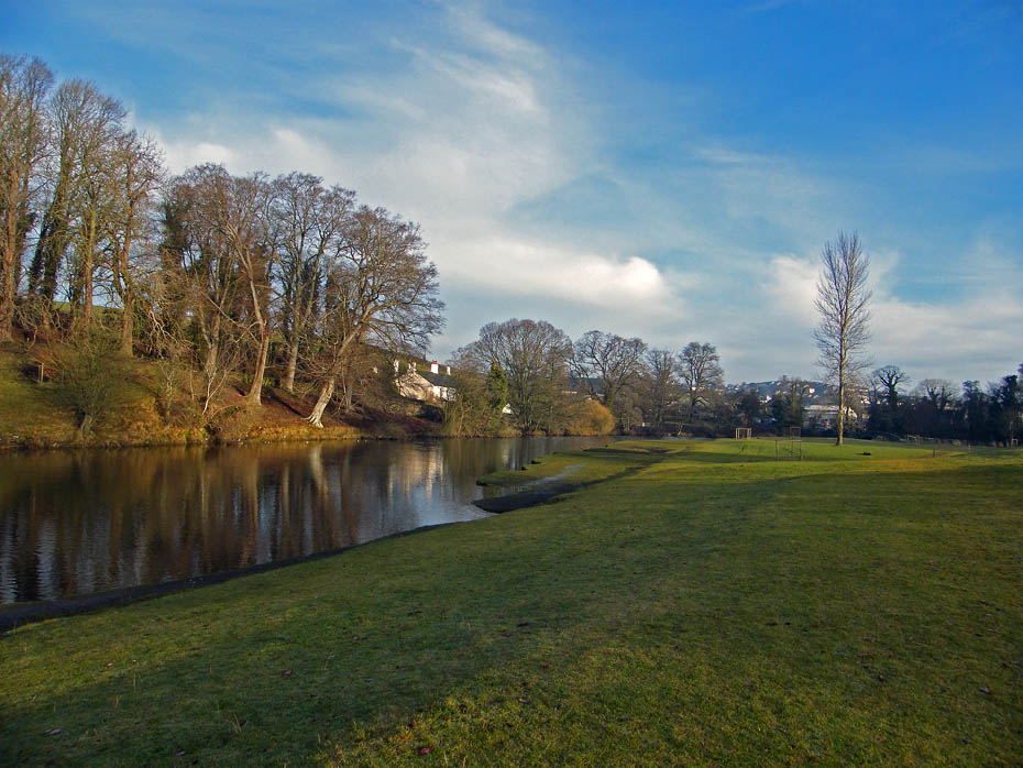
I descended to the River Bela near the footbridge into Milnthorpe. Here I would turn left to follow the river downstream.
Looking back.
And ahead
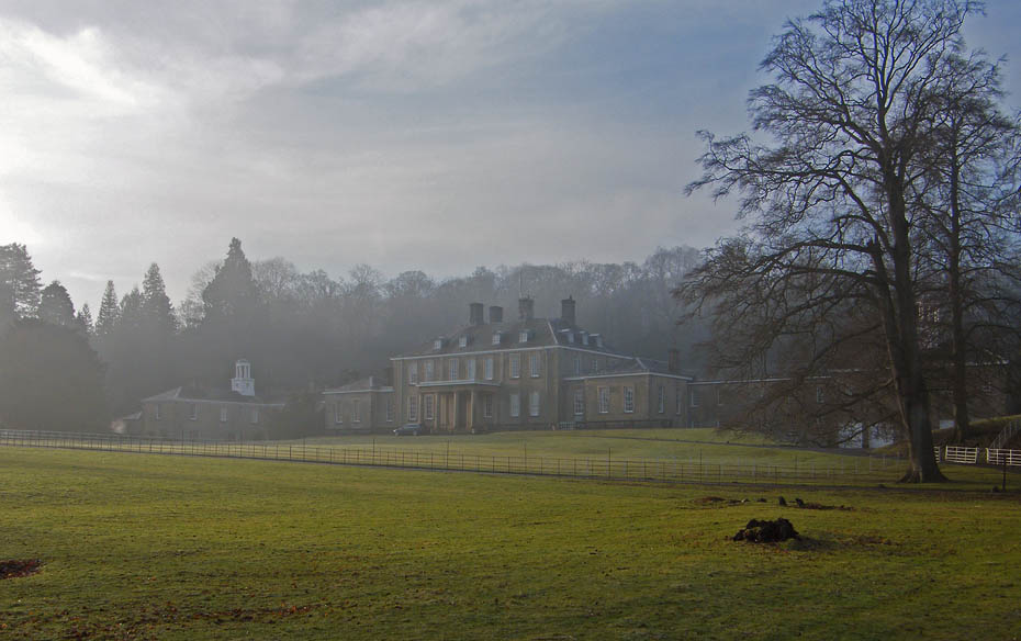
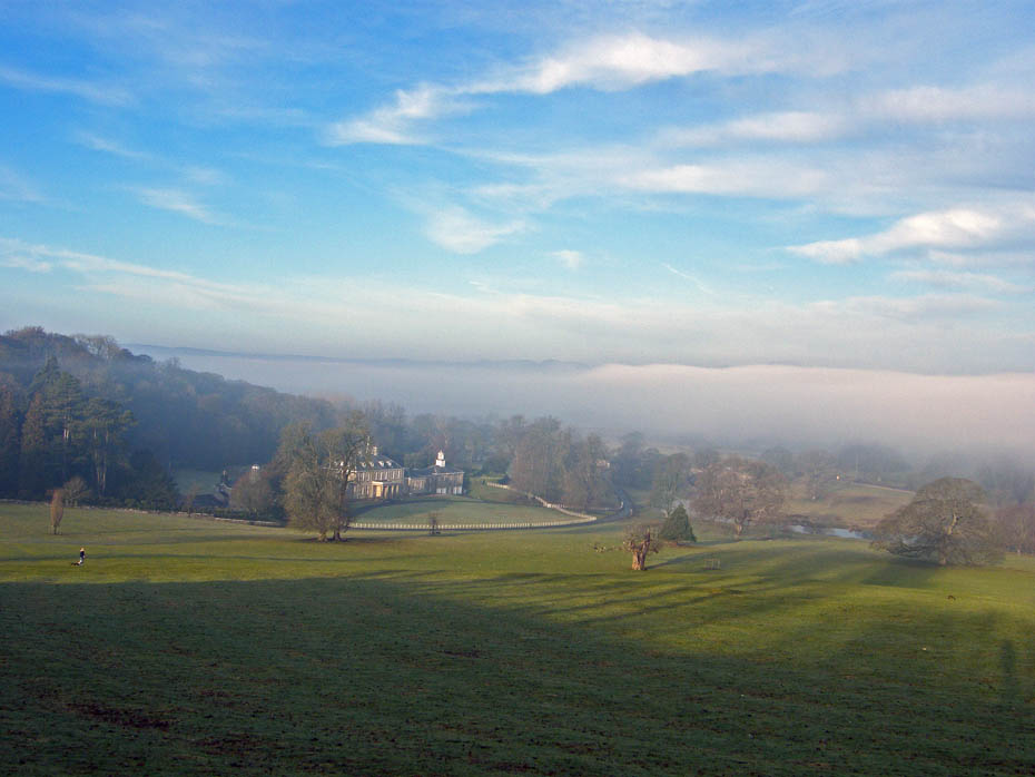
A misty Dallam Towers.
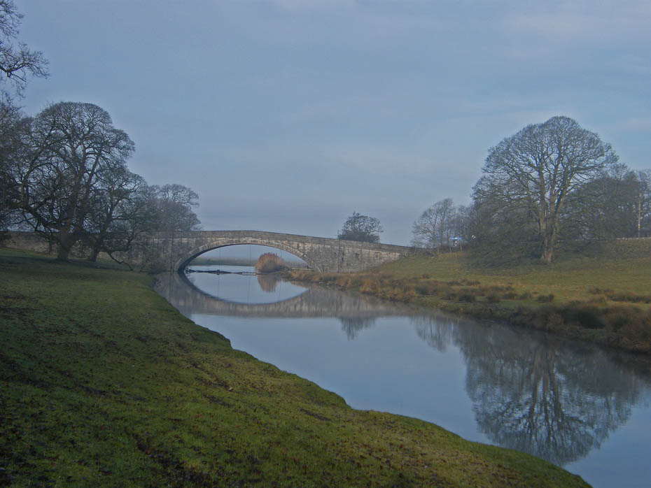
My path took me to Milnthorpe Bridge, shown here, where I crossed the Milnthorpe to Sandside road to access the riverbank on the other side.
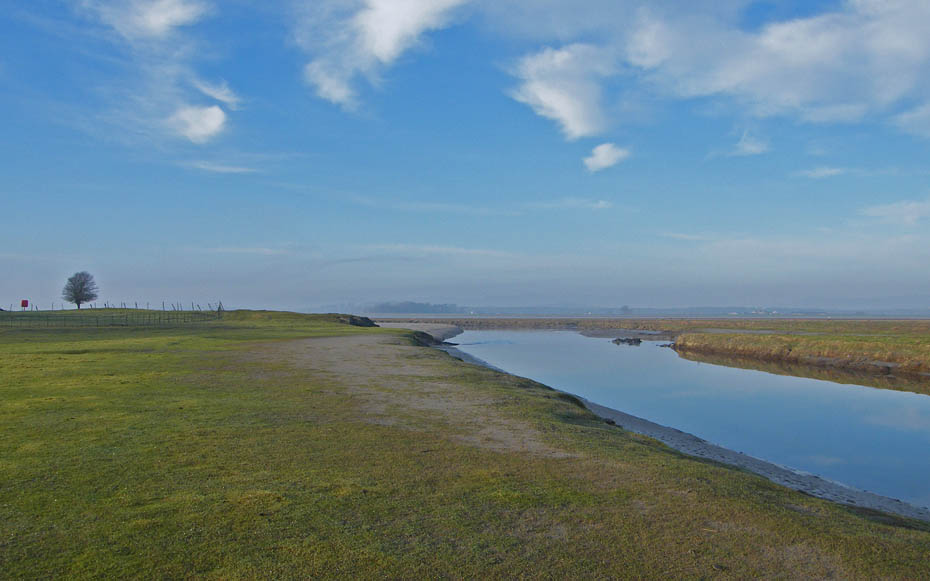
Views to distant hills are absent but it pleasant walking.
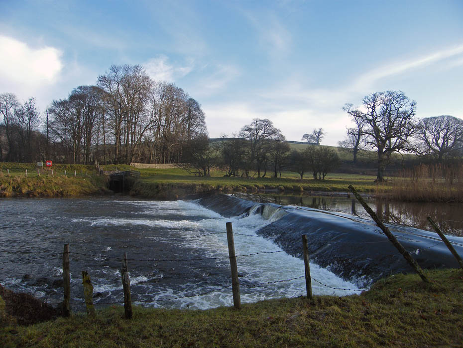
The weir on the River Bela.
It is hard to believe that prior to the Railway Viaduct being constructed at Arnside that sailing ships would come up the River Kent and Bela.
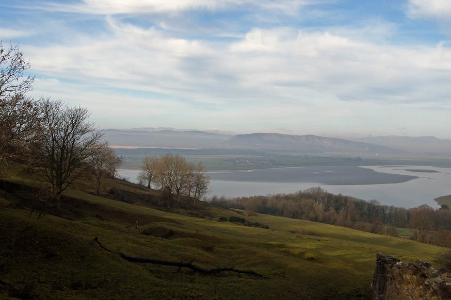
Looking back towards Heversham Head
Whitbarrow is barely visiible.
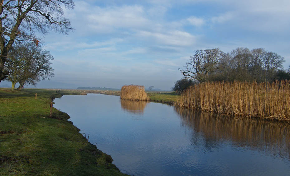
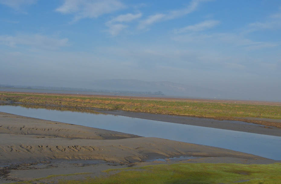
Southwards to Sandside.
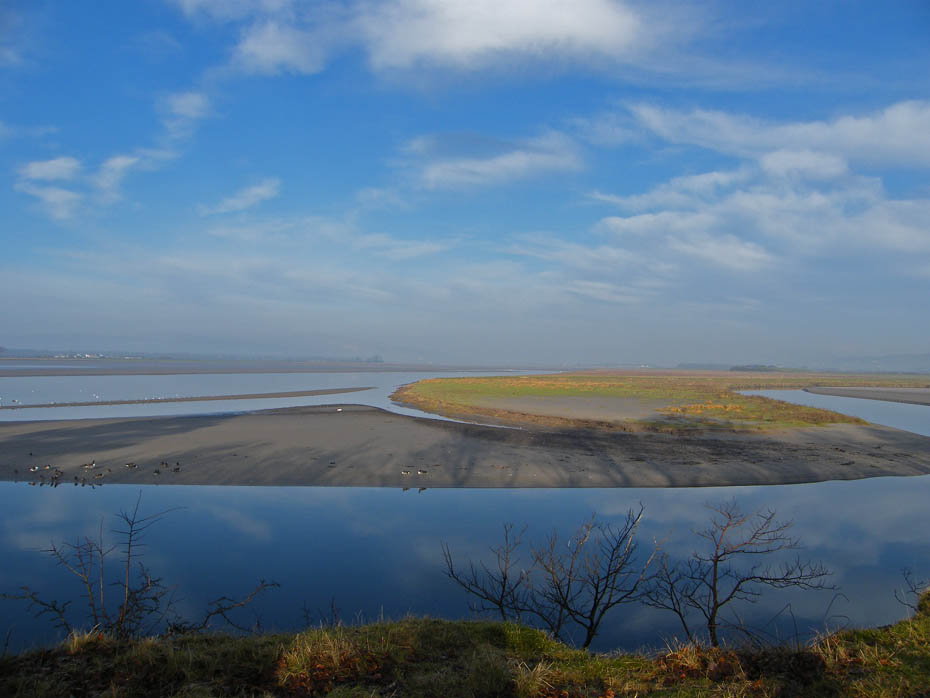
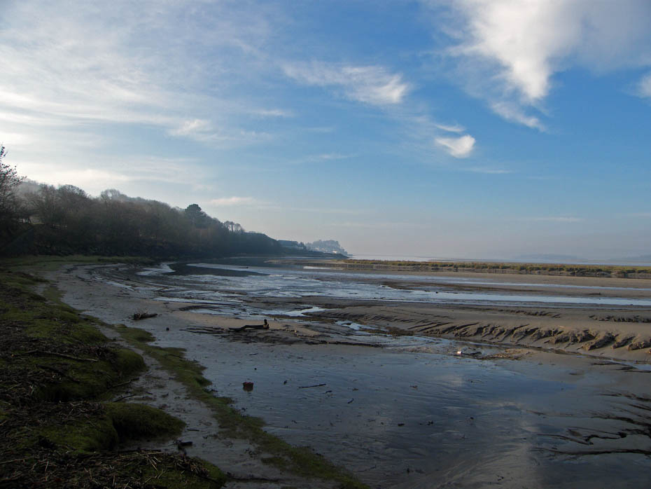
A tale of two rivers.....On the left the River Kent and on the right the River Bela. At this point I left the river to take the trackbed of the old railway line into Sandside.
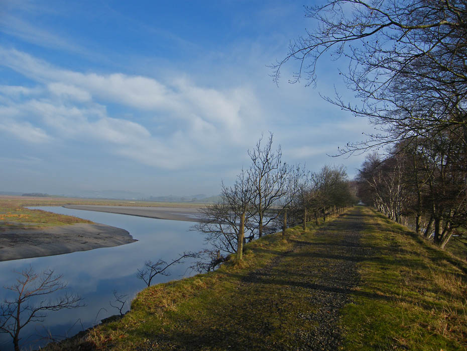
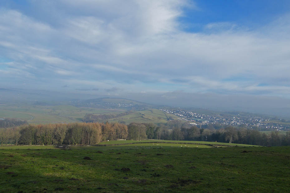
Looking back along the old railway line as I enter Sandside.....but why a railway line that goes nowhere?
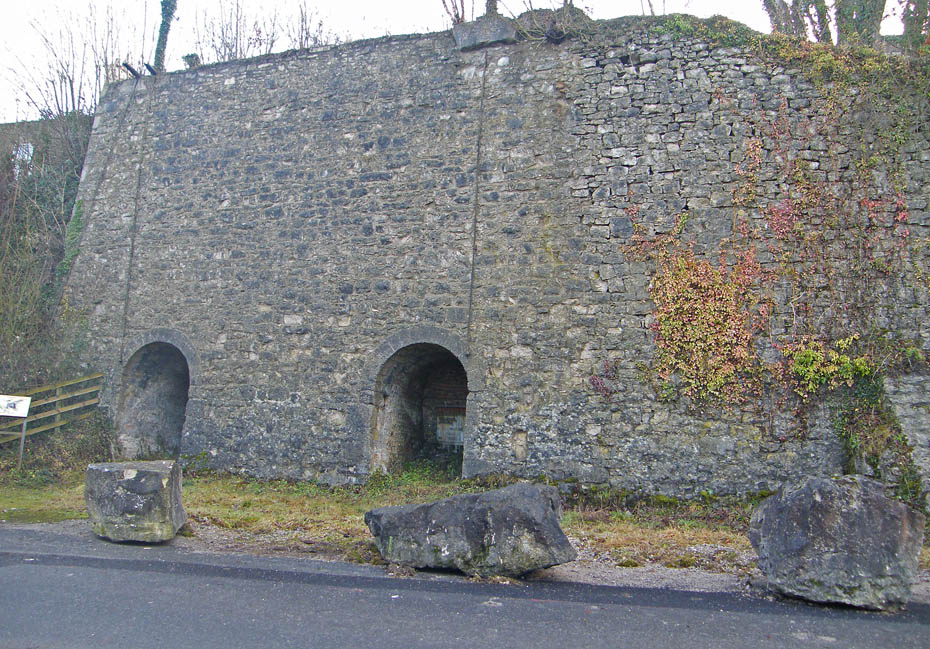
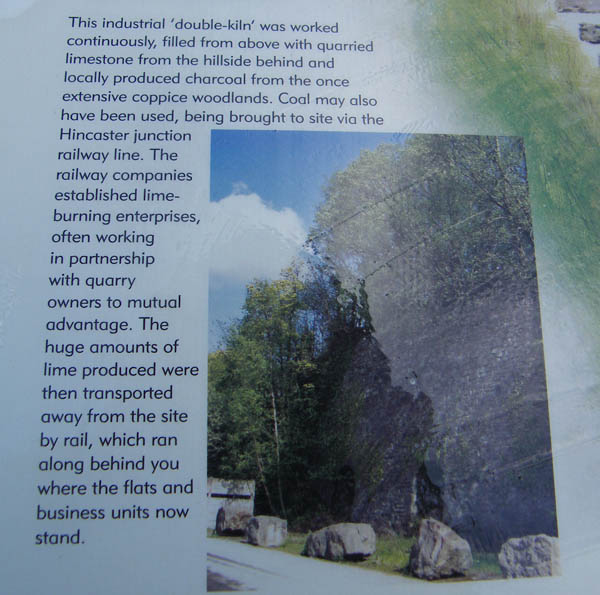
I have been walking in the Arnside & Silverdale AONB for more years than I care to remember and this is only about the 3rd time that I have visited these kilns because they are past where I normally turn off up Haverbrack. Today however it was time for another look. There's a little explanation of them below.
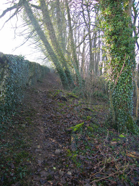
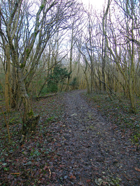
After visiting the kilns I took the path up through the woods to Haverbrack.
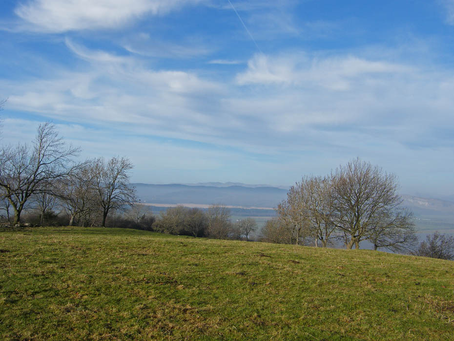
At last! ....a view across the river to Whitbarrow.
As I crawl my way to the top of Haverbrack there is even a view of the Coniston and Langdale fells.
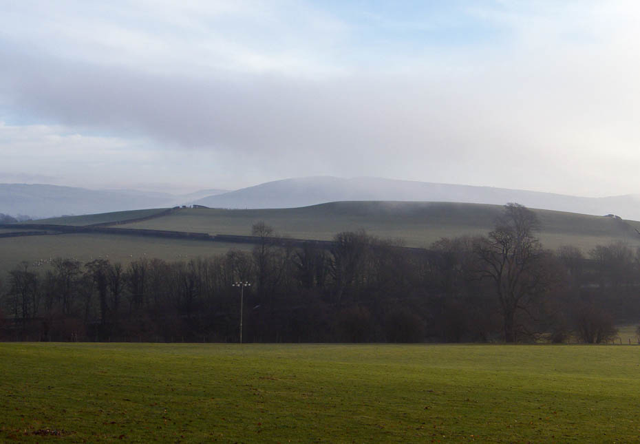
But over Milnthorpe the Howgills are swathed in a mass of dark cloud.
Made it to the top.....it's all downhill now.
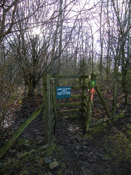
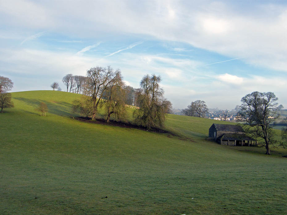
My route takes me through the Game Wildlife Area, but no worries, it's only pheasants!
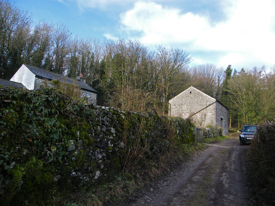
The path led me out near the barn shown here at Wray Cottage. From here it is a short road walk down to Beetham.
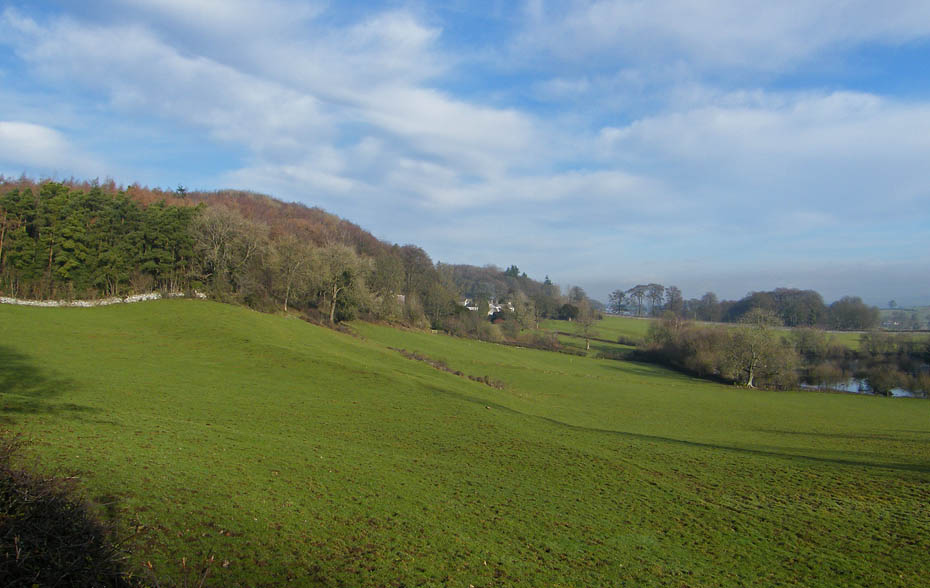
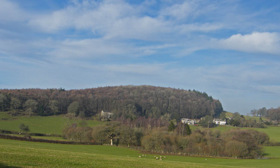
Looking up to Haverbrack.
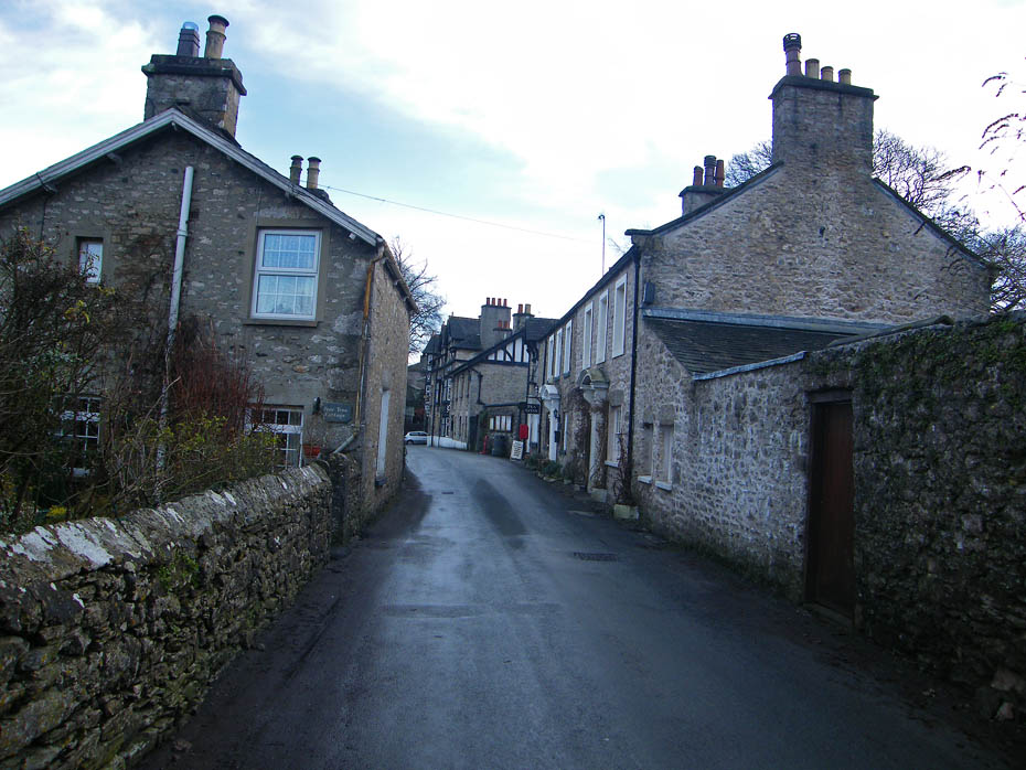
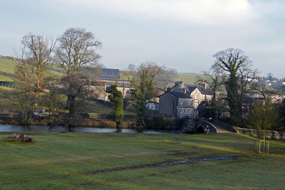
Back into Beetham. There is a cafe on the right but it's only open at weekends till Easter.
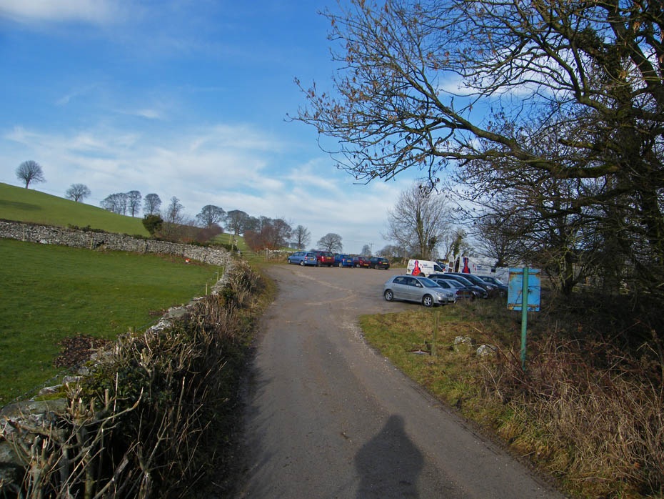
And finally......back to the car park.
Next Walk: 20th January 2011 - South Cumbria - Cunswick Fell
Last Walk: 18th January 2011 - North Lancashire - A walk around Glasson
Do you have a FaceBook or Twitter account? We post regular updates on both plus some additional pictures. Just click on either of the links below and add us.
![]()

We hope you have enjoyed viewing this walk. If you have any comments please sign our Guestbook or E_Mail us.
