
| Area: | Arnside & Silverdale | Ascent: | 300feet |
| Walk No: | 502 | Time: | 3hours |
| Date: | 4th March 2011 | Parking: | Crag Foot |
| Distance: | 5.75miles | Weather: | Fine & Sunny but with a deep haze. |
| Route: |
For those of you that are thinking of going onto the hills I would strongly recommend that you read the advice given by the Mountain Rescue organisation of England and Wales. To read this advice, which will open in a new page please click HERE. If you would like to make a donation to the Mountain Rescue organisation which is purely voluntary please click HERE. Please make the time to read the advice page.
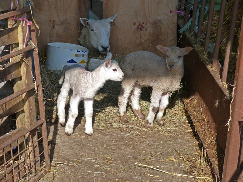
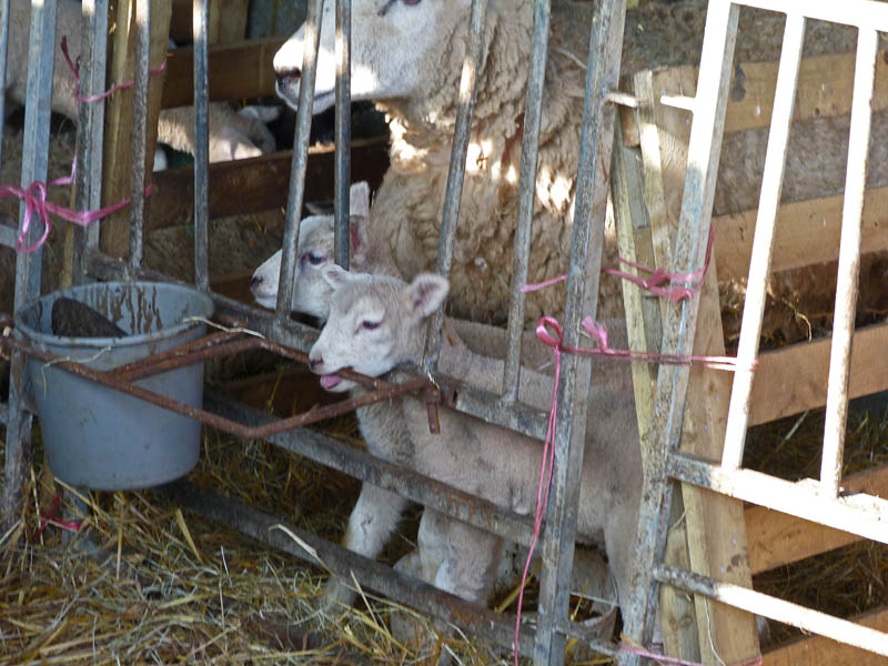
It was a late start today. Firstly I had an appointment at the doctors for my 3 monthly check-up and then Edith wanted to get the weekly shop done. Consequently it was around 12:30 when we got away the plan being a visit to Arnside and a walk up the Knott. However as we drove along the promenade at Morecambe we couldn't see a thing across the bay and as we drove through Warton near Carnforth we could barely see Warton Crag. Plans were quickly changed and we settled for this walk which isn't dependant on distance views. Instead we had the things that show that Spring is finally here, lambs, daffodils and frogspawn!!
Route
It's a beautiful day, only spoilt a little by the haze.
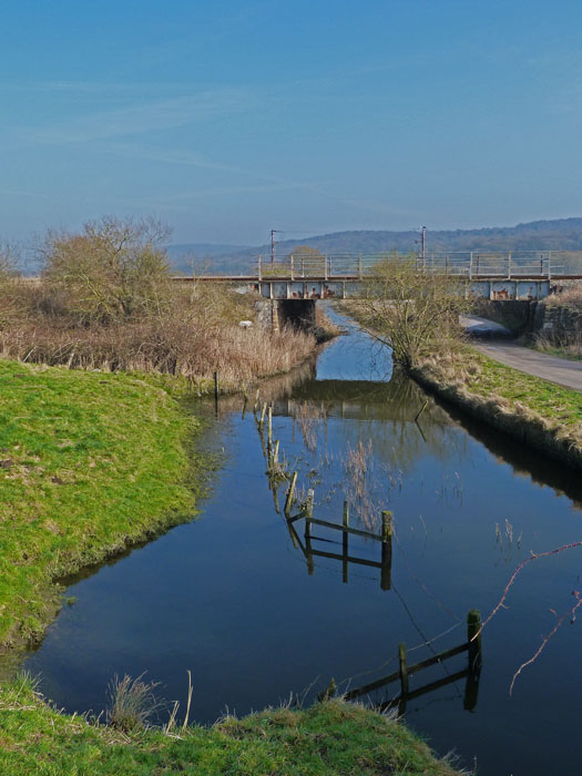
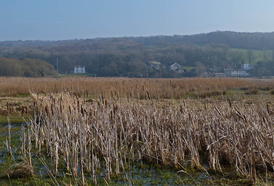
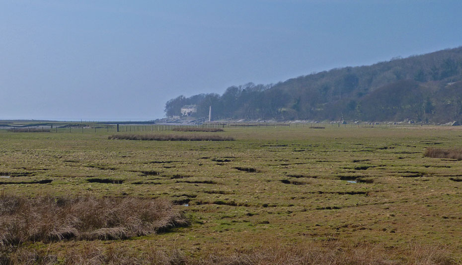
The railway line to Barrow crosses the outfall from Leighton Moss.
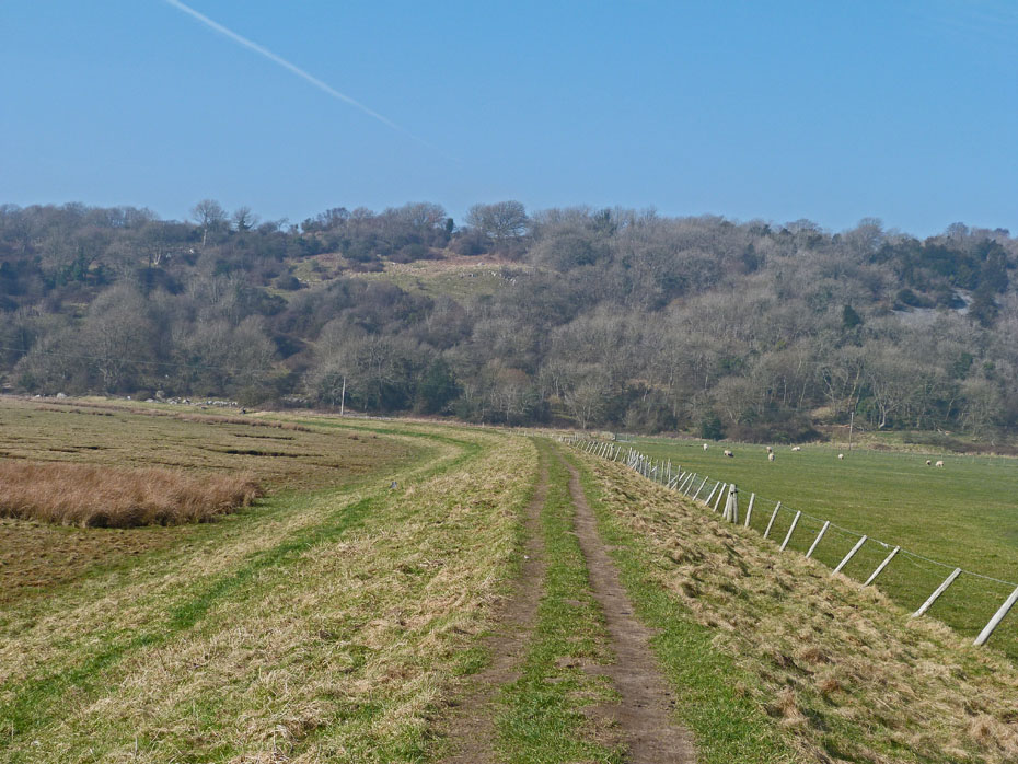
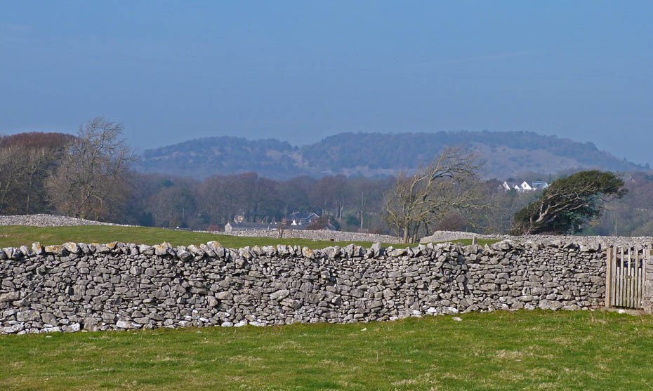
Looking towards Heald Brow as we walk along the causeway. At the end we will turn left.....
.....to follow the shoreline to Jenny Brown's Point.
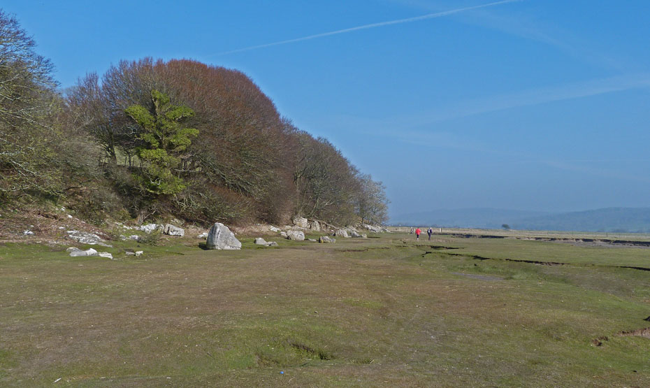
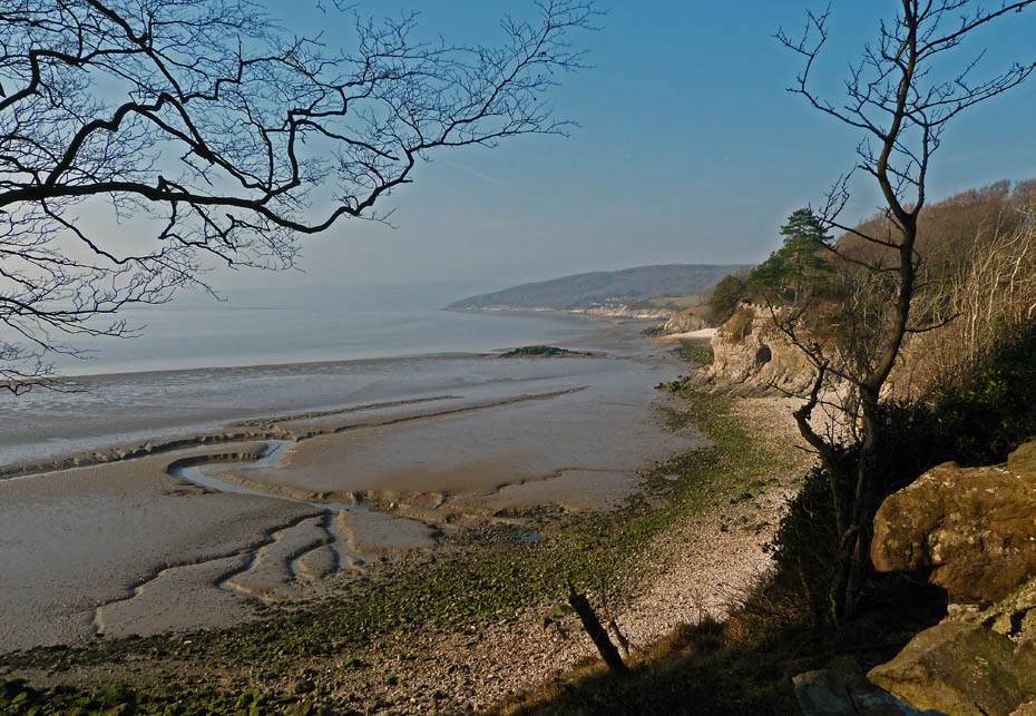
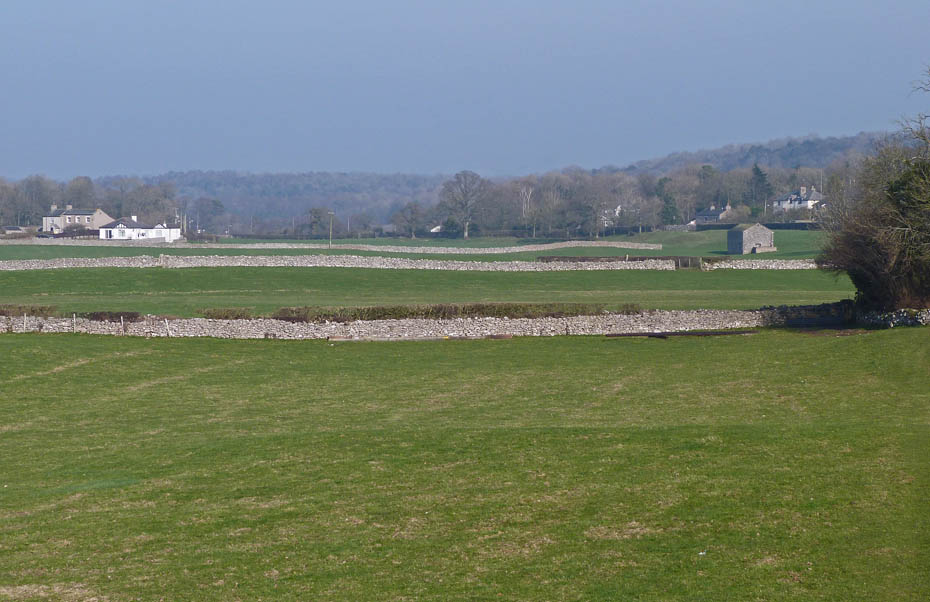
A look back as we walk along the shore shoes the depth of the haze.
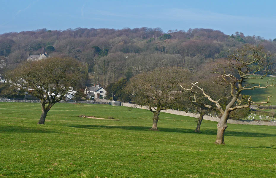
Looking across an ever-widening channel to a misty Warton Crag.
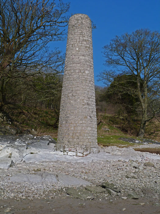
The old chimney near Jenny Brown's Point. This chimney was built around 1800 and it was believed to a remnant of a copper smelting works active from1780–1820. Other theories to the chimney’s origins include a mine ventilation shaft, a relic of a water-pumping scheme or a beacon to guide ships bringing ore for the Leighton Beck furnace. Copper was mined on the hill close by in Elizabethan times and until much later across the marsh at Crag Foot on the flanks of Warton Crag.
Approaching Jenny Brown's Point. The ruined stone jetty of was built to facilitate the construction of the copper smelt mill. It is difficult to imagine ships tying up against it, but at the time, in the late 18th century, the channel must have been deep enough. From the same point there is a ruined stone embankment which runs a considerable distance into the bay. This is a relic of an over-ambitious land reclamation scheme of 1873. It was intended to reclaim the marshes between Jenny Brown’s Point and Hest Bank, but the company ran out of funds and the scheme was abandoned.
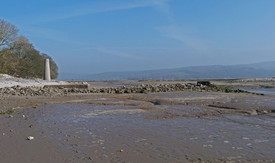
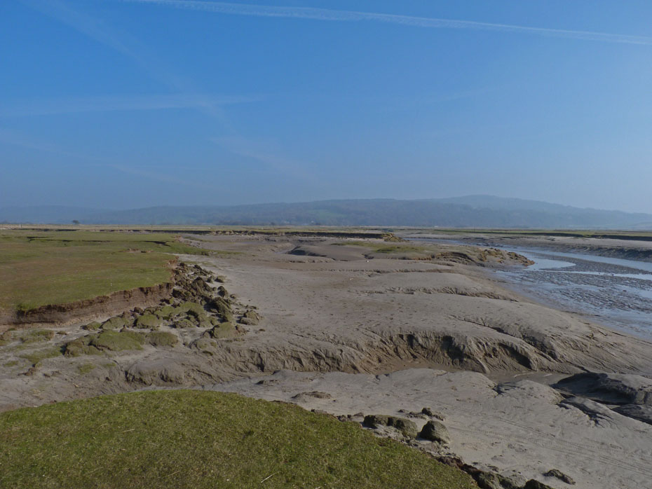
Looking back to the chimney, jetty and ruined embankment.
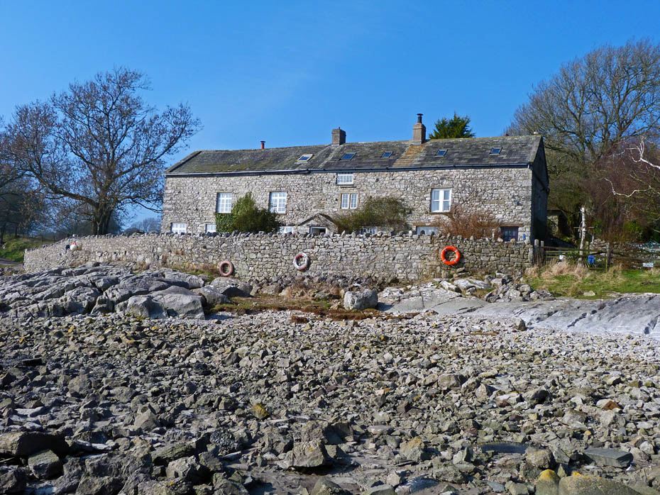
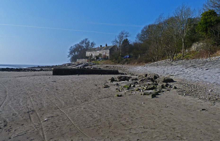
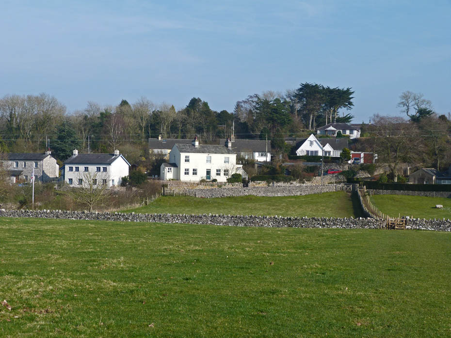
Brown's Houses (No relation)
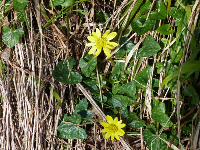
The Celadine was in flower along the banking as we made our way to Jack Scout.
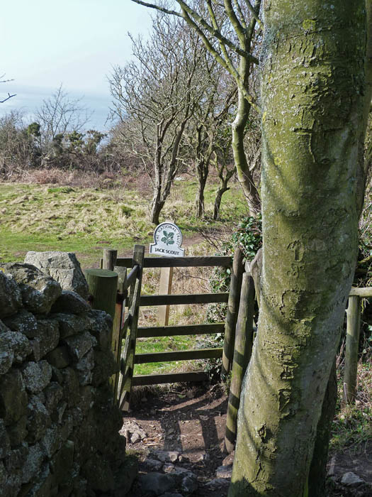
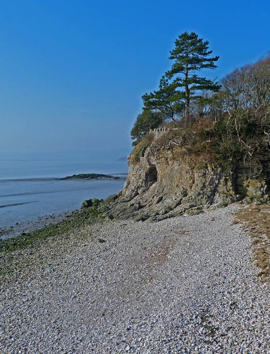
Entering the NT's Jack Scout reserve.
Jack Scout an area of heathland is a wonderful little spot, probably at its best in late Spring. It is home to the Giant's Seat with gorgeous views along Morecambe Bay.
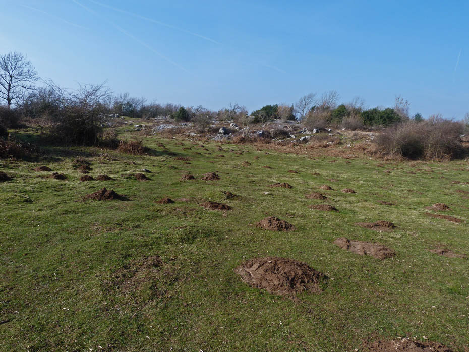
It seems to be a popular spot with the moles.
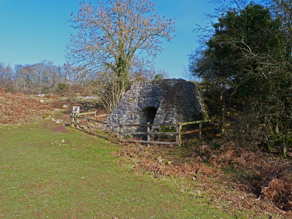
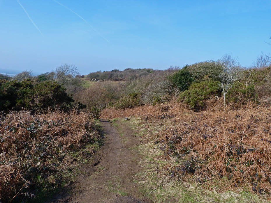
We left Jack Scout near the restored limekiln to walk towards Gibraltar.
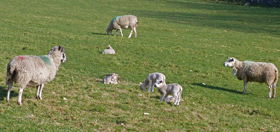
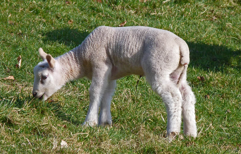
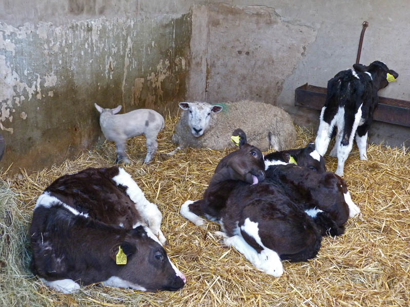
Lots of these little chappies in the field near the farm.
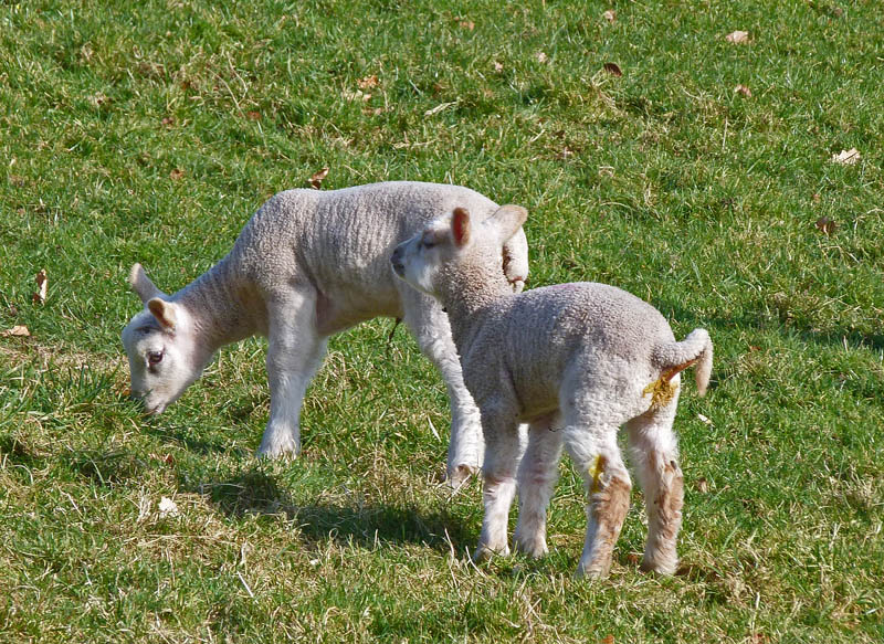
Hmmmmm........someone needs a wet wipe!
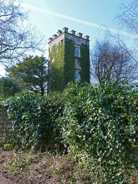
Lindeth Tower......Elizabeth Gaskell, the prominent Victorian author and wife of a Unitarian minister in Manchester frequently visited Silverdale to escape the city. At that time Lindeth Tower was a summer house adjoining the farm where she stayed with her daughters, and several of her novels were written here.
" I'll eat my way out of here!"
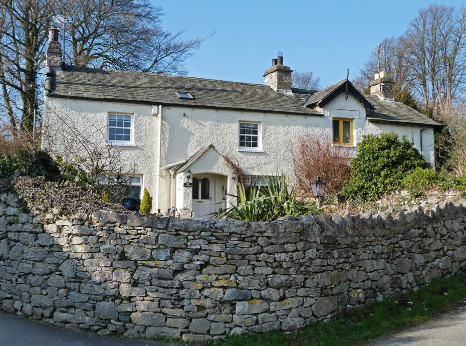
Cottages at Gibraltar.
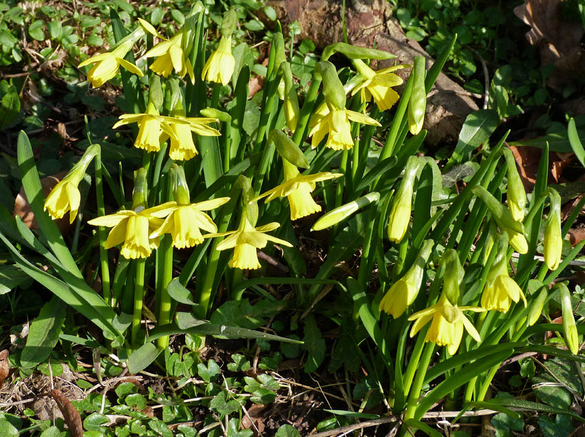
Daffodils in flower as we make our way to Woodwell.
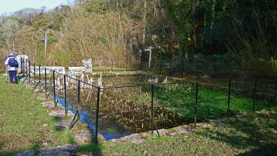
The pond at Woodwell.
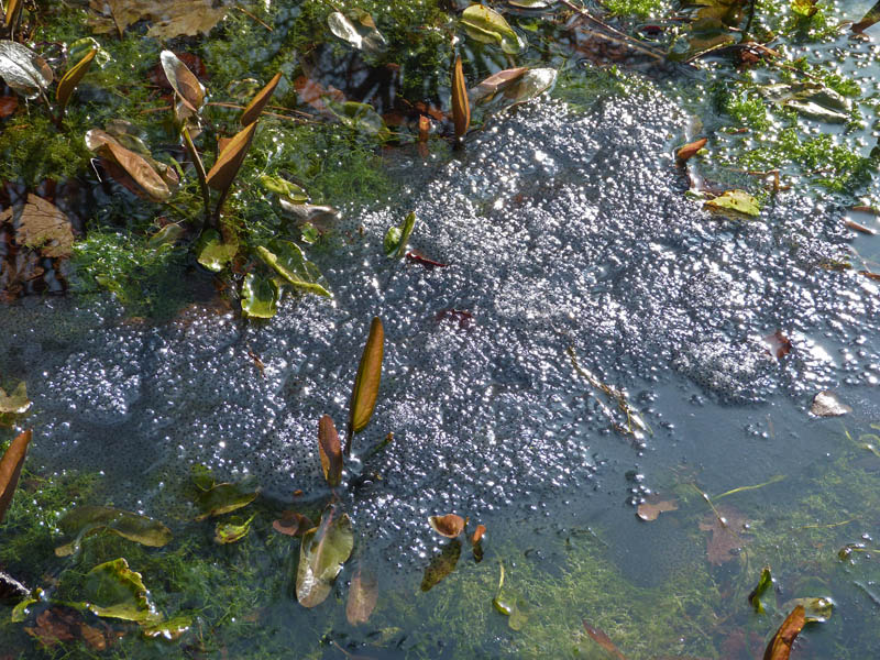
Celadine, Lambs, Daffodils and now Frogspawn.....Spring really as sprung!!!!
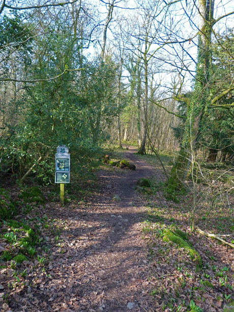
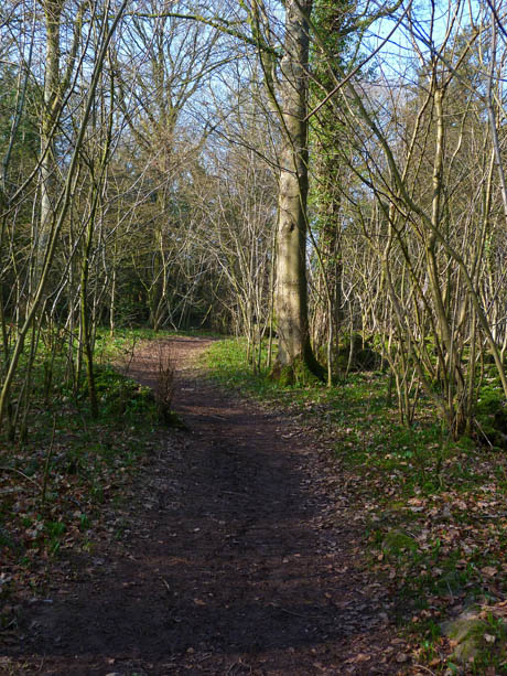
A walk through the delightfully named Bottoms Wood on our way to Silverdale. It won't be long before the air is rich with the smell of wild garlic.
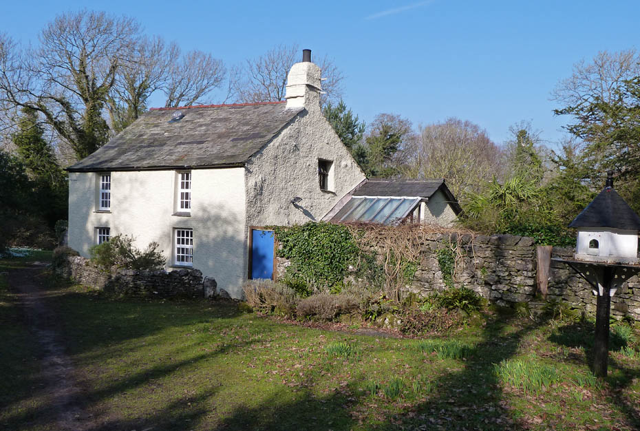
Woodwell Cottage.
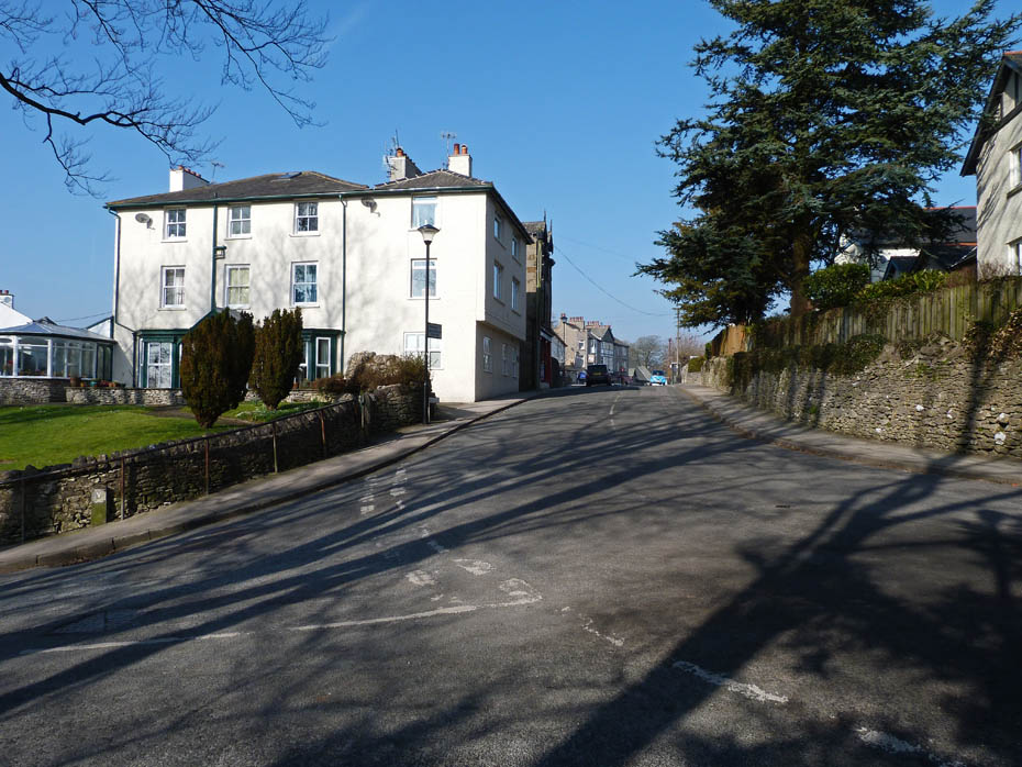
Silverdale arrival. However we did not walk through the village instead taking the path across The Lots and Bank House to The Cove.
A hazy view of Far Arnside and a barely visible Grange behind as we make our way to The Cove.
Arnside Knott
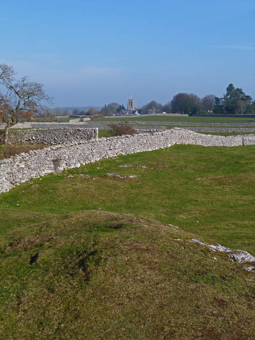
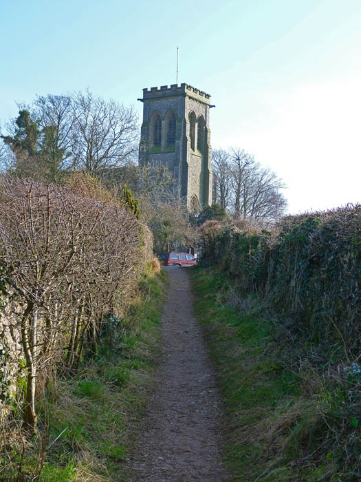
Looking over to the church at Silverdale which we will pass shortly.
Looking down on The Cove. There used to be acres of lovely salt marsh here but sadly most of it as now gone.
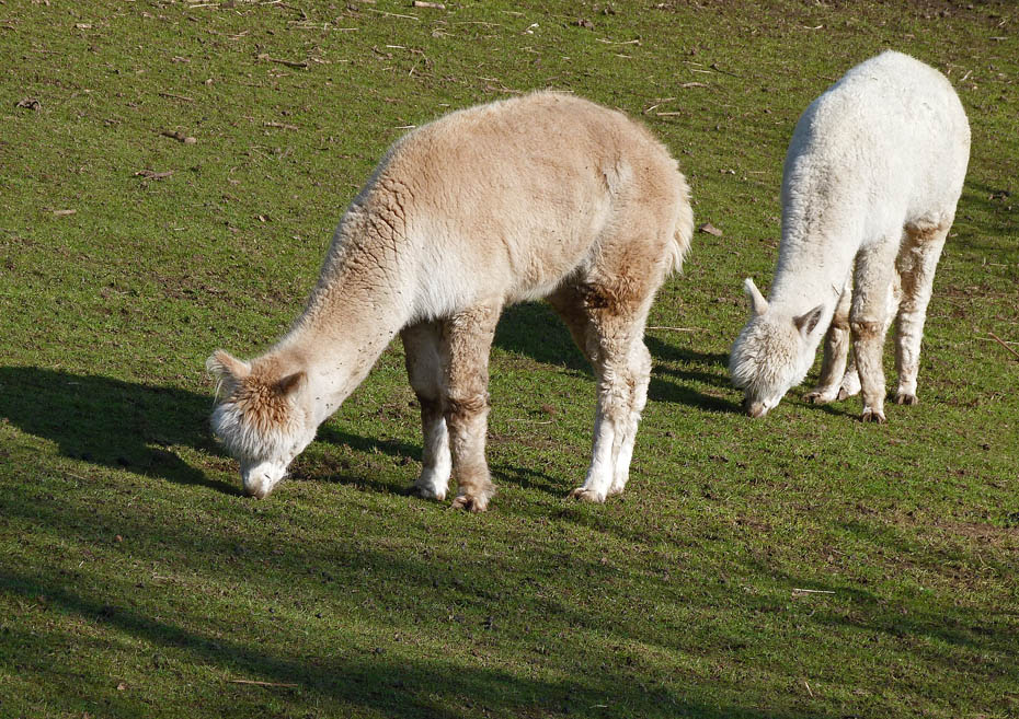
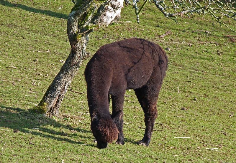
They are either Alpacas or giant French Poodles......either way I like the Beatles hairstyle.
From the Cove we walked back along the road towards Silverdale to take a lane up to the church. We walked through the churchyard to pick up a path across the fields to The Row.
Looking over to Eaves Wood from the field path.
Almost at The Row where we will turn right along the quiet road back towards the car.
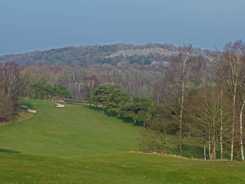
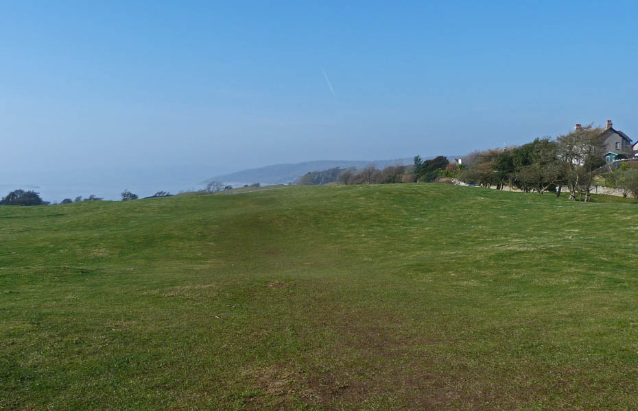
Looking over part of the Silverdale Golf course with the rock face of Trowbarrow Quarry beyond.
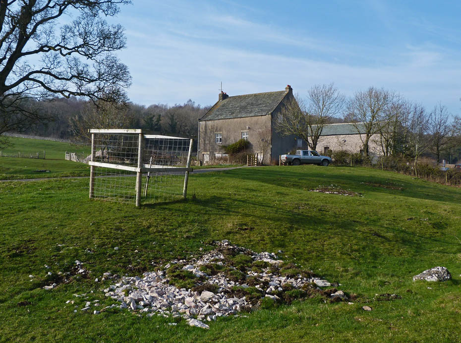
Renovation work continues at Slackwood Farm.
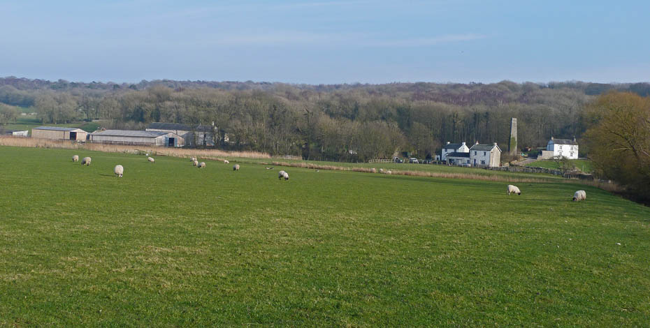
Almost back at the car now and a view across towards Moss House Farm and Crag Foot.
Next Walk: 6th March 2011 - Arnside & Silverdale AONB - Up the Fairy Steps to Beetham Fell
Last Walk: 2nd March 2011 - Arnside & Silverdale AONB - Leighton Moss encircled
Do you have a Facebook or Twitter account? We post regular updates on both plus some additional pictures. Just click on either of the links below and add us.
![]()

We hope you have enjoyed viewing this walk. If you have any comments please sign our Guestbook or E_Mail us.
