
| Area: | Lake District | Ascent: | 760feet |
| Walk No: | 545 | Time: | 2hours 45minutes |
| Date: | 30th May 2011 | Parking: | Moor Howe |
| Distance: | 5.25miles | Weather: | Dull & Overcast at first becoming brighter |
For those of you that are thinking of going onto the hills I would strongly recommend that you read the advice given by the Mountain Rescue organisation of England and Wales. To read this advice, which will open in a new page please click HERE. If you would like to make a donation to the Mountain Rescue organisation which is purely voluntary please click HERE. Please make the time to read the advice page.
---------------------------------------------------------------
Although the day started with a very dull and showery morning the afternoon promised to be a little brighter. Not wanting to venture too far into the Lake District on a Bank Holiday Monday we drove to Ings and then took the Moorhowe Road to park at it's junction with the Dubbs Road. As we were getting our boots on the heavens opened for a 10 minute period but apart from one light shower near the old quarry that was it.
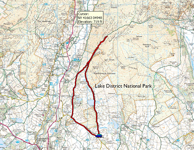
Route Map
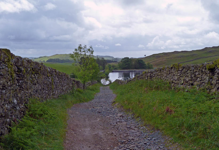
After a 10 minute downpour of almost biblical proportions we set off along the Dubbs Road.
Hopefully the day will improve to afford us some good views.
The Foxgloves are just starting to flower along the track.
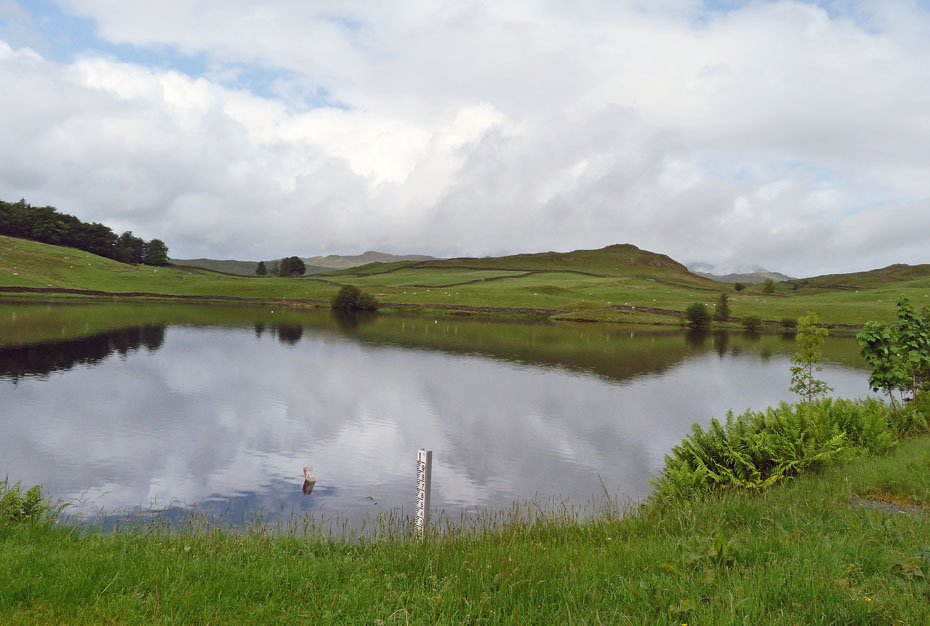
A peaceful Dubbs Reservoir....A disused reservoir which was restored at a cost of around £2,000,000 by United Utilities in consultation with Natural England, the Environment Agency, the Lake District National Park and the Friends of the Lake District.
A look back as we start to climb a little.
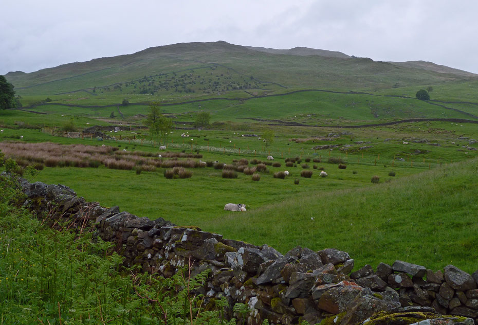
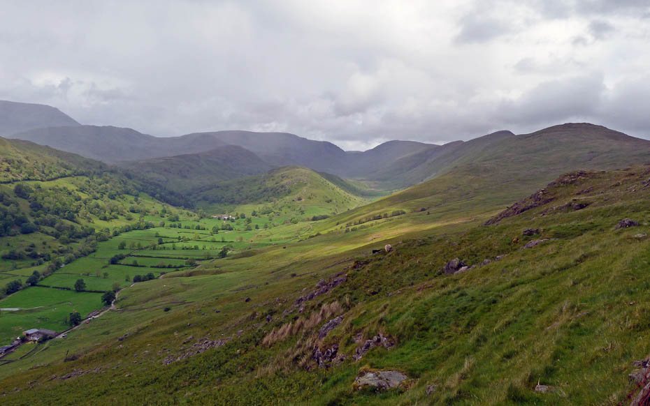
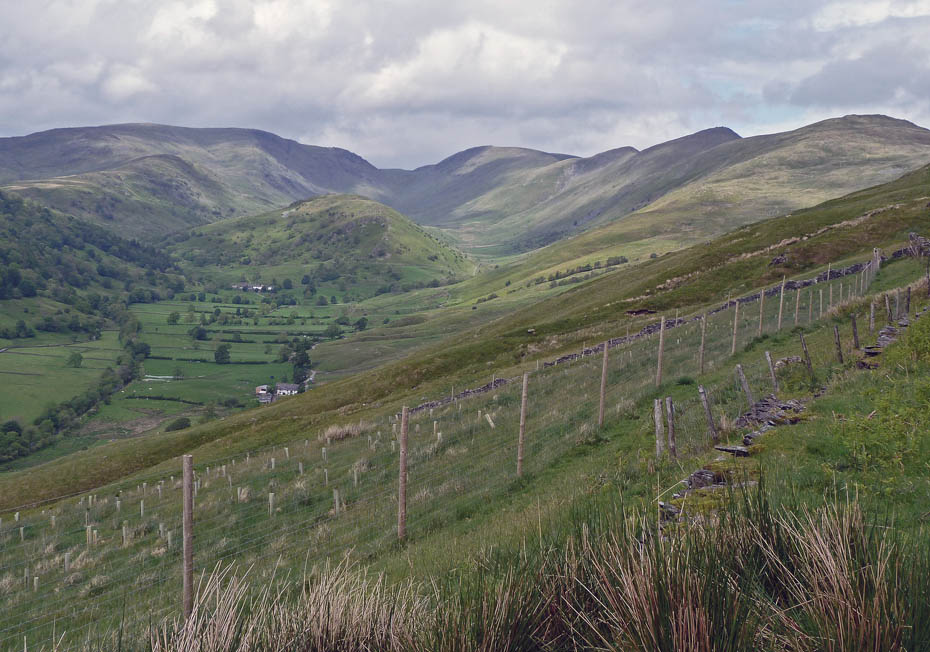
A distant and broody looking Wetherlam over Whinny Howe.
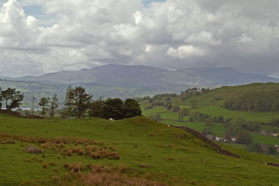
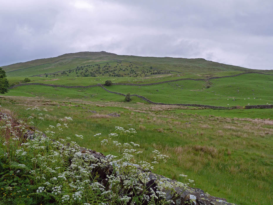
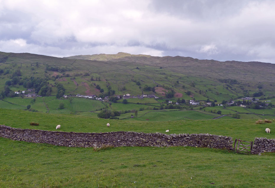
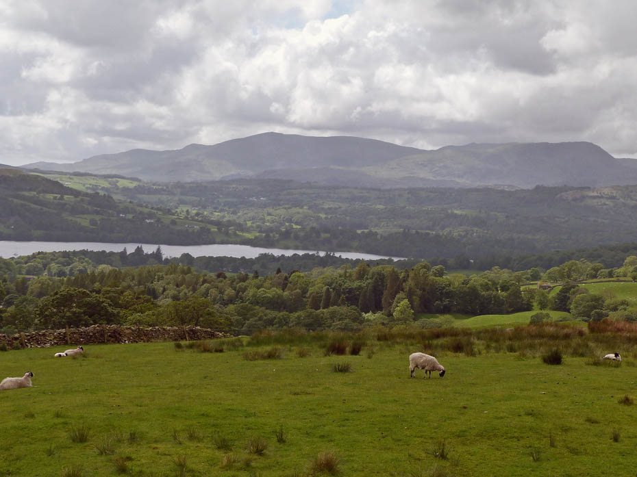
As we continue along the Dubb Road gaining height as we go the Coniston Fells appear over the southern ridge of Wansfell with a glimpse of Windermere to the left.
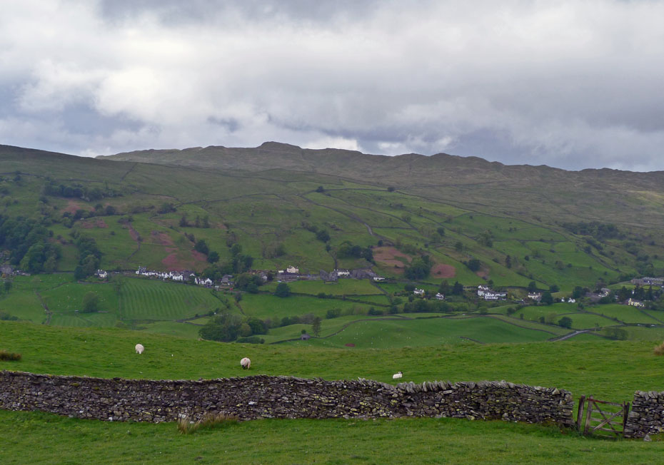
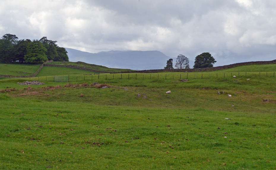
Looking across the valley of Trout Beck to Wansfell.
Ahead of us the cloud topped Far Eastern Fells.
It looks like it's brightening a little.
Wansfell Pike catches the sun......wish it was me!!
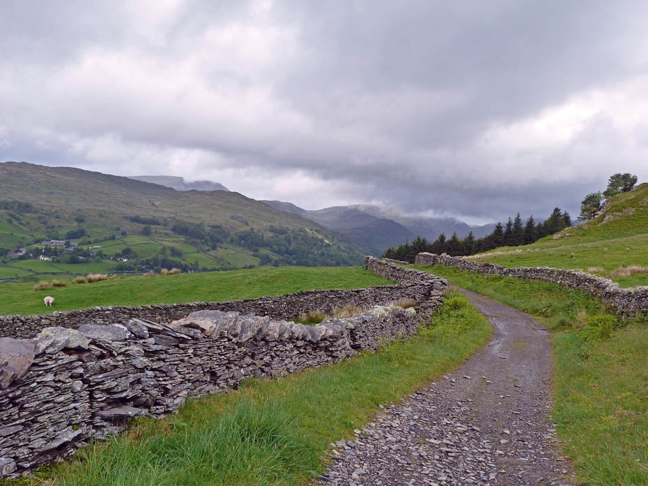
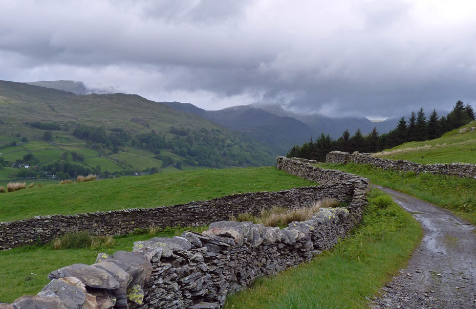
This where the Dubbs Road joins the Garburn Road which goes over into the Kentmere Valley. We will carry on a while then retrace our steps to the junction to then take the Garburn Road down for a while.
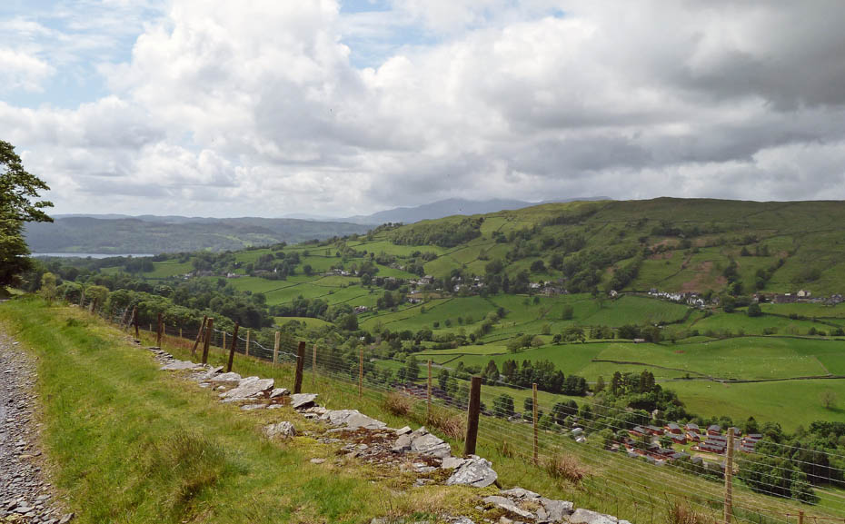
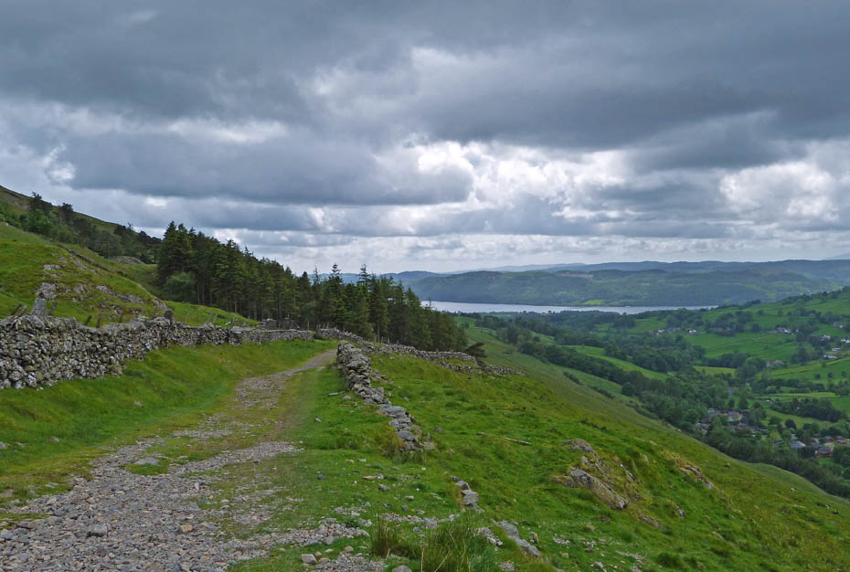
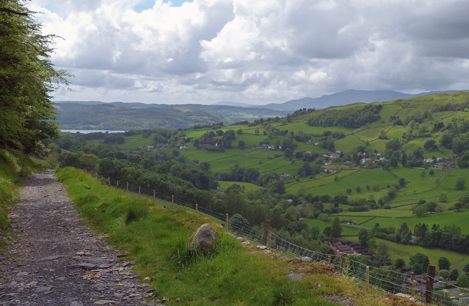
There are bits of blue in the sky as we look back to Windermere.
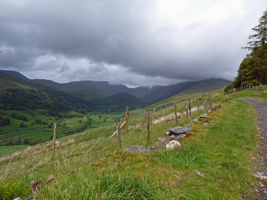
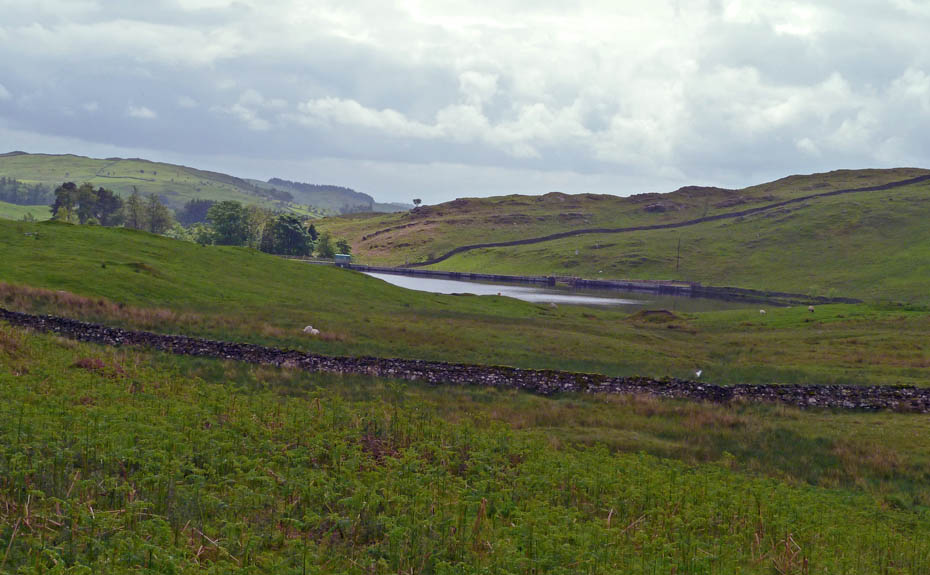
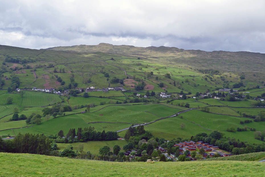
The clouds are hopefully clearing as we approach the long disused Applethwaite Quarry.
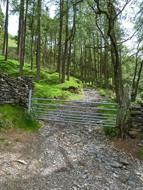
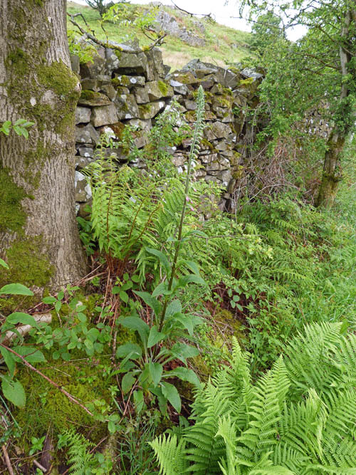
The entrance to the quarry. Well worth a look around but I've got enough on just getting along the track a bit further.
Well, it's all been worthwhile. The clouds have cleared the tops of the fells....
....and there's even some sun to light up the valley a little.
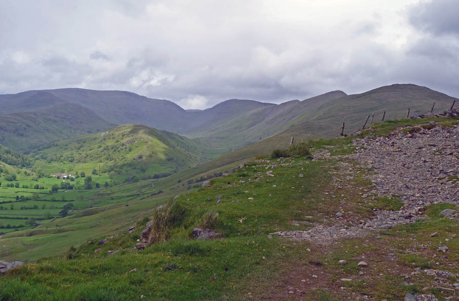
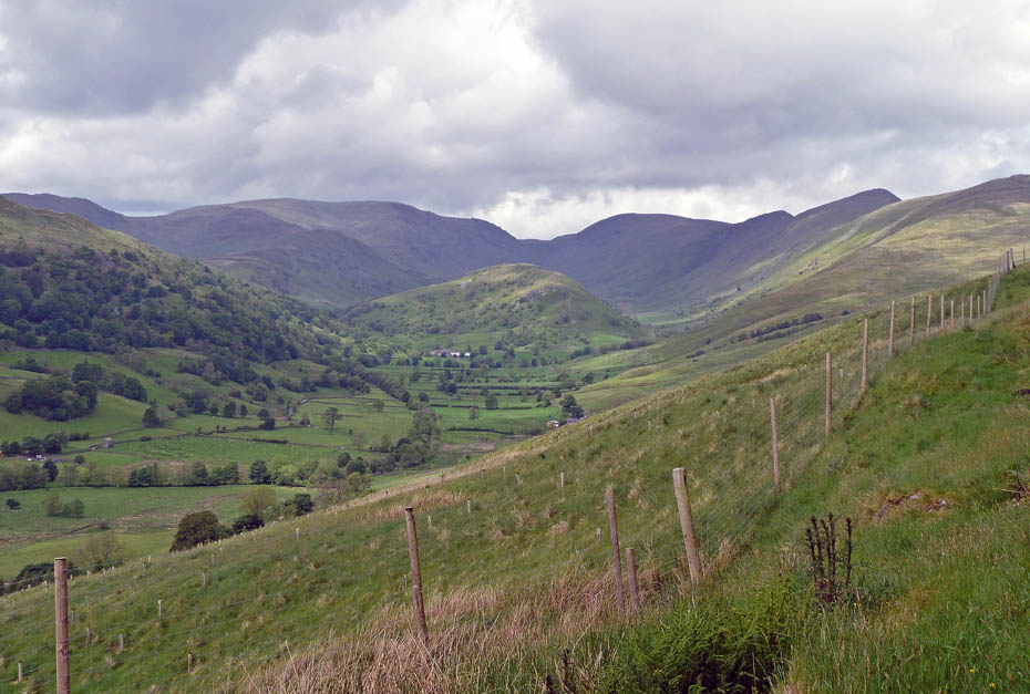
After feasting the eyes to what remain some of my favourite fells we start the return. The breathing is easier now as it's all downhill.
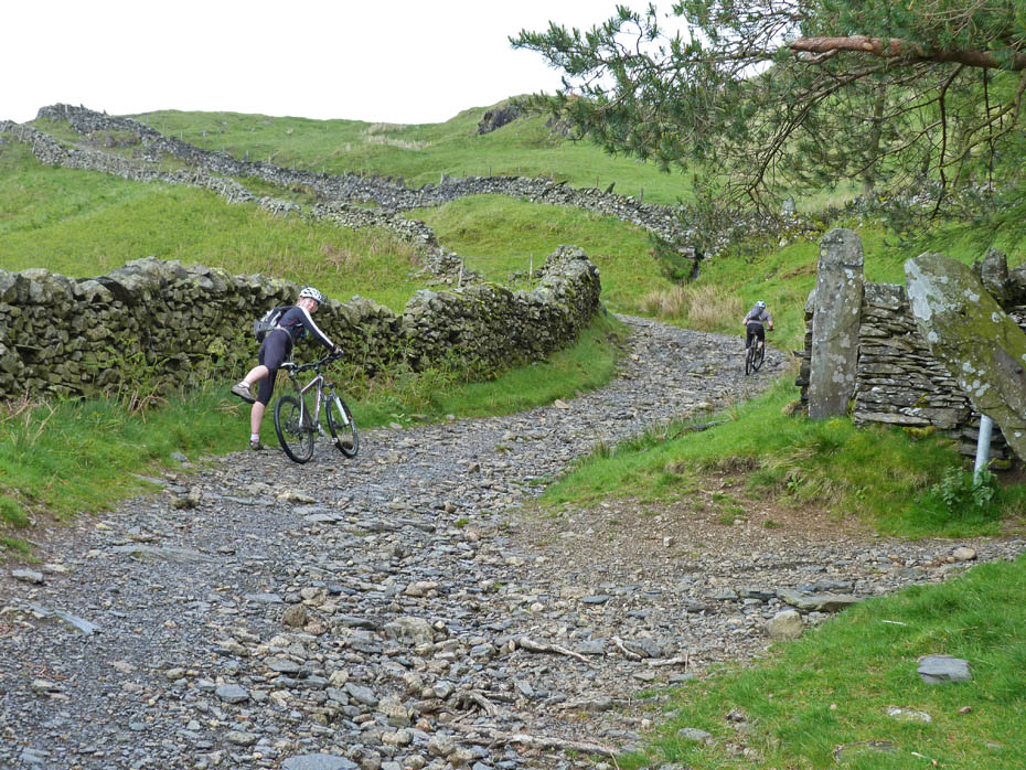
A young couple stopped to say hello as they made their way up Garburn.
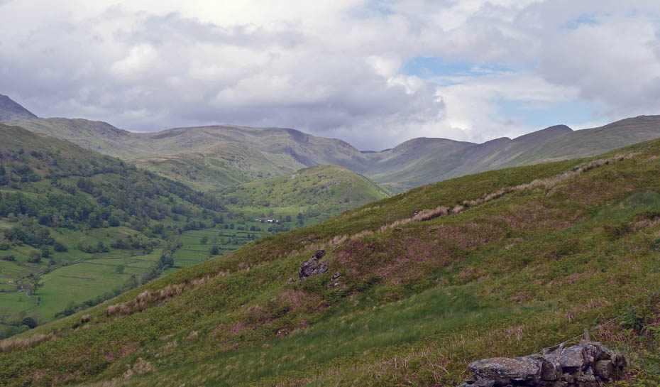
You'll have to excuse me for looking back so often, I'm not sure when or if I will get to see them from here again.
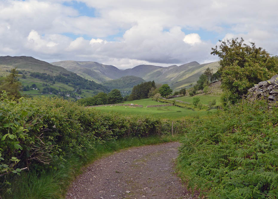
We are back at the Dubbs/Garburn junction now and following the Garburn Road down until the Longmire Track is reached.
We left the Garburn Road at its junction with the Longmire Track which would take us back towards the car.
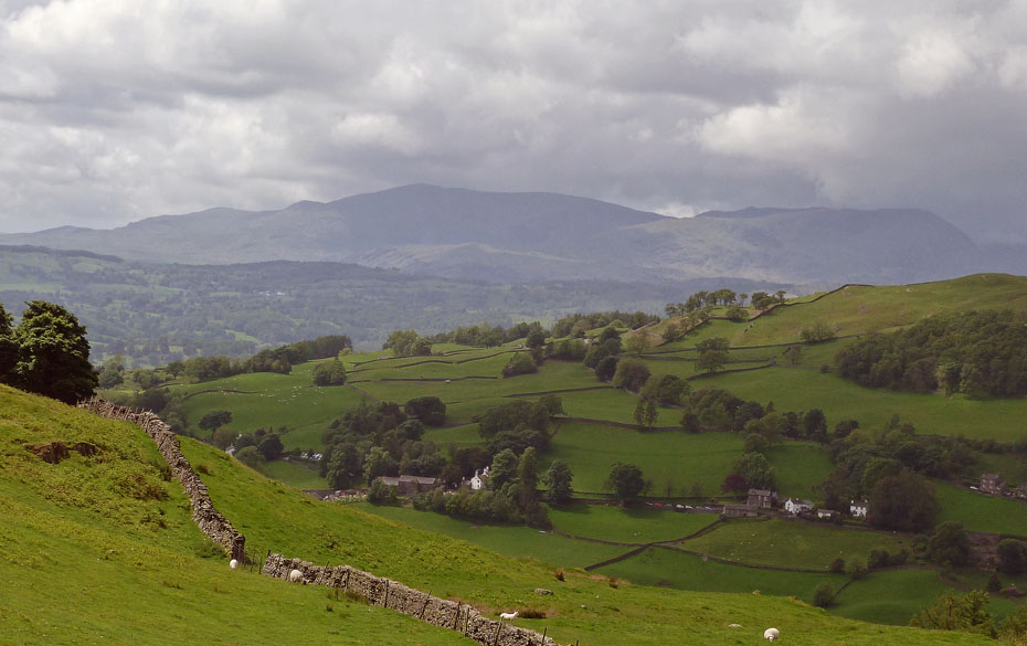
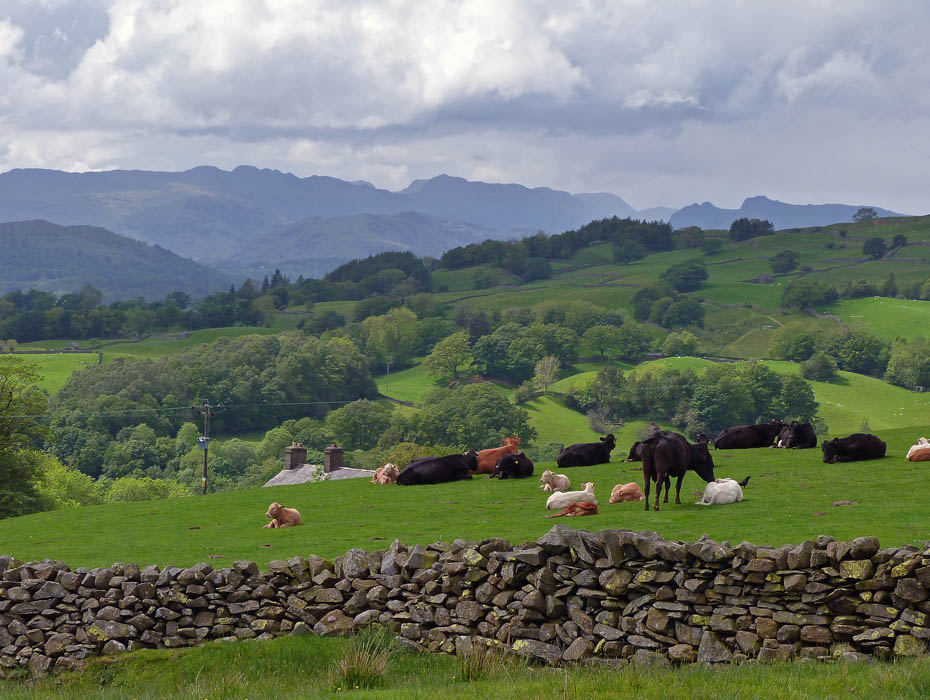
Coniston Fells over Windermere.
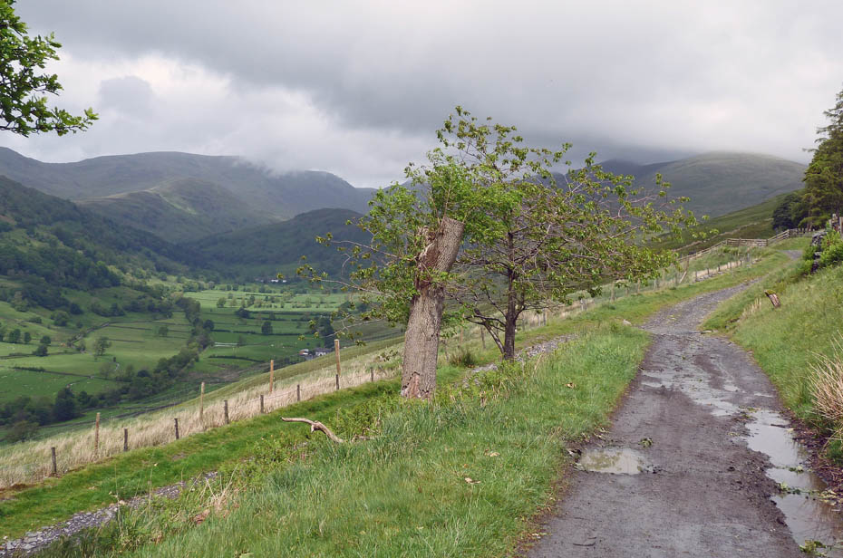
The head of Langdale Fells from the Longmire Road.
Over Low Longmire to Wansfell.
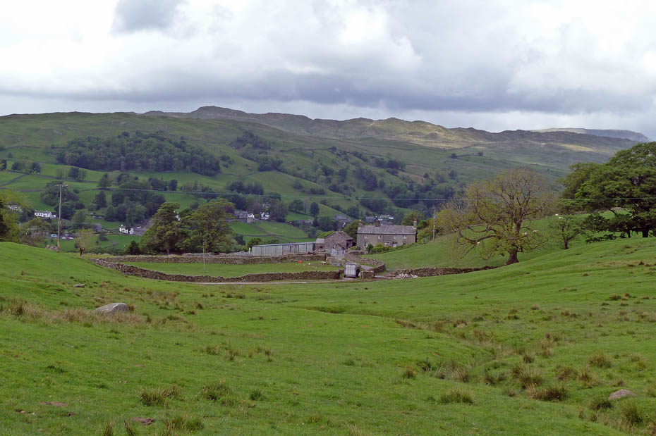
The Longmire Track led us out onto the Moorhowe Road from where it was a short road walk back to the car with a view here towards Orrest Head.
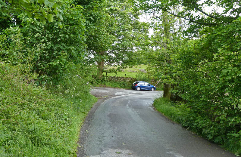
And finally.....back to the car
Next Walk: 31st May 2011 - Lake District - A Rydal Water Circular from Pelter Bridge.
Last Walk: 27th May 2011 - Lake District - Scout Scar from Helsington Church.
Do you have a Facebook or Twitter account? We post regular updates on both plus some additional pictures. Just click on either of the links below and add us.
![]()

We hope you have enjoyed viewing this walk. If you have any comments please sign our Guestbook or E_Mail us.
