The pictures below were sent in by Colin & Joan Ainsworth of a walk they did on the 5th October 2008 around the Bolton Abbey area of Wharfedale in the Yorkshire Dales. Below is a map of the route they took, starting & finishing at point 6 on the map.
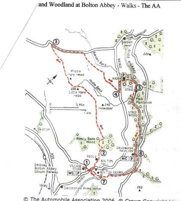
When I plotted this route out on Memory Map it came out at approximately 8 miles and 1000 feet of ascent.
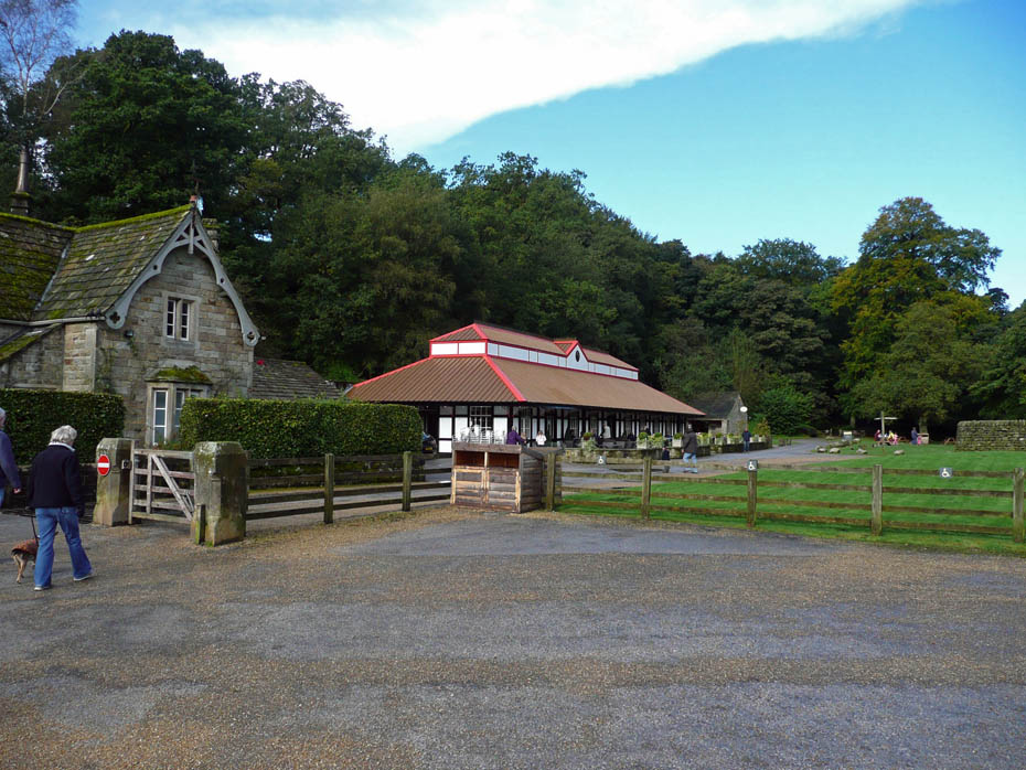
The Pavillion at Bolton Abbey. This would later be Colin & Joan's afternoon tea stop....but first there's some walking to do.
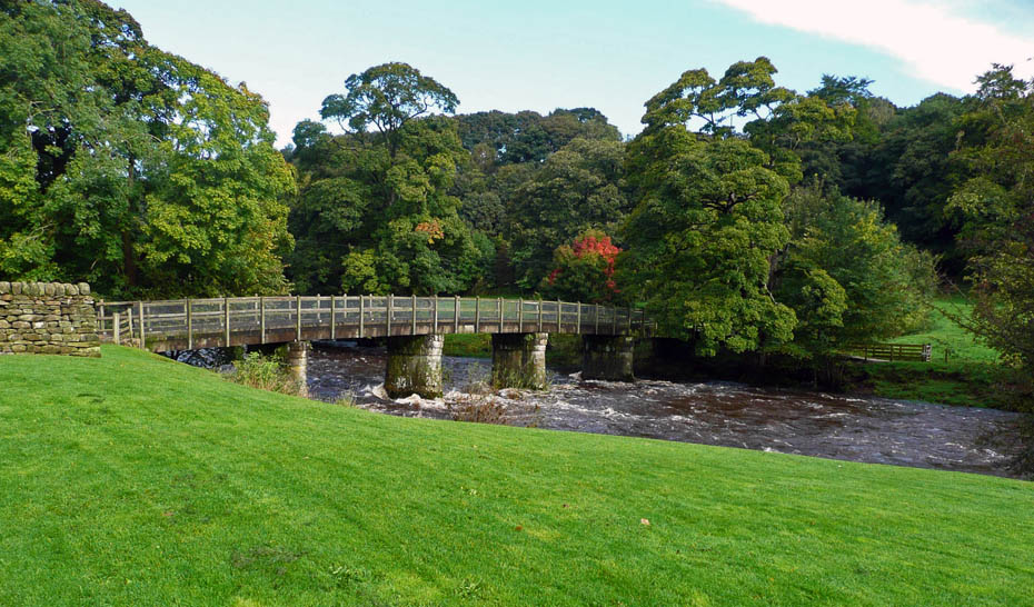
The footbridge over the River Wharfe.
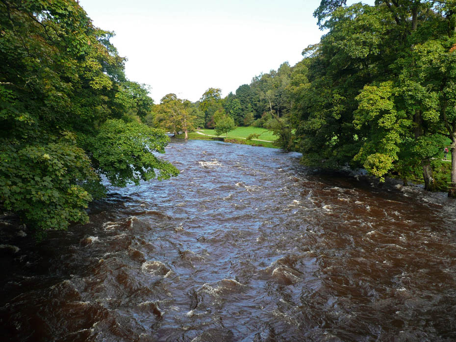
After plenty of recent rain the river is in full flood
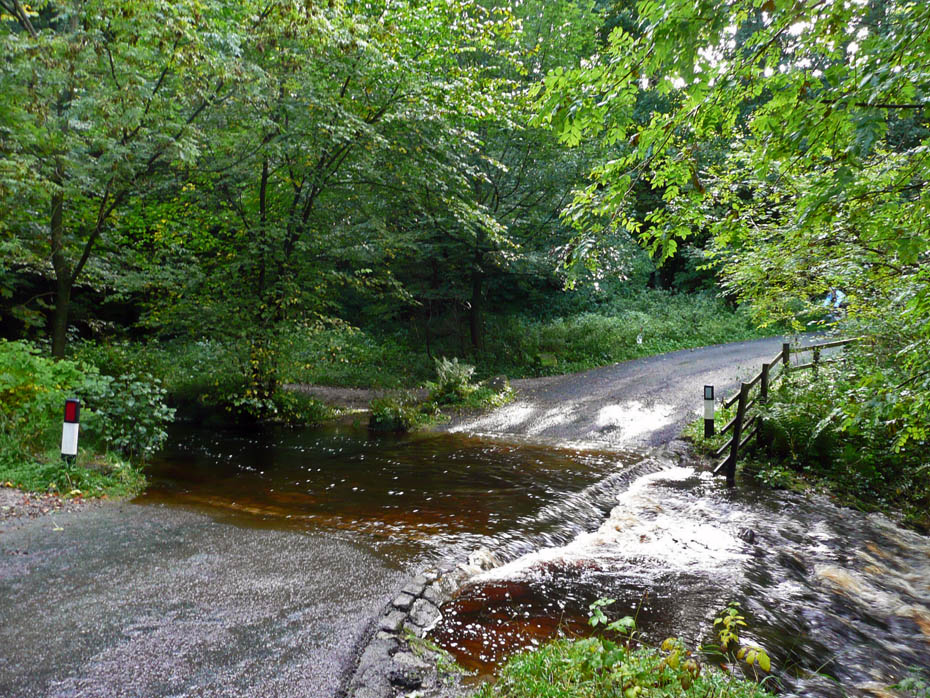
Hmmm......perhaps we should be wearing wellies!
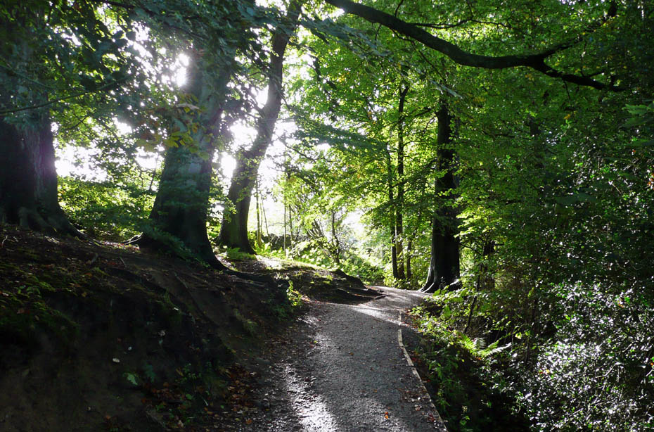
Walking through the woods.
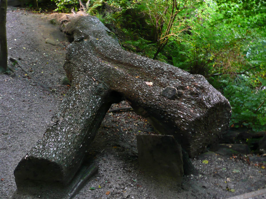
A money tree.....maybe worth bringing some pliers next time!!
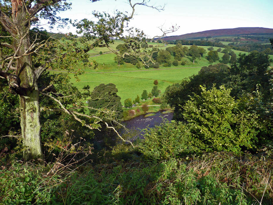
High above the River Wharfe
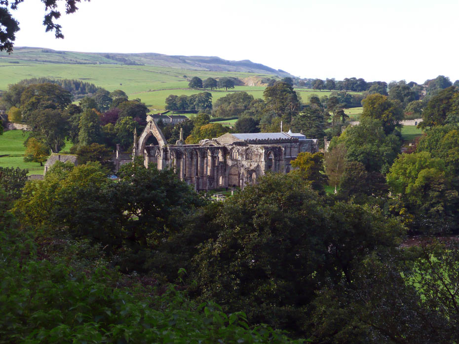
Bolton Abbey
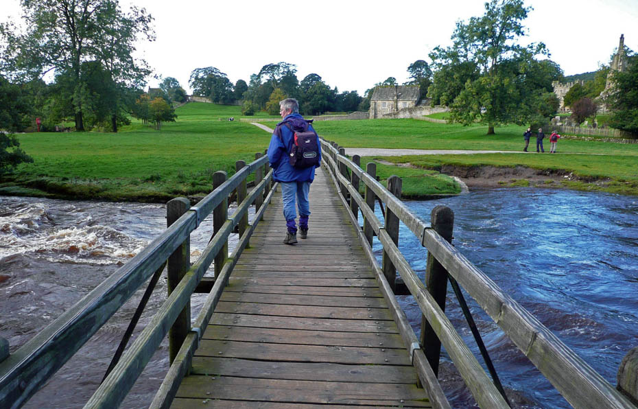
Crossing the footbridge across the Wharfe to the Abbey
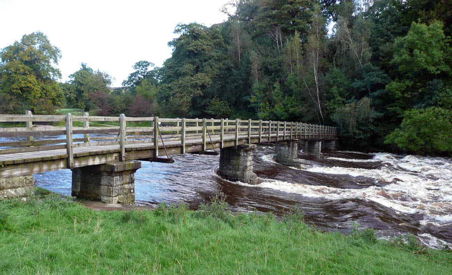
The water is racing by the piers of the footbridge
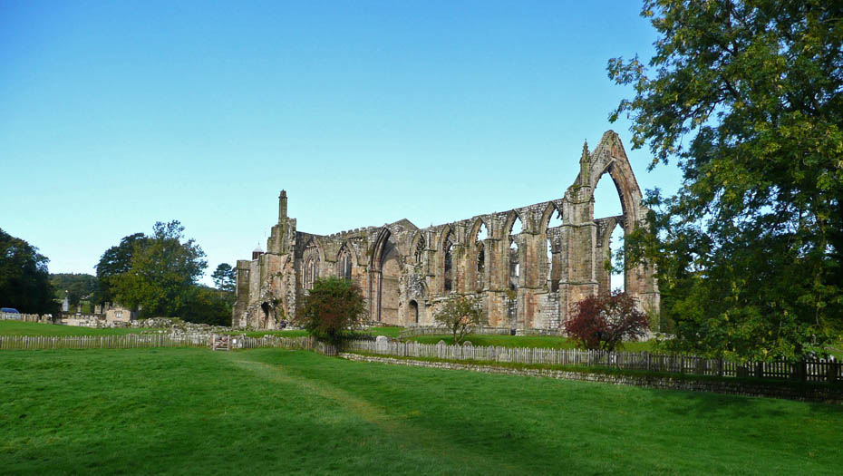
Bolton Abbey.....for more info click HERE ...opens in new window
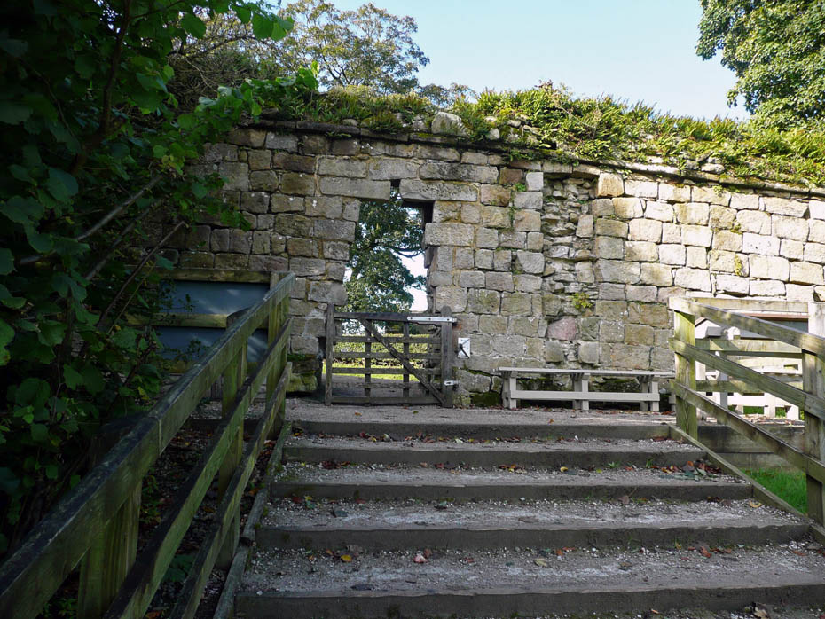
The Hole in the wall.....the way to the Abbey
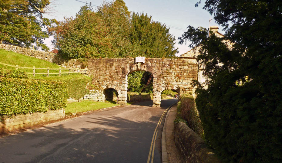
The Arches
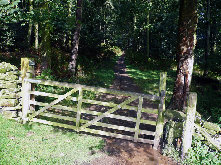
The route ahead
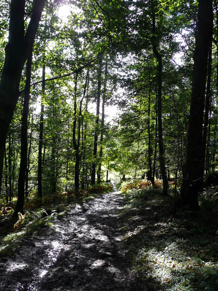
First through woodland
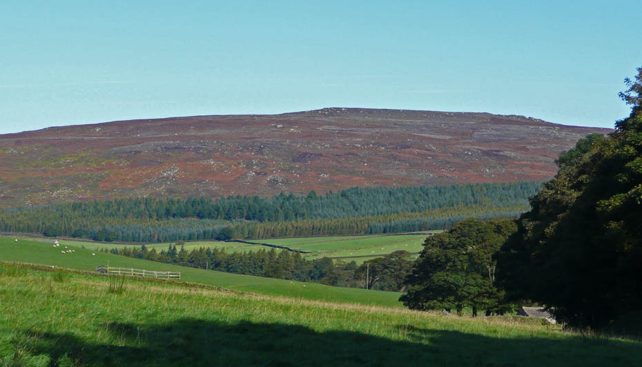
And across the the moorland of Little & Middle Hare Head
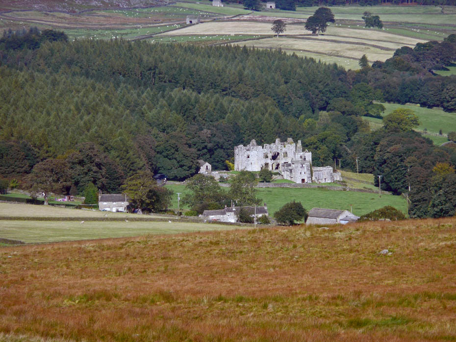
Barden Hall
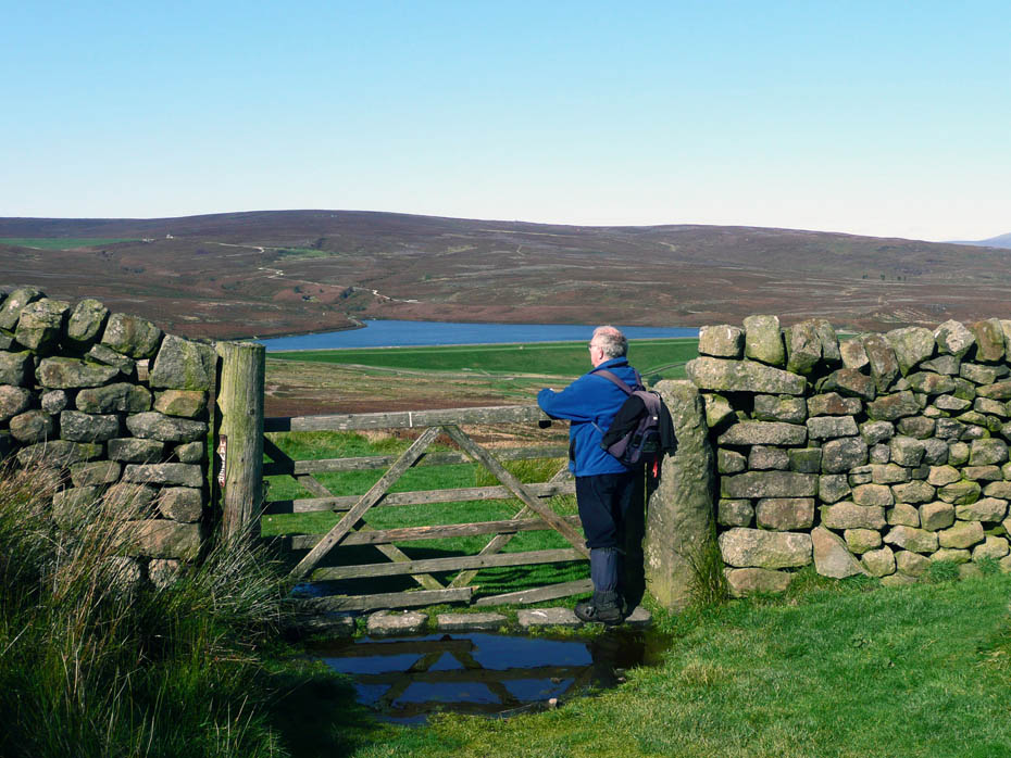
Admiring the view. I believe the reservoir is Low Barden Reservoir where we walked on the 4th July 2008
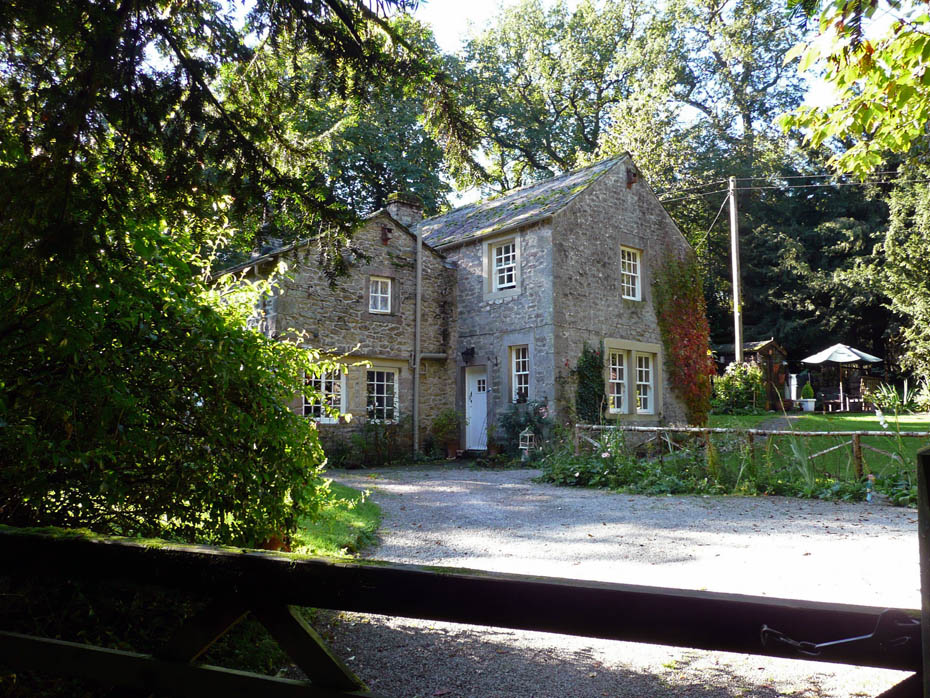
Strid Cottage
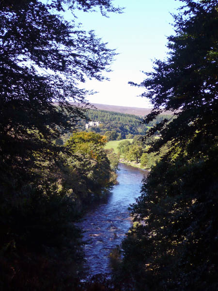
Looking upstream to Barden Hall
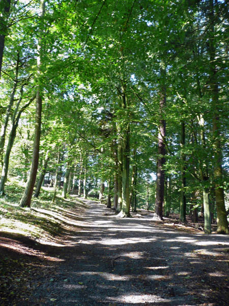
The path through Strid Wood.
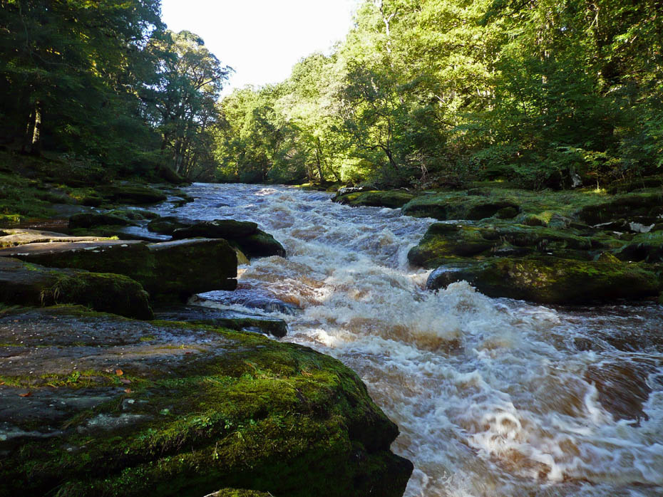
The Strid
At its narrowest point the Strid is only about two metres wide, and foolhardy visitors have in the past tried to jump across the roaring chasm. Failure is invariably fatal, however, as there is no recorded incidence of anyone having survived a fall into the thundering waters of the Strid - which mercilessly sucks its victims into the underwater caves and eroded tunnels which lie hidden underneath each side of the rocky channel. (Courtesy of Yorkshire Dales.com)
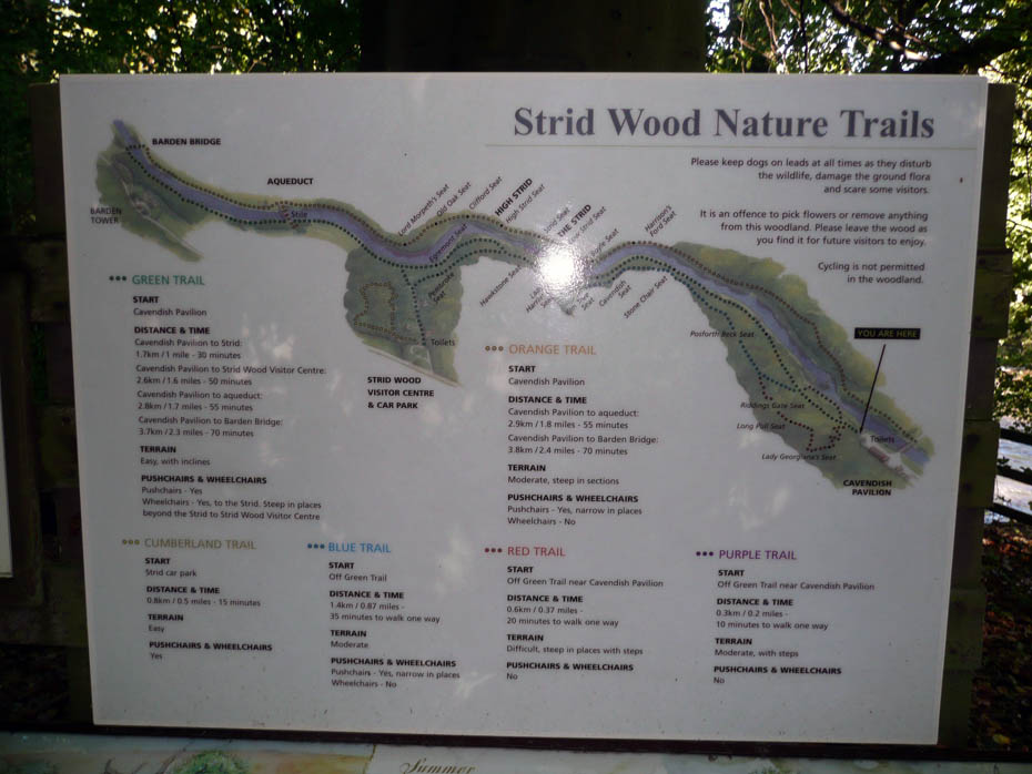
Info board
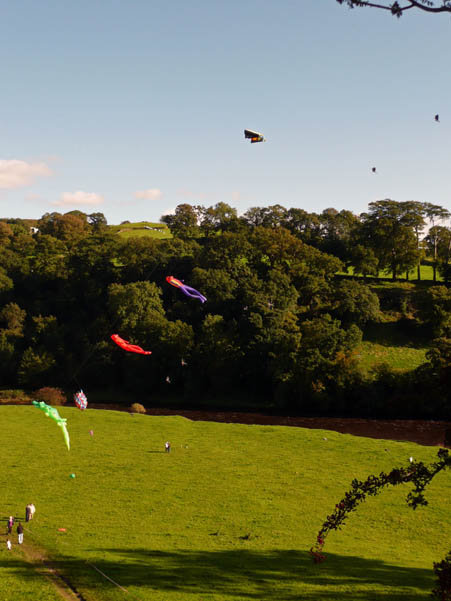
And finally back to the start where a Kite Festival was in Progress.
Once again, many thanks to Colin & Joan for sharing these pictures.
Return to Other Pictures Return to Homepage