
| Area: | NW England | Ascent: | 550 feet |
| Walk No: | 0081 | Time: | 3 hours |
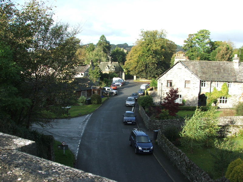
| Date: | 4th October 2007 | Parking: | Near Levens Bridge (SD496854) |
| Distance: | 6.75 miles | Weather: | Dull to start then fine & sunny |
| Route: | Levens - Levens Park - old Lancaster - Kendal canal - Hawes Bridge - Levens Park - Levens. |
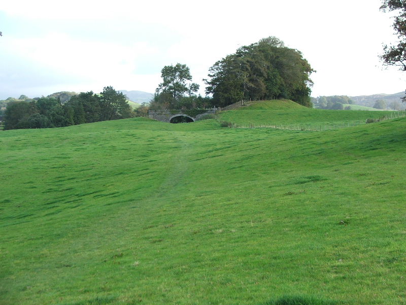
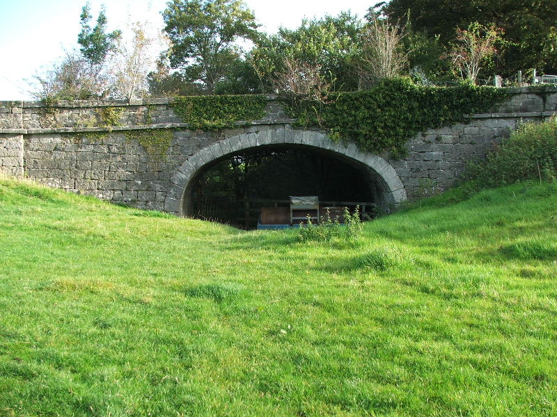
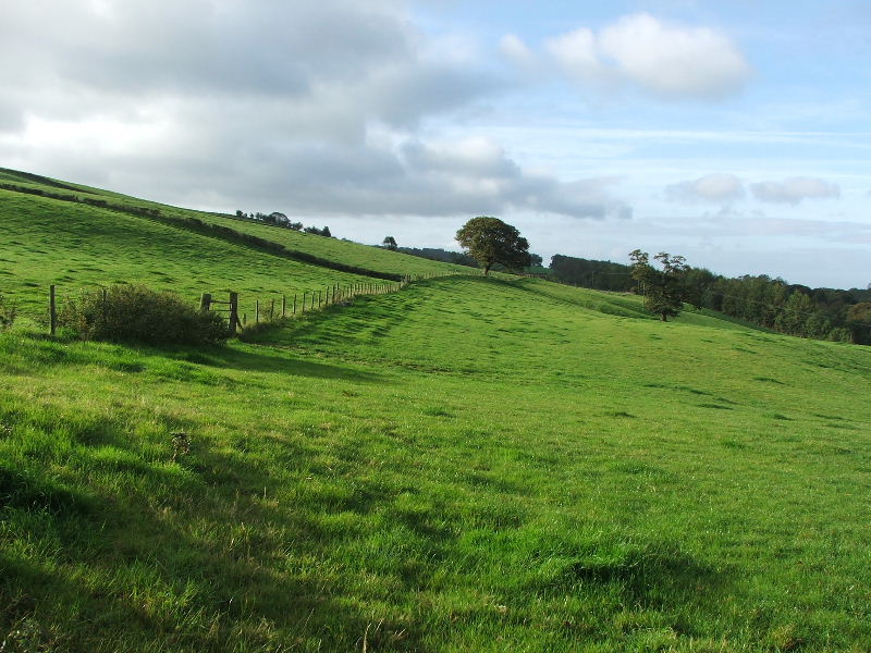
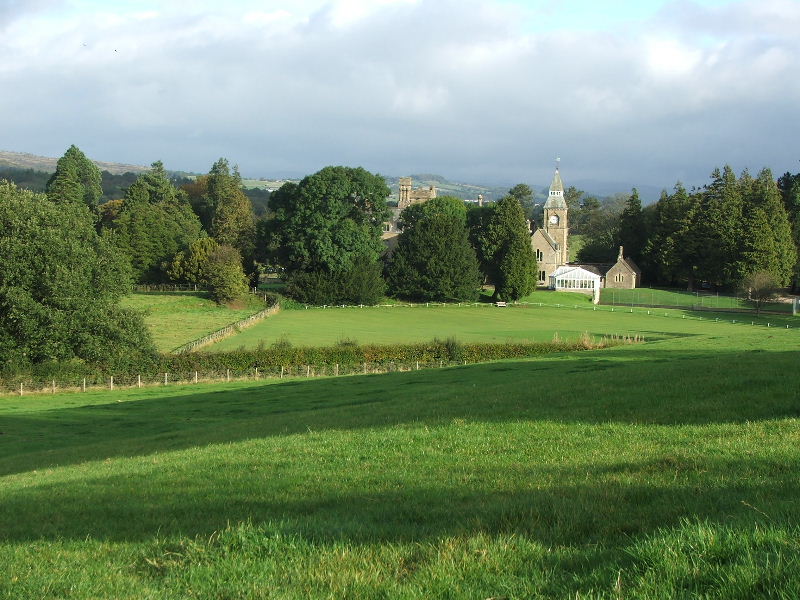
I was by myself today and just wanting an easy walk before returning home for noon. I left the car near Levens Bridge on the A6 and walked through Levens Park on the eastern bank of the River Kent to the top of the park. I then crossed the A590 before taking the track of the old canal towards Kendal. This I followed as far as Hawes Bridge from where I took a riverside path down the River Kent to re-enter Levens Park on the western bank of the river.
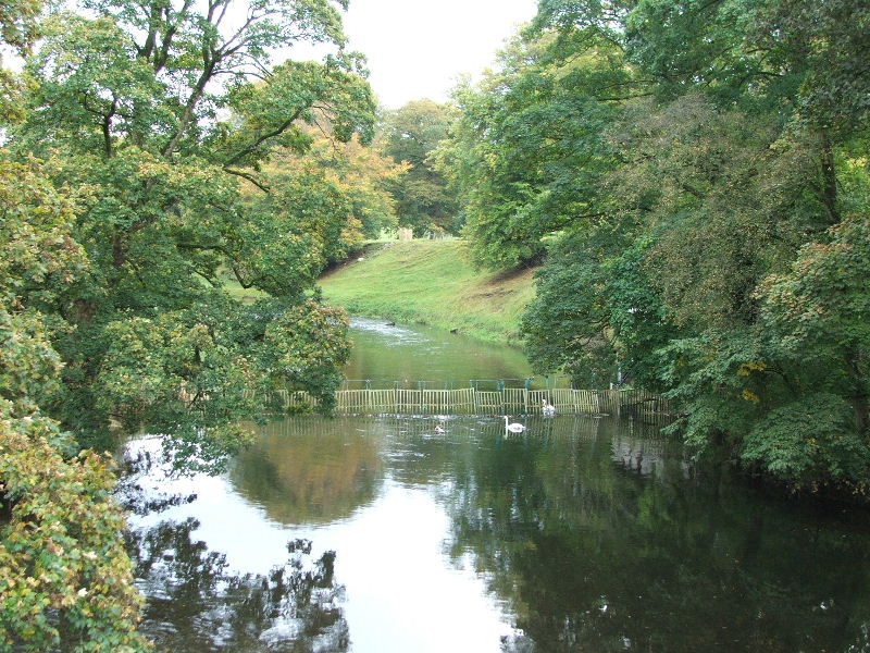
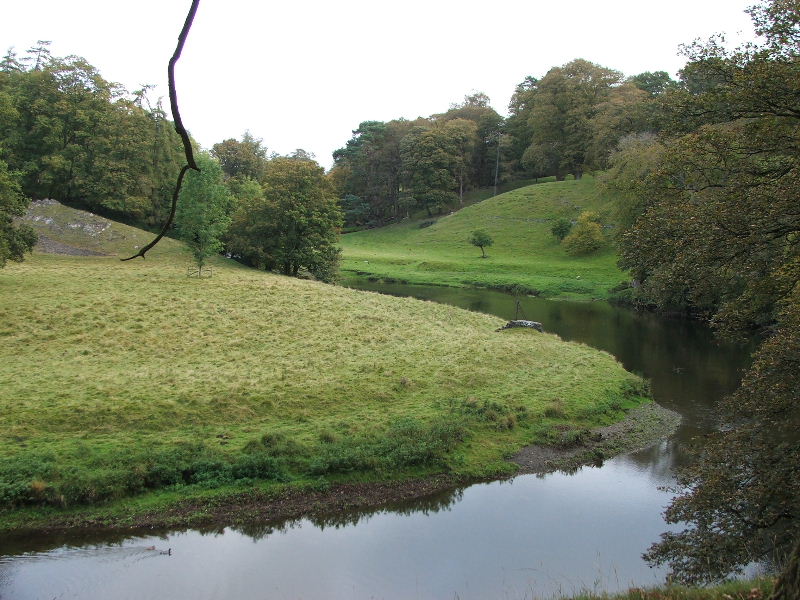
The River Kent from Levens Bridge.
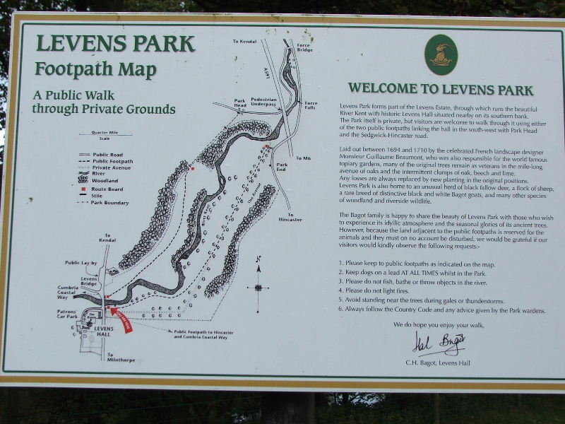
Information board at the entry point to Levens Park.
For more information re Levens Hall & Park click here. It will open in a new window
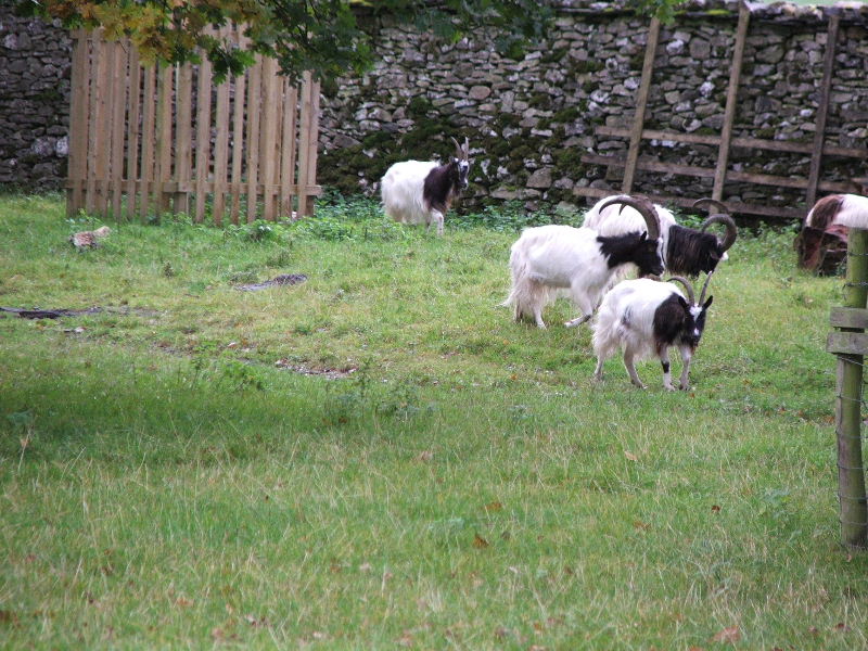
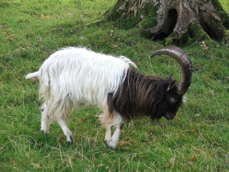
Some of the Bagot goats.
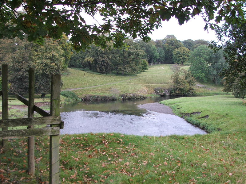
Looking across the river to the path I would return on later.
It was still rather dull at this point but the weatherman on Radio Cumbria had promised some sun.
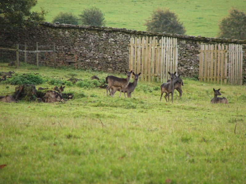
A close up of some of the deer. They are very shy but as I was quite early they were out in the open.
As I walked up through the park the path rises above the river.
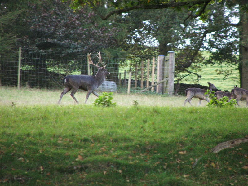
Now this was a rare sight for me. I can usually get a few shots of the deer but catching the Stag is a rare event.
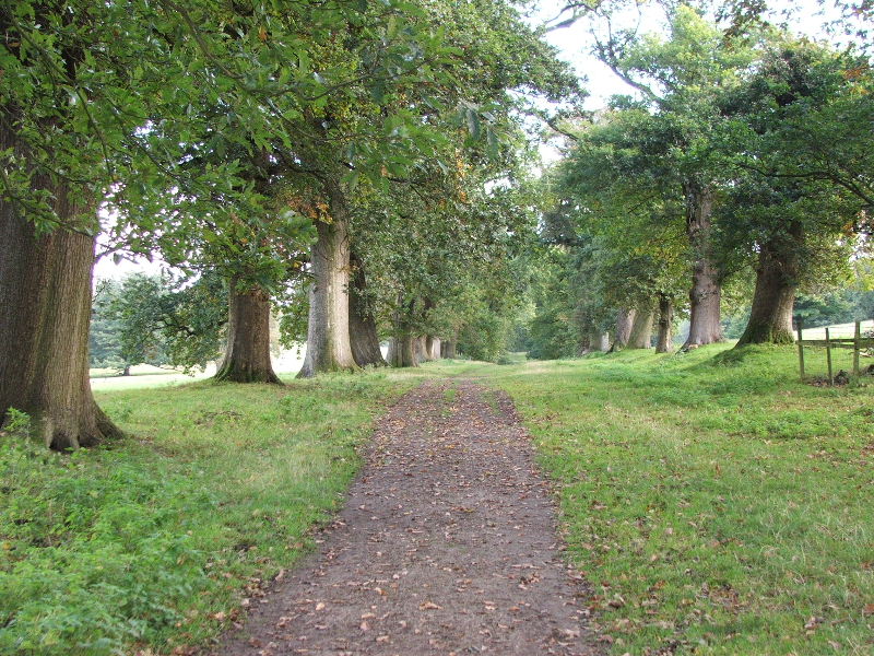
The main path up the eastern side is an avenue between Oak trees. Many of these are the originals dating back to around 1700
This poor chappie was an easy target to photograph as a damaged foreleg impeded his progress
Nearly at the top of the park now. Soon I would have a short walk (500 feet) on tarmac to my next path.
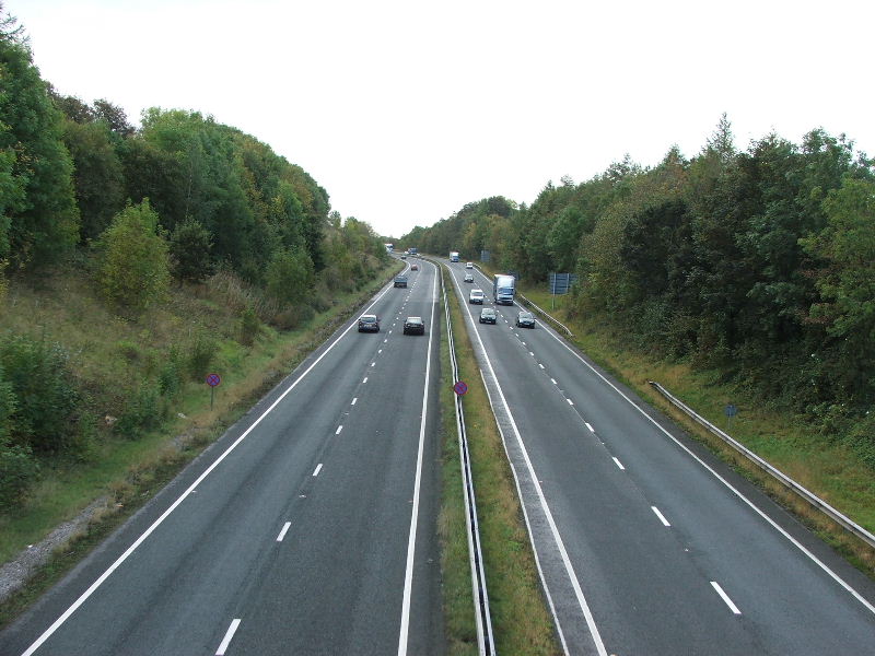
Crossing the A590
And at the other side, my path to Hawes Bridge
Well there's a bridge over the canal
But where's the canal at?........read on dear reader, read on.
Looking back from the bridge in the previous picture there is no sign of the canal. It used to run roughly on the line of the fence.
For those interested in the history of the canal click here. It opens in a new page.
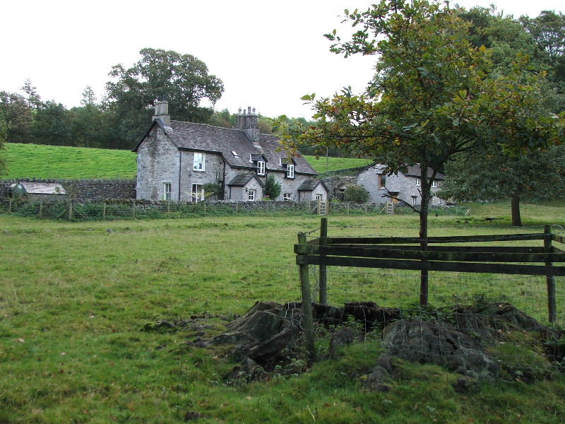
Looking down to Sedgwick House. Built in 1868 for the Wakefield family owners of one of the many gun powder works in Cumbria.
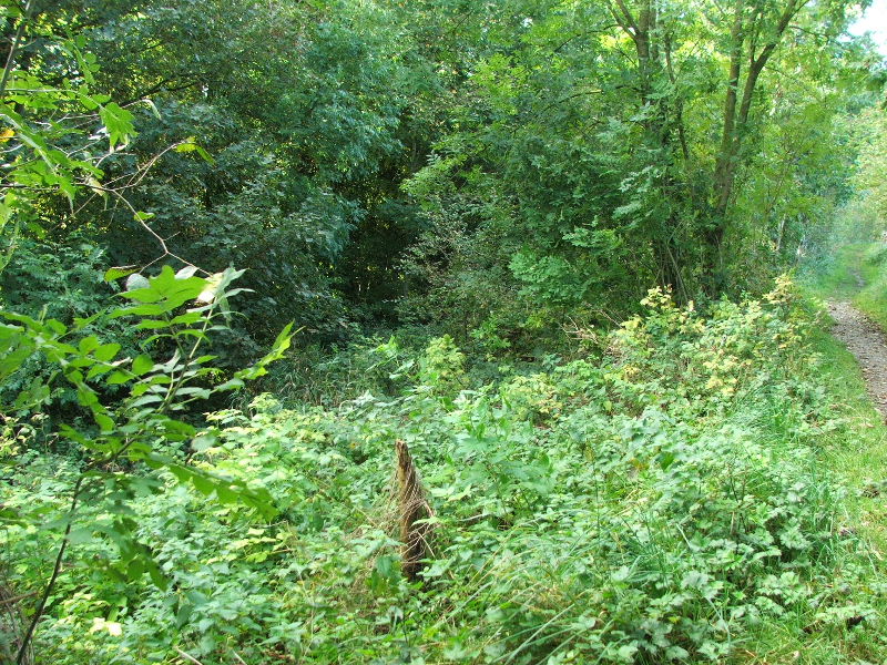
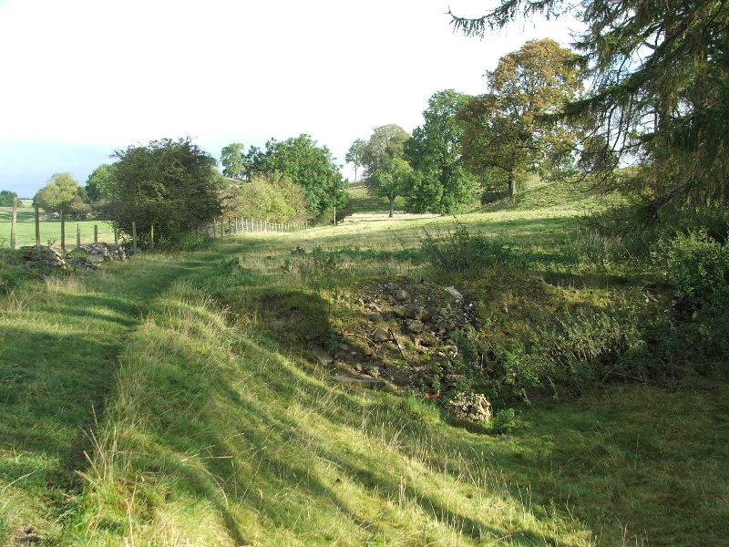
This section of the canal was not infilled but nature as done a fine job in hiding it. You can see the original tow-path to the right which is the path I am using.
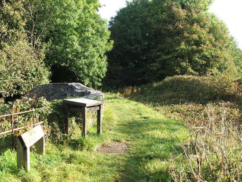
Sedgwick Aqueduct, where the canal crossed the road through the village of Sedgwick.
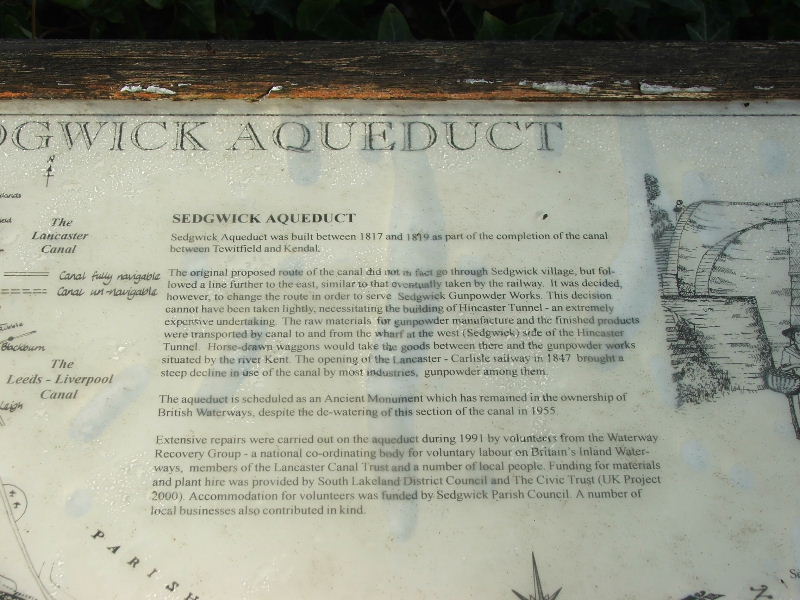
A little information....hope you can read it.
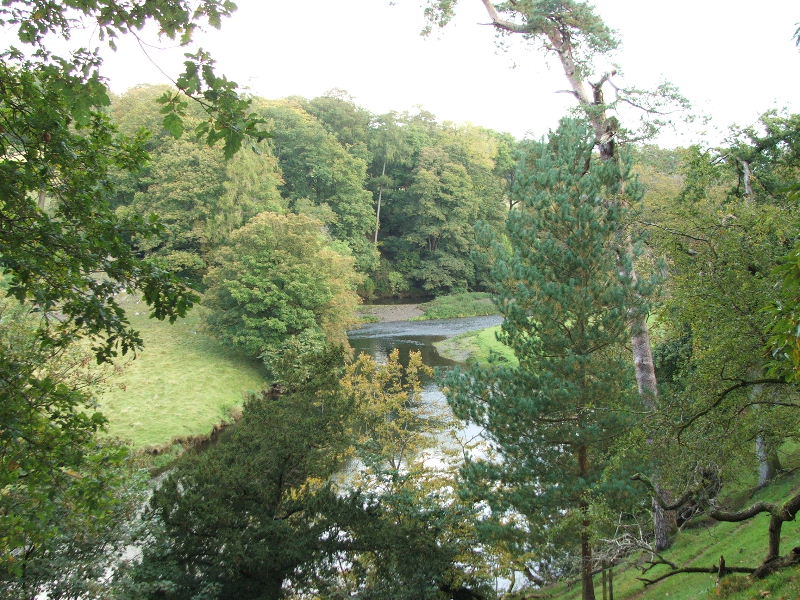
View from Sedgwick Aqueduct
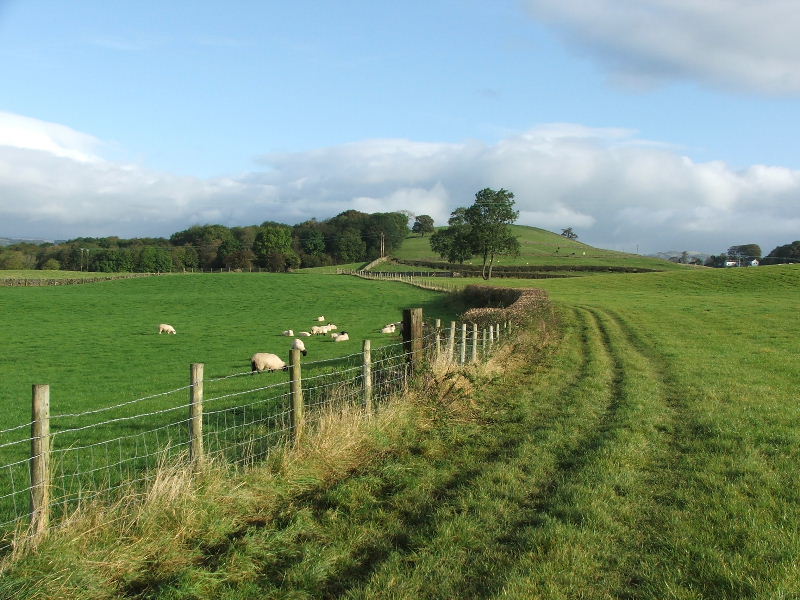
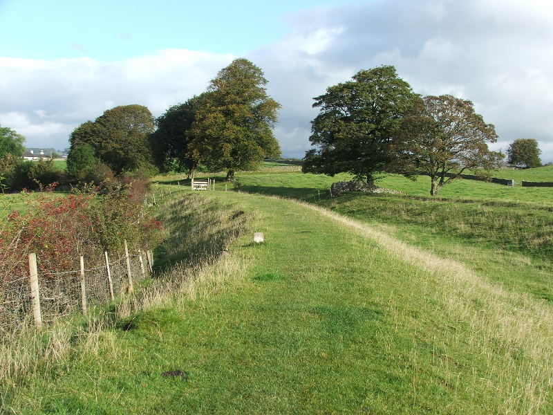
Leaving Sedgwick my path and the old canal follows the track of the fence round to the woods to the left.
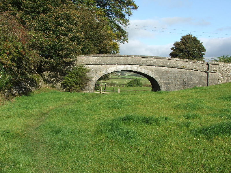
Passing under Horse Park Bridge on the way.
The canal entered the woods to the right of the gate ahead.
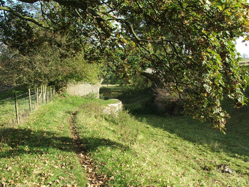
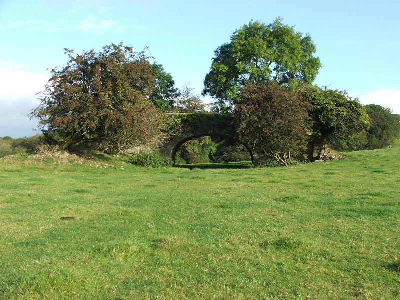
Having passed through the woods where it was heavily overgrown the canal now goes through Larkrigg Hall Bridge.
This picture shows where the canal as been infilled just north of Larkrigg Hall Bridge.
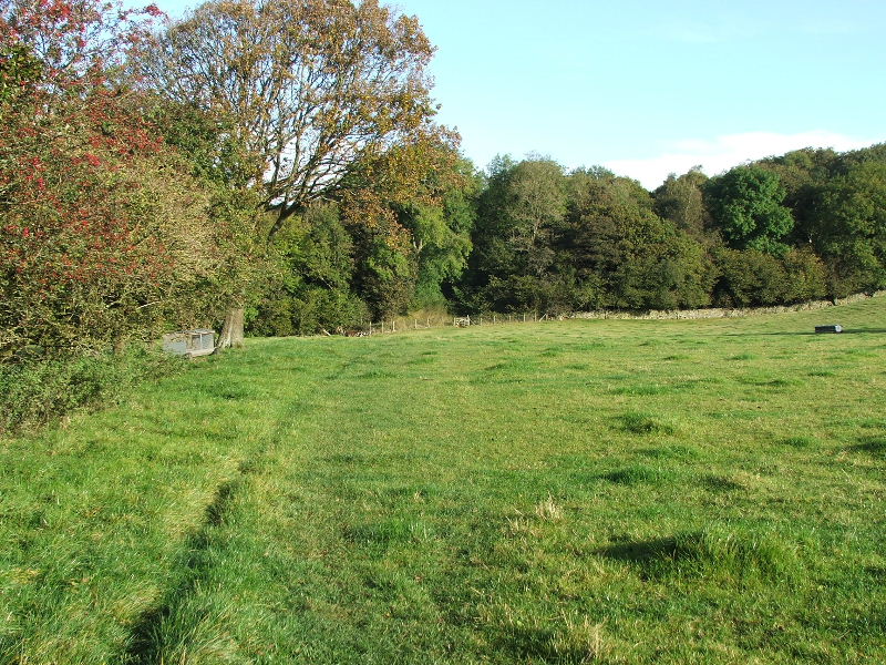
But then a little way further on it as been left to grass over.
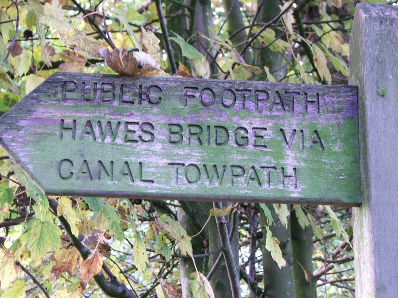
I am now at Crowpark Bridge which is as far as I follow the canal track on this walk. It does carry on for a further 1.75 miles or so into Kendal. Those of you who have visited the old Kay Village outlet in Kendal and used the overspill carpark where parked on it!
From here I left the canal to take a minor road over Crowpark Bridge down to Hawes Bridge.
For Part 2 of this walk click here
Last Walk: 2nd October 2007 -- Yoke, Sallows and Sour Howes from Troutbeck