
This is a walk that we did on the 4th September 2003 from Ingleton to Ingleborough. From the summit we returned via the Hill Inn, Chapel-le-Dale and the Twistleton End of Whernside. As there are over 60 pictures I have done the walk in 2 parts. At the bottom of this page you will see a link which will take you to the second part.
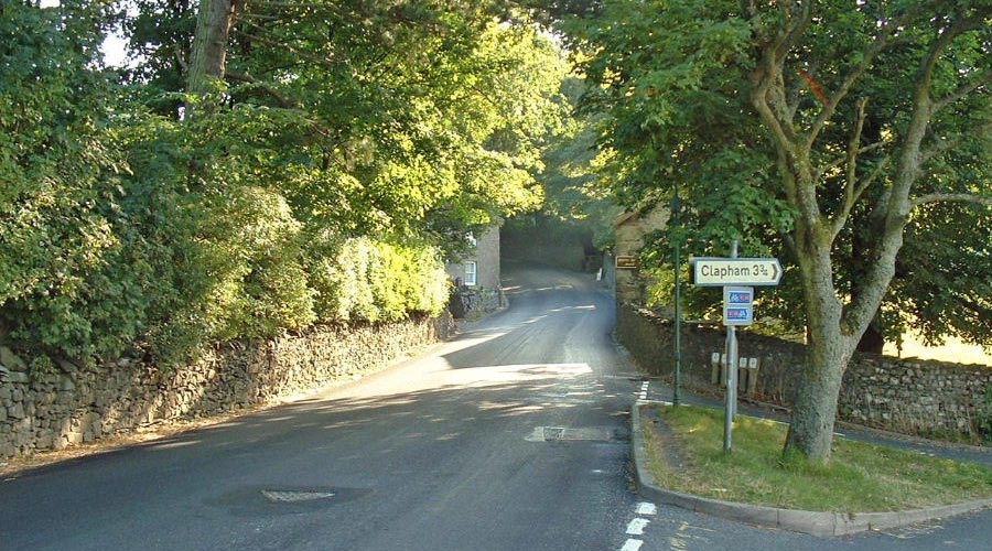
Leaving Ingleborough on the Hawes road.
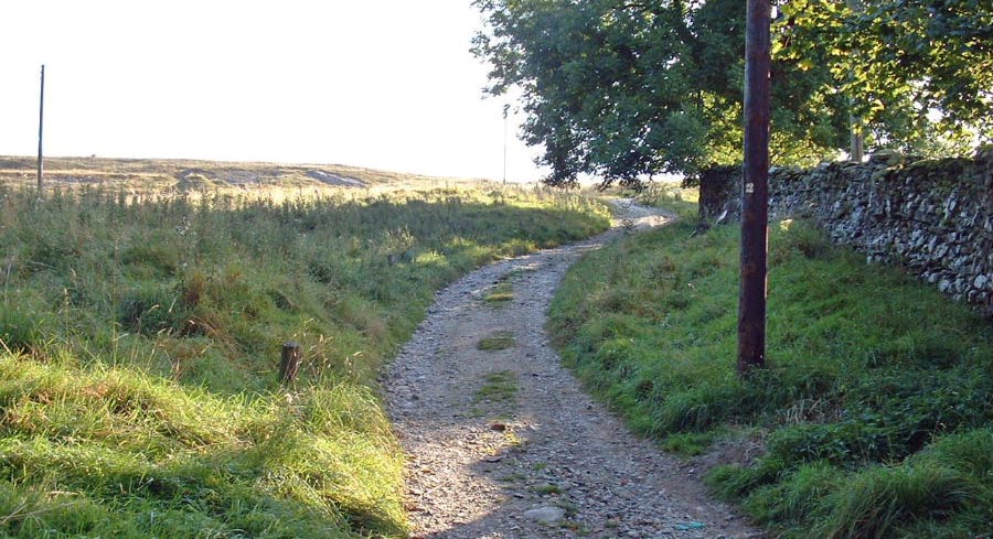
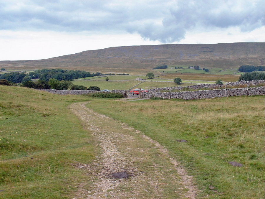
The start of the "Tourist route" up Ingleborough via Crina Bottom
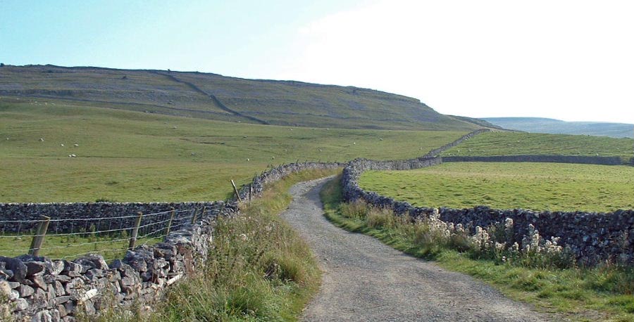
The seemingly neverending Fell Lane with White Scars to the left.
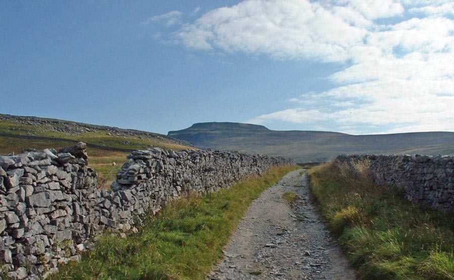
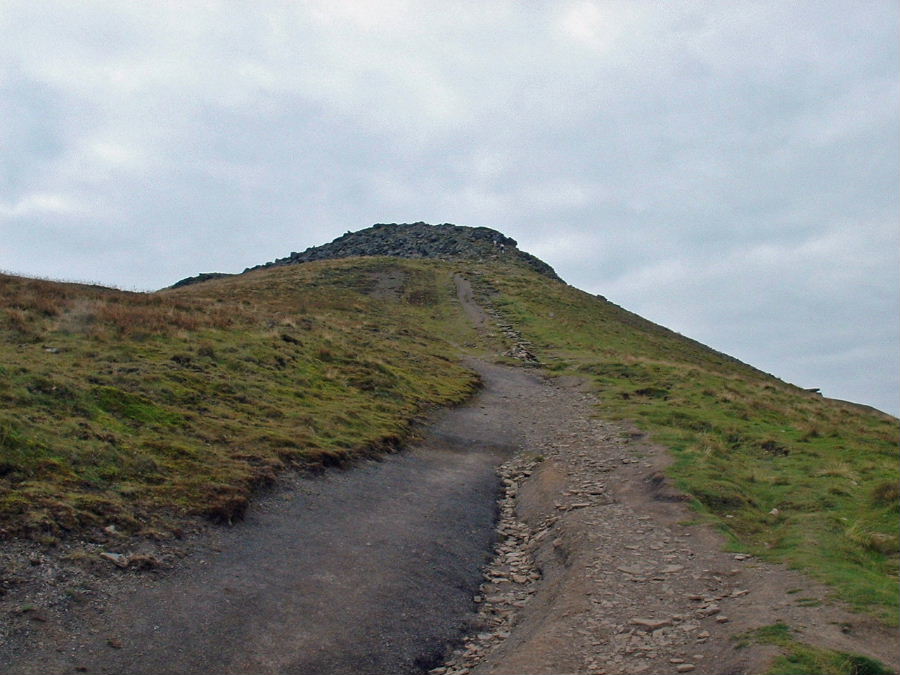
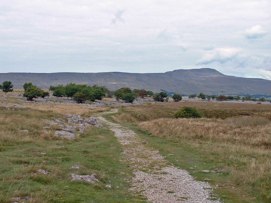
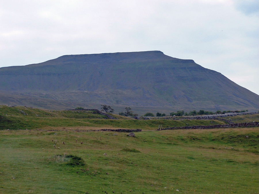
The summit of Ingleborough comes into view
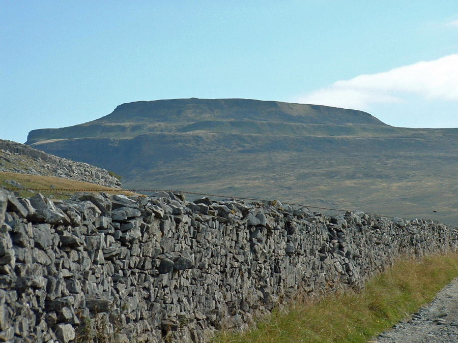
The 3 tiered "wedding cake" summit in close up.
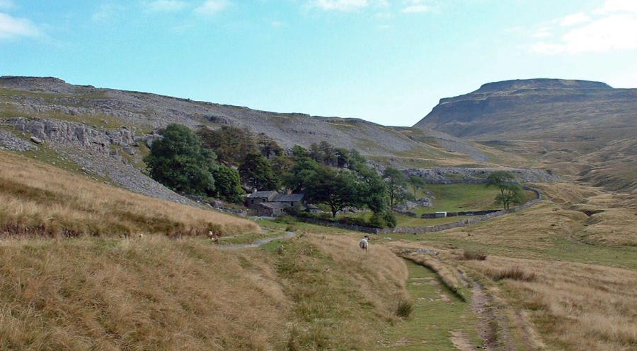
The secluded farm of Crina Bottom comes into view
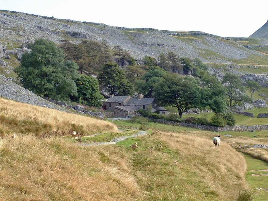
Crina Bottom
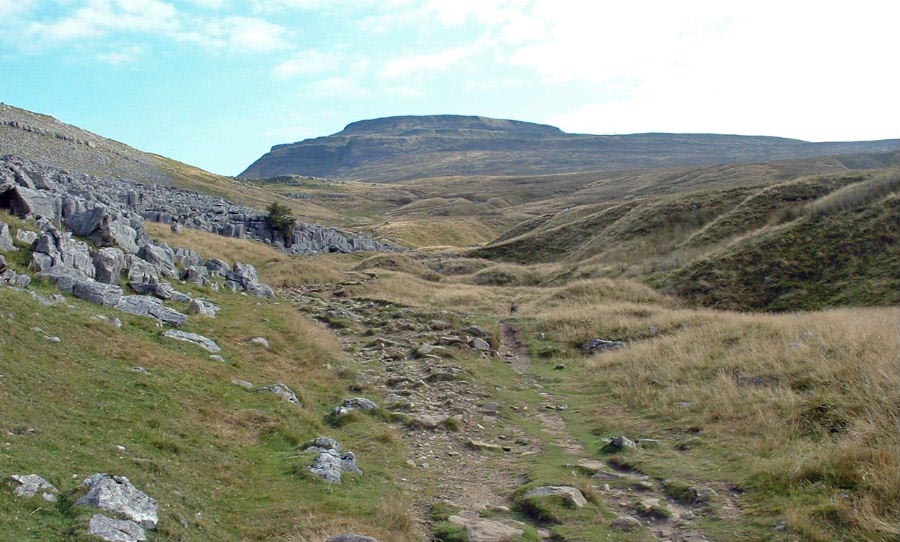
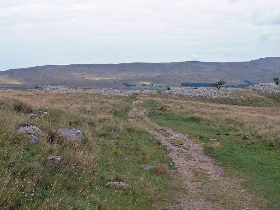
The way ahead
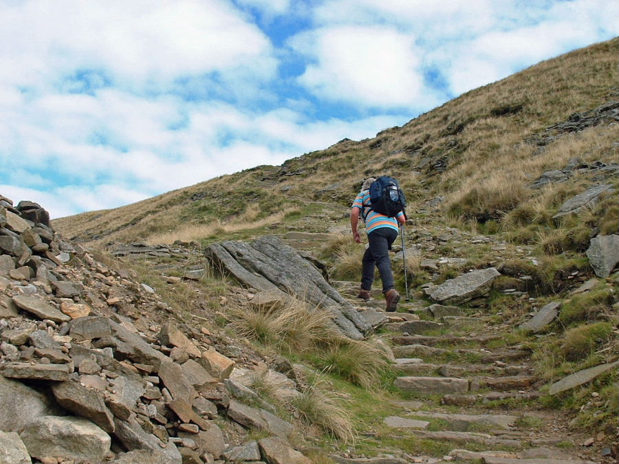
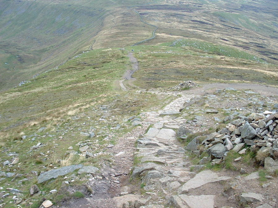
Edith makes her way up the pitched path of the first tier
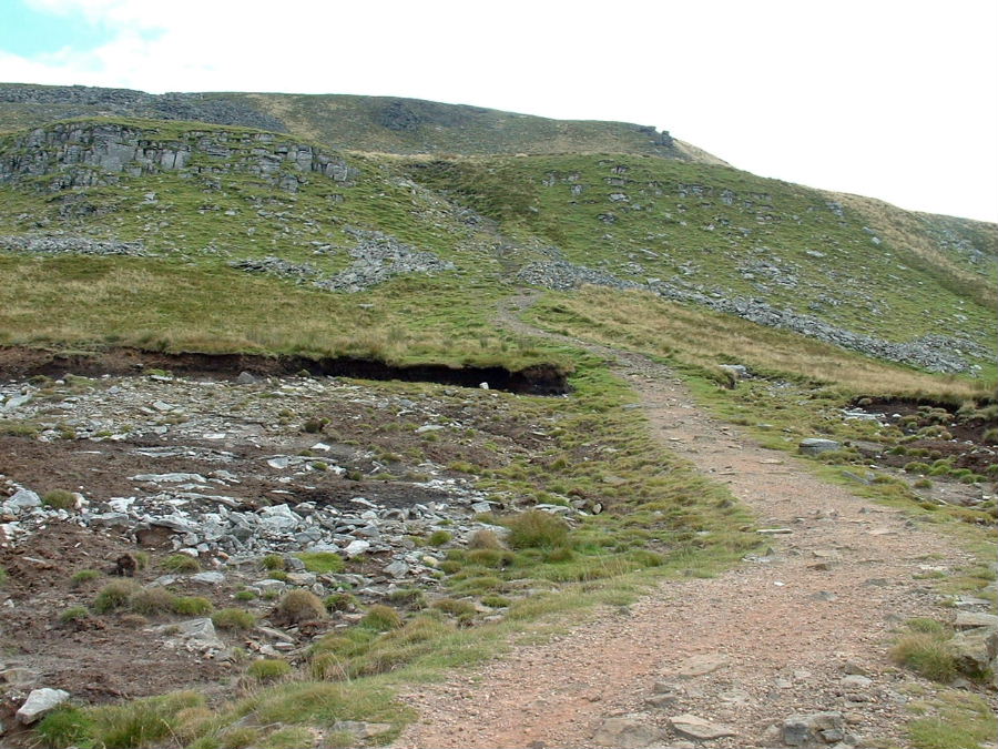
Approaching the second tier
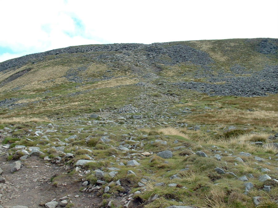
and the third tier
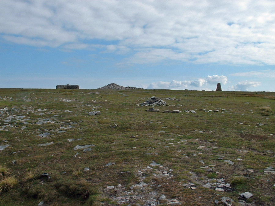
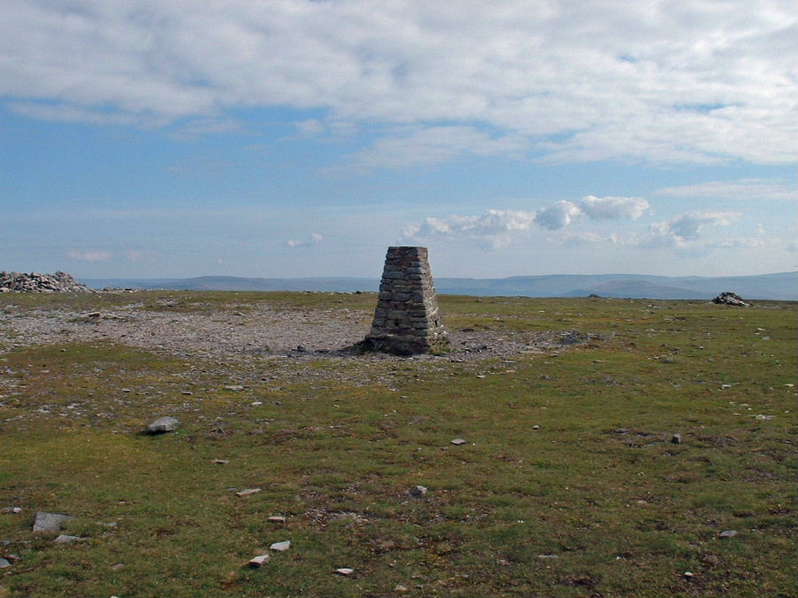
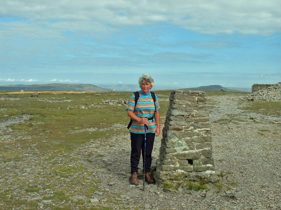
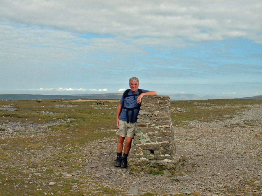
To arrive finally on the summit plateau
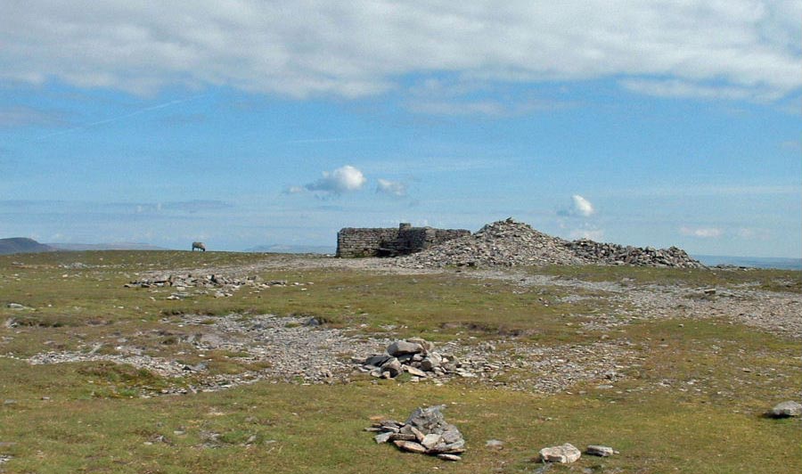
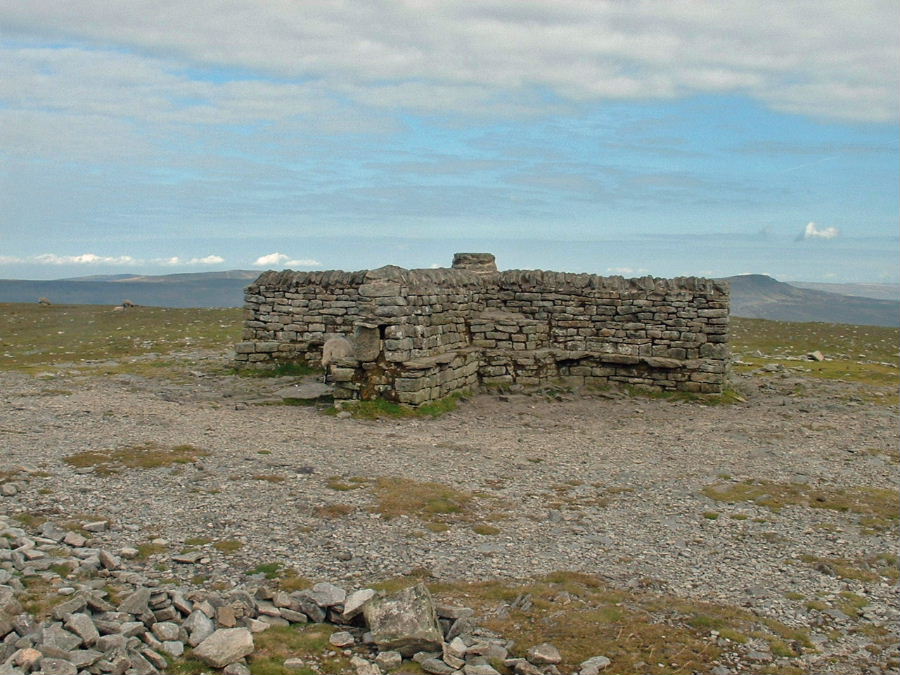
The summit cross shelter was unusually deserted
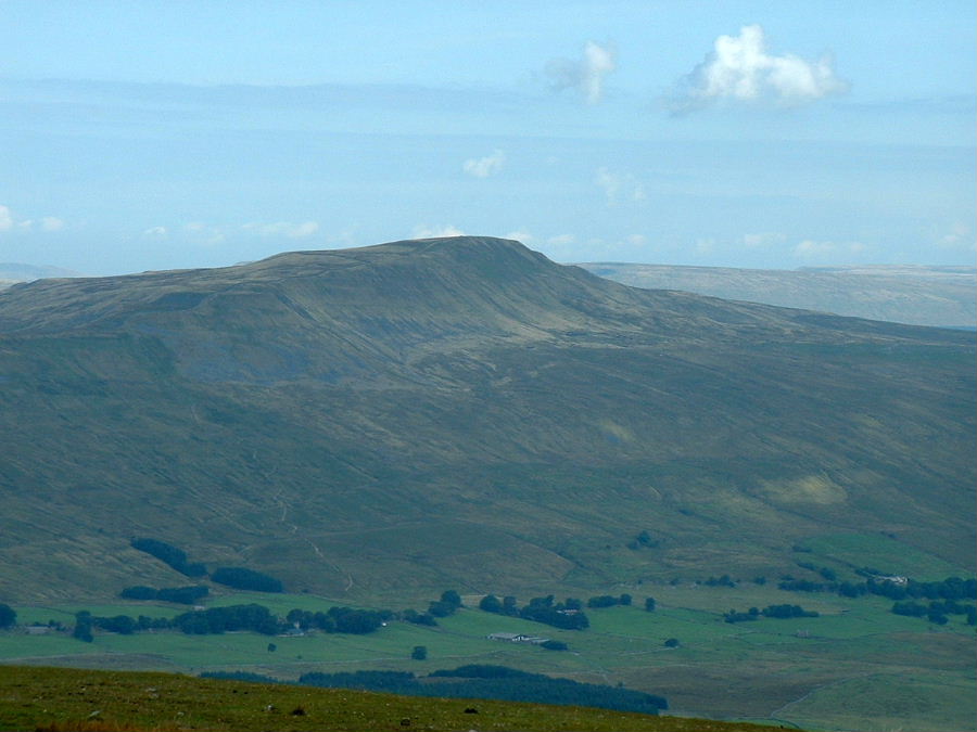
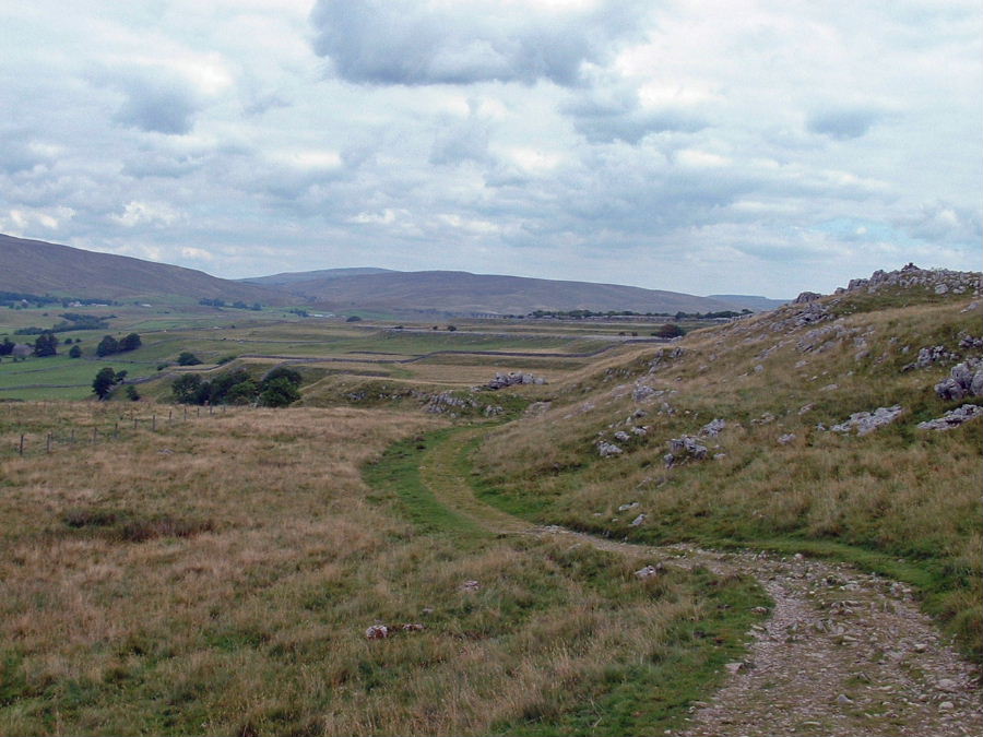
Looking across the valley to Whernside with the scar of the 3 Peaks route left of centre
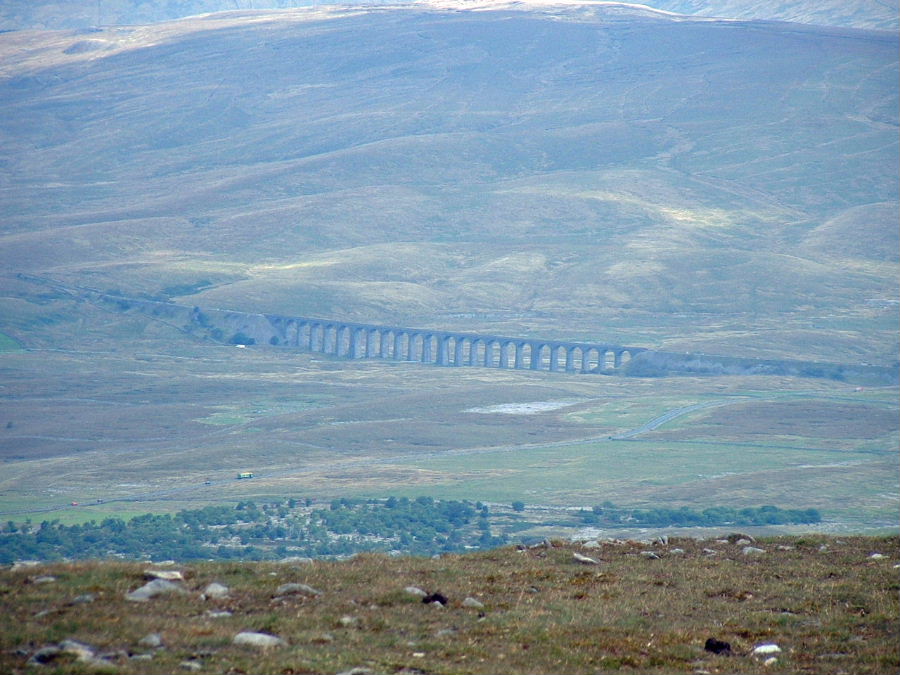
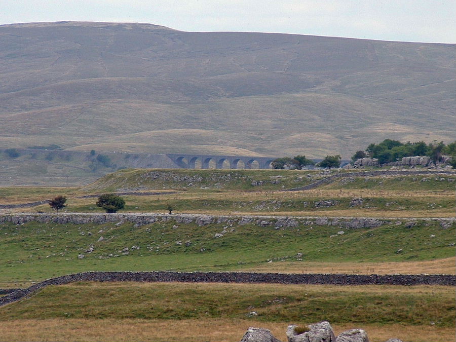
Ribblehead
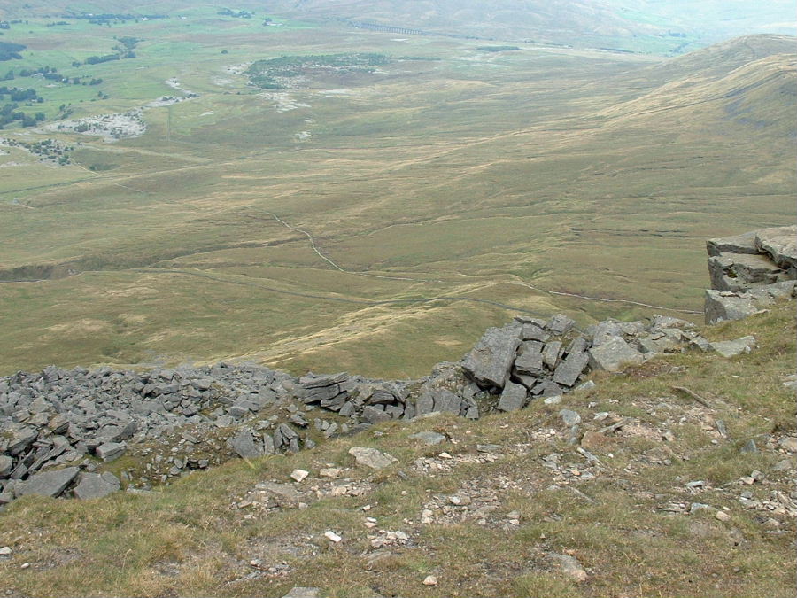
Looking down to Humphrey Bottom with the snaking 3 Peaks path. This would be our way to the Hill Inn.
The path down Swine Tail. This is where I broke my wrist in two places back in the 80's on ice. The drive back to the infirmary at Lancaster that day was painfull at every corner.
A backwards glance up Swine Tail
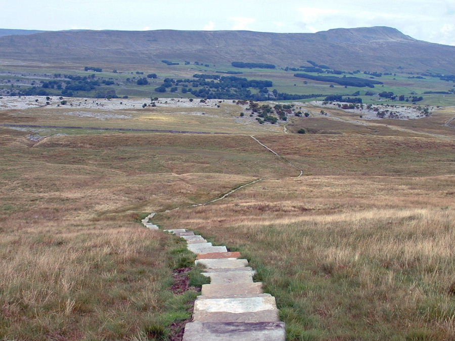
There are many conflicting opinions on paths like these. I remember this path as a 30' wide boggy mess so it is an improvement on that. Maybe the flagstones could have been spaced a little further apart though, like stepping stones.
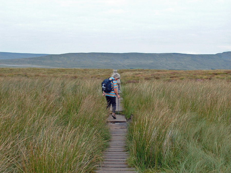
A boardwalk section over a wetter area
Whernside from near Braithwaite Wife Hole, seen on the right of the path

Looking back to Ingleborough
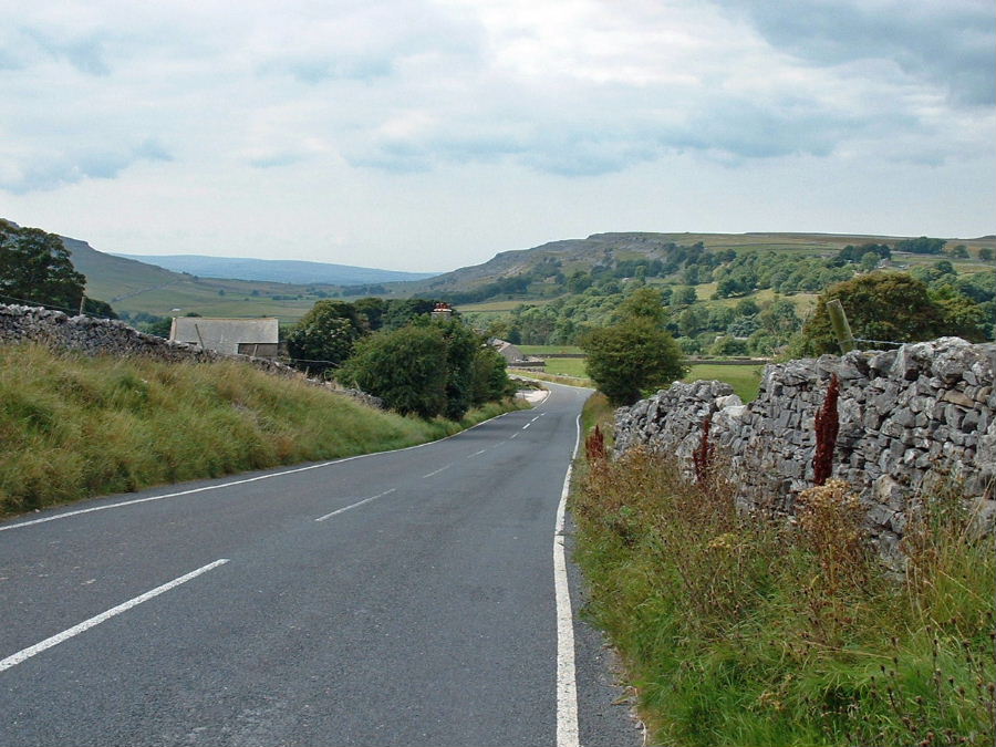
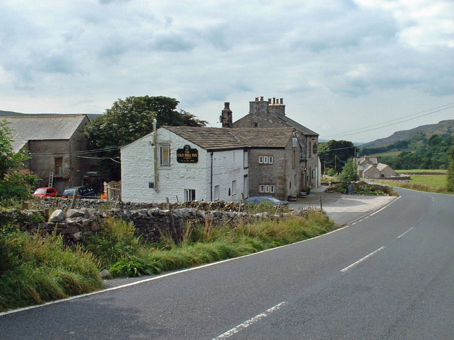
The short walk down the road to the Hill Inn
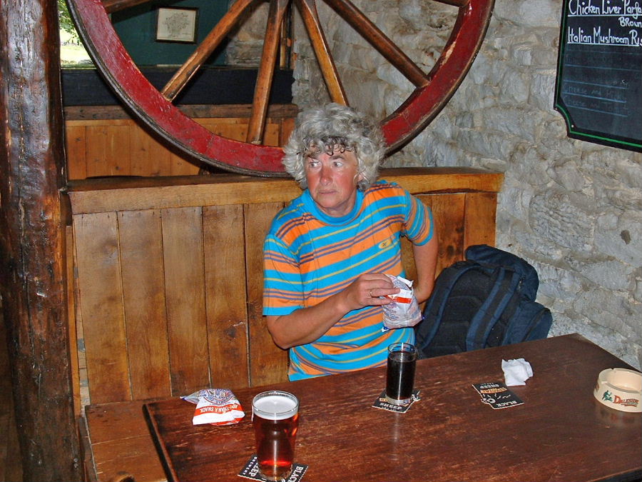
Just one pint.....still got to walk back yet!!!
This is the end of Part 1. For Part 2 click Here