Walk No.20
Bowscale Fell, Bannerdale Crags and Souther Fell
Date: 26th February 2007 Distance: 8.00 miles Ascent: 2318 feet Time: 4h 30m
Weather: Fine and sunny.
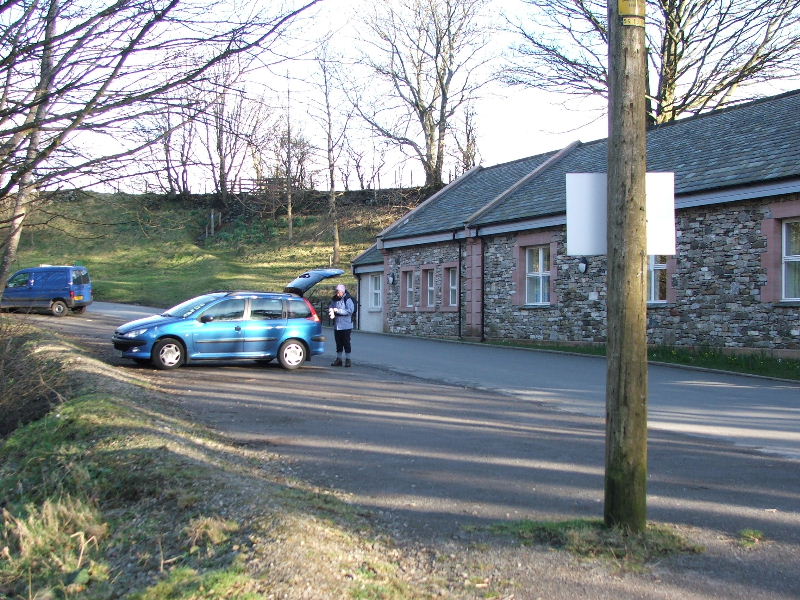
Route: We left the car at Mungrisedale and accessed the fells near the Mill Inn.

The parking space at Mungrisedale. Very handy for a vist to the Mill Inn at the end of the walk.
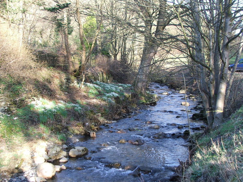
The River Glenderamackin at Mungrisedale
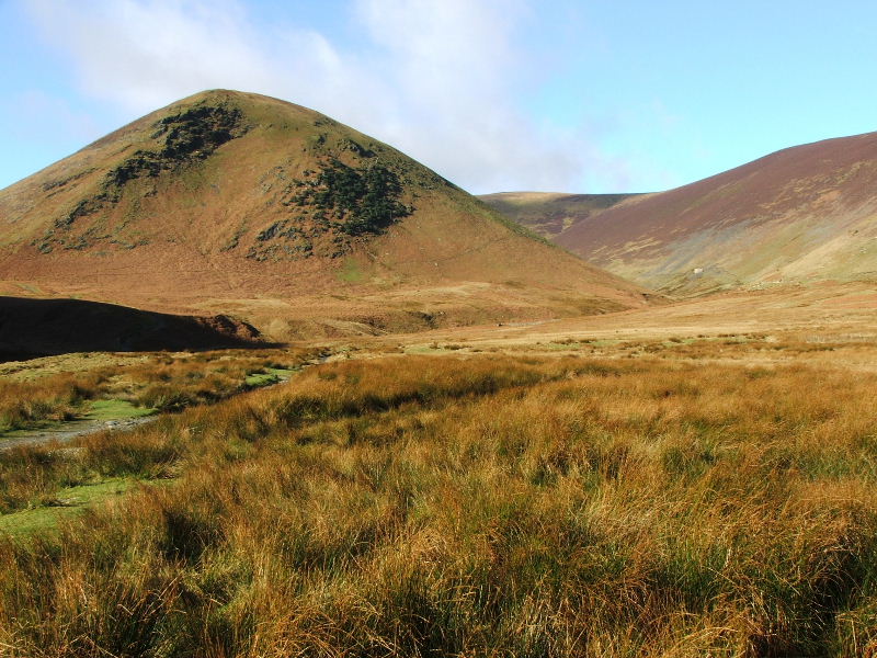
The Tongue of Bowscale Fell. Our path went to the left of this then climbed steadily up its southern flank.
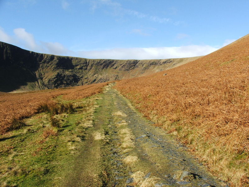
The path rises steadily to reach the ridge further to the right only a short distance from the summit.
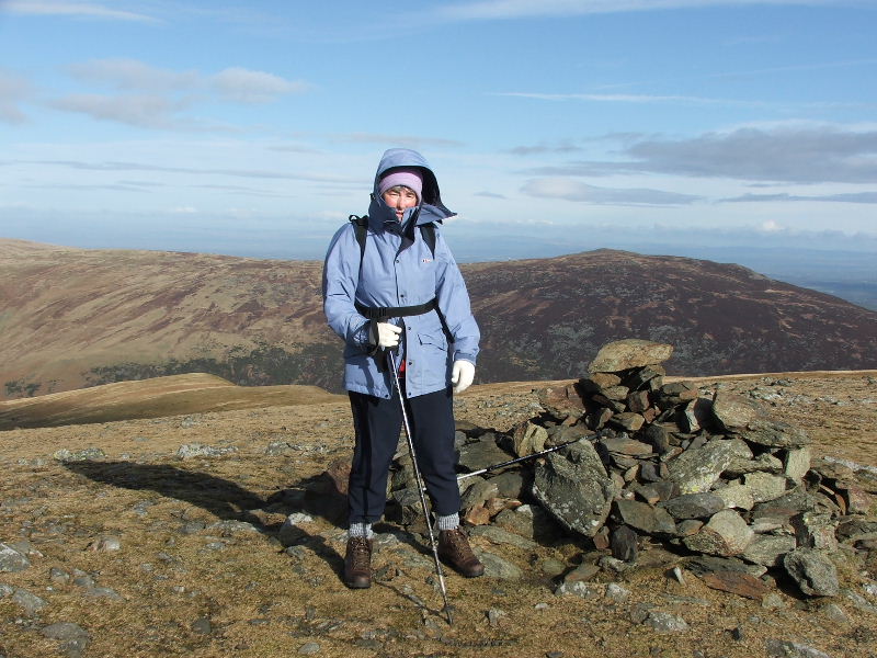
Edith on the summit of Bowscale Fell with Carrock Fell behind.
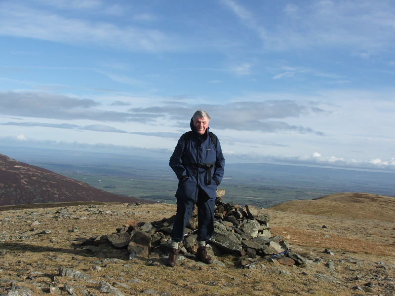
Dave on Bowscale Fell
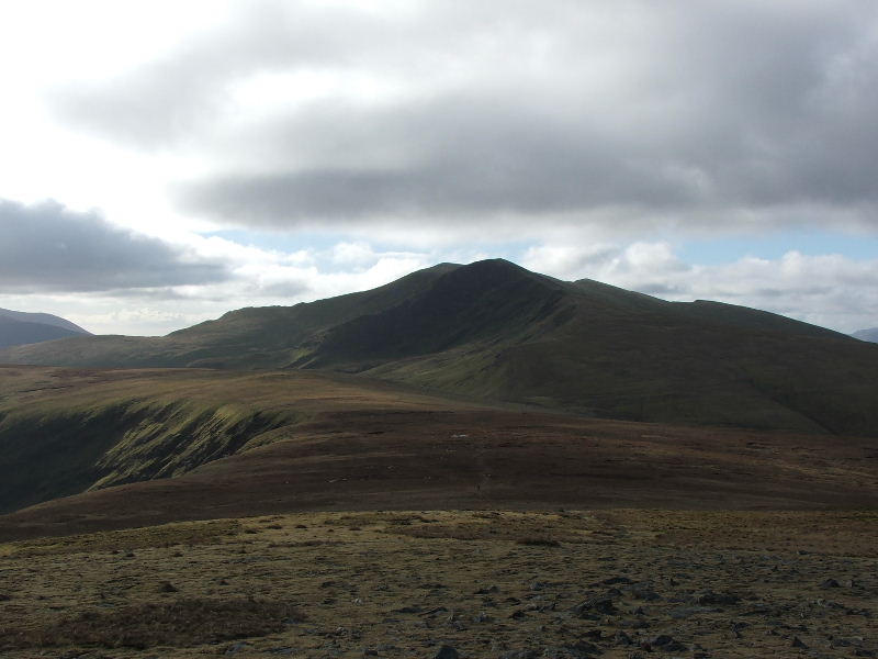
From Bowscale our path went round to the left to Bannerdale Crags. Blencathra in the distance.
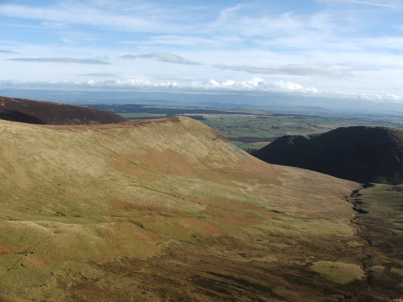
Taken from the path to Bannerdale Crags this shows the Tongue of Bowscale Fell.
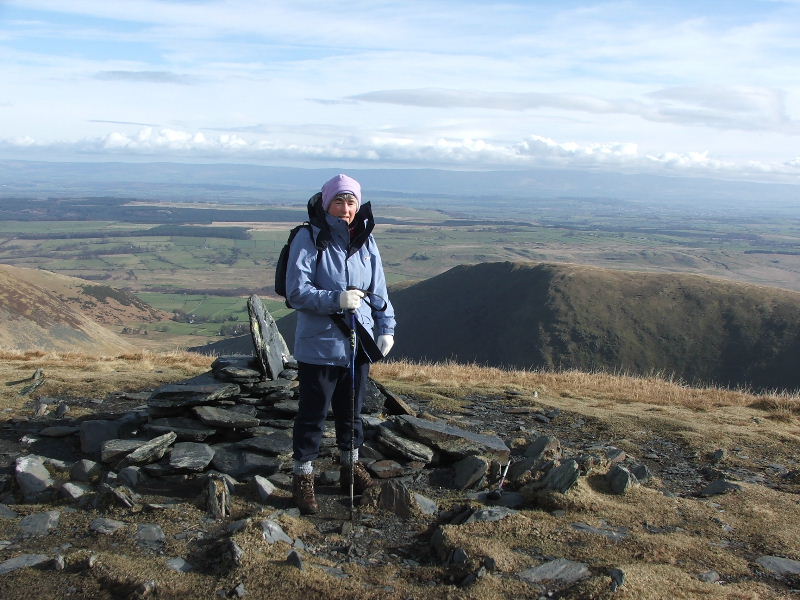
Edith on Bannerdale Crags with Souther Fell behind
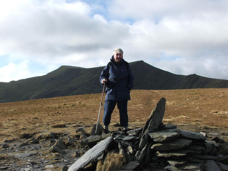
Dave on Bannerdale Crags with Blencathra behind. From here we made our way to the Glenderamackin col and took the path down the valley before diverting to the summit of Souther Fell.
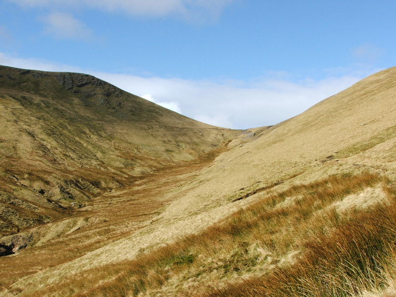
Looking back to the Glenderamackin col from our path
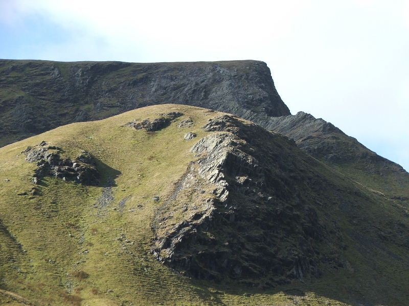
Sharp Edge from our path
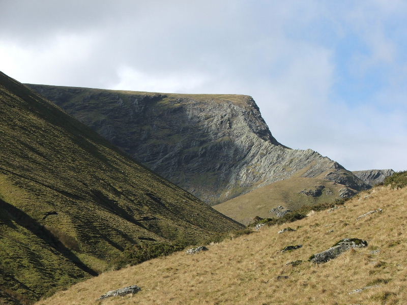
Another view of Sharp Edge. Look carefully and you can see somebody on it.
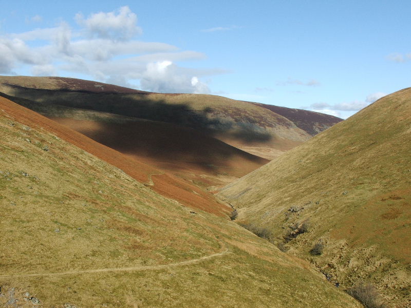
The path you see is the one we descended from the Glenderamackin col from. We had left it to the left to cross the River Glenderamackin and take a path to Souther Fell
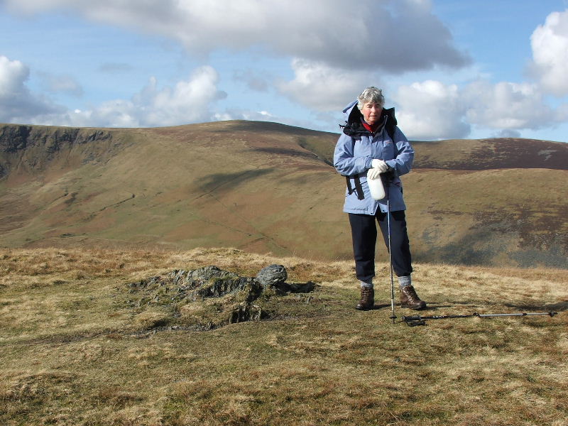
Edith on Souther Fell with Bowscale Fell behind
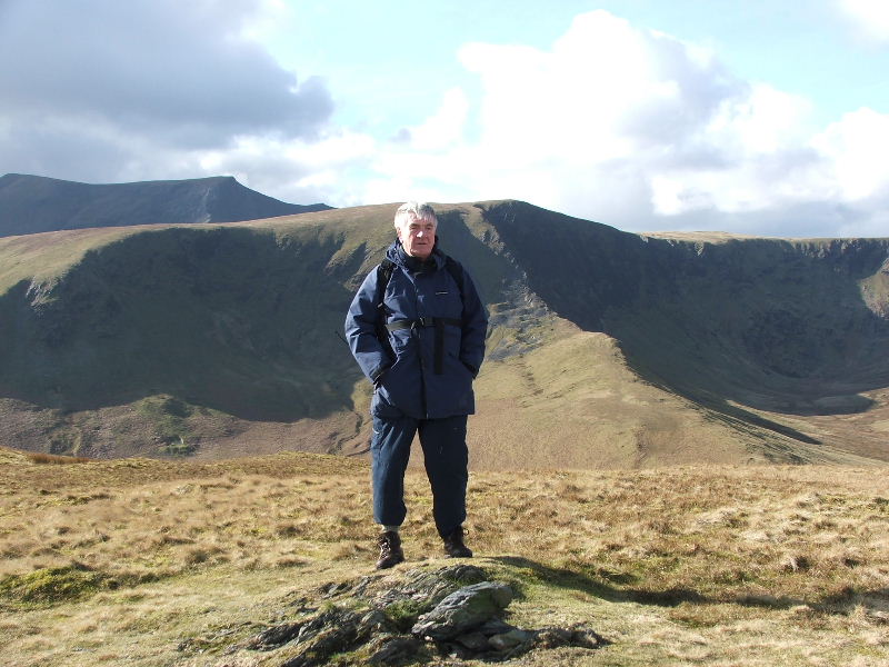
Dave on Souther Fell with Bannerdale Crags behind. From here we made our way down the eastern falnk to pick up a path down.
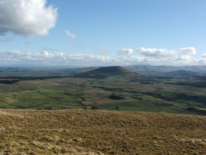
Great Mell Fell from the descent of Souther Fell
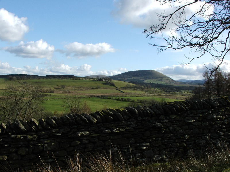
We descended on to a minor road which led us back to Mungrisdale
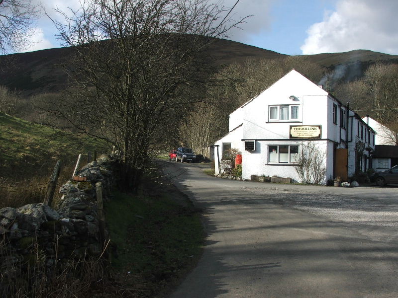
and for a welcome drink in the Mill Inn
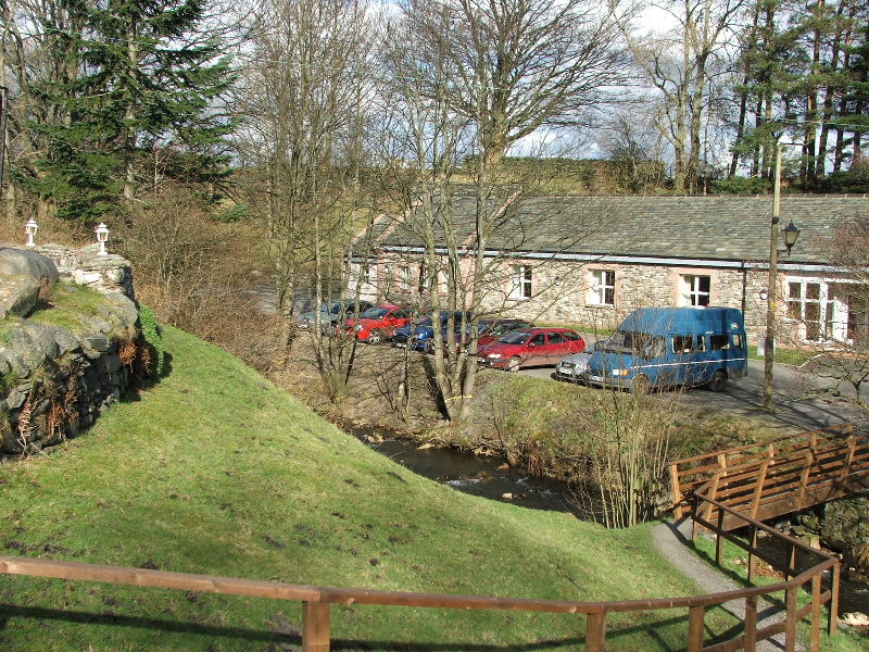
and finally back to the car.
Next Walk: 24th March 2007 -- Ard Crags and Knott Rigg from Rowling End farm
Last Walk: 19th February 2007 -- Tarn Crag and Blea Rigg from Grasmere