
| Area | Yorkshire Dales | Ascent: | 1794 feet |
| Walk No: | 45 | Time: | 4 hours 15 minutes |
| Date: | 18th July 2007 | Parking: | On the roadside near the Old Hill Inn |
| Distance: | 9.25 miles | Weather: | Very heavy rain during the ascent of Ingleborough then showers after. |
| Route: | Hill Inn - Ingleborough - Park Fell - Gauber - Ribblehead - Hill Inn |
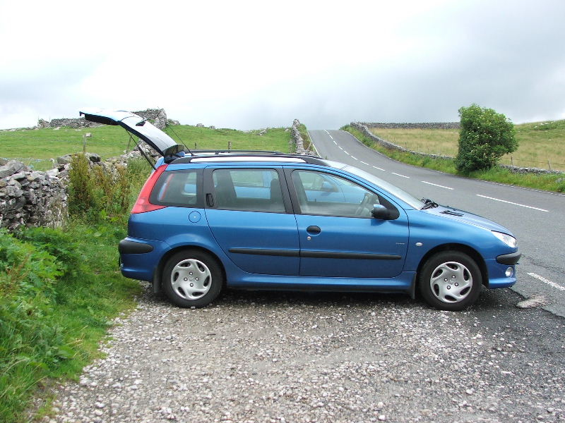
I left the car at the roadside near to the Old Hill Inn on the Ingleton to Hawes road
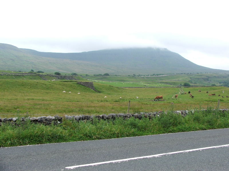
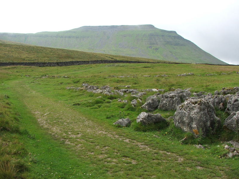
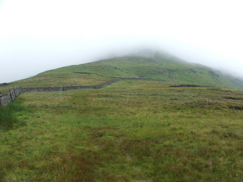
Ingleborough from the car with its head in the clouds
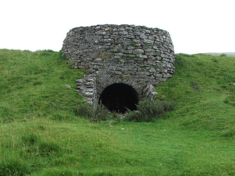
Near the start you pass by this old kiln
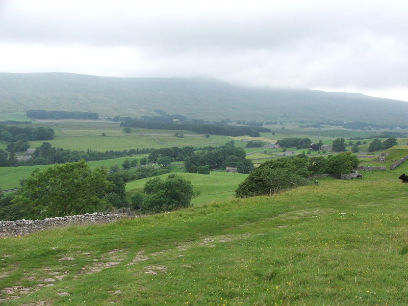
Looking back down my route and across to Whernside
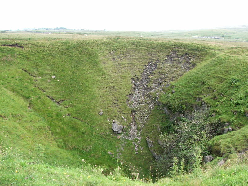
"Braithwaite Wife Hole".....A pre-glacial sink hole
Ingleborough from the sink hole. By the time I had taken these pictures and walked to the stile over the wall the weather completely changed
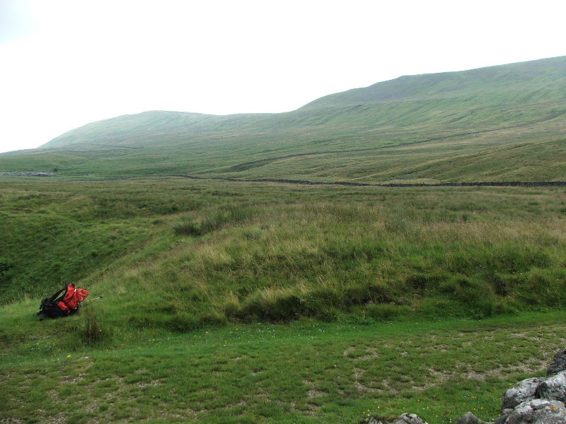
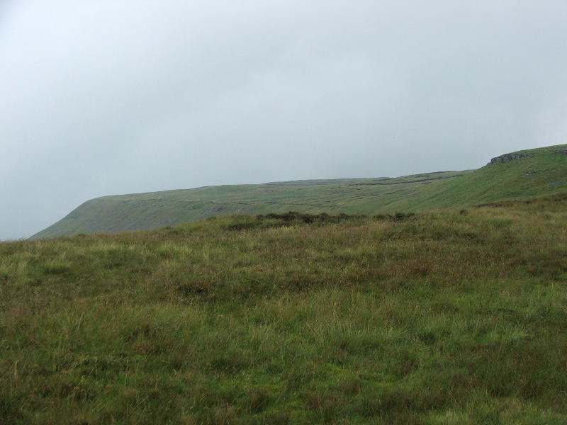
The North Eastern ridge of Ingleborough with Park Fell on the left. This would be my descent route later.
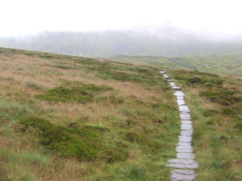
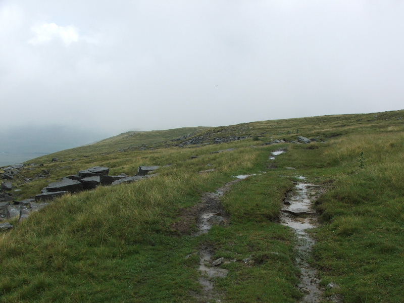
As previously said by the time I reached the wall the weather just got worse. I manged to get this quick picture of the flagstoned path before the heavens opened making it impossible to get the camera out again until after I had left the summit of Ingleborough.
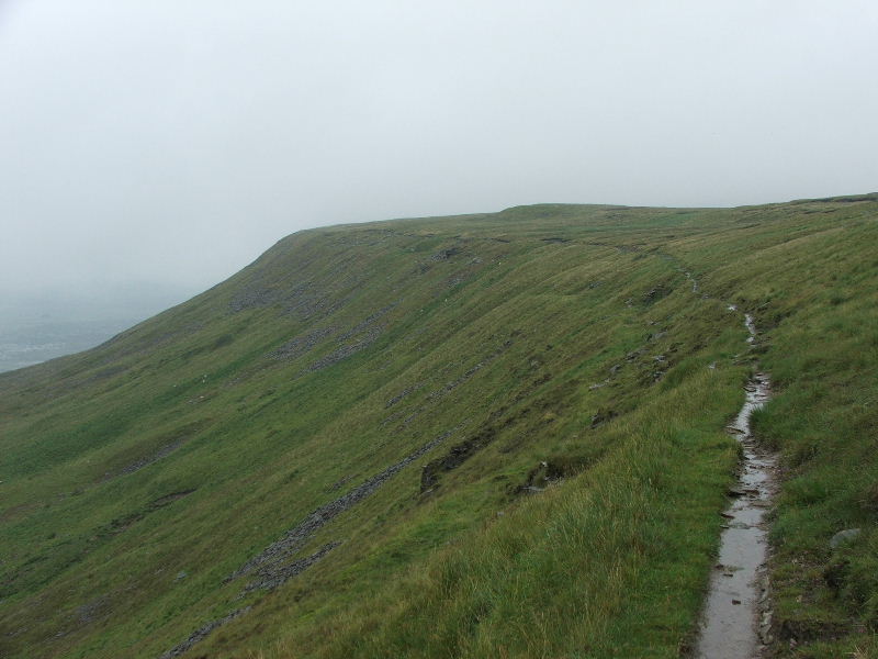
After leaving the summit of Ingleborough heading N'wards I took a path which follows the edge of the ridge towards Park Fell. At this point the weather changed from a torrential deluge to intermittent showers. This is the view back to Ingleborough.
and ahead along the edge of the ridge
This path along the edge is usually a delight to walk, today care had to be taken as everything was so slippy
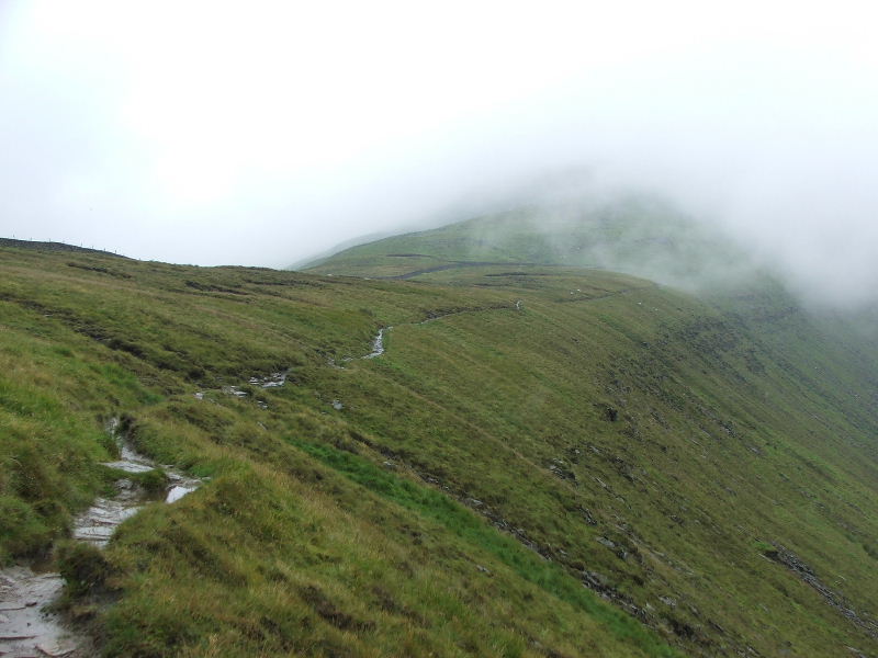
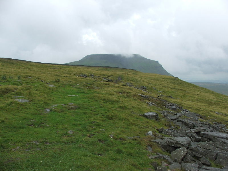
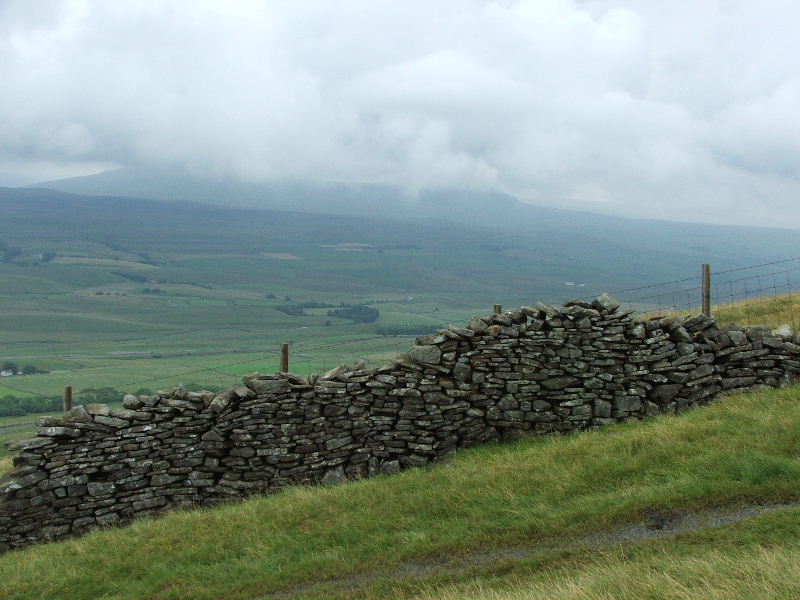
Another look back towards Ingleborough but it was still playing shy.
What can I say!......a rather wet path
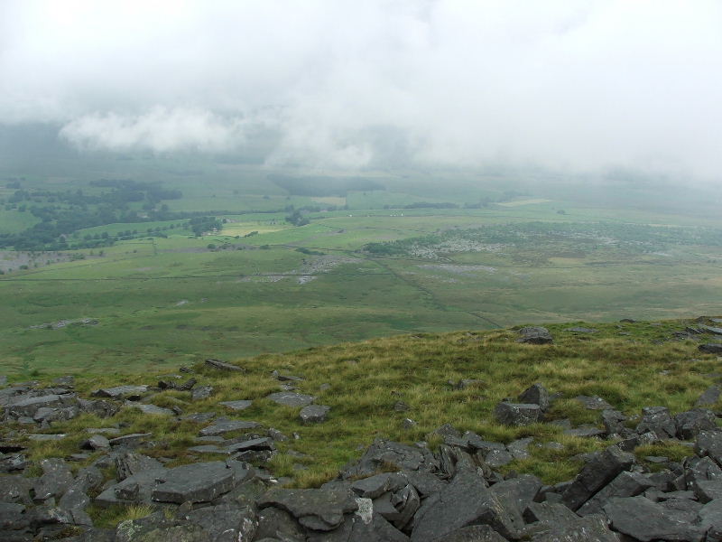
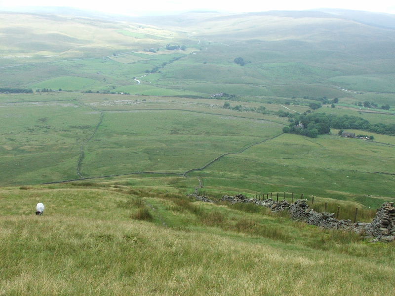
As the showers passed it was possible to get a bit of a view. Looking down to the Old Hill Inn. The white dots mid picture are vans parked near my car so someone else must be as daft as me!
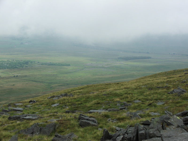
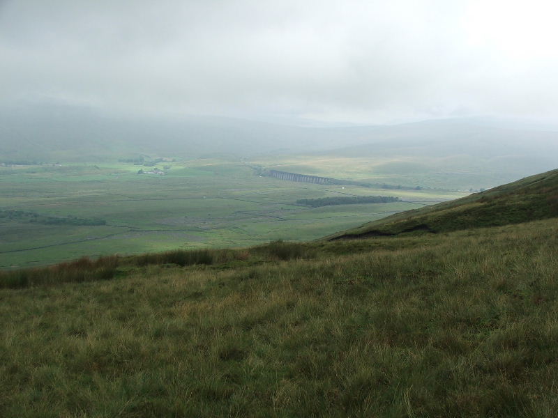
Ribblehead appears out of the murk.
and Ingleborough makes an albeit brief appearance
From further along the path a glimpse of sun in the valley. I thought at this point that the day was going to improve.......silly me!
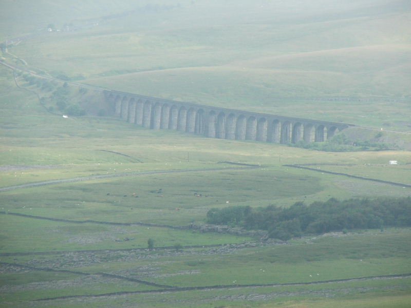
A closeup of the Ribblehead viaduct
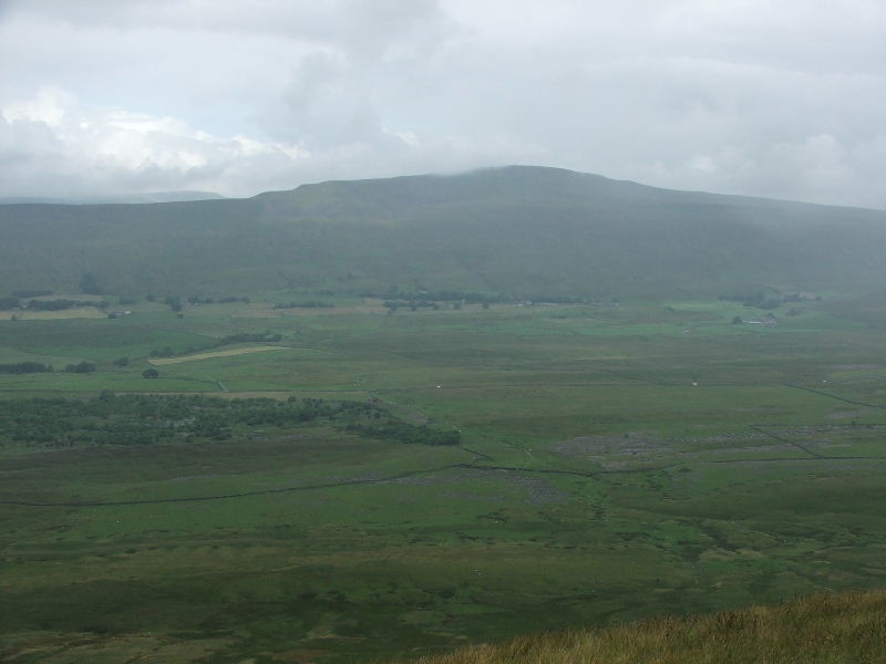
Whernside across the valley makes an appearance
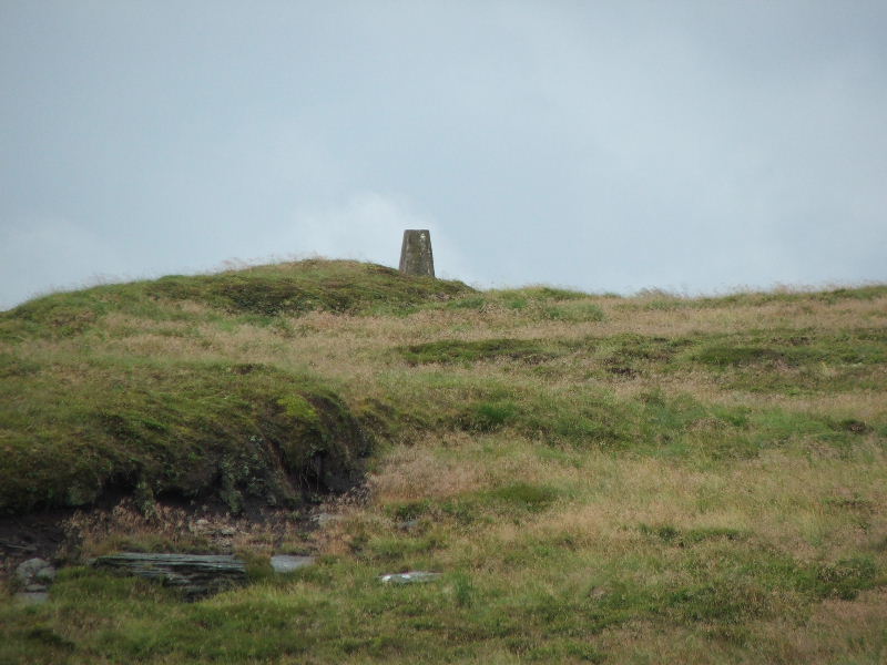
The summit Trig point on Park Fell and not much else
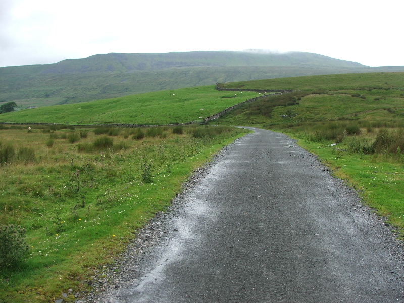
The route down from Park Fell to Gauber
From the descent to Gauber Pen-y-ghent is still shrouded in cloud
A touch of sun lights up Blea Moor
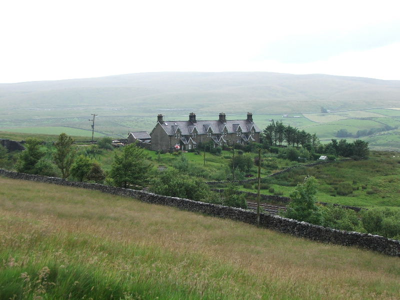
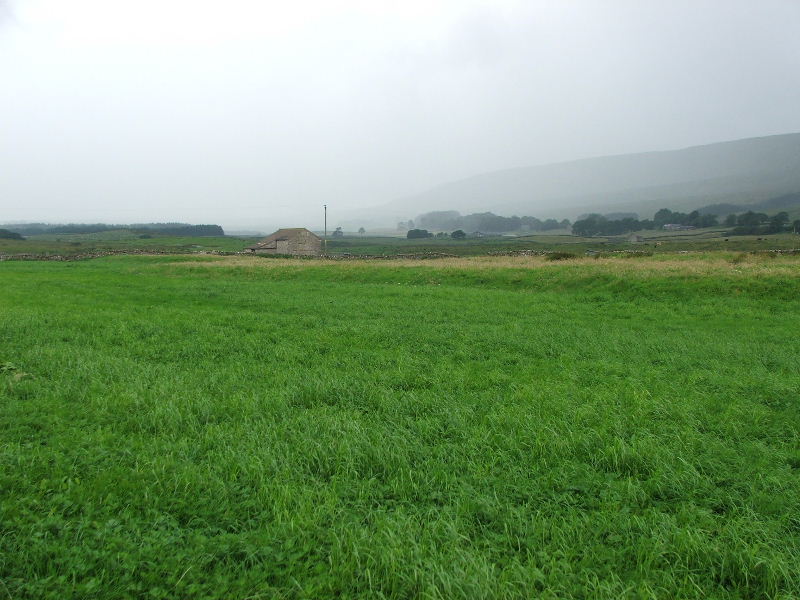
The old railway cottages at Gauber. The railway lines are just visible behind the nearest wall. From the cottages I walked along the road to Ribblehead
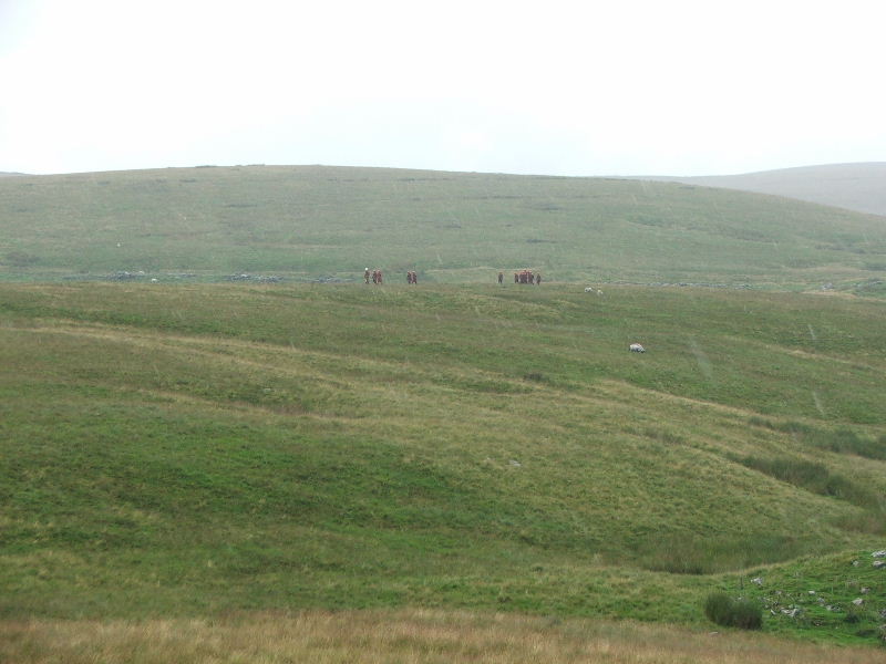
It had been my intention to visit the "Butty Bar" at Ribblehead for a warm cuppa but as I approached it the heavens opened again. I just managed a couple of quick pictures before going under the viaduct for shelter. This is a group of young ladies, maybe last year primary or first year secondary school who had been visiting the caves nearby.
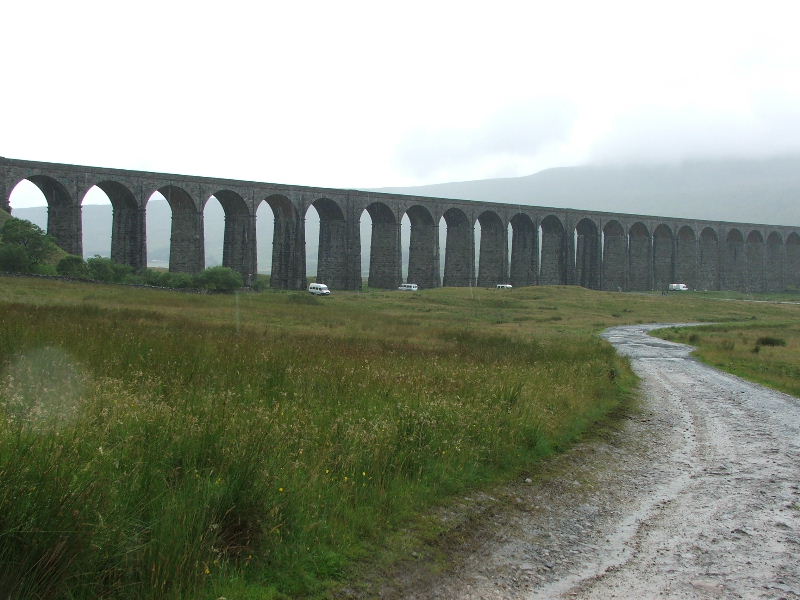
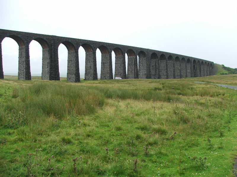
Ribblehead viaduct
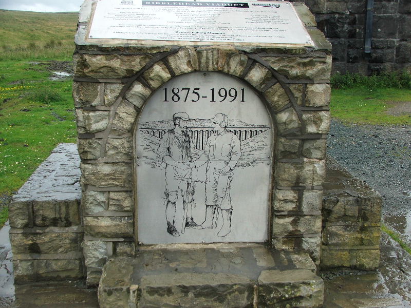
Built between 1870-1875 and renovated in 1991
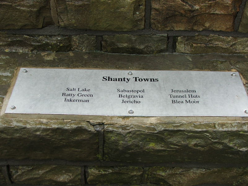
The names of the Shanty Towns that sprung up at the time of buiding the viaduct and Blea Moor Tunnel
After the rain had passed I made my way back to the car using the farm roads. This picture is taken from the other side to the previous one
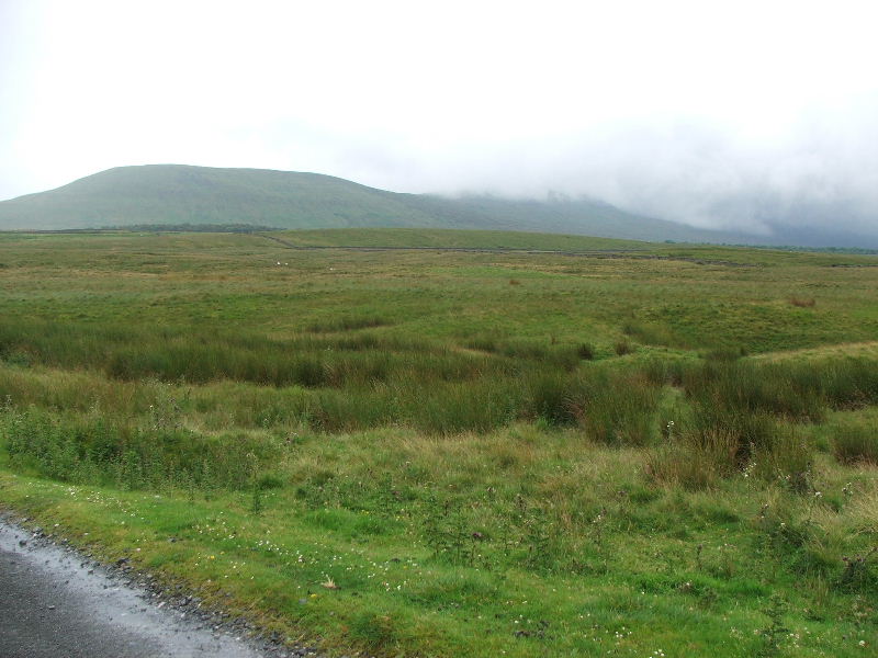
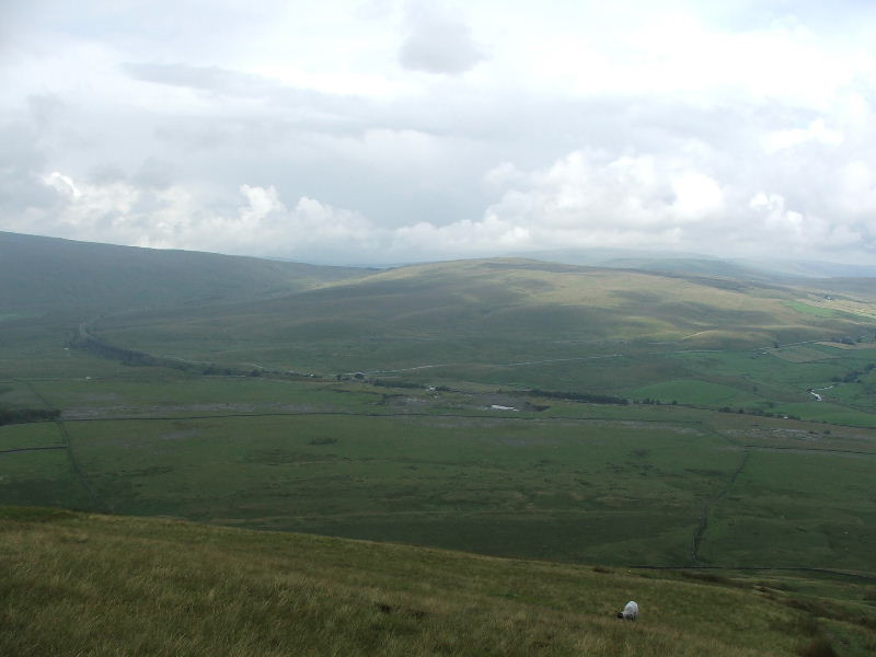
Park Fell with Ingleborough hiding again
Whernside from the same place
Within a few minutes another heavy shower was approaching. This turned out to be the final picture as the rain continued all the way back to the car.
Next Walk: 20th July 2007 -- Loughrigg Fell from Clappersgate
Last Walk: 15th July 2007 -- Raven Crag from the Thirlmere dam