| Area | Lake District | Ascent: | 1595 feet |
| Walk No: | 46 | Time: | 3 hours 30 minutes |
| Date: | 20th July 2007 | Parking: | Near the River Brathay over Brathay Bridge at Clappersgate |
| Distance: | 7.25 miles | Weather: | Overcast and mostly dull |
| Route: | Clappersgate - Todd Crag - Loughrigg Fell - Red Bank - Loughrigg Tarn - Skelwith Bridge - Skelwith Fold - Clappersgate |
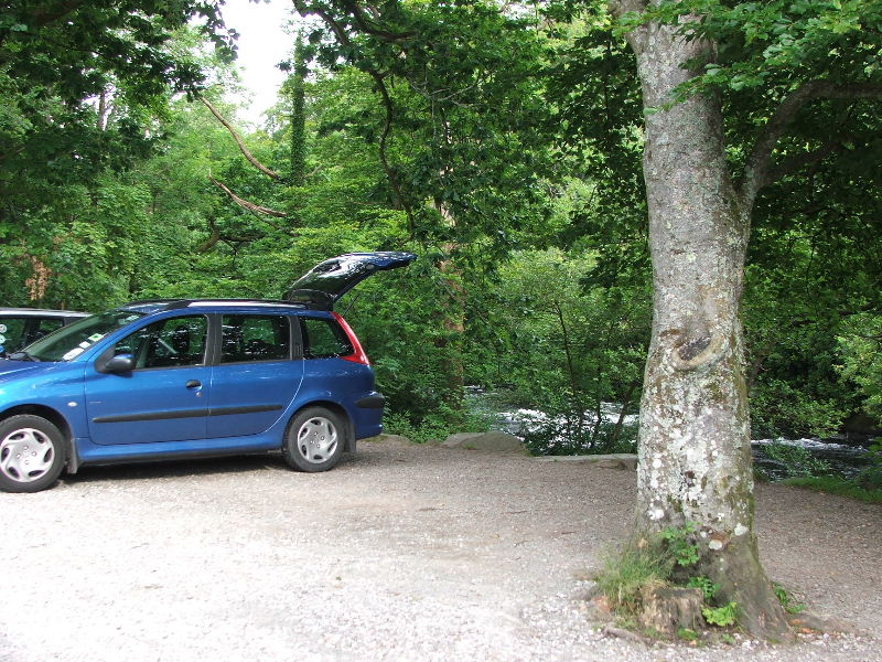
I was by myself again today as Edith was still a bit under the weather. I left the car near the River Brathay just over Brathay Bridge at Clappersgate.
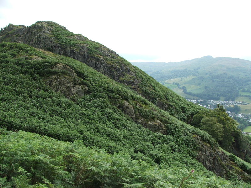
I took the path up from Clappersgate through high bracken. At this point I am approaching Todd Crag with Wansfell in the distance.
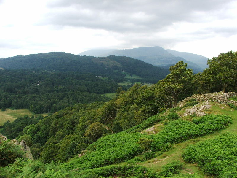
Looking towards the Coniston Fells.
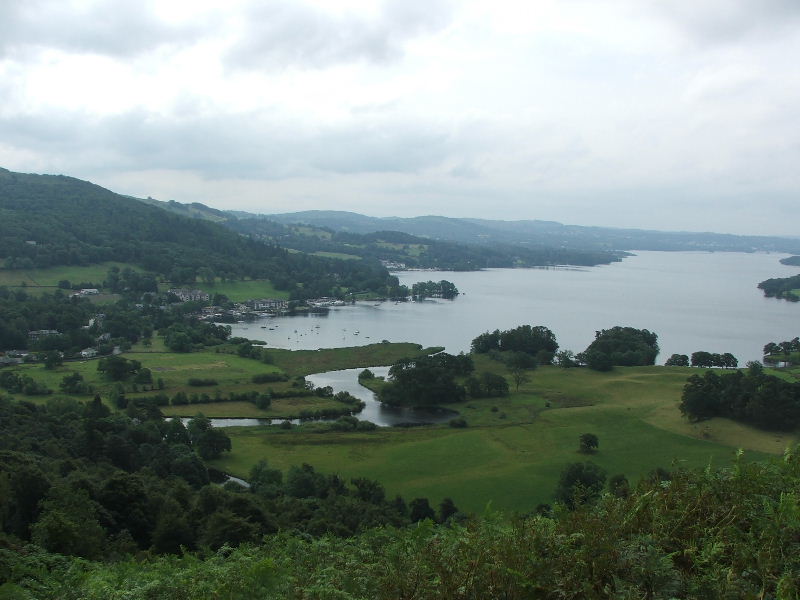
Waterhead and Windermere from Todd Crag
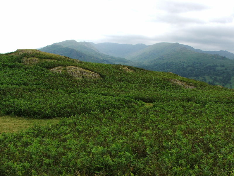
The Fairfield Horseshoe
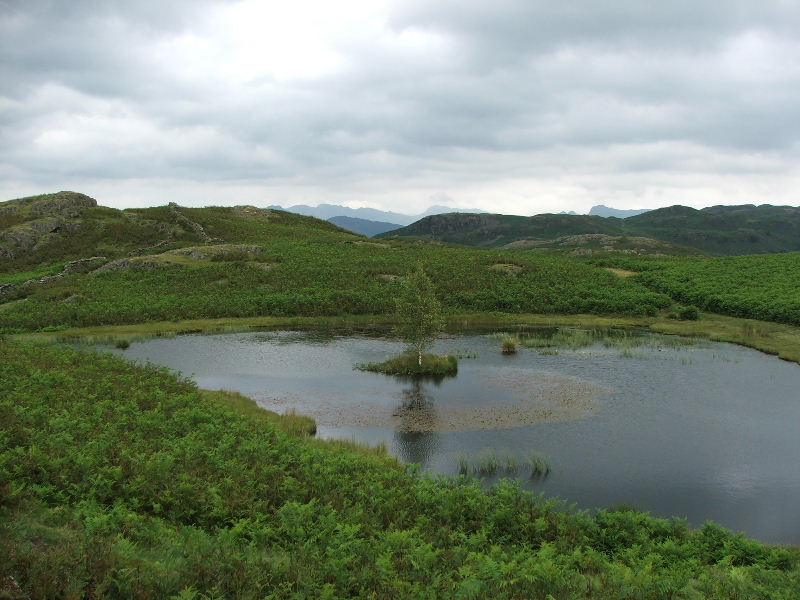
Lily Tarn, just the place for a picnic with the kids, but keep away from the water. You can see the Crinkle Crags and Bowfell in the distance along with the Langdale Pikes.
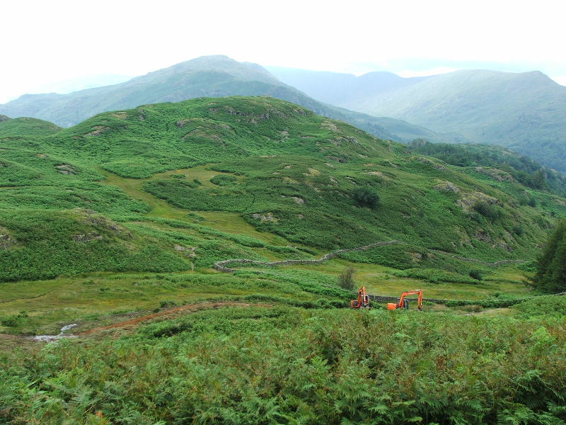
A lot of remedial work is being carried out along this section of path. For more information click here. It will open in a new window.
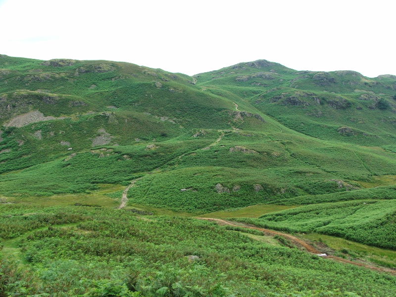
The way ahead. Loughrigg Fell is covered by a multitude of paths but the one seen opposite is the primary one.
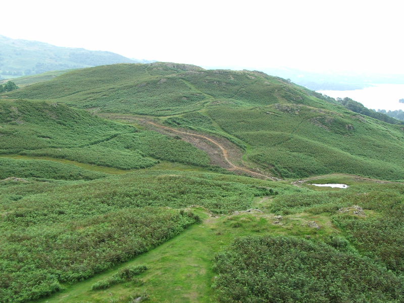
Looking back to where the previous picture was taken from.
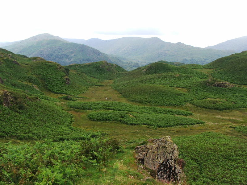
From the same place looking to the Fairfield Horseshoe
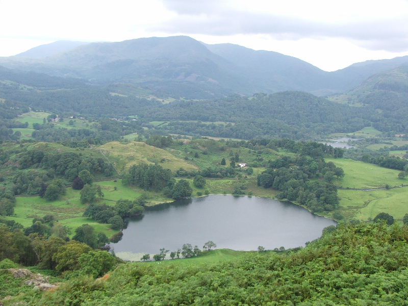
Loughrigg Tarn from the viewpoint
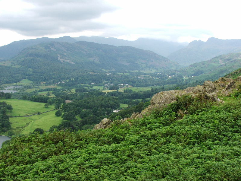
Looking up Great Langdale from the viewpoint with Lingmoor in the foreground. From here it is only a good 5 minutes or so to the summit.
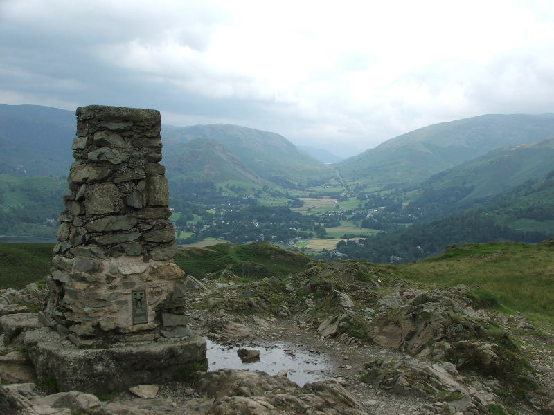
Looking to Dunmail Raise from Loughrigg summit.
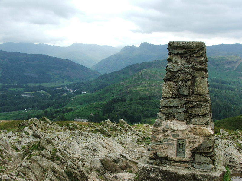
And towards the Langdale Fells
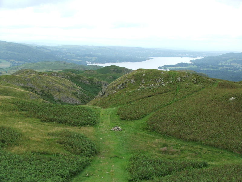
Looking back to Windermere from the summit
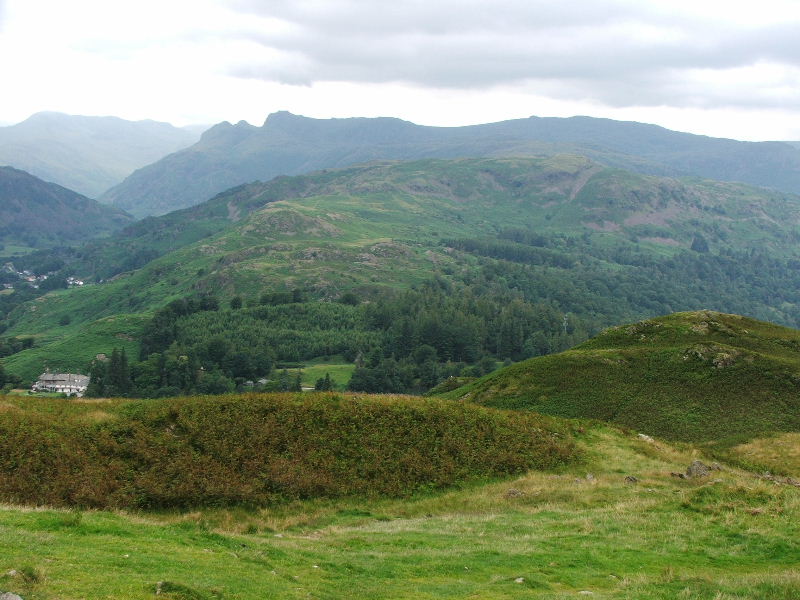
I had the summit to myself today which makes a pleasant change
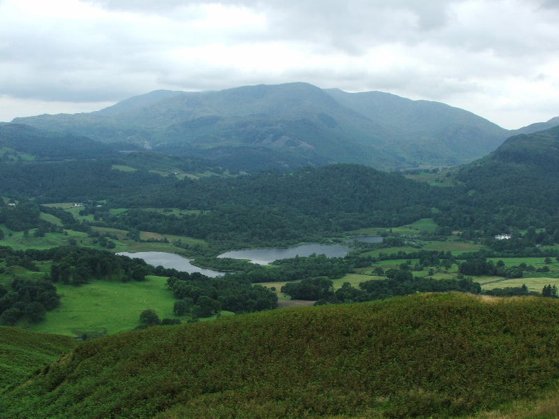
The Coniston Fells and the dip down to the Wrynose Pass on the right
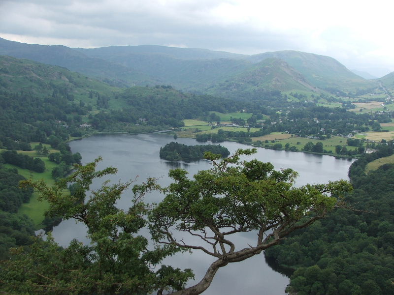
Looking across Grasmere to Helm Crag with Steel Fell behind on my descent
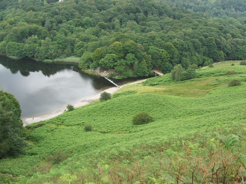
The weir and footbridge at the end of Grasmere taken from Loughrigg terrace. I hadn't given too much thought to my way back up to this point. I decided to follow a few lanes and minor roads. From here I went to the top of the Red Bank road and then took a bridleway past Loughrigg Tarn
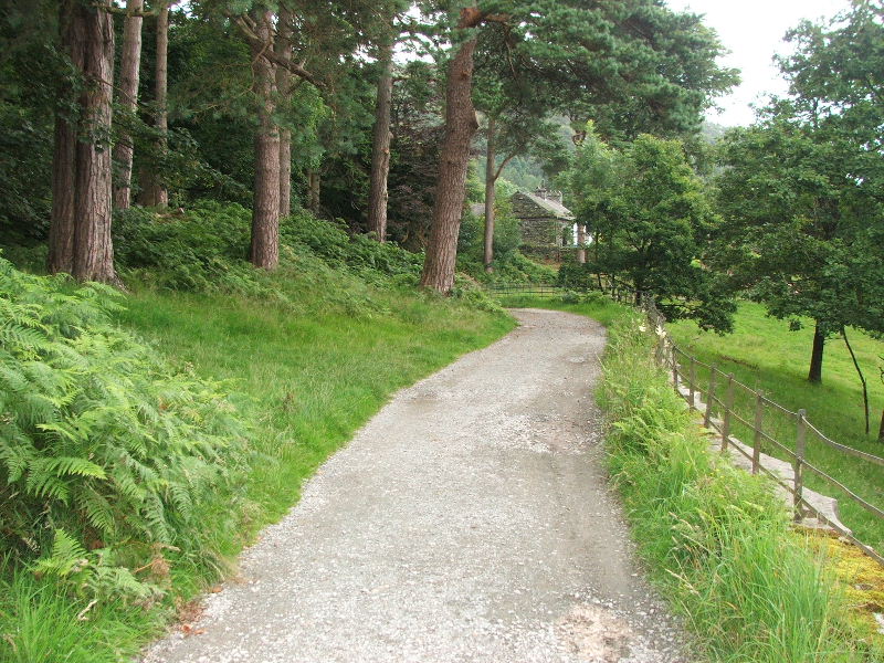
The bridleway to Loughrigg Tarn
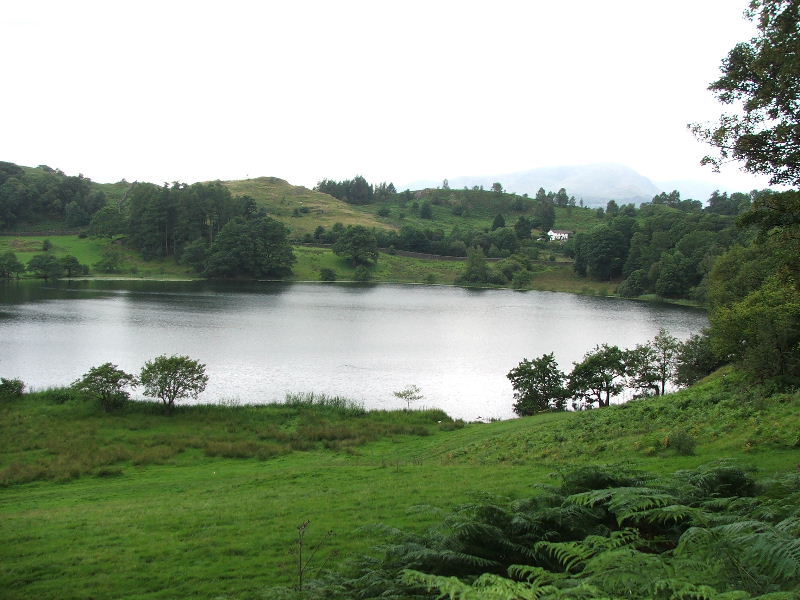
Loughrigg Tarn
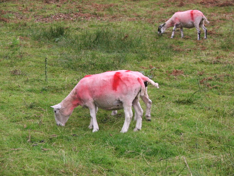
Is this some kind of fashion statement?
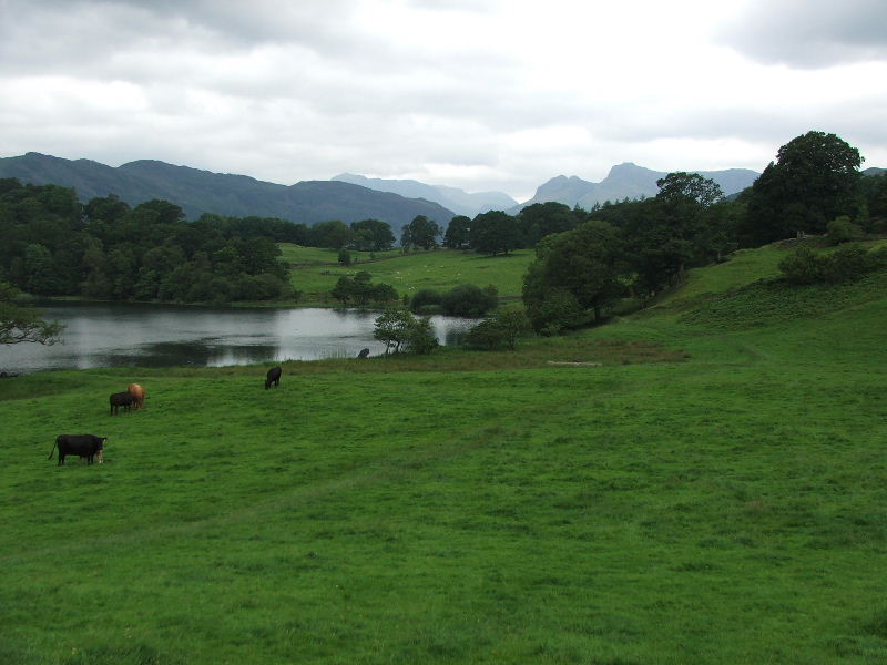
The Langdales from Loughrigg Tarn. From here I followed the lane than a minor road down to Skelwith Bridge where I paid a visit to the waterfall of Skelwith Force.
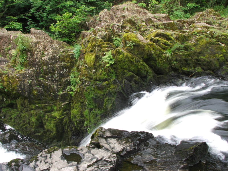
Skelwith Force and I finally succeeded in getting the "milky" effect!!
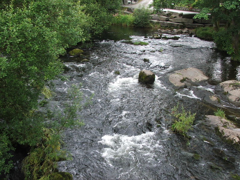
The River Brathay as I crossed Skelwith Bridge. From here I followed a minor road up to Skelwith Fold and then back to the car.
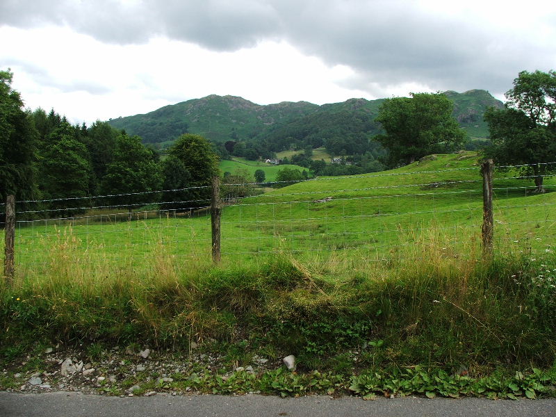
Loughrigg Fell from the minor road to Skelwith Fold
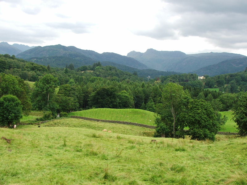
Taken from a viewpoint at Skelwith Fold. The Langdale Fells.
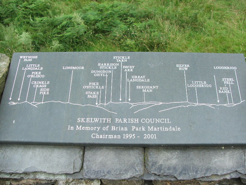
They can be identified from this Memorial stone.
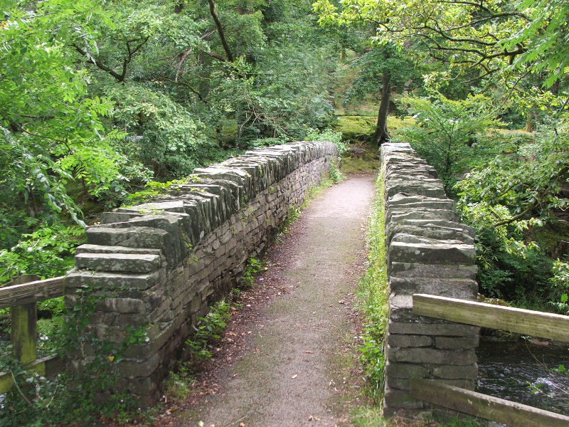
Nearly back to the car now, this footbridge over the Brathay links to the main road.
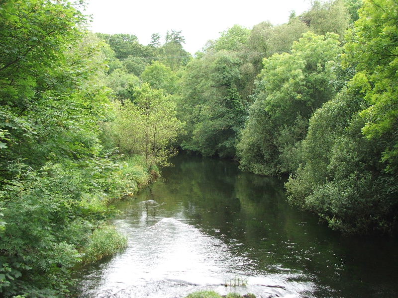
But I only used it for this final picture of the river.
Next Walk: 22nd July 2007 -- Whitbarrow from near Gilpin Bridge
Last Walk: 18th July 2007 -- Ingleborough and Ribblehead from the Hill Inn