
| Area: | Lakeland | Ascent: | 2445 feet |
| Walk No: | 50 (1) | Time: | 6 hours |
| Date: | 29th July 2007 | Parking: | Cow Bridge car park near Brotherswater |
| Distance: | 10.00 miles | Weather: | Fine and mainly sunny. Clouds above tops. Medium breeze on tops |
| Route: | Cow Bridge - Boredale Hause - Angle Tarn - Rest Dodd - Angle Tarn - Boredale Hause - Side Farm - Cow Bridge |
We were parked up at Cow Bridge and walking for 8:45am. We walked back to Hartsop and took the bridleway N'wards that leads up to Boredale Hause. From the Hause we took the path to the delightful setting of Angle Tarn. It would have been easy to have lingered there in the warm sunshine but we pressed on up to Satura Crag with its fantastic views down the Bannerdale valley. Just past Satura Crag we left the path to head upwards to Rest Dodd which was to be our only "Wainwright" of the day. The summit of Rest Dodd is not very inspirational, no rocks or crags but it does offer some glorious views. From the summit we headed southerly to pick up a wall which we followed down to pick up our original path only a bit further along. I offer no excuses for walking back along our outward path as far as Boredale Hause, no excuses are necessary to visit Angle Tarn twice in one day. From Boredale Hause we descended to Side House farm and the Tea Room. If you are ever in the area you must stop and try the selection of fare on offer, it is delicous and very good value for money. From Side Farm we returned to the car by way of Rooking, Crookabeck and Beckstones and then by a permissive path alongside Goldrill Beck to the A592 which after crossing we took the path through Low Wood to Cow Bridge. During the course of this walk I took 133 pictures which I have edited down to 52 so once again it will be necessary for me to do this in two parts.

Cow Bridge car park with Place Fell in centre picture

As we ascended the bridleway to Boredale Hause looking back to Brotherswater and the Kirkstone Pass

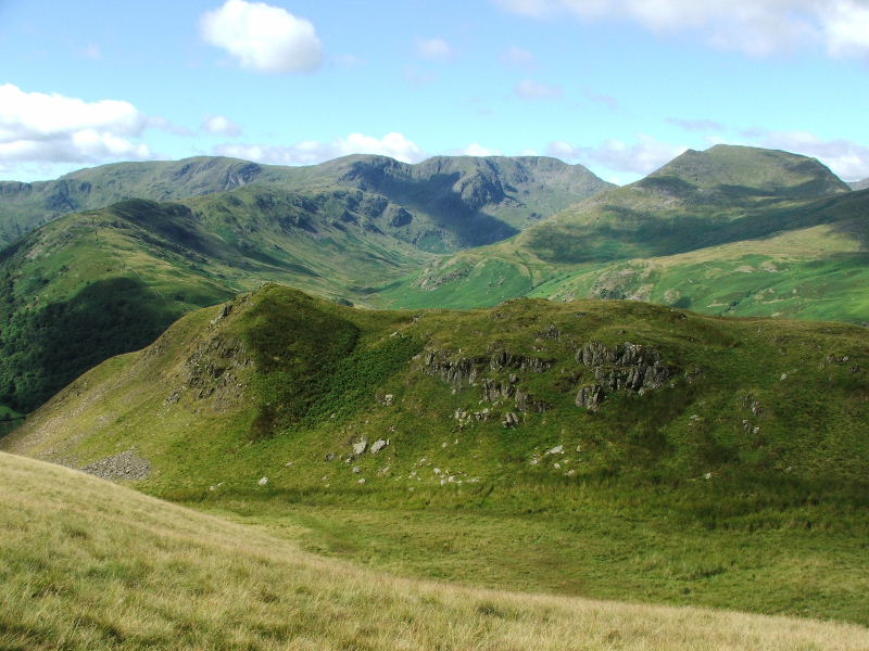
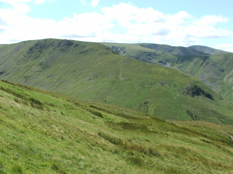
The long curving ridge of the Hartsop above How ridge rises to meet the Fairfield Horseshoe at Hart Crag with the Deepdale valley on the right

Looking acrossto Arnison Crag with Birks behind and St. Sunday Crag left

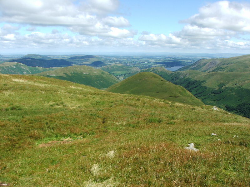
and looking towards Glenridding with its Dodd and Sheffield Pike

Finally our path ahead to Boredale Hause

After reaching the Hause we turned right to take the path to Angle Tarn. This path continues on to the High Street ridge and is part of the Coast to Coast route. From here we are looking across to Place Fell.

The initial path splits into two higher up near Dubhow Beck. The higher path leads to the Angletarn Pikes but the smaller lower path skirts around the fellside keeping the better views.
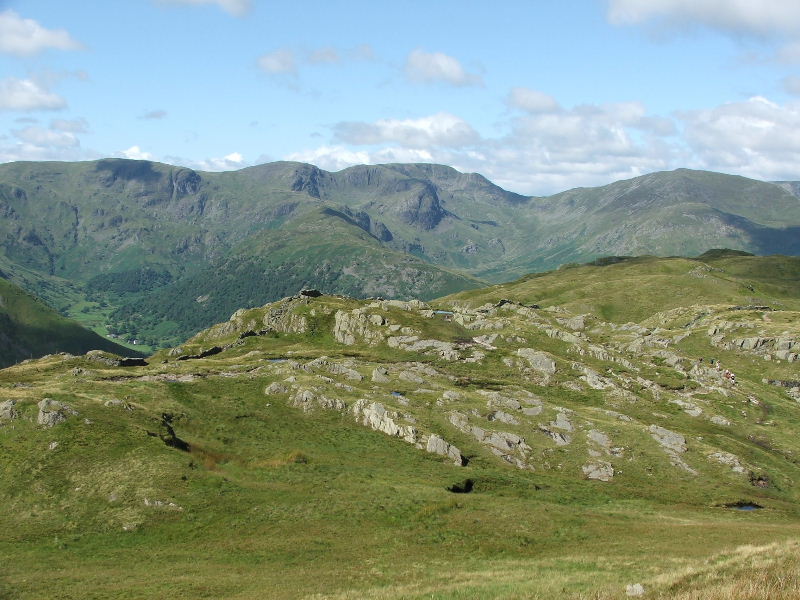
The head of the Fairfield Horseshoe with Dove Crag, Hart Crag and Fairfield. To the right is St. Sunday Crag with Gavel Pike
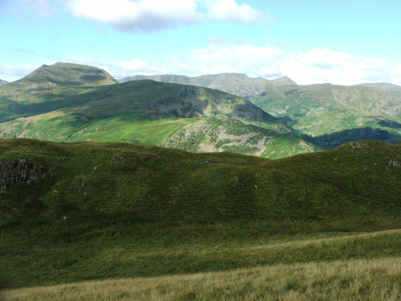
St. Sunday Crag, Birks and Arnison Crag in the foreground with the Helvellyn Fells behind
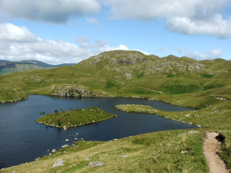
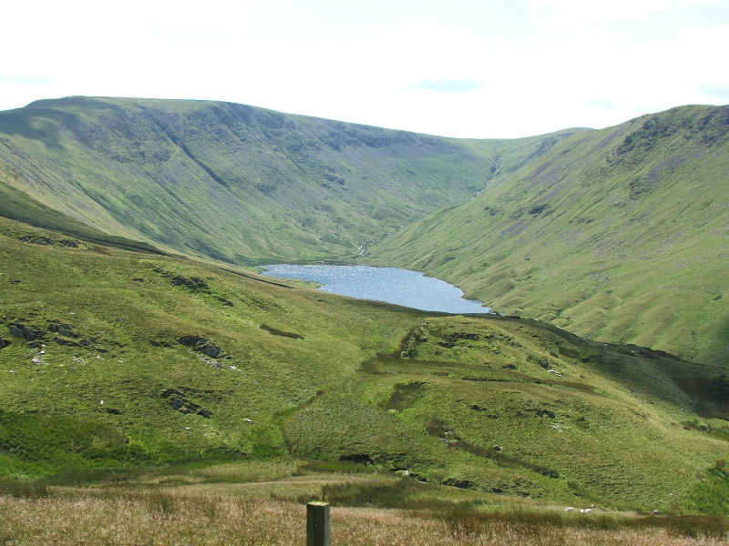
Angle Tarn.....A mountain oasis. I had to wait till we had walked around the tarn before taking pictures as the sun was right in front at the t'other end. This shows the Angletarn Pike south summit which is the lowest but only by a few feet and it as the best views.
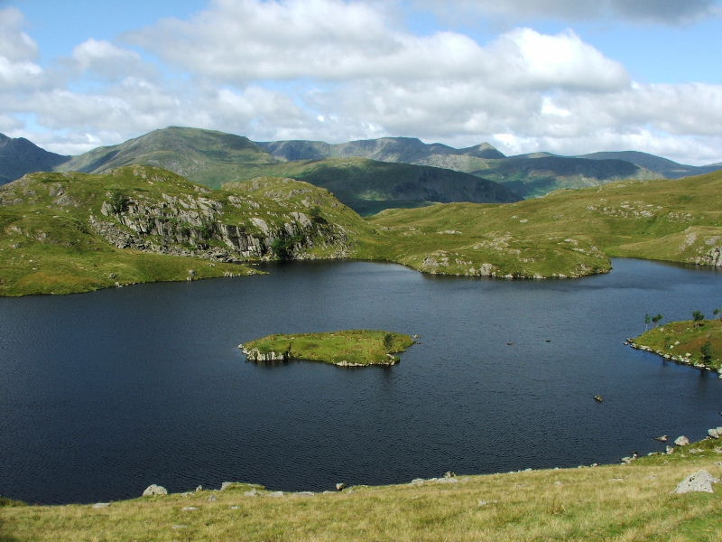
Looking across the tarn to Cat Crag with the Helvellyn ridge behind
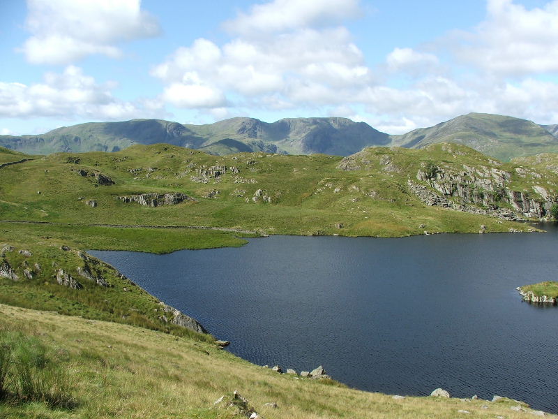
The south end of the tarn with the Fairfield Fells behind
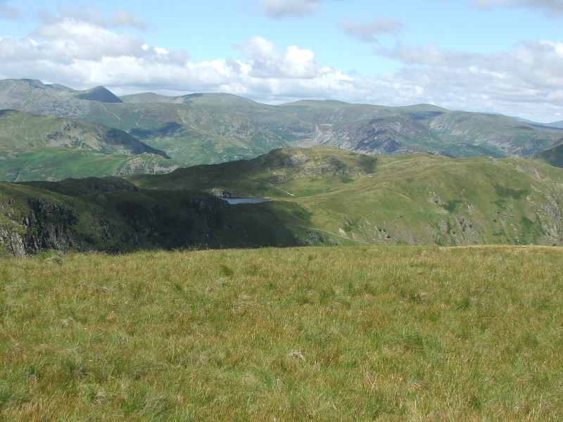
Our path rose gently towards Satura Crag from where these views down Bannerdale opened up. The Nab is the nearest on the right. The lower ridge in mid picture is the Pikeawassa ridge and in the distance is Bonscale pike
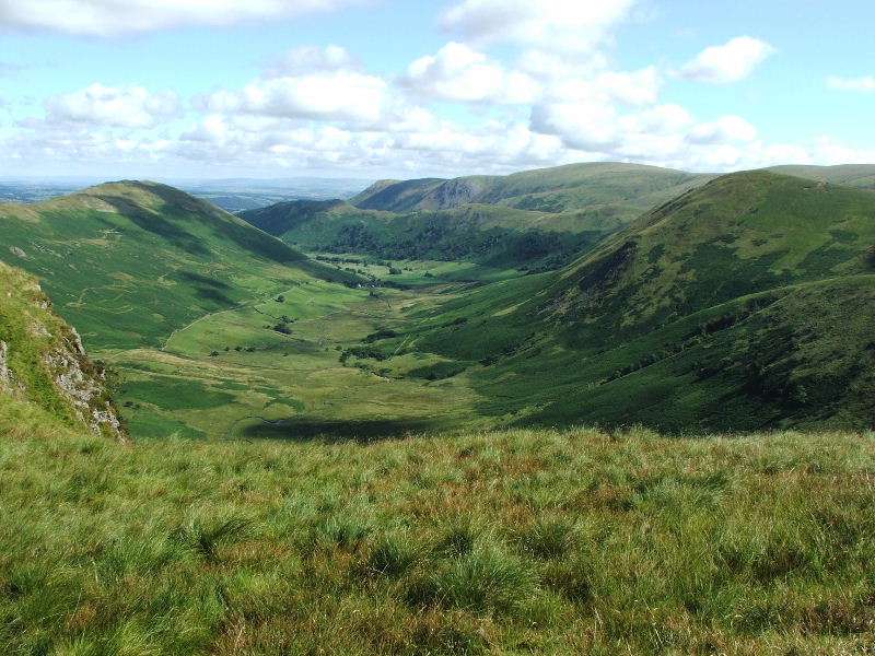
A wider view here which shows Beda Fell to the left
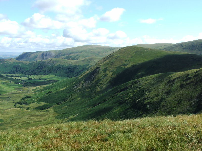
Just past Satura Crag we left the Coast to Coast path to take a smaller path up to Rest Dodd. As we gained height this view of Hayeswater opened up
Looking over Brock Crags to the head of Dovedale and Deepdale
Getting near to the summit of Rest Dodd and looking back over Angle Tarn to the Helvellyn range
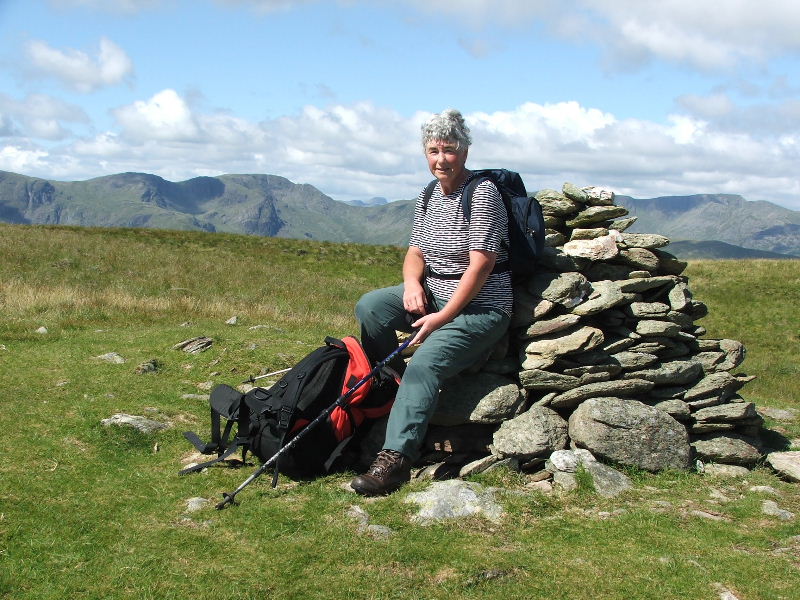
Edith on the summit of Rest Dodd. Great Gable can just be seen through the gap of Deepdale Hause
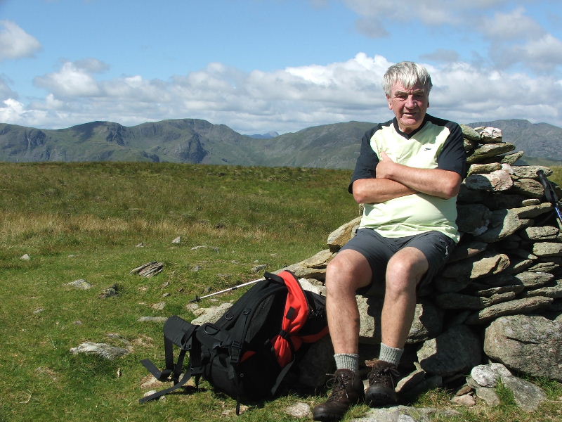
and Dave!!
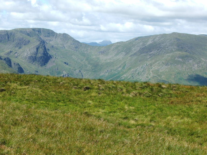
Fairfield and Cofa Pike left, St. Sunday Crag right with Great Gable through the gap
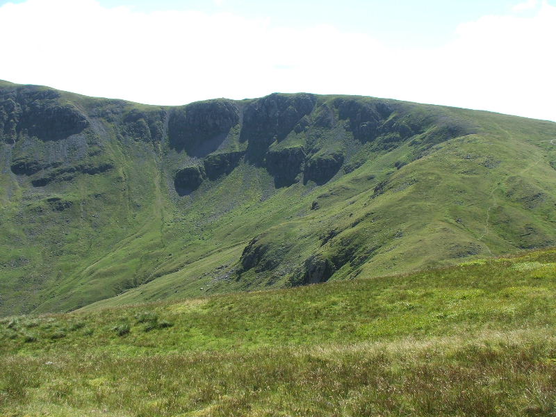
The craggy face of Rampsgill Head from Rest Dodd
Looking to the north with The Nab in the centre , Beda Fell on left, Pikeawassa on right and Bonscale Pike far right. The North Pennines are in the far distance
From the summit we headed south for a while then followed this wall down to pick up the Coast to Coast path
Taken on the descent this shows Gray Crag (our previous walk) in the foreground with Caudale Moor and Red Screes behind.
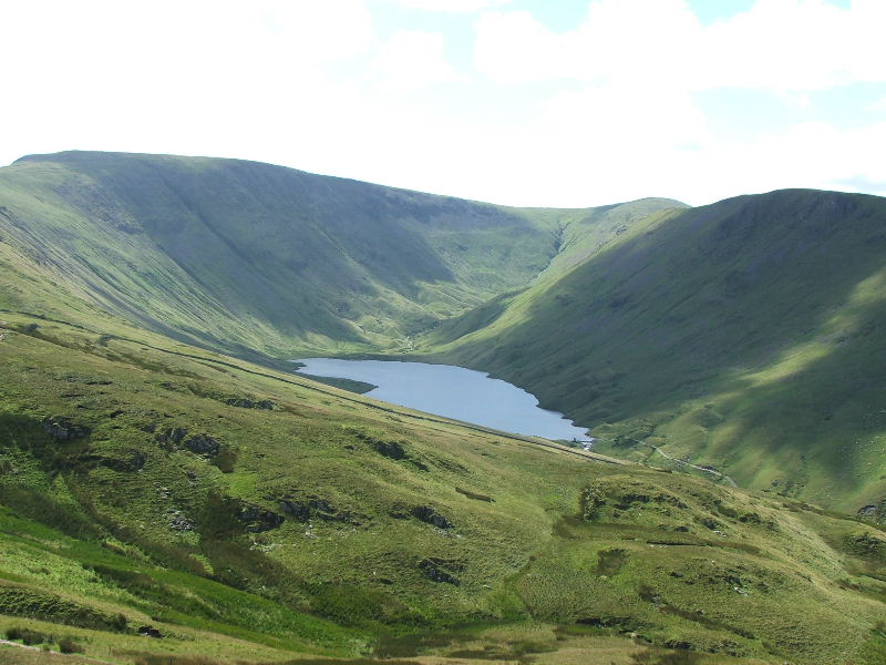
Hayeswater from the descent
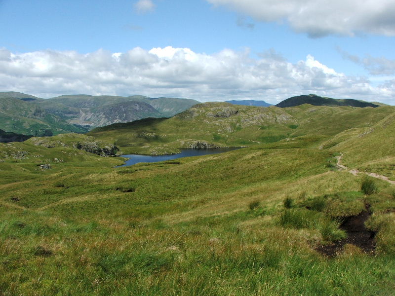
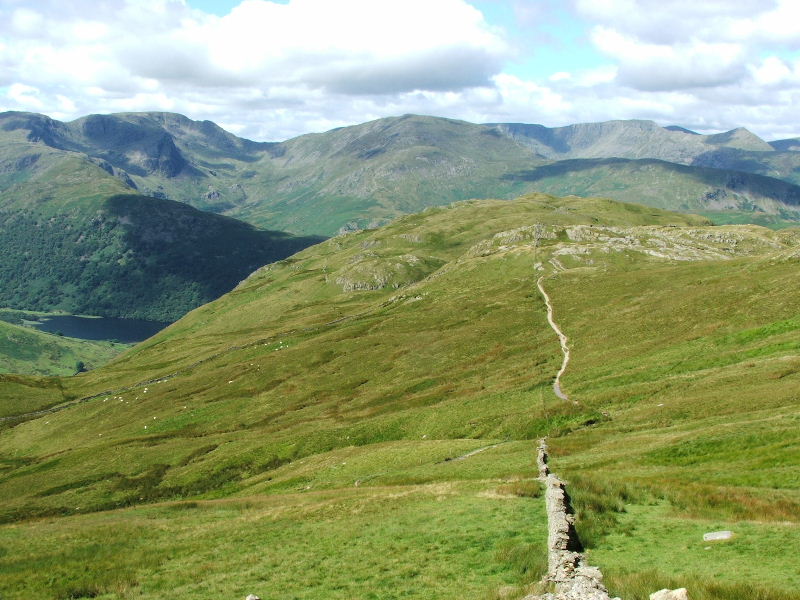
Back on the Coast to Coast path now and heading back towards Angle Tarn.
For the second part of this walk click here
Last Walk: 27th July 2007 -- Gray Crag and Thornthwaite Crag from Cow Bridge