| Area: | Local | Ascent: | 370 feet |
| Walk No: | 53 | Time: | 4 hours 45 mins |
| Date: | 5th August 2007 | Parking: | Conder Green Picnic site |
| Distance: | 13.50 miles | Weather: | Overcast for first 30 minutes then very warm & sunny |
| Route: | Conder Green - Glasson Dock - Cockersand Abbey - Bank End - Cocker Bridge - Cockerham - Lancaster Canal - Glasson Dock - Conder Green |
I was by myself again today as Edith wasn't feeling to well. I didn't want to do any climbing as my knees were still a bit "dicky" so I decided on this walk which I last did a number of years ago. Initially the route follows the path of the Lancashire Coastal Way as far as Cocker Bridge. From there, there was a bit of road walking before I got onto the Lancaster Canal near Cockerham. It was then a simple canalside walk back to Glasson Dock and then to Conder Green. Fror those interested in such things the map used was the OS Pathfinder Sheet 45/55 Galgate & Dolpinholme.
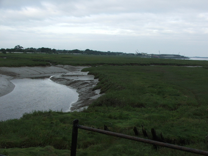
As I left the Conder Green picnic site I took this picture looking towards Glasson Dock. This was about 7:45am and it was still quite cloudy and dark.
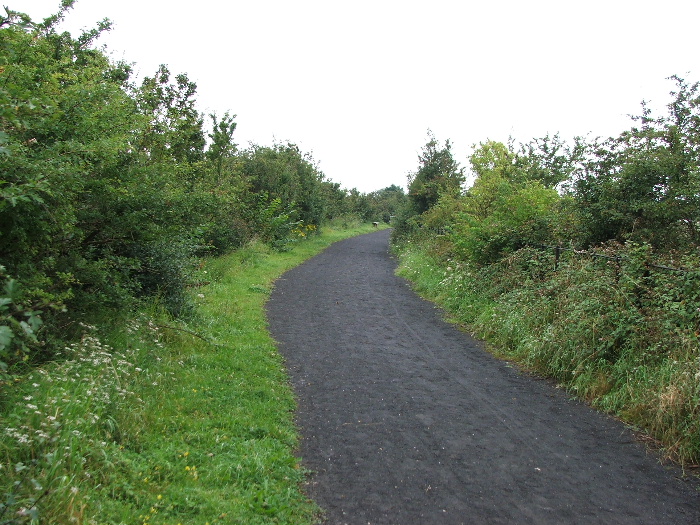
The path follows the track of a disused railway line that used to run between Glasson Dock and Lancaster
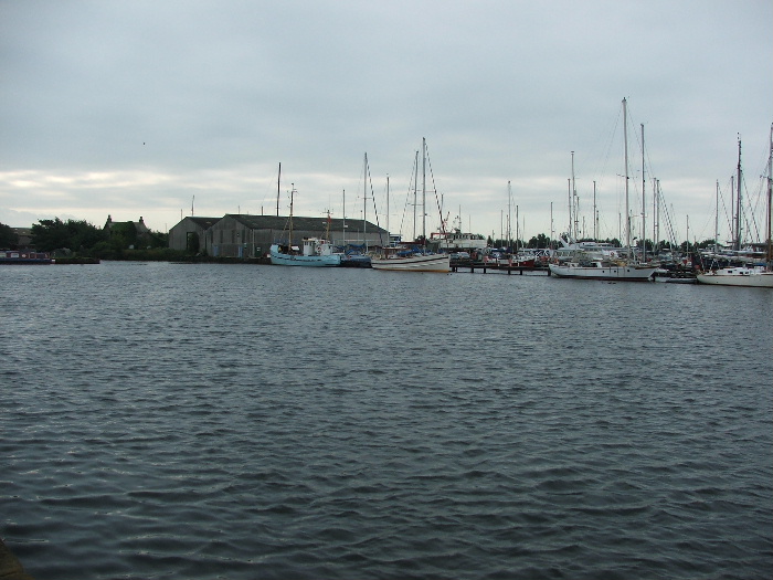
I soon arrived at the Dock. This picture shows the freshwater marina. The canal link to the Lancaster canal is to the left of the large buildings
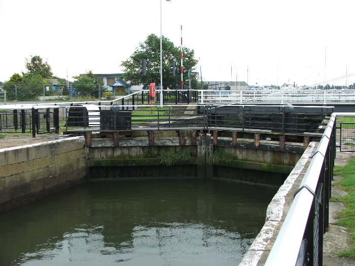
These are the Locks between the Freshwater Marina and the Saltwater Dock.
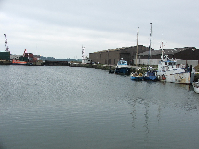
This is the surprisingly quiet Saltwater Dock. The gates at the far end are opened from about 45 minutes before High Water till 45 minutes after High Water.
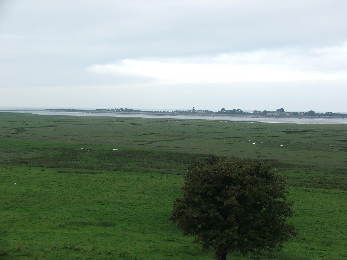
Taken from Tithe Barn Hill, the highest part of Glasson (65 feet) looking across the River Lune towards Sunderland Point
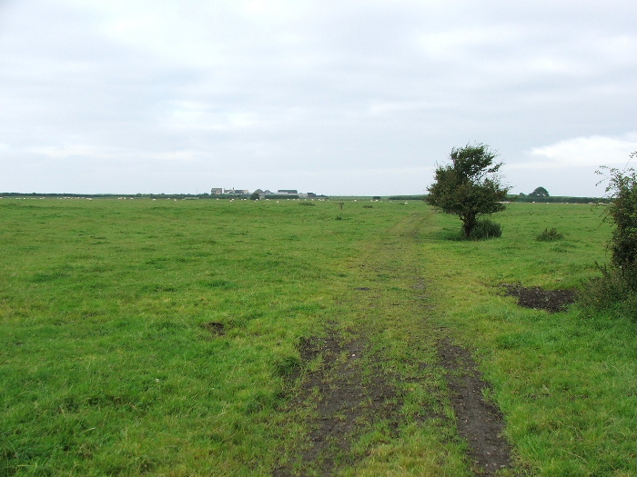
My route then took me across these fields to the shoreline at Crook Farm
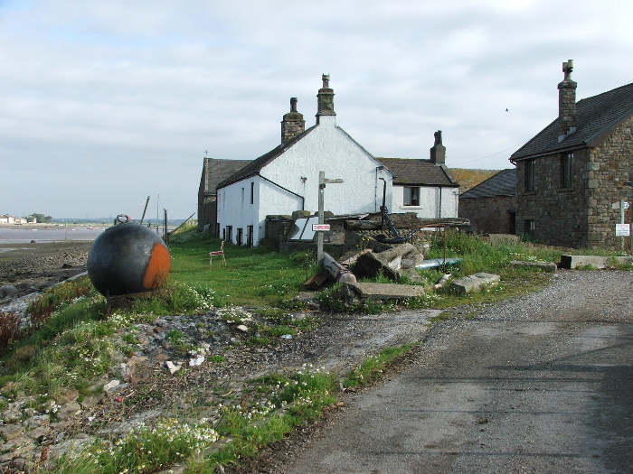
Crook Farm
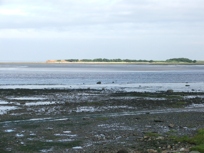
A close-up of the eroding headland of Sunderland Point
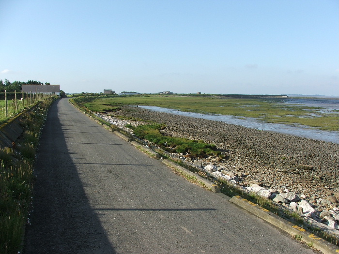
My path would follow the shoreline around to the right
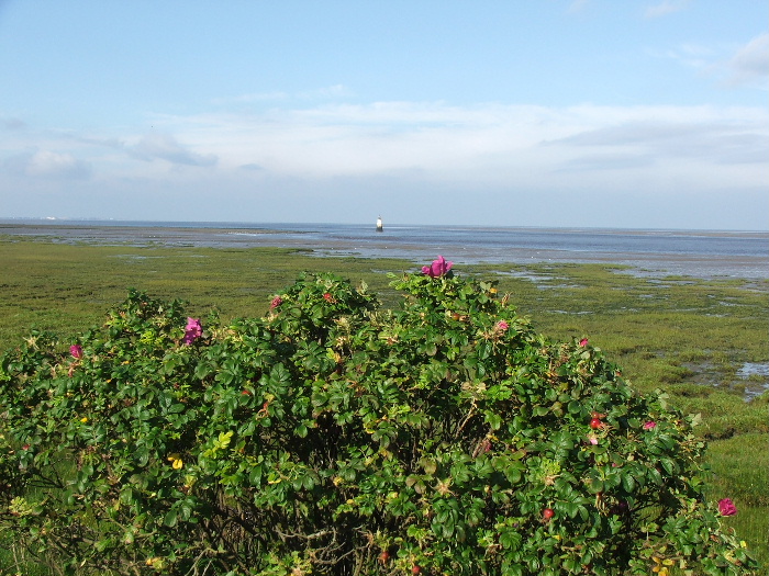
Plover Scar lighthouse with some wild roses (I think) in the foreground
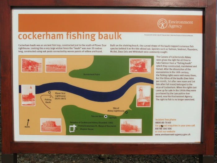
An information board about the area. There used to be two fishing baulks like these when I was a kid at Morecambe.
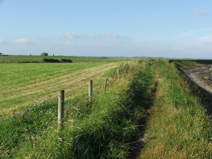
The route ahead to Cockersand Abbey
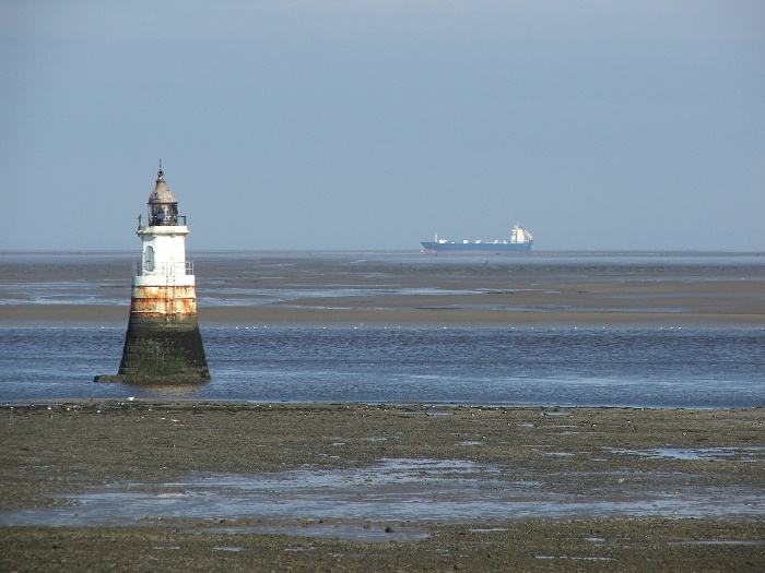
The lighthouse again, this time with a container ship bound for Ireland from Heysham in the background
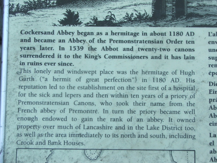
Cockersand Abbey information board
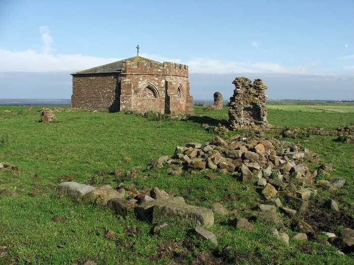
Cockersand Abbey remains
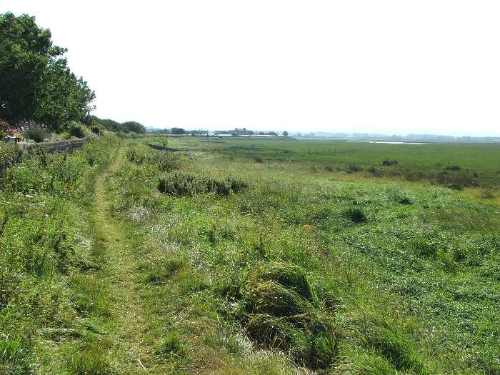
From the Abbey the path follows the coastline to Bank End
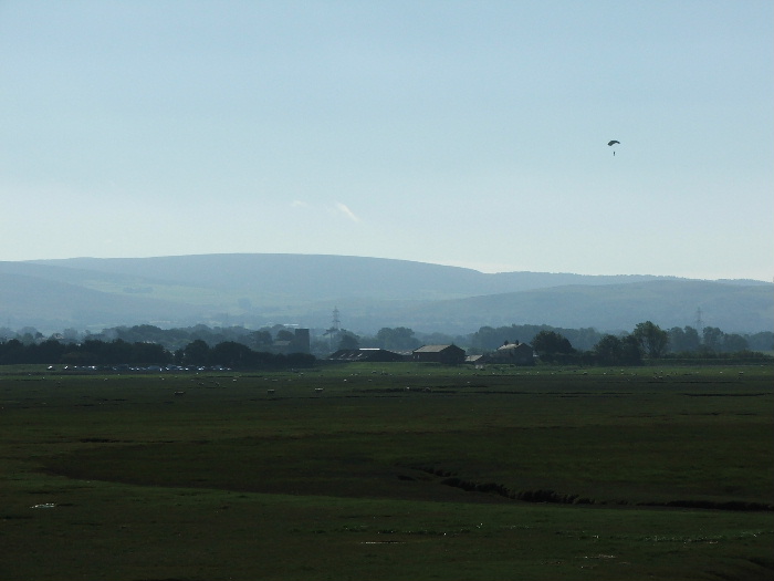
Just past Bank End there is a small airstrip where you can go parachuting. Here's someone coming in to land.
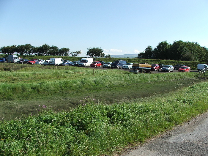
When I got nearer to it I could see how popular it was. This is only a fraction of the cars parked there.
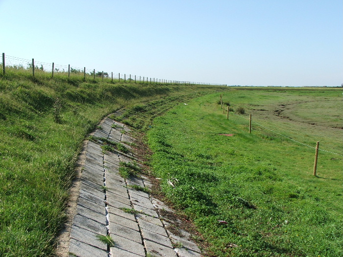
The path continues to the road at Cocker Bridge
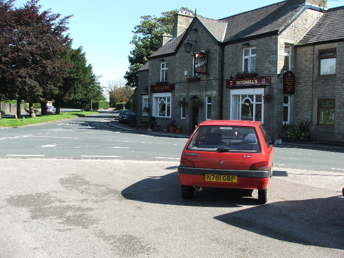
From Cocker Bridge I had a section of road walking, about 1.5 miles, but the road wasn't too busy and there was a footpath. This is taken in Cockerham.
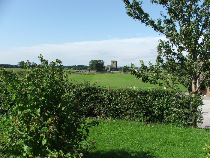
Cockerham Church
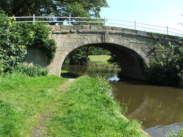
Before to long I was on the Lancaster Canal and heading back towards Glasson
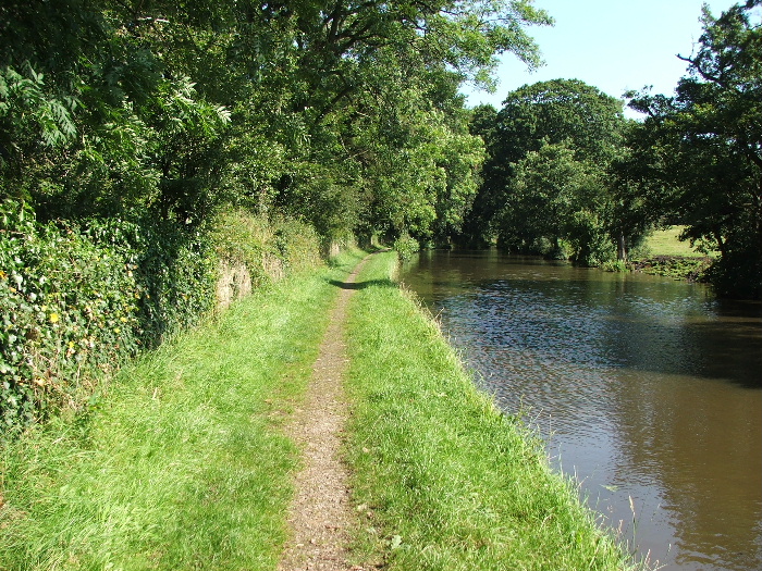
This section of the canal is usually quiet as it's away from the roads
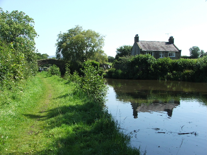
By now the day was very warm. I had brought water but thought I could manage without "butties" .....I was starving
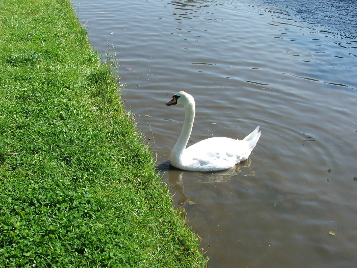
This chappie came on the scrounge but he/she was out of luck
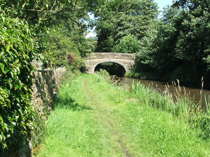
The only people I saw while walking along the stretch were those on the boats
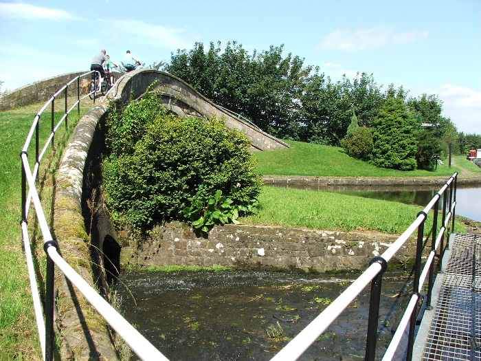
This is were the Glasson Dock branch turns off from the main canal. There are more people about now as we are near Galgate.
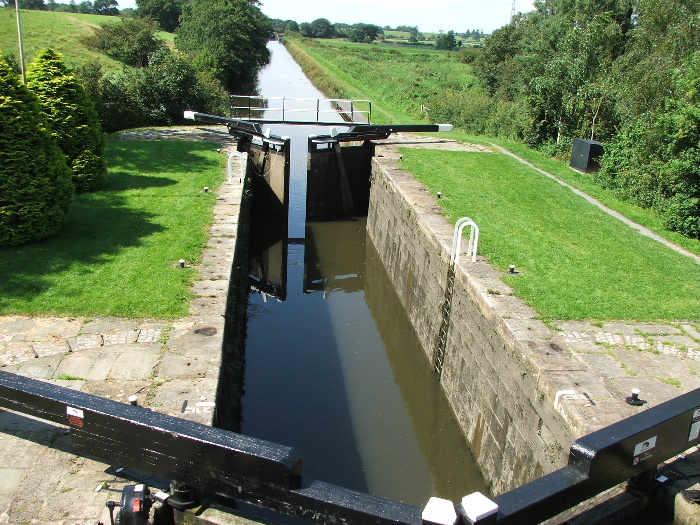
This is Lock 1 on the Glasson Branch. There are 5 locks altogether dropping the canal from around 75 feet down to 10 feet
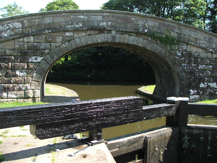
Looking back to the Lancaster Canal from Lock 1
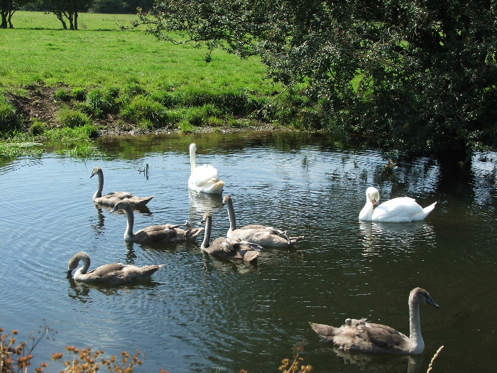
A young family enjoying the water. There were seven cygnets .....one wouldn't come into the picture
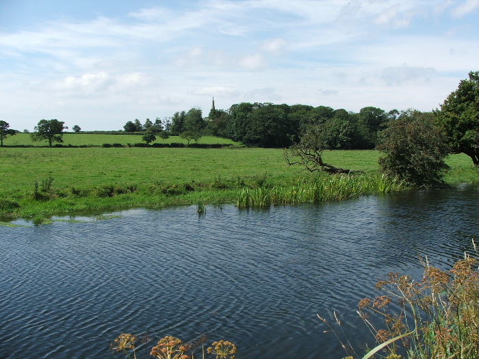
A church at Thurnham just shows above the woods
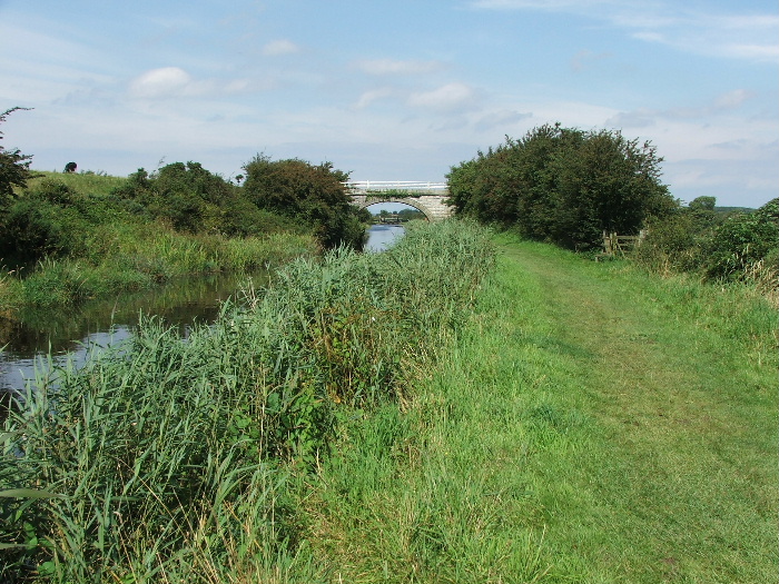
The Glasson branch is just over 2 miles long and it felt like it today.....it was rather warm now around noon.
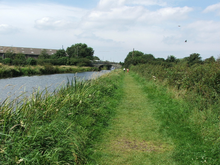
I'm approaching Glasson now. I had decided not to go into the village but to turn off right at the bridge ahead to Conder Green
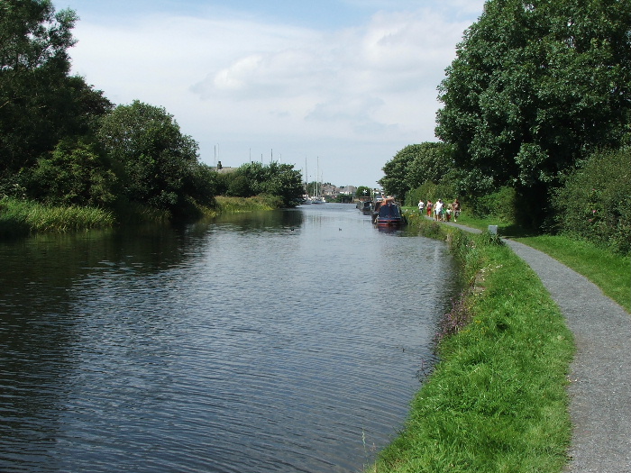
From the bridge looking down the last few yards to the freshwater marina
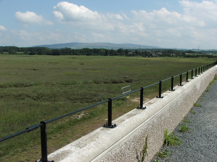
On my way back to Conder Green now with Clougha Pike and Wards Stone in the distance
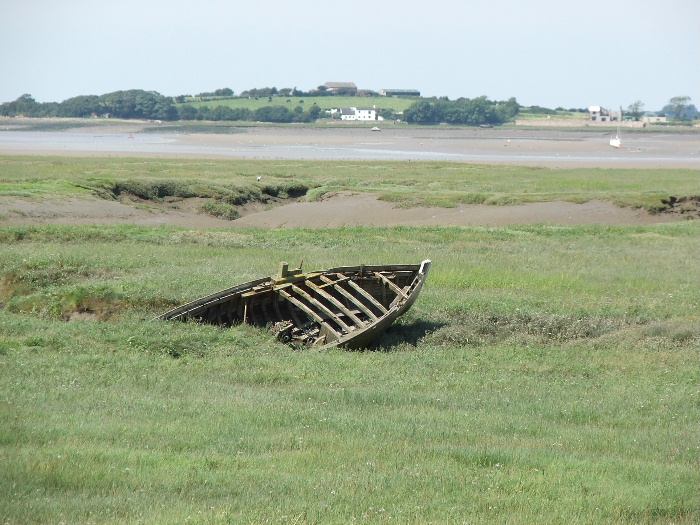
The remains of the "Maud Raby" a Morecambe Bay Shrimper built by Crossfields of Arnside in the 1930's . This used to be owned by an old friend of mine now sadly gone. My old boat the "Seven Sisters" was even older, built in 1897. She recently broke away from her moorings and was wrecked at Morecambe.
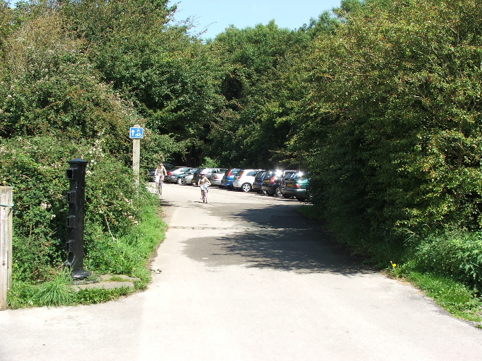
Back to a very busy picnic centre. I was the only one here at 7:40 this morning, now there isn't a space to be found.
Next Walk: 7th August 2007 -- Norber and Crummackdale from Clapham
Last Walk: 2nd August 2007 -- Place Fell from Patterdale