
| Area: | Yorkshire Dales | Ascent: | 1317 feet |
| Walk No: | 54 | Time: | 5 hours |
| Date: | 7th August 2007 | Parking: | At Clapham near the car park (free) |
| Distance: | 11.00 miles | Weather: | Fine with sunny spells , breezy on top |
| Route: | Clapham - Thwaite Lane - Norber - Long Scar Cairn - Sulber Gate - Moughton Scars - Crummackdale - Wharfe - Austwick - Clapham |
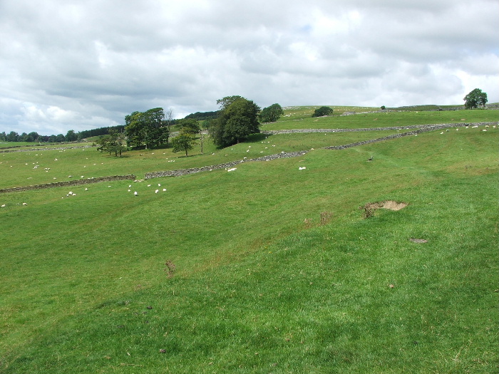
By myself again today as Edith still not feeling to good. This is a walk that I last did about 14 or 15 years so it was nice to revisit the area. The walk itself although of a good length is fairly easy with only gentle ascents and descents. Route finding is also fairly straightforward as much of the walk is in walled lanes although the Norber summit and Moughton Scars could be confusing in mist.
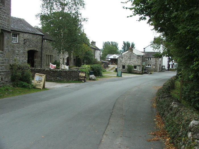
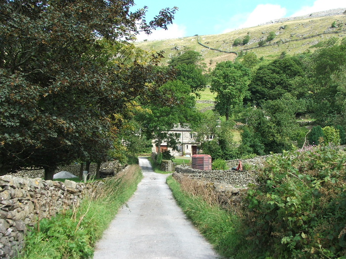
Clapham Village
From the village I walked up to the church and took the Bridleway to Austwick. Here I am at the junction of Long Lane on the left and Thwaite Lane on the right. My route is to the right.
Taken from Thwaite Lane looking towards Ingleborough which at this point was covered in low cloud. You can see Long Lane on the right of the picture.
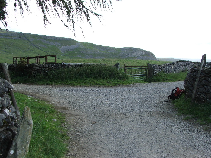
Just over half a mile from the junction there is a stile over the wall with a fingerpost saying "Norber" . This is were I left the lane. The path goes across the field to the corner of the wall then follows the wall upwards.
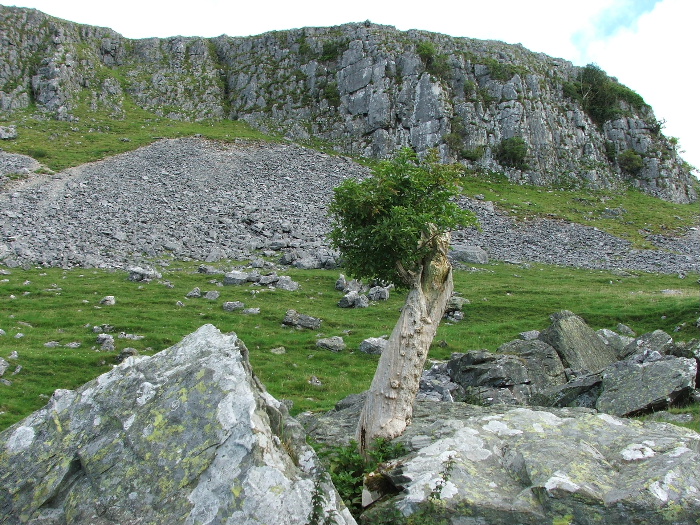
On the way past Robin Proctor's Scar I came across this stunted tree. Just a little further past here was another fingerpost with the track to Norber pointing left and up.
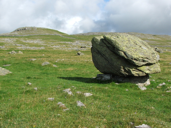
One of the Norber erratics. For further information click here
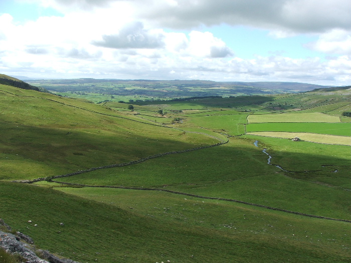
As I headed higher Pen-y-ghent came into view across Crummackdale
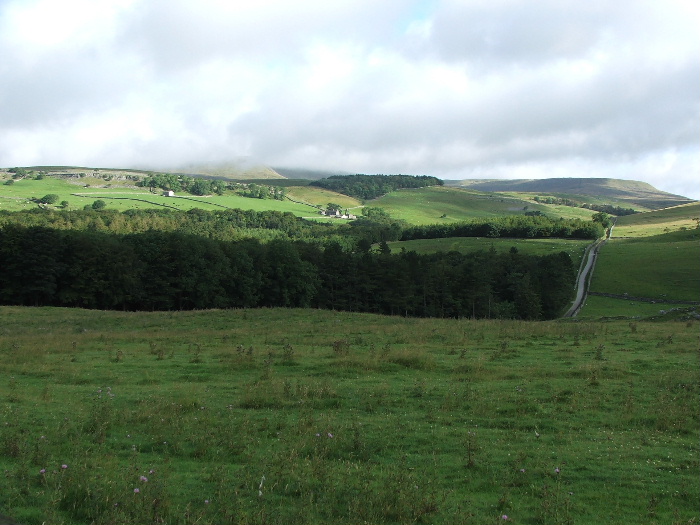
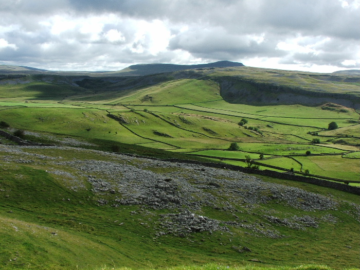
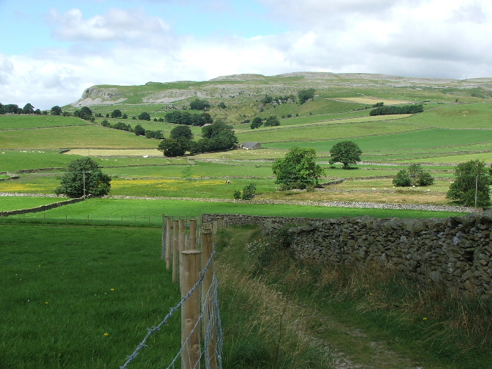
Looking over Crummack farm (behind the trees) to Moughton Scar

Taken from the cairn near Long Scar looking to Ingleborough
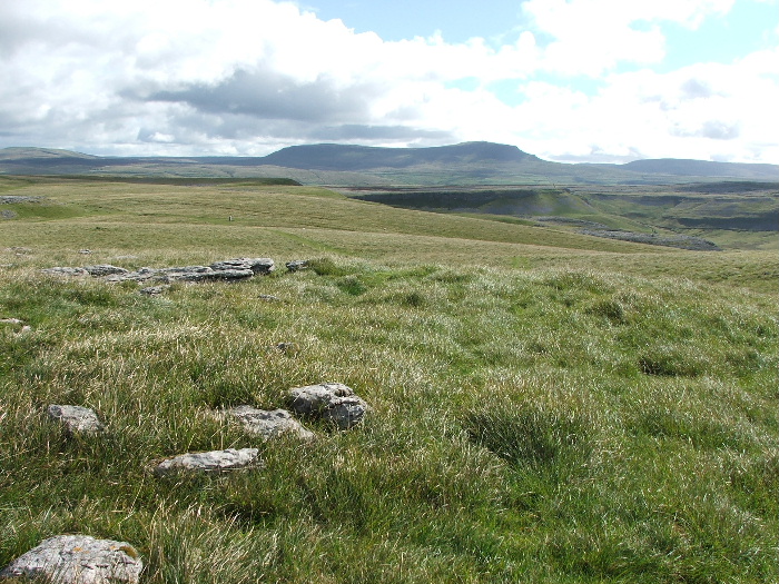
and to Pen-y-ghent and Fountains Fell
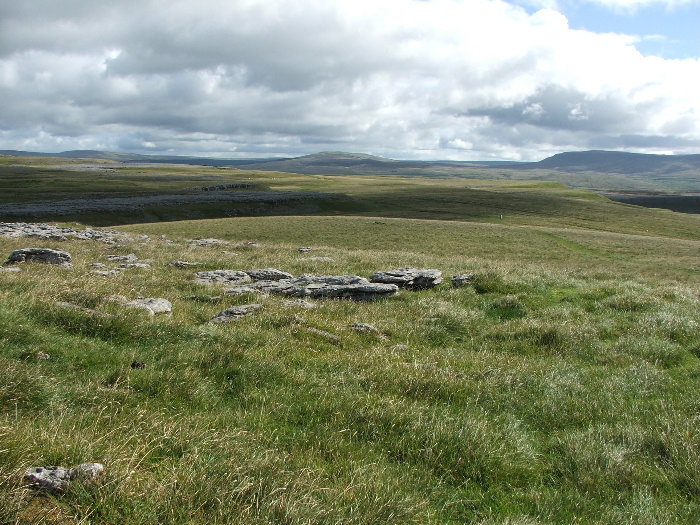
My way ahead to Sulber gate
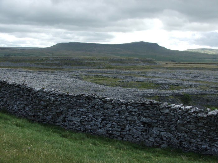
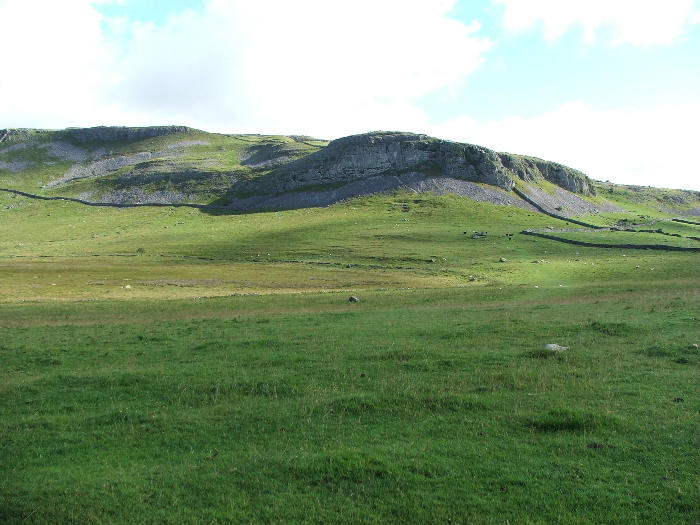
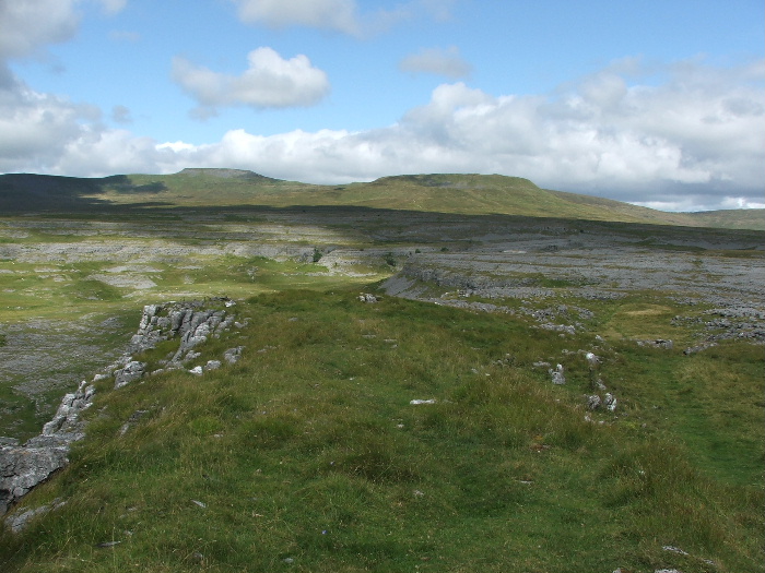
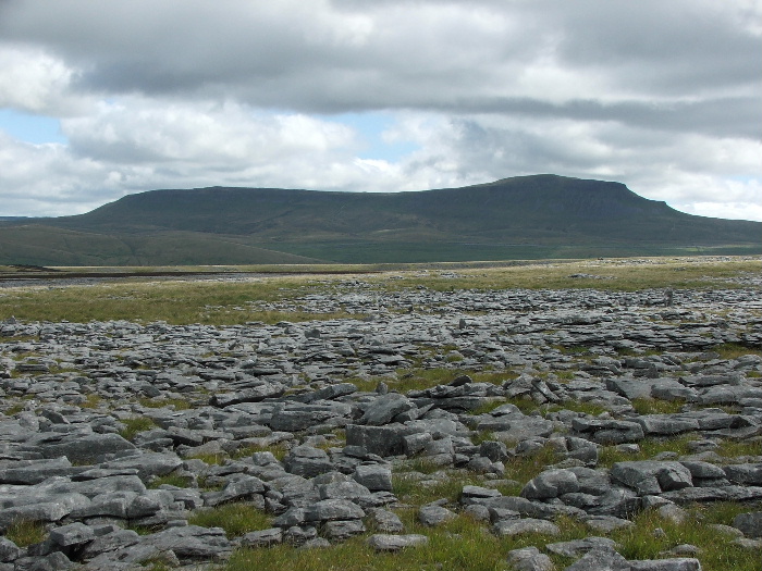
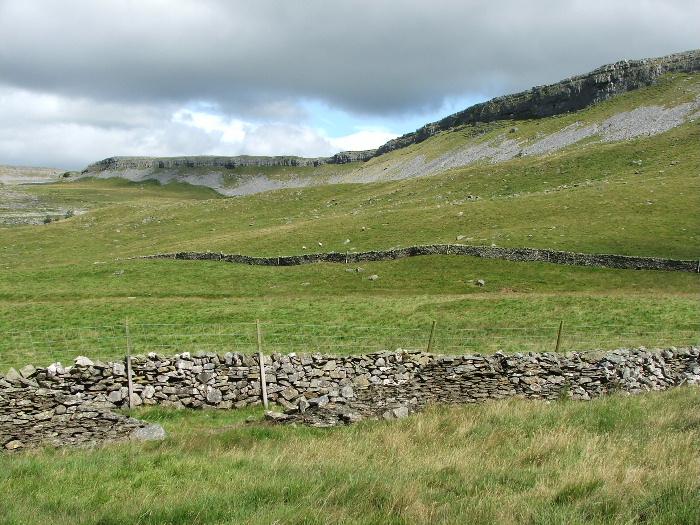
Looking over Moughton Scars to Pen-y-ghent
and the scar edge. My path would follow the edge to the far side
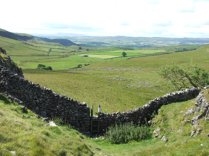
This is shown as Beggar's Stile on the map and is the easiest way down into Crummackdale. My route carried on to the left.
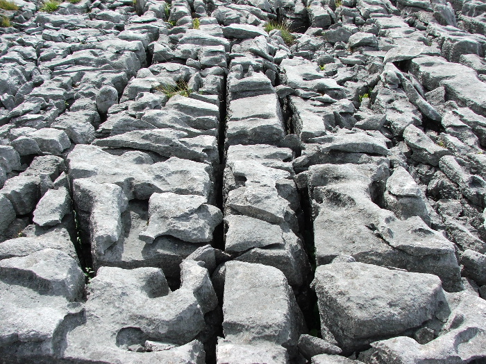
A small section of the Limestone pavement. It's best to avoid walking on it as it's very eroded and loose
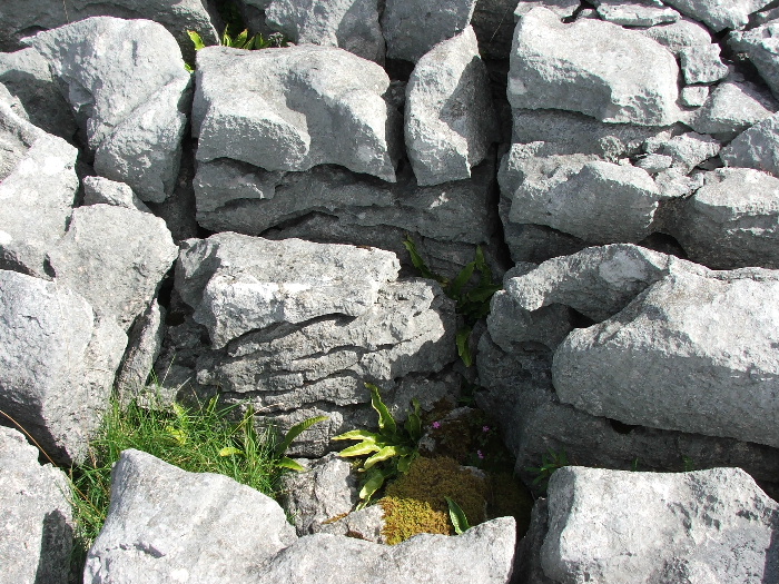
Many types of wild plants grow in the gaps called "grikes". The slabs are known as "Clints".
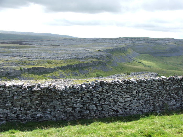
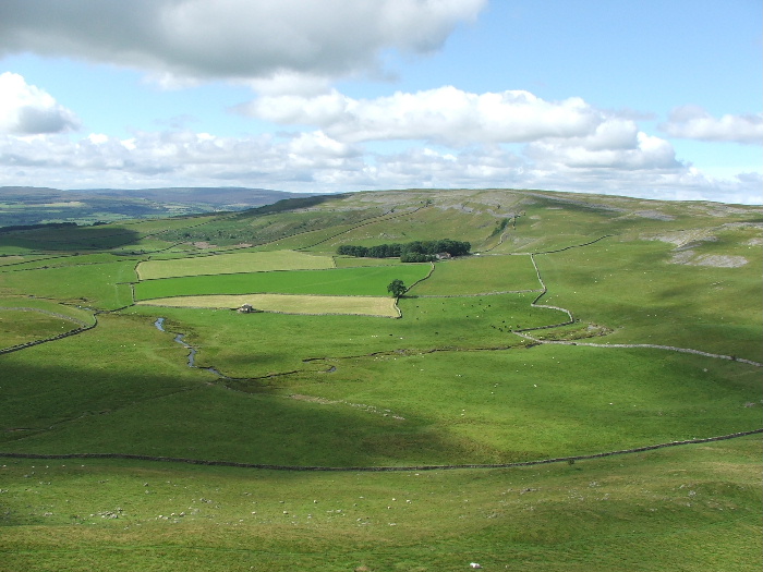
Looking back across the scar towards Ingleborough
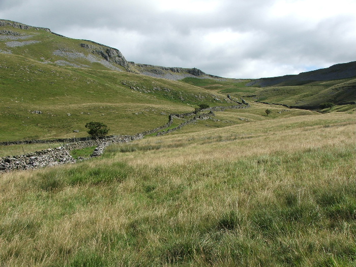
Looking down into Crummackdale. My path down would be in the walled lane in mid picture
Looking across to Crummack farm with Norber behind
Pen- y-ghent.....Bit since I was up there but I've got a feeling it won't be long before that's put right
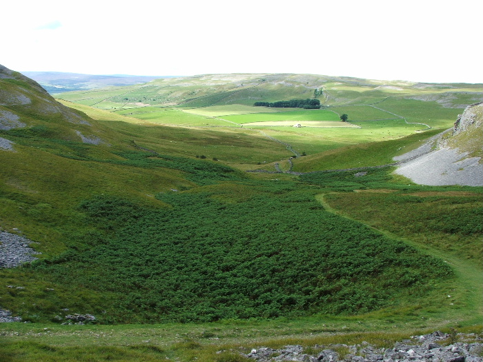
I'm at the end of the scar now and looking down my path into Crummackdale
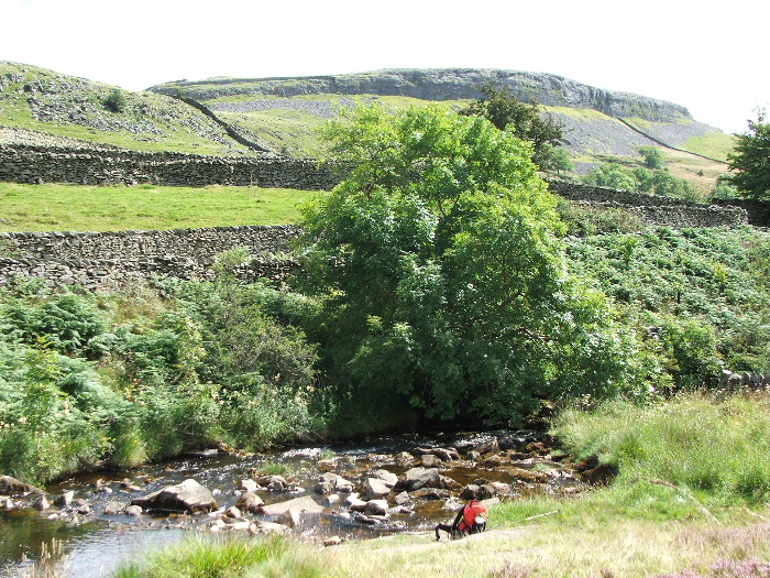
Having descended into the walled lane I took this of the scar edge
I'd been walking about 3 hours by now and hadn't seen one person
but as I dropped down my "buttie" stop there were plenty of people about
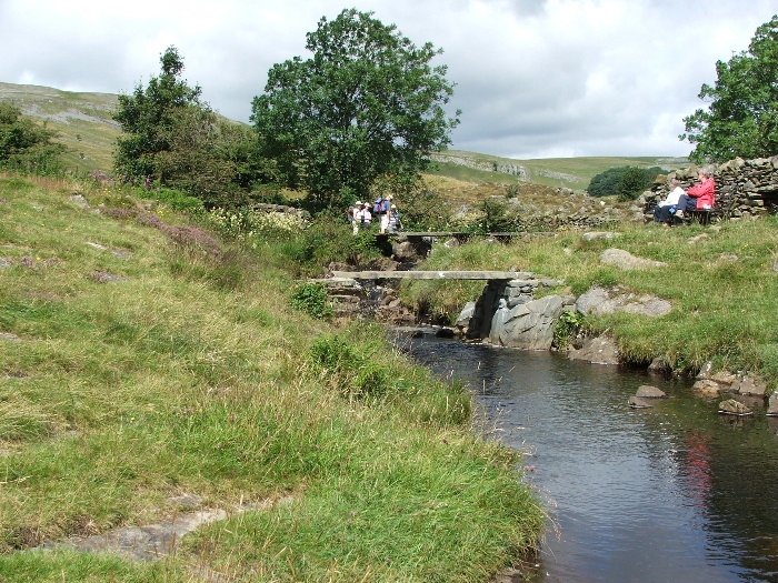
In times past the farmers would dam this beck to form a pool in late spring and autumn to wash the sheep in
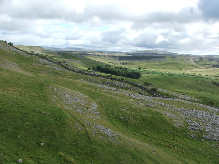
The walled lane continued down to Wharfe seen here before exiting onto the Austwick - Helwith Bridge road.
After crossing the road I was back into another lane (Wood Lane) which would take me to Austwick.
Looking to Austwick from Wood Lane
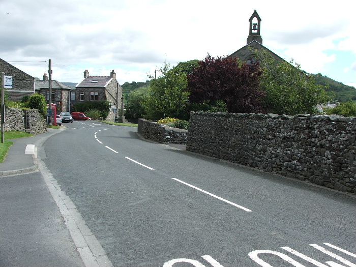
Austwick
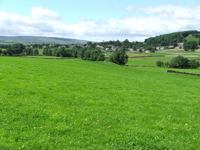
From Austwick it was a simple 2 mile walk on field paths back to Clapham
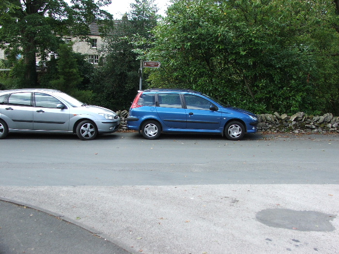
Back at Clapham and I couldn't open the tailgate!.....good job there was room in front.
Next Walk: 8th August 2007 -- Cunswick and Scout Scar from Kendal
Last Walk: 5th August 2007 -- A coast and canal walk from near Glasson Dock