
| Area: | Lake District | Ascent: | 1242 feet |
| Walk No: | 55 | Time: | 4 hours |
| Date: | 8th August 2007 | Parking: | Serpentine Woods at Kendal. GR: SD511928 |
| Distance: | 9.5 mile | Weather: | Fine and Sunny |
| Route: | Serpentine Woods - Cunswick Scar - Scout Scar - Helsington Barrows/Church - Scout Scar - Serpentine Woods |
By myself again today. Edith was feeling a little better but having missed visiting her brother yesterday she was going today. After dropping her off I set off north to Kendal and parked the car near the Serpentine Woods. My route would take me first to Cunswick Scar then along the top to Scout Scar more or less following the route in AW's "The Outlying Fells of Lakeland". From the cairn on Scout Scar I carried on through Helsington Barrows to the church for the views into the Lythe Valley. I then returned to the cairn before taking the path down back to Kendal.
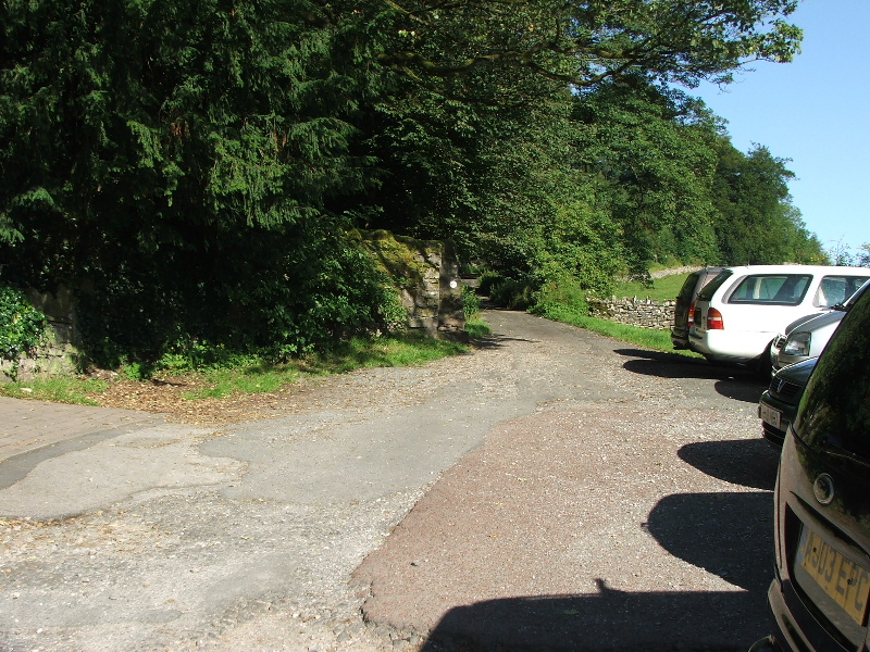
The parking spaces at Serpentine wood. From here I took the lane straight ahead.
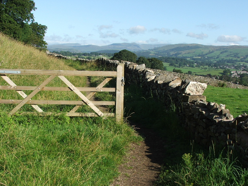
The lane soon narrowed into a small path with nice views
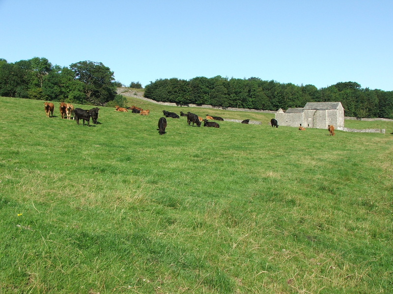
Further along the path crossed this field to the left of the old barn and then turned left and up.
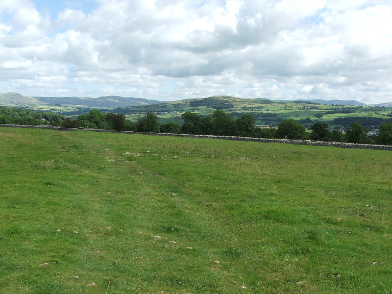
Looking towards Cunswick Scar top. The busy A591 runs between the two walls you can see.
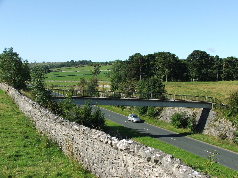
The footbridge over the A591
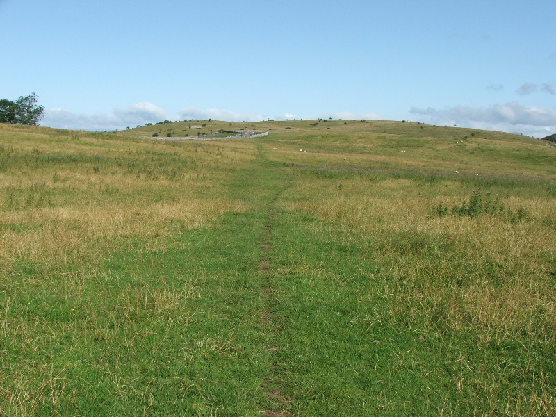
Having crossed the A591 the path rises gently up Cunswick Fell
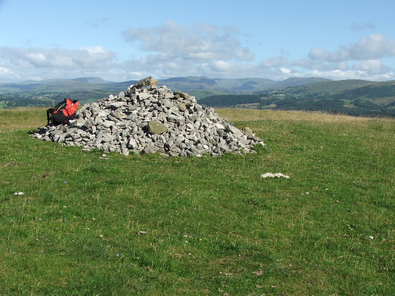
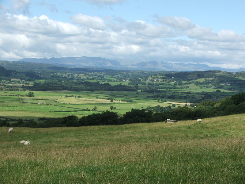
The summit cairn of Cunswick Fell with the Kentmere Fells to the right
Looking to the Coniston Fells from Cunswick Fell
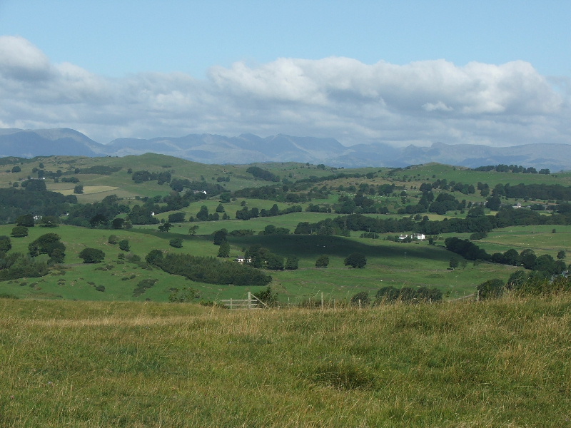
Looking to the Langdale Fells from Cunswick Fell
and to the Kentmere Fells
and the Shap Fells
From Cunswick Fell summit my path lay ahead towards the pylon on the skyline
Looking back to Cunswick Fell from the path to the pylon
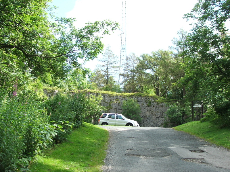
The minor road from Kendal to Underbarrow passes over the fell here. This is Scout Scar car park with the pylon behind. The path to Scout Scar is through a gate on the opposite side of the road.
From the car park it is only a few minutes walk with little climbing before you are on Scout Scar.
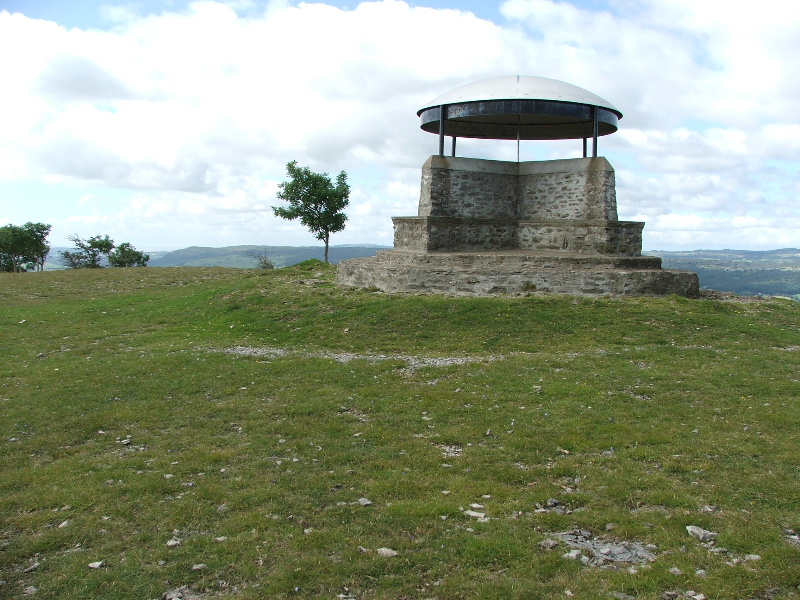
The shelter on Scout Scar, erected in 1912 as a memorial to King George V and restored in 1969.
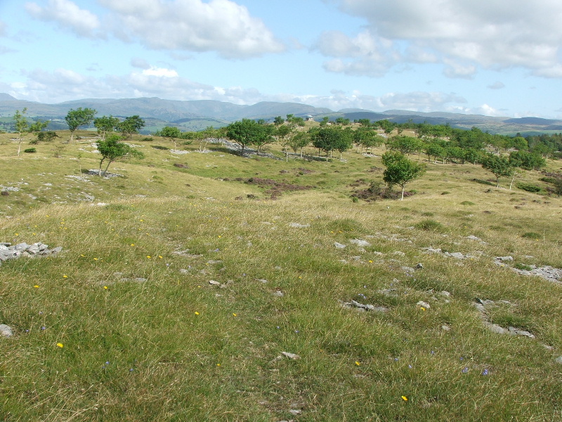
The top of Scout Scar is covered with many paths. This one keeps to the highest point of the ridge.
Looking back to the shelter from the path along the ridge.
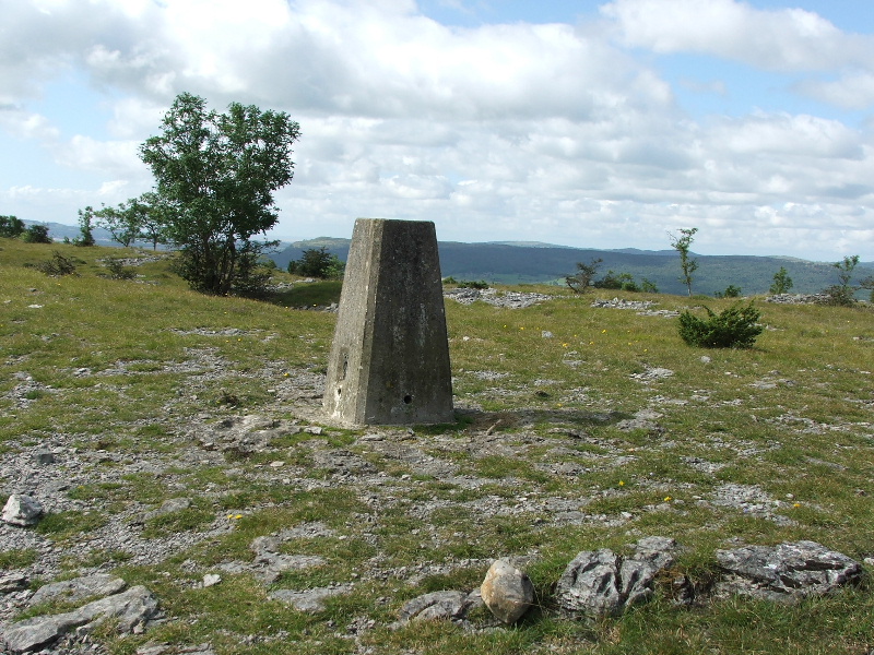
Eventually after passing through a cross wall I reached the triangulation marker.
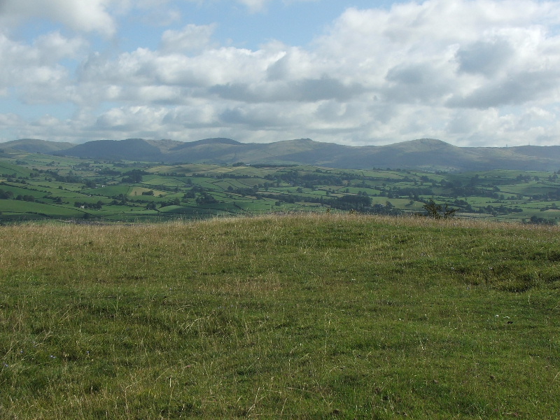
Looking over the wall towards the Coniston Fells
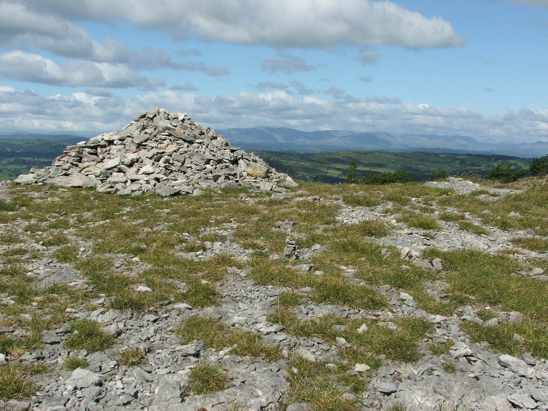
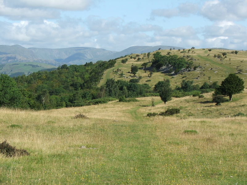
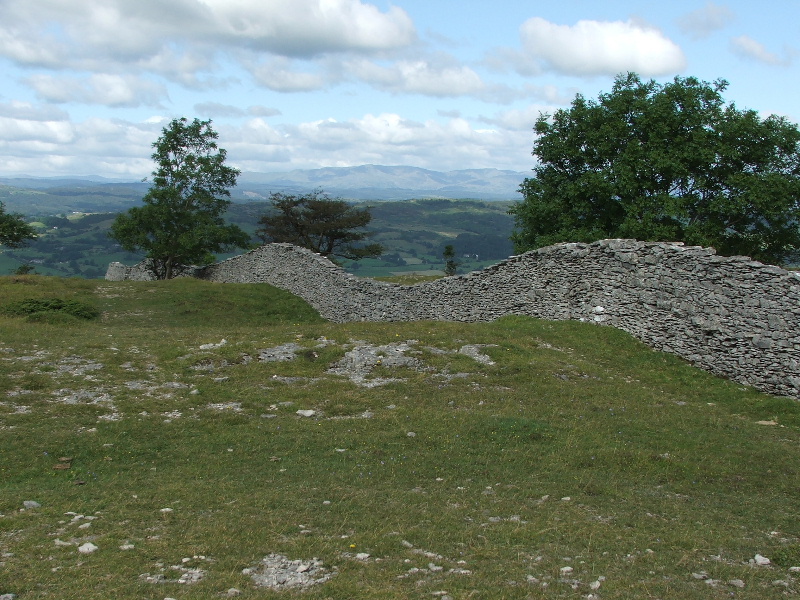
A few minutes more along the ridge brings me to this cairn. In his Outlying Fells guide this is as far as AW goes before descending to Kendal. I however decided to carry on a little further and then come back to here.
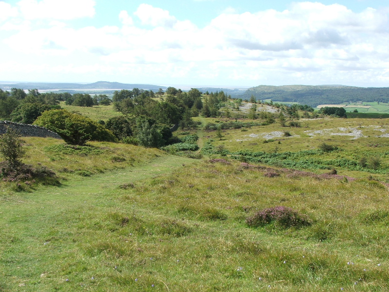
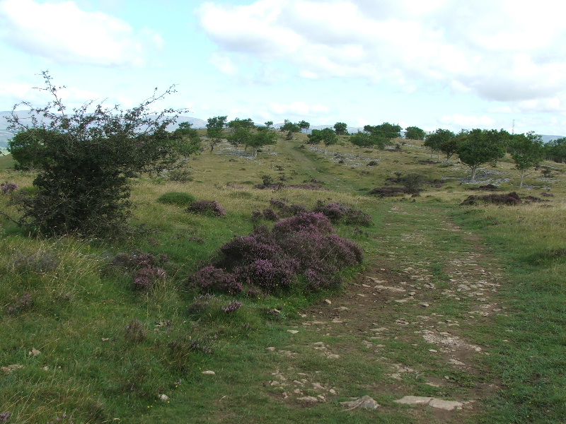
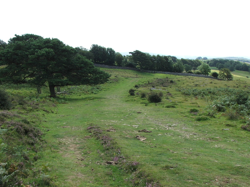
In my opinion the best part of the route lays ahead towards Helsington Barrows
Looking back to Scout Scar from the path down to Heslington Barrows
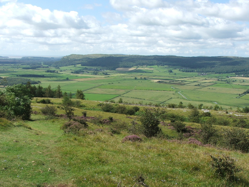
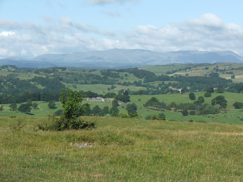
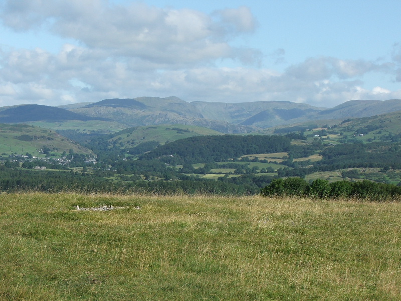
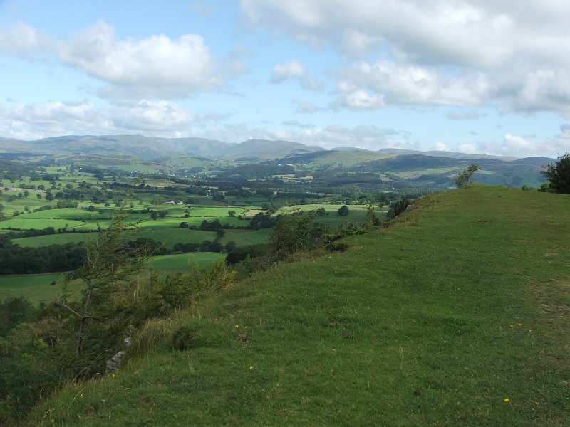
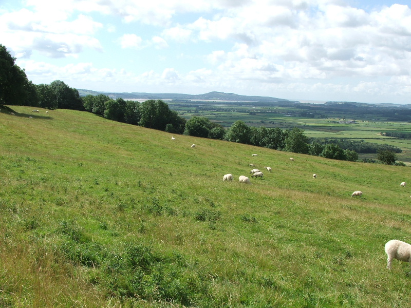
And across the deicous Lythe Valley to Whitbarrow
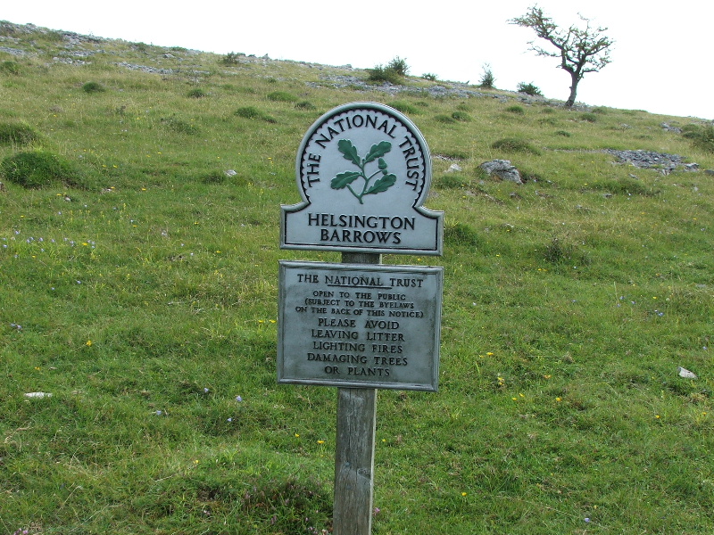
Entering Heslington Barrows
The path drops down to the wall where I cross the Kendal to Brigsteer road to go to Heslington Church
Taken from near the Church looking to Arnside Knott
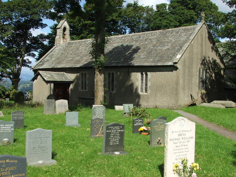
Heslington Church
What a place to come for a picnic
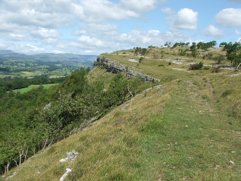
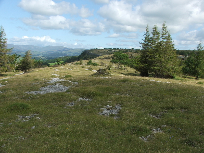
From the Church I made my way back along to the cairn on Scout Scar but this time I followed the edge of the scar rather than the summit
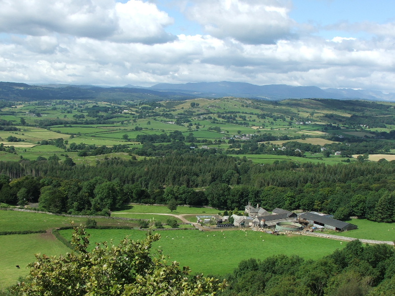
Looking down to Barrowfield farm. A path runs up the scar from there and crosses the summit to Kendal. That would be my return route.
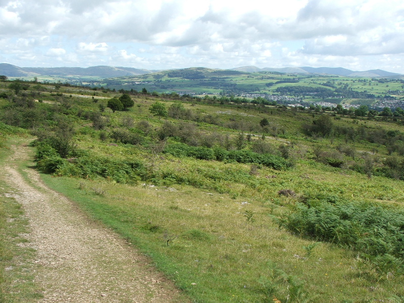
I'm well on my way back now and Kendal can be seen to the right.
The path exits onto the Kendal - Brigsteer road from where it was a 15 -20 minute walk back to the car.
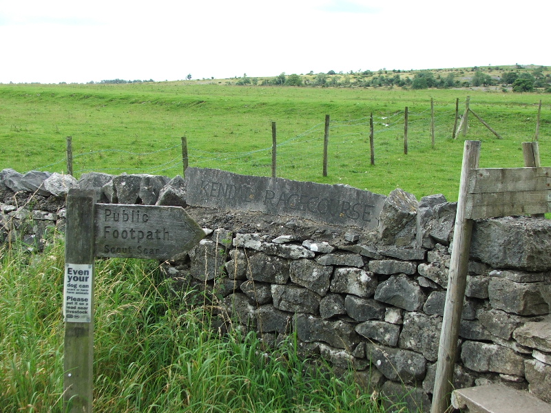
I've walked by here many times and never noticed the racecourse sign before. I seem to remember visiting the site as a youngster, not for the races, I think there was some sort of fair on the site. The raised banking you can see above the sign is the actual racecourse.
Next Walk: 10th August 2007 -- Blea Rigg and Stickle Tarn from Elterwater
Last Walk: 7th August 2007 -- Norber and Crummackdale from Clapham