
| Area: | Lake District | Ascent: | 2122 feet |
| Walk No: | 56 (1) | Time: | 5h 15m |
| Date: | 10th August 2007 | Parking: | Elterwater |
| Distance: | 9.00 miles | Weather: | Fine and mostly sunny to start becoming overcast with one light 15 minute shower |
| Route: | Elterwater - Spedding Crag - Blea Rigg - Stickle Tarn - New Dungeon Ghyll - Chapel Stile - Elterwater |
By myself again today. Edith is feeling a whole lot better and would have probably come but we are looking after one daft boxer dog and a very nervous cat for our Son and his wife while they are in Lithuania visting her parents for 3 weeks. The dog known as George is a lovable character but not in very good health so taking him on the fells is out of the question. Anyway, I was parked up and walking from Elterwater at 8am and took a series of narrow paths leading slowly up to the ridge which I joined at Spedding Crag. I then followed the path around the top of Megs Gill and over Little Castle How and Great Castle How to the summit of Blea Rigg. From there I descended to Stickle Tarn and down Stickle Ghyll to the New Dungeon Ghyll. My return to Elterwater was down the valley bottom on a path to Chapel Stile and finally back to the car.
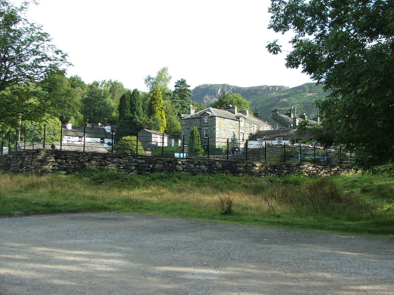
Early morning in Elterwater
I just headed up the fellside taking a path that sloped up towards Spedding Crag
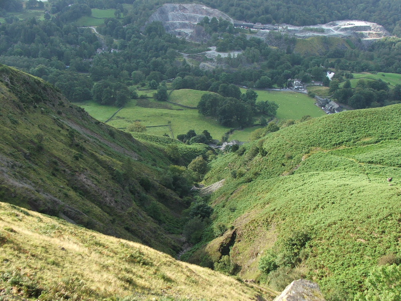
Looking back to Elterwater as I started to climb
From a little higher looking over to Wetherlam

and to Lingmoor Fell
Before to long I had reached the ridge with views across to Silver How
and to Helm Crag (centre) with the Helvellyn ridge under cloud
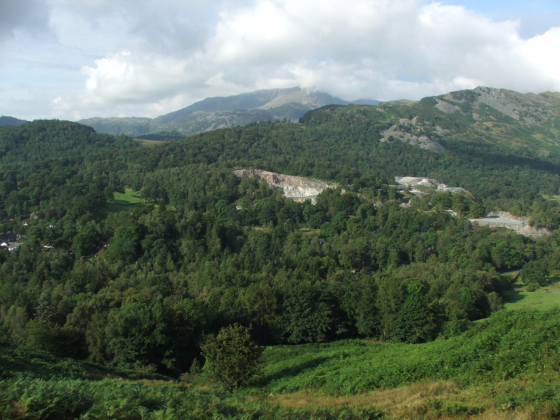
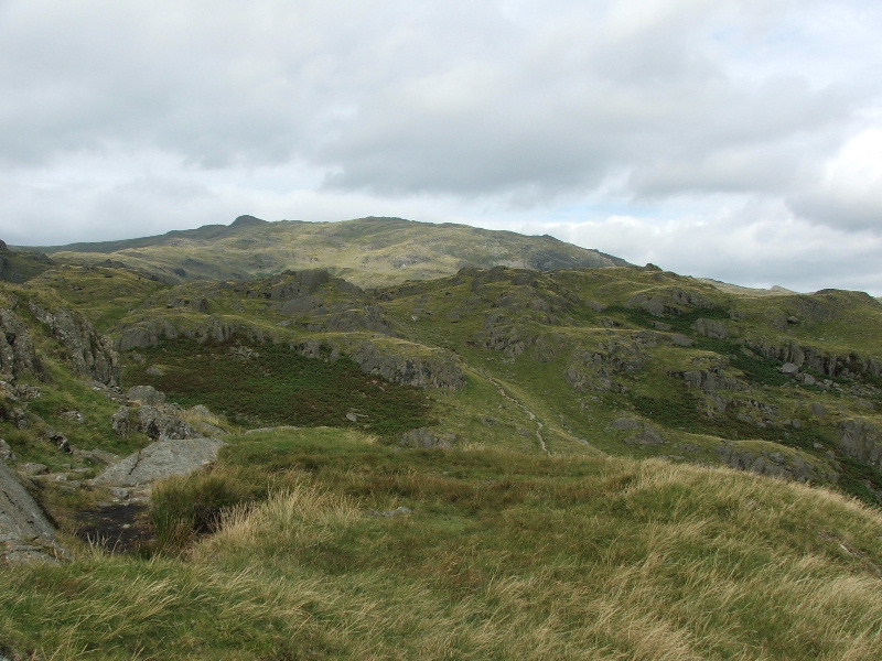
My way lay ahead. I kept to the highest ground as much as I could.
Looking across Lingmoor to Wetherlam. The cloud was lifting of the higher fells at this point and I thought the day was going to improve.
Lingmoor Fell
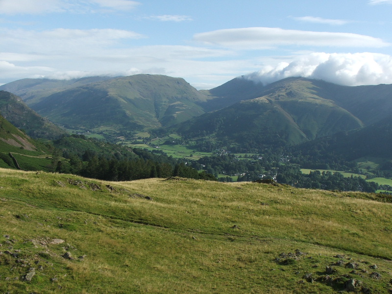
Looking back to the Helvellyn Ridge and Fairfield with a plume of white cloud
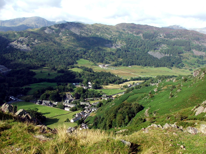
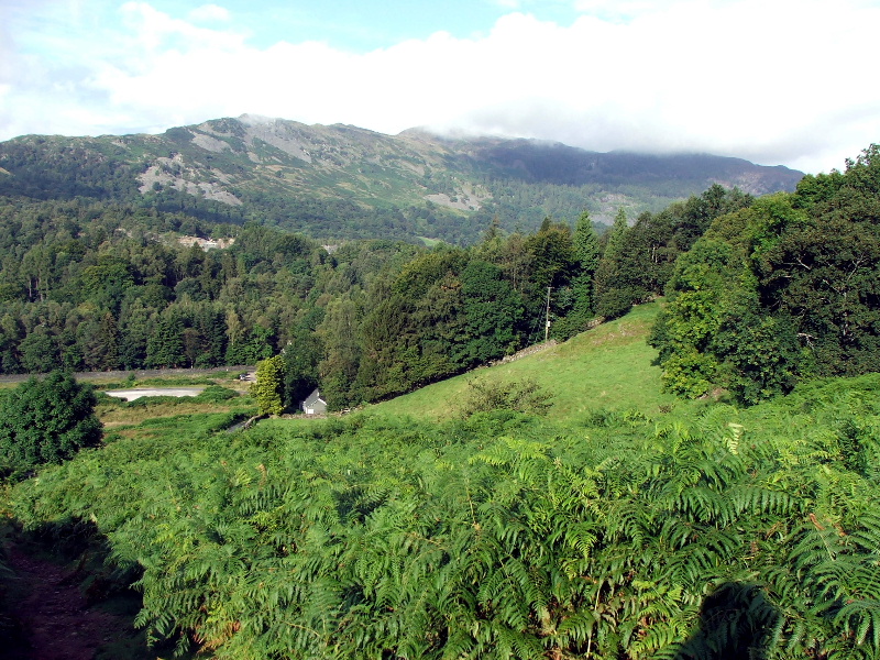
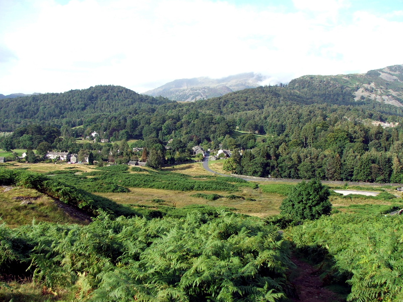
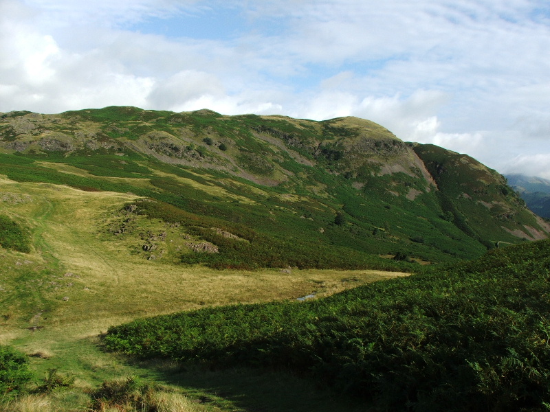
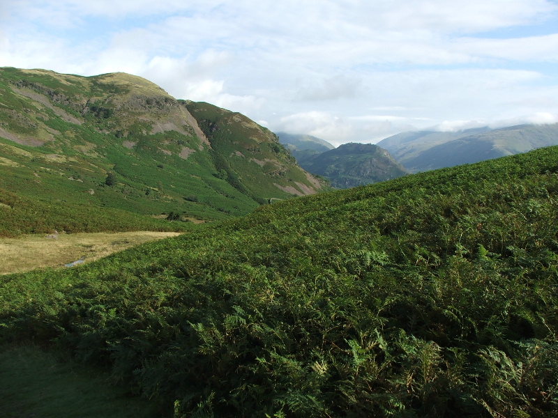
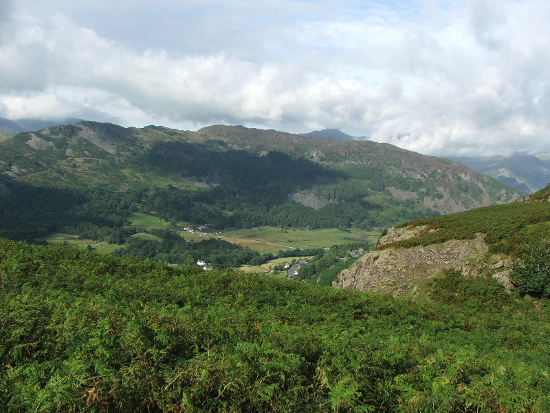
Approaching Megs Gill and looking down to Chapel Stile
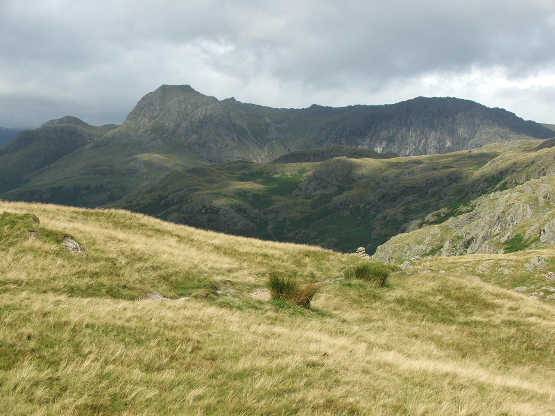
From Megs Gill looking to Lingmoor with Pike O' Blisco behind . The Crinkle Crags are in the cloud.
Megs Gill
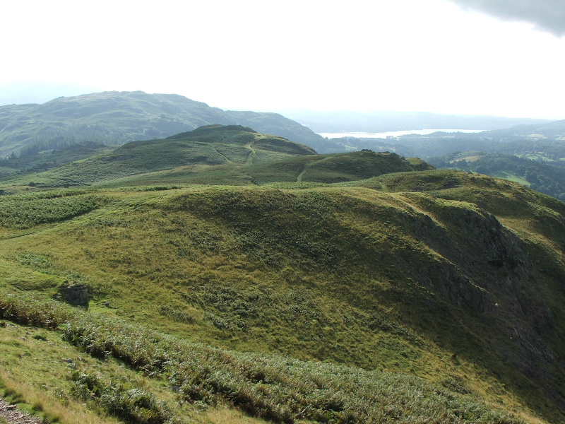
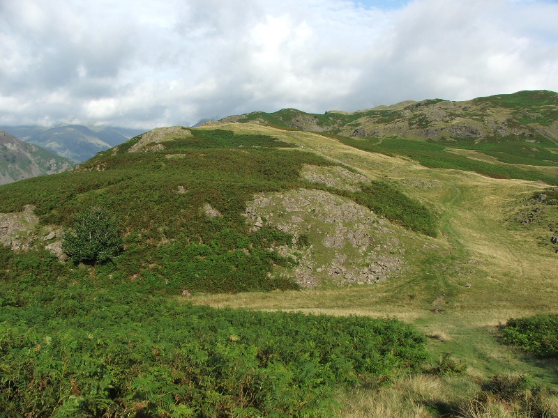
Looking back along the ridge with Windermere in the distance
Wetherlam , Swirl How and Great Carrs just show above Lingmoor Fell
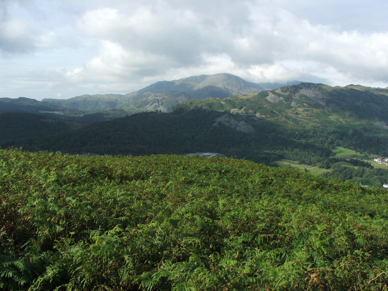
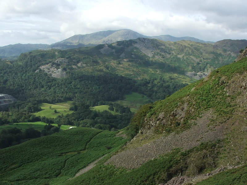
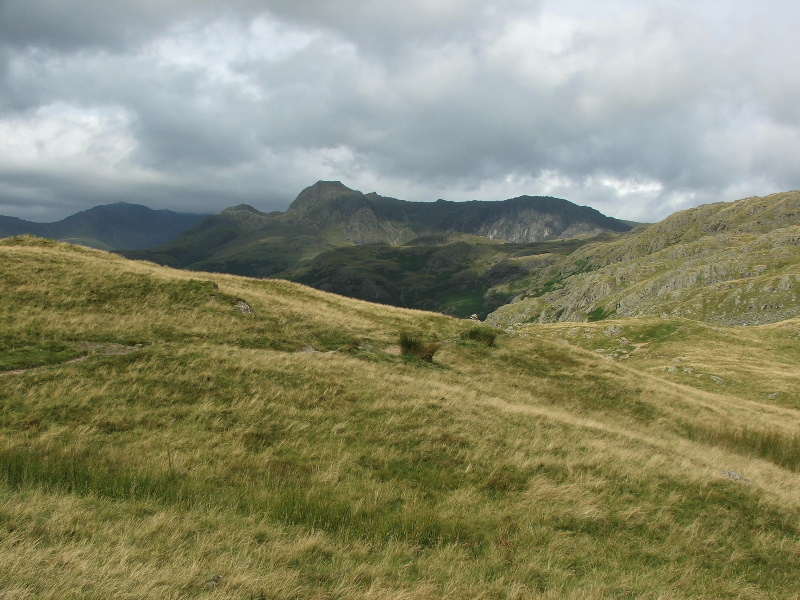
Pike O'Blisco, Crinkle Crags and Bowfell from the path to Swinescar Pike
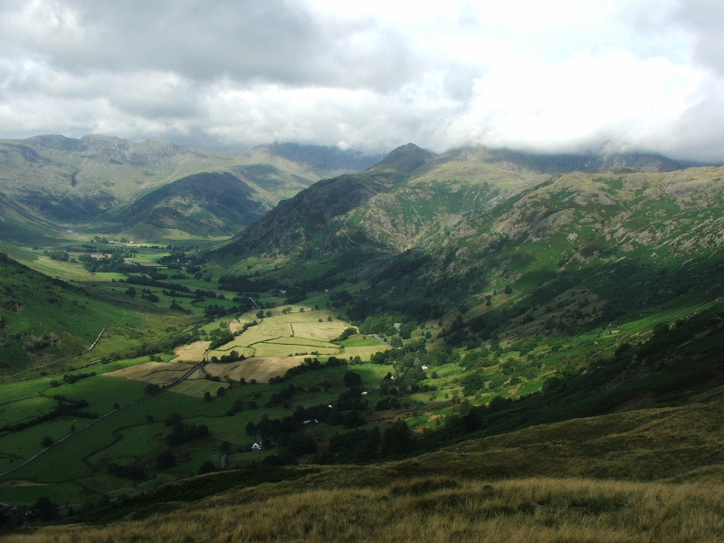
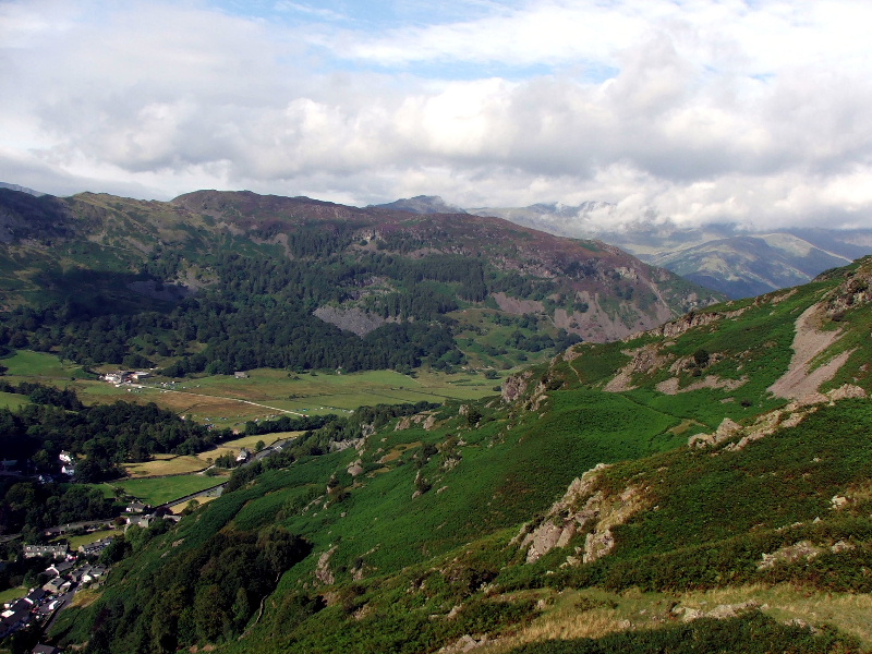
Sunlight picks out the mown fields in Great Langdale
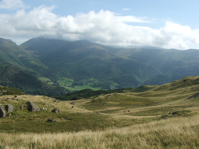
The western leg of the Fairfield Horseshoe with Stone Arthur in front
The Helvellyn ridge in the distance. Steel Fell is back left and the Helm Crag - Gibson Knott ridge mid picture
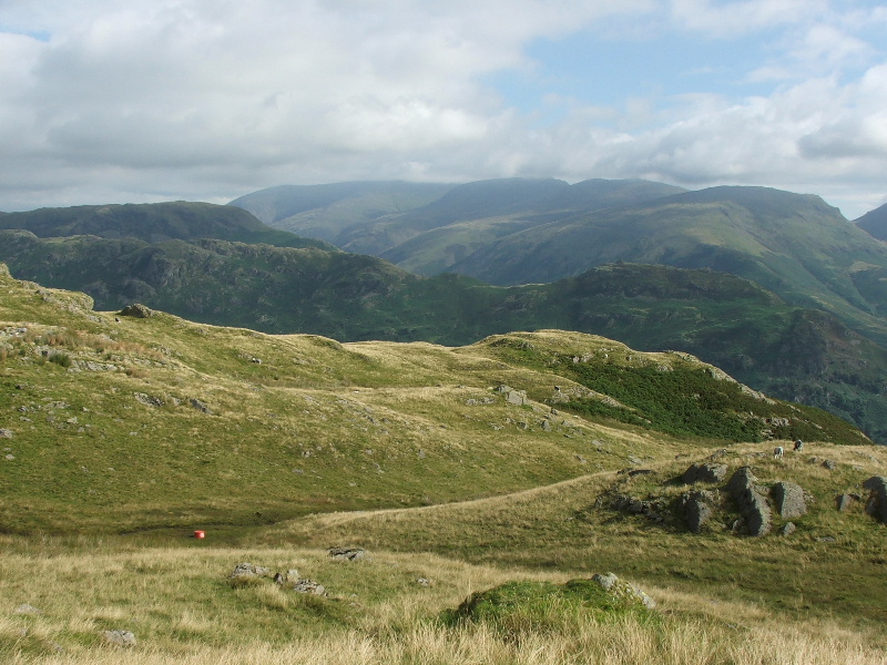
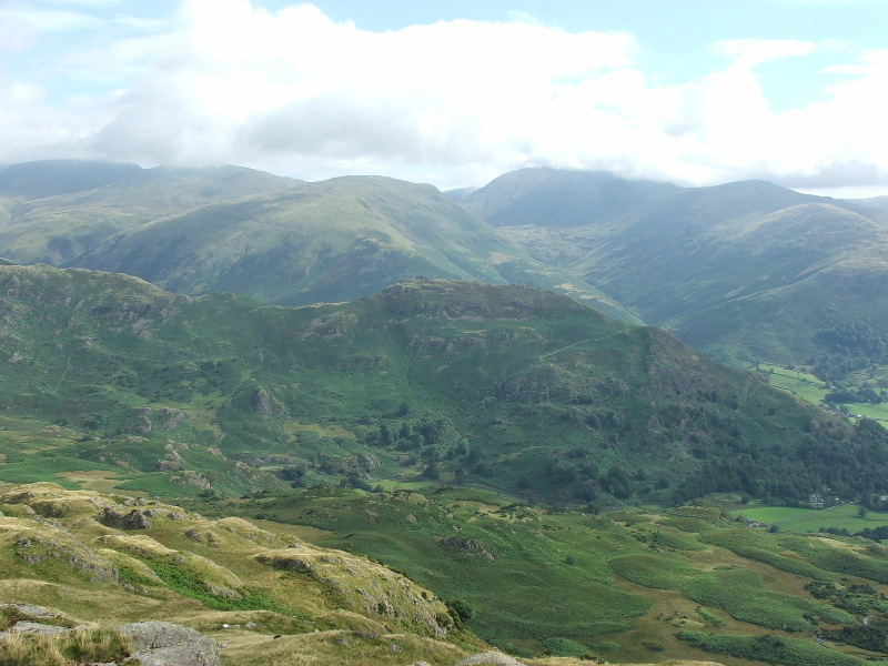
Looking over Helm Crag to Seat Sandal with Fairfield & Great Rigg to the right
As I got nearer to Blea Rigg the clouds to the west were thickening.
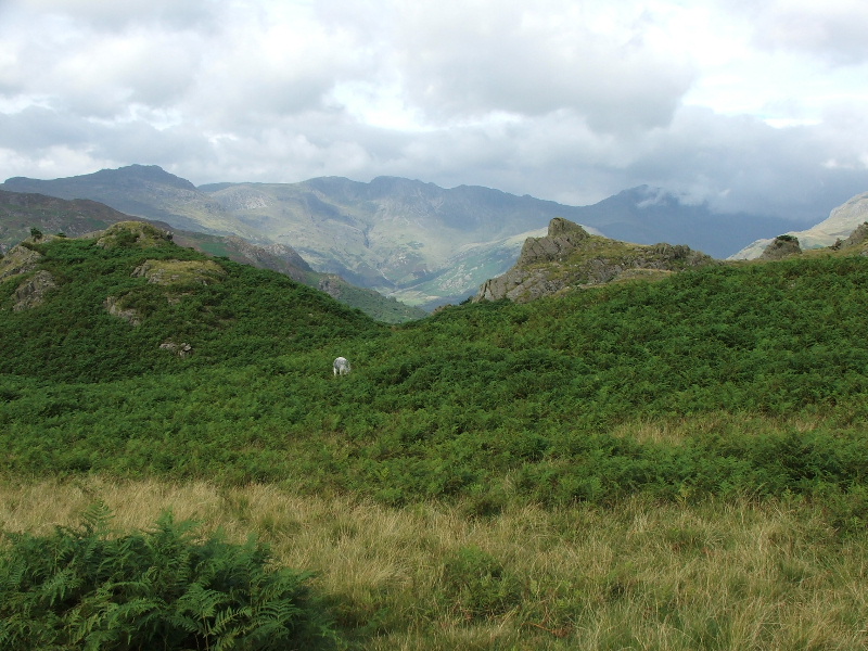
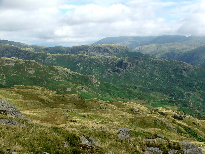
The Langdales from the approch to Blea Rigg
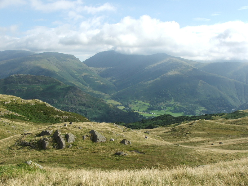
The Easedale Fells
Nearly there and Sergeant Man comes into view
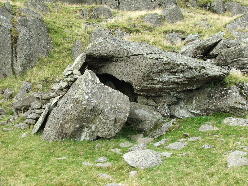
This is what AW in his book on the Central Fells calls the Shelter Stone. It is located just below the summit and seems an appropriate point at which to break.
For part two of this walk click here
Last Walk: 8th August 2007 -- Cunswick and Scout Scar from Kendal