| Area: | Yorkshire Dales | Ascent: | 2662 feet |
| Walk No: | 61 (1) | Time: | 8 hours |
| Date: | 20th August 2007 | Parking: | Roadside at Clapham |
| Distance: | 13.50 | Weather: | Fine with sunny spells becoming overcast later |
| Route: | Clapham - Trow Gill - Gaping Gill - Ingleborough - Long Scar - Gaping Gill - Long Lane - Clapham |
Today I met up with 17 other members of the Online Fellwalking Club (OFC) at Clapham for a walk up Ingleborough and for those who wanted a descent into Gaping Gill.
The footbridge over Clapham Beck.
The outfall from "The Lake"
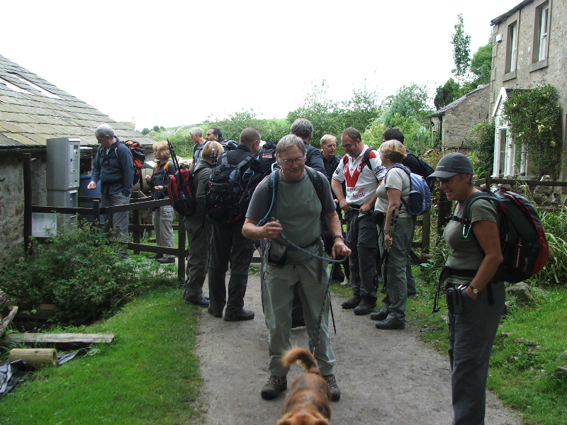
"Anbody got a 50p?"......There is a charge for the walk up to Ingleborough Cave via The Lake
The Lake....Created by the building of a dam in 1832 by the Farrer family who at that time were the owners of Ingleborough Hall now an Outdoor Education Centre.
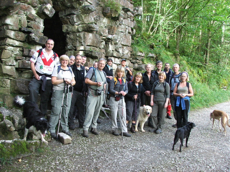
A group picture although I think we are missing a couple of the dogs. Don't dare ask me to put names on , not with my memory!
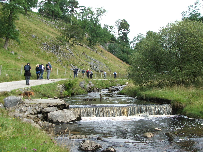
Out of Clapdale Wood now and on the way towards Ingleborough Cave.
The bridge near Ingleborough Cave. While the main group had a look around I moved on so that I could get some pictures at Trow Gill
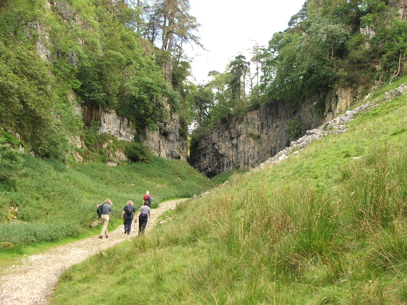
The approach to Trow Gill
The main group gathers at the base of Trow Gill.
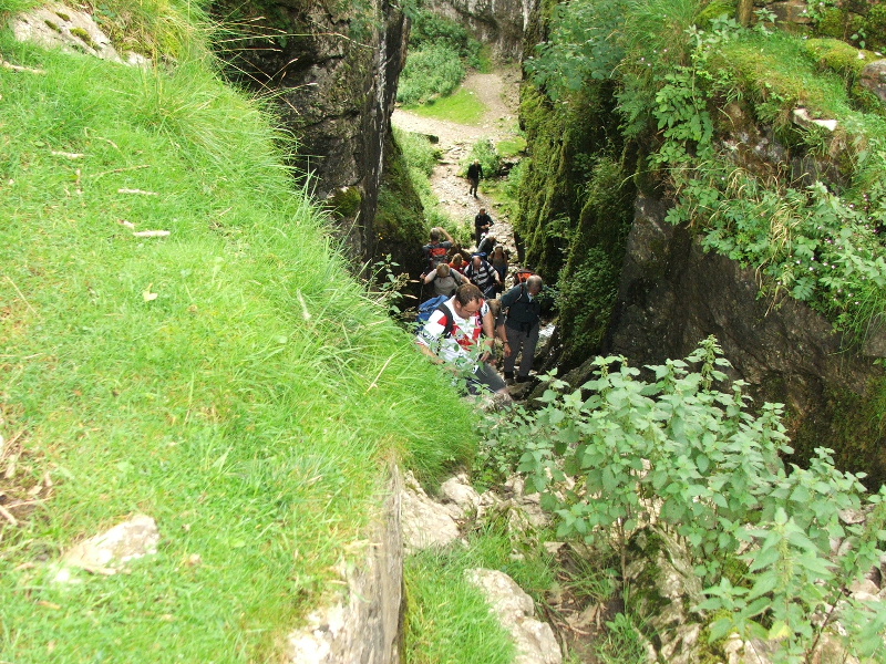
Nearing the top of the short climb up Trow Gill.
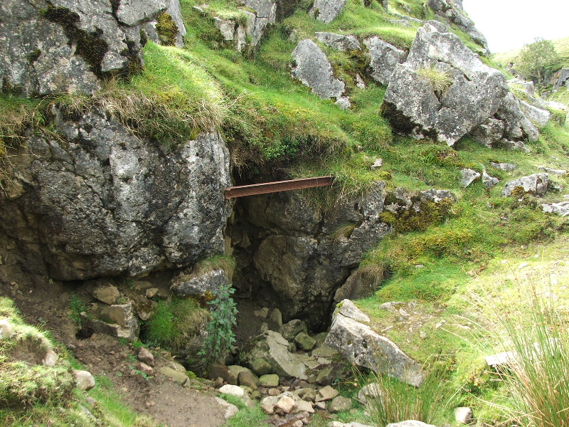
The blocked up entrance just above Trow Gill
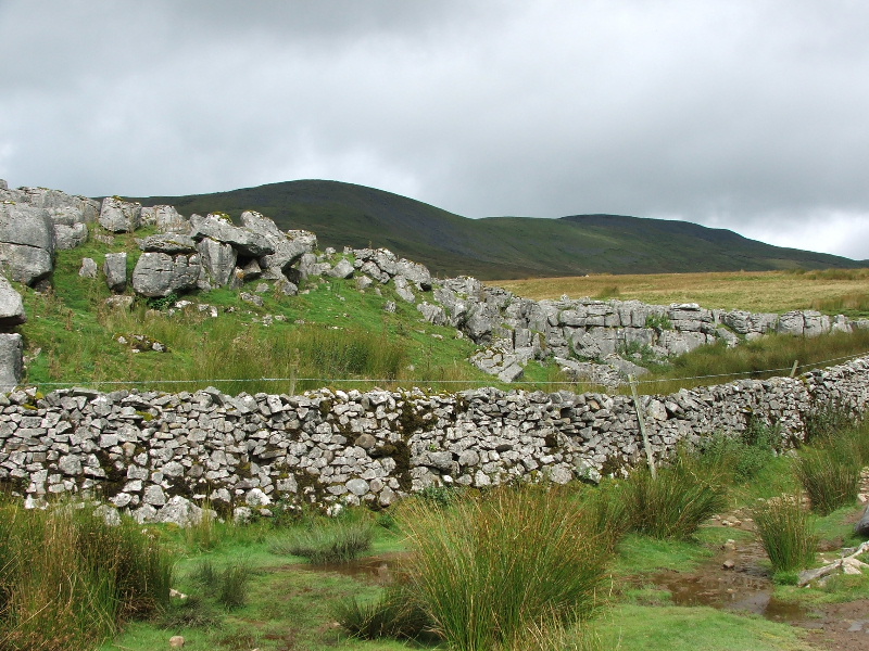
Ingleborough comes into view for the first time.
Less than 50 yards from where you cross the wall at the double stile is Bar Pot often missed by those headed for Gaping Gill
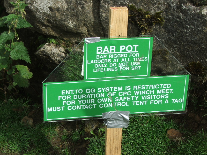
Information sign at Bar Pot
The entrance to Bar Pot
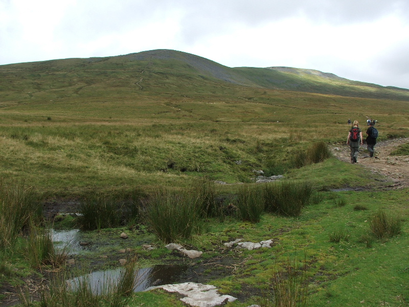
On the way to Gaping Gill
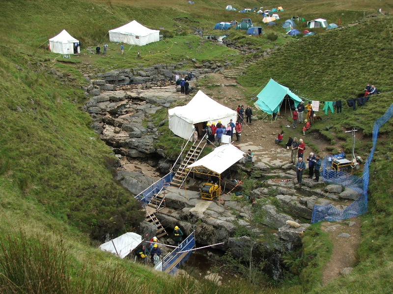
The "Winch Meet" is organised and run by the Craven Pothole Club and is well worth a visit.
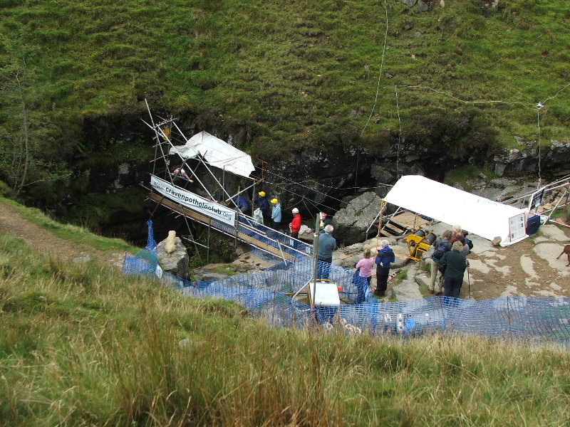
Only £10.00 and they'll even bring you back up for that. It can be a little on the wet side as I'm sure one or two members of the OFC will testify to.
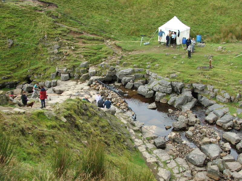
The beck above the entrance is diverted as can be seen here. Normally it would run to the left.
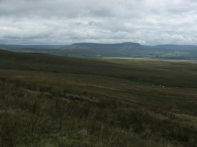
The main group had gone down to the tent to "book in" when I heard one of the organisers saying to someone that there was currently a 3 hour wait. I decided at that point to go up Ingleborough and try to meet up later. This shows Pen y ghent from the path up Little Ingleborough.
As I was ascending Little Ingleborough I noticed a group of walkers behind in the far distance. As there wasn't any other groups about I assumed it was the OFC group coming up Ingleborough and then going back to Gaping Gill.
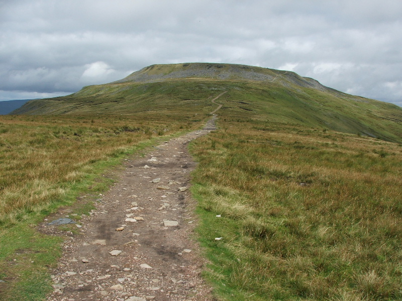
Ingleborough from Little Ingleborough
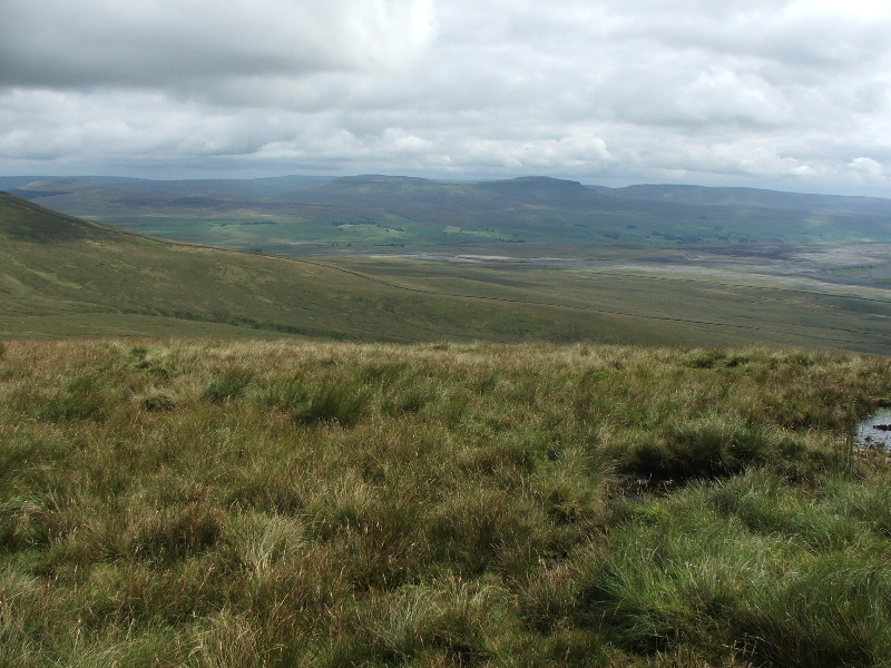
Nearly on the summit plateau and looking across to Pen y ghent and Fountains Fell
Only a matter of yards away from where the Little Ingleborough path reaches the summit plateau, the remains of the circular foundations of huts thought to be the summer camp of a Brigantean tribe of Celts in pre-Roman times.
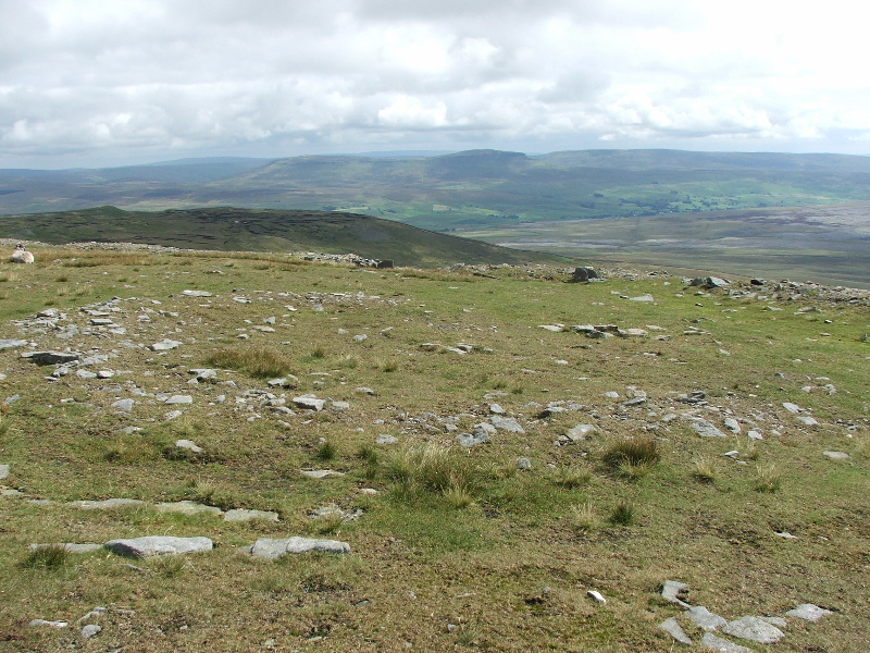
Another one overlooking the south face of the summit.
After having a look around I found myself a sheltered overlooking the Little Ingleborough path to have my "butties" and await the main group.
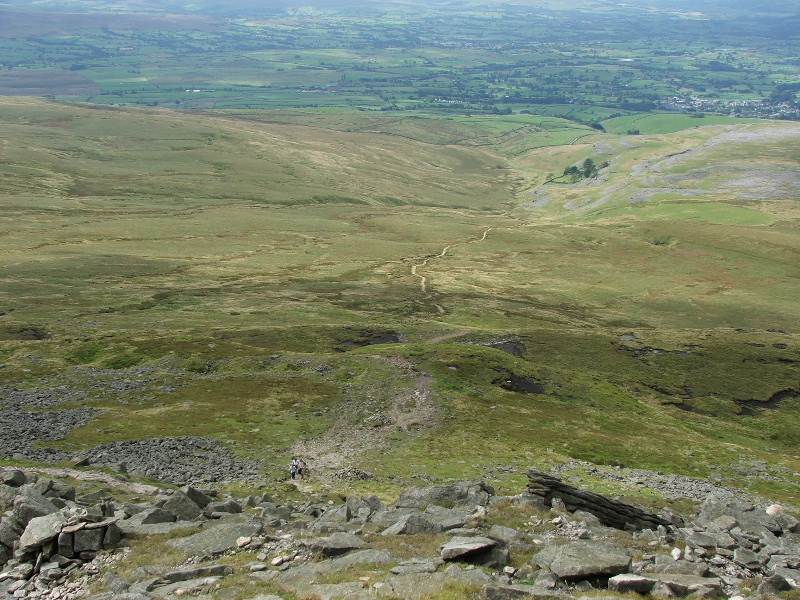
My spot also overlooked the path up past Crina Bottom farm, (in the trees) which is the main way up from Ingleton.
This seems an appropriate place to break. Once again because of the number of pictures I am breaking this into 2 parts to help those with slower Internet speeds.
To go to part two of this walk click here
Last Walk: 17th August 2007 -- Gummer's Howe from Gummers Howe car park