
| Area: | The Howgill Fells | Ascent: | 2688 feet |
| Walk No: | 62 (1) | Time: | 5 hours 45 mins |
| Date: | 23rd August 2007 | Parking: | Sedbergh |
| Distance: | 9.75 miles | Weather: | Fine & Sunny |
| Route: | Sedbergh - Winder - Arant How - Calders - Bram Rigg Top - The Calf - Calders - Crook - Sedbergh |
I'm not sure how long it is since I set foot upon the Howgill Fells but it must be over 10 years. Wainwright described the Howgills as like " a huddle of squatting elephants" because of the smooth rounded nature of the fells. The walking on these fells is good, most of the paths are on grass particularly on the southern fells. Today's walk started at Sedbergh but the Howgills can be accessed on all sides.
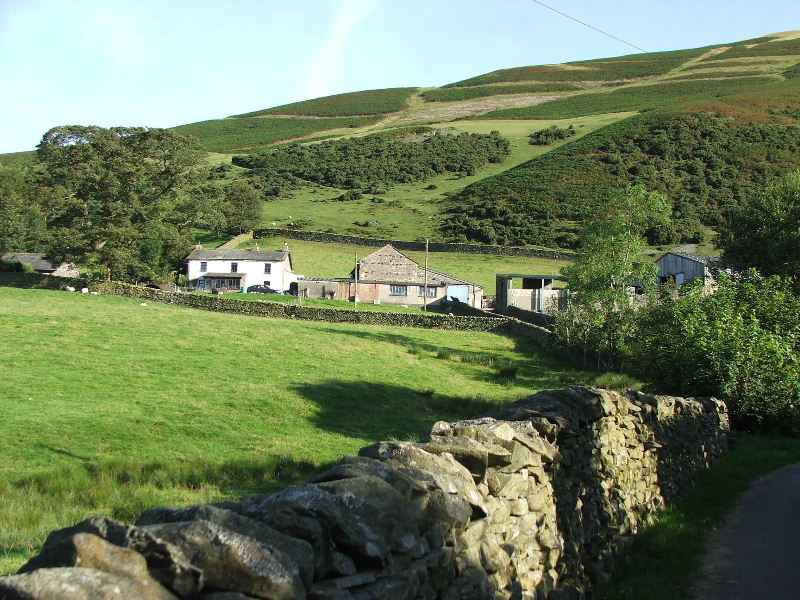
I left the car at Sedbergh and walked up Howgill Lane to access the fell at Lockbank farm. My first summit would be Winder part of which is shown above the farm.
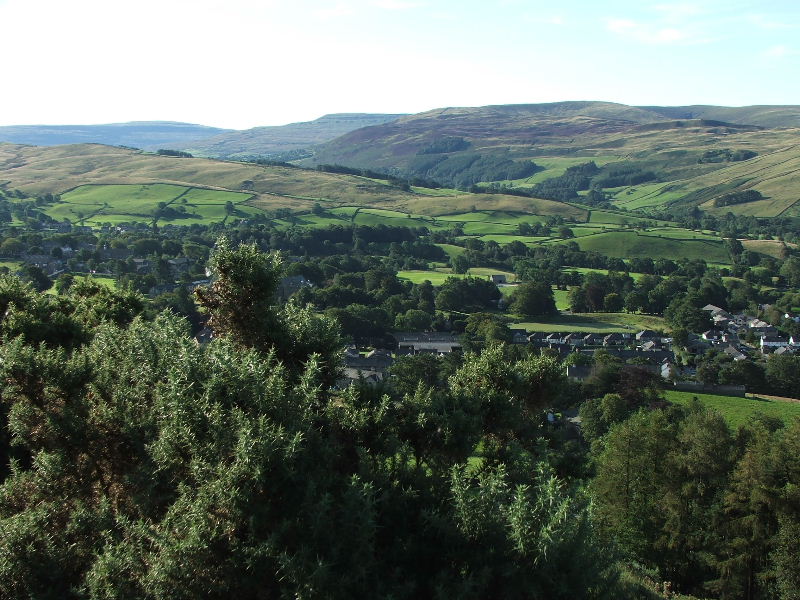
Looking down on Sedbergh from the way up Winder with Middleton Fell and Great Coum behind.
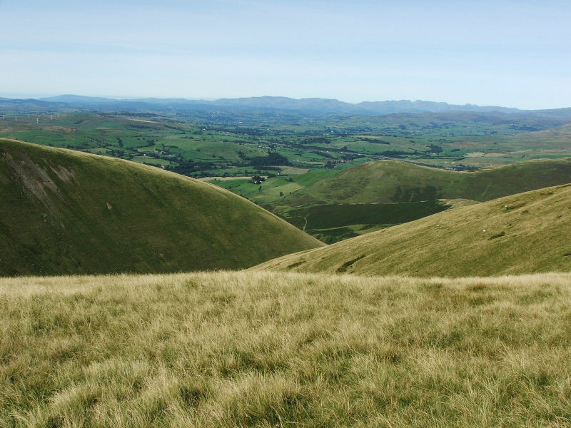
I had venture off-path and was finding the steep slopes a wee bit tiring but there was plenty of excuses for stopping . The water you can see mid picture is Killington Lake near the M6. Black Combe is in the far distance.
Eventually I struggled onto the summit of Winder (1551 feet) with its Trig point
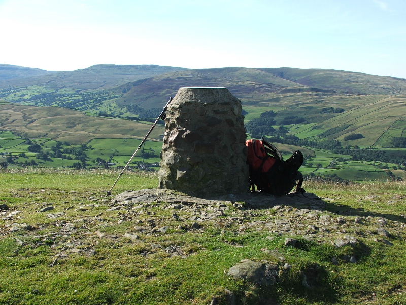
But this wasn't here the last time. The Millenium Cairn on Winder.
The views in all directions were fantastic. Looking to Lakeland with the wind farm near the M6 Kendal/Sedbergh junction.
Looking Nw towards the Lune Gorge
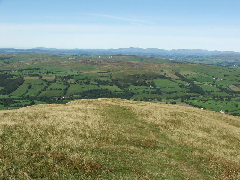
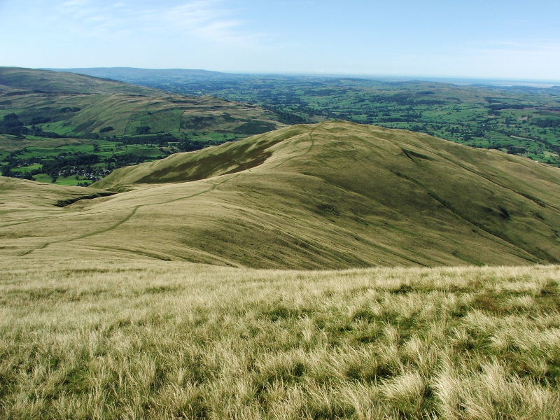
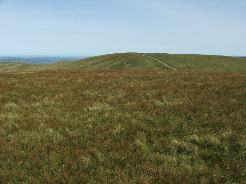
It would have been easy to linger on Winder but there were other old friends to visit. My way ahead to Arant Haw.
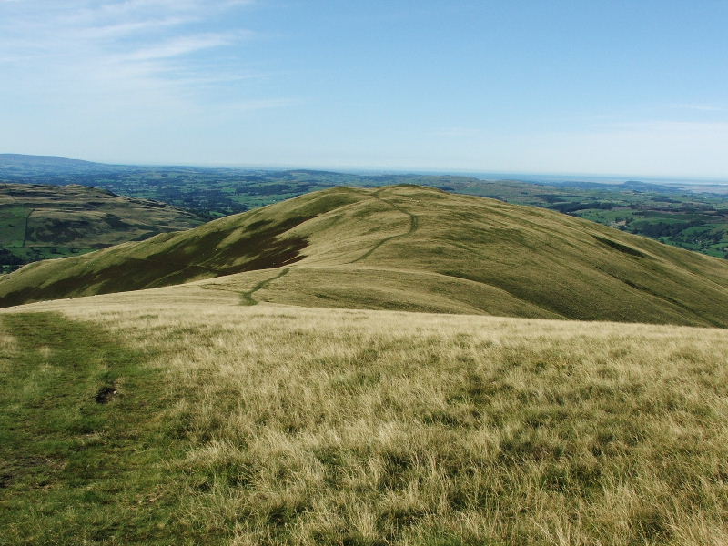
Looking back to Winder on my way to Arant Haw
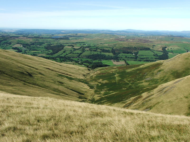
Looking down Crosdale Beck
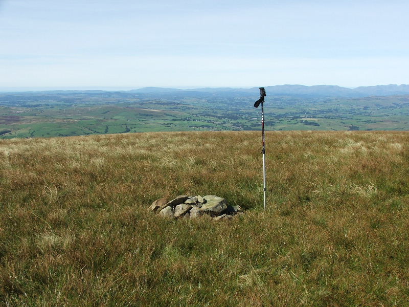
A rather small summit cairn on Arant Haw (1989 feet). Somebody must have brought these here, there were no others to be found.
Looking back towards Winder
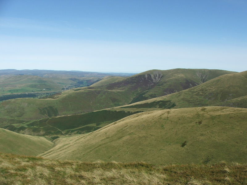
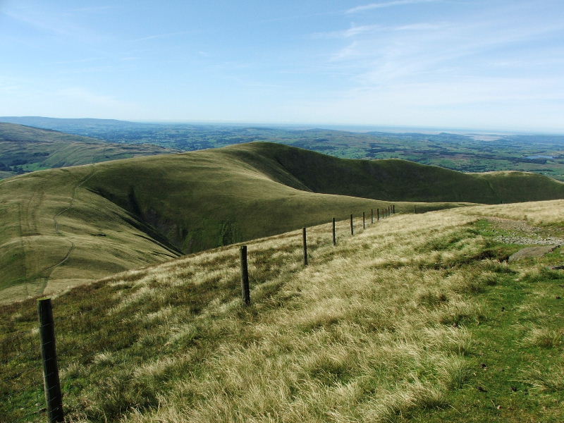
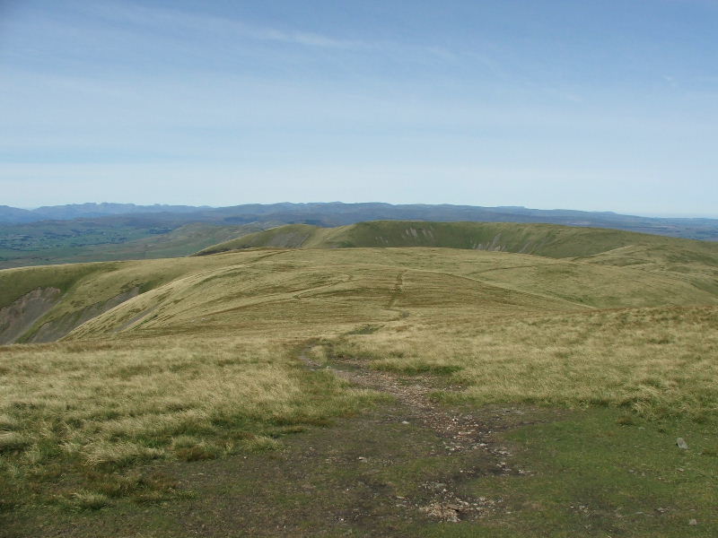
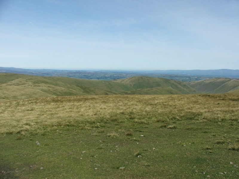
A confusion of ridges and valleys from Arant Haw. These include Brown Moor, White Fell, Bram Rigg and Brant Fell. It may be a good time to make the point that in bad weather conditions with restricted visibility it can be a little confusing, and going down the wrong ridge may add a few miles onto your walk. Today there was no such problems
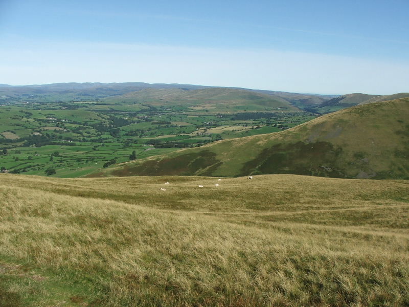
The Arant Haw ridge down to Crosedale
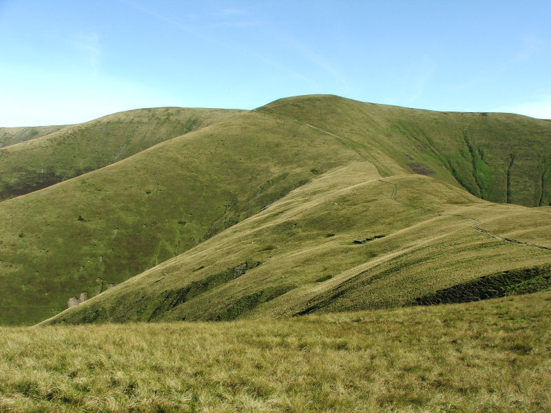
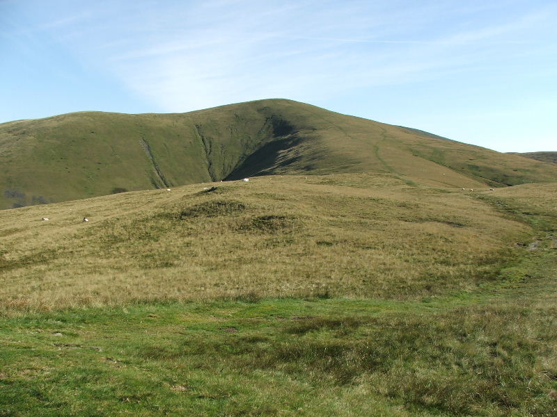
The way ahead to Calders and Bram Rigg Top
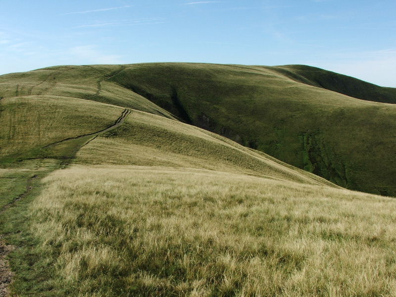
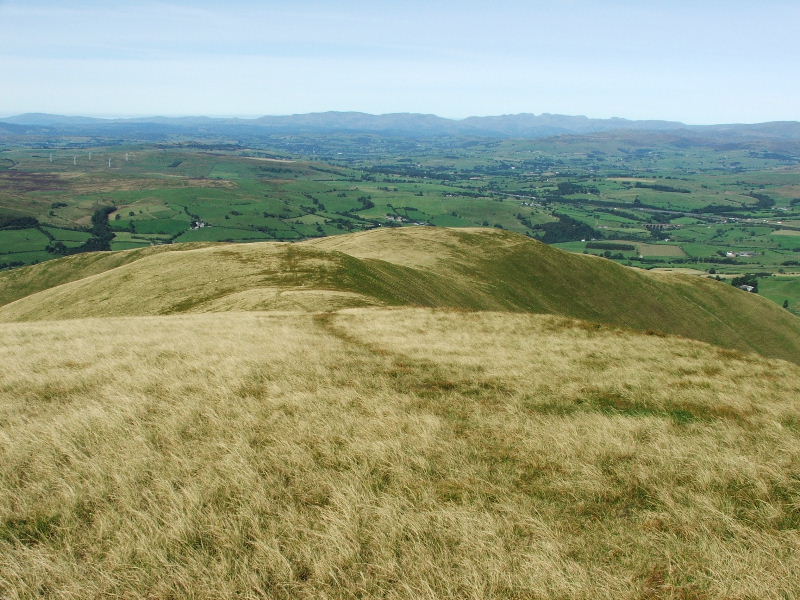
Looking back to Arant Haw from the path to Calders.
From the same place looking to Lakeland
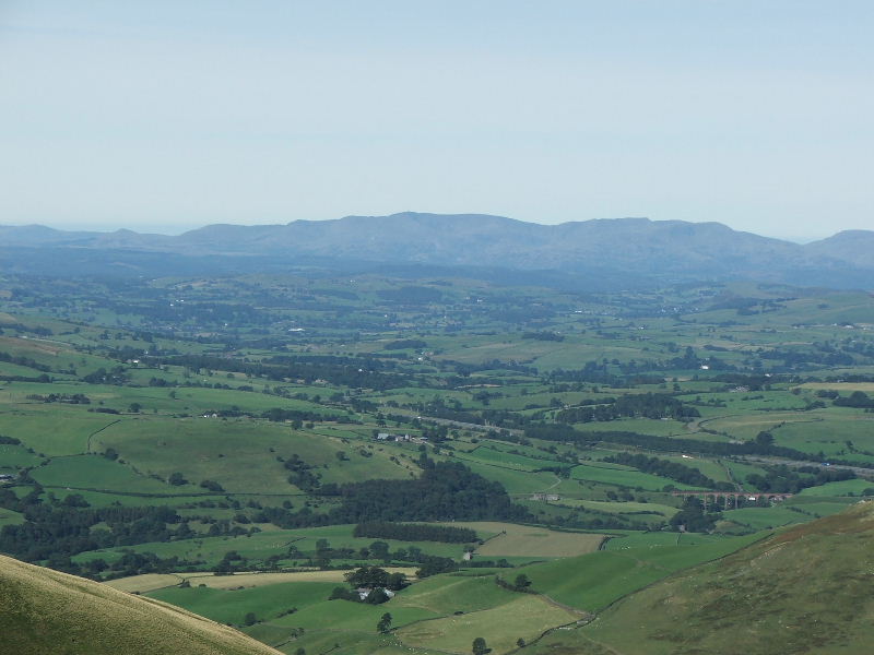
With a close up of the Coniston Fells
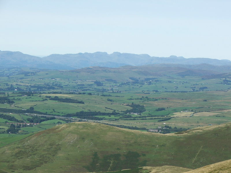
and to the Crinkles and Bowfell
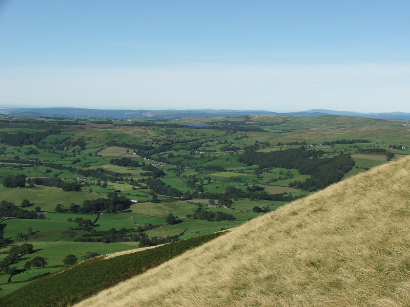
Calders summit with Ingleborough in the far distance (centre) and Pen y ghent on the far left
Arant Haw from Calders with Morecambe Bay in the distance
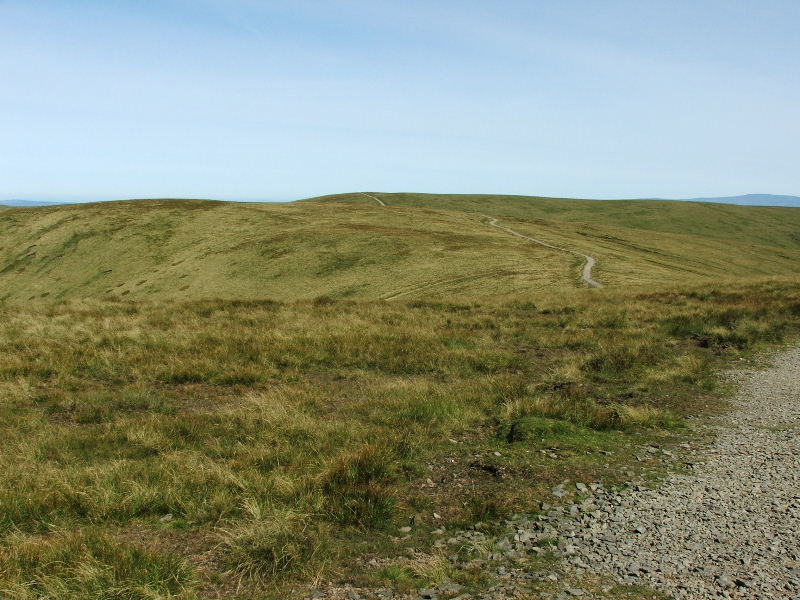
The "made" path to The Calf. I would divert slightly to visit the top of Bram Rigg
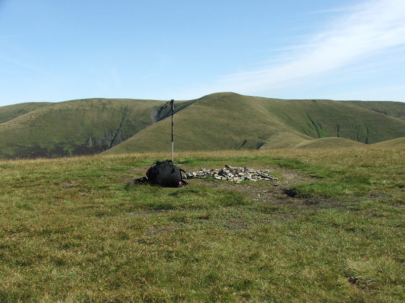
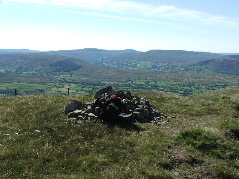
Another rather insignificant cairn on Bram Rigg Top.
Looking to The Calf with its Trig point just showing
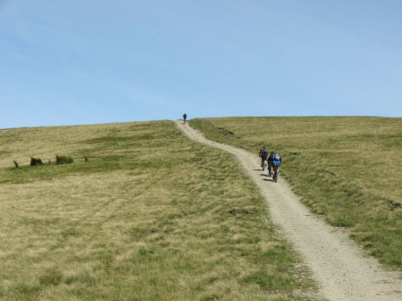
Approaching The Calf I was passed by 4 mountain bikers......At least they were doing better than those at Beacon Fell last week
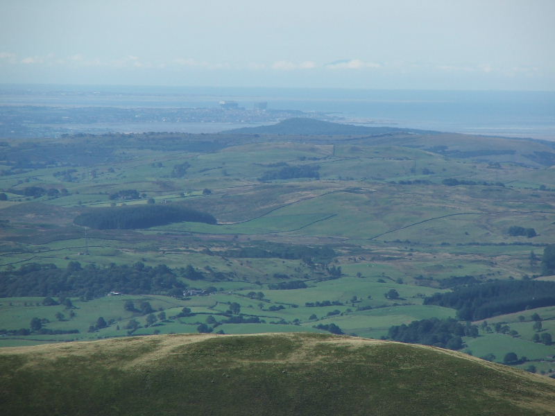
A close up of Heysham with the Power Stations. I can't see Edith waving, but is that the top of one of the mountains in North Wales?.......Answers on a postcard to.......
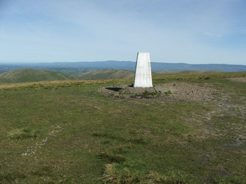
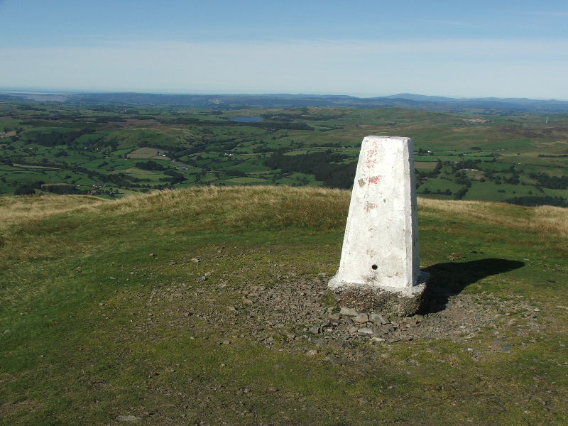
The summit of The Calf (2220 feet) with the North Pennines behind
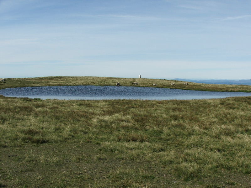
Summit tarn on The Calf
To go to part two of this walk click here.
Last Walk: 20th August 2007 -- OFC Meet at Clapham