
| Area: | Lake District | Ascent: | 2043 feet |
| Walk No: | 73 (1) | Time: | 4 hours 30 mins |
| Date: | 17th September 2007 | Parking: | At Loweswater next to the telephone kiosk |
| Distance: | 8 miles | Weather: | Fine with a few sunny spells. Still a little breezy |
| Route: | Loweswater - Darling Fell - Low Fell - Fellbarrow - Thackthwaite - Loweswater |
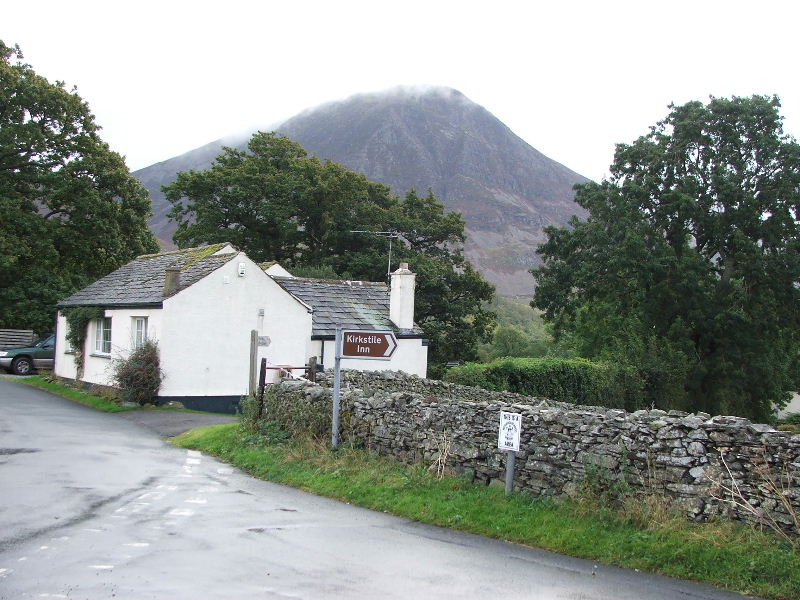
The walk today was to be in what I consider to be one of the most scenic areas of the Lake District. We left Wythop Mill and made our way to Lorton Vale via the Whinlatter Pass so that I refresh my memory on the parking situation for a walk later on in the week. We arrived at Loweswater around 9am and parked by the telephone kiosk. From there we walked along the road for a short while before taking the rising lane towards Mosser. After a short while we accessed the fellside by way of a stile and took the path through the bracken to Darling Fell. From there we descended to Crabtree Beck before climbing again to the southern end of Low Fell. We then headed northerly to the highest point of Low Fell and down to the gate near Watching Crag. From there we skirted around Sourfoot Fell and over Smithy Fell to the summit of Fellbarrow. From Fellbarrow we returned to the gate near Watching Crag and then down the path to Thackthwaite. From there it was a quiet walk back down the quiet lane to Loweswater feeding on Blackberries on the way. After changing our footwear at the car we walked down to the Kirkstile Inn for a pint. We returned to Wythop Mill via Buttermere, Honister, Borrowdale and Keswick.
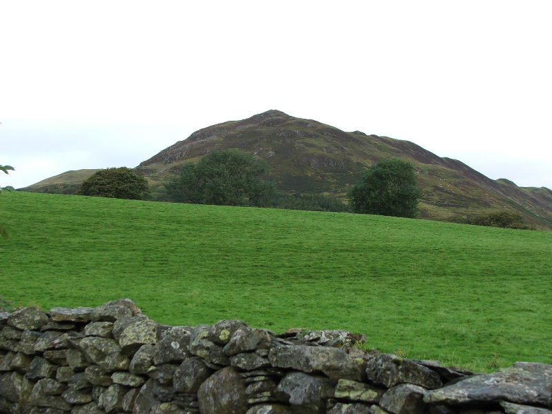
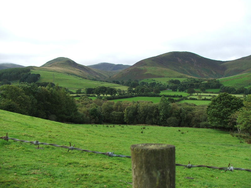
Low Fell from near the telephone kiosk, with Darling Fell just showing to the left.
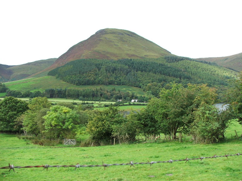
One of my favourite fells. Mellbreak from the phonebox.
Grasmoor from the phonebox.

It was difficult to start walking. There's so much to see just from the road. Rannerdale Knotts.
Eventually we did get moving along the road but I had to keep stopping and looking back. Mellbreak on the left with the rising ridge to Hen Comb on the right.
Moving to the right Gavel Fell comes into view.
and further right to Blake Fell. I hope I've got these right or someone from the Loweswater area will soon be correcting me.
We are on the rising path towards Mosser now looking back to Mellbreak and Hen Comb
Getting higher!......We have left the Mosser track and are climbing up Darling Fell
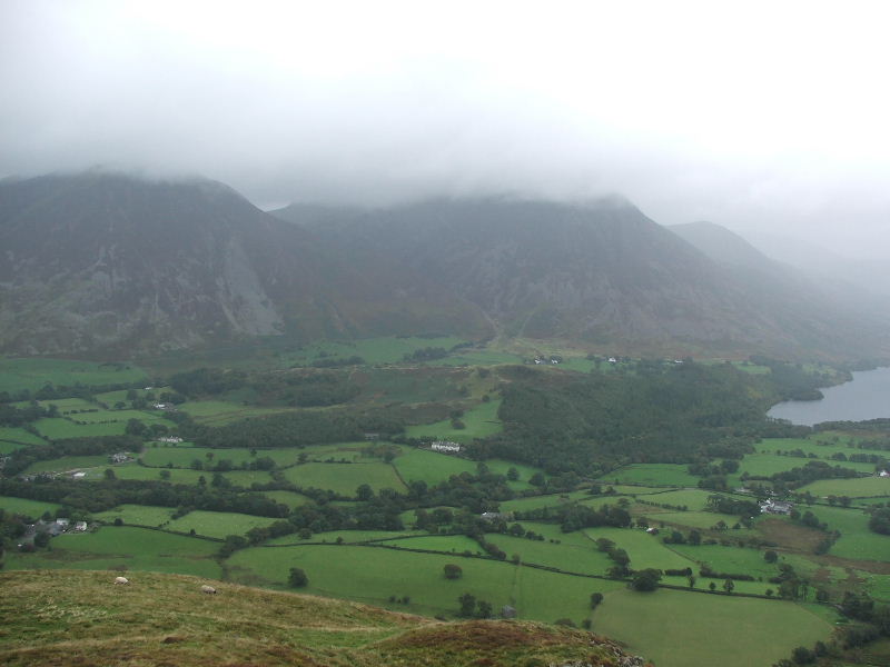
Looking across Loweswater to Blake Fell
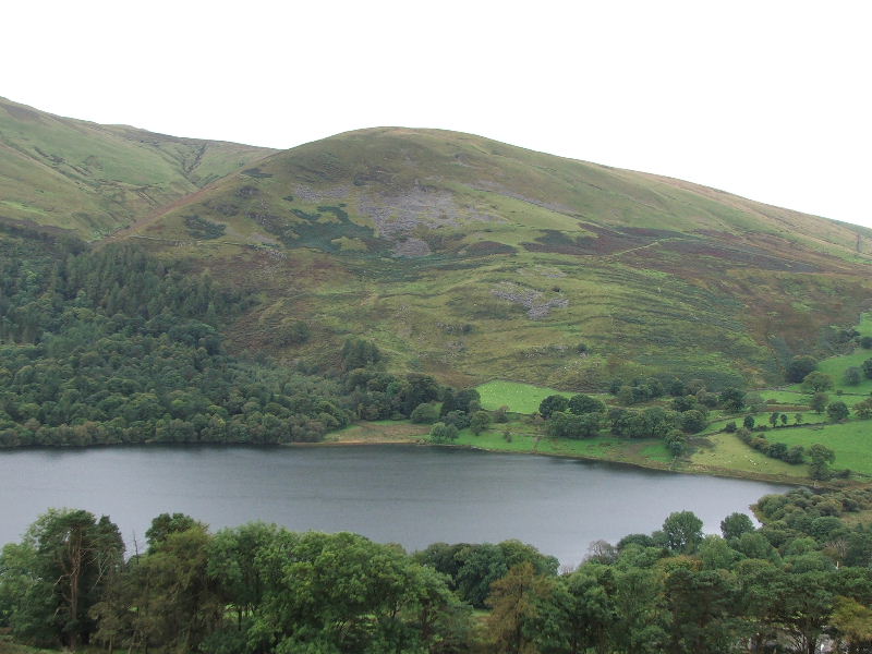
and further right to Burnbank Fell
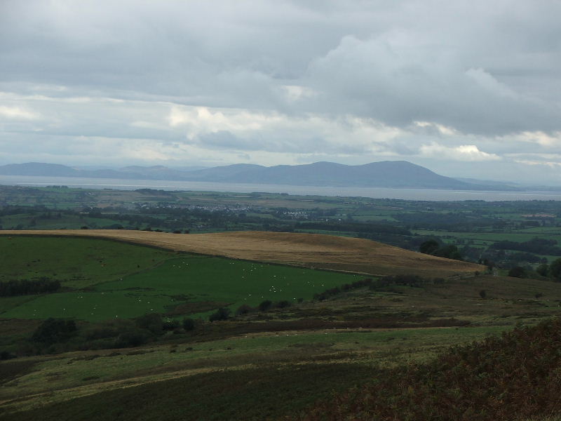
From Darling Fell looking across the Solway Firth to Criffel. At least I think it's Criffel, I'm not up on the Scottish hills
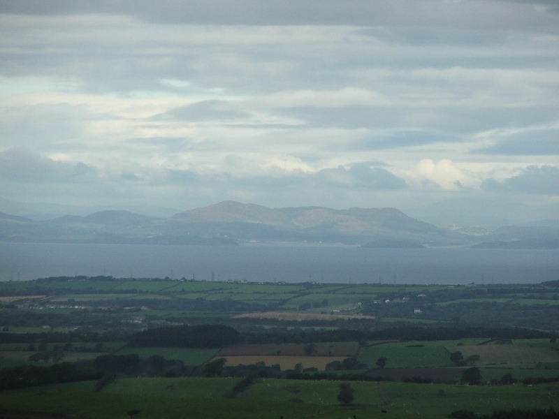
and to the left could this be Bengairn?.......answers on a postcard please
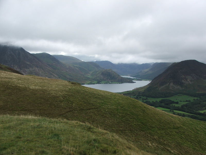
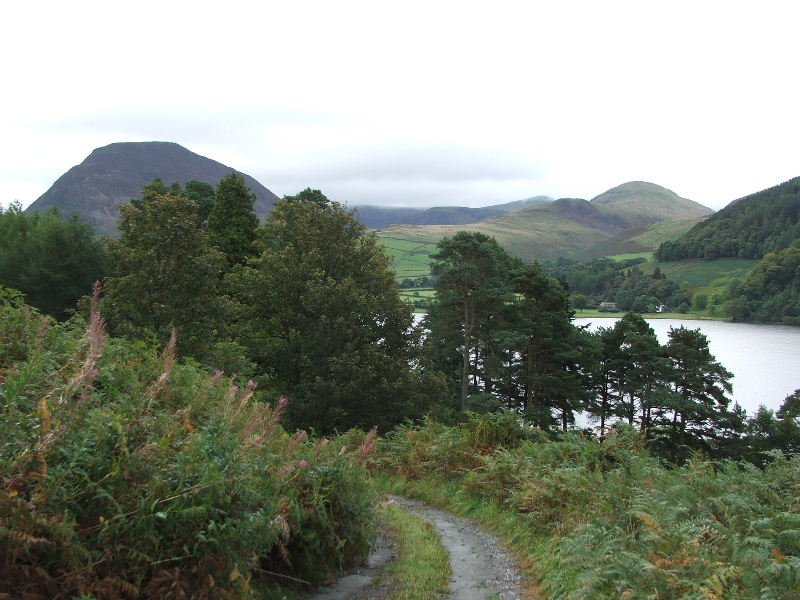
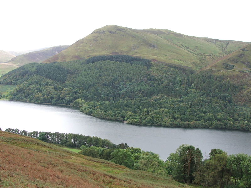
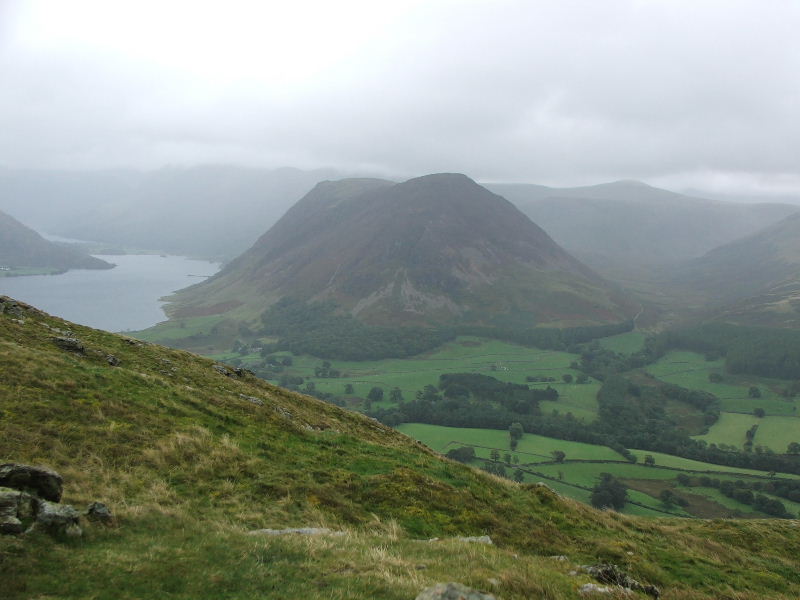
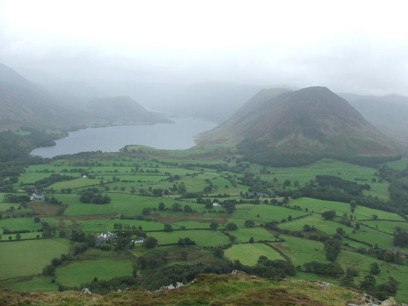
From Darling Fell looking up Crummock Water and Buttermere.
Mellbreak from Darling Fell and a glimpse of all 3 waters.
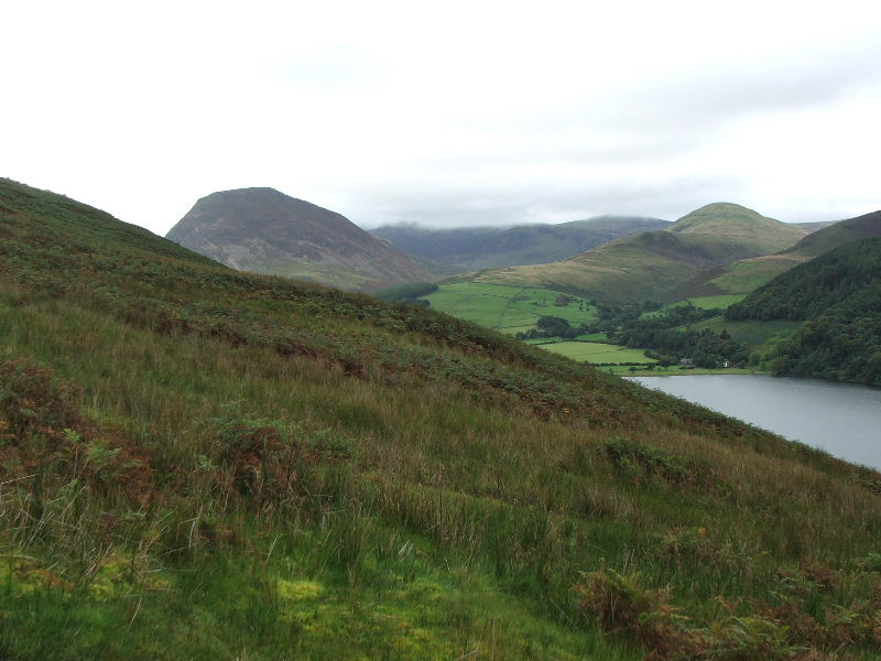
From Darling Fell with Mellbreak on the left, Hen Comb centre and Gavel Fell right, with the Great Borne, Starling Dodd, Red Pike ridge behind.
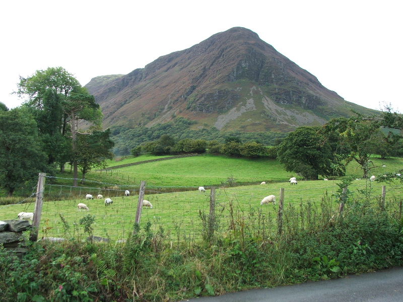
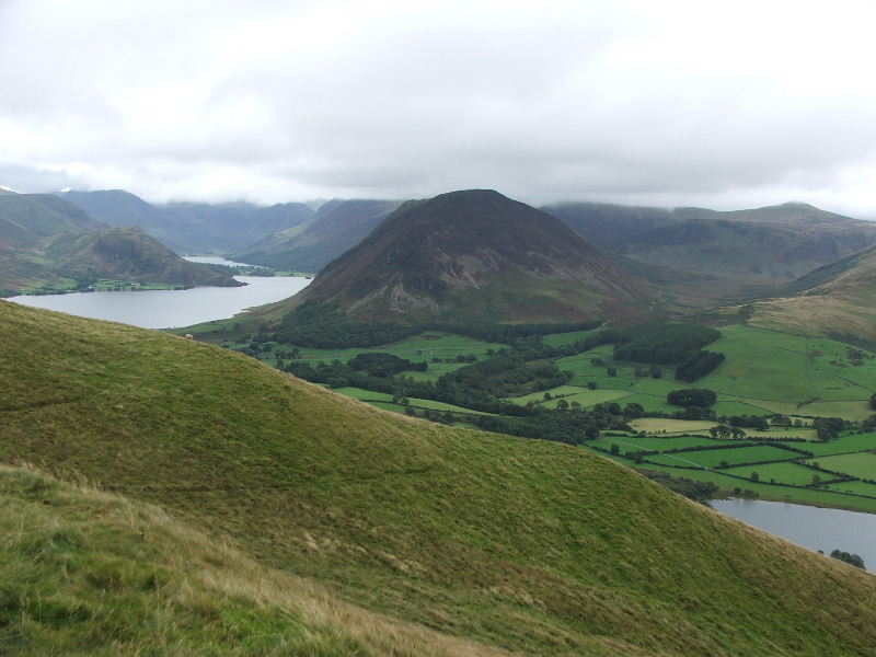
Looking across to Low Fell from Darling Fell with Whiteside and Grasmoor behind.
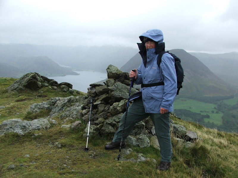
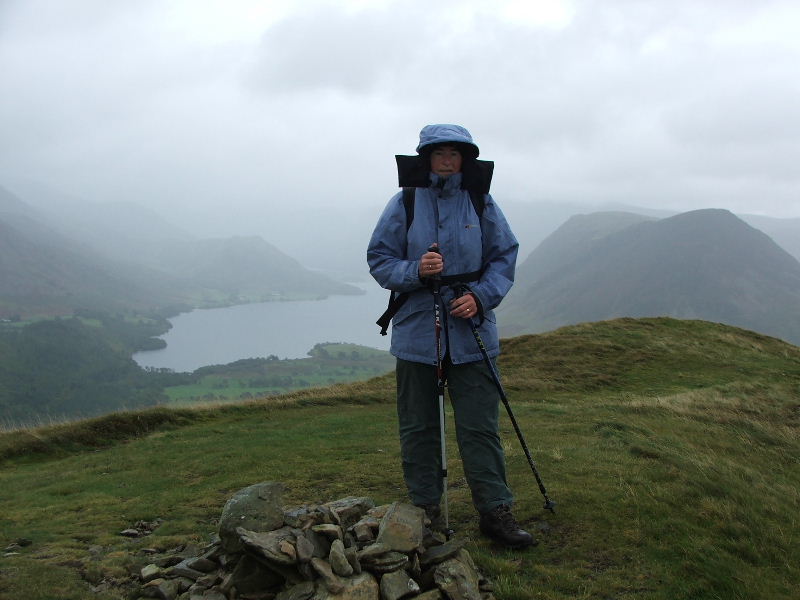
Edith on the south summit of Low Fell. By the time we had crossed over from Darling Fell the weather had closed in a wee bit.
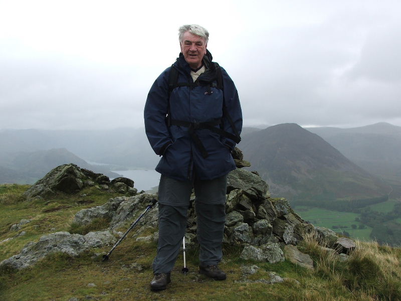
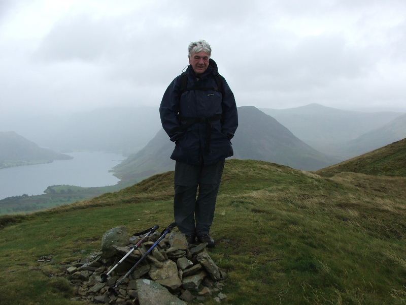
Dave on Low Fell south summit
Whiteside and Grasmoor from the south summit
Looking up the valley we could see showers passing across. Fortunately they missed us but made photography a bit hit and miss.
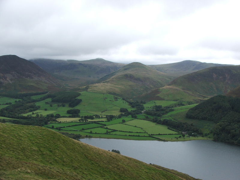
Mellbreak from the south summit
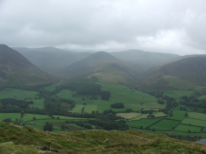
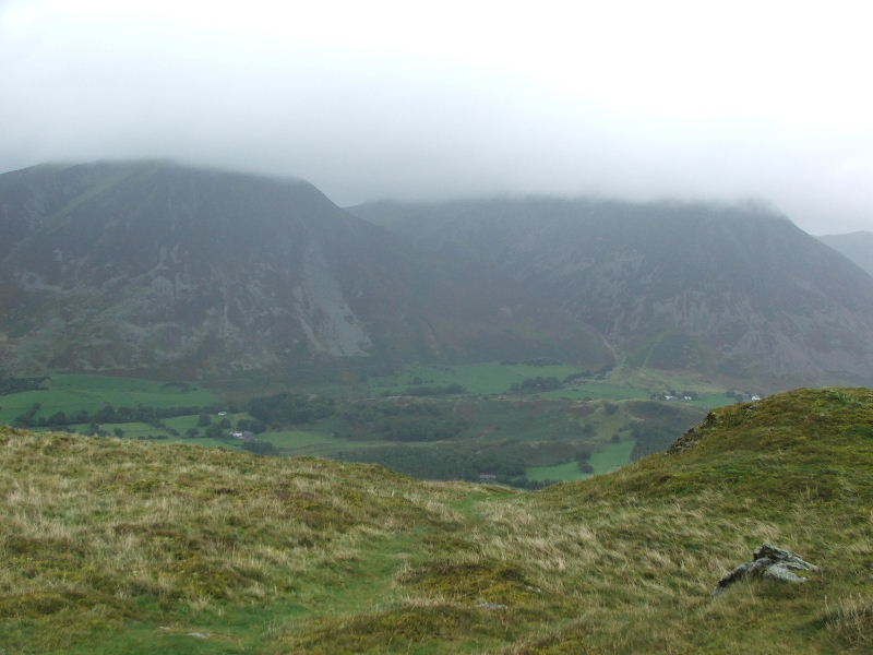
Hen Comb (centre) with the Mosedale valley left.
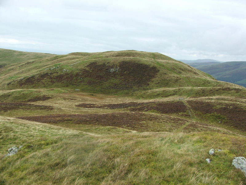
The path to the north summit which is the highest point.
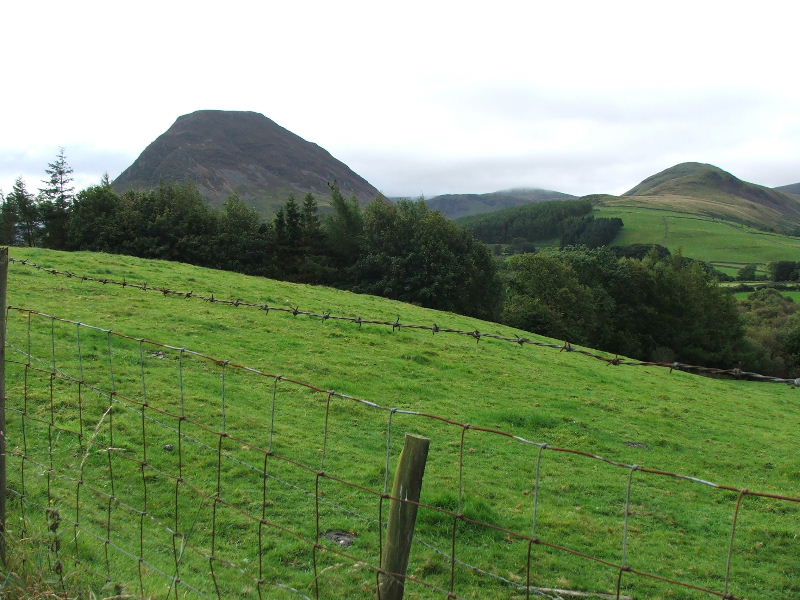
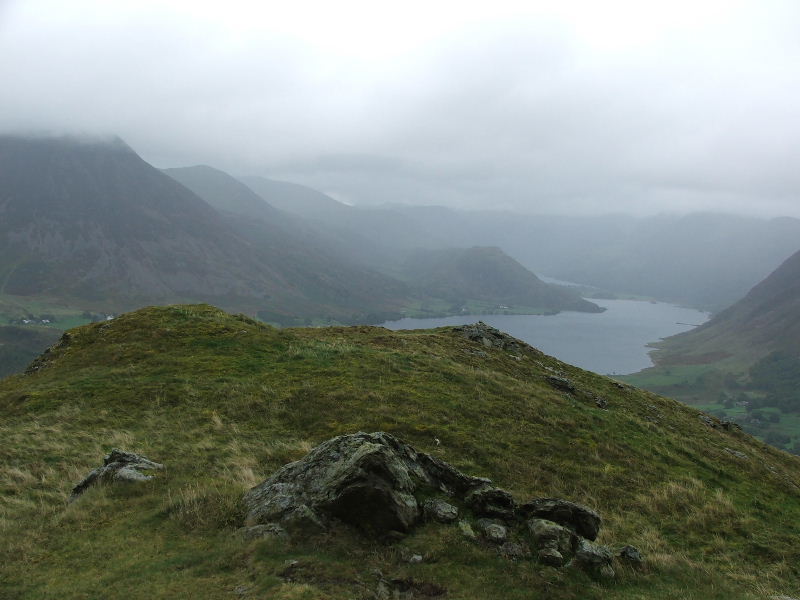
and to the left and in the distance our next summit......Fellbarrow
Before we left the south summit I dropped down a bit to get the view into the valley
Edith on the north summit of Low Fell
Dave on the north summit
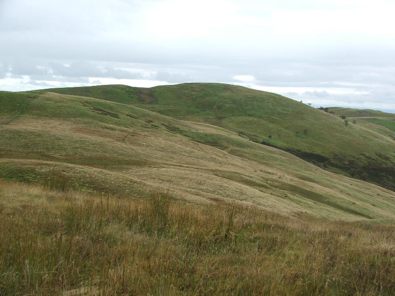
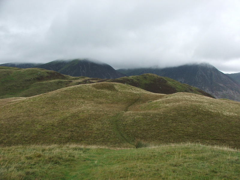
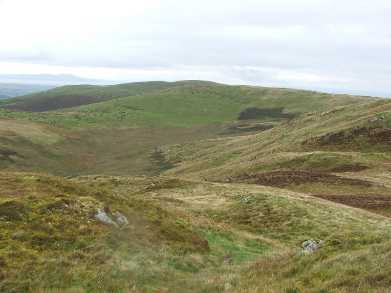
Taken from near the gate by Watching Crag this shows the route we will follow to Fellbarrow.
As I am only halfway through the walk and pictures I will break here and part two will show the remainder.
For the second part of this walk click here
Last Walk: 16th September 2007 -- Whinlatter from the Whinlatter Visitor Centre