
| Area: | Local | Ascent: | 650 feet |
| Walk No: | 78 | Time: | 4 hours |
| Date: | 27th September 2007 | Parking: | Crook O'Lune Picnic site car park |
| Distance: | 7.75 miles | Weather: | Overcast with occassional sunny spells |
| Route: | Car Park - Hawkshead Farm - Lower Highfield farm - Middle Highfield farm - Far Highfield farm - Aughton - River path - Burton Wood - Car Park |
This walk was sent to me in a leaflet from Lancaster City Council so eager to see where my Council Tax was being spent I decided to have a look at it. We have walked the paths of the Lune Valley many times in the past but have never done the outward leg of this walk from the Crook O'Lune to Aughton.
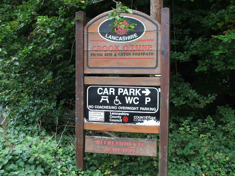
The Crook O'Lune picnic site. A wonderful place for a picnic with the benefit of "Woodies" butty bar.
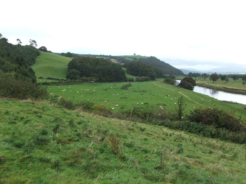
Looking up the valley from the picnic site. The hill in the far distance is Ingleborough. Our route would take us to the left and along the ridge with the return along the river path.
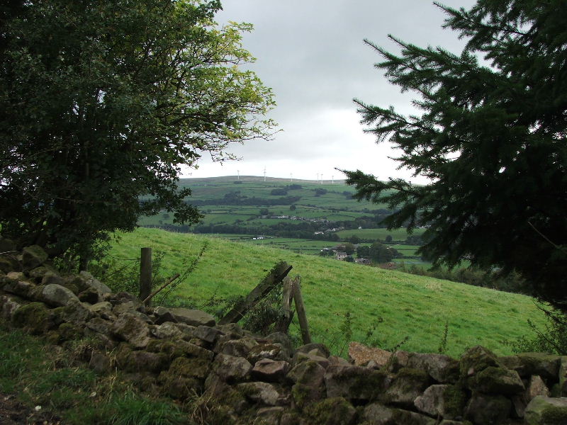
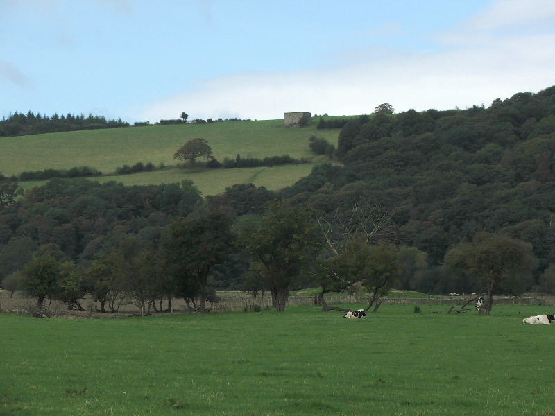
On the path to Halton Park and looking across the valley to Caton Moor with its wind farm.
and looking back to the Crook O'Lune
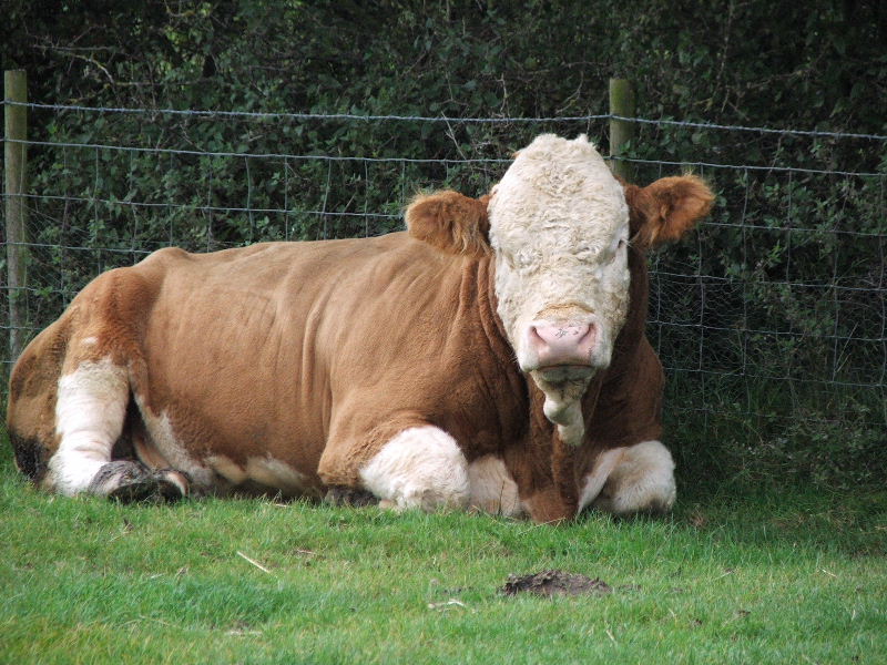
" Bull in field"......How many people have found alternative paths when faced with that notice. This fellow could hardly be bothered to lift his head.
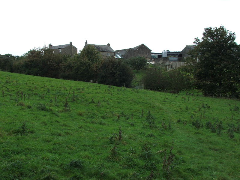
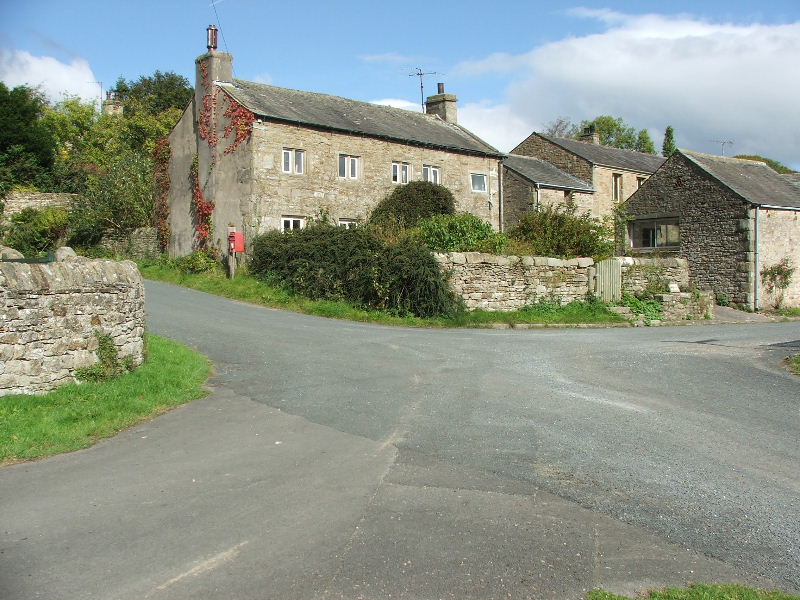
Lower Highfield farm......when we reached here we took a small diversion to look at a building I have seen from the valley and wondered what it was.
Lower Highfield Farm
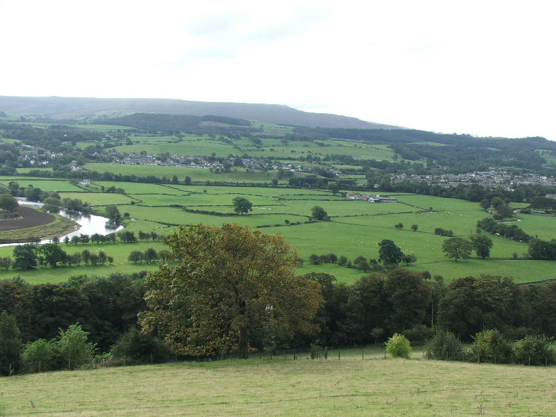
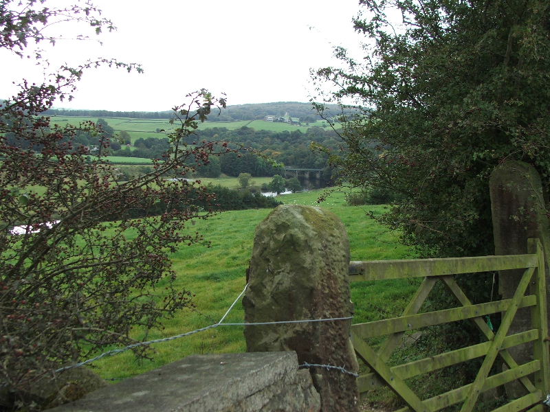
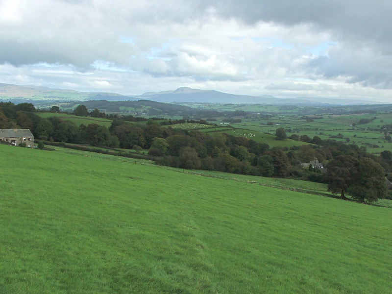
We made a short diversion to here where we had this view down to Caton and Brookhouse with Clougha Pike in the distance
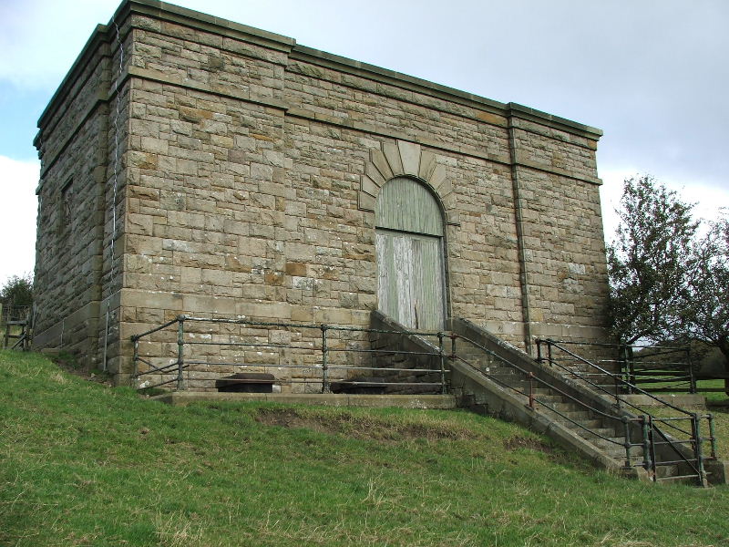
I've often seen this weel made building from the valley below and wondered what it is. Having seen it close up I still am not 100% sure. I know that it's to do with the water cycle but not sure which end.
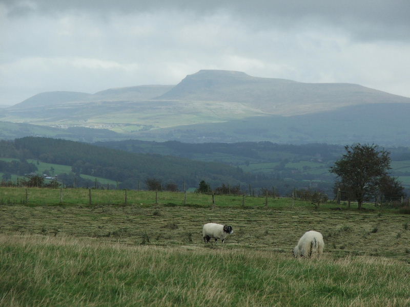
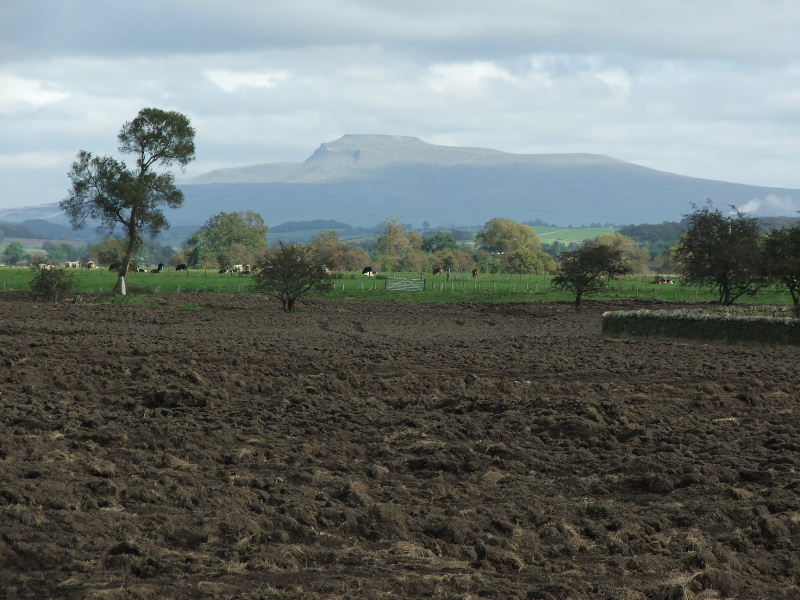
Having got back on route I got this close up of Ingleborough.
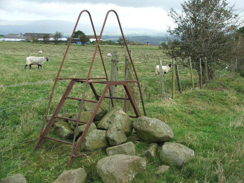
A redundant stile
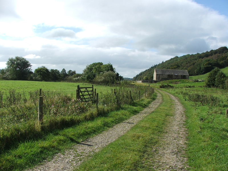
We are now descending to Aughton from where we will go down to the river.
Aughton
The path to the river.
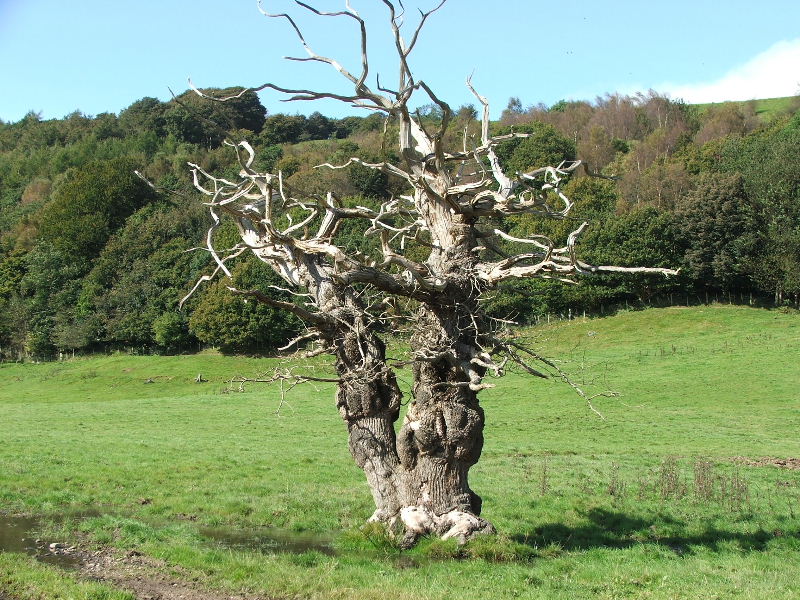
Nature is by far the best sculptor
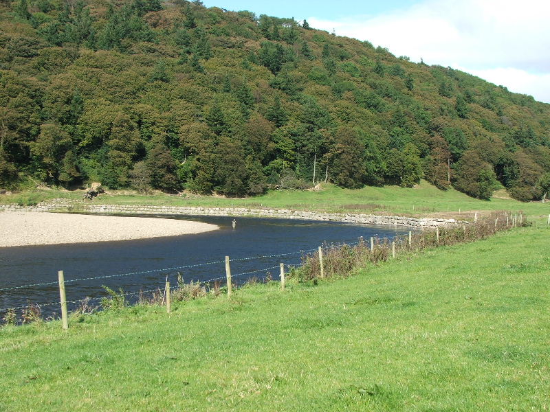
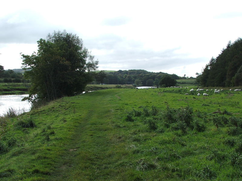
Down at the riverside and following it back to the Crook O'Lune
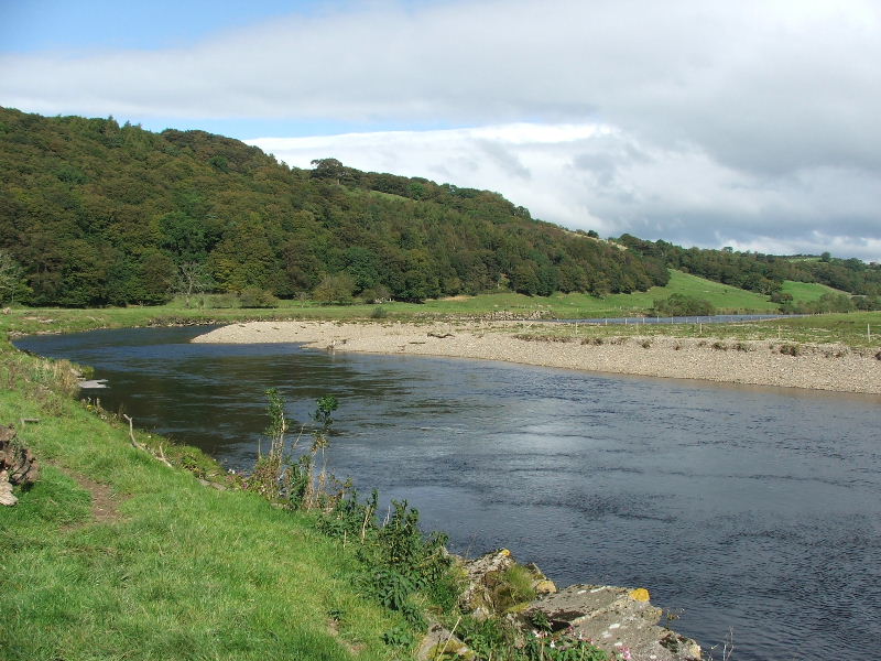
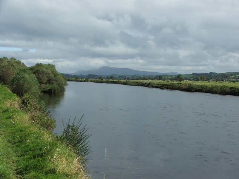
Looking back to where the river does a great meander.
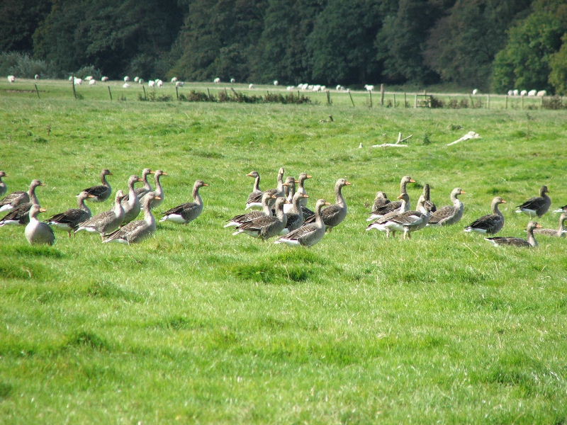
Just a few of the Greylag Geese that were in the bend of the river. I estimated there was about 150 altogether.
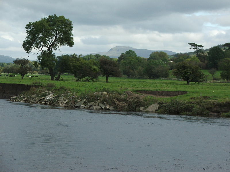
Looking across the river to Ingleborough
Looking up to the building that we diverted to see. Well, wouldn't you want to know what it was?
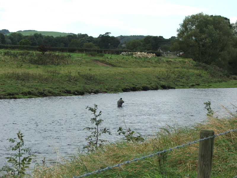
A fisherman fishing for Salmon or Trout.
There must be a good reason why this as been ploughed over but don't ask me why. It's not used for growing anything as it floods regularly.
We are reaching the end of the meander here and are path will enter Burton Wood soon.
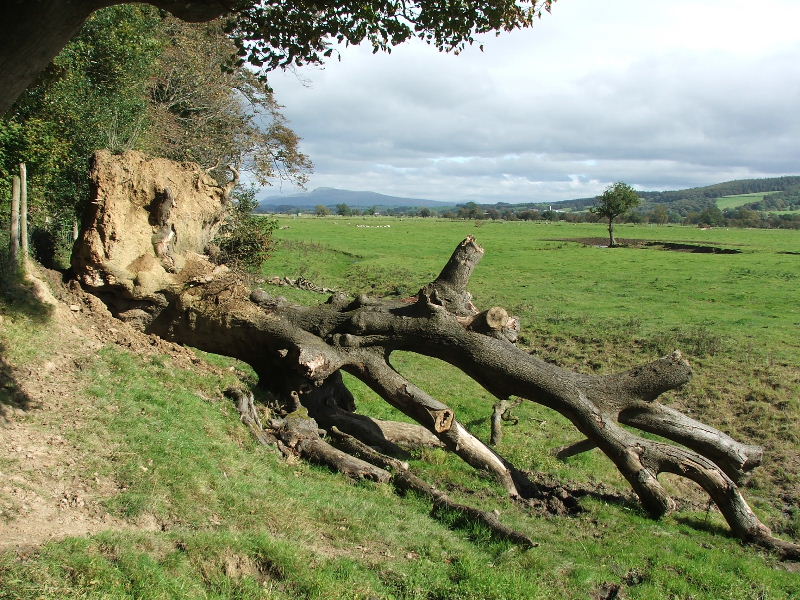
At first I thought this tree was one that had been uprooted locally but there was no sign of any ground disturbance anywhere nearby so I can only assume it had been deposited there by flood water. It is at least 12 feet above the normal level of the river.
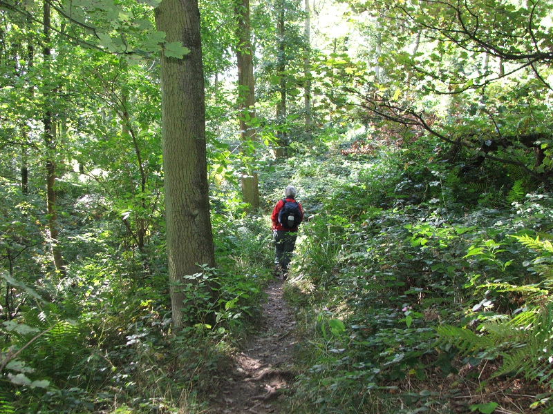
Walking through Burton Wood
Another fine structure across the river. It is part of the Thirlmer Aqueduct supplying Lake District water to Manchester , driven entirely by gravity.
Nearly back. We can just see the bridge in the trees from here
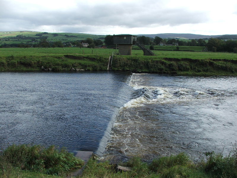
A weir across the river. I believe that the building on the other bank housed equipment for counting the salmon on there way upstream.
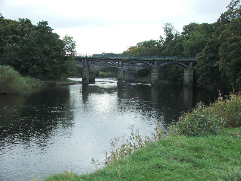
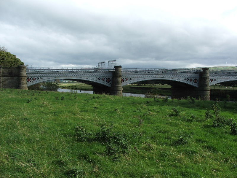
Nearly back and the two bridges that span the river. The nearest used to carry a railway line until Dr. Beeching decided otherwise. It is now a footpath/cycleway. The further is still in use being a road bridge.
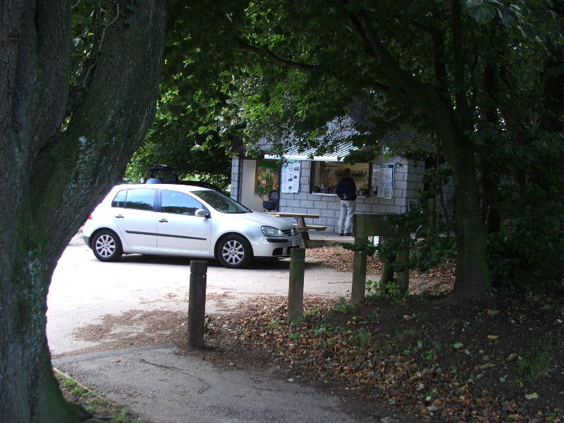
Finally back to the car park and one of "Woodies" bacon & egg buns and beggar the cholesterol!
Next Walk: 30th September 2007 -- A Silverdale walkabout from Crag Foot
Last Walk: 26th September 2007 -- A short walk around the Leighton Moss area