| Area: | Forest of Bowland | Ascent: | 1521 feet |
| Walk No: | 146 | Time: | 4 hours 45 minutes |
| Date: | 14th April 2008 | Parking: | Jubilee Tower (SD542573) |
| Distance: | 10.5 miles | Weather: | Fine with some sunny spells |
| Route: | Jubilee Tower - Grit Fell - Ward's Stone - Higher Lee - Jubilee Tower |
For those of you that are thinking of going onto the hills I would strongly recommend that you read the advice given by the Mountain Rescue organisation of England and Wales. To read this advice, which will open in a new page please click HERE. If you would like to make a donation to the Mountain Rescue organisation which is purely voluntary please click HERE. Please make the time to read the advice page.
Family committments meant we couldn't get away till 10:30am so we decided to do this walk which was only 25 minutes drive from home.
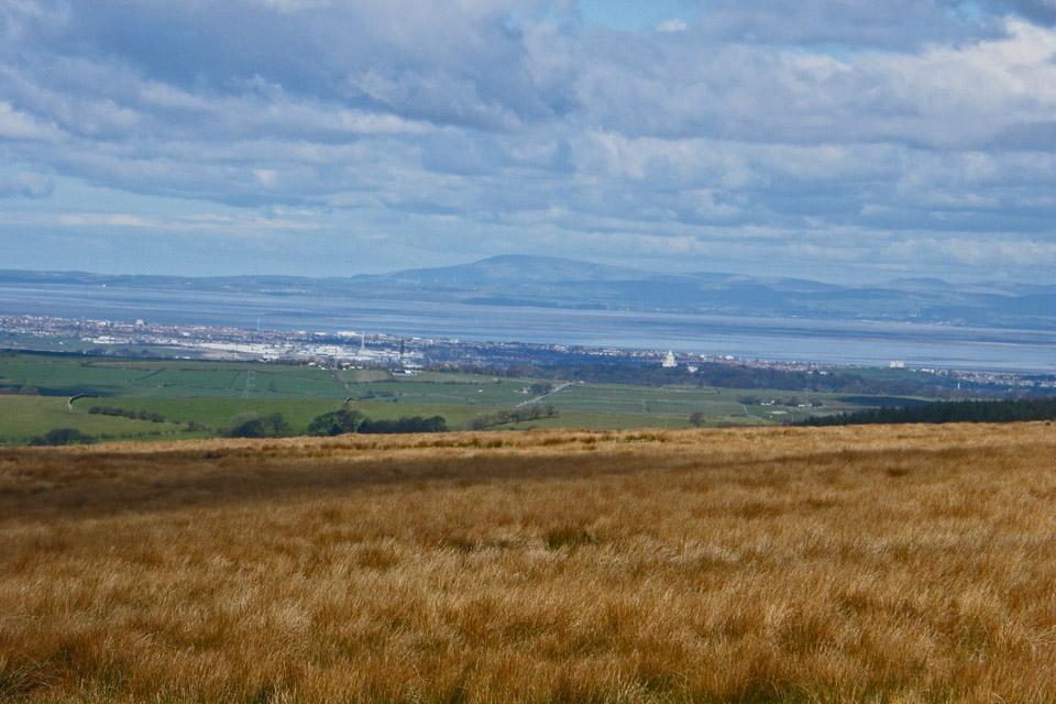
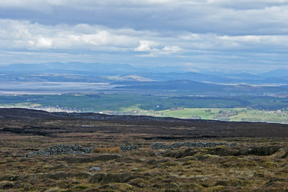
Looking over Lancaster and Morecambe Bay to Black Combe from the car park.
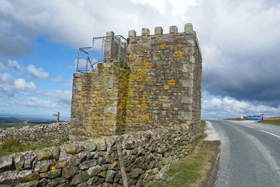
Jubilee Tower --- Built by Hare Appletree resident James Harrison, a rich Liverpool shipbuilder, in 1887 to mark Queen Victoria's Golden Jubilee
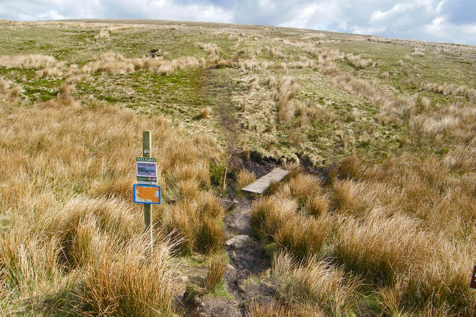
The start of the path to Grit Fell
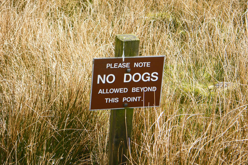
Not everybody is welcome on these fells.
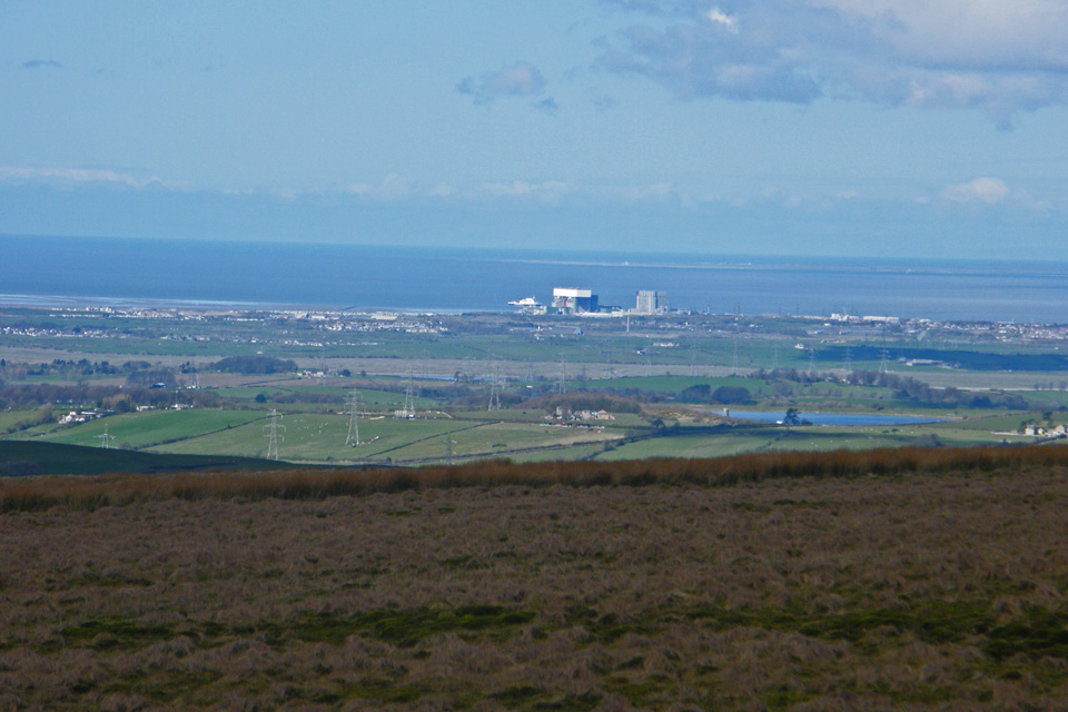
The Isle of Man ferry enters Heysham Harbour as we gain height
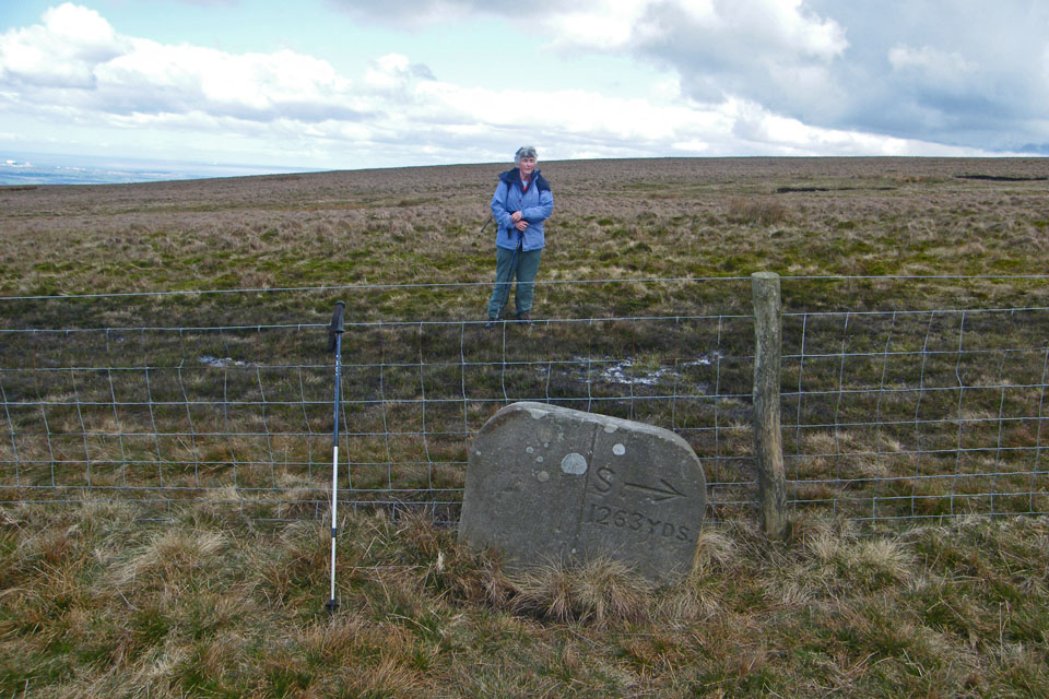
Not sure about this unless it's a pointer to Shooters Pile. Pity it's on the wrong side of the fence though.
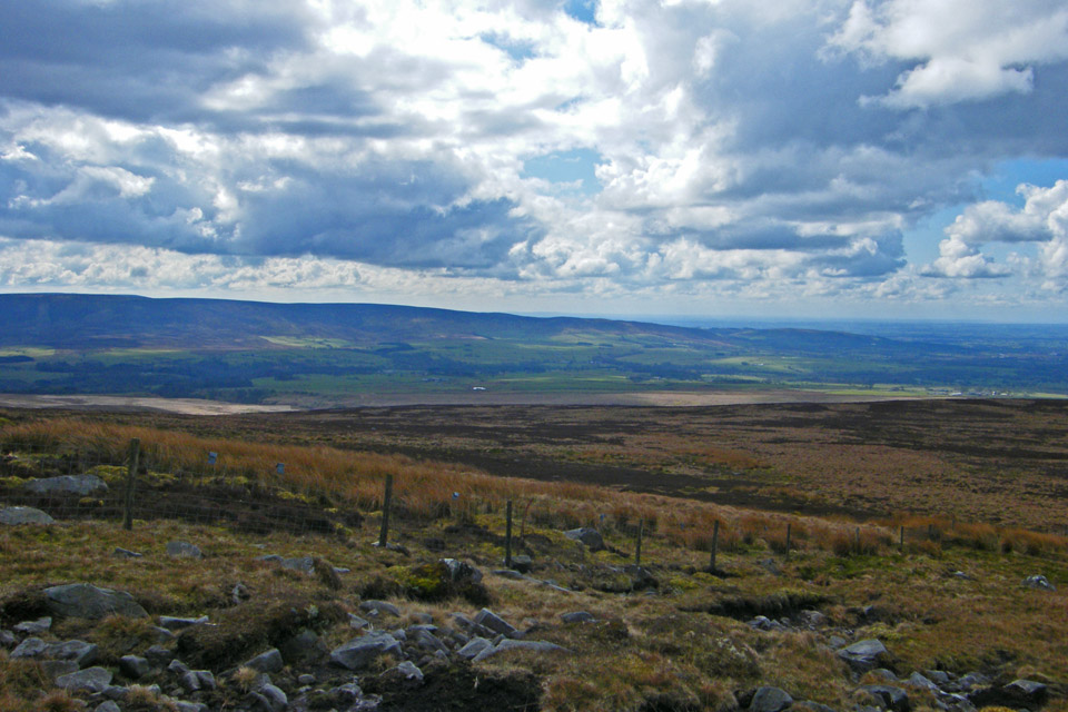
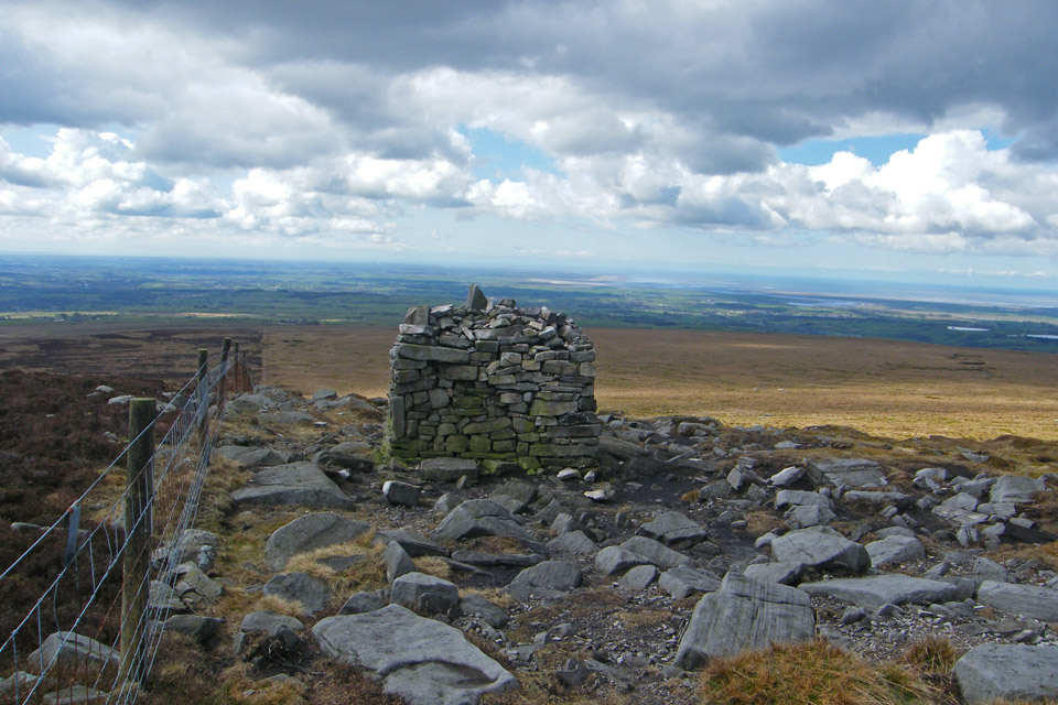
Shooters Pile.....the path up to here had been quite wet and now we were on gritstone for a while.
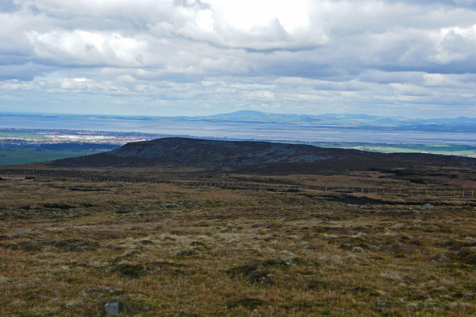
Looking over Clougha Pike to Black Combe
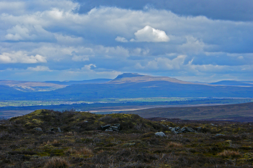
Ingleborough from Grit Fell
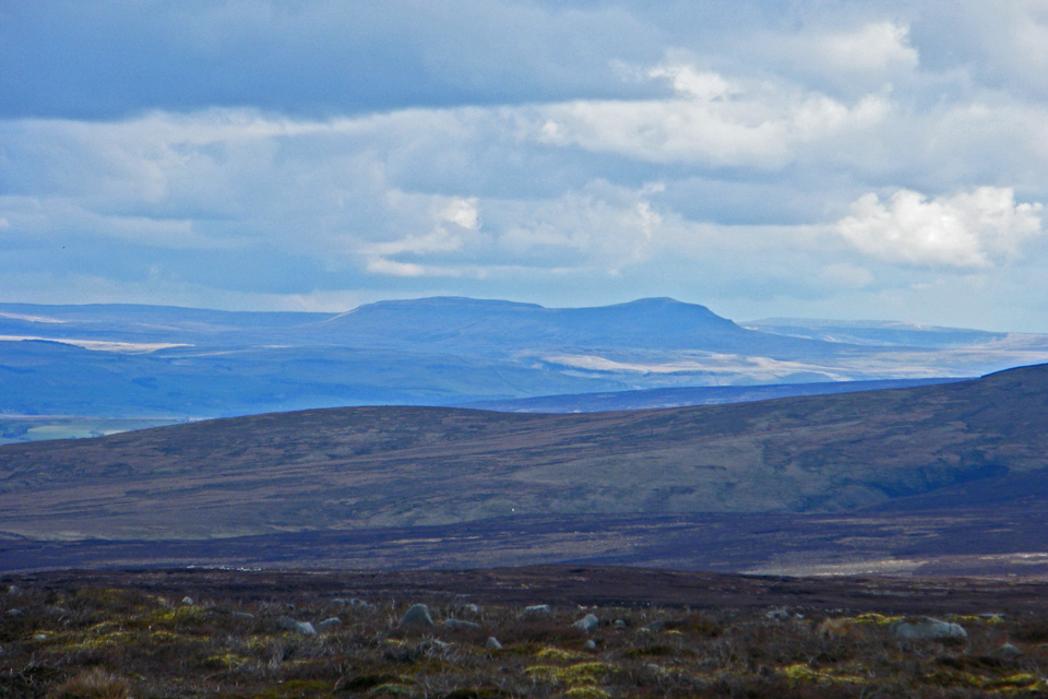
and Pen y ghent
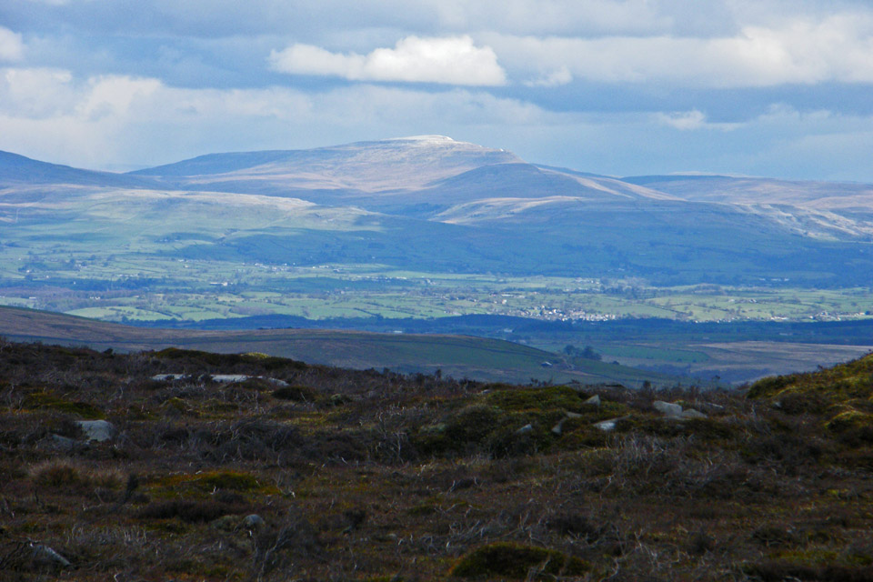
and finally Whernside
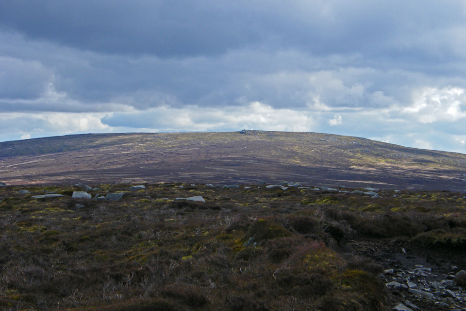
The way ahead to Ward's Stone. It is about 20 years since we were last up here. I soon realised why I had left it so long. The path was a mixture of hags and "juicy" places......It was seldom possible to take more than three paces in a straight line.
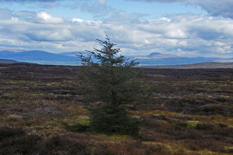
A solitary tree on our route
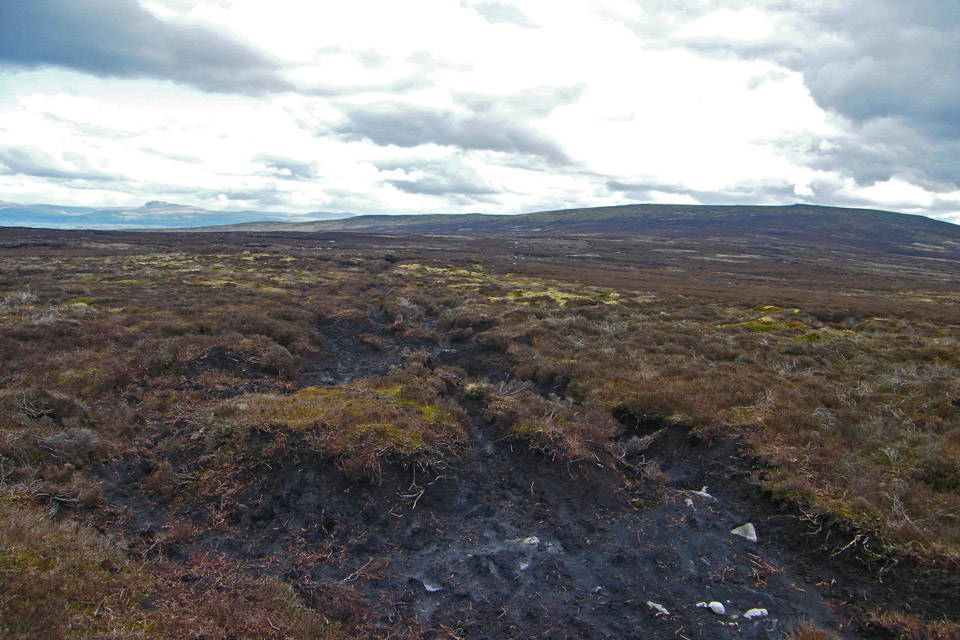
Ahhh.....The pleasures of moorland walking
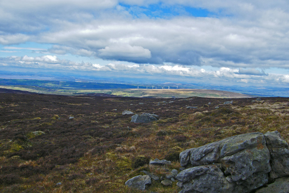
Wind Turbines on Caton Moor
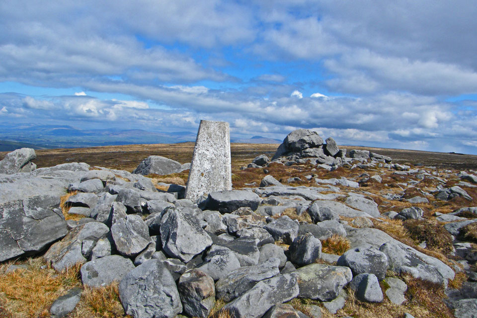
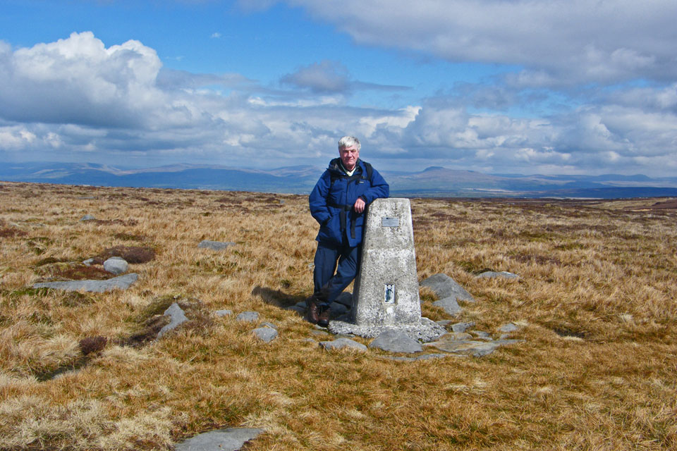
The Trig point on Ward's Stone.....but wait....
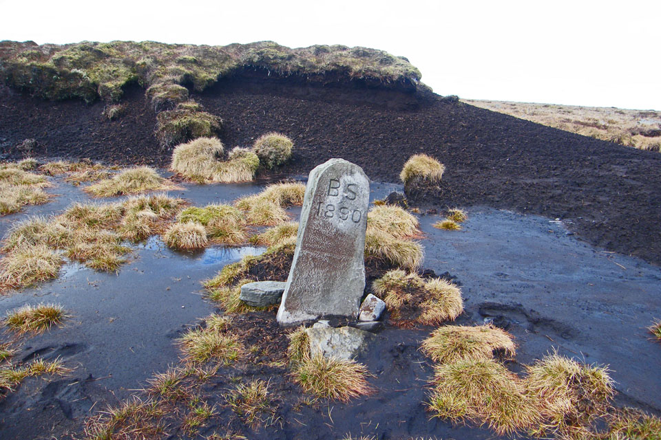
......walking in an ENE direction a boundary stone......there's more
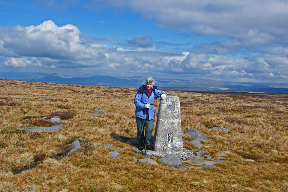
......a mere 700 yards from the first one there's another Trig Point which at 1841 feet is the summit and also the highest point in the Forest of Bowland.
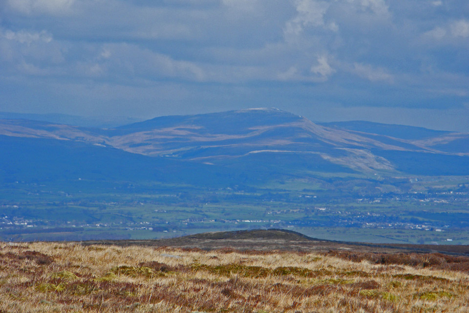
Whernside
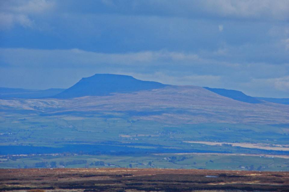
Ingleborough
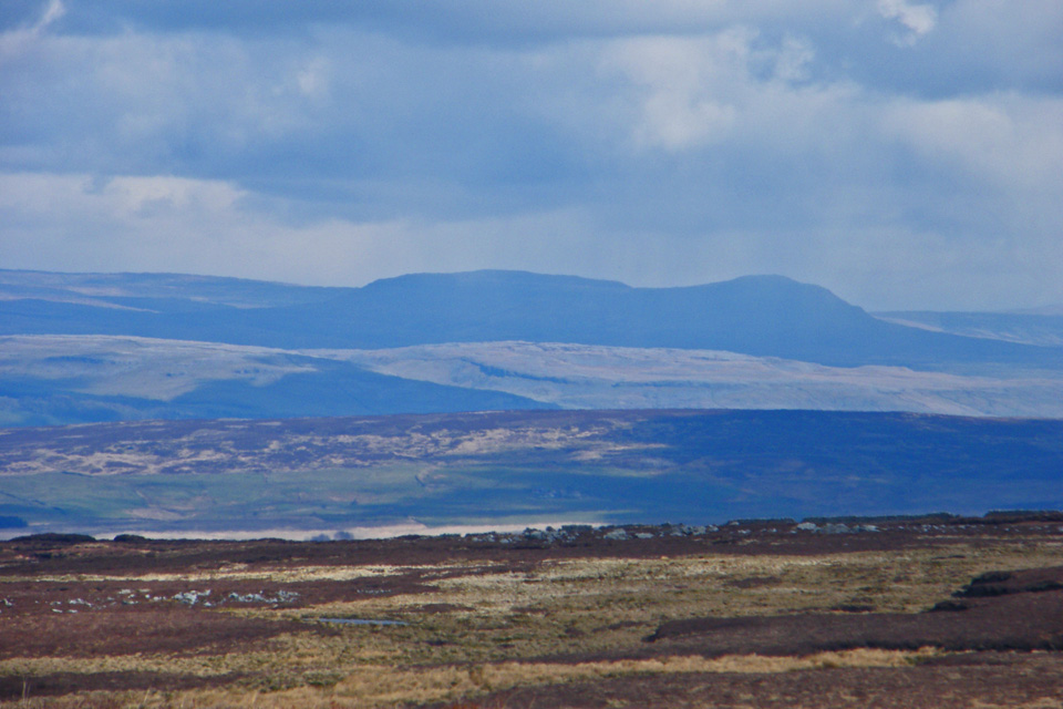
Pen Y Ghent
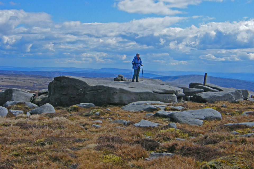
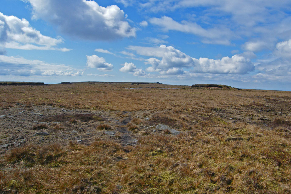
Making our way back to the first Trig point
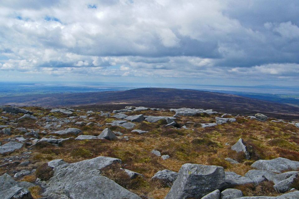
Initially we returned along our outward path
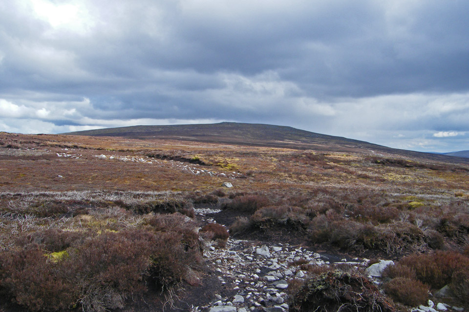
It was at this point in the dip between Ward's Stone and Grit Fell that we decided we had had enough of the "juicy" ground and decided to utilise a "shooters track". This would add distance onto the walk but make for easier walking
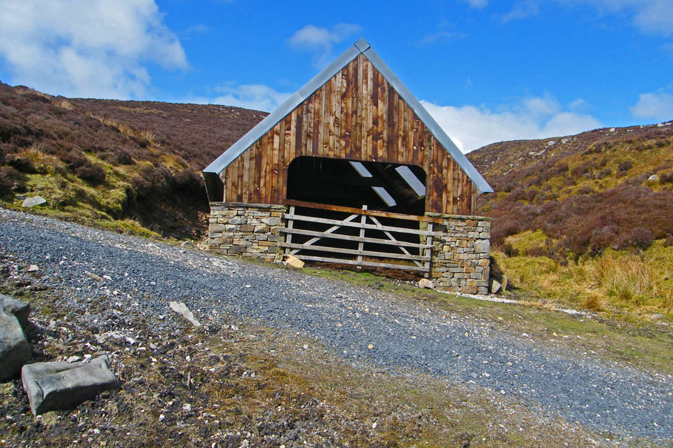
The track took us past this "Luncheon Hut" at Grizedale Head
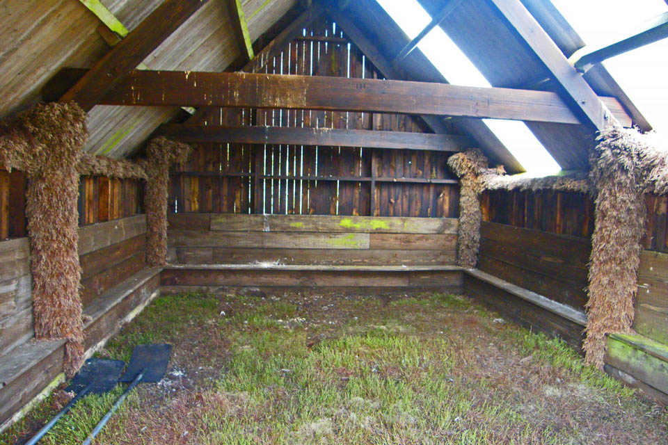
The interior
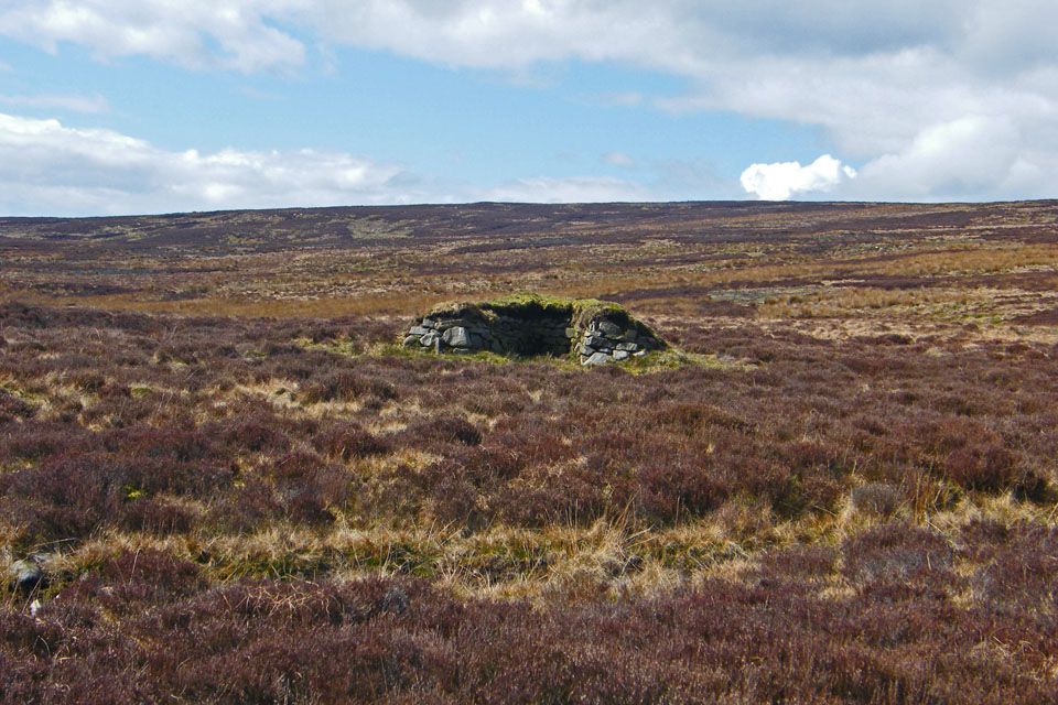
There were plenty of Grouse Butts to be seen
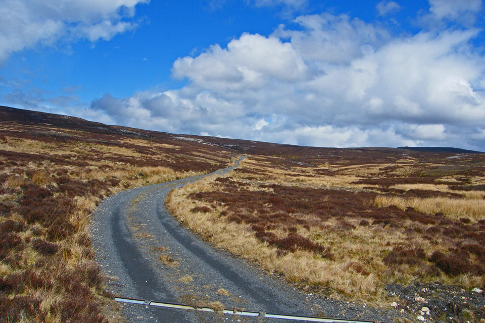
Looking back along the Shooters track
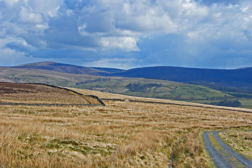
The track would take us down to Higher Lee
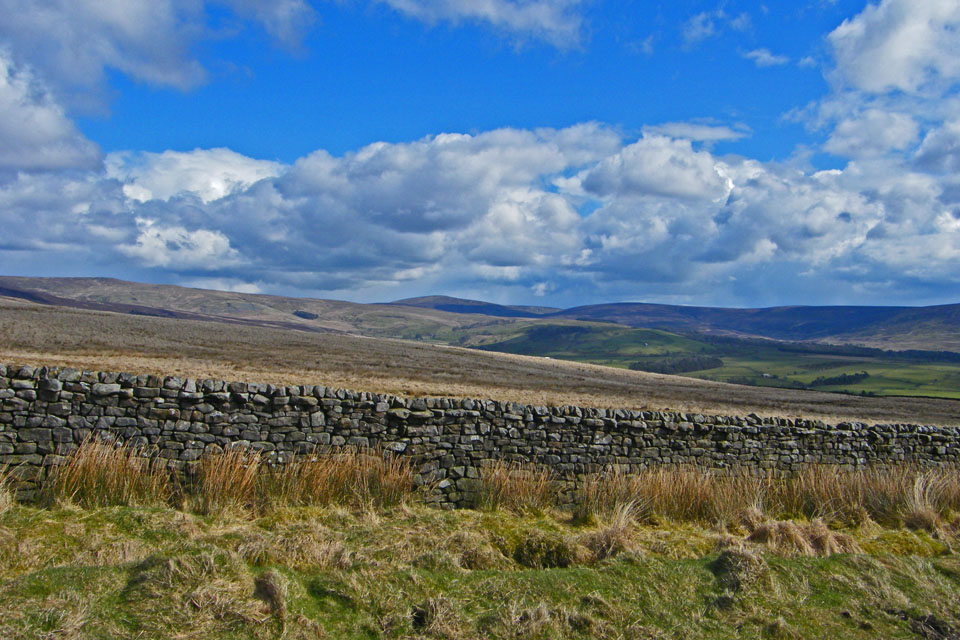
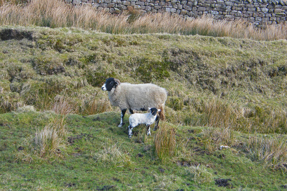
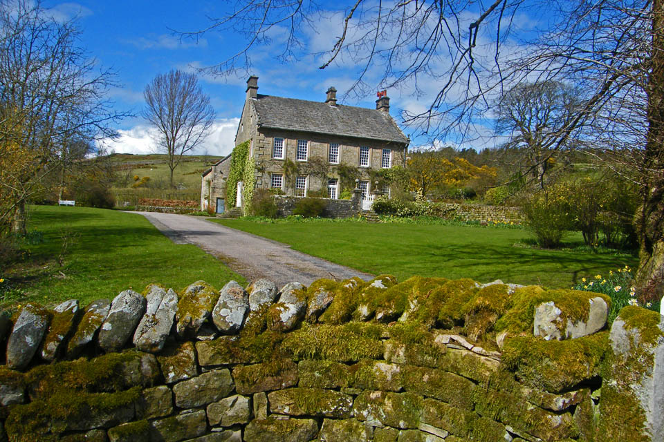
Higher Lee
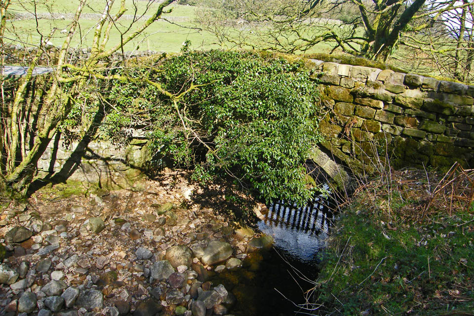
A small bridge over the River Grizedale
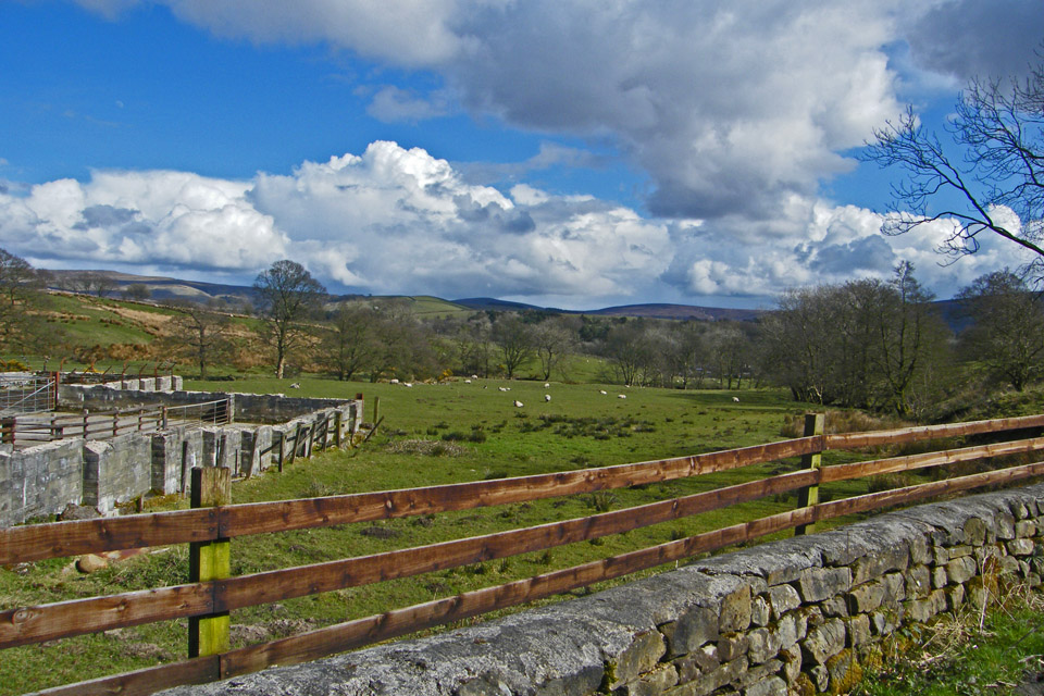
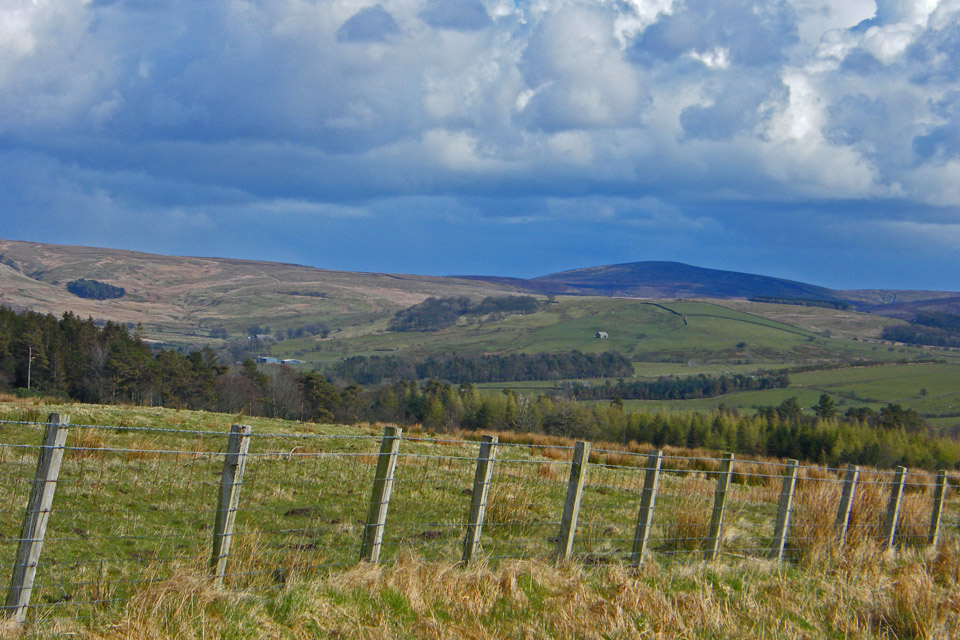
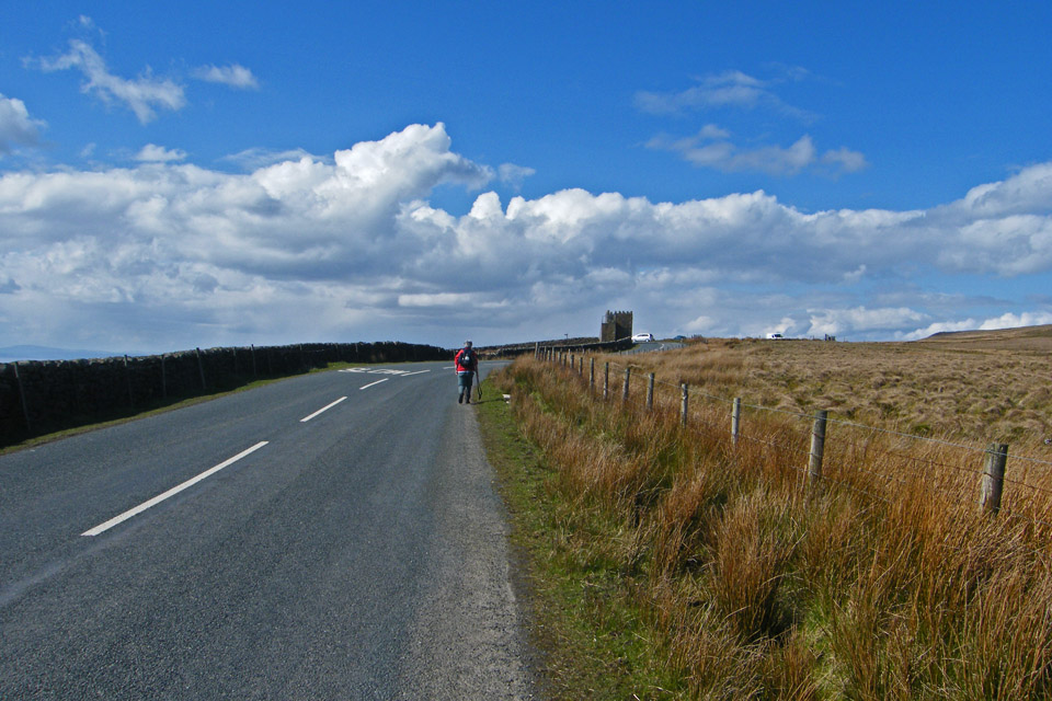
And finally........back to the car
Next Walk: 17th April 2008 -- A Langdale walkabout from Elterwater
Last Walk: 13th April 2008 -- Sour Howes & Sallows from Dubbs Road
We hope you have enjoyed viewing this walk. If you have any comments please sign our Guestbook or E_Mail us