
| Area: | Lake District | Ascent: | 1525 feet |
| Walk No: | 145 | Time: | 3 hours 45 minutes |
| Date: | 13th April 2008 | Parking: | Ings - Troutbeck Rod (NY423006) |
| Distance: | 7.25 miles | Weather: | Fine & mostly sunny |
| Route: |
Car - Dubbs Road - Applethwaite Common - Sour Howes - Sallows - Garburn Pass - Applethwaite Quarry - Longmire Road - Car |
For those of you that are thinking of going onto the hills I would strongly recommend that you read the advice given by the Mountain Rescue organisation of England and Wales. To read this advice, which will open in a new page please click HERE. If you would like to make a donation to the Mountain Rescue organisation which is purely voluntary please click HERE. Please make the time to read the advice page.
An earlyish start saw us parked up and walking for 9am.
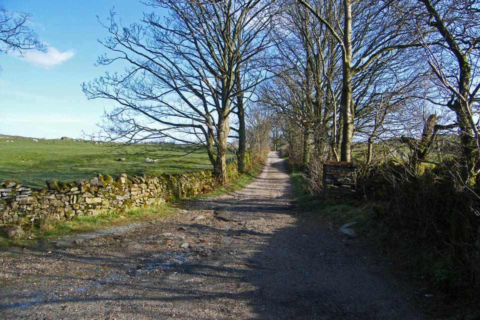
Looking up Dubbs Road from the car.
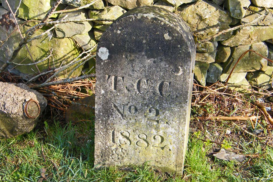
We've parked here quite a few times over the years and never noticed this sign.....no idea what it is though!. .....Answers in an e_mail and I'll update it.
Sheila from Gosforth says this could well be a marker under the Turnpike Acts where a turnpike crosses a Parish Boundary.
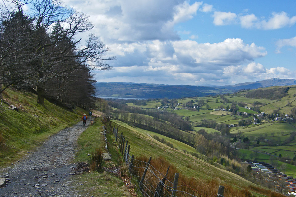
Walking along the track with Sour Howes in the distance.

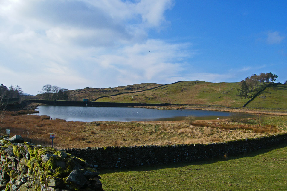
Dubbs Reservoir
Looking back to the reservoir
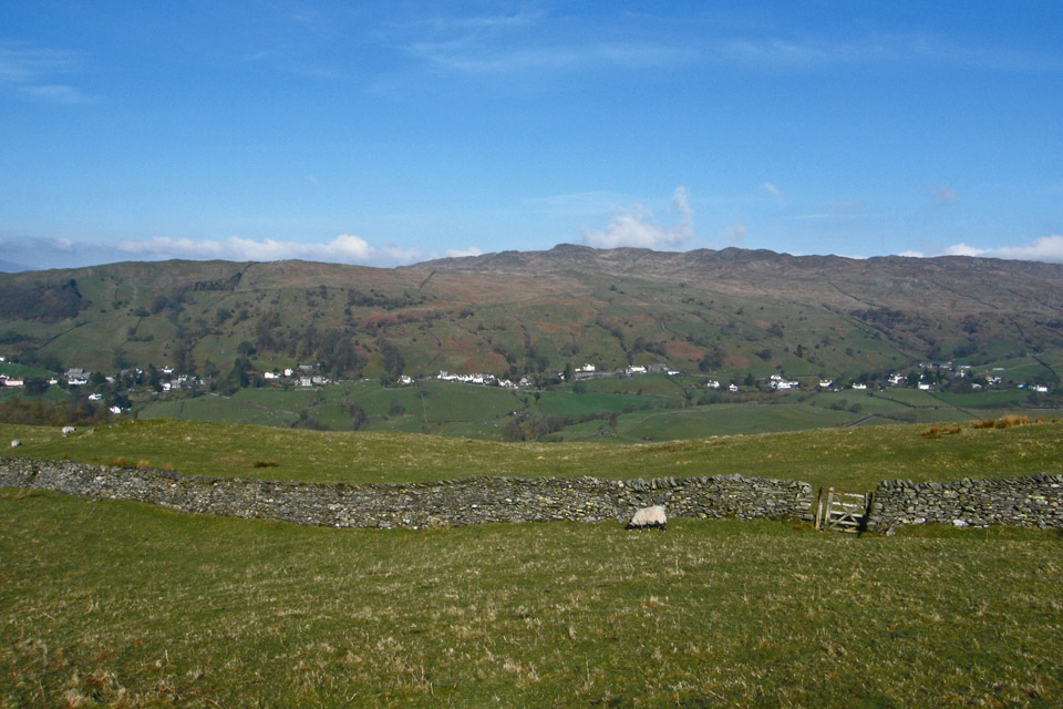
Looking across the valley to Wansfell Pike
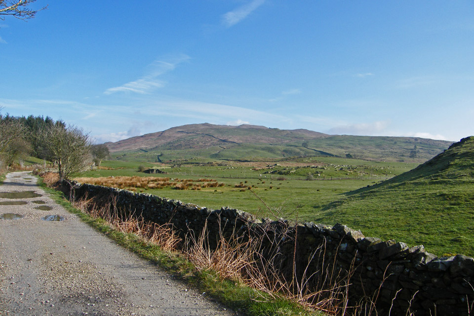
There was certainly more cloud to the north. It seemed to be banked up against Caudale Moor. Shortly past here we left the Dubbs track for the steepish climb up Applethwaite Common.
Opening up the views as we gain height
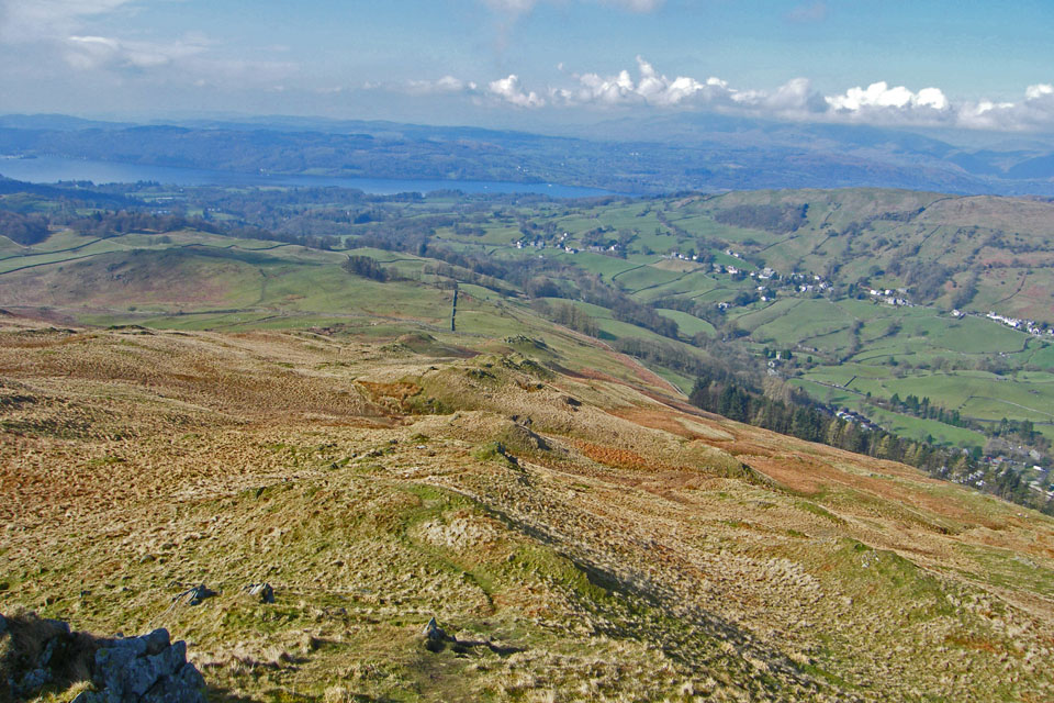
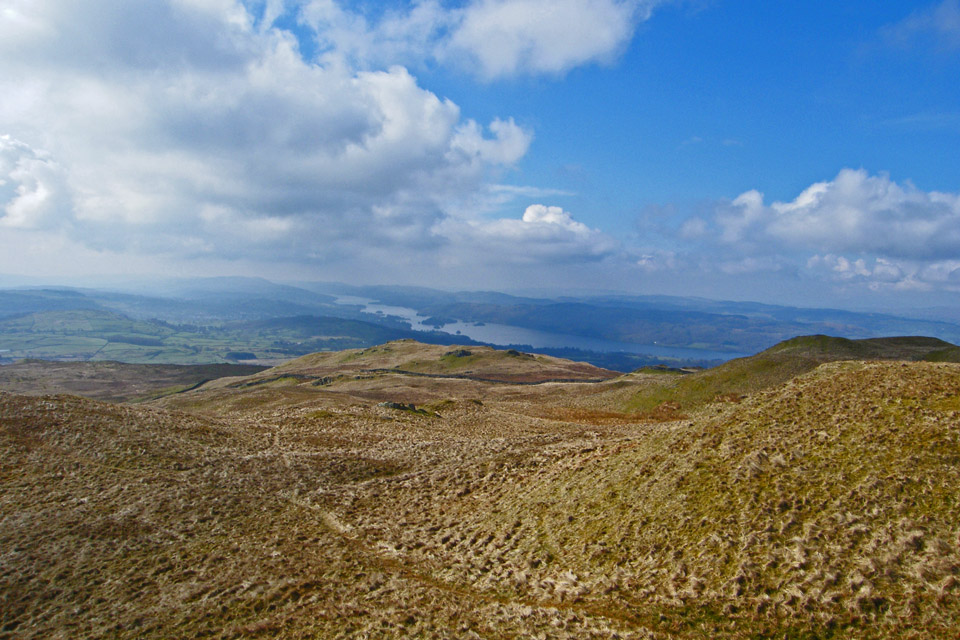
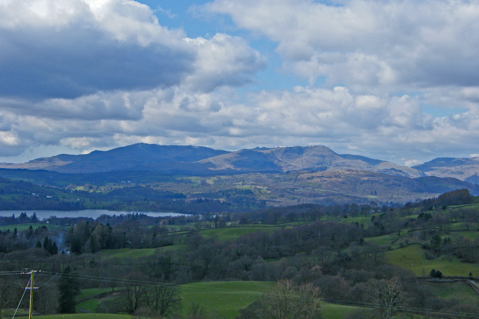
Looking back to Windermere. Dubbs Reservoir can just be seen on the left of picture.
Not a good picture but included because it shows our path up which more or less follows the line of knobbles.
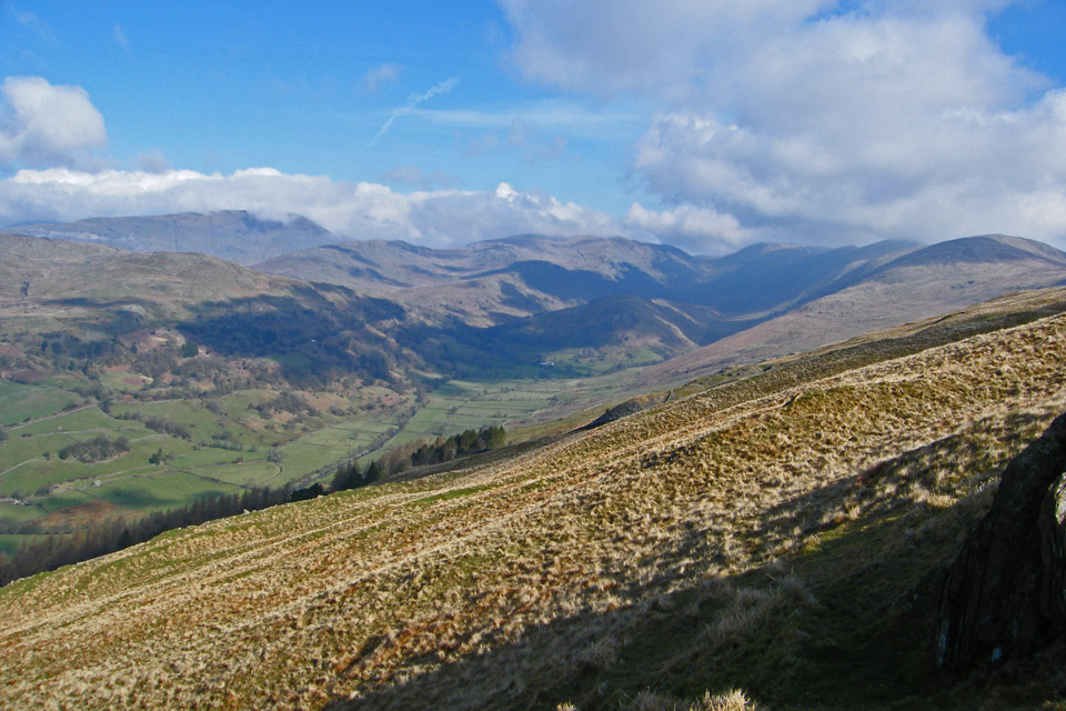
Nearly at Sour Howes and looking into the Troutbeck valley
Sallows from Sour Howes with Kentmere Pike behind and Yoke, Ill Bell & Froswick to the left
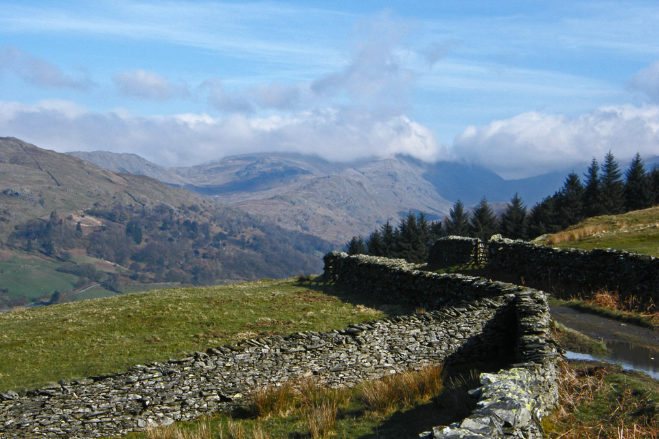
On our way to Sallows
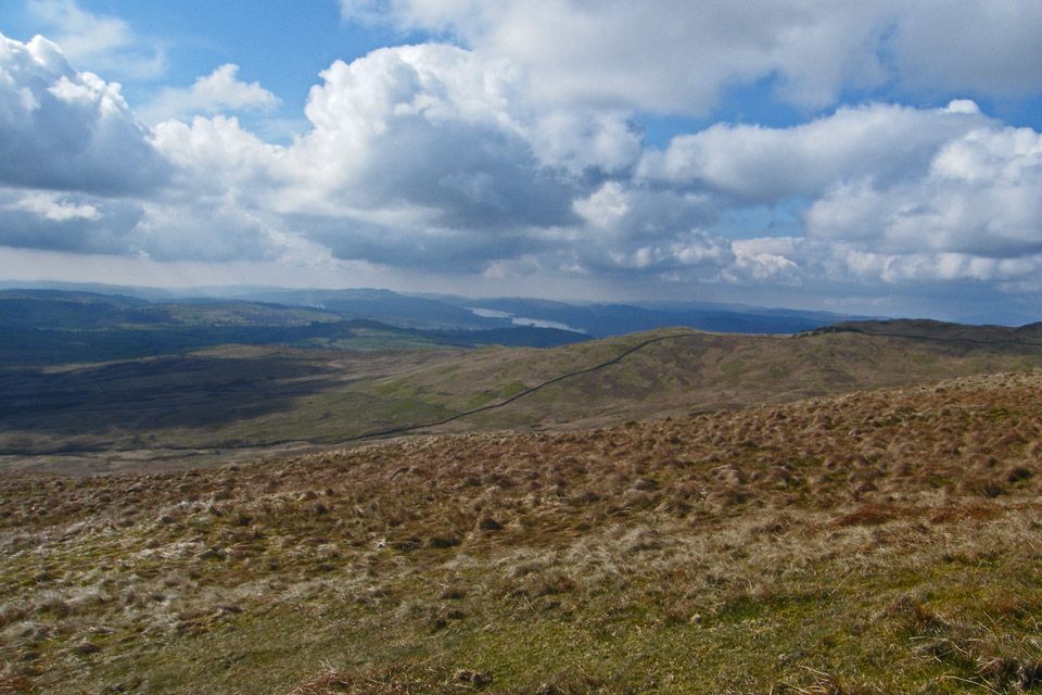
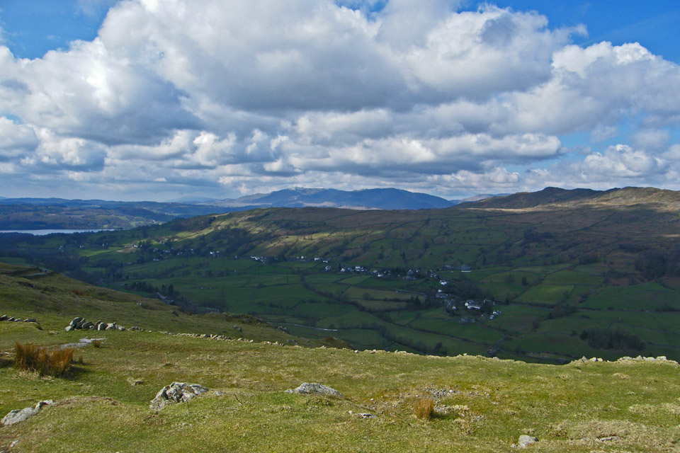
A look back to Windermere
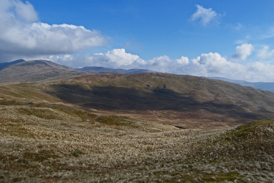
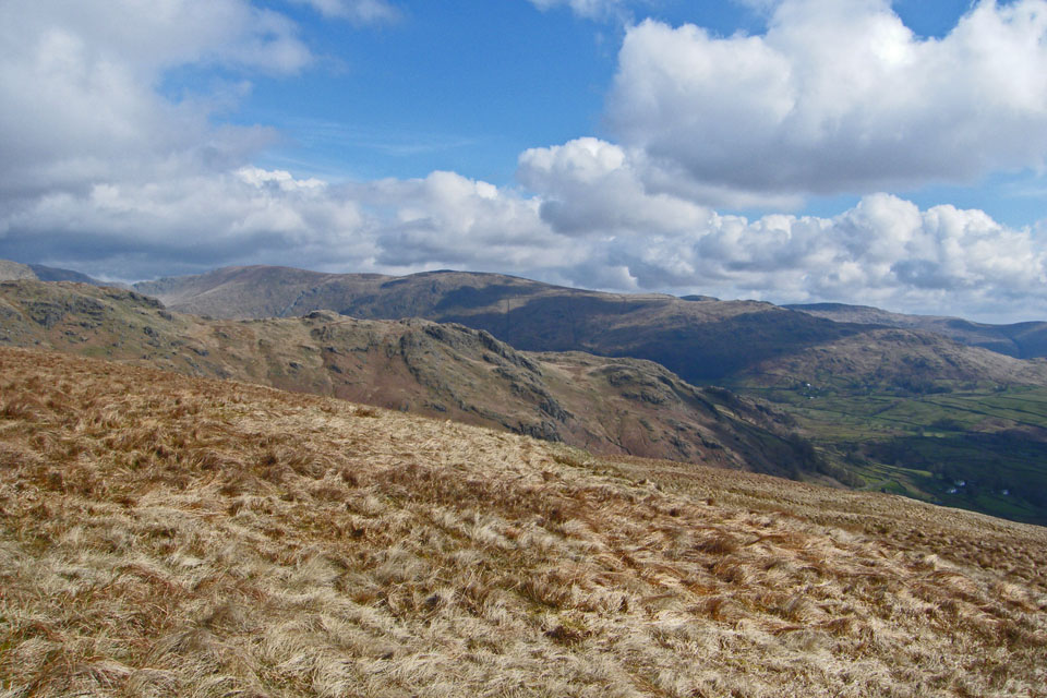
Yoke , Ill Bell, Froswick and Thornthwaite from our route to Sallows
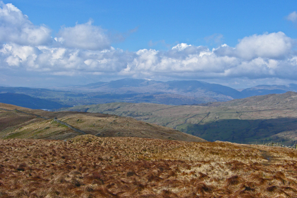
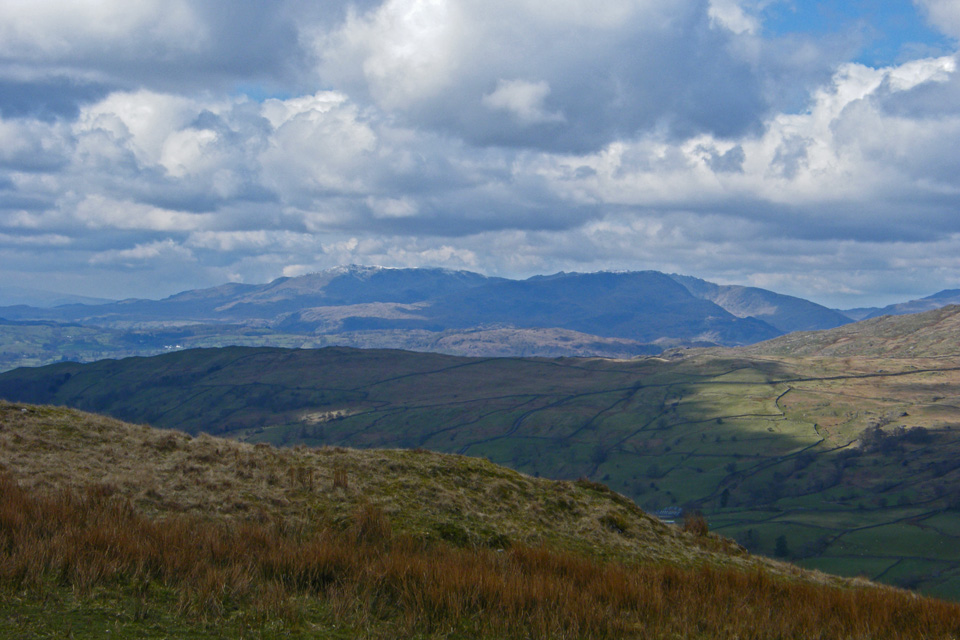
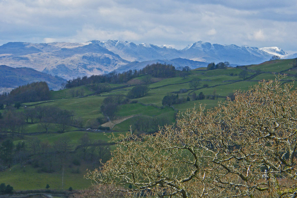
The Coniston Fells
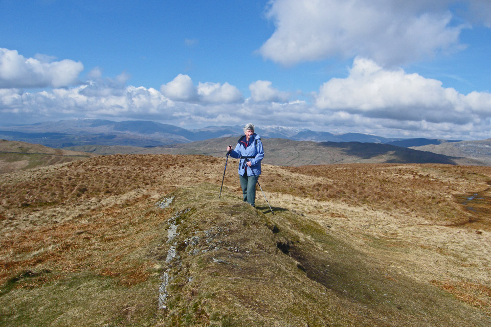
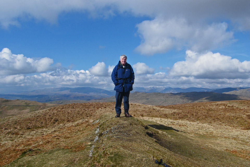
Sallows summit
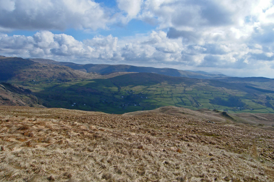
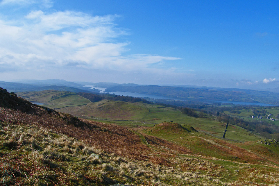
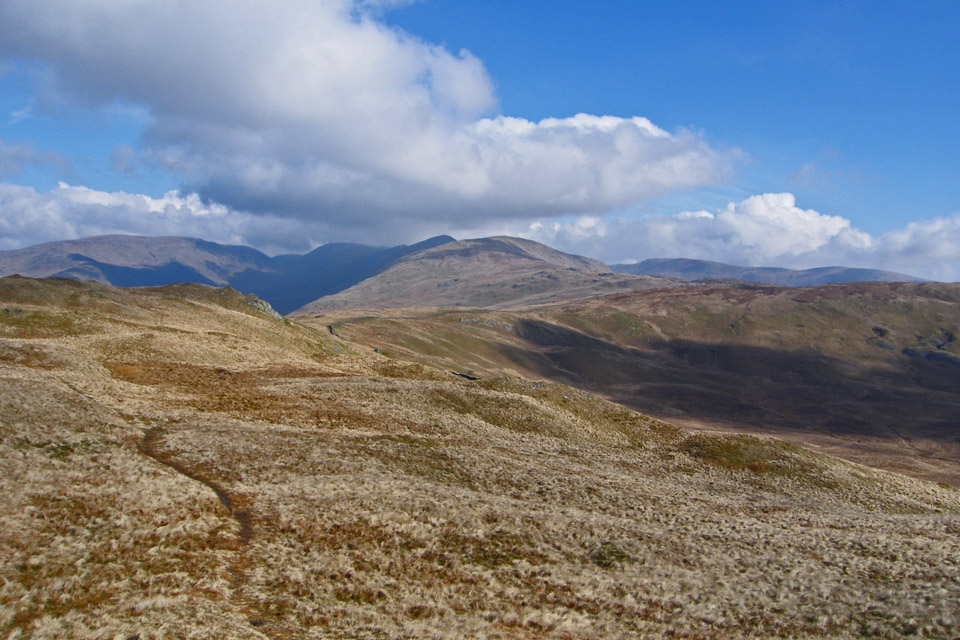
From the summit we followed the ridge eastwards to open up views down into Kentmere
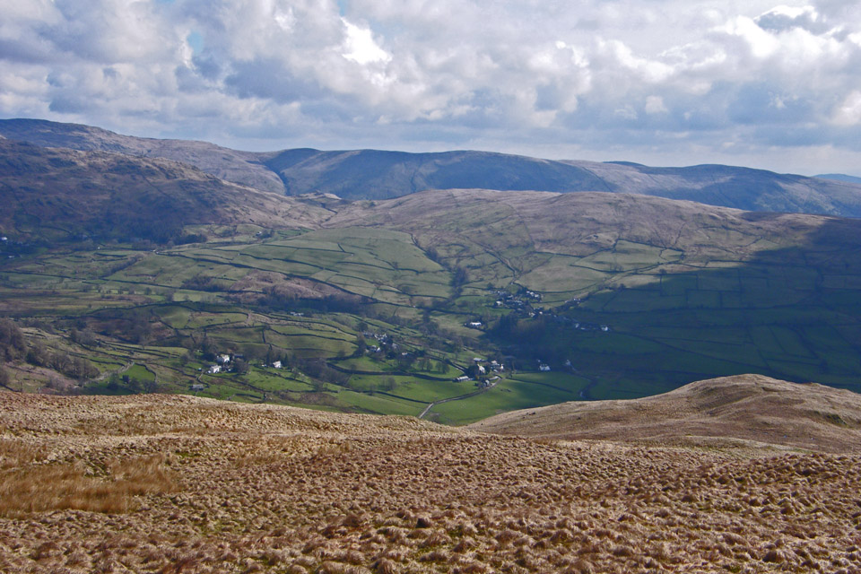
Looking down to Kentmere with Green Quarter Fell behind
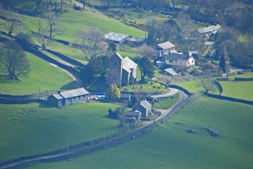
A close up of Kentmere Church.
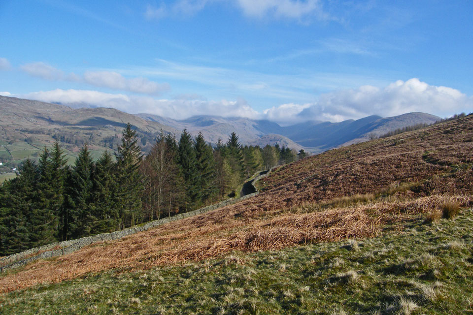
Descending to the Garburn Pass
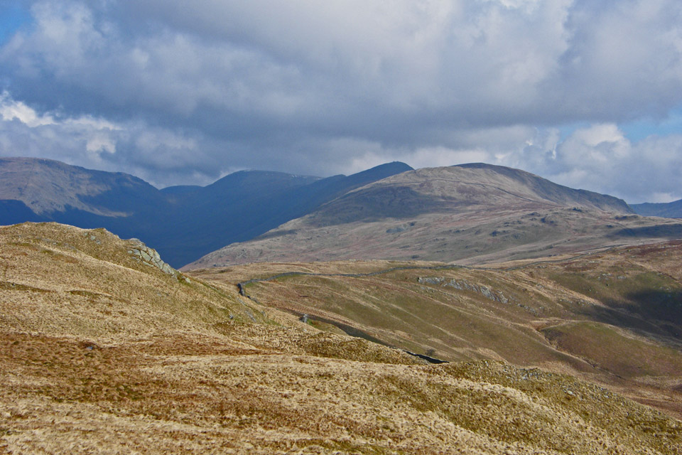
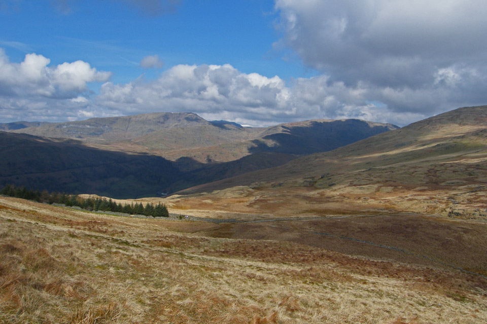
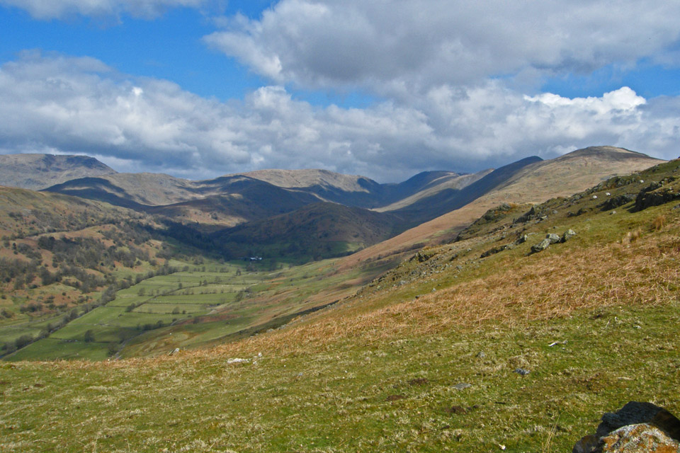
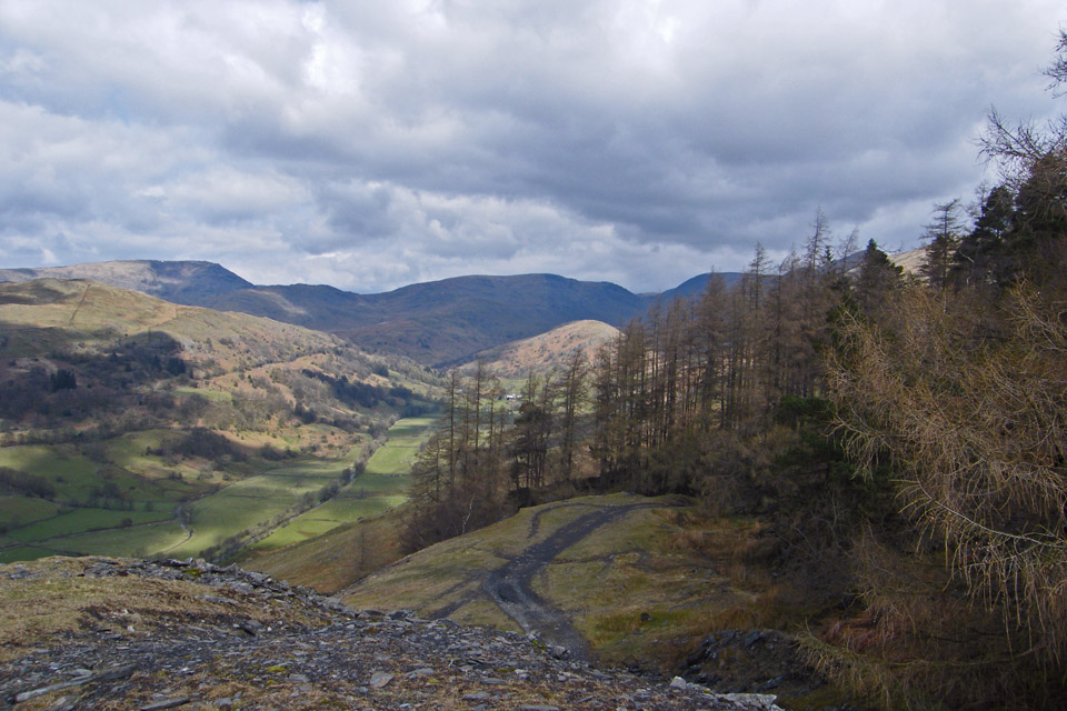
Following the Graburn track down to Applethwaite Quarry with Red Screes to the left and Caudale Moor dwarfing Troutbeck Tongue in the valley
Looking over the southen end of Wansfell to the Coniston Fells

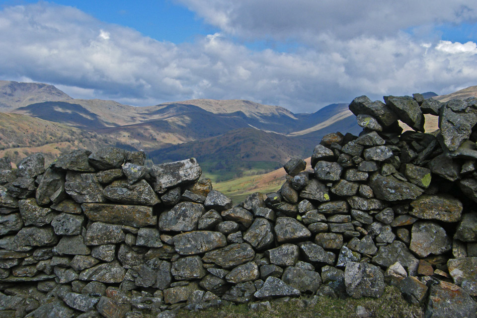
A view through the hole
and without it
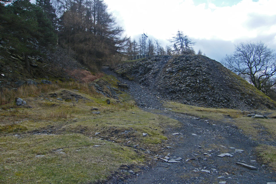
A small diversion for a tour of Applethwaite Quarry
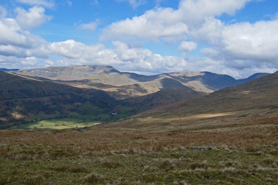
Troutbeck Tongue from the quarry
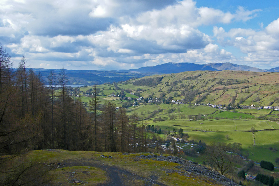
Troutbeck and Wansfell Pike
After leaving the quarry we followed the Garburn Track and then the Longmire Track
The sun shimes on Wetherlam
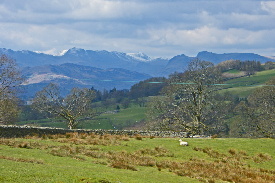
Crinkle Crags and Bowfell

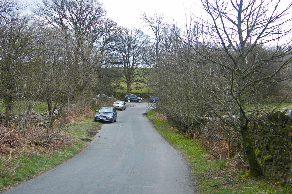
Back to the parking spot now a little busier
Next Walk: 14th April 2008: -- Grit Fell & Ward's Stone from the Jubilee Tower
Last Walk: 7th April 2008 -- Reston Scar and Hugill Fell from Staveley
We hope you have enjoyed viewing this walk. If you have any comments please sign our Guestbook or E_Mail us
