| Area: | Lake District | Ascent: | 1655 feet |
| Walk No: | 0168 | Time: | 4 hours 15 minutes |
| Date: | 29th May 2008 | Parking: | Lanthwaite Wood NT CP |
| Distance: | 6.25 miles | Weather: | Fine with sunny spells |
| Route: | Car - Loweswater - Mellbreak - Loweswater - Car |
For those of you that are thinking of going onto the hills I would strongly recommend that you read the advice given by the Mountain Rescue organisation of England and Wales. To read this advice, which will open in a new page please click HERE. If you would like to make a donation to the Mountain Rescue organisation which is purely voluntary please click HERE. Please make the time to read the advice page.
We had taken the previous day off from walking as (a) it was raining and (b) we wanted to visit Annan on the Solway Firth where I spent many happy holidays with relations when I was a youngster. Mellbreak is one of my favourite fells. You can make it as easy or as hard as you like depending on which route you take. My preferred route is up the northern end and keeping to the Crummock Water side as much as possible.
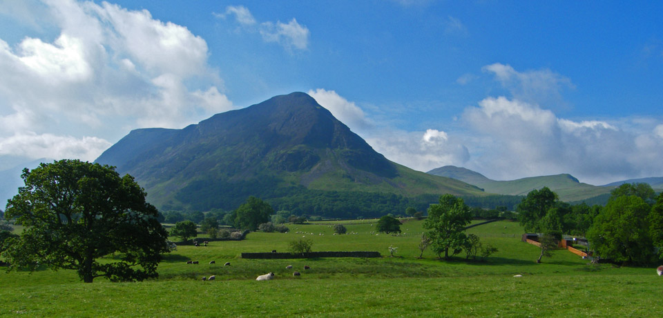
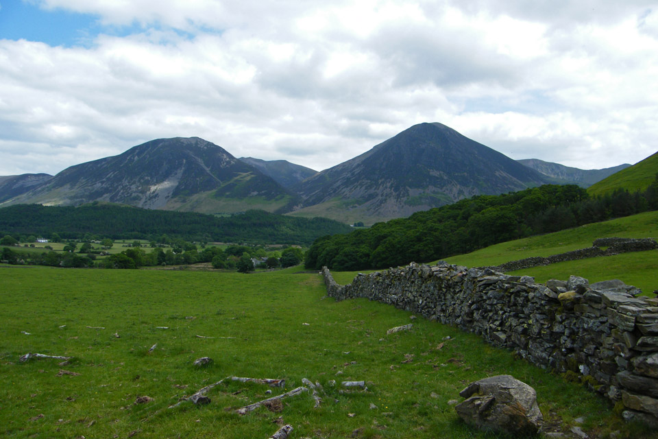
Mellbreak with Hen Comb behind as we walked from the car park
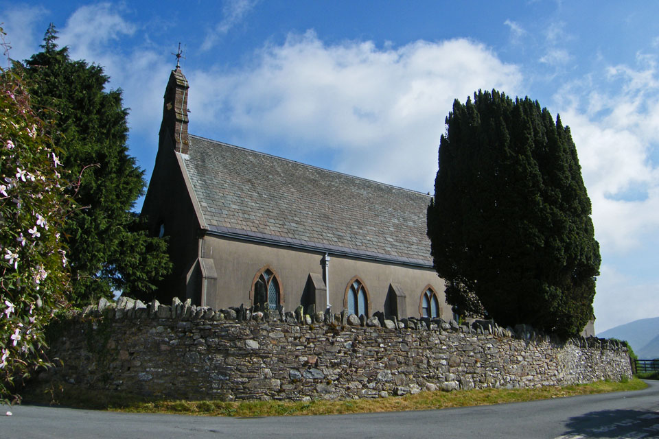
Loweswater church
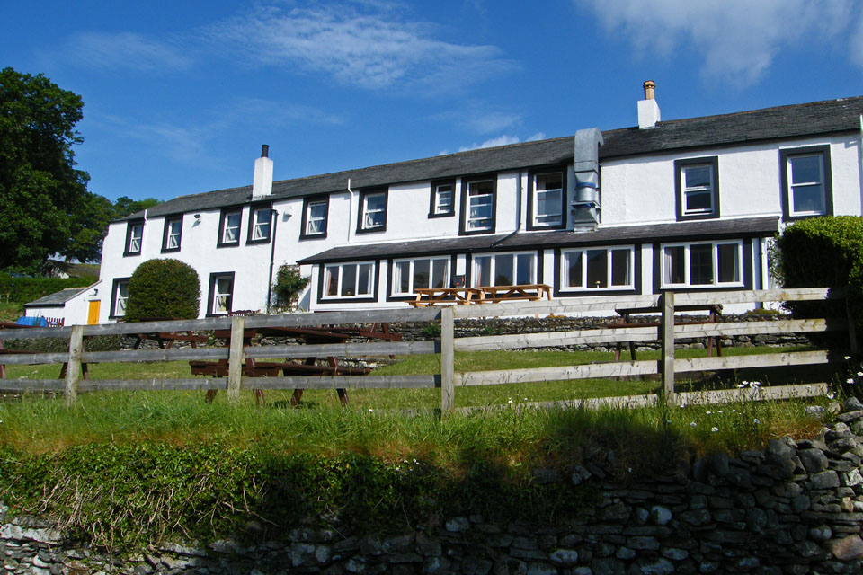
The Kirkstile Inn.....later to be visited
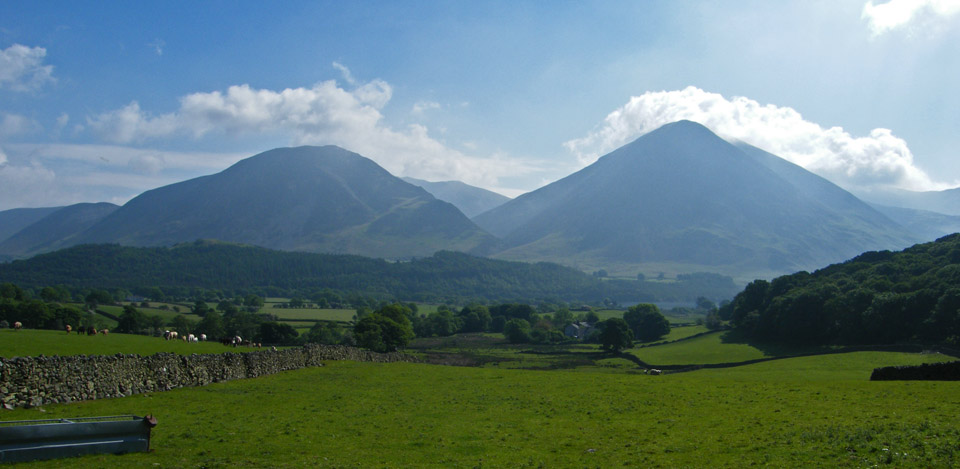
Whiteside and Grasmoor across the valley
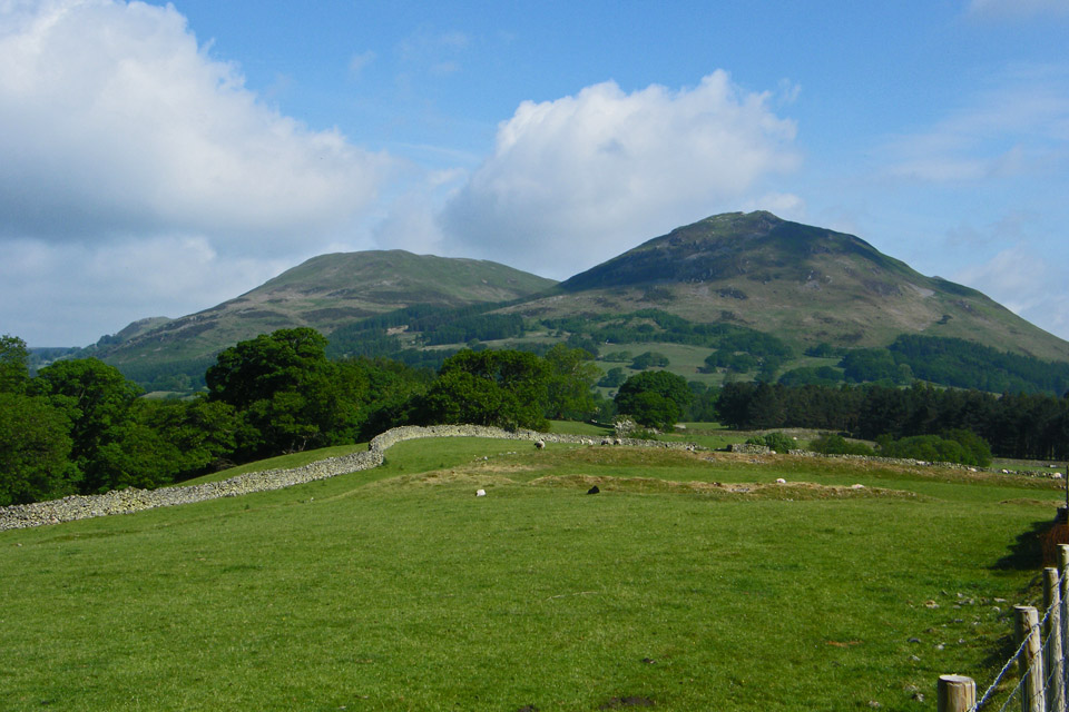
Darling Fell and Low Fell with the Earthworks marked on the OS Maps in the foreground
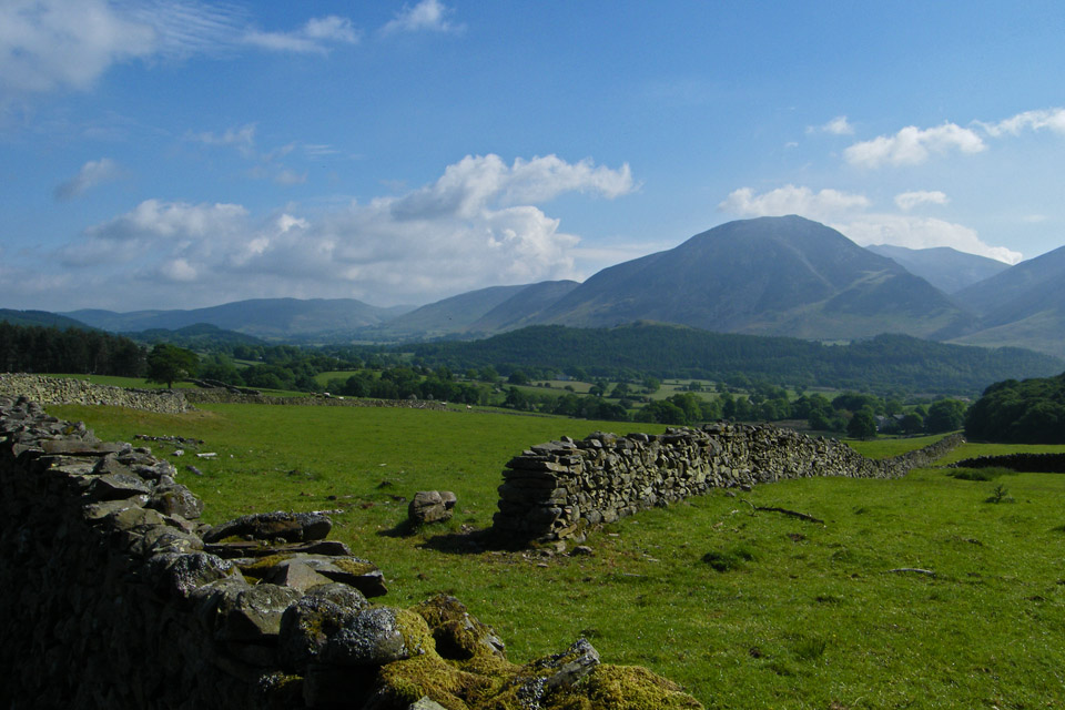
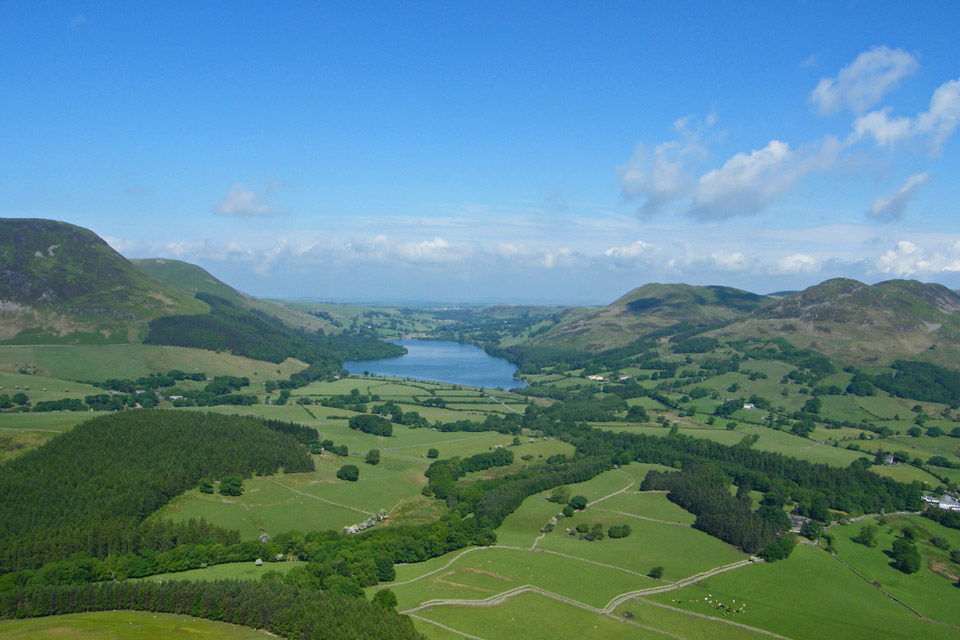
Looking down the Vale of Lorton
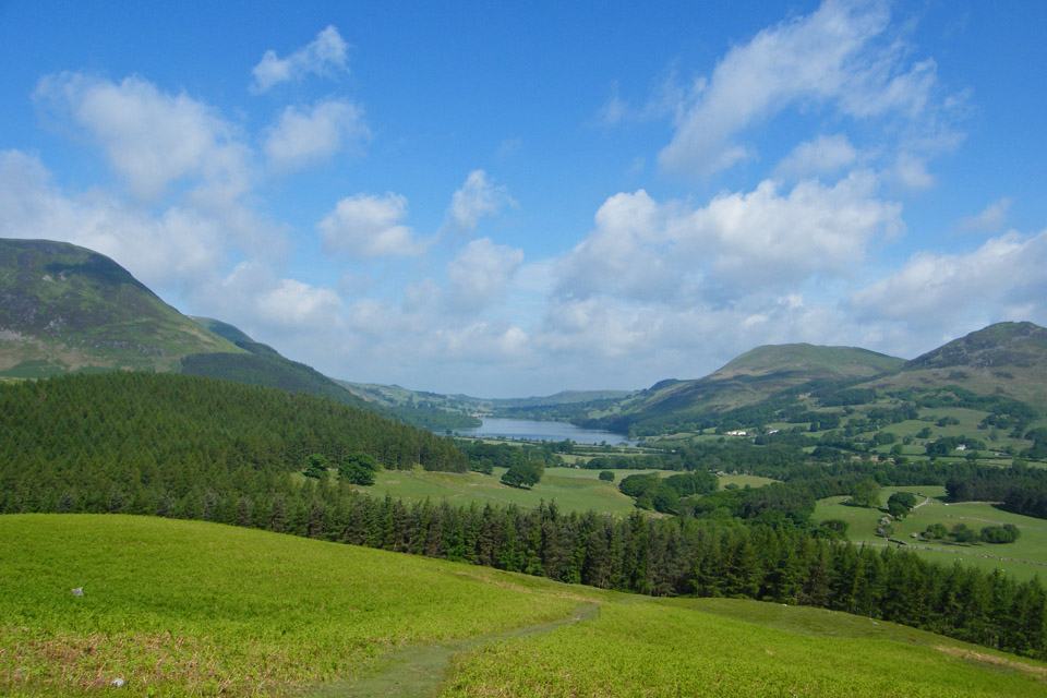
We have started climbing now, having walked along the lane from the Church Bridge at Loweswater. The view is down Loweswater with Darling & Low Fell to the right and Holme Wood to the left.
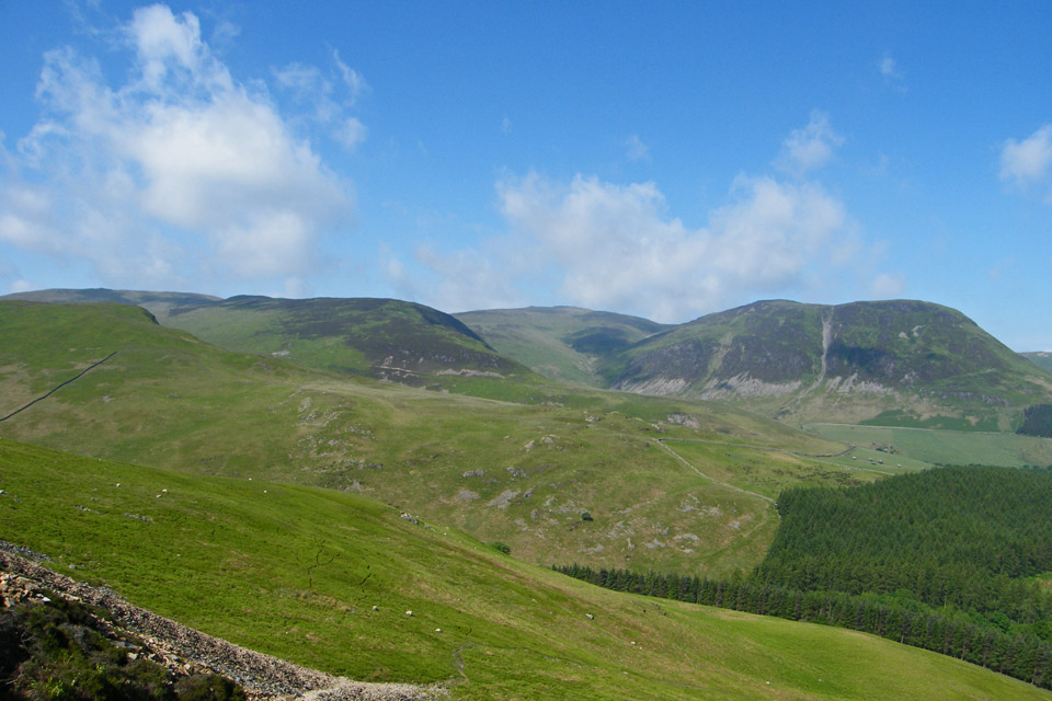
Hen Comb, Gavel Fell and Blake Fell
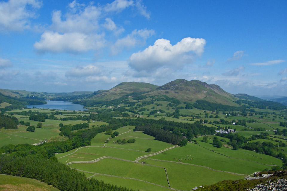
Upwards on the scree path and keeping to the Crummock water side as much as possible.
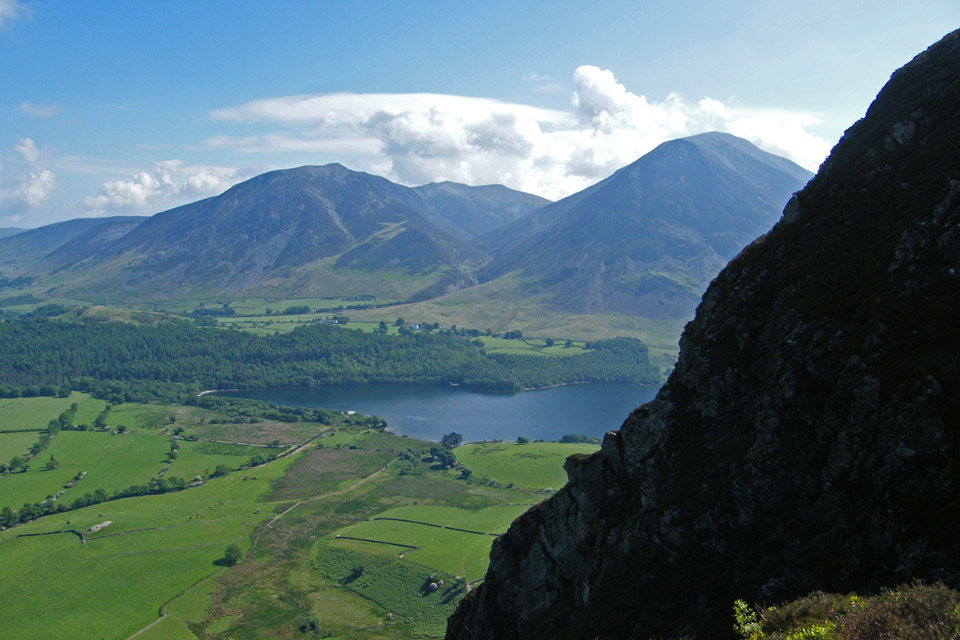
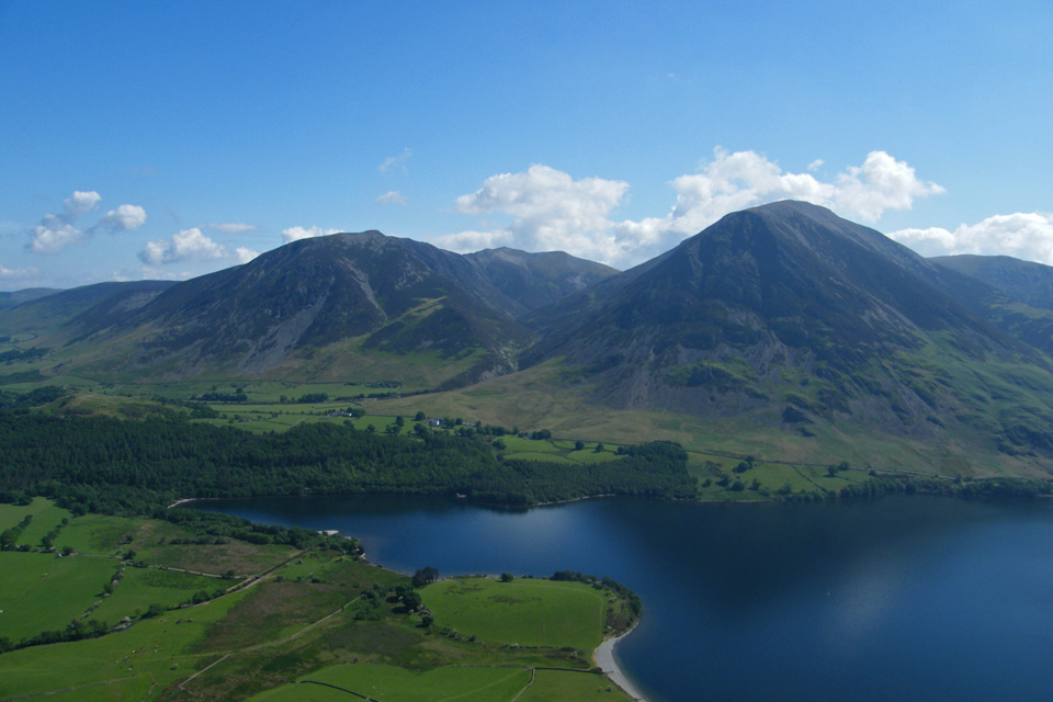
Looking across the foot of Crummock Water to Whiteside and Grasmoor
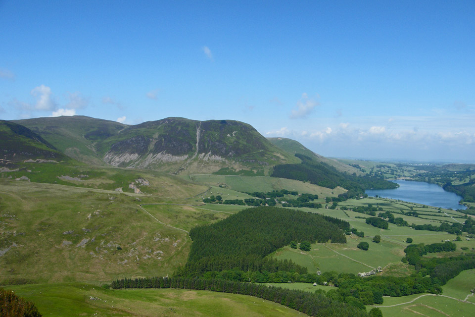
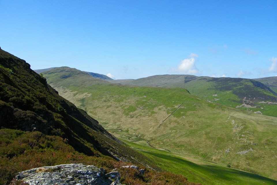
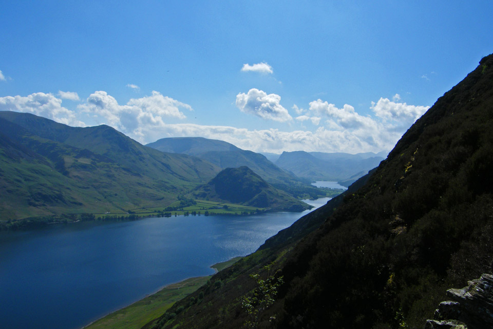
Wainwrights' "a lovely peep around a corner of Crummock water and Buttermere"
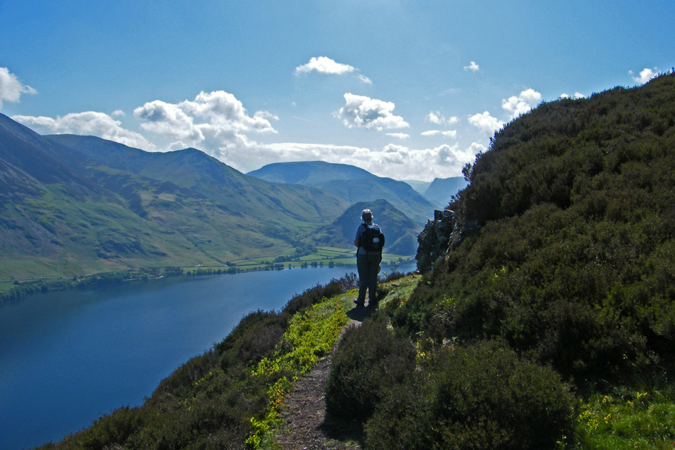
Edith takes a peek around the corner. From here the going is easier.
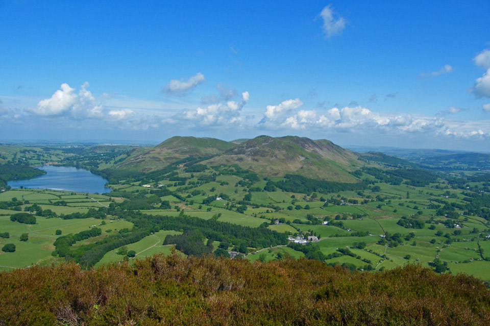
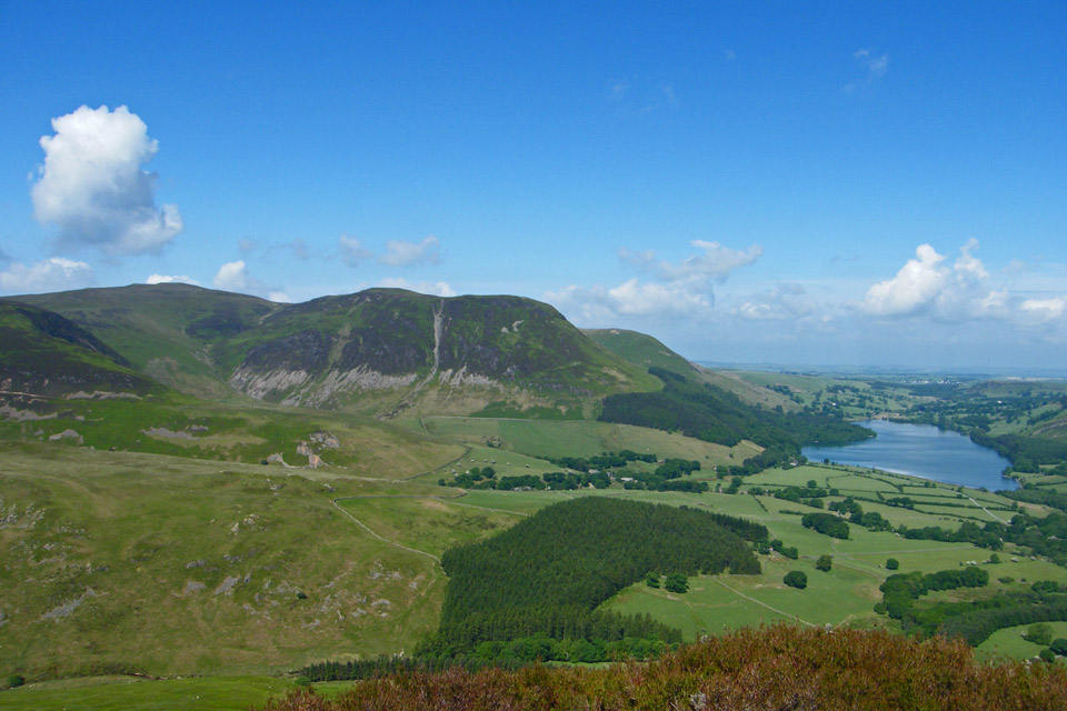
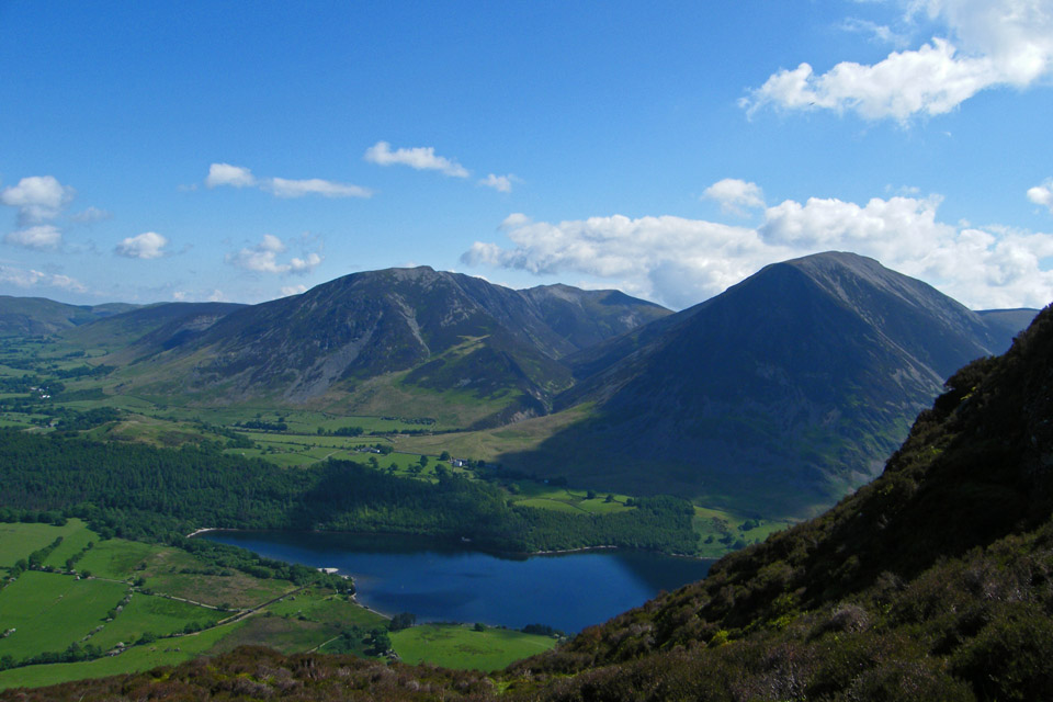
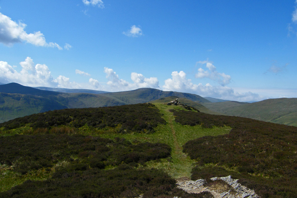
Eventually the North top is reached. This isn't the highest point of the fell but it is by far the better.
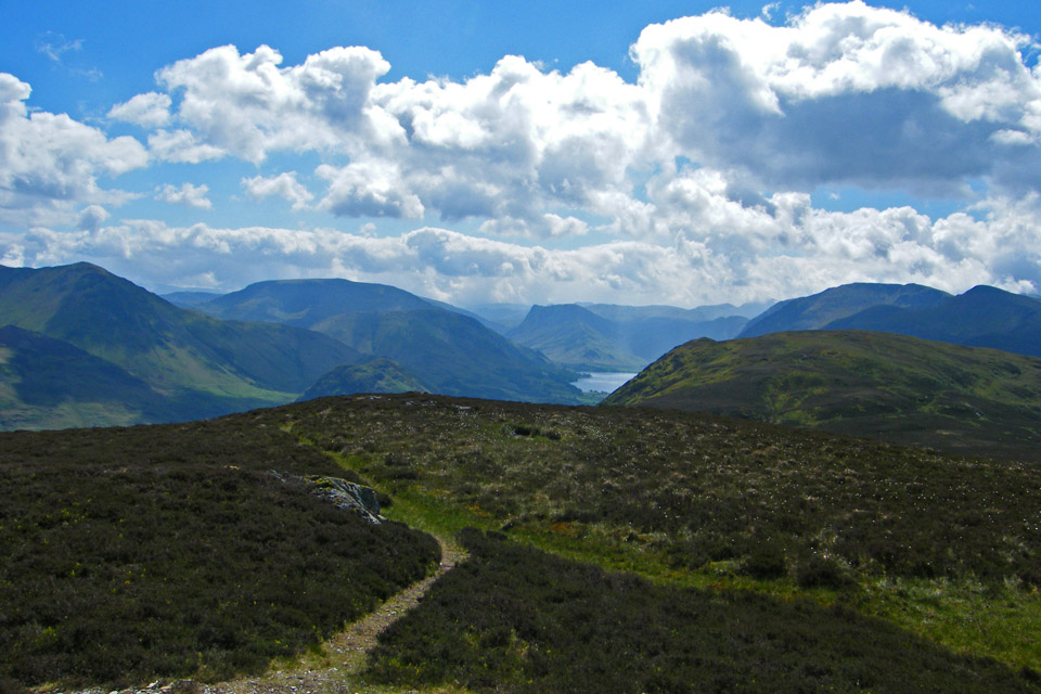
The highest point is the south top about 0.7 mls away.
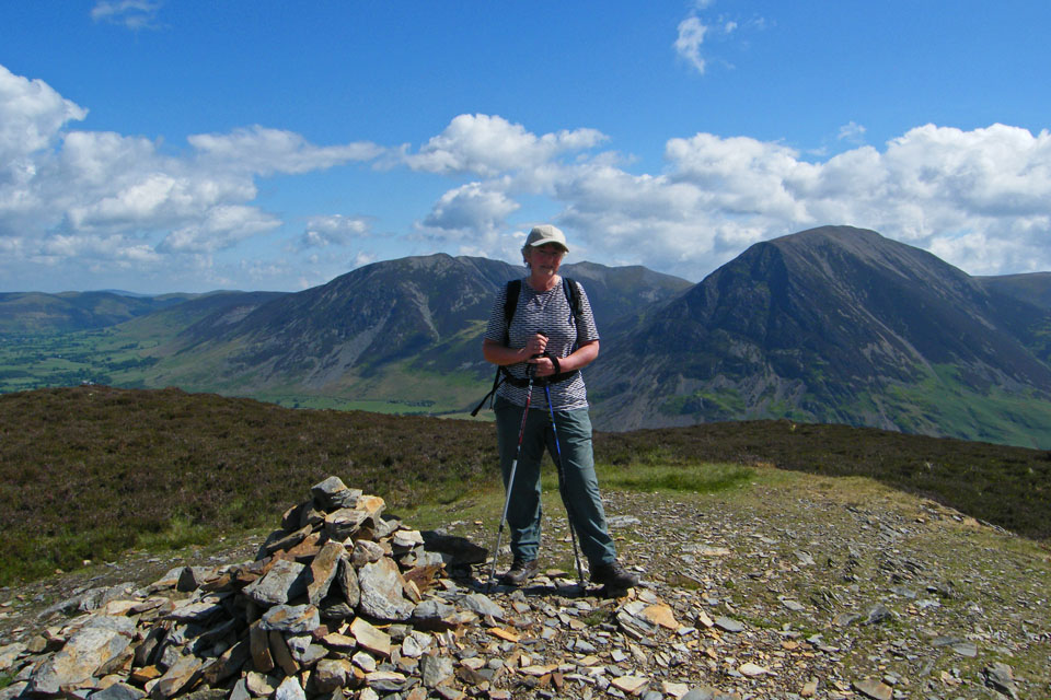
Mellbreak north top
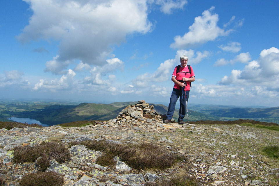
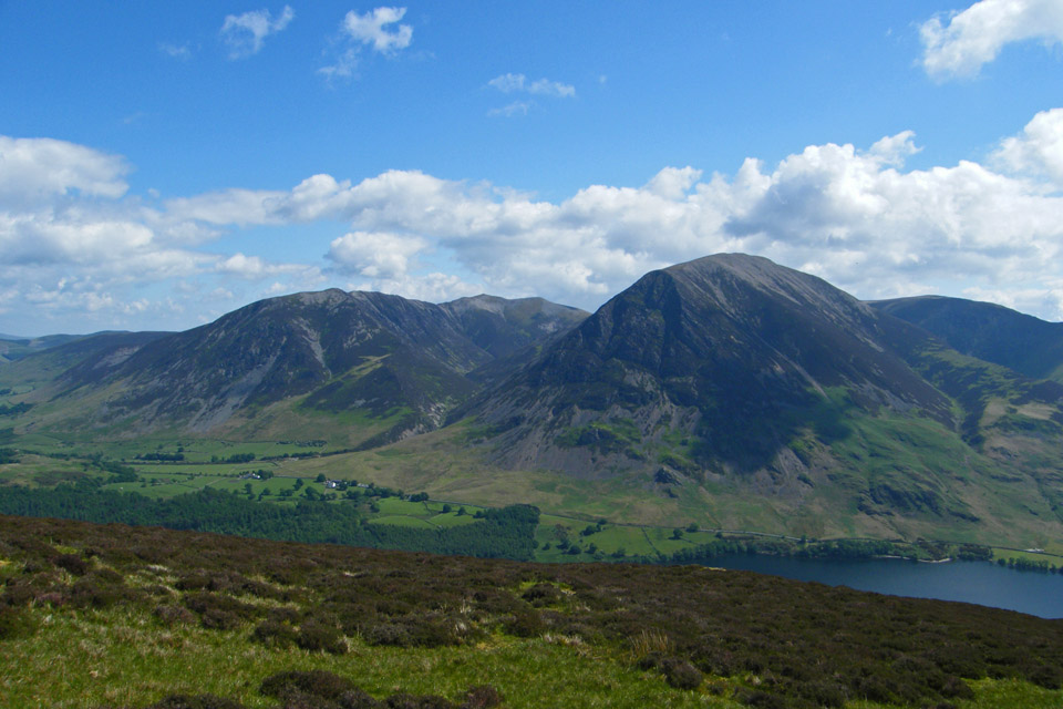
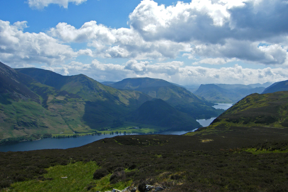
After taking in the views we set off for the south top.
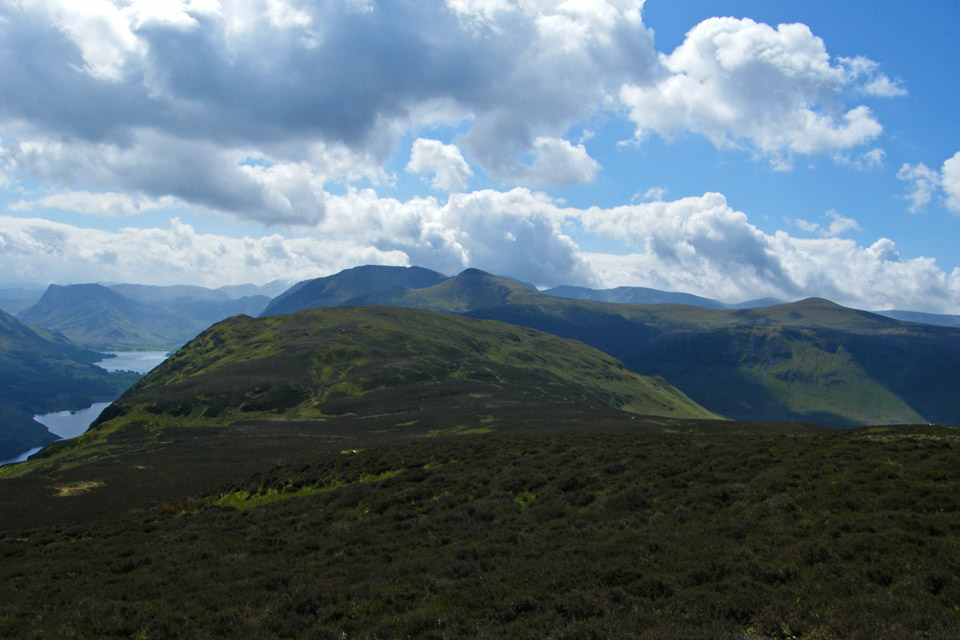
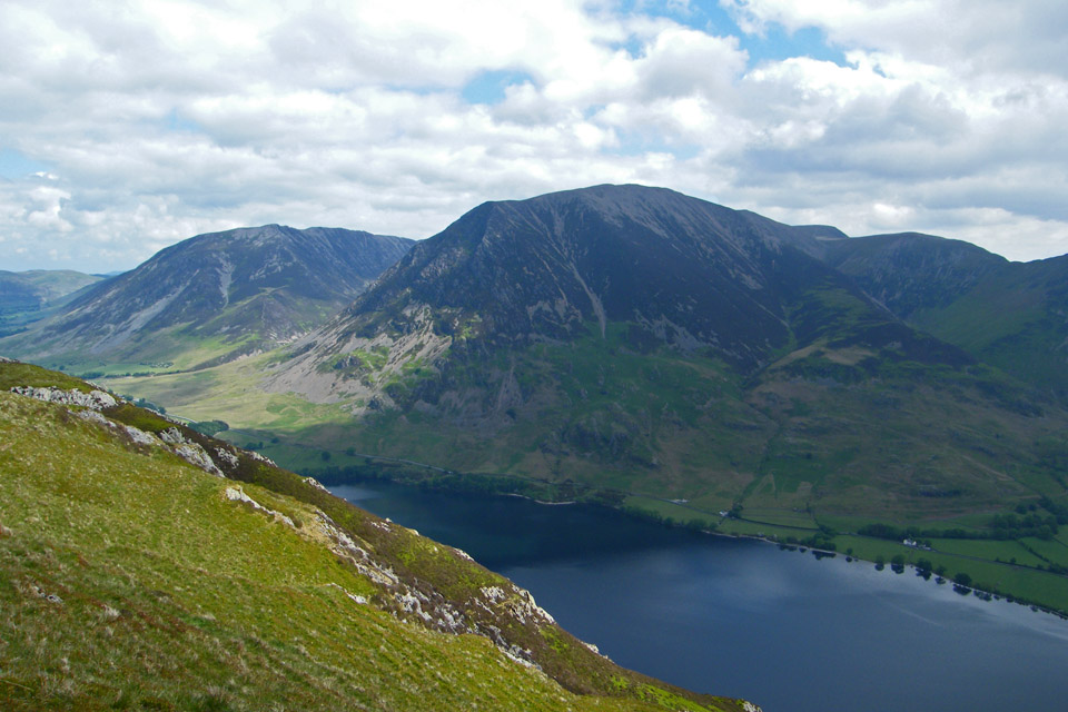
Having visited the south top it was find a lunch stop time.
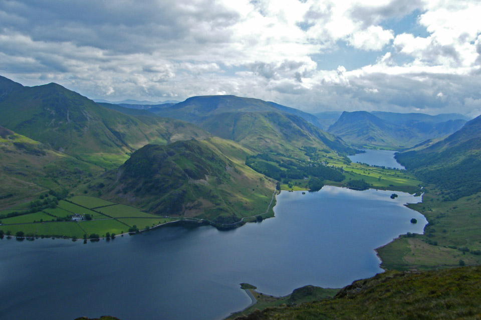
Hmmm......well I suppose this is as good as anywhere!! Rannerdale Knotts where we were earlier in the week is righ across from us
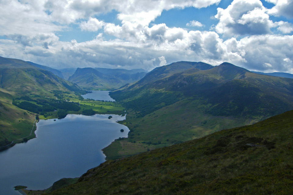
Fleetwith Pike at the head of the valley and the High Stile ridge to the right
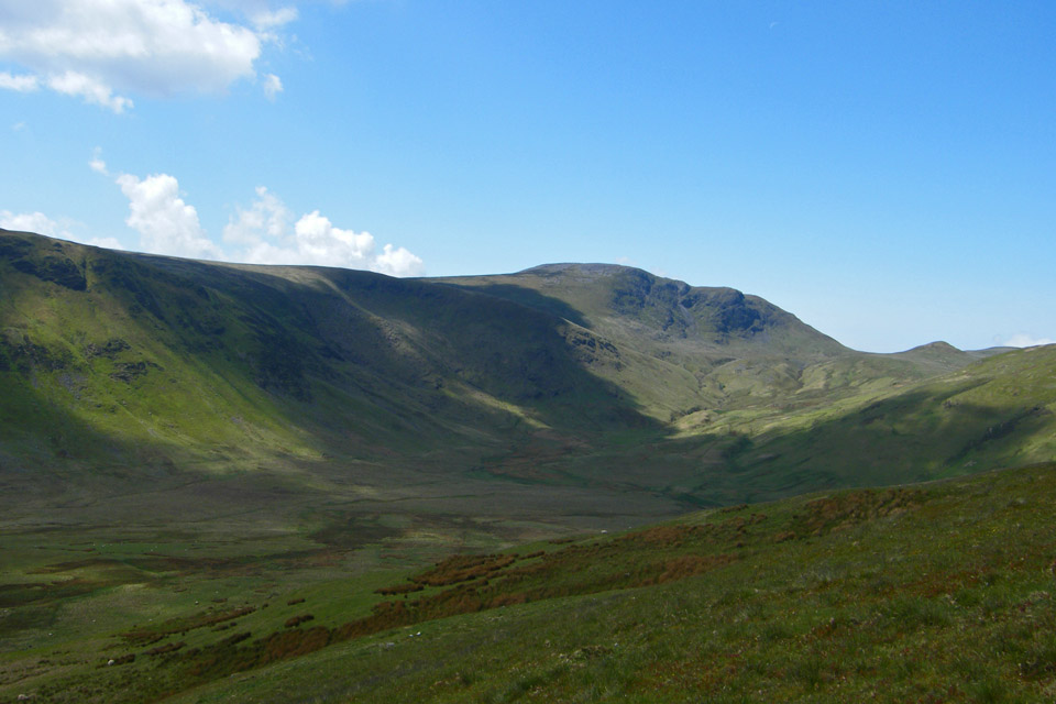
We are now descending to make our way into the valley of Mosedale with Great Bourne and Floutern Cop across.
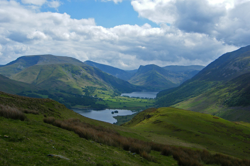
A last lingering look at the beautiful Buttermere valley before we drop down into Mosedale
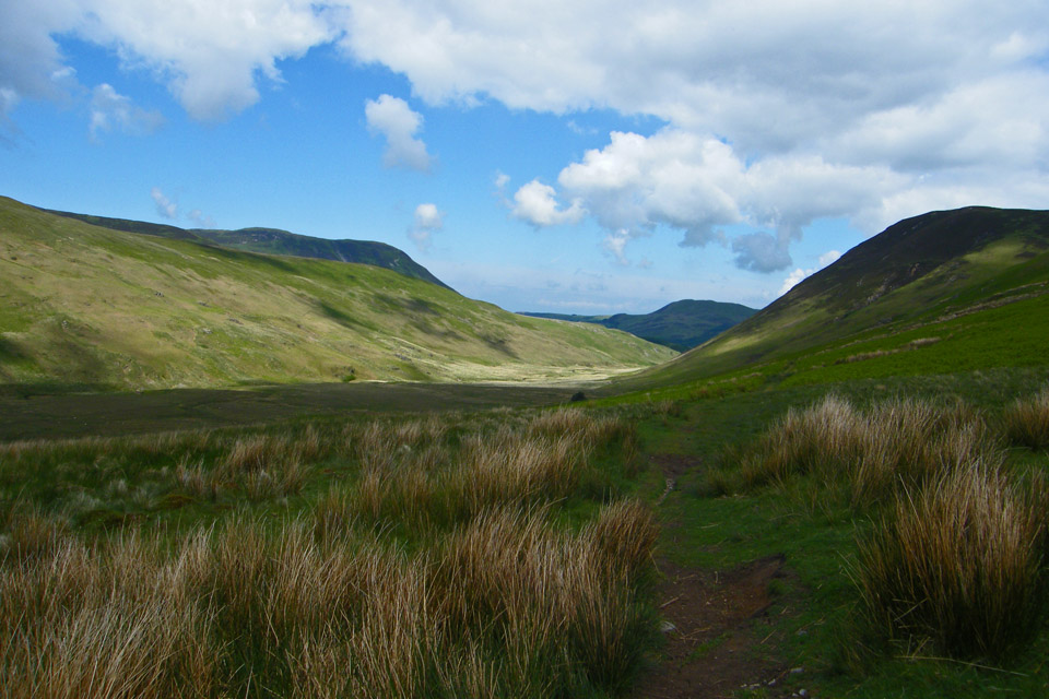
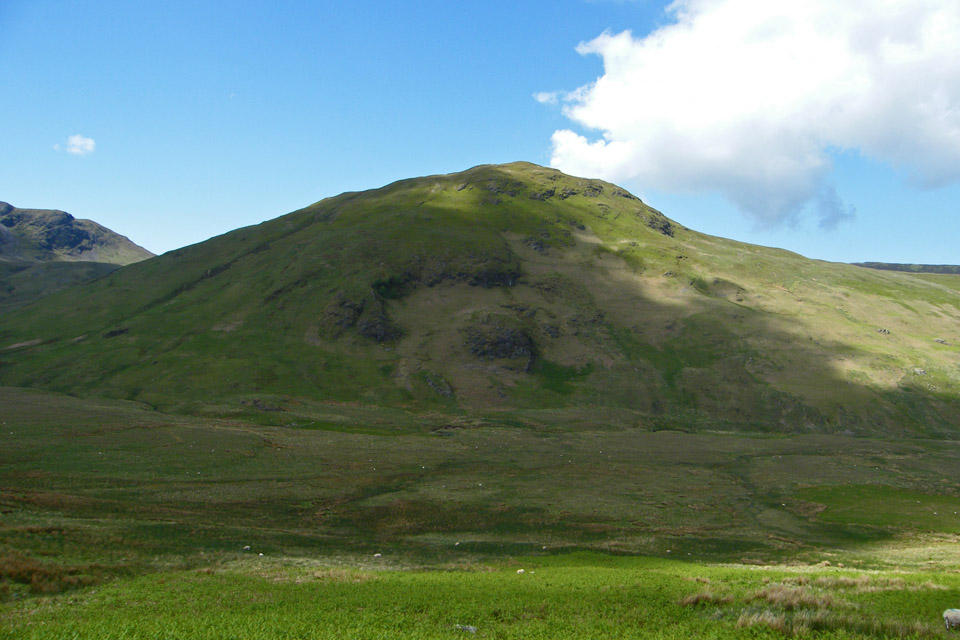
A look across Mosedale to Hen Comb
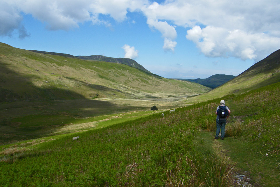
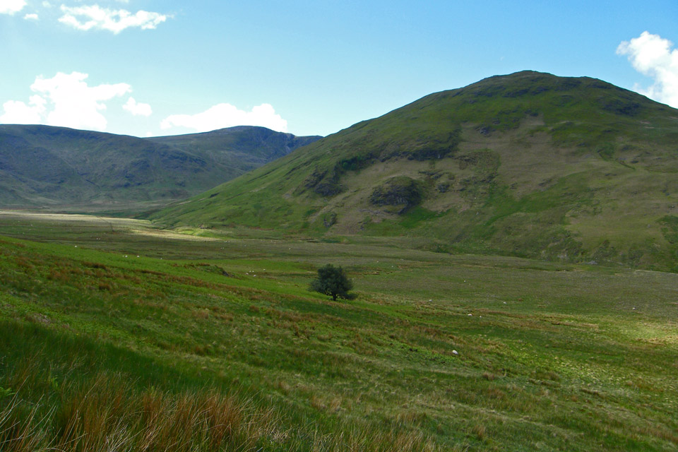
Making our way down Mosedale towards the Mosedale Holly Tree. Not many, if any, individual trees are shown on the OS Maps
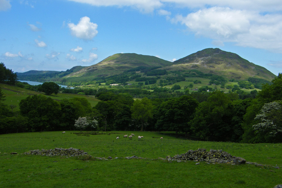
Nearly back to Loweswater with Darling & Low Fell ahead
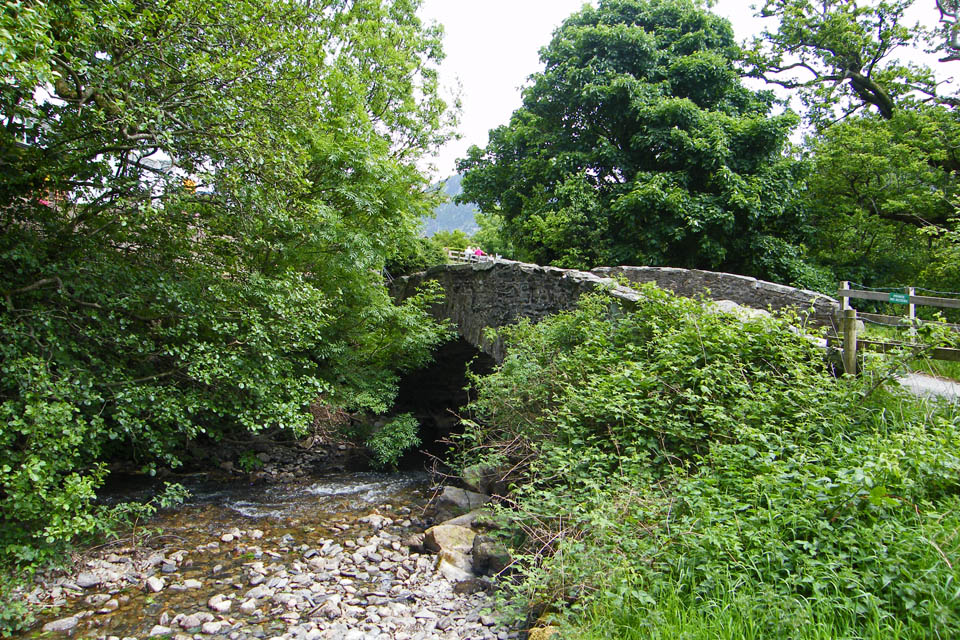
Church Bridge and a dry looking Park Beck.
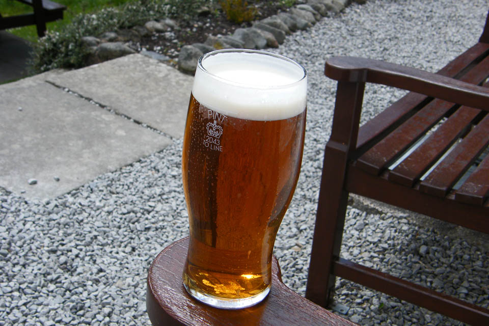
A pint of Melbreak Bitter brewed by the Loweswater micro brewery at the Kirkstile Inn.....It didn't touch the sides!!!
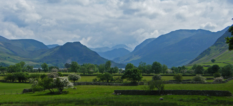
Walking back to the car, looking up the valley
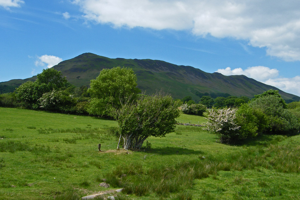
Low Fell from Scalehill Bridge
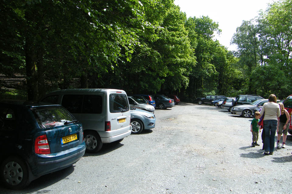
And finally ....back to the car.
Next Walk: 30th May 2008 -- Knott, Great Sca Fell, Meal Fell and Great Cockup from Orthwaite
Last Walk: 27th May 2008 -- A circuit of Derwentwater from Portinscale
We hope you have enjoyed viewing this walk. If you have any comments please sign our Guestbook or E_Mail us