| Area: | Lake District | Ascent: | 1525 feet |
| Walk No: | 185 | Time: | 3 hours 30 minutes |
| Date: | 13th July 2008 | Parking: | Elterwater |
| Distance: | 5.25 miles | Weather: | Fine but cloudy |
| Route: | Car - Huntingstile Crag - Dow Bank - Spedding Crag - Megs Gill - Silver How - Dow Bank - Huntingstile Crag - Car |
For those of you that are thinking of going onto the hills I would strongly recommend that you read the advice given by the Mountain Rescue organisation of England and Wales. To read this advice, which will open in a new page please click HERE. If you would like to make a donation to the Mountain Rescue organisation which is purely voluntary please click HERE. Please make the time to read the advice page.
We were parked up in Elterwater around 9am having decided the previous evening to do this walk. Unfortunately the weather wasn't quite as forecast, it was rather dull rather than sunny but no matter. We made our way across Walthwaite Bottom and then up onto Huntingstile Crag. Our route then followed the ridge over Dow Bank and Spedding Crag before taking a path around the top of Megs Gill. We followed Megs Gill to its source and then picked up the path from Lang How to Silver How which we followed to the summit of Silver How. From the summit we took the path down the scree gully (now a pitched path). From the bottom of the gully I had intended to return on the direct path to Dow Bank but decided to take the path up to Spedding Crag again. Around this time a gentleman from across "the pond" joined us of which more later.
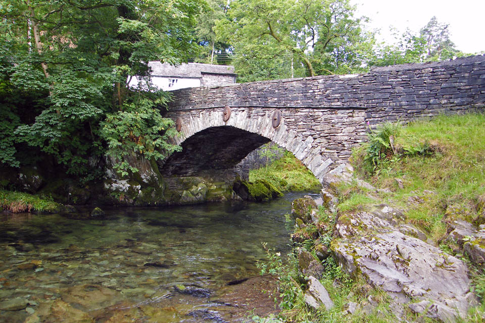
Elterwater Bridge
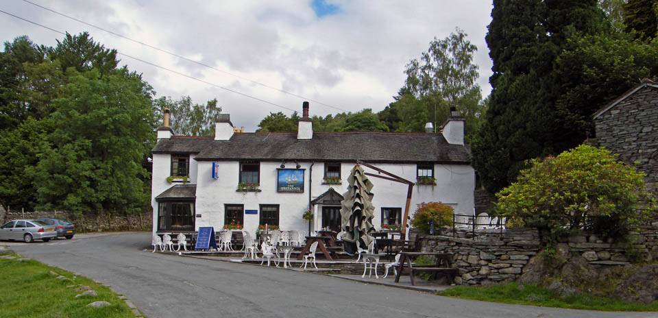
The Brittania at Elterwater
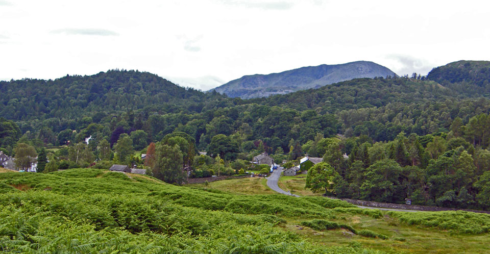
Elterwater village and Wetherlam from Walthwaite Bottom
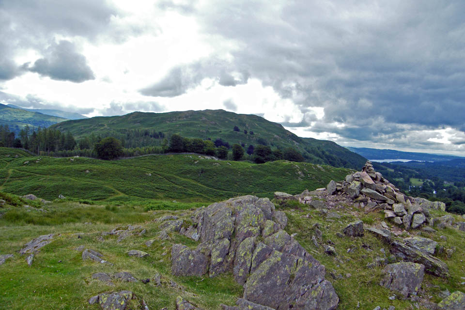
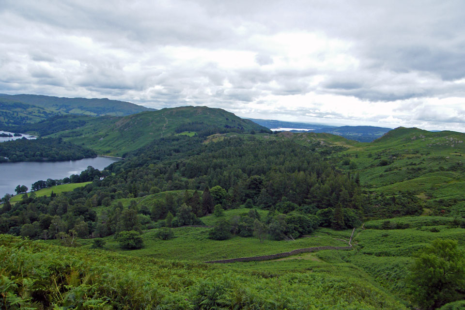
Loughrigg Fell from Huntingstile Crag
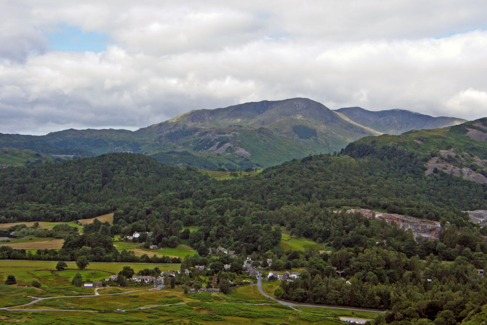
Elterwater village with Wetherllam & Swirl How behind
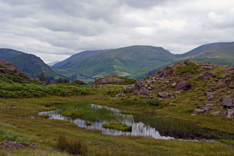
Looking across the samll unnamed tarn on Huntingstile Crag to Seat Sandal with the Helvellyn ridge under cloud
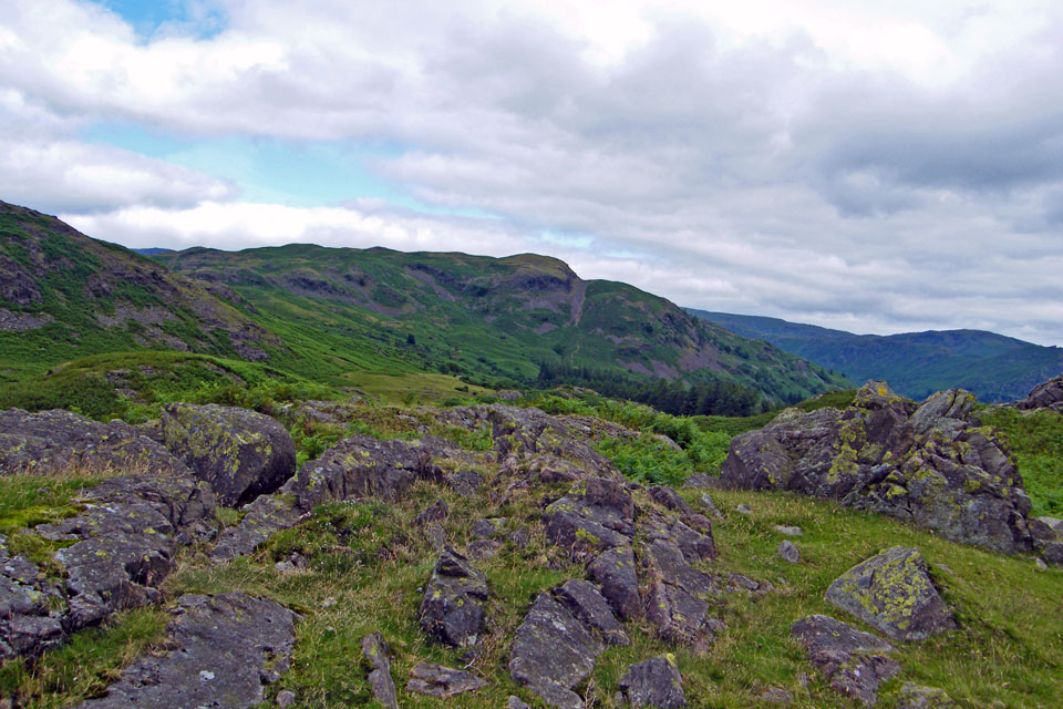
A look across to Silver How showing the scree gully which would be our descent route
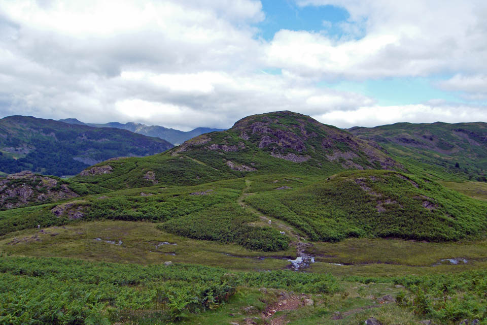
But first we have to go this way....over Dow Bank and Spedding Crag
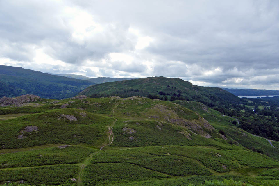
A look back from Dow Bank
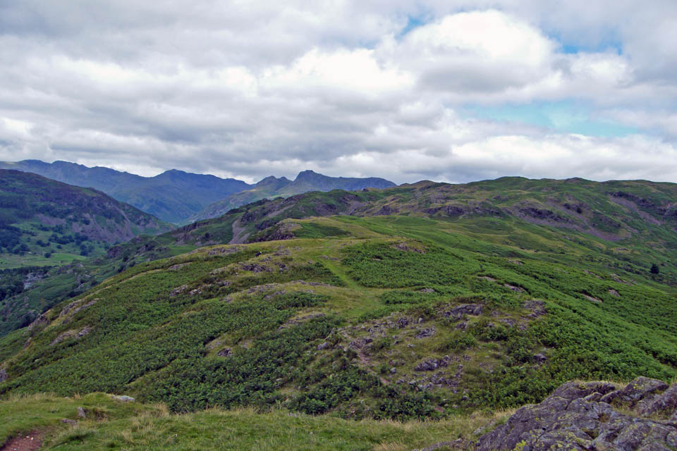
And the way ahead
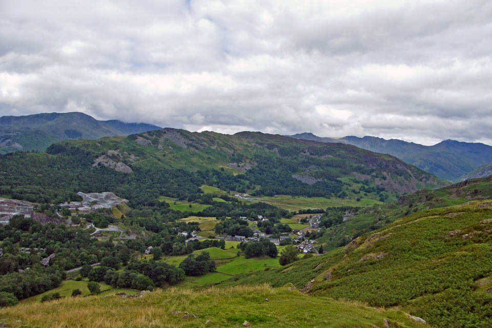
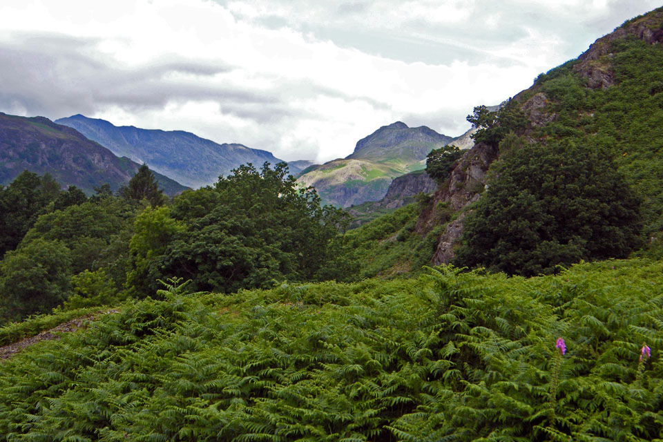
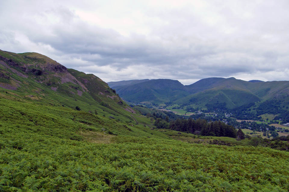
A look down into Great Langdale
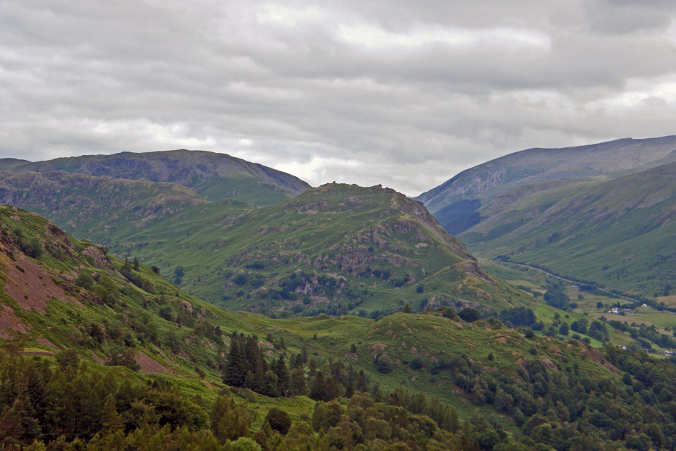
A close up of Helm Crag (The Lion & the Lamb) with Steel Fell behind to the left
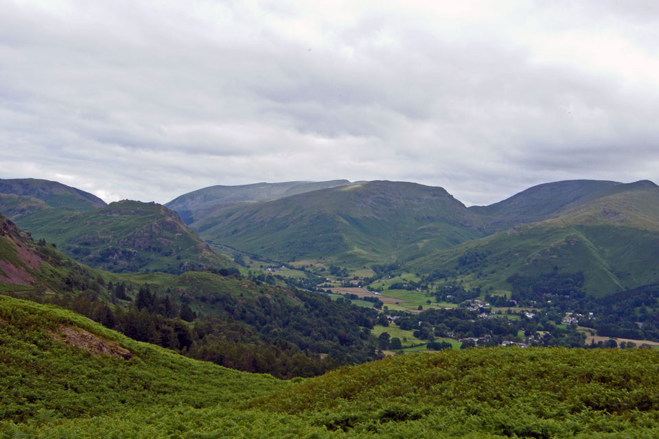
A wider view shows Steel Fell & Helm Crag on the left. The Helvellyn ridge, Seat Sandal, Fairfield, Great Rigg & Stone Arthur to the right
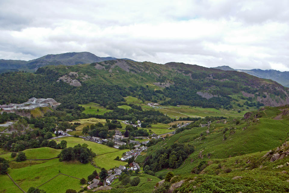
A look down to Chapel Stile from Spedding Crag
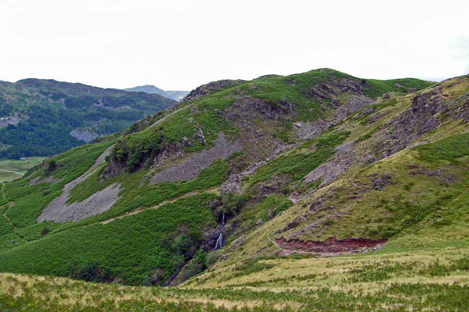
Waterfalls in Megs Gill
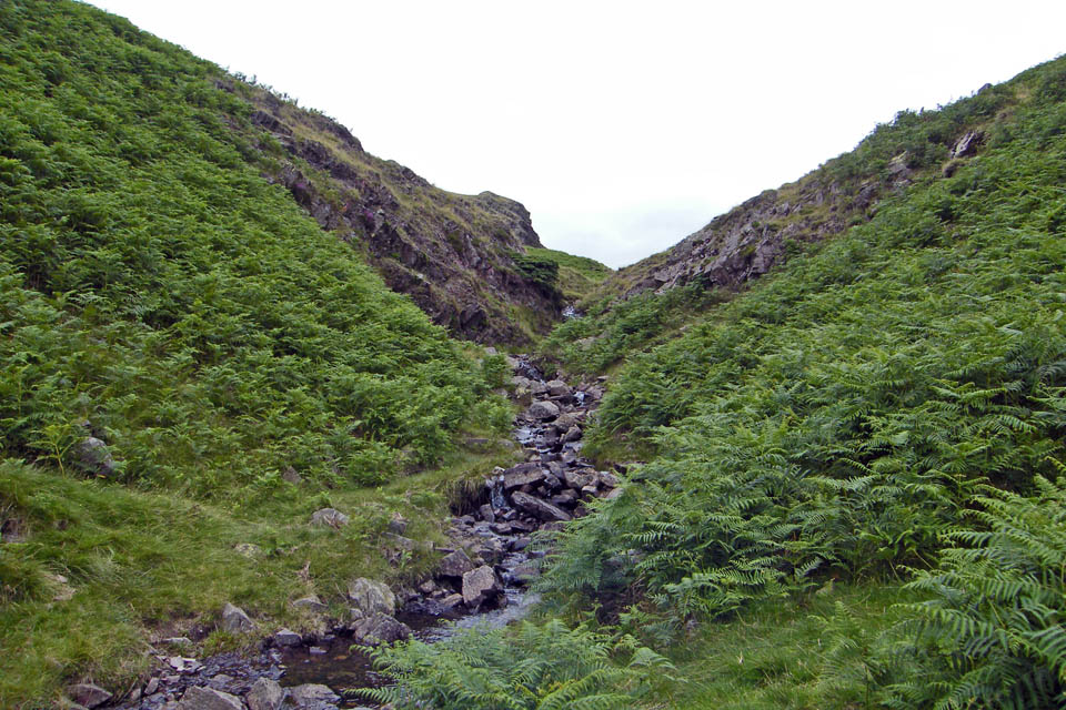
We took a path around the top of the gill and then where it crossed the gill we left it to follow the gill up to its source
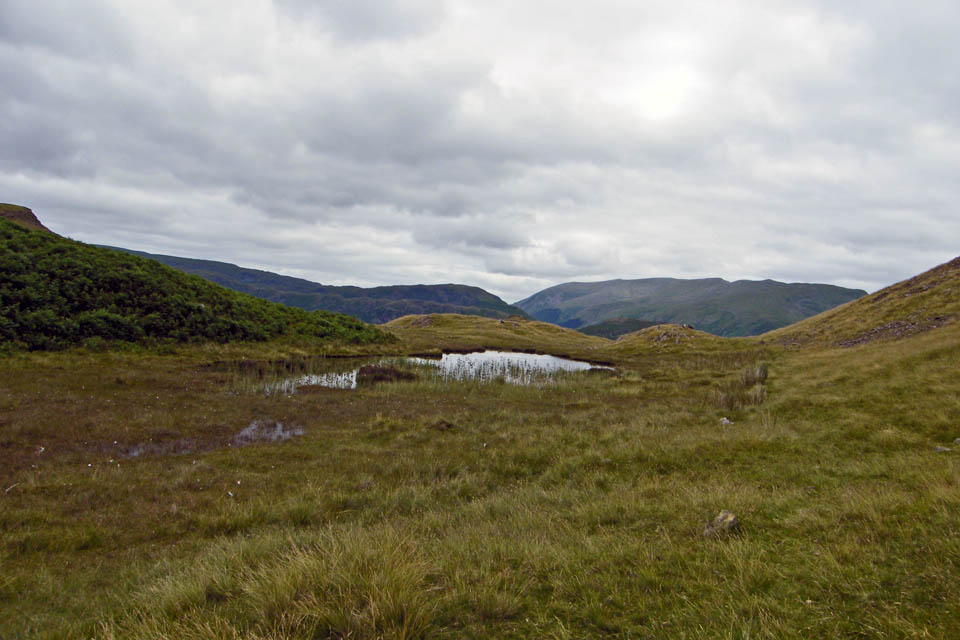
Once we had passed this small unnamed tarn we joined the path from Lang How to Silver How
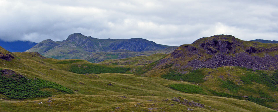
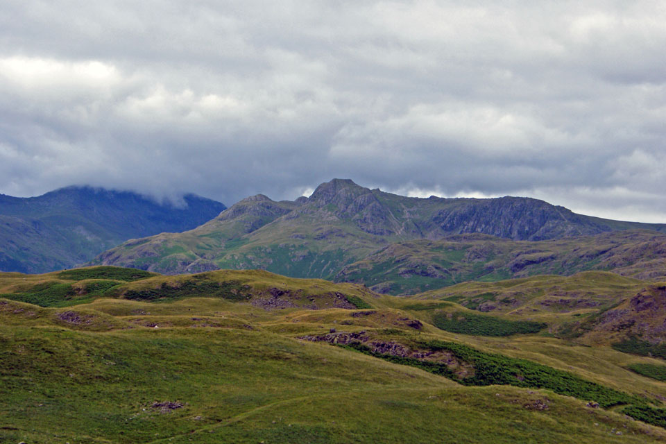
The Langdale Pikes with Lang How to the right
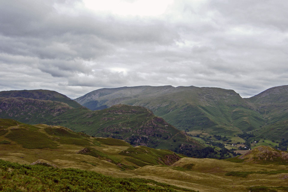
Helm Crag from Silver How
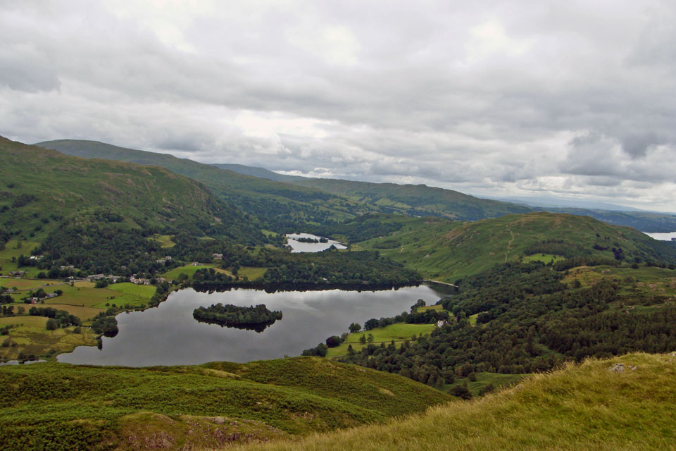
Grasmere & Rydal Water with Loughrigg to the right from Silver How
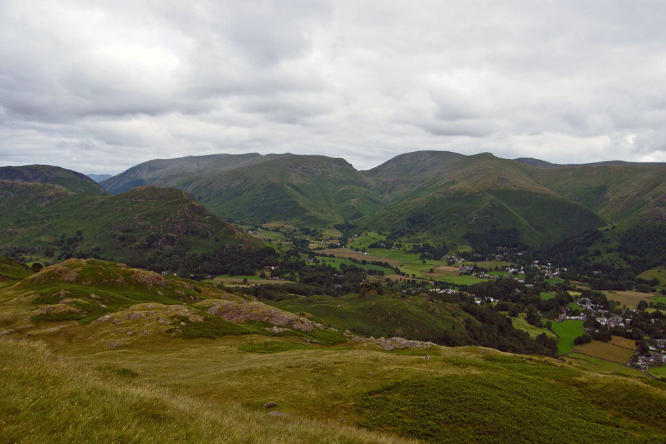
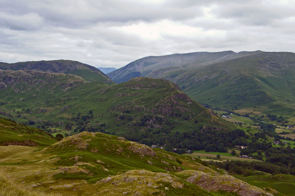
Descending the SE gully
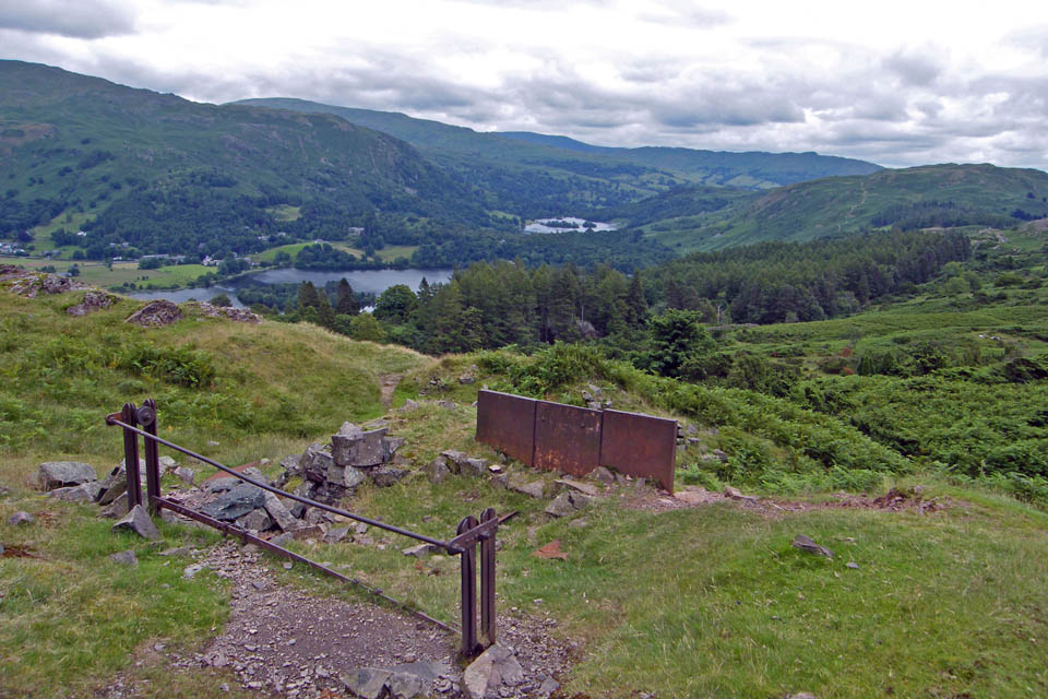
Old steelwork on the way to Spedding Crag. It was just after this point that we met up with an American gentleman called Steve Smith. Steve is from Lexington in North Carolina and was staying in Grasmere with a few other people for a few days doing some preparation walking for the Coast to Coast. The group are being guided by Geoff Williams. Steve was not with the rest of the group today as he had to stay behind in Grasmere to buy some new gear as the airline had sent his walking gear elsewhere. They are are going to St.Bees tomorrow (Monday) to start the walk.
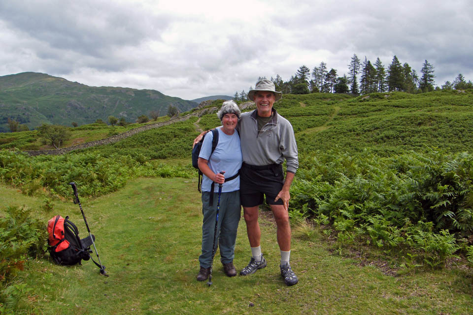
After walking with Steve for awhile amd comparing notes on the wildlife of the UK and US it was time to say our goodbyes......Hope you have a good C2C walk Steve and remember to get in touch when you get back home.
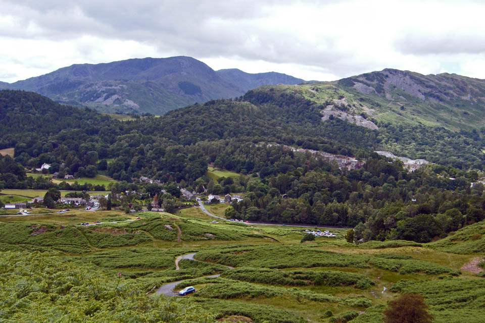
Walking back down to Elterwater
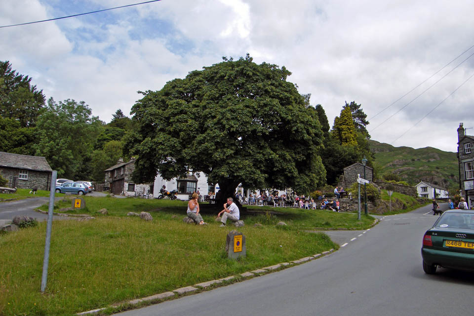
The village was a lot busier by now
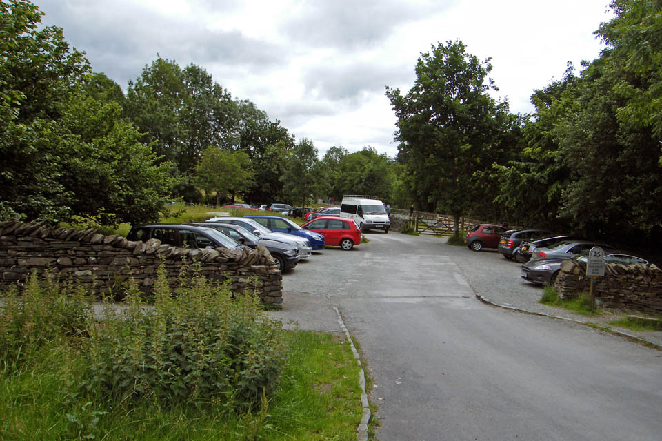
And finally.......back to the car
Next Walk: 15th July 2008 -- Galsson Dock and the Lancashire Coastal Way
Last Walk: 9th July 2008 -- Loughrigg from Clappersgate
We hope you have enjoyed viewing this walk. If you have any comments please sign our Guestbook or E_Mail us