
| Area: | Lake District | Ascent: | 1502 feet |
| Walk No: | 184 | Time: | 4 hours |
| Date: | 9th July 2008 | Parking: | Roadside near Brathay Bridge Clappersgate (NY365033) |
| Distance: | 6.50 miles | Weather: | Dull at start brightening towards the end. |
| Route: | Car - Clappersgate - Todd Crag - Lily Tarn - Loughrigg - Red Bank - Loughrigg Tarn - Ellers - Car |
For those of you that are thinking of going onto the hills I would strongly recommend that you read the advice given by the Mountain Rescue organisation of England and Wales. To read this advice, which will open in a new page please click HERE. If you would like to make a donation to the Mountain Rescue organisation which is purely voluntary please click HERE. Please make the time to read the advice page.
Once again the weatherman was out with the forecast. The forecast was for a bright start to the day becoming cloudy with showers by early afternoon. With this in mind we set our stall out for an earlyish start. Come the morning however we woke to dull gray skies but decided to go and see what the day had to offer. As it turned out it wasn't that bad, it was dull for the first part of the walk but then brightened into a decent day. Incidentally according to my written records this was my 50th ascent of Loughrigg ......if I had known before we set off I'd have taken a bottle of something.
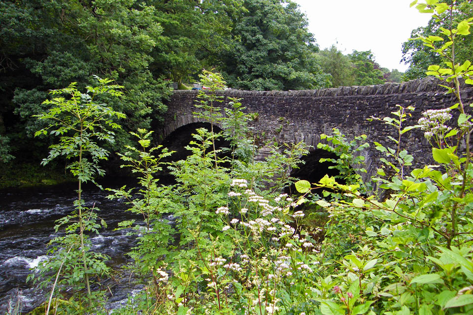
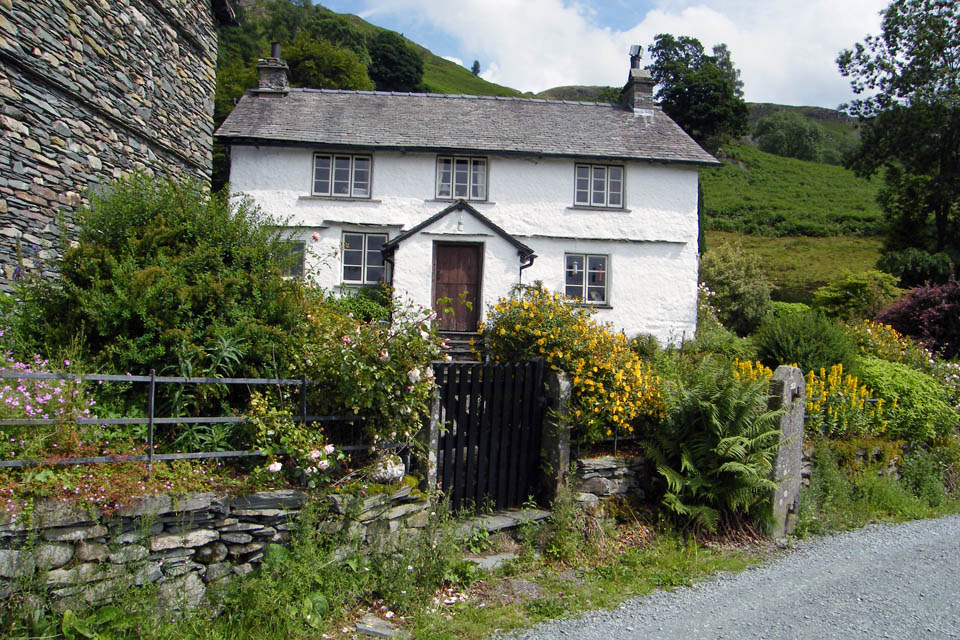
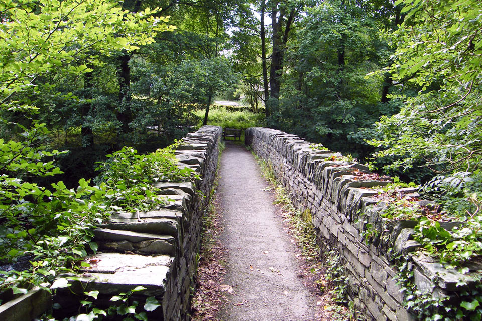
Brathay Bridge at Clappersgate
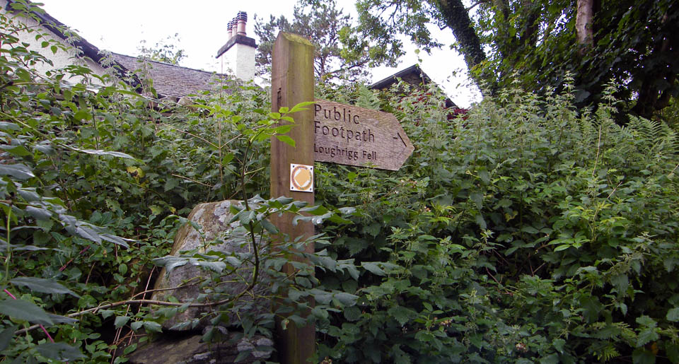
Let's go up here...
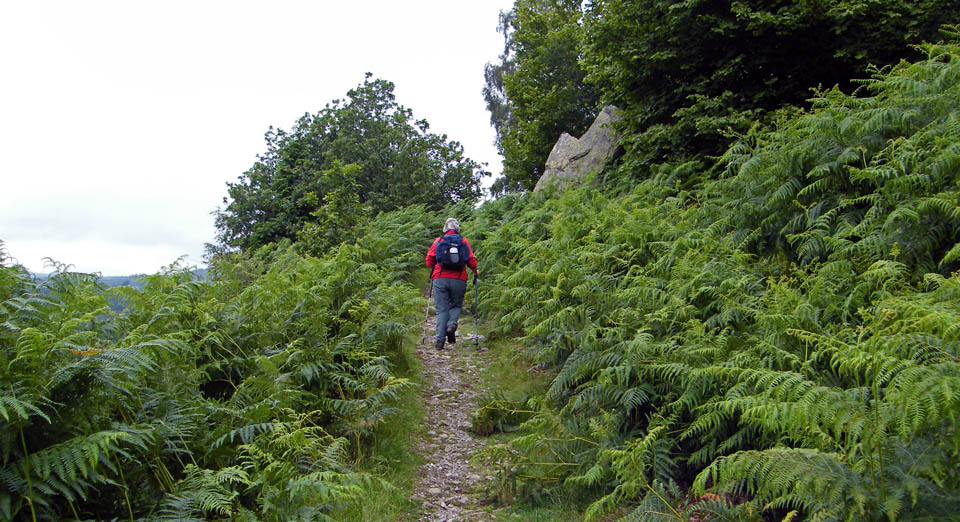
After some initial roughness, due mainly to old roots this is a lovely path up to Todd Crag
If Wainwright can call these lumps overlooking Windermere Todd Crag then so can I. Actually Todd Crag is 0.3miles away to the westward.
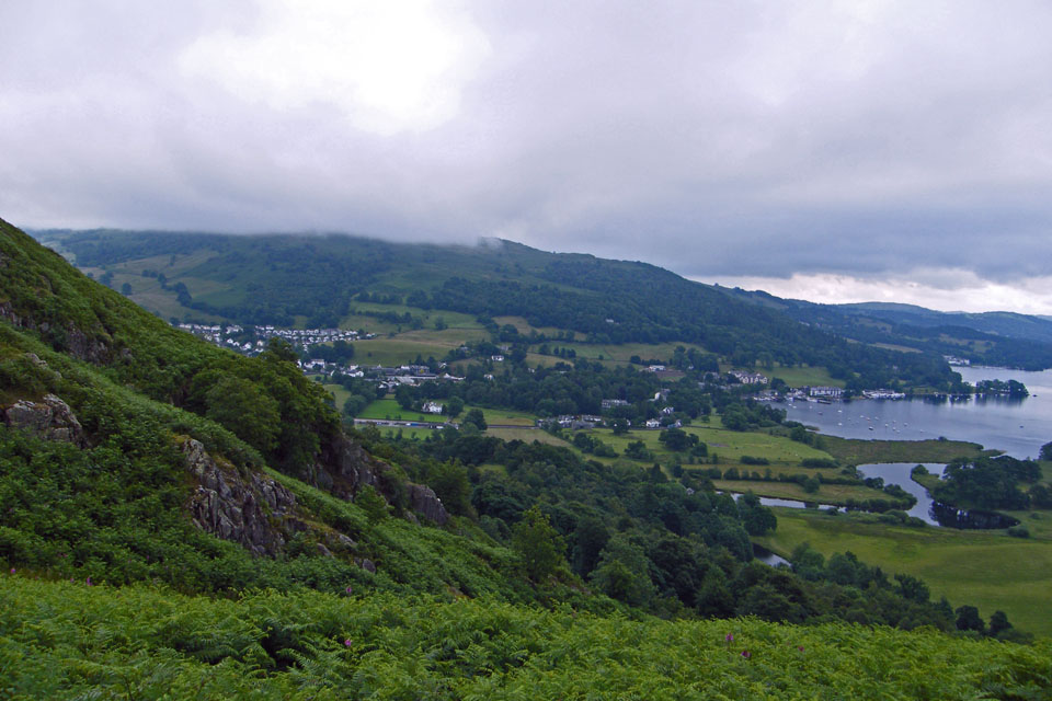
Looking down on Waterhead with Wansfell Pike in cloud
A look down Windermere
Even the lowly Park Fell had cloud on it at this point
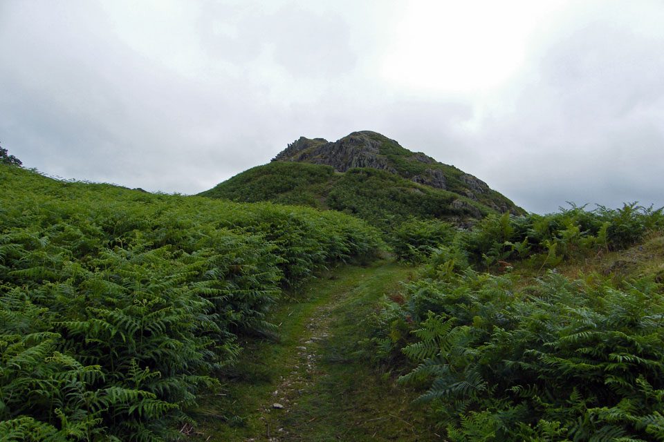
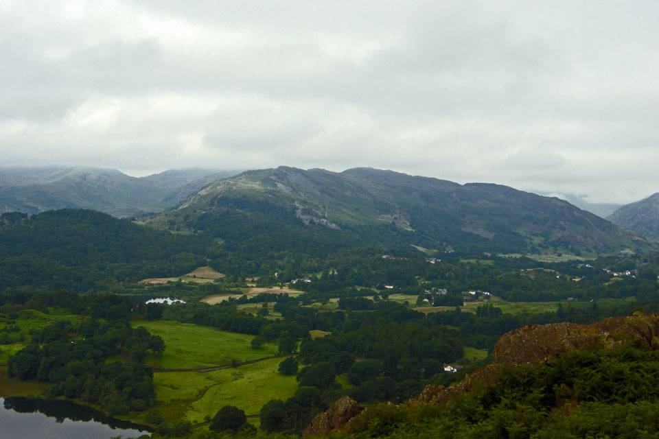
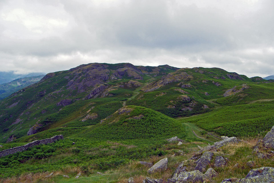
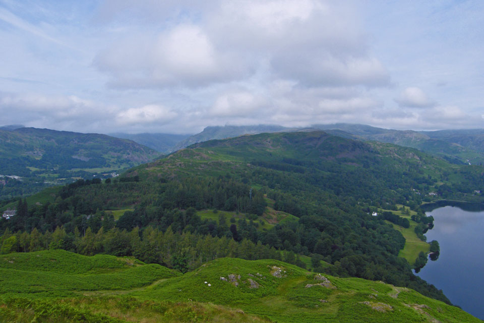
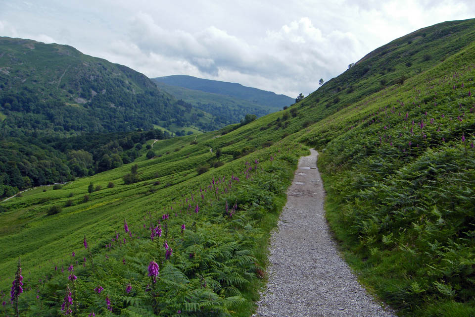
Our route ahead
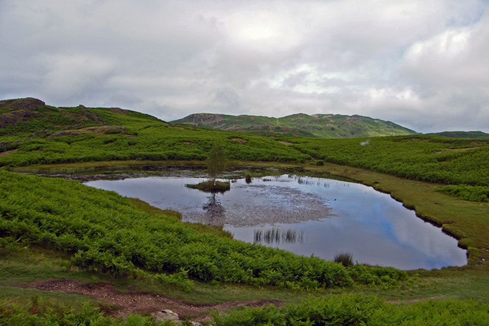
Lily Tarn
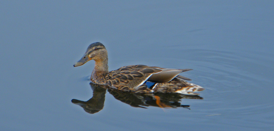
We could only see a single occupant on the tarn but there were probably more
On our way up Loughrigg now. The path on the left is the bridleway from Miller Bridge to Loughrigg Tarn
The clouds started to break and rise about this time giving a view of Yoke between the slopes of Red Screes and Wansfell
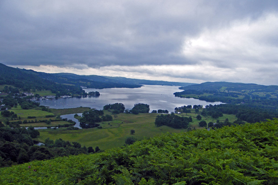
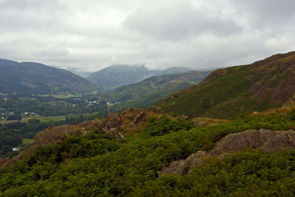
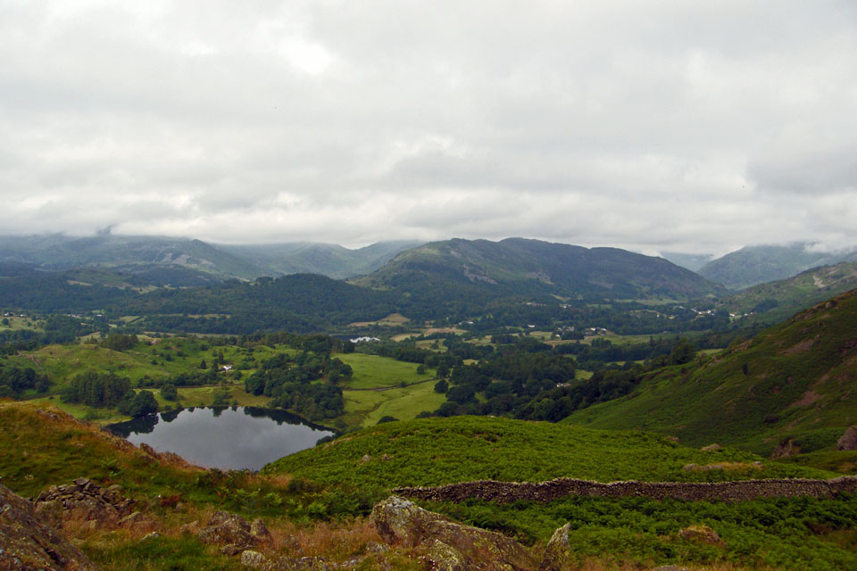
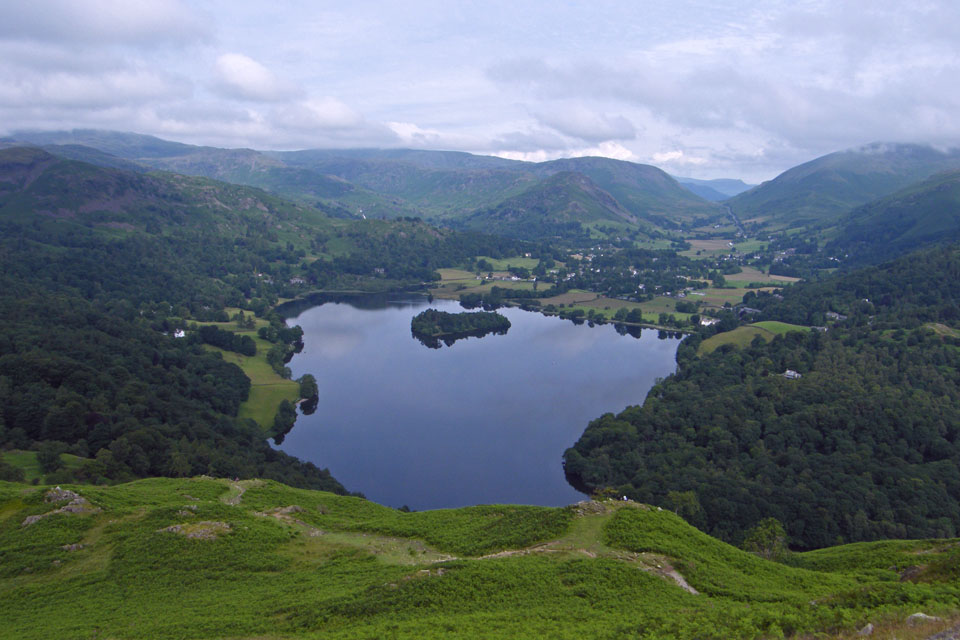
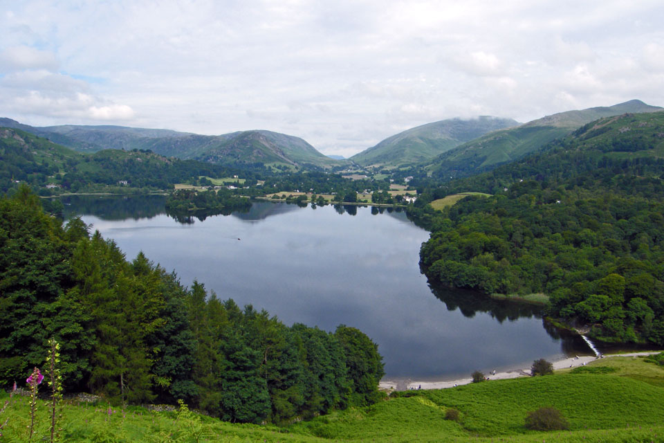
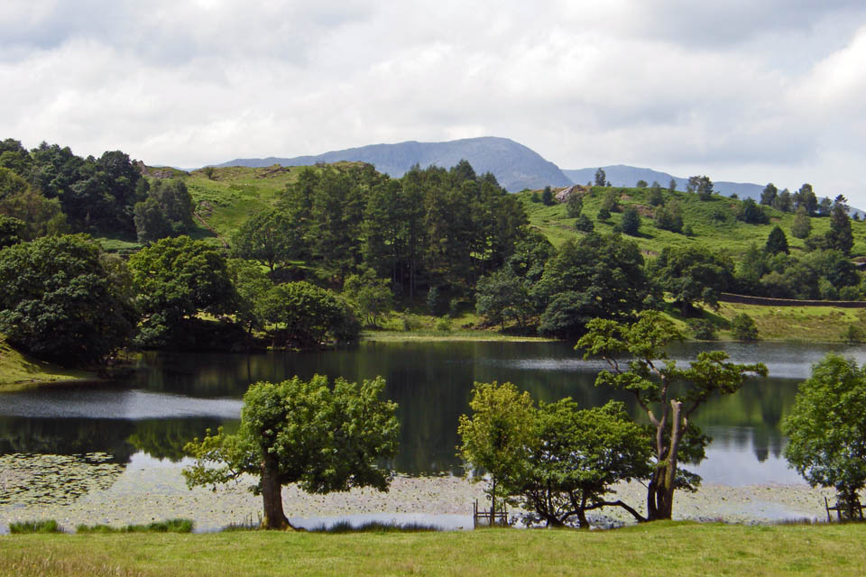
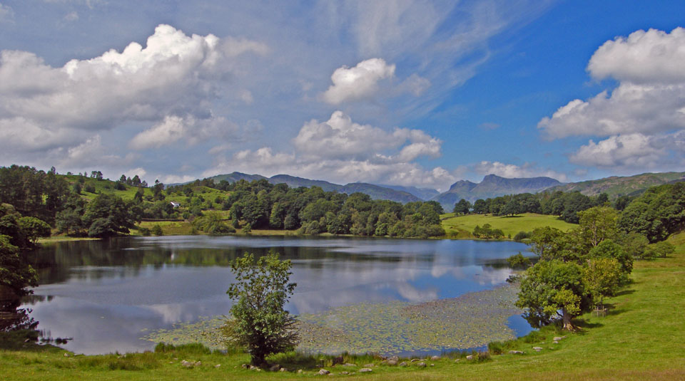
We are now at the viewpoint for Loughrigg Tarn which can be seen at the bottom. The cloud as cleared Lingmoor but as only just cleared the "v" of the Wrynose Pass to the left
The Langdale Pikes are still cloud topped
As are the Coniston Fells
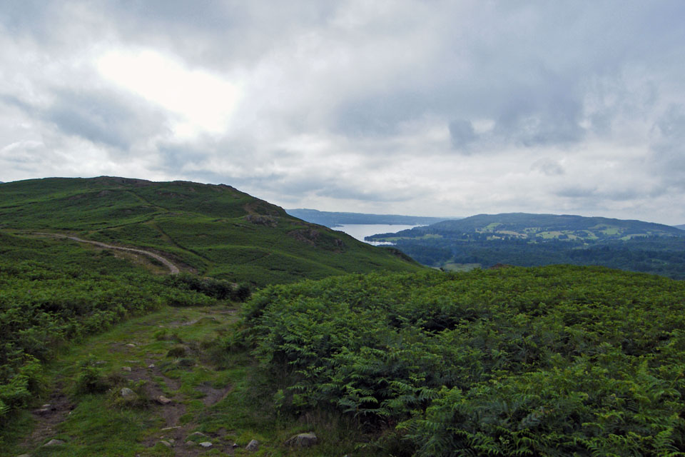
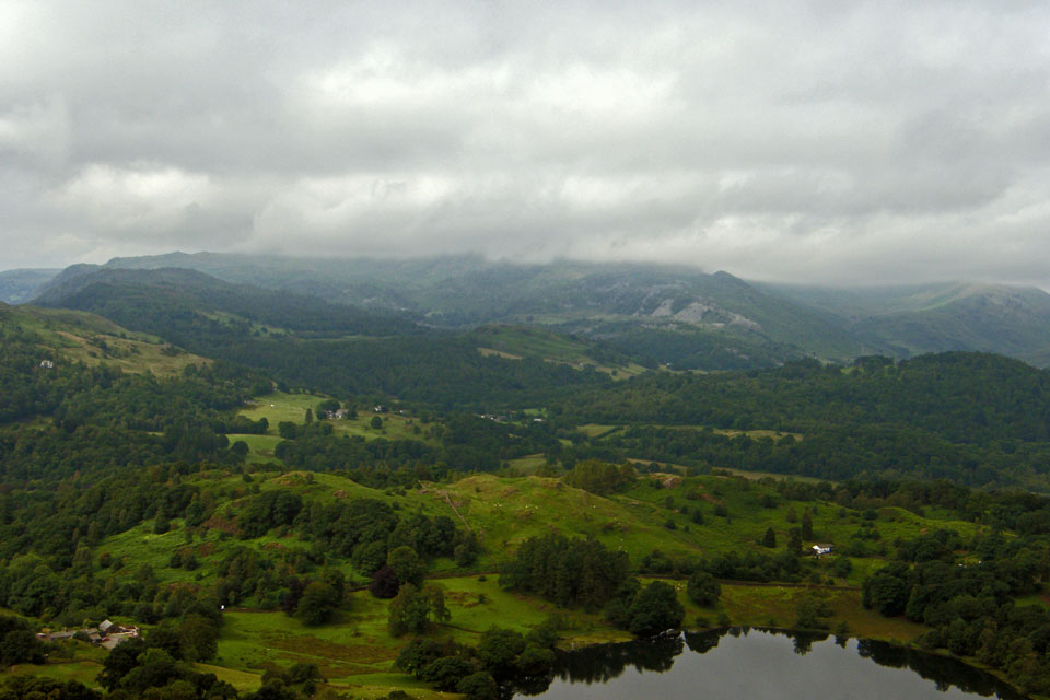
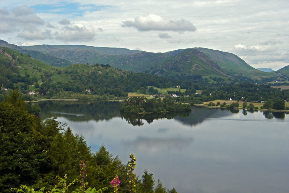
Windermere from the viewpoint
Only up there now....
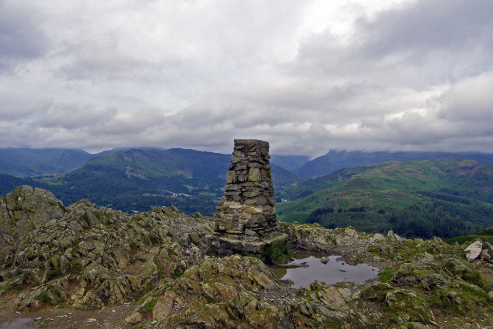
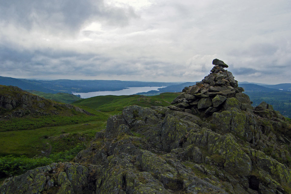
Loughrigg summit......50 times and always different. In AW's words...."Of the lesser heights of Lakeland , Loughrigg Fell is pre-eminent"
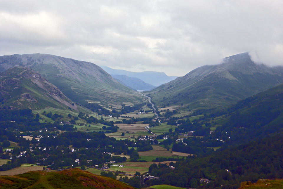
A big close up of Dunmail Raise. You can just see the water level in Thirlmere.

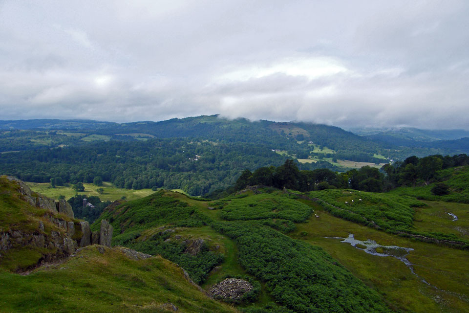
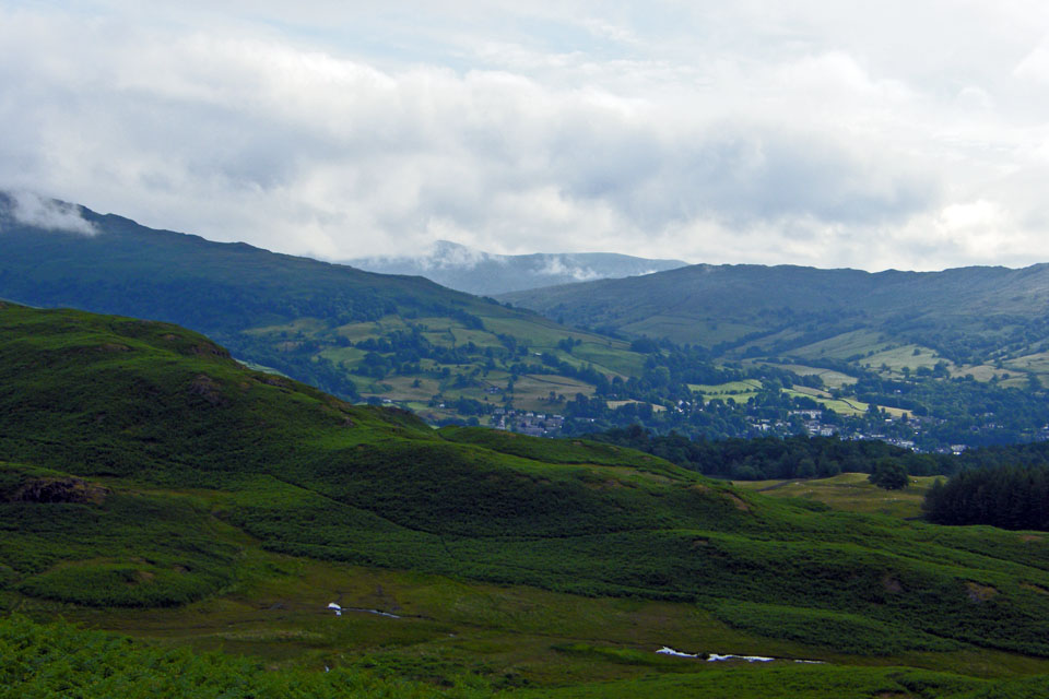
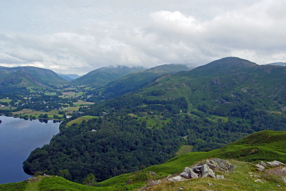
A look back along our route
Looking towards Silver How
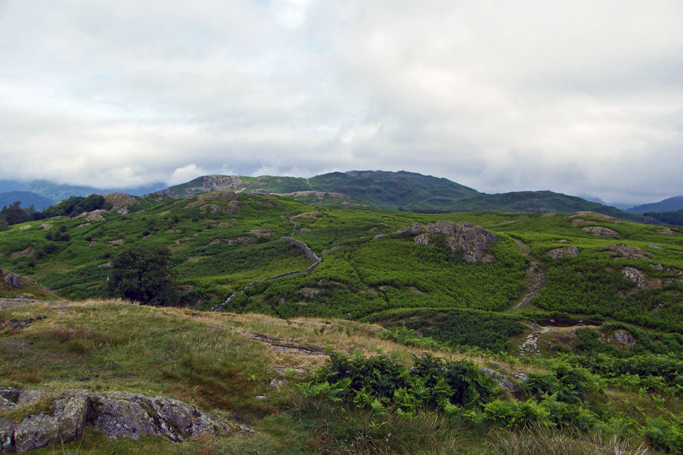
Starting the descent
I hadn't given too much thought to our return route but now it was decision time. We had the choice of the Loughrigg Terrace seen here or via Loughrigg Tarn. As the day was brightening by the minute I plumped for Loughrigg Tarn hoping to get some views of the Langdale Pikes.
Pleased to say i got it right for a change.... The Langdale Pikes over Oaks
The How near Loughrigg Tarn
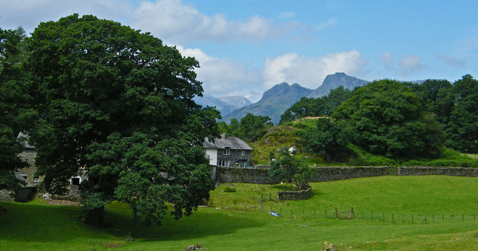
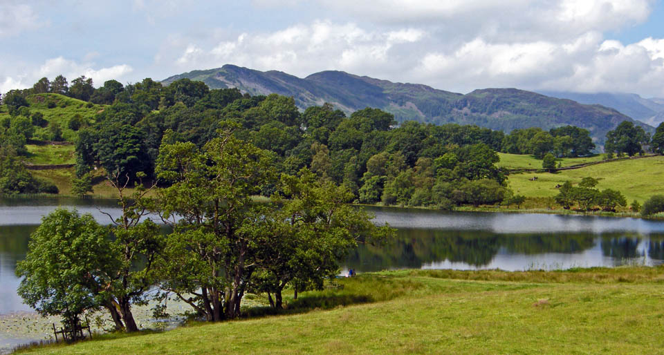
Wetherlam over Loughrigg Tarn
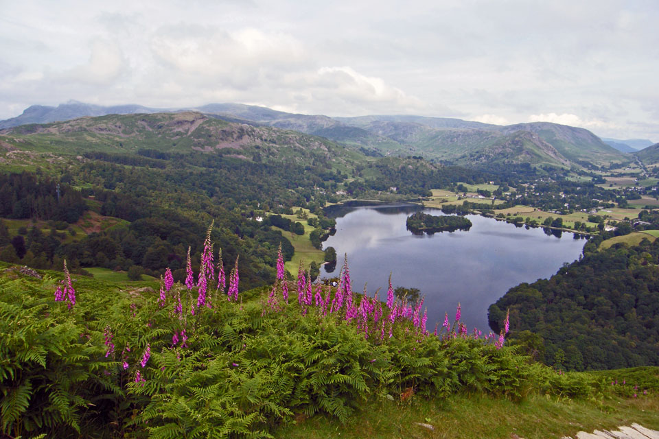
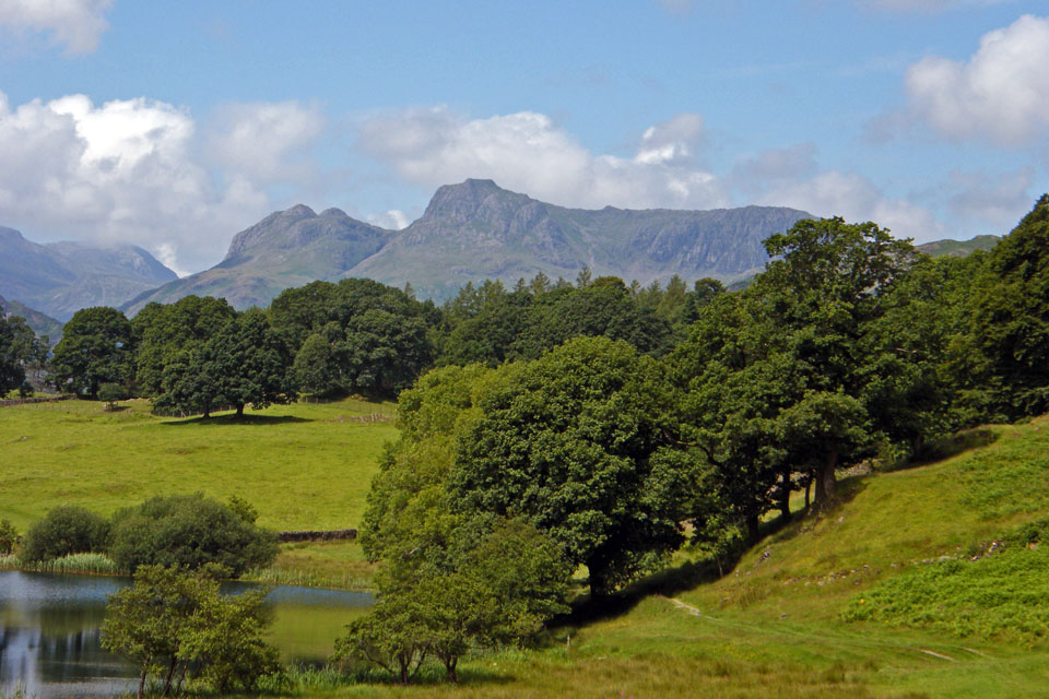
Lingmoor over the tarn
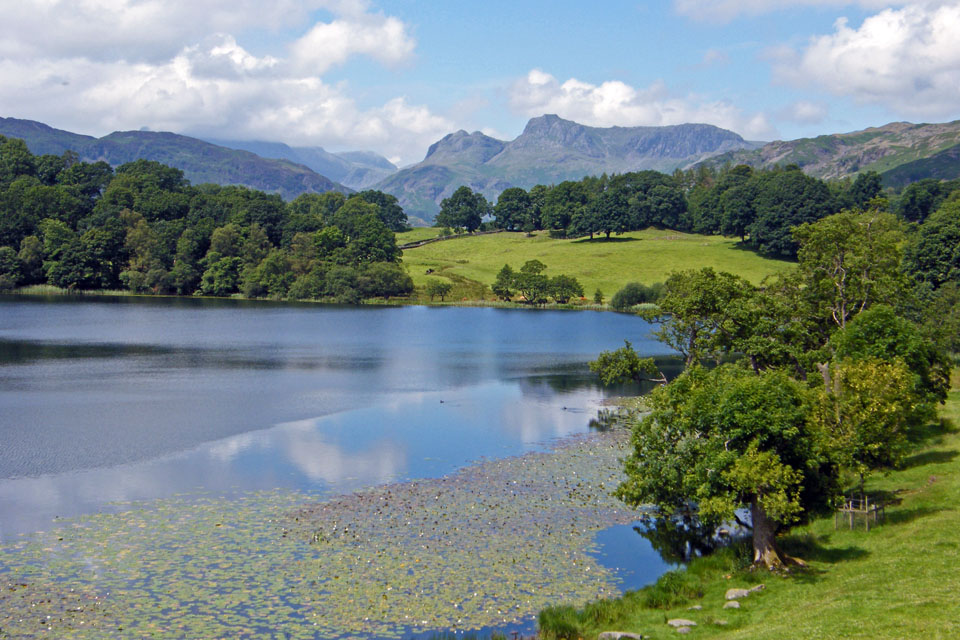
The familar sight of the Langdales
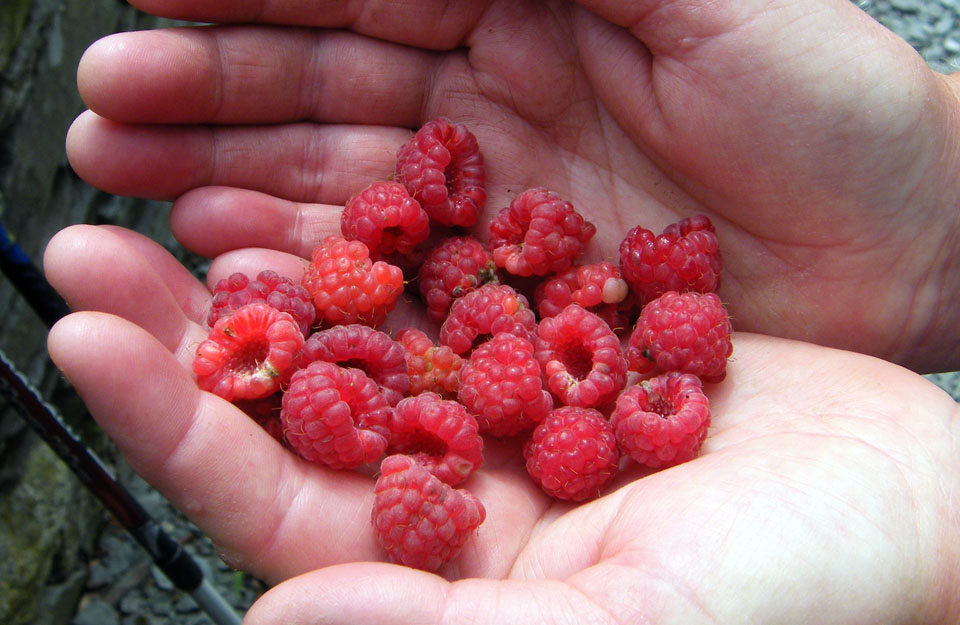
Yummy.....wild raspberries for desert
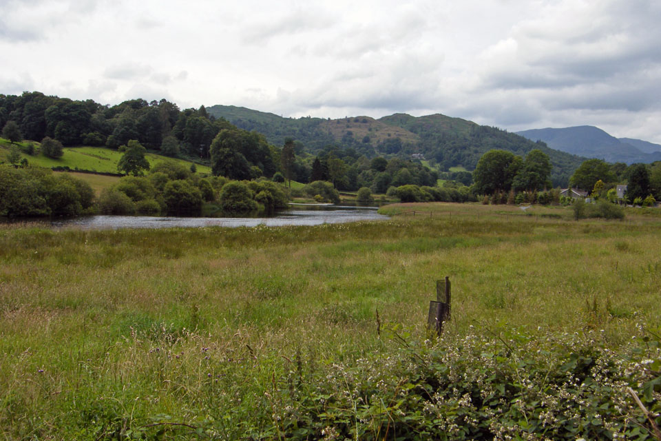
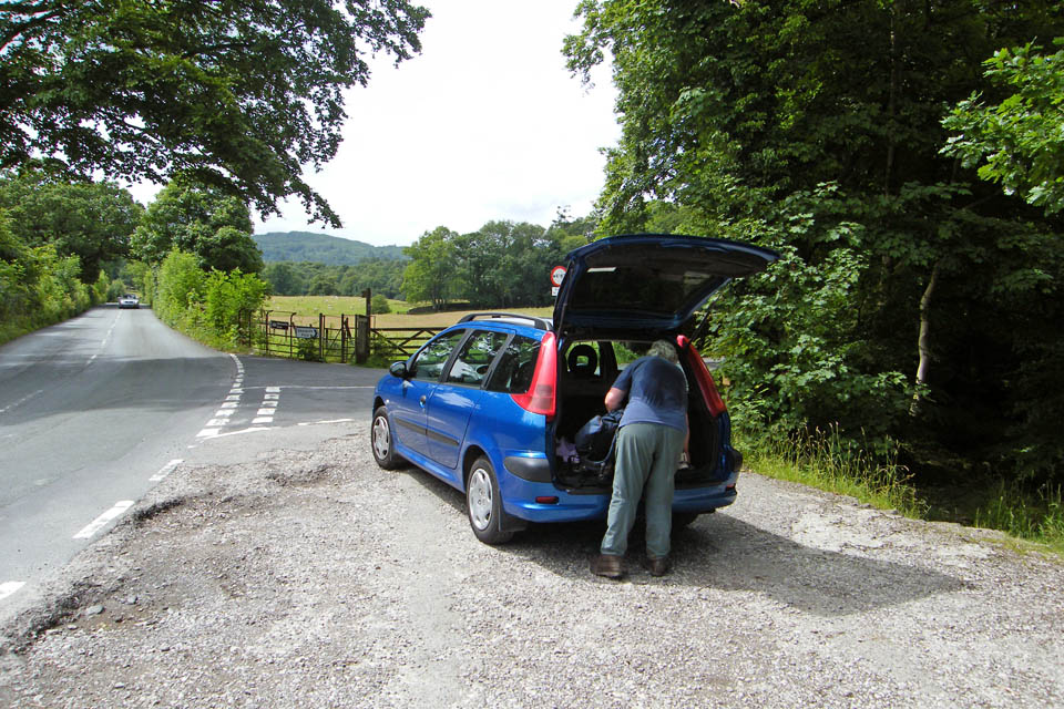
On the way back to the car
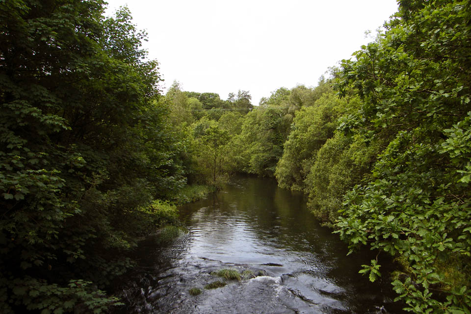
Bridge over the River Brathay
And finally.....Back to the car.....a stop at Hawkshead on the way home for a cuppa and cake
Next Walk: 13th July 2008 -- Silver How from Elterwater
Last Walk: 8th July 2008 -- Arnside Knott from Arnside
We hope you have enjoyed viewing this walk. If you have any comments please sign our Guestbook or E_Mail us
