| Area: | Arnside & Silverdale | Ascent: | 948 feet |
| Walk No: | 210 | Time: | 3hours |
| Date: | 23rd September 2008 | Parking: | Roadside at Arnside |
| Distance: | 6.75 miles | Weather: | Fine with unbroken sunshine |
| Route: |
Arnside - New Barns - Far Arnside - Arnside Knott - Arnside |
For those of you that are thinking of going onto the hills I would strongly recommend that you read the advice given by the Mountain Rescue organisation of England and Wales. To read this advice, which will open in a new page please click HERE. If you would like to make a donation to the Mountain Rescue organisation which is purely voluntary please click HERE. Please make the time to read the advice page.
Edith was at her brothers for the day and I had yet another doctors appointment in the early afternoon so it was an early start that took me to the Arnside & Silverdale AONB for this short walk.
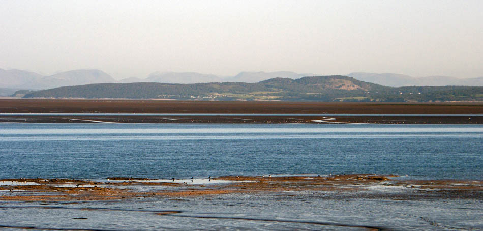
Arnside Knott from the east promenade at Morecambe. Arnside is on the other side of the Knott on the Kent estuary.
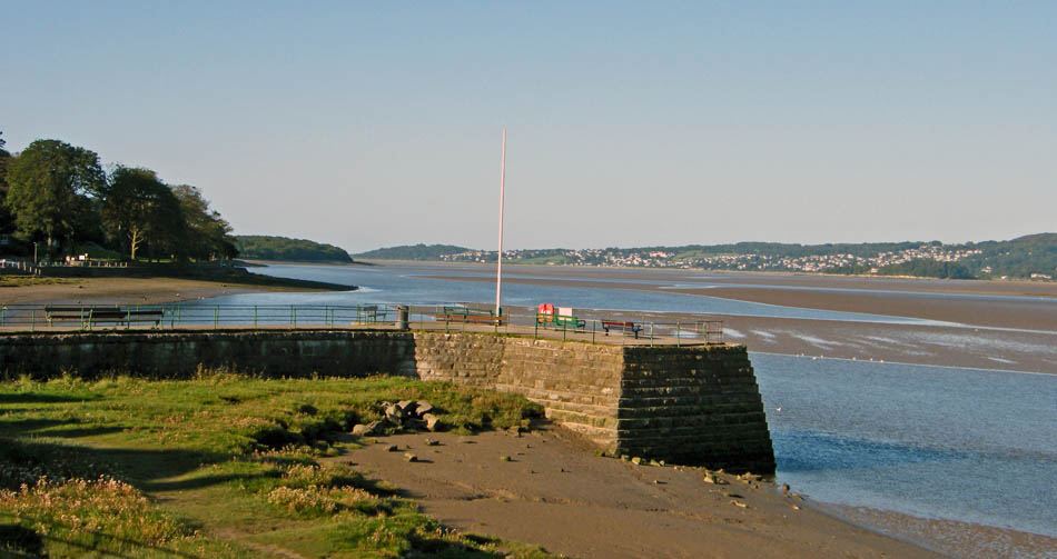
Early morning at Arnside
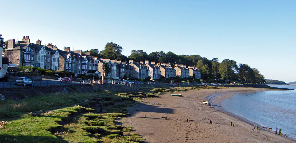
My walk would take me along the shore to New Barns
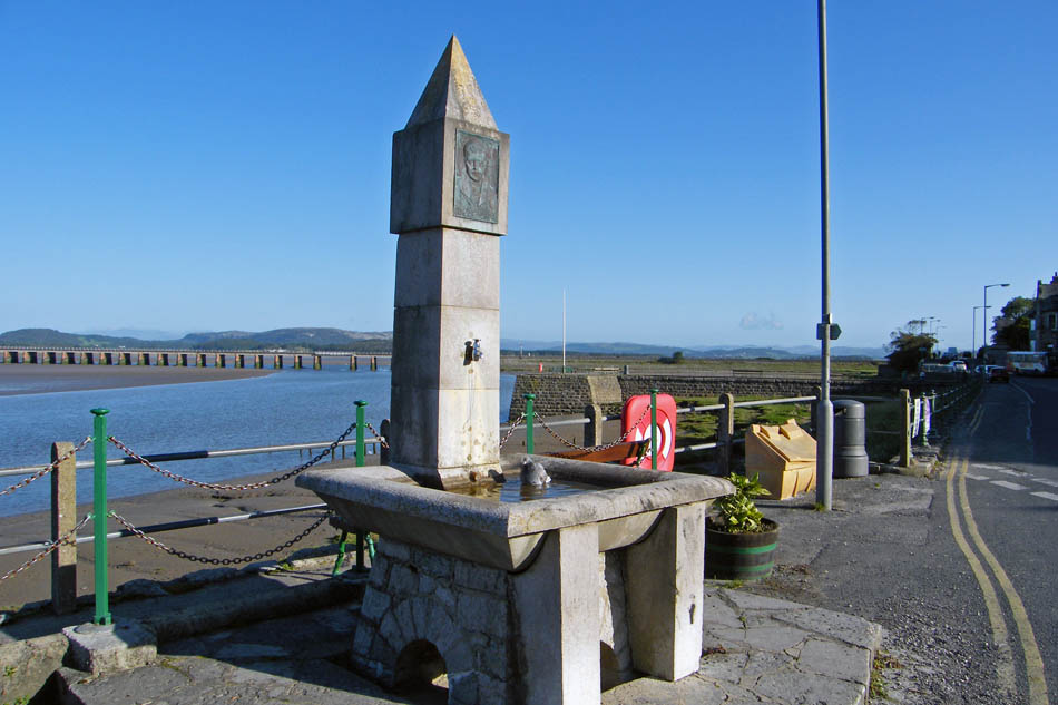
A pigeon as an early morning bath in the fountain
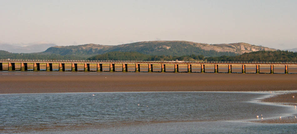
Whitbarrow behind the railway viaduct
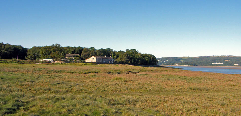
New Barns. My route would continue around the shoreline past Blackstone Point and Arnside Point to Park Point
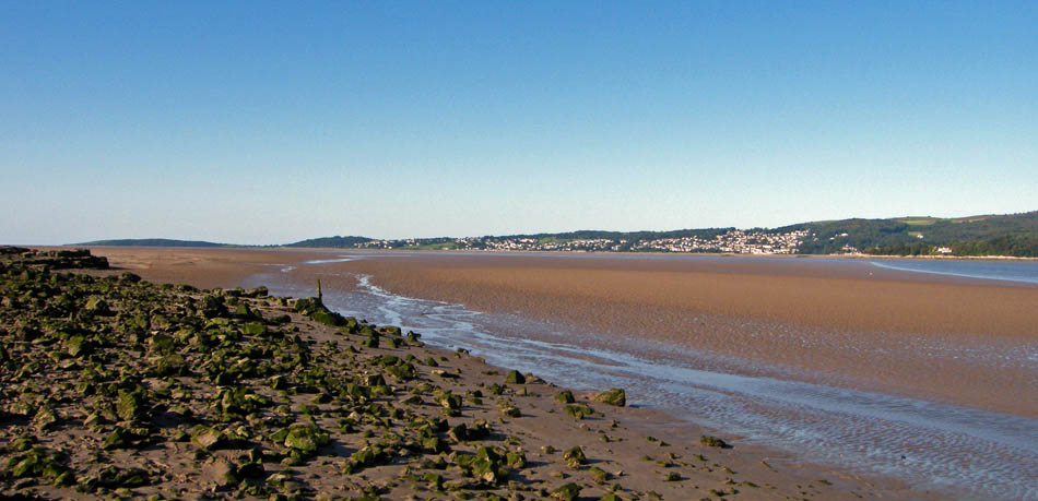
Approaching Blackstone Point with the low headland of Humphrey Head in the distance.
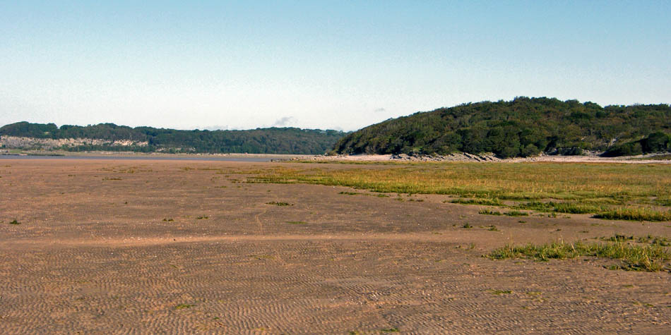
Looking back to Blackstone Point as I walk over the sands to Arnside Point
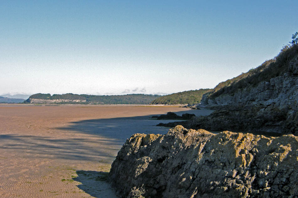
There are a number of ways back up to the cliff-top path but I carried on to Park Point. This is looking back along my route .
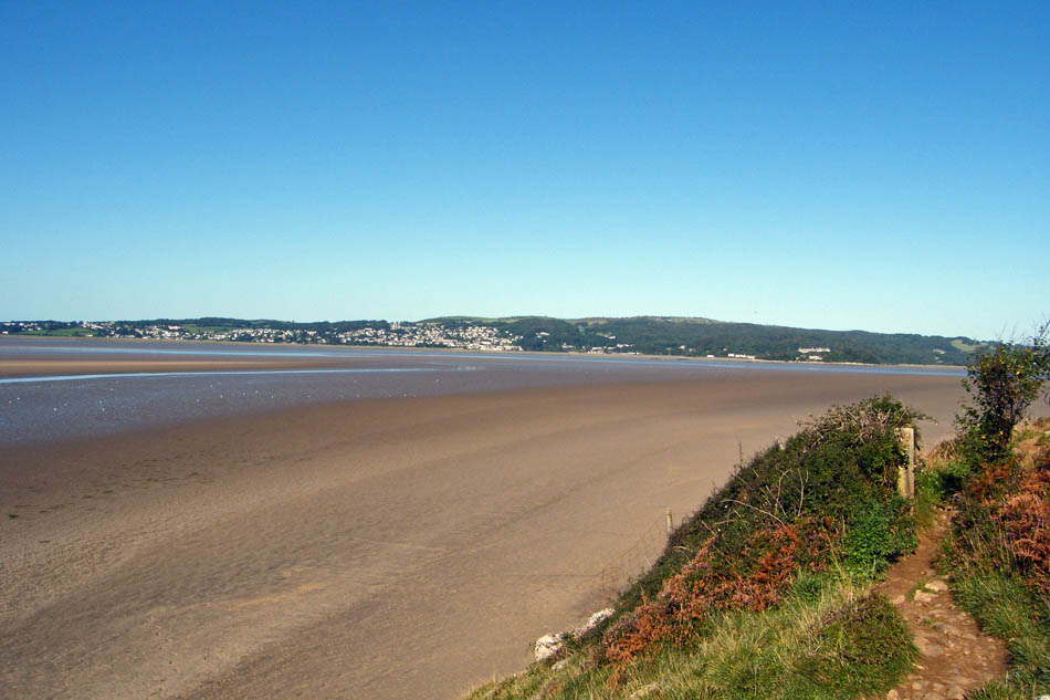
At Park Point it was an easy little climb up the limestone to reach the clifftop path.
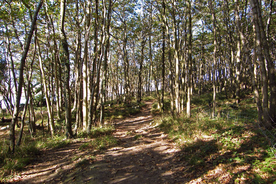
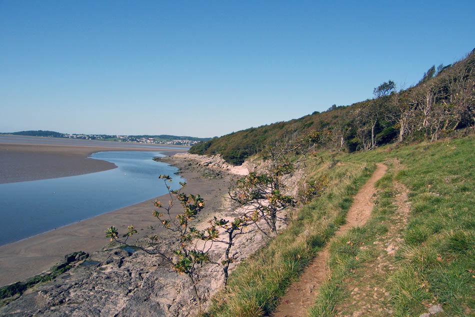
Following the path towards Far Arnside
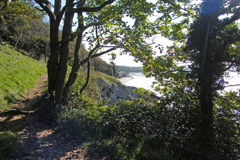
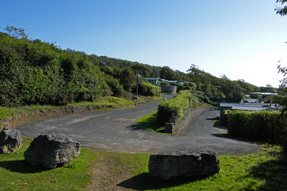
At Far Arnside just follow the path straight through the caravan park
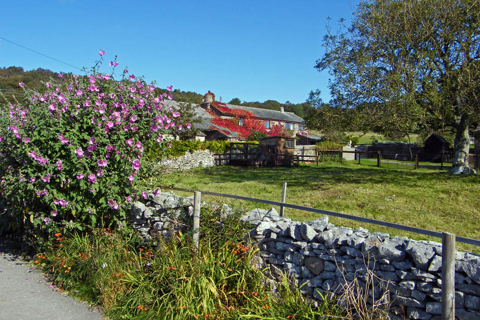
And then across the fields to Hollins Farm
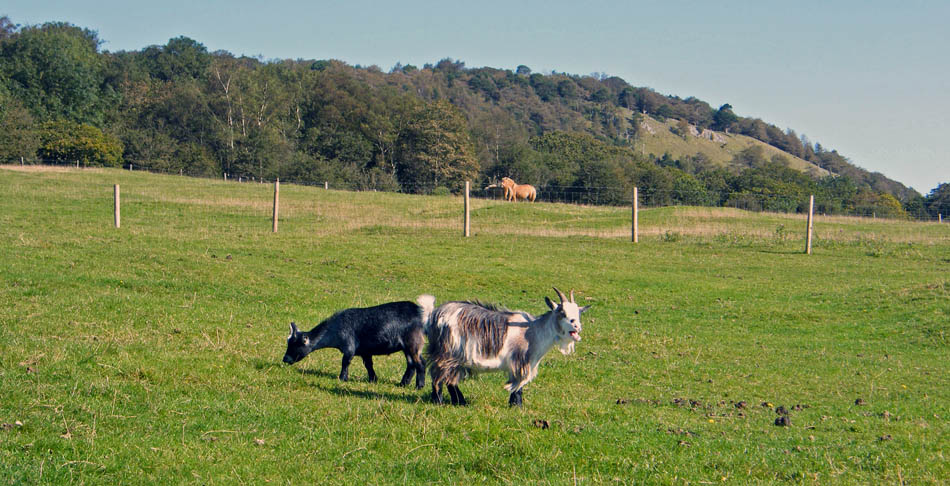
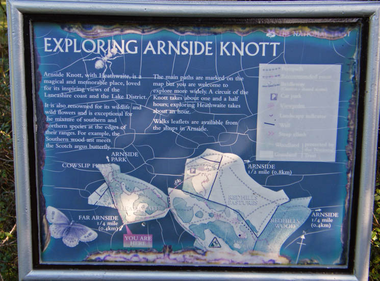
At the farm I entered Heathwaite which would take me to the Knott
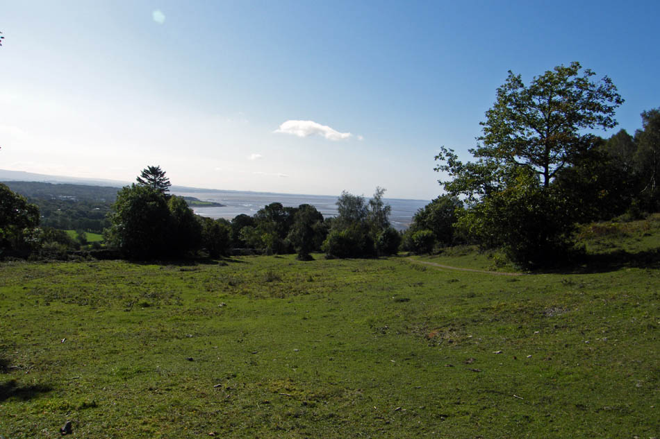
A look back to Morecambe Bay and home as I walk up the gentle slopes of Heathwaite.
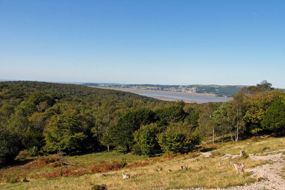
Having left Heathwaite I took one of the paths up the Knott.
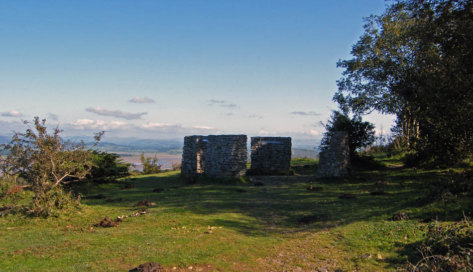
This shown as a viewpoint on the OS map
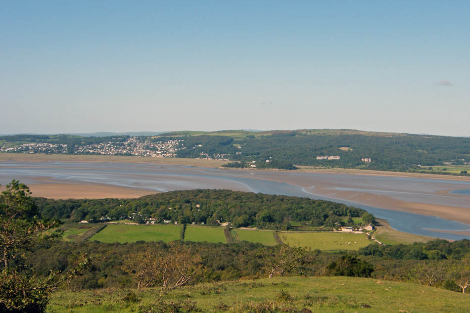
Looking over New Barns and the Kent estuary to Grange and Hampsfell. The summit of Black Combe can just be seen behind Hampsfell in the centre.
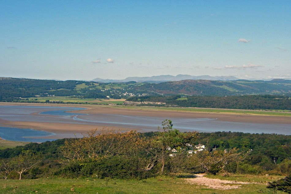
The Consiton Fells over Newton Fell
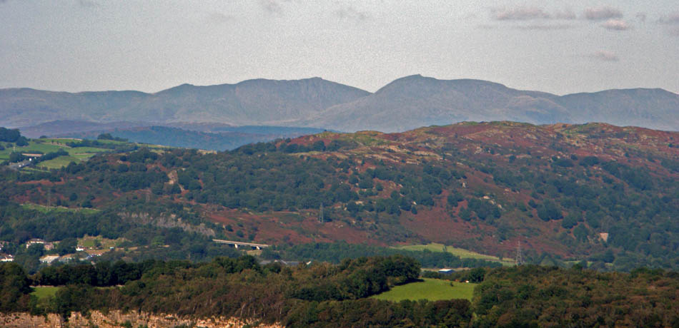
And at 18X Zoom
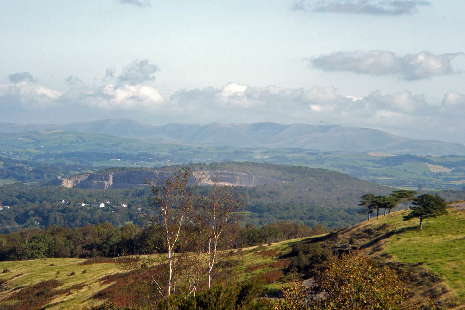
The Howgill Fells over the quarry at Sandside
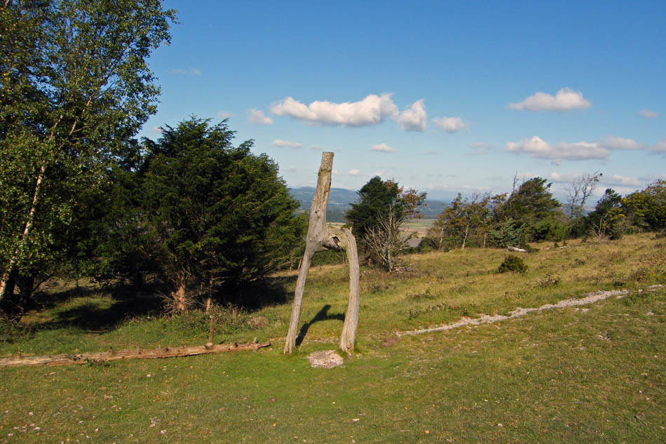
The Lovers Tree
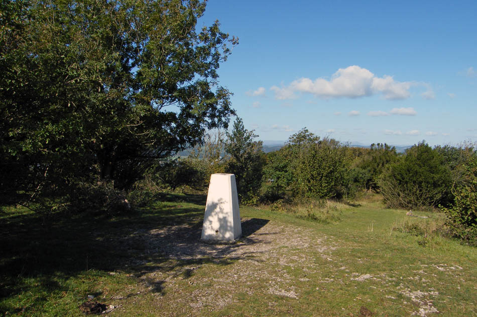
Arnside Knott summit
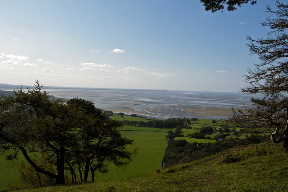
A walk over to the eastern screes gives this view down the bay.
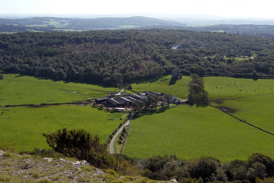
Looking down on Arnside Tower and the farm
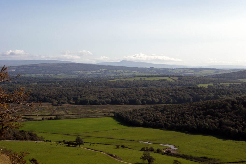
Ingleborough to the eastwards
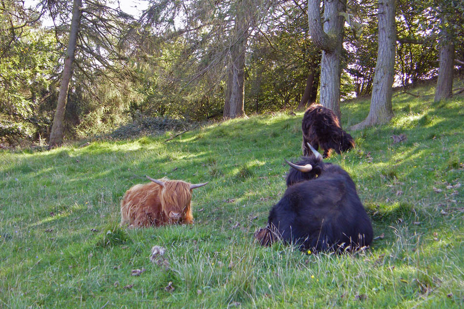
These locals were finding some shade as I descended Red Hills.
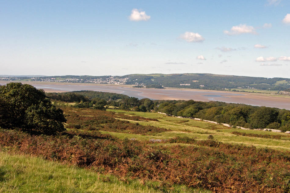
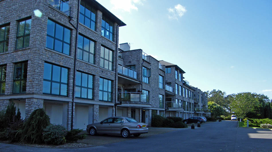
How times change. This building was formerly owned by the National Union of Mineworkers when we had a mining industry and used as a convalescent home. Now it is private apartments at prices this fella can only dream about.
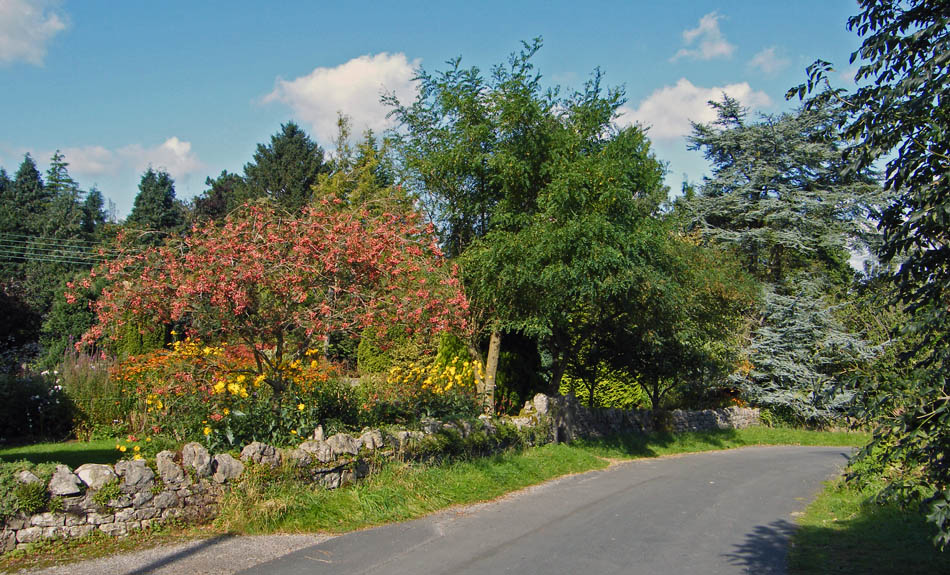
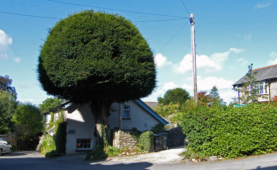
At this point I went down the lane to the left to return to the brach
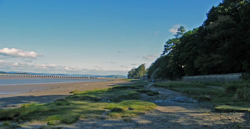
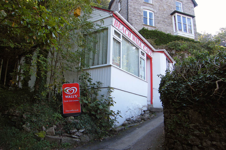
It's Tuesday and Barry will be having a well deserved rest.
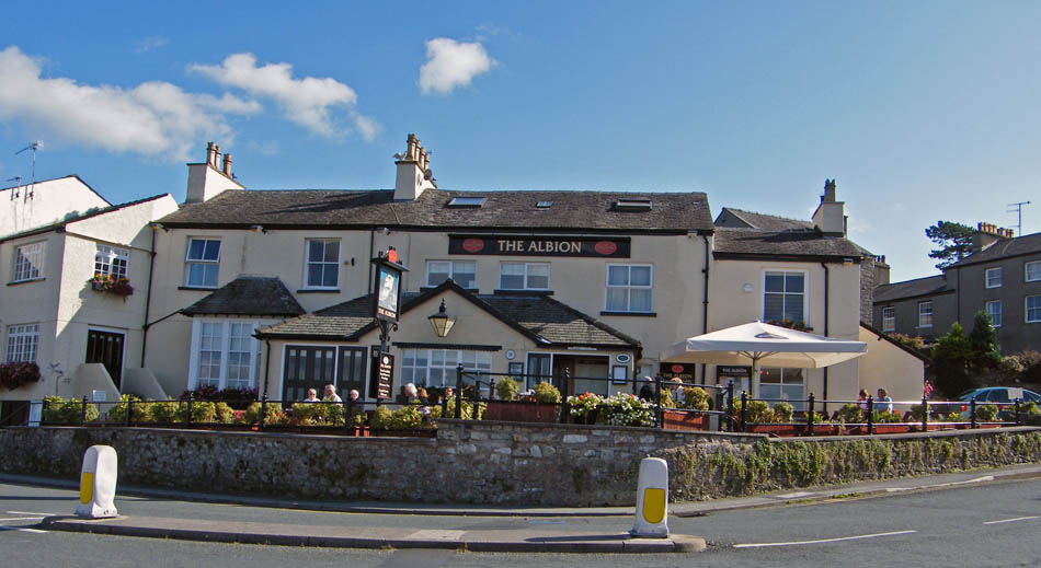
Hmmmm............Tempting but resisted
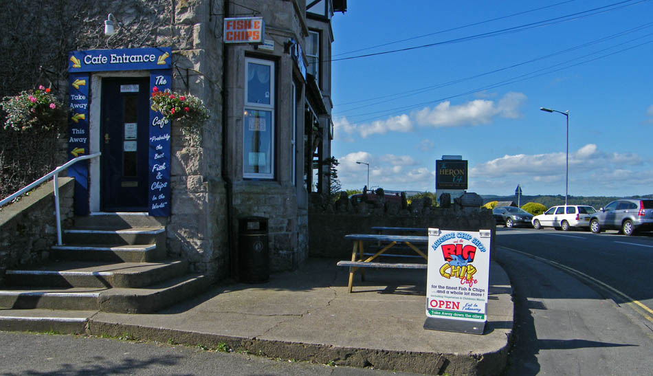
Hmmm......even more tempting
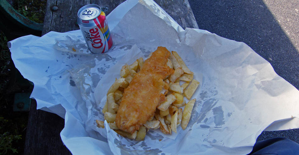
Well I did tell Edith I'd sort my dinner out. Back to the beach for lunch.
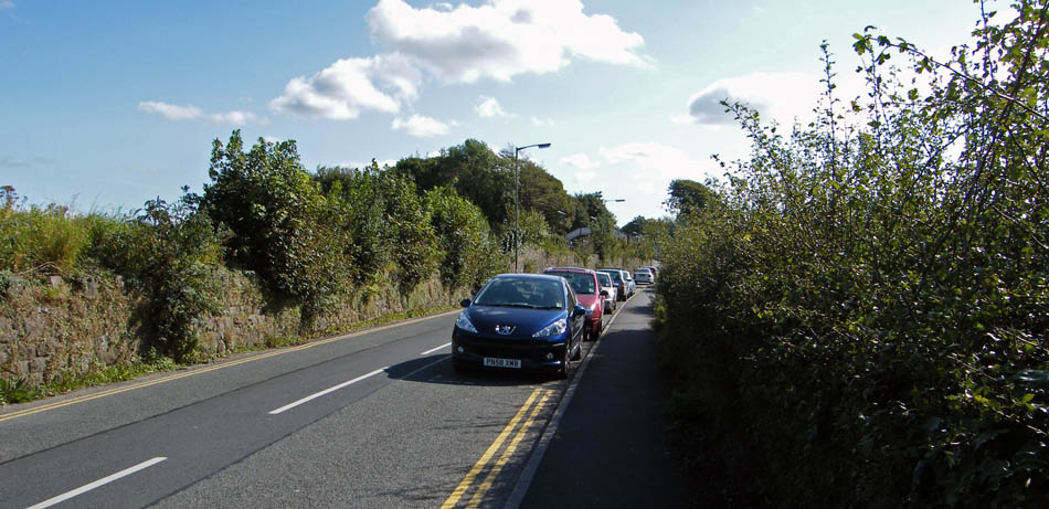
And finally......back to the car.
Next Walk: 25th September 2008 -- Lake District -- Upper Kentmere with Ewa
Last Walk: 21st September 2008 -- Whitabrrow from Raven's Lodge
We hope you have enjoyed viewing this walk. If you have any comments please sign our Guestbook or E_Mail us