| Area: | Lake District (SW) | Ascent: | 1005 feet |
| Walk No: | 214 | Time: | 3hours 45mins |
| Date: | 5th October 2008 | Parking: | Roadside near Brown Howe CP (SD289910) |
| Distance: | 5.75 miles | Weather: | Fine & Sunny. |
| Route: | Car - Beacon Tarn - Beacon Fell - Stable harvey Moss - Mere Beck - Sunny Bank - Car |
For those of you that are thinking of going onto the hills I would strongly recommend that you read the advice given by the Mountain Rescue organisation of England and Wales. To read this advice, which will open in a new page please click HERE. If you would like to make a donation to the Mountain Rescue organisation which is purely voluntary please click HERE. Please make the time to read the advice page.
On an abslutely gorgeous morning we decided once again to visit Beacon Tarn and Fell which would now be carpeted in a coat of golden bracken. I wasn't feeling to bright, a tightness across my chest which I wasn't sure was due to the Methotrexate medication or just a bug. Anyway it didn't bother me too much on this simple walk.
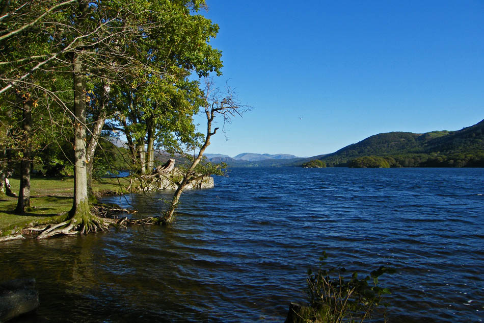
A look along Coniston Water from Brown Howe picnic site. We parked at roadside just across from here.
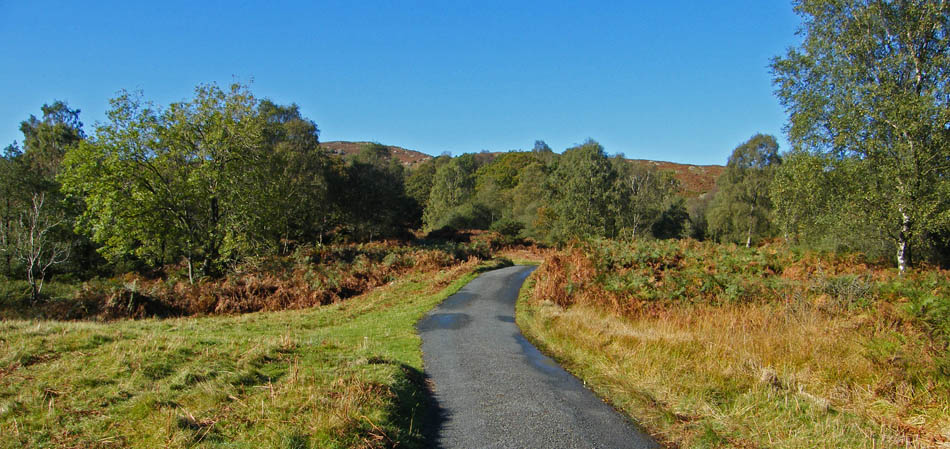
Walking up the lane towards Stable Harvey.
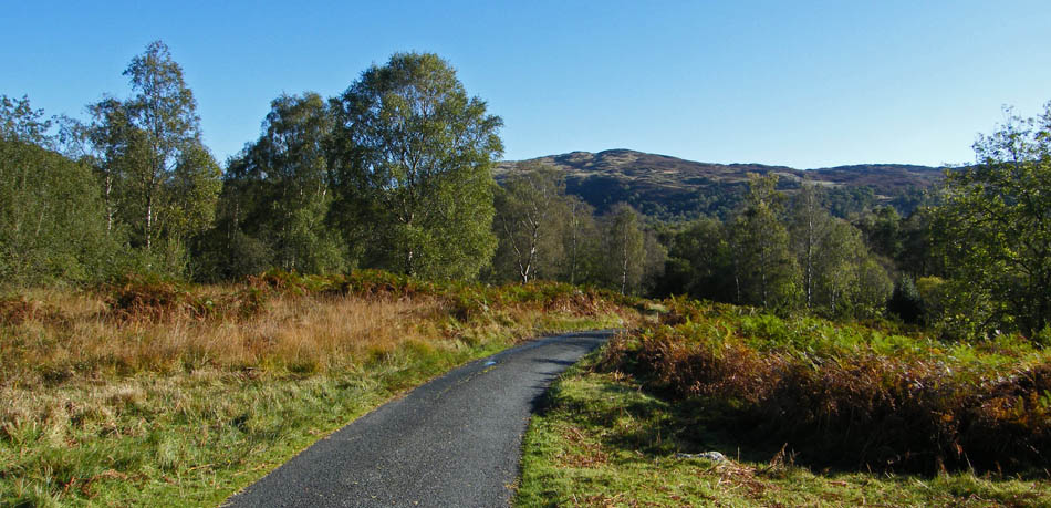
A look back towards Selside
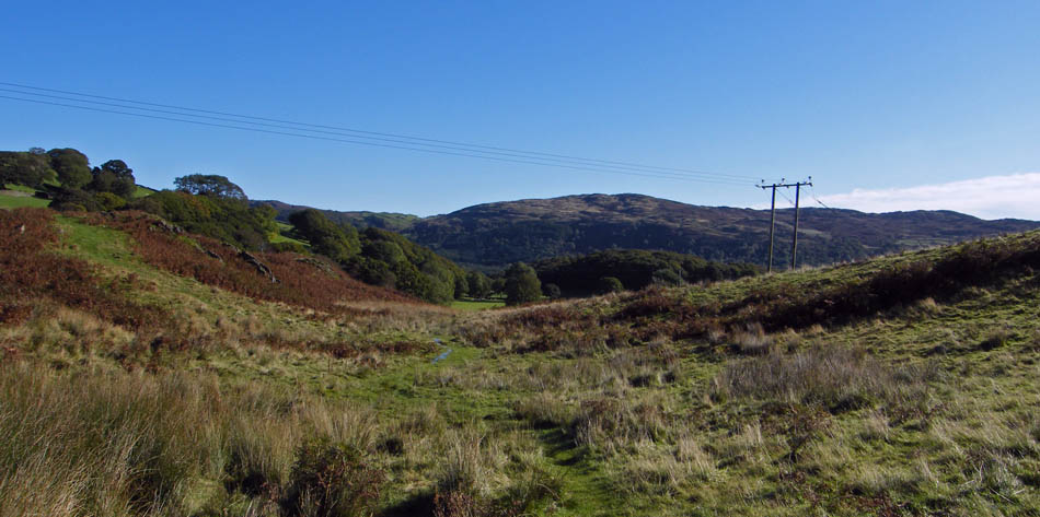
Wainwrights route, and the one we normally take turns uphill here. Today however this would be our return route as we carried on to join the Cumbria Way to Beacon Tarn.
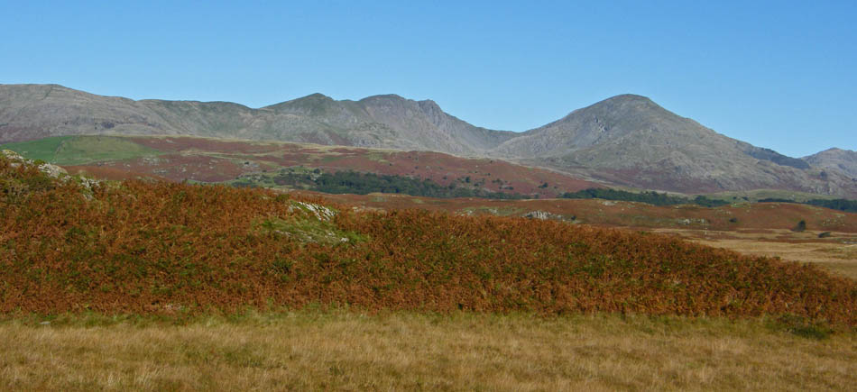
As we slowly gained height the Coniston Fells appeared over Torver Low Common
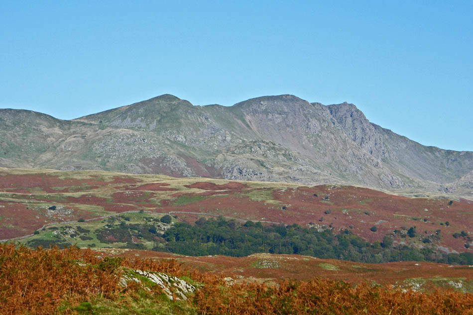
Brown Pike, Buck Pike and Dow Crag with the Walna Scar pass to the left and Goat's Hawse to the right.
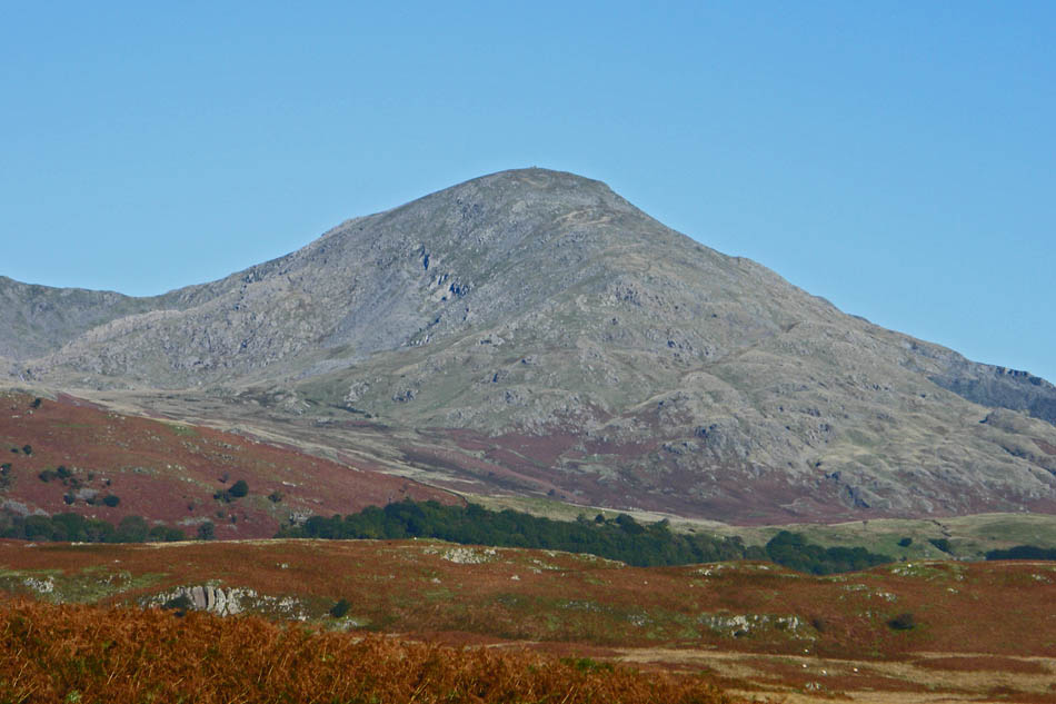
Coniston Old Man
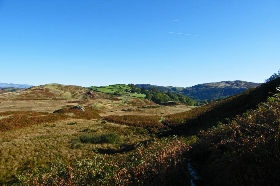
The path towards the tarn was very wet after heavy overnight rain but most of the worse parts were avoidable
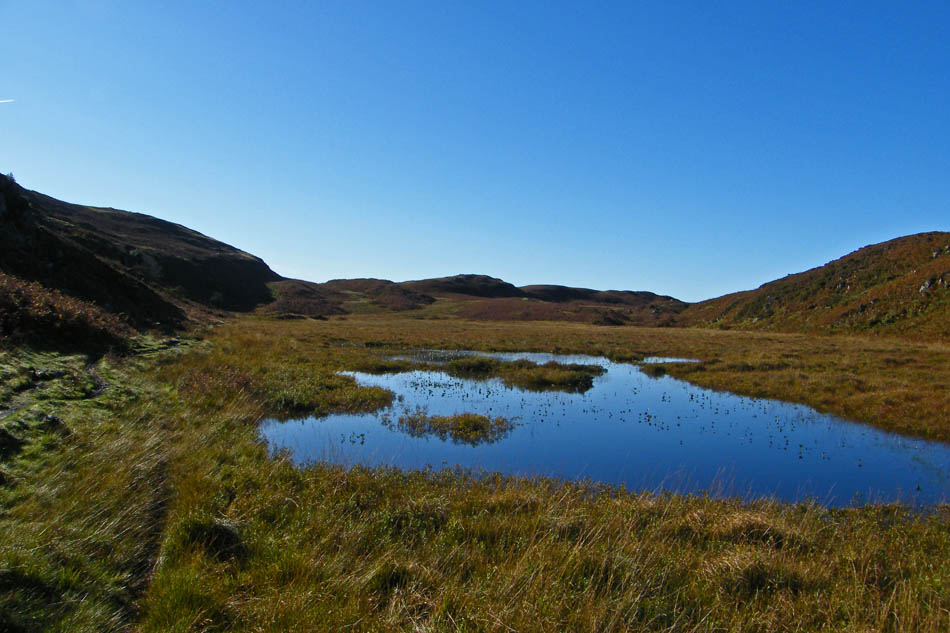
The unnamed tarn alongside our path which is to the left.
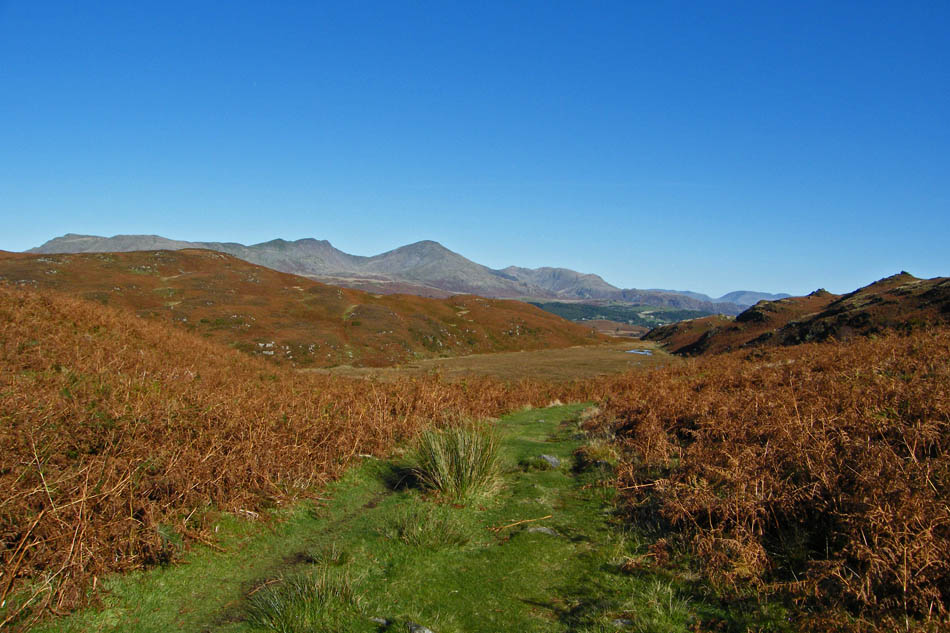
We are now at the top of the path looking back to the Conistons. The unnamed tarn is in the centre.
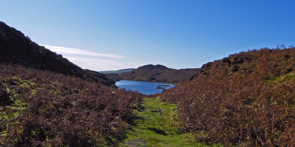
And looking the other way down to Beacon Tarn with Wool Knott at the far end.
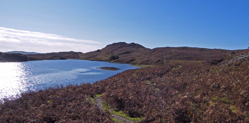
Our path now follows the tarn edge to the outlet at the far end.
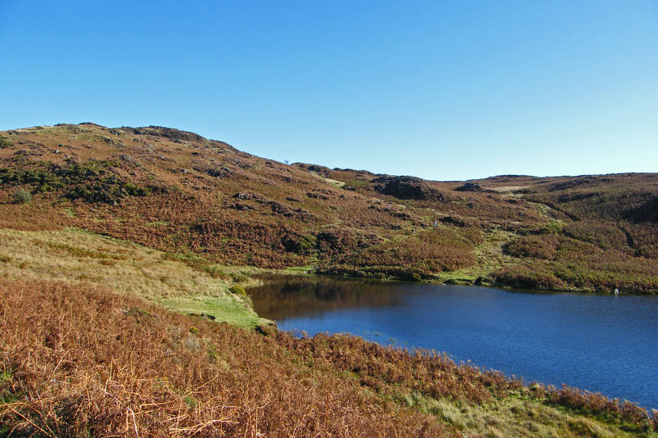
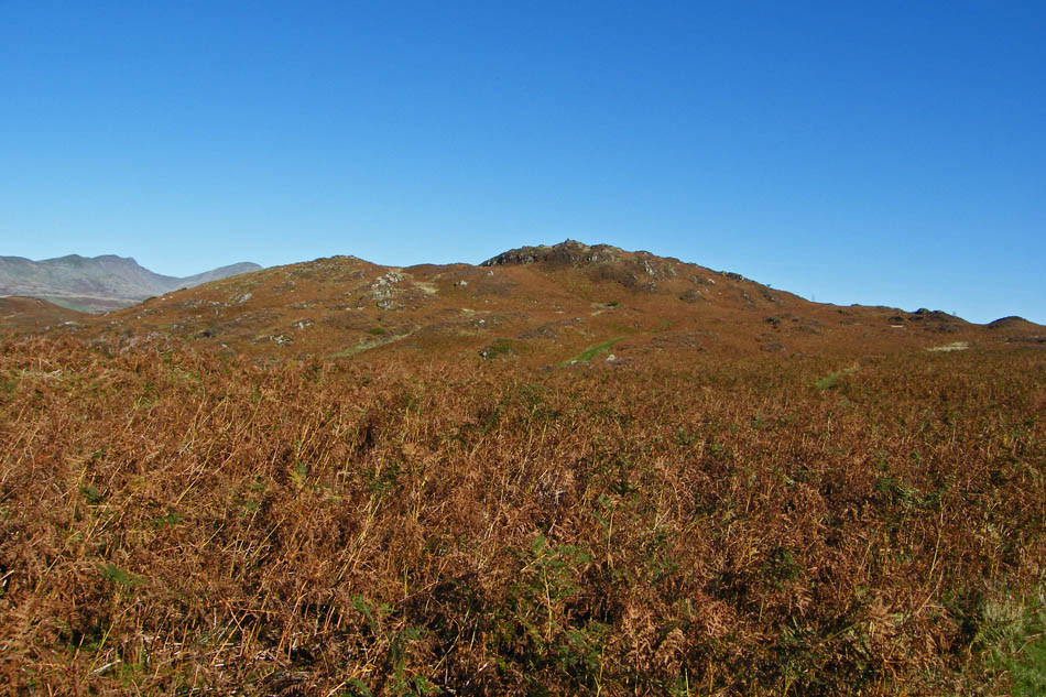
Looking over to Beacon Fell. Look carefully and you pick out the figures of a young family who we later spoke to on the top. Afraid we never got their names but they were from the Wirral and a had a young daughter "Maddy" who was on the hills for the first time.
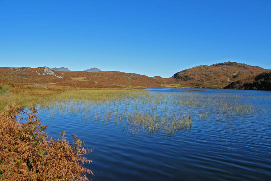
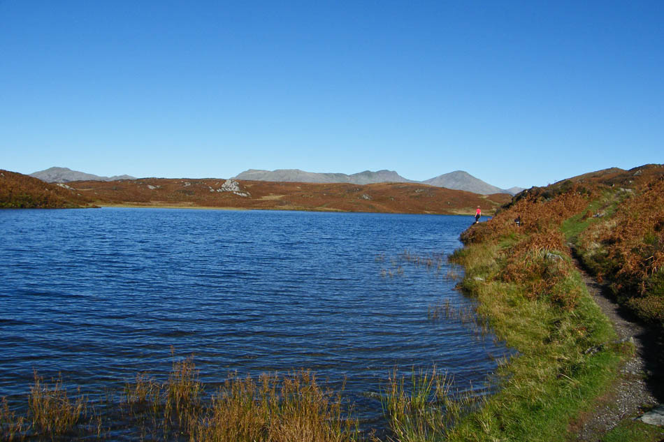
We have just crossed the outlet of the tarn now and getting ready for the short climb up Beacon Fell
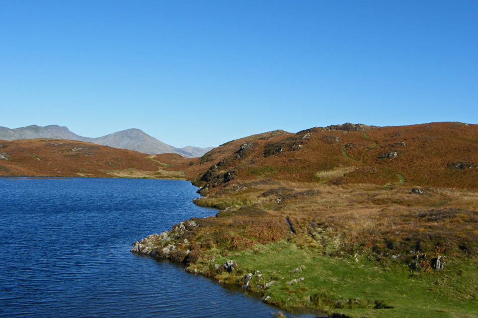
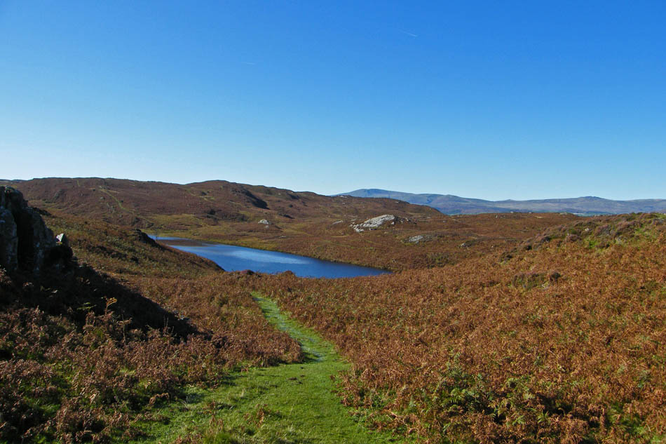
Looking back down to the tarn with Black Combe in the distance.
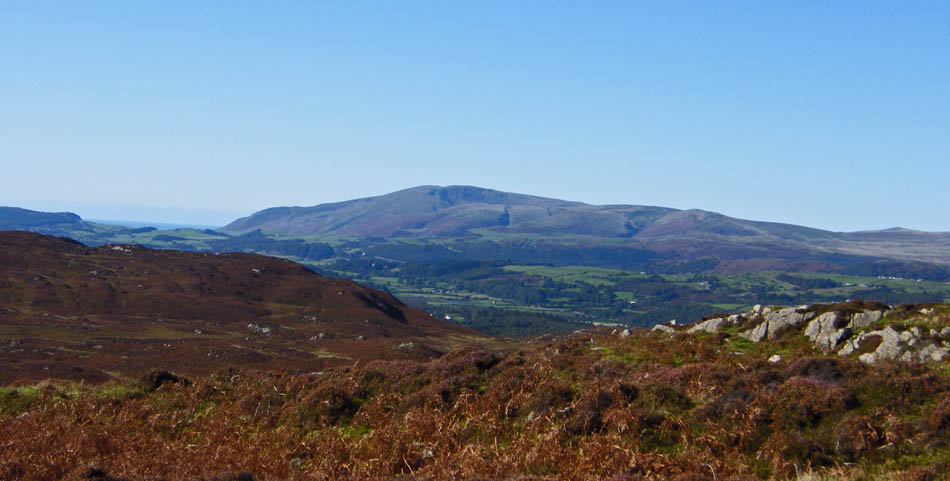
A close up of Black Combe from just below the summit
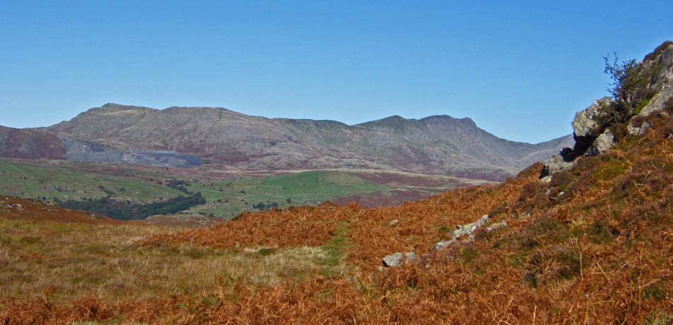
White Pike, White Maiden, Walna Scar, Brown Pike, Buck Pike and Dow Crag from the same spot.
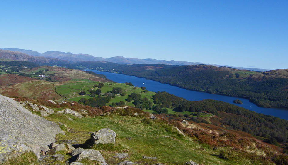
Coniston Water from the summit
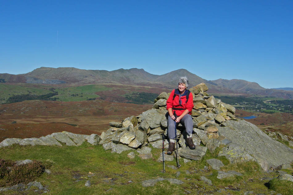
Sadly the "Treasure Chest" is missing again.
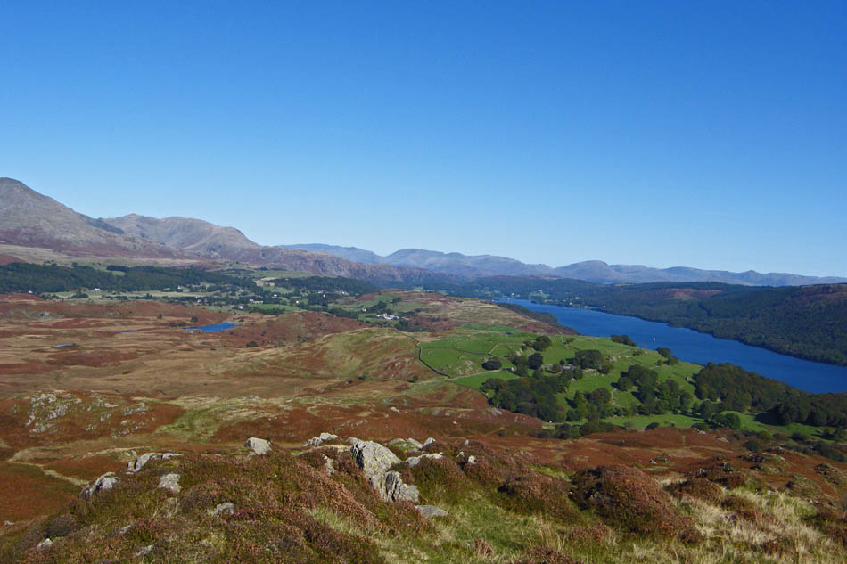
Our route would take us down to the area of centre picture from where we would take a path between the two little lumps to the left of centre namely Anne Riggs and Tottle Bank.
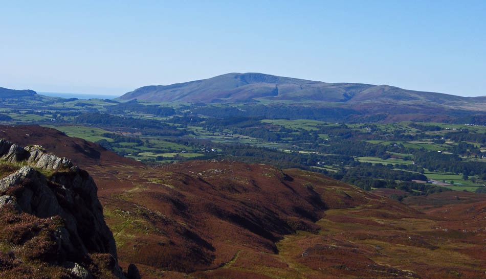
Black Combe from the summit
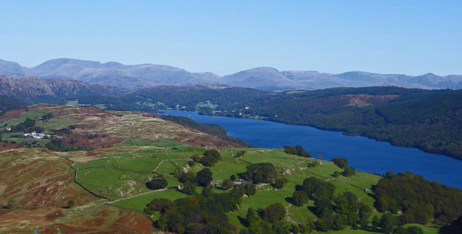
The Fairfield Fells, Red Screes and the High Street Fells from the summit
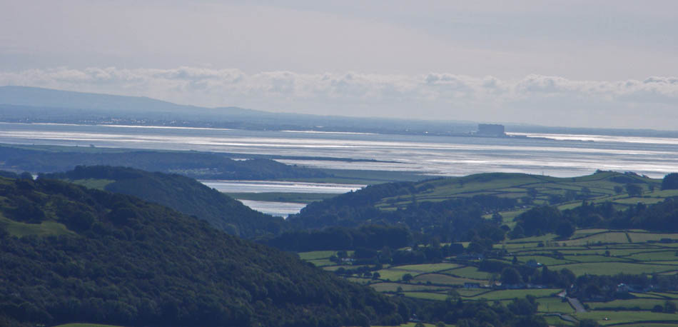
A close up of home
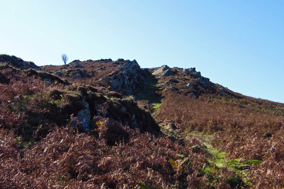
Looking back to AW's "rocky gully"
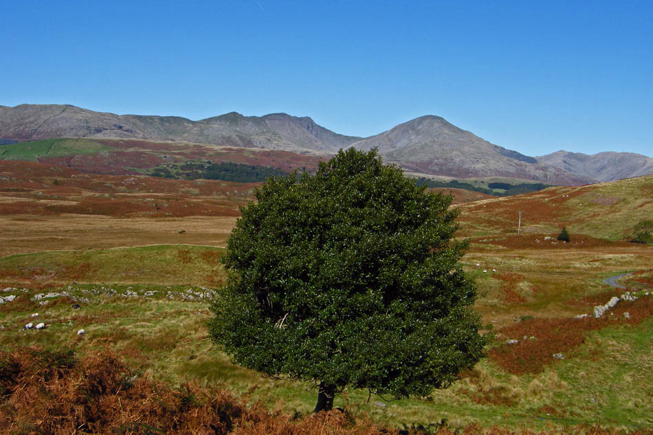
Using the holly tree to hide the overhead power cables that criss cross this area
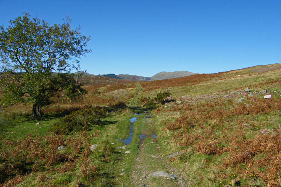
The path from Stable Harvey to Mere Beck.
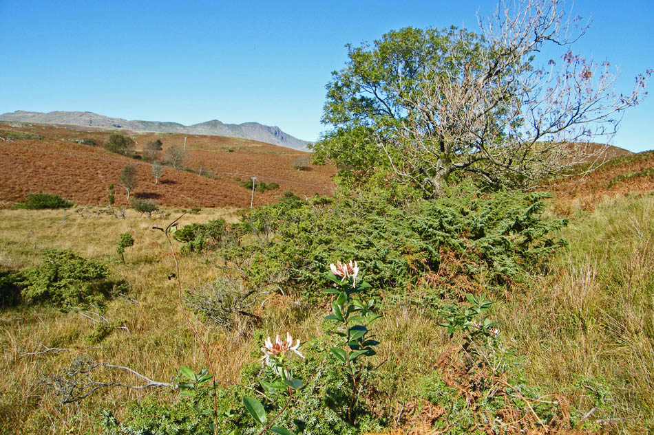
We have just started on the path down the south side of Mere Beck now. Surprisingly I can't remember ever walking this path before, always taking the better path of the Cumbria Way on the north side.
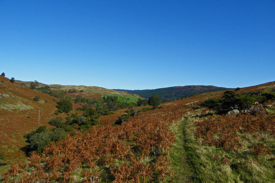
At first I thought we had made a mistake, the path was wet and faint, but soon a clear track appeared.
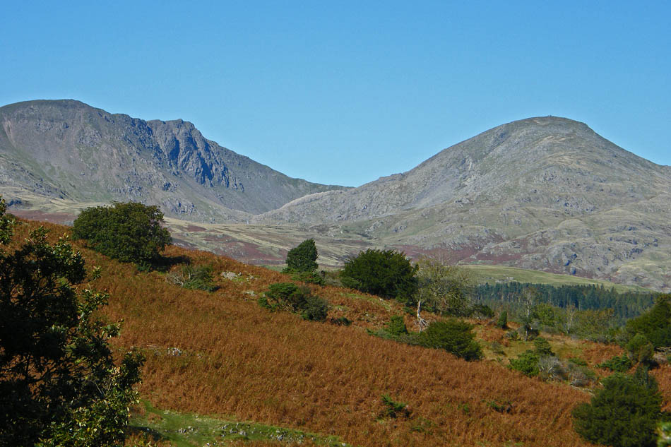
As we passed Anne Riggs we got the most gorgeous views of the Coniston Fells
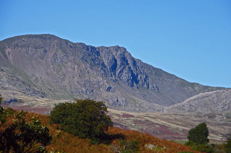
Dow Crag
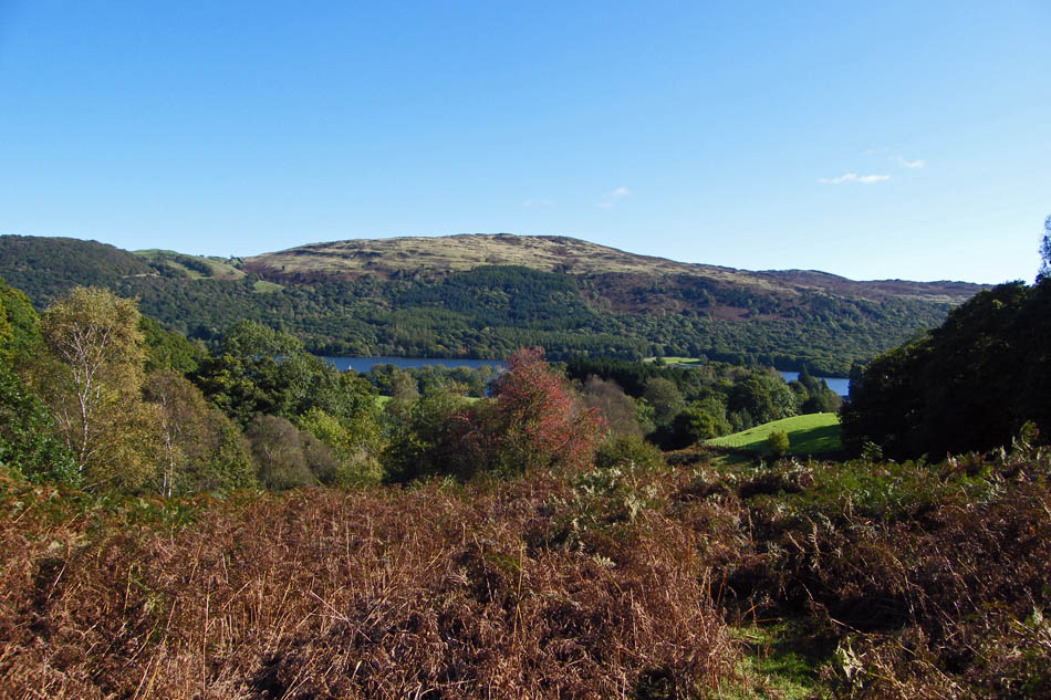
As the path swung southwards towards Sunny Bank Coniston Water and Selside came into view
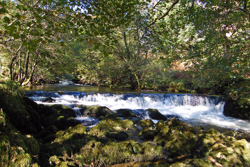
Mere Beck
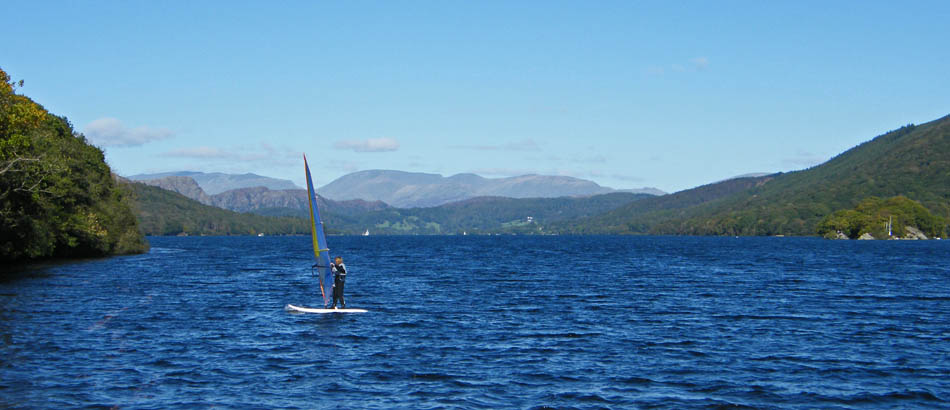
From Sunny Bank there was a short walk along the road back to the car.
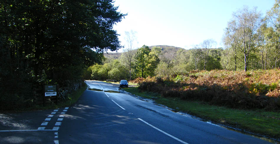
And finally.....back to the car.
Next Walk: 8th October 2008 -- Lake District -- Hampsfell from the Grange Fell road
Last Walk: 3rd October 2008 -- Lake District -- Arthur's Pike & Heughscar Hill from Askham
We hope you have enjoyed viewing this walk. If you have any comments please sign our Guestbook or E_Mail us