
| Area: | Lake District | Ascent: | 640feet |
| Walk No: | 361 | Time: | 3hours 15minutes |
| Date: | 16th March 2010 | Parking: | Elterwater NT Car Park (free to NT members) |
| Distance: | 6.75miles | Weather: | Low cloud at first but lifting later with some sun |
| Route: |
For those of you that are thinking of going onto the hills I would strongly recommend that you read the advice given by the Mountain Rescue organisation of England and Wales. To read this advice, which will open in a new page please click HERE. If you would like to make a donation to the Mountain Rescue organisation which is purely voluntary please click HERE. Please make the time to read the advice page.
I very nearly gave up on this walk before I arrived at Elterwater. As I drove along the A591 above Kendal I could barely see the town and at Staveley even the lowly Reston Scar was covered in cloud. However the forecast was for the day to brighten and as I was by myself I had time to spare. From the Low Wood Hotel the views up Langdale were nil but by the time I had arrived at Elterwater things were starting to improve.
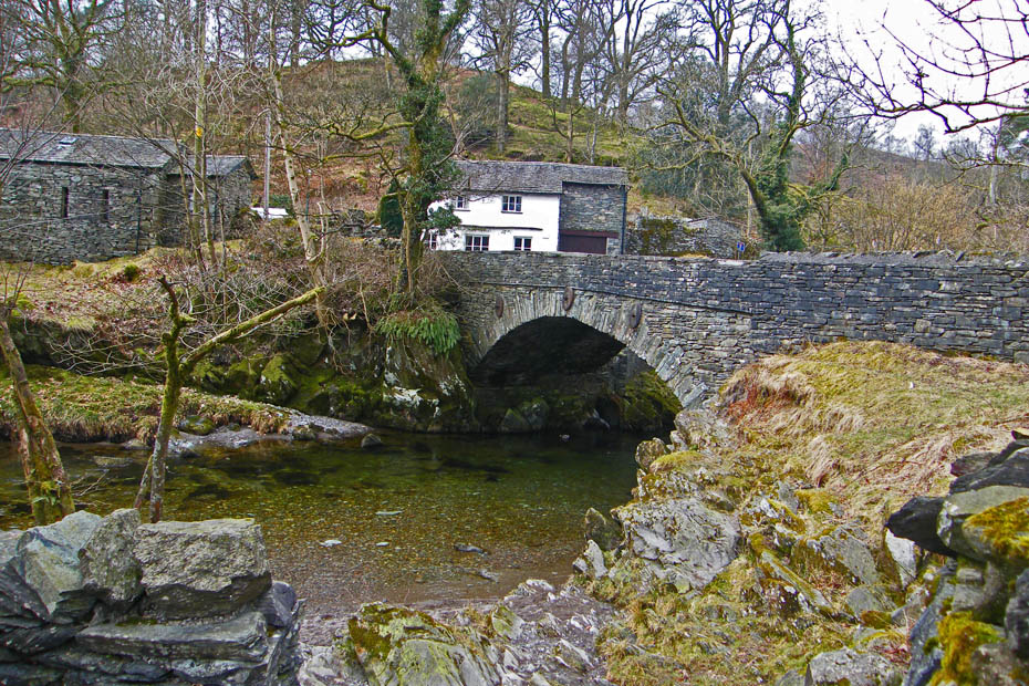
Having parked the car I made my way over the bridge and up the quarry road.

The cloud base was rising all the time giving me a view up Megs Gill as I walked along.
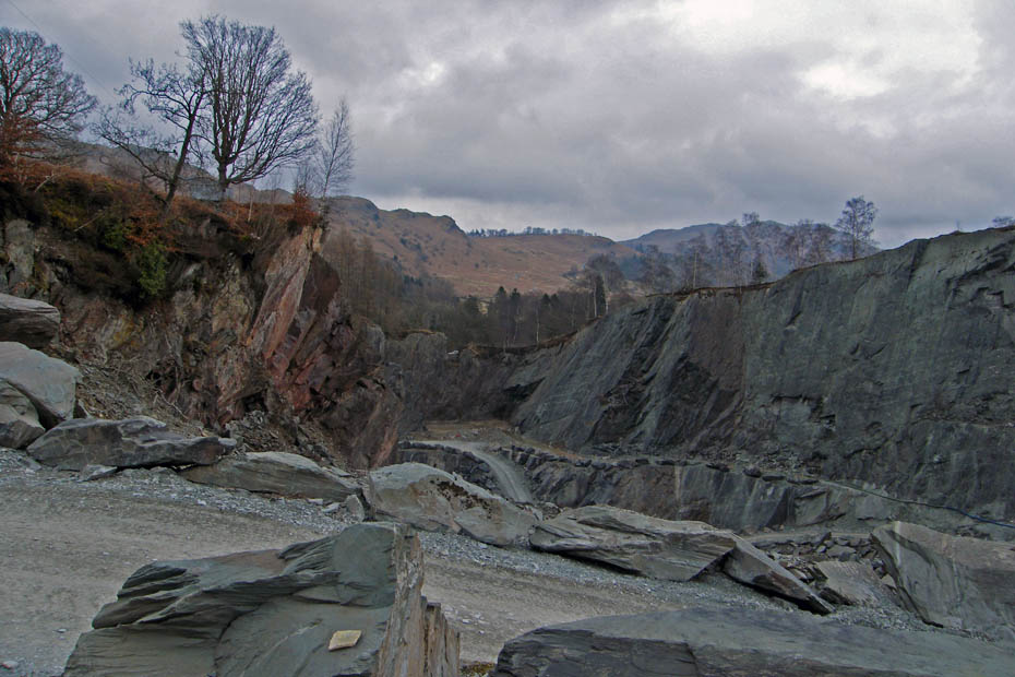
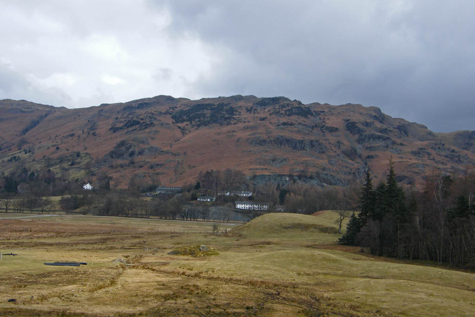
A peek into the quarry as I passed with Loughrigg in the distance.
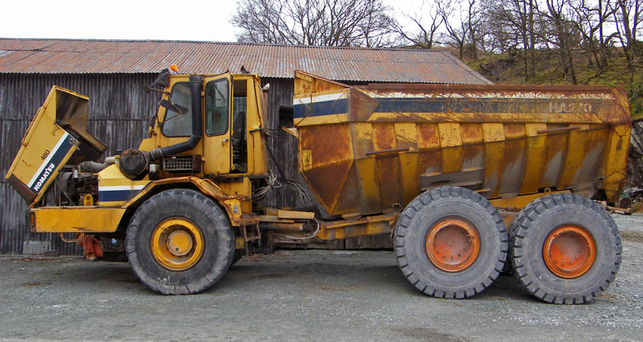
A broken Tonka Truck.
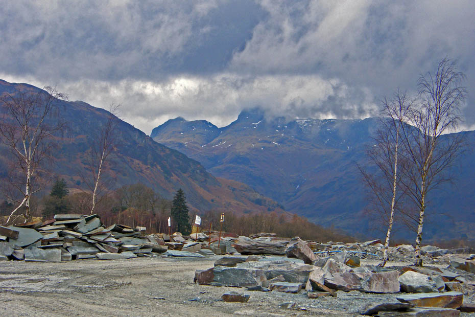
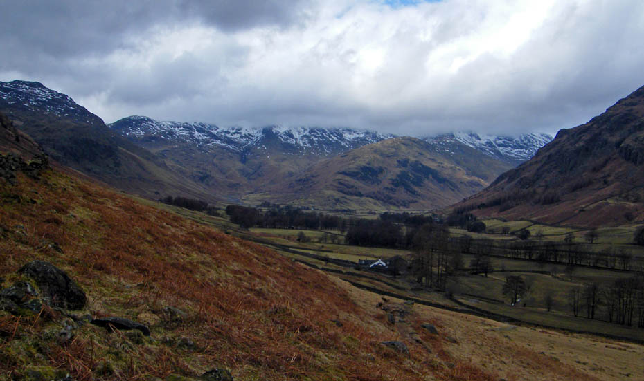
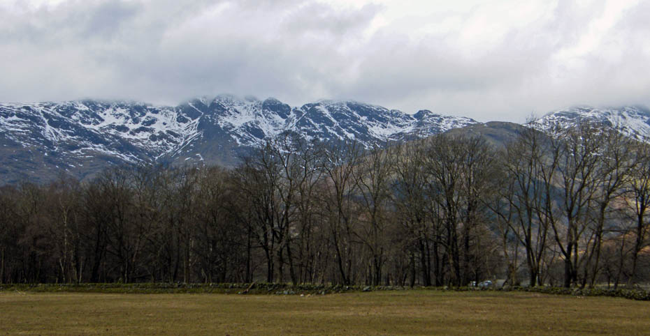
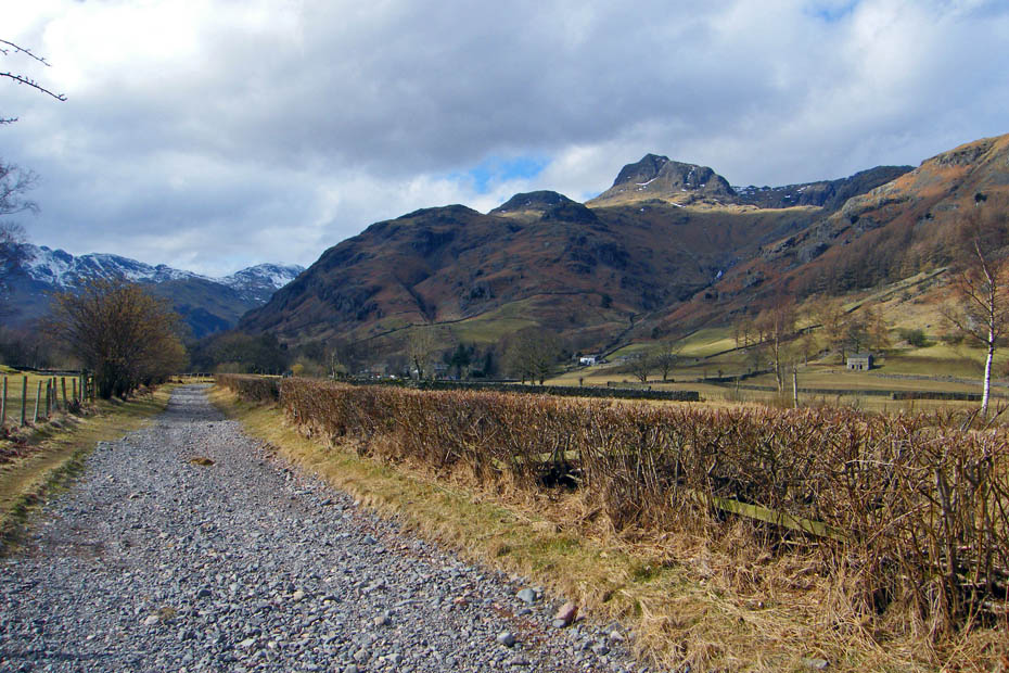
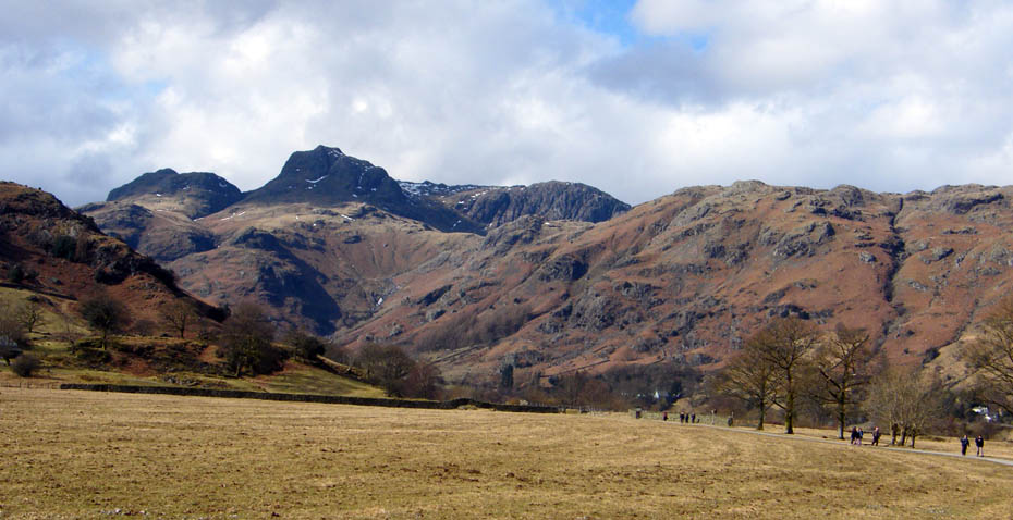
Getting better all the time. The Langdales from the quarry.
A short walk up from the quarry brought me to the lane going to Baysbrown Farm
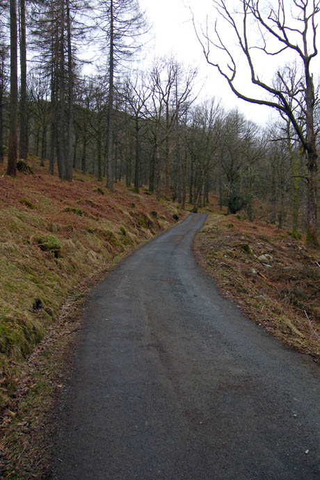
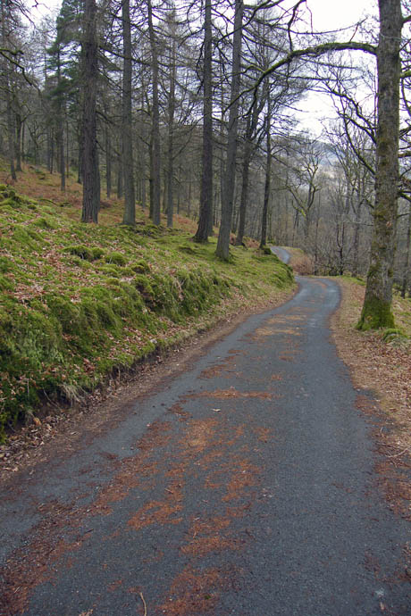
A pleasant stroll along the metalled lane through Baysbrown Woods.
Out into the open now, it's still quite dull but the cloud is lifting.
A look across the valley to Chapel Stile
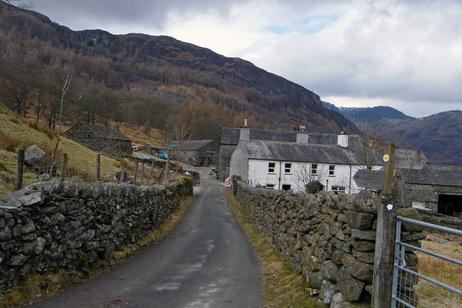
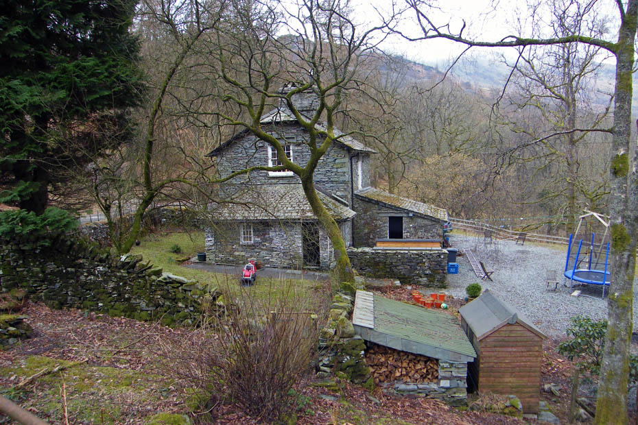
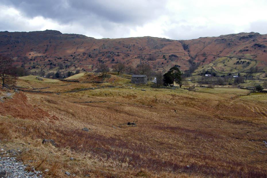
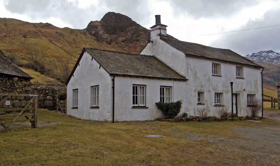
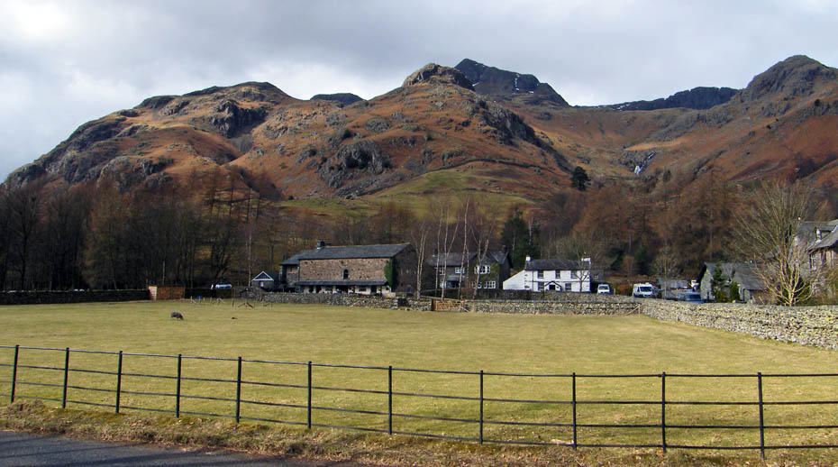
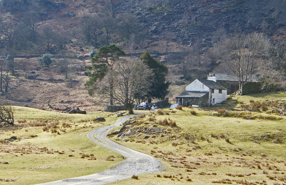
Baysbrown Farm
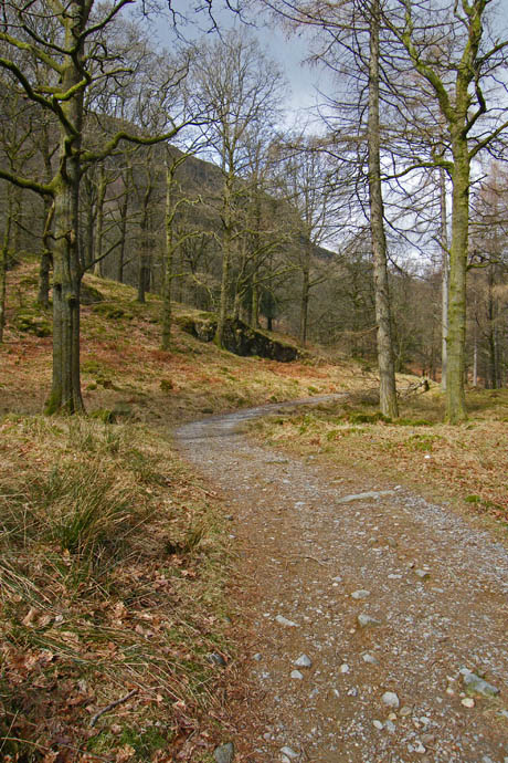
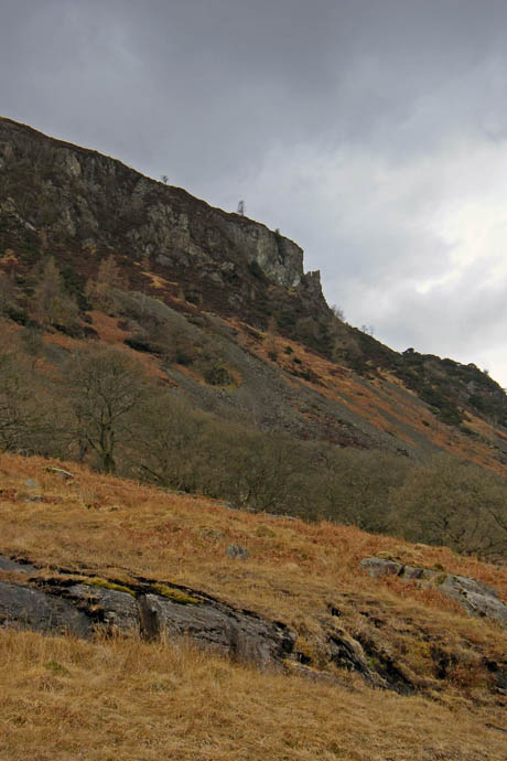
Walking through Hagg Wood first I then emerged to a view of the Oak Howe Needle above me to the left.
I followed the path down to Oak Howe...
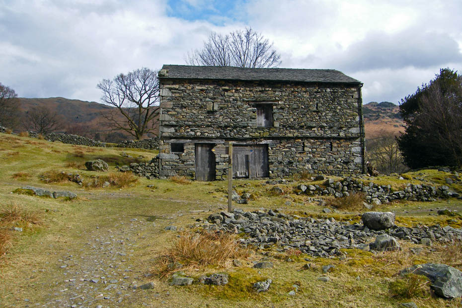
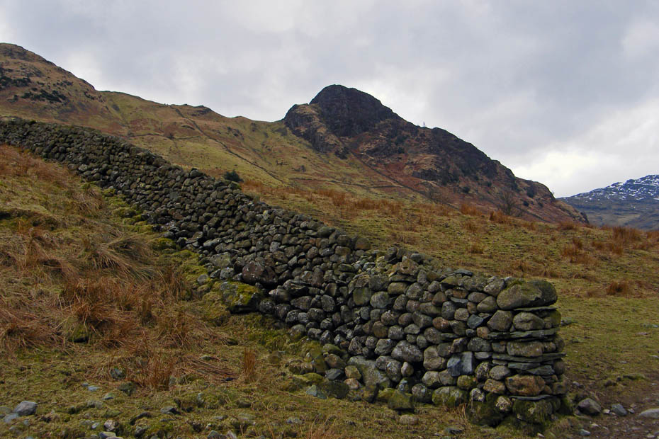
..where at the barn I took the path to the left. This is part of the Cumbria Way and stays just above the valley bottom to Side House.
It also offers better opportunities for some views
Even in the gloomy light the Langdales still looked magnificent. I suppose it's natures way of apologising for the the ridge behind. ;-)
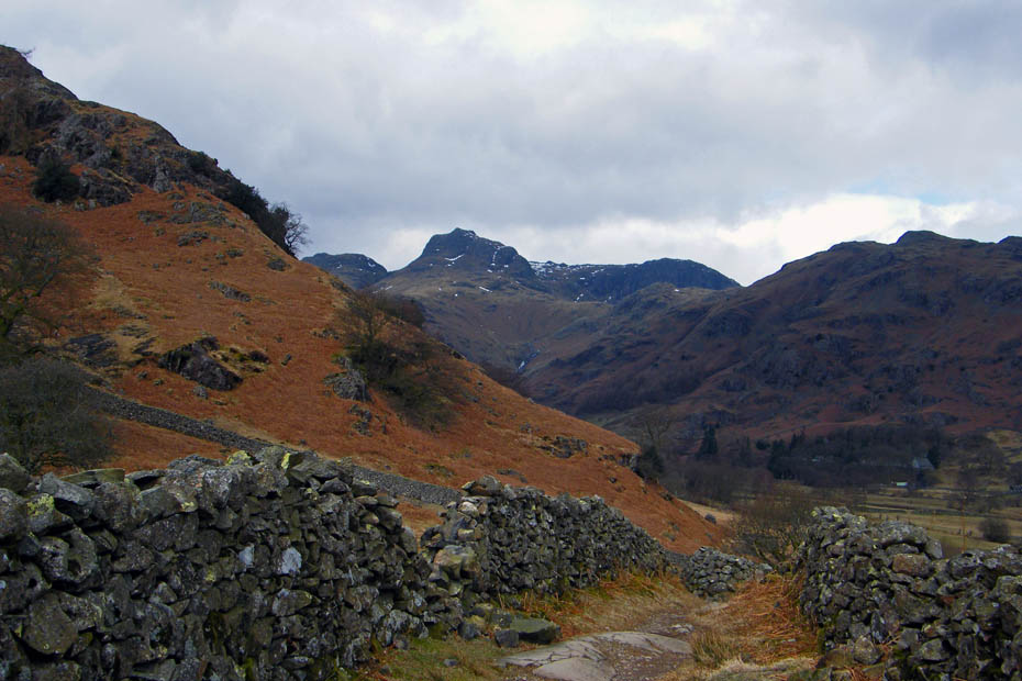
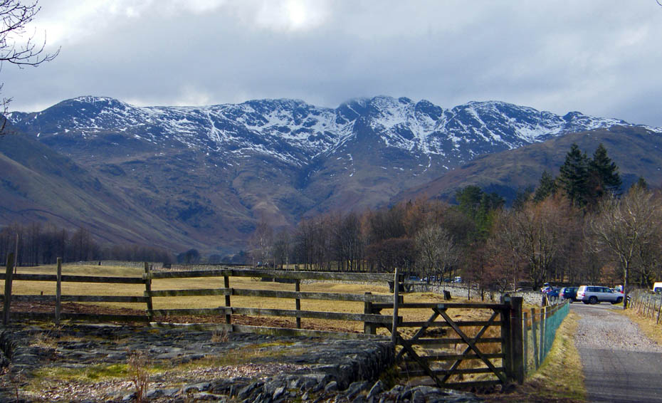
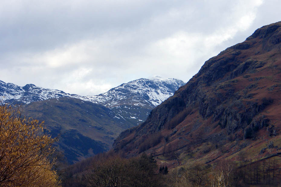
From the start of the descent to Side House the Crinkles and Bowfell are still playing shy.
Above to my left Side Pike thrusts itself skywards.
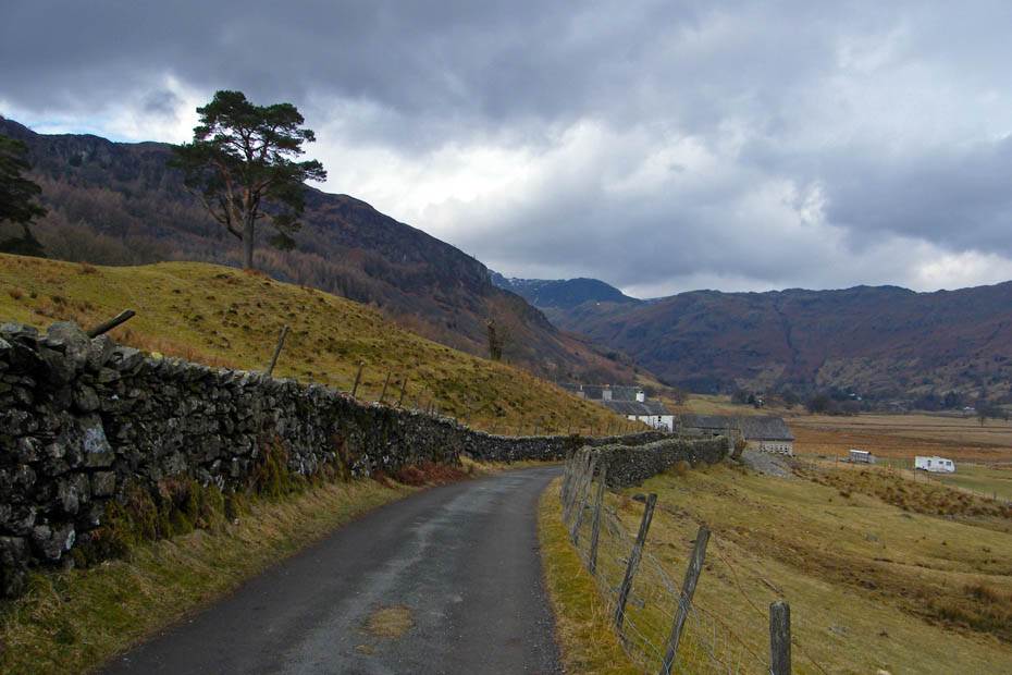
Side Farm & Pike
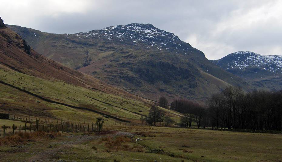
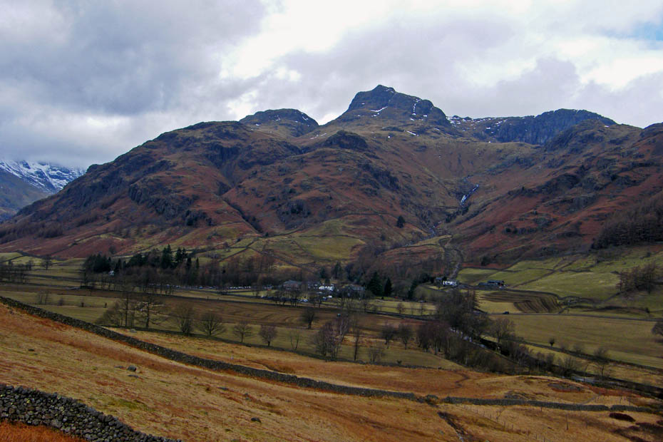
Pike O'Blisco and Kettle Crag with Great Knott to the right.
As I walk across the valley to the Sticklebarn the Crinkles are just about clear.
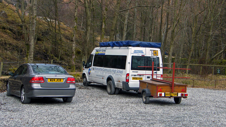
In the car park there's a group here from my old school but back in the past it was called Morecambe Grammar School.....think someone mismarked my 11+ exam paper.
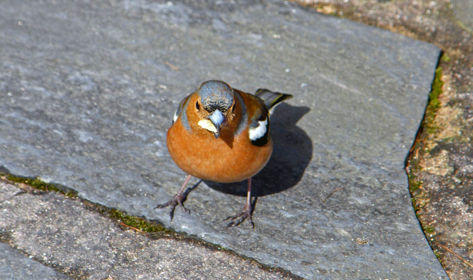
This not so little chappie and a few mates shared by Cheese & Onion crisps with me.
Passing the NDG on my wy back. Looks OK but not a patch on the ODG.
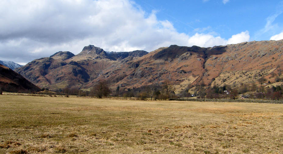
The Langdales as I start of back down the track of the Cumbria Way.
There's a wee bit of sun and the Crinkles have come out to play.
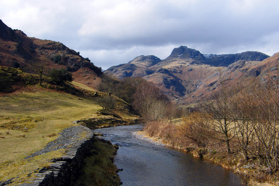
A look back from where Stickle Gyhll joins Great Langdale Beck
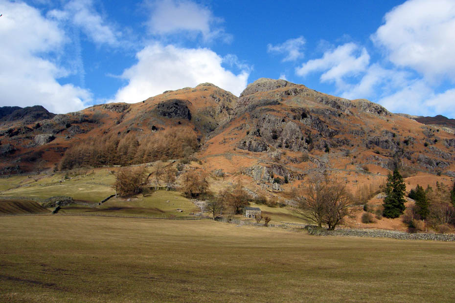
Swine Knott, Scout Crag & Whitegill Crag across the valley. This is one of AW's routes for Blea Rigg (Blea Rigg 8). It wasn't Ediths idea of fun when we last did it.
Another look back reveals that Bowfell is now cloud free.
A big close up.
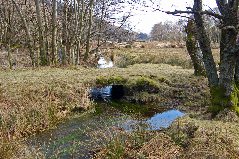
A grass covered slate bridge near the path
After nearly a mile the path joins the road where a turn right and a few yards brings you to the next path leading towards Oak Howe.
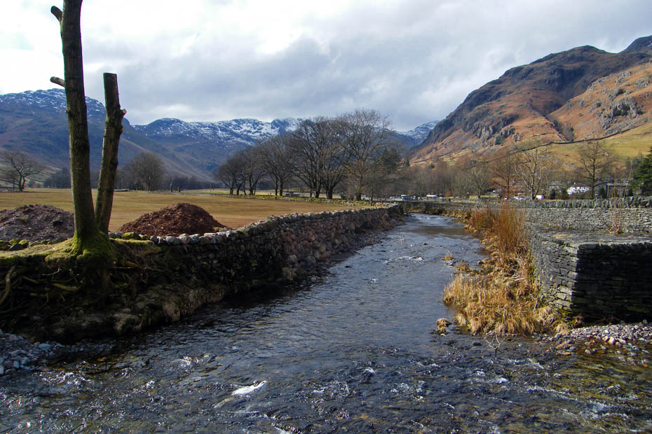
Probably my favourite from the day...The Langdales from the bridge over Great Langdale Beck near Oak Howe.
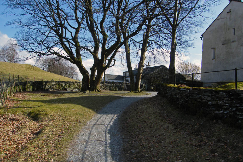
Oak Howe as I take the path to the left towards Chapel Stile.
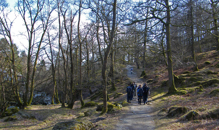
Up to now I had met only a few people but this section was quite busy.
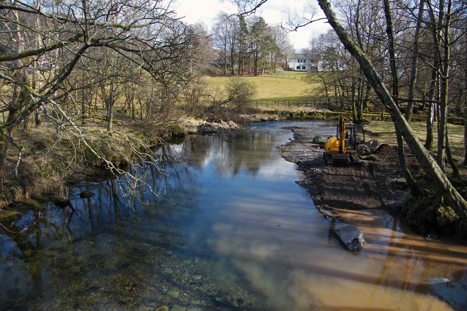
I was interested in what was happening here at the New Bridge at Chapel Stile. It wasn't exactly flood damage but by making the beck wider it will help.
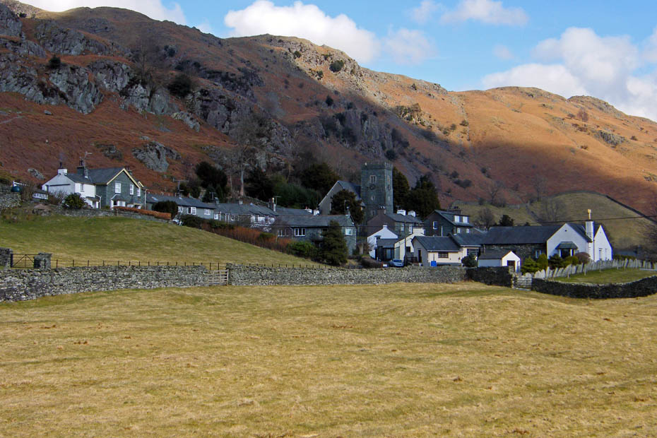
A look over to Chapel Stile.
The swings are still there at Thrang Farm. Purely for Elf & Safety purposes I tried them out. If they'll take me then everybodys safe.
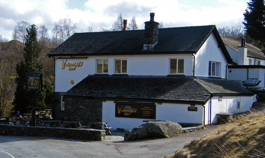
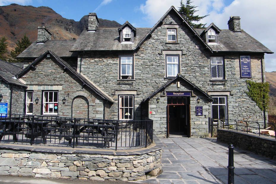
Wainwright's Inn, part of the Langdale Estate.
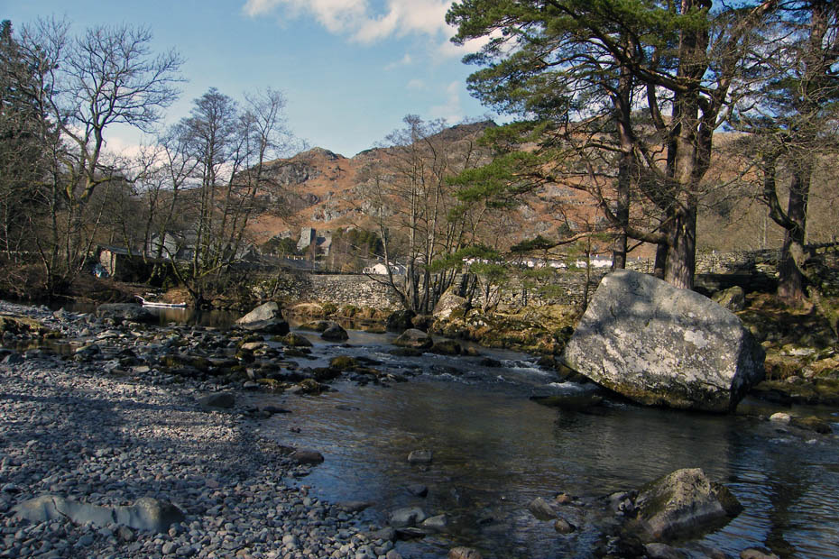
Great Langdale Beck.
The group of youngsters in front here were originally coming down the track. They were to put it mildly "temporarily misplaced". I asked them where they were going and all they knew was that there was a bridge and a hotel there. When I asked where they had come from they replied Chapel Stile. When I pointed out that they were on there way back to Chapel Stile faces fell....We agreed at Skelwith Bridge might be there best option. I last saw them sat, deep in conversation/argument at Elterwater.....they did have a contact number in case of emergency but were reluctant to use it at this point. At least they were out & about!!
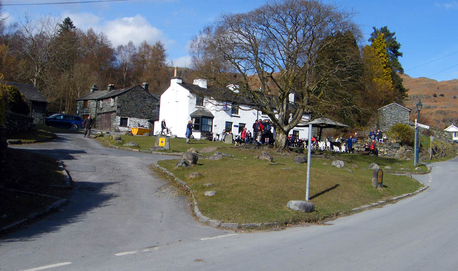
And finally.....Back at Elterwater with the The Brittania looking quite busy.
Next Walk: 17th March 2010 - Yorkshire Dales (W) - A Stainforth walkabout
Last Walk: 12th March 2010 - Arnside & Silverdale - The Fairy Steps to Beetham Fell
Do you have a Facebook or Twitter account. We post regular updates on both. Just click on either of the links below.
![]()

We hope you have enjoyed viewing this walk. If you have any comments please sign our Guestbook or E_Mail us.
