
| Area: | Local | Ascent: | 150feet |
| Walk No: | 378 | Time: | 2hours |
| Date: | 13th April 2010 | Parking: | Crook O'Lune picnic site (free) |
| Distance: | 3.75miles | Weather: | Fine with some sun to start , clouding over towards end |
| Route: |
For those of you that are thinking of going onto the hills I would strongly recommend that you read the advice given by the Mountain Rescue organisation of England and Wales. To read this advice, which will open in a new page please click HERE. If you would like to make a donation to the Mountain Rescue organisation which is purely voluntary please click HERE. Please make the time to read the advice page.
Edith usually visits her brother on a Tuesday but this week it as been changed to Wednesday. However she wanted to catch up with some jobs at home and as the weather forecast was for it clouding over by mid-morning plus I wasn't feeling 100% I decided on this short walk along the River Lune.
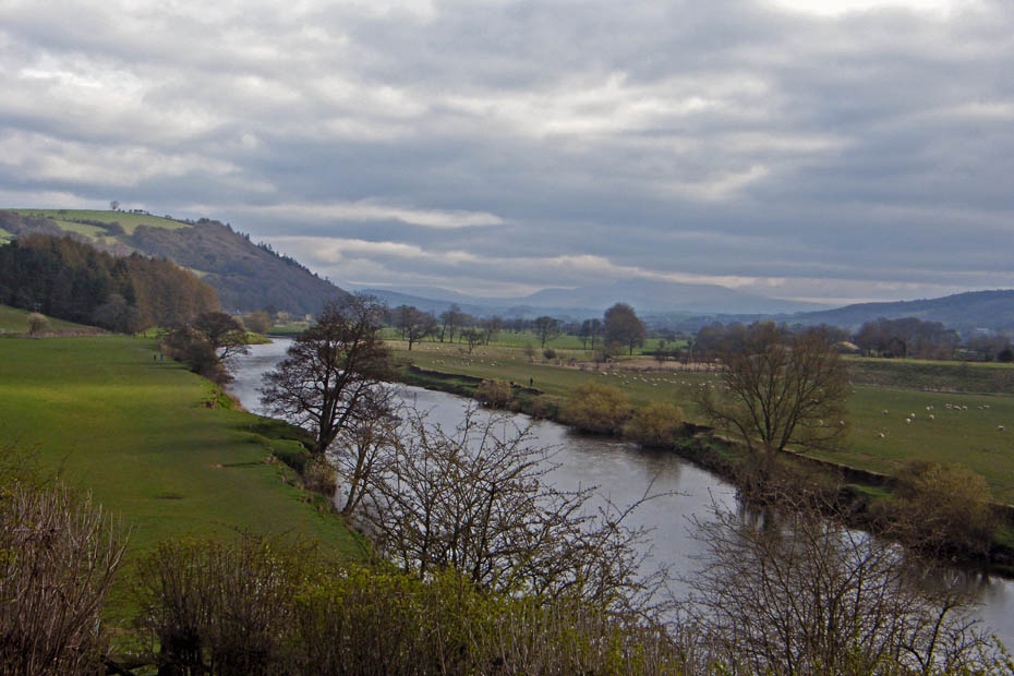
The walk starts at the Crook O'Lune picnic site from where a path leads down first to the old railway trackbed, now a bridleway and then to the river. Here I am looking upriver towards Ingleborough which is part hidden in cloud.
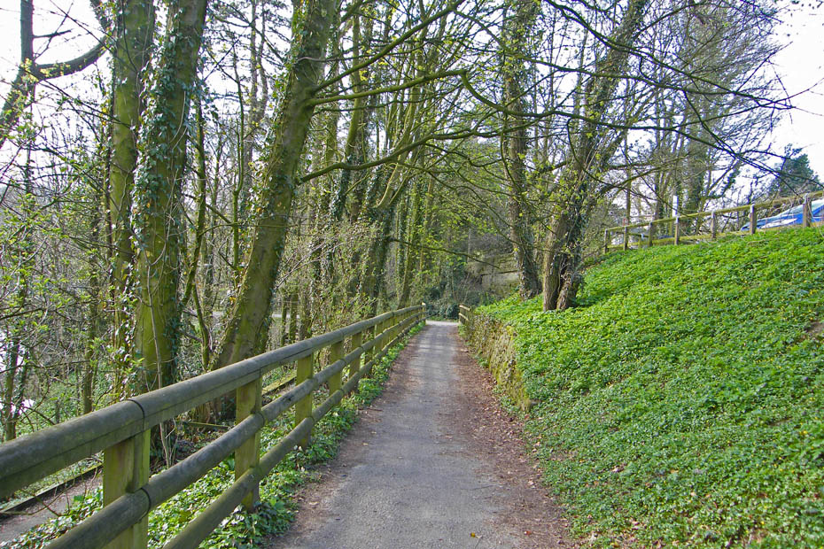
The path down to the old railway line and to the river.
I will come back to this point shortly, but first a walk to the Crook O'Lune
The treea are starting to get there summer coats now.
Can't be mad at the ducks today for spoiking reflections, there's a bit of a breeze doing that.
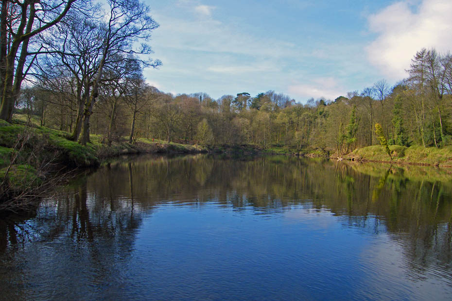
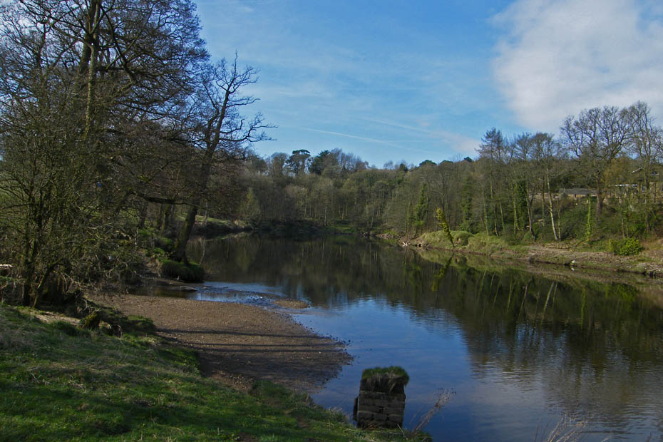
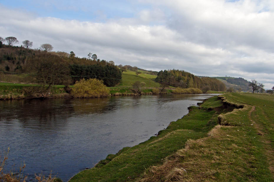
Looking downriver.
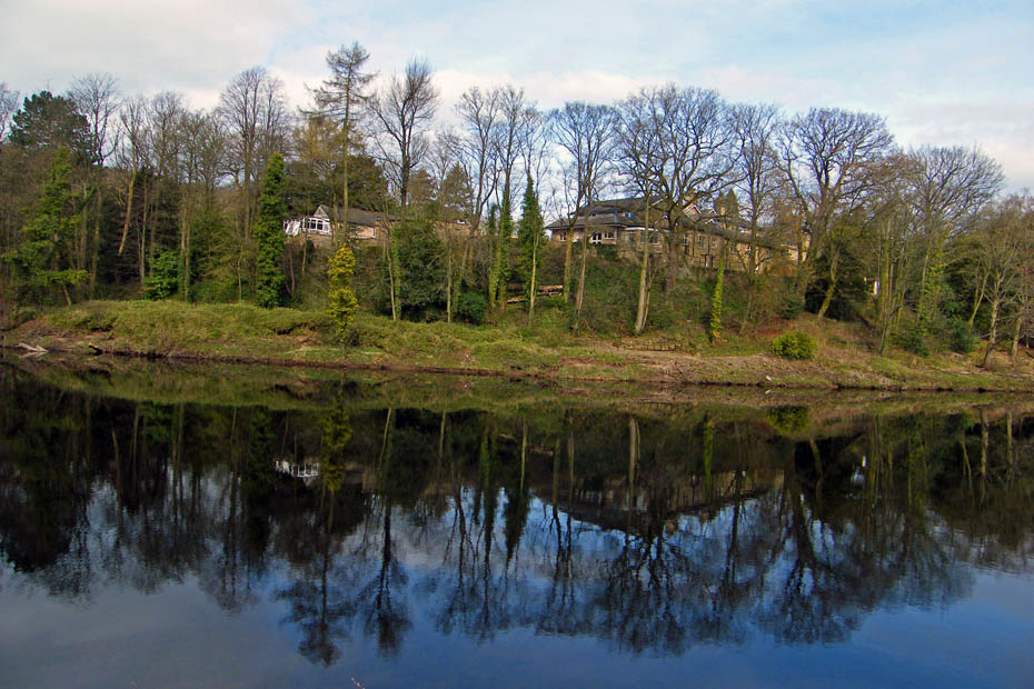
It won't be too long before the housing is hidden behind the trees.
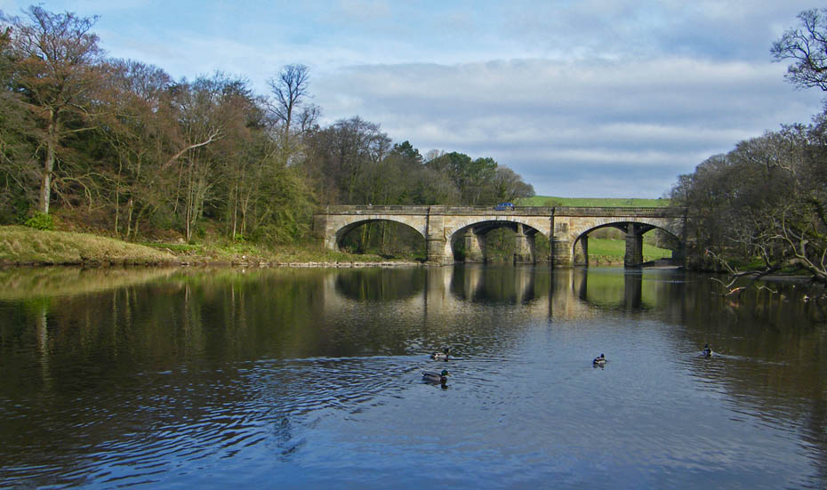
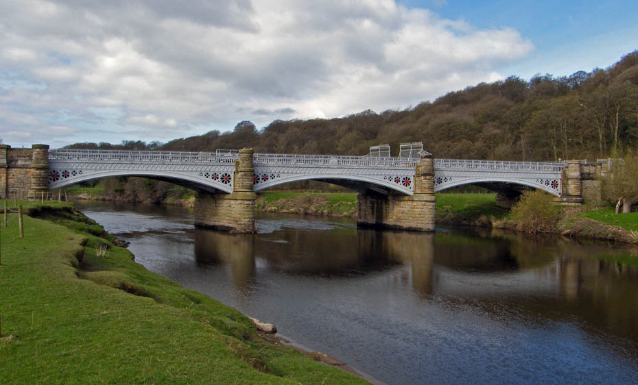
The road bridge over the river with the eastern rail bridge behind. I will now walk back to them to get onto the river bank upstream.
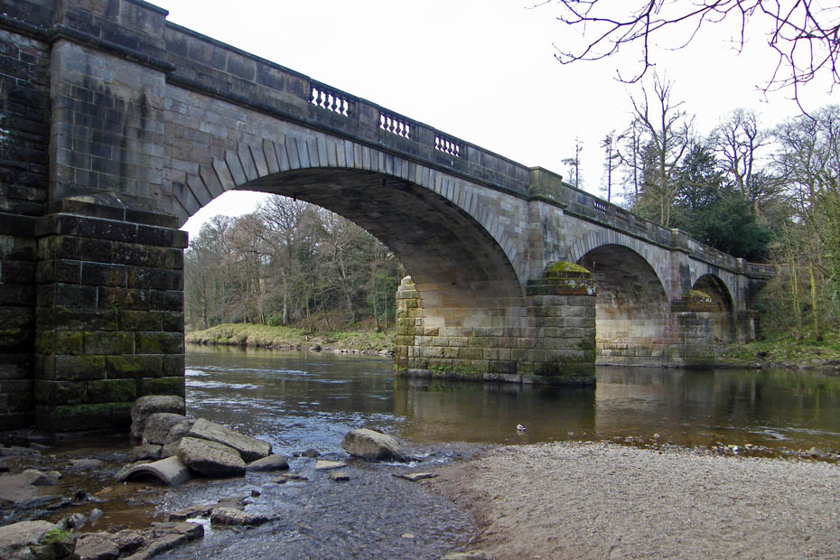
Penny Bridge, originally a toll bridge was rebuilt in 1883 by Paley & Austin.
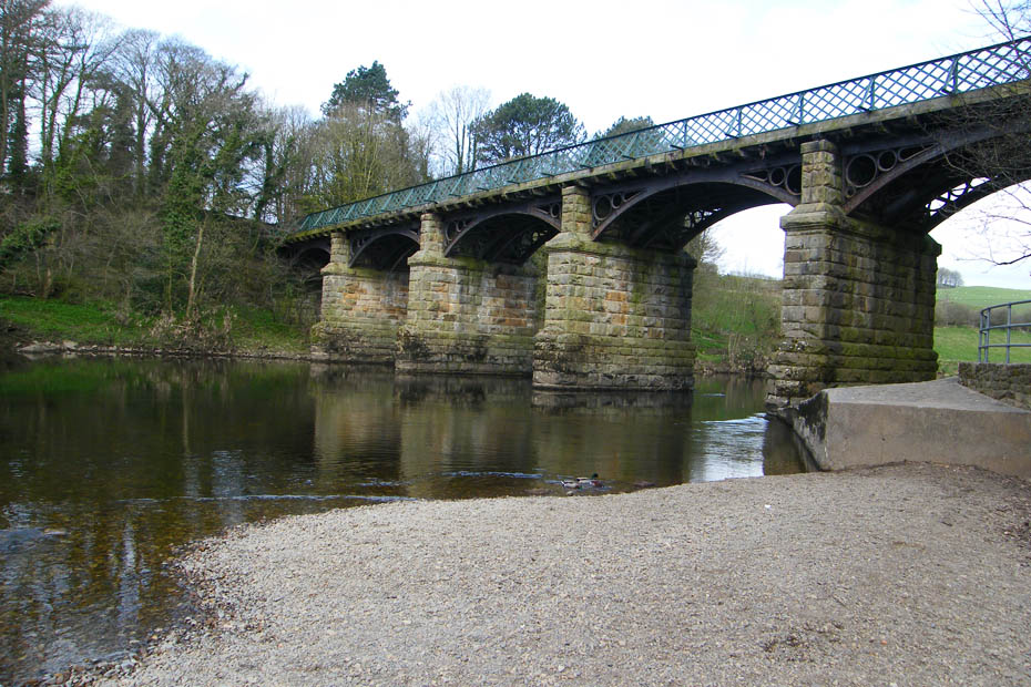
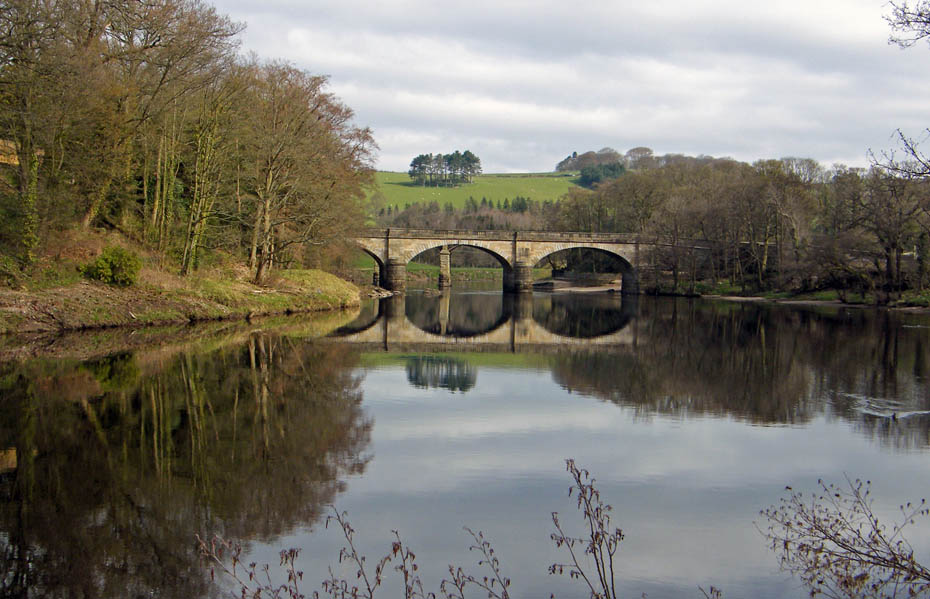
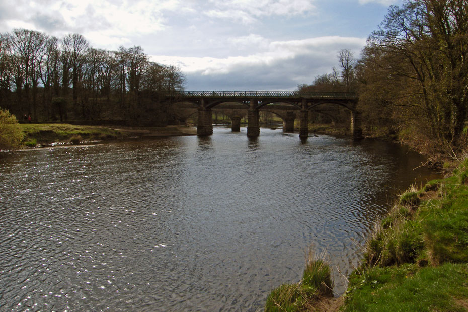
There are two rail bridges over the river only just over a couple of hundred yards apart. They were built in 1849 by the Little North Western and designed by Edmund Sharpe. The line closed in 1966 courtesy of Dr Beeching but now makes a grand cyclepath and footpath.
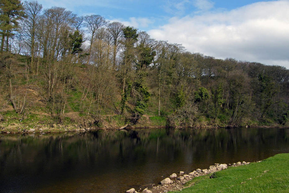
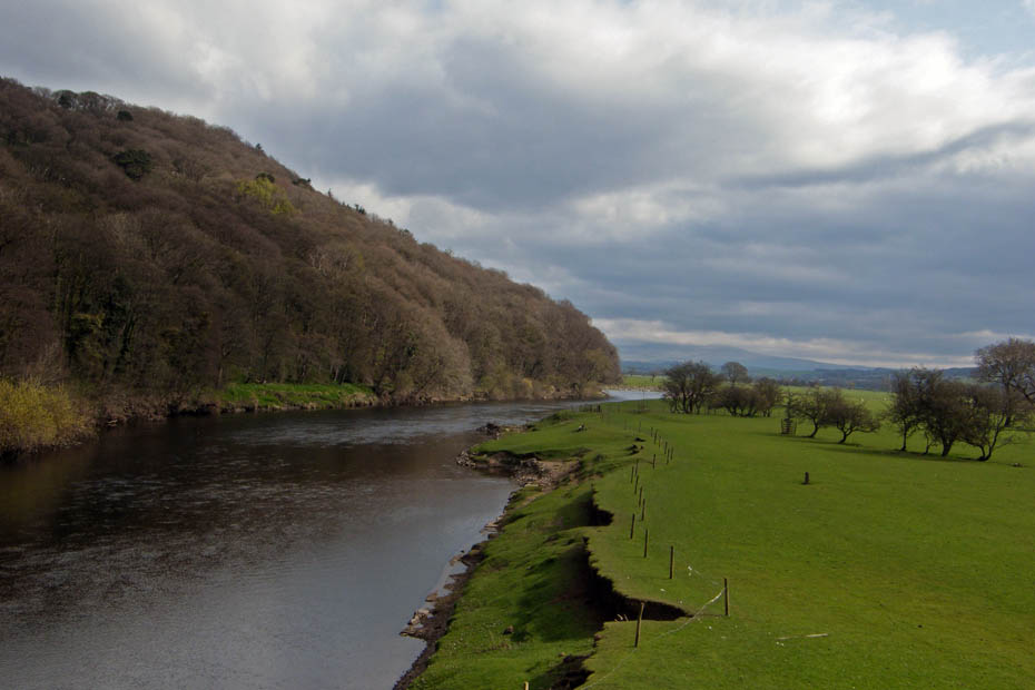
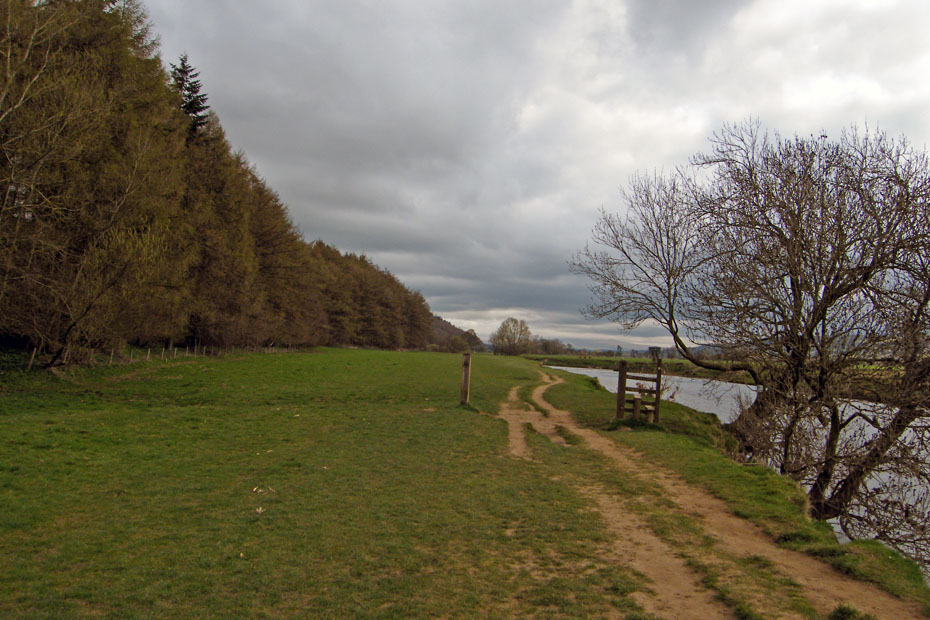
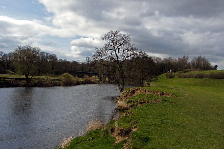
I am now heading NE'ly following the river upstream. This picture shows how the riverbank as been undercut and parts dropped down.
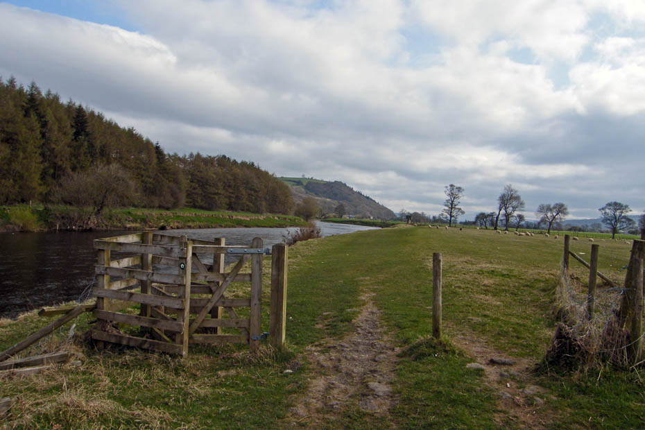
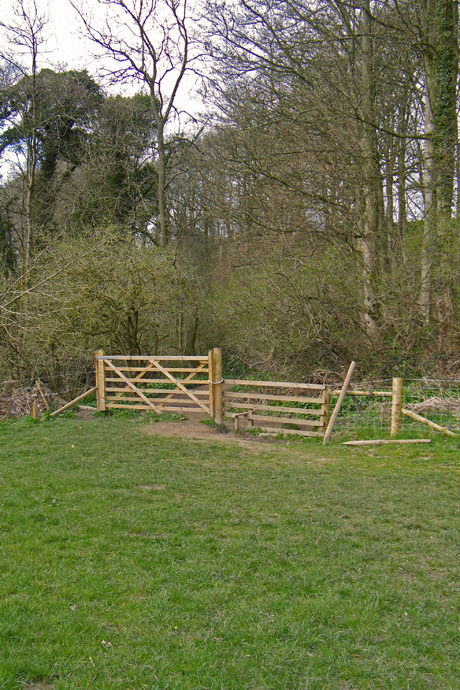
Don't forget to close the gate!
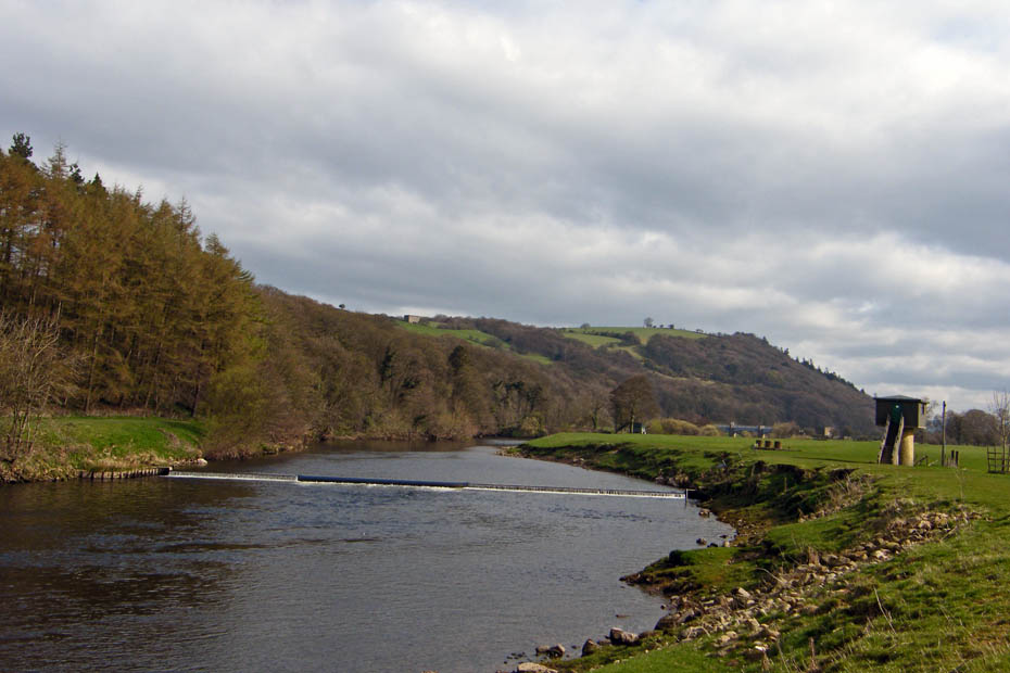
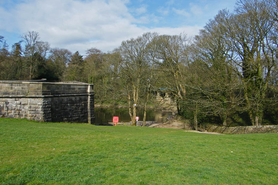
Approaching the weir and flow measuring station.
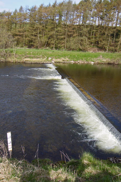
The Weir.
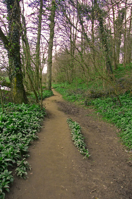
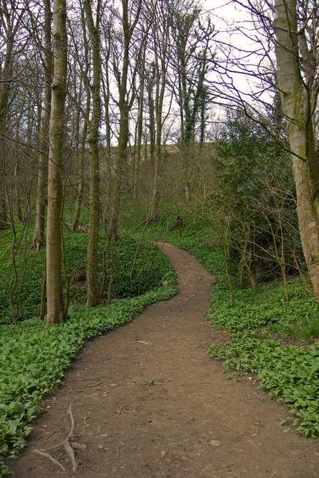
Continuing upstream and a view of my return path through the woods
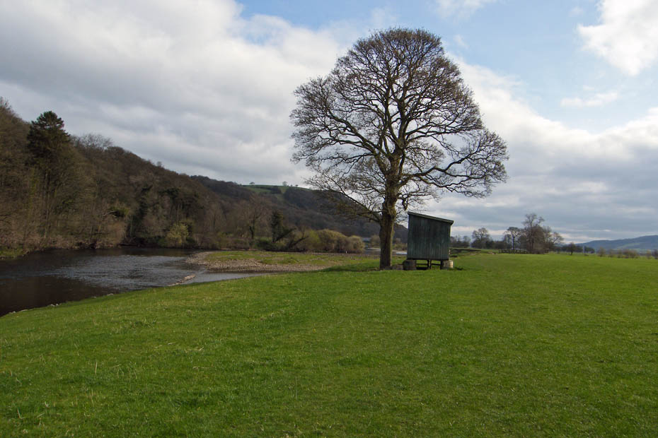
Approaching Artle Beck which begins life as Rushbed Gutter high on the Bowland Fells not far from the summit of Ward's Stone the highest point in the Forest of Bowland. The Hut is for the anglers to leave their gear whilst fishing the river.
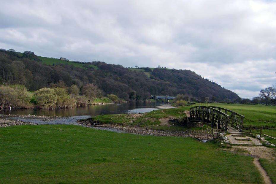
The footbridge over Artle Beck. Previously it was crossed on stepping stones which when the beck was in spate could be "interesting"
The Waterworks Bridge supplying the citizens of Manchester with water from Thirlmere in the Lake District. From here I walked a little further upstream before returning here to cross.
Having walked upstream a short way I returned to the Waterworks Bridge to cross over to the other side.
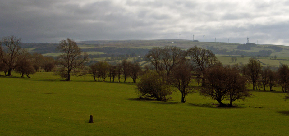
The wind-farm on Caton Moor
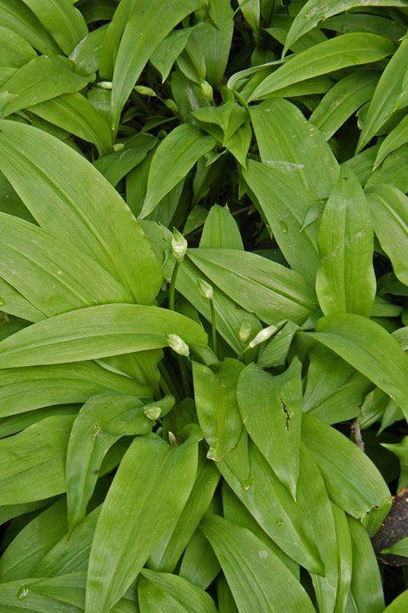
I followed the river downstream through a couple of fields before entering the woods where the wild garlic was starting to flower.
The woods are full of the stuff and the air is filled with the wonderful smell.
All to soon I left the woods to return along the riverbank. Here I am looking back to the woods....
...and ahead to the picnic site where I can see the snack car.
Nearly back and a glistening river.
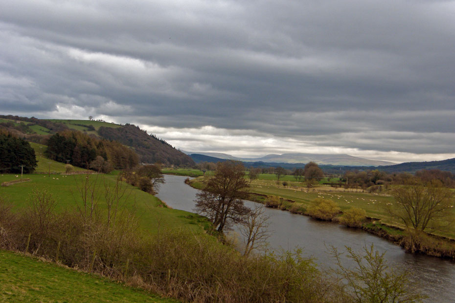
Back where I started and Ingleborough is still under cloud.
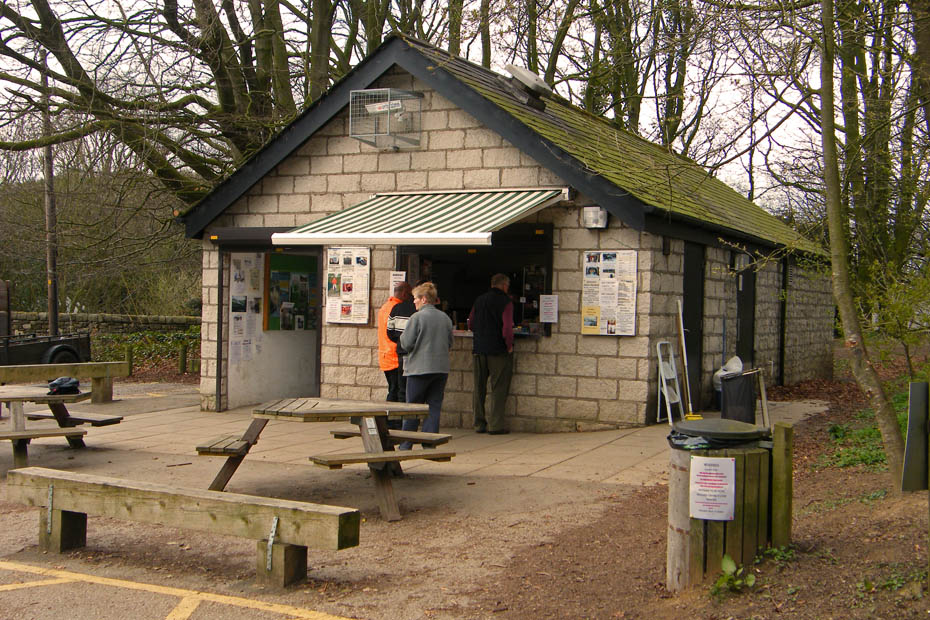
And finally, a bacon bun at Woodies.
Next Walk: 14th April 2010 - Arnside & Silverdale AONB - The Tornado at Arnside
Last Walk: 12th April 2010 - Lake District - High Dam from Newby Bridge
Do you have a Facebook or Twitter account. We post regular updates on both. Just click on either of the links below.
![]()

We hope you have enjoyed viewing this walk. If you have any comments please sign our Guestbook or E_Mail us.
