
| Area: | Yorkshire Dales (W) | Ascent: | 770feet |
| Walk No: | 429 | Time: | 3hours 30minutes |
| Date: | 8th August 2010 | Parking: | Roadside on Thornton in Lonsdale - Dent road |
| Distance: | 6.50miles | Weather: | Overcast but fairly bright to start then light rain. |
| Route: |
For those of you that are thinking of going onto the hills I would strongly recommend that you read the advice given by the Mountain Rescue organisation of England and Wales. To read this advice, which will open in a new page please click HERE. If you would like to make a donation to the Mountain Rescue organisation which is purely voluntary please click HERE. Please make the time to read the advice page.
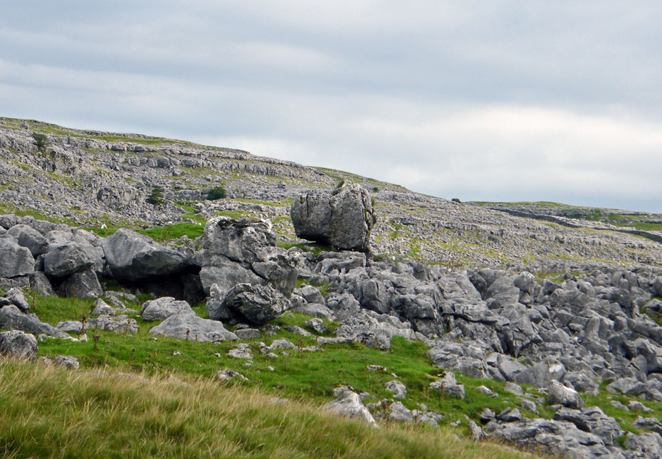
I last walked along the Turbary Road in the early 1990's and remembered it as a lovely track so when I saw this walk mentioned in the Westmorland Gazette newspaper I thought it was time for a revisit. Turbary is the ancient right to cut peat and the Turbary Road which runs along the lower slopes of Gragareth and above the valley of Kingsdale was used to access the areas used to cut peat. The area is littered with pot holes and caves and our walk would take us to Yordas Cave which was once a show cave.
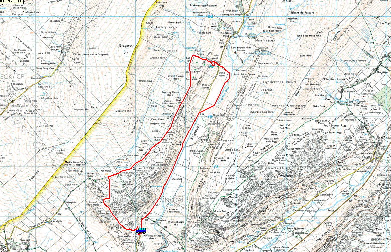
Route Map
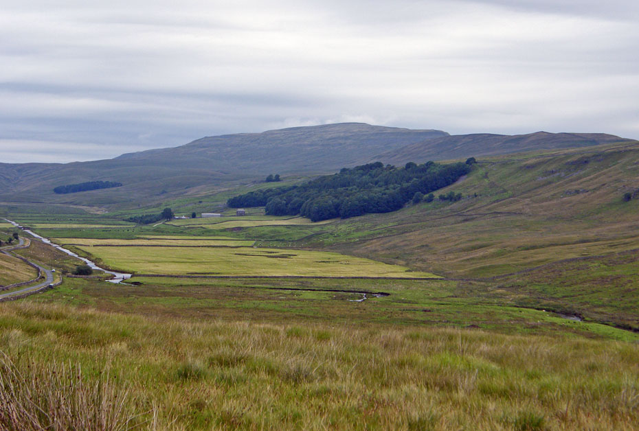
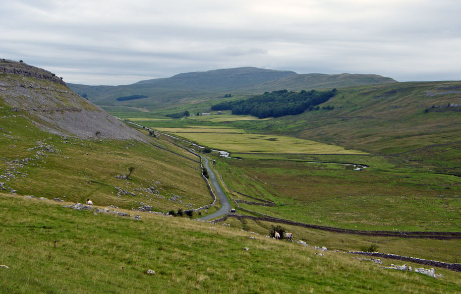
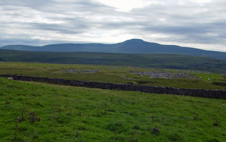
We parked the car next to the start of the walk. It was a bit of a grey morning but was supposed to brighten. Here we are looking along Kingsdale to Whernside.
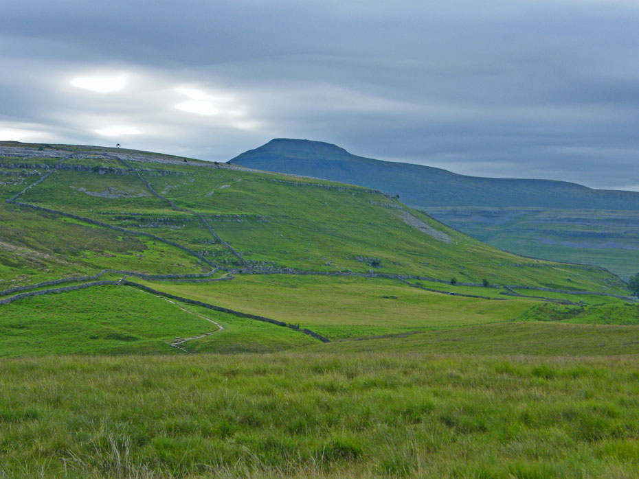
And over Twistleton Scar end to Ingleborough.
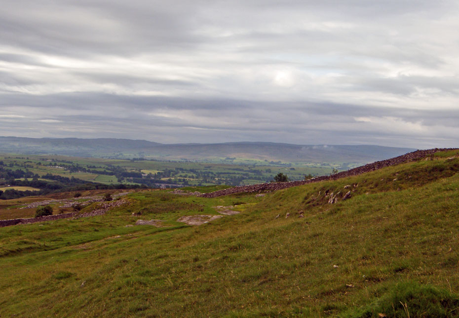
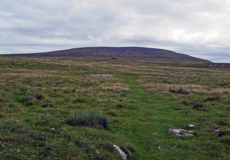
Looking southwards towards the Bowland hills as we make our way up the zig zag path.
Gaining a little height
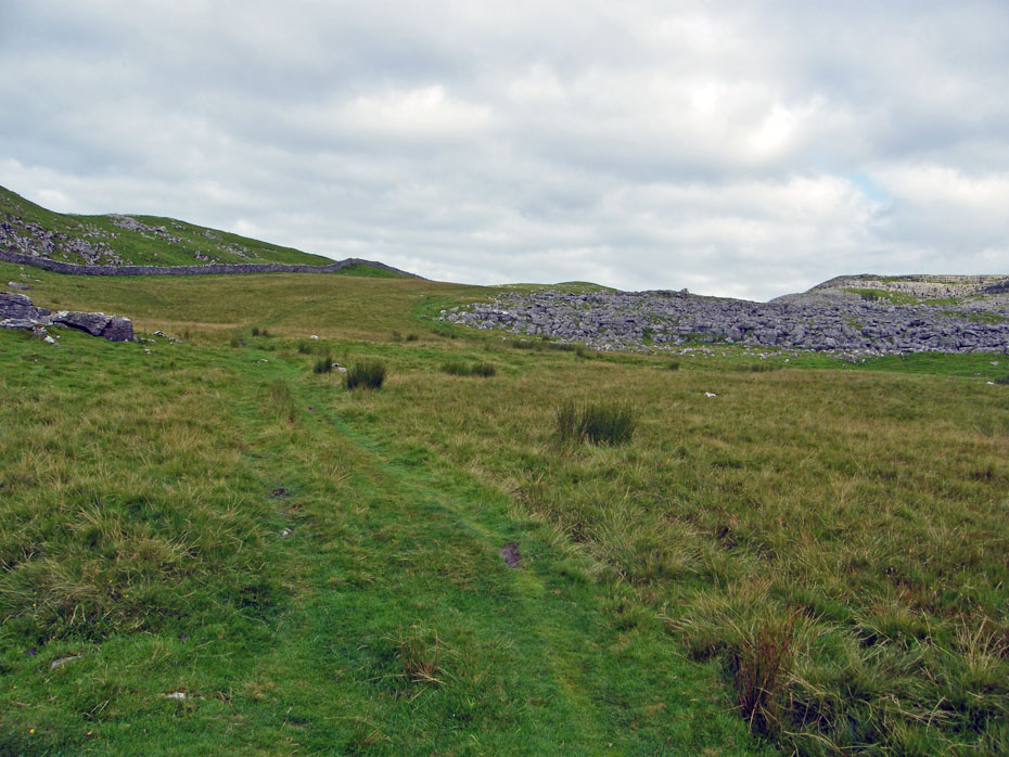
The path is easy to follow
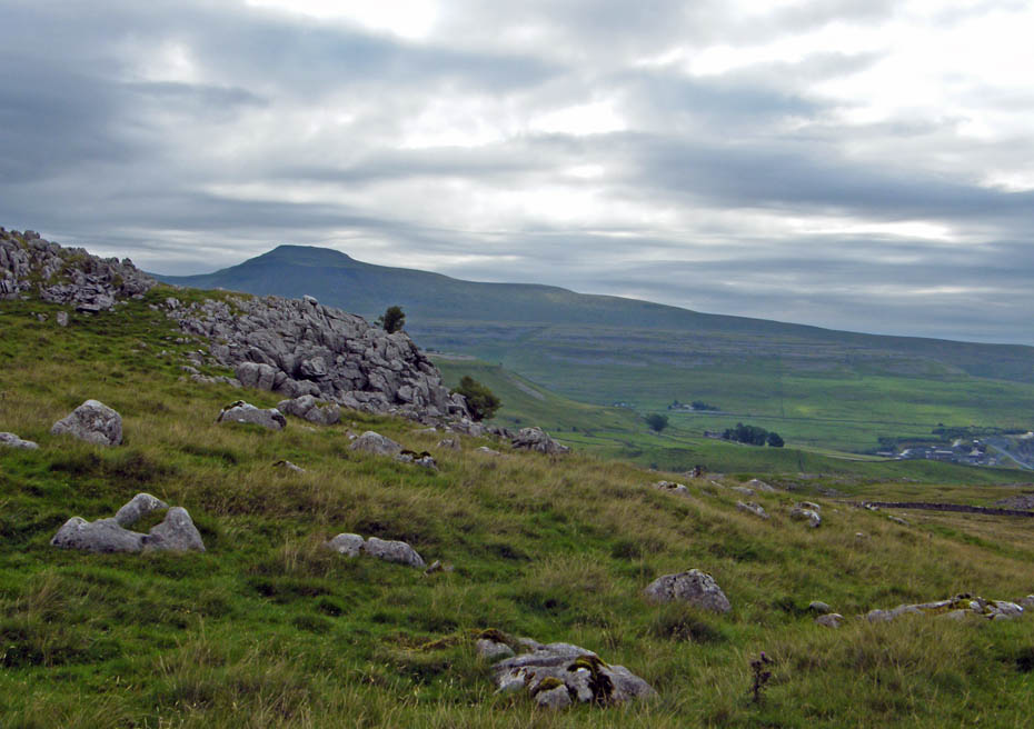
Views towards Ingleborough into the sun......well where the sun should be!!
Whernside over Keld Head Scars
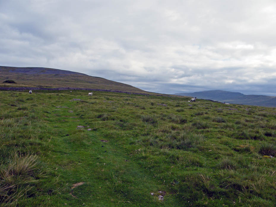
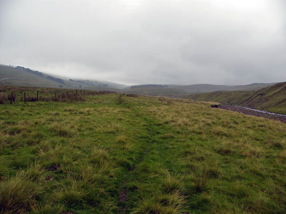
The path wends and winds its way mainly in a NNE direction but is easy to follow at all times.
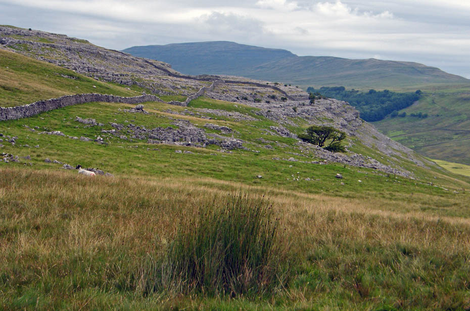
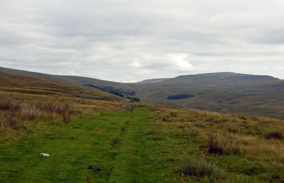
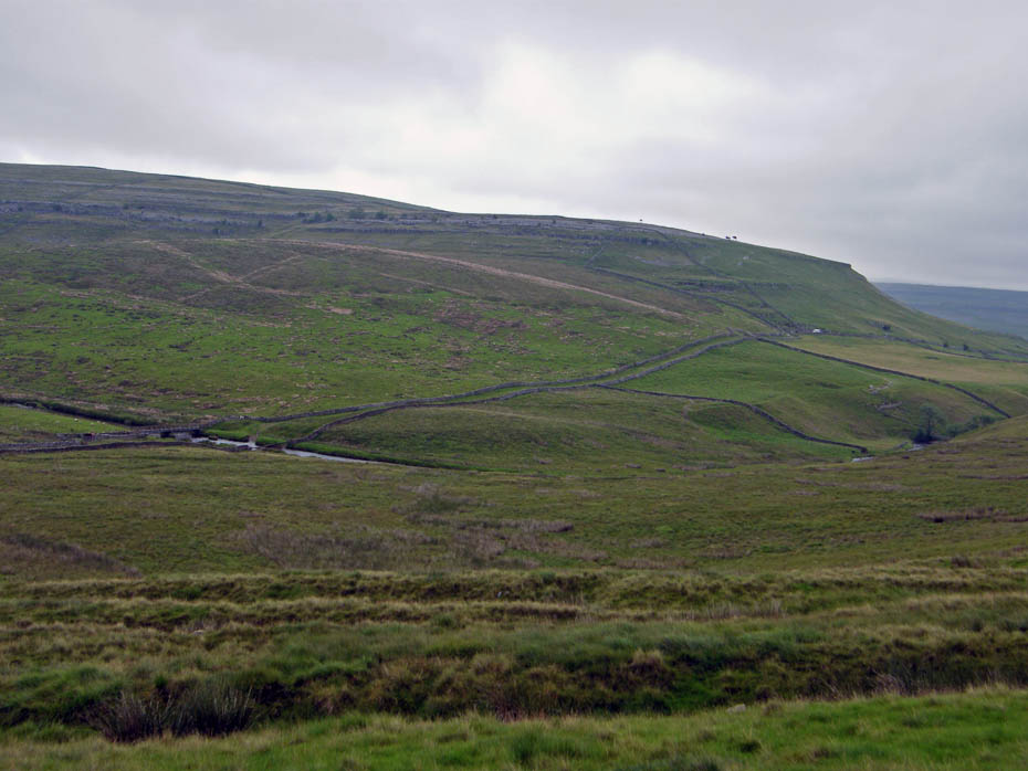
It finally levels out as it heads towards Dodson's Hill at the southern end of Gragareth heading towards a wall.
At the wall it joins the Turbary Road which we will follow to the right.
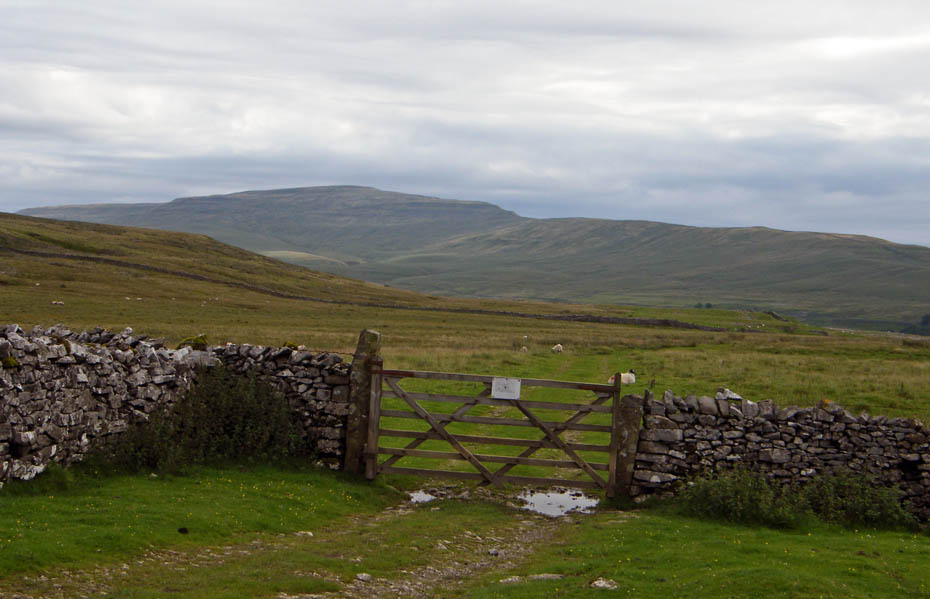
Now on the Turbary Road which is an even better track.
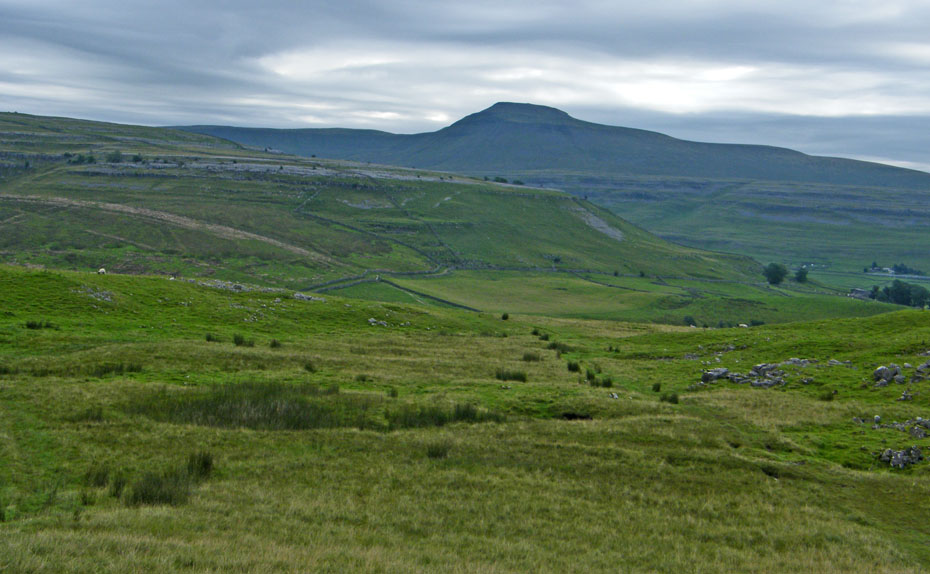
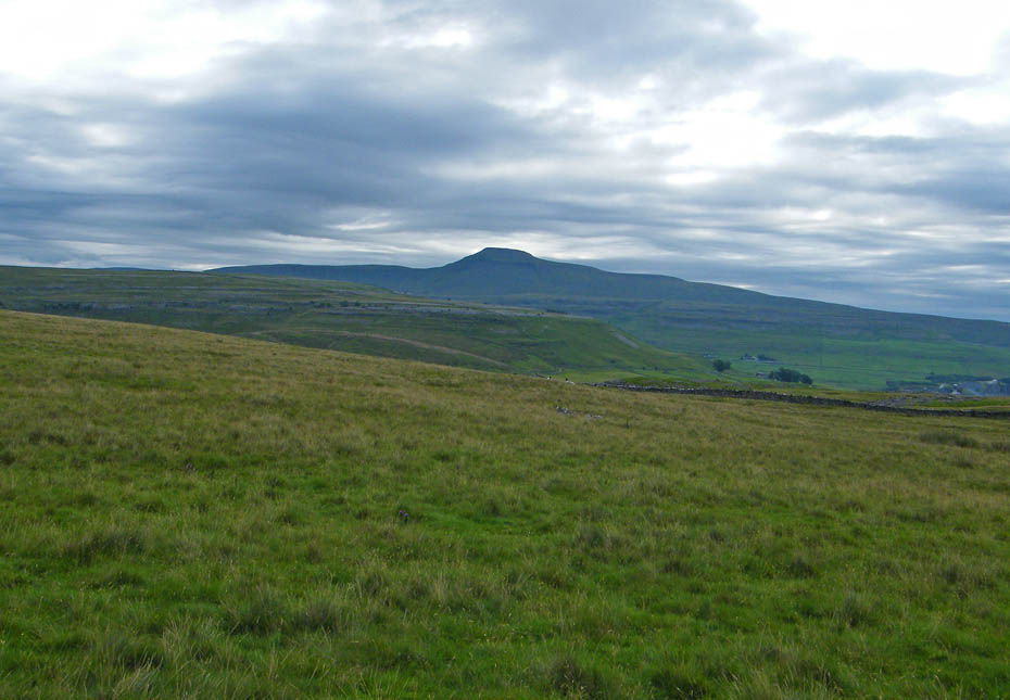
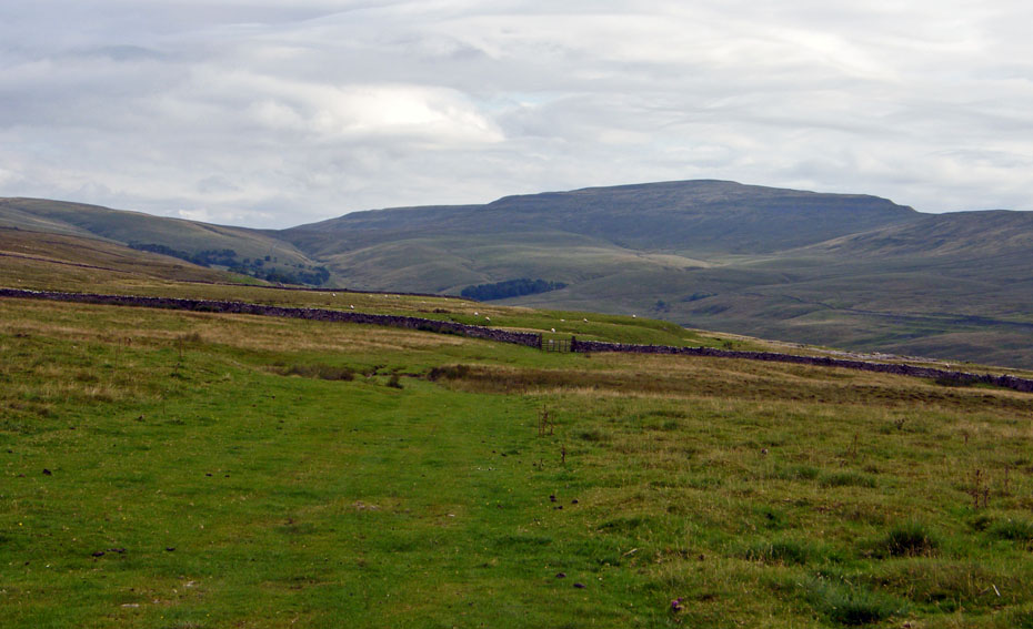
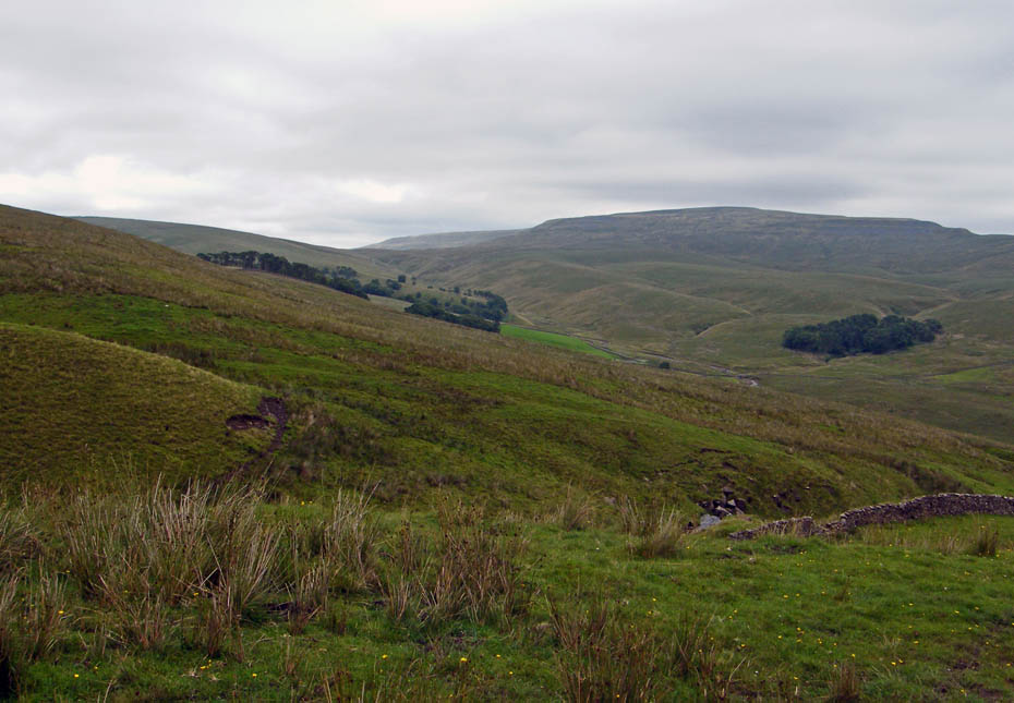
Whernside dominates the skyline as we follow the track. Unfortunately the brighter weather as not arrived.....
.....and Ingleborough looks positively gloomy.

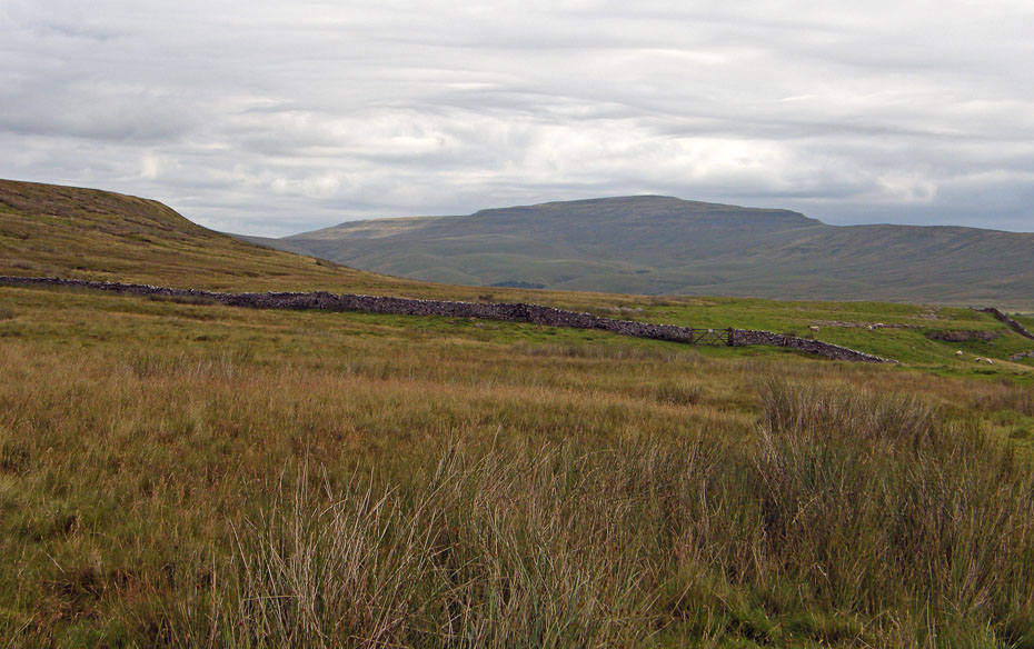
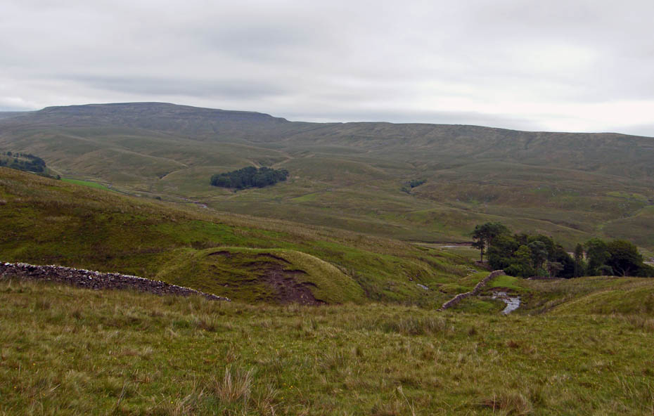
A touch of brightness (shortlived) shows the eastern edge of Gragareth
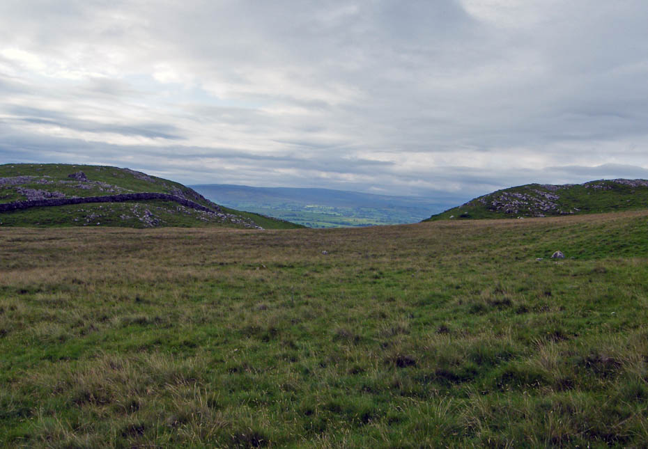
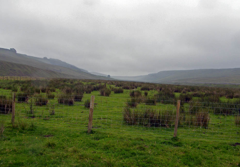
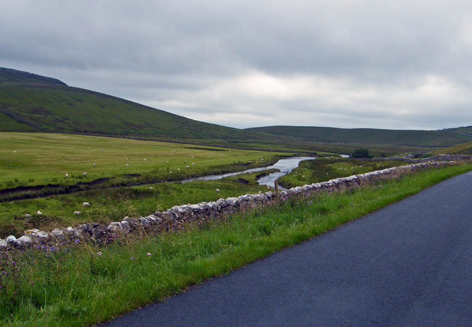
Looking to the head of Kingsdale
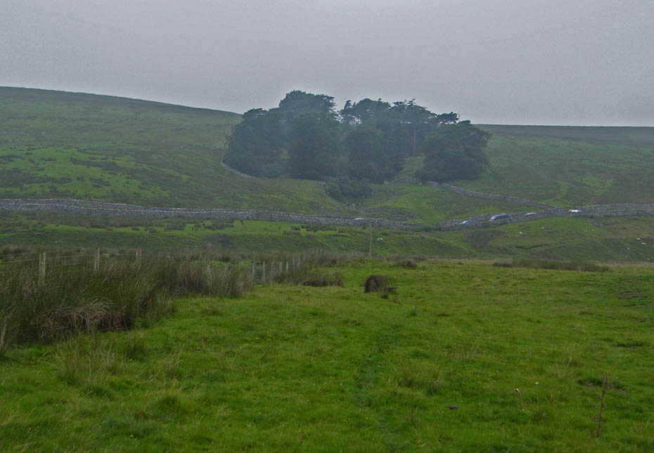
We are heading towards the trees on the left.
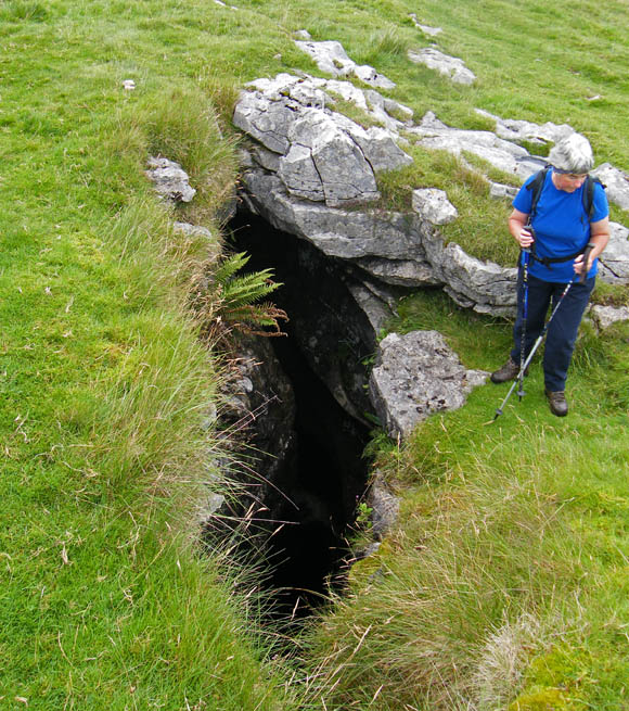
The collapsed roof of an underground cave system known as Rowten Pot. You could see water flowing below.
Rowten Pot.....It is one of the entrances into the West Kingsdale System. Rowten Pot is almost completely vertical, dropping 105 m in total. The main pitch alone is ~50 m high.
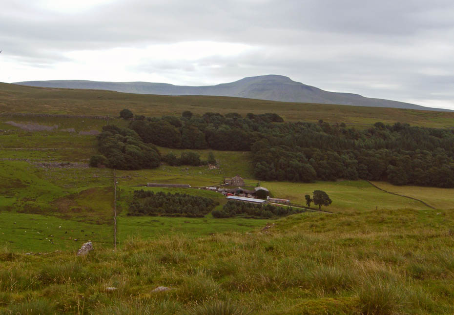
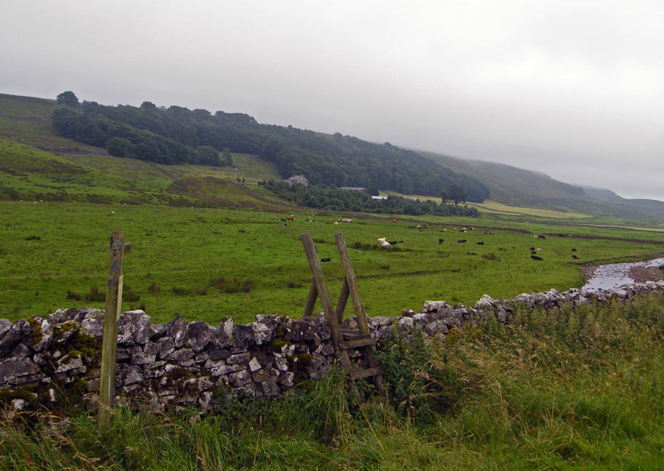
Below us in the valley is the farm of Braida Garth.
A look back as we near Yordas Wood and there are showers heading our way.
This is where we started to descend following the beck down.
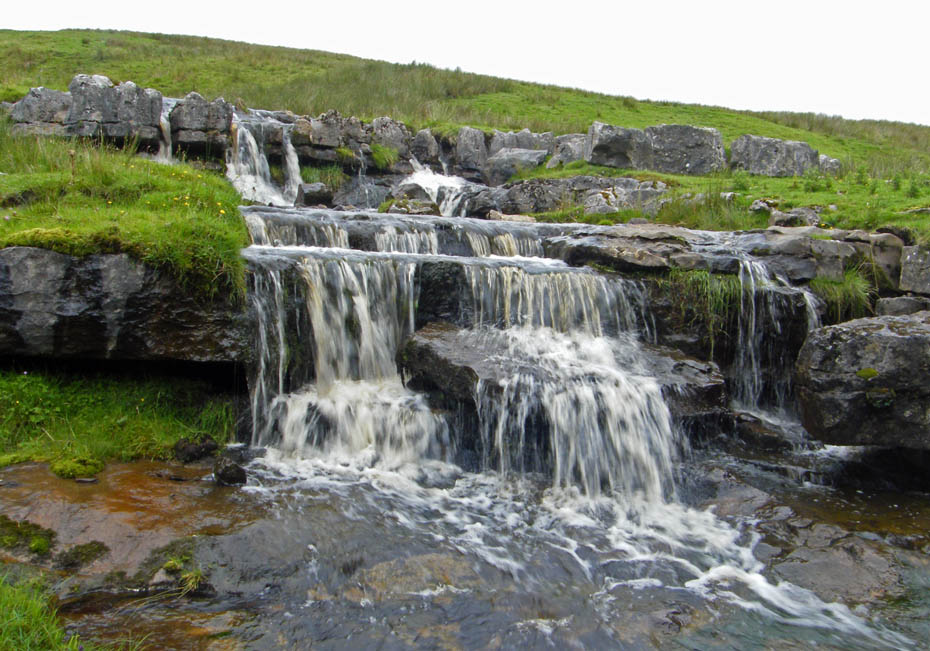
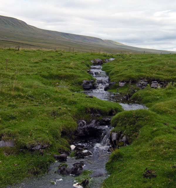
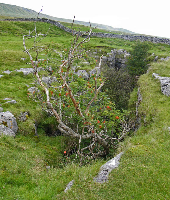
A small set of falls just above Yordas Wood.
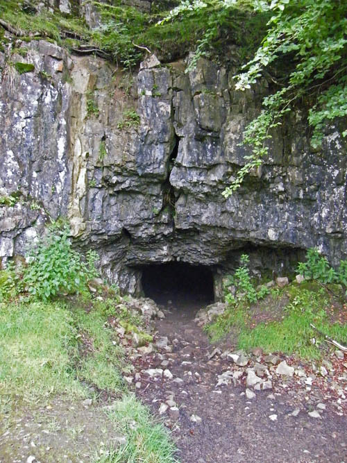
This is the entrance to Yordas Cave.....please note the cave is on private land so respect at all times. This was a popular showcave on the 19th Century tourist itinerary. I don't know why it closed (for paying guided tours, anyway – it's still fully accessible, for free), but the only visible remnant is a stone step at the entrance.
I had brought a torch with us but it wasn't much use when we got inside.
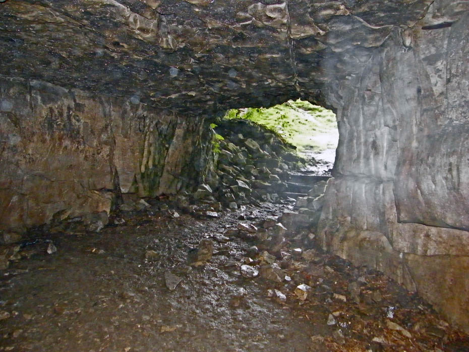
We could hear falling water further in the chamber but decided to venture no further on this occasion. Is that some ghostly apparition on the right?
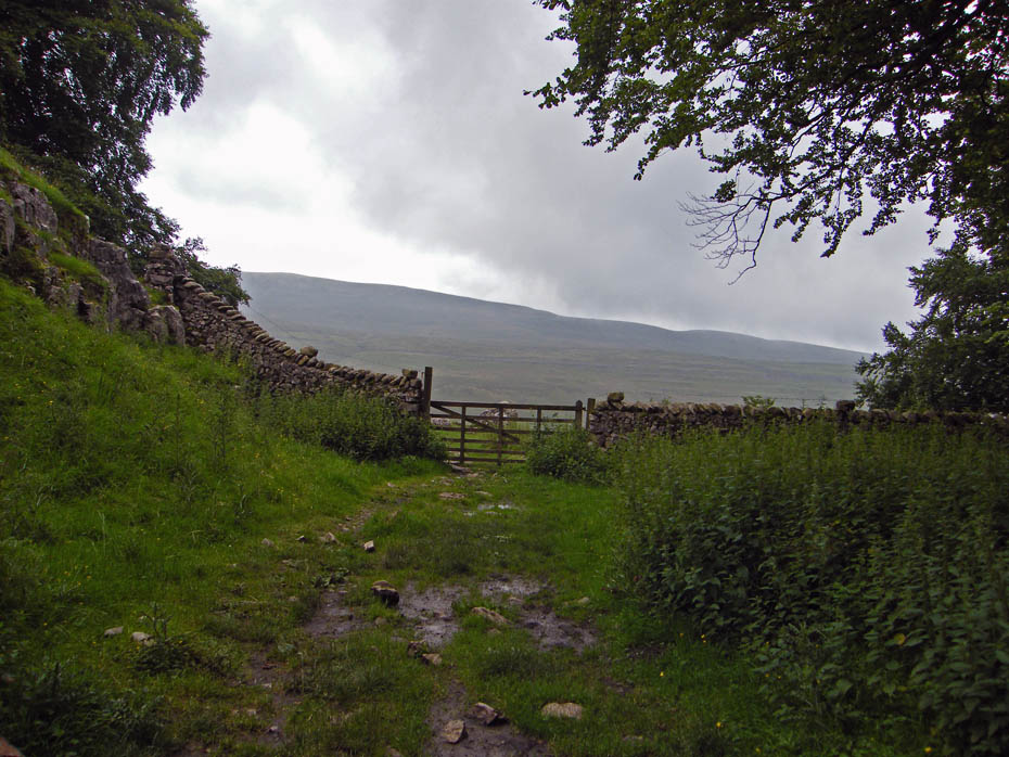
On leaving the cave we had to put the waterproofs on as the showers we saw earlier had reached us.
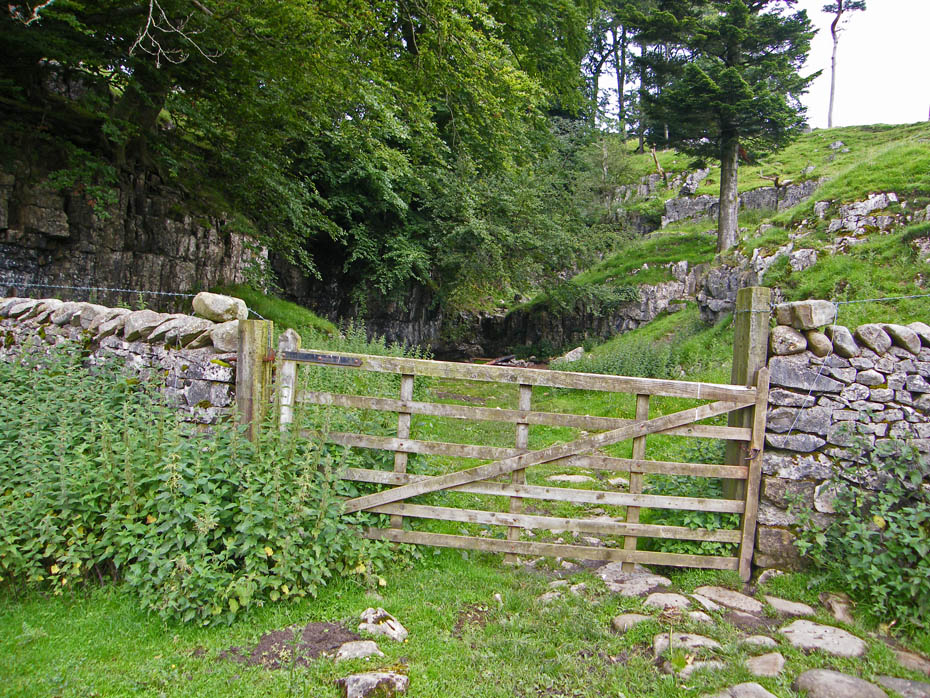
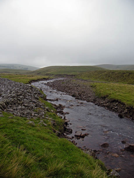
We crossed the road to make our way to Kingsdale Beck to follow it downstream.
The rain wasn't particularly heavy but it put paid to any views
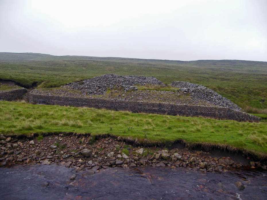
This ancient cairn is known as "Apron full of stones".....it and the area around it have been the subject of a number of excavations over the years.
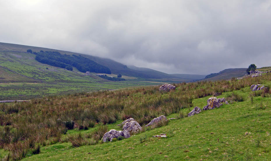
A look back up the valley and the day as closed in.
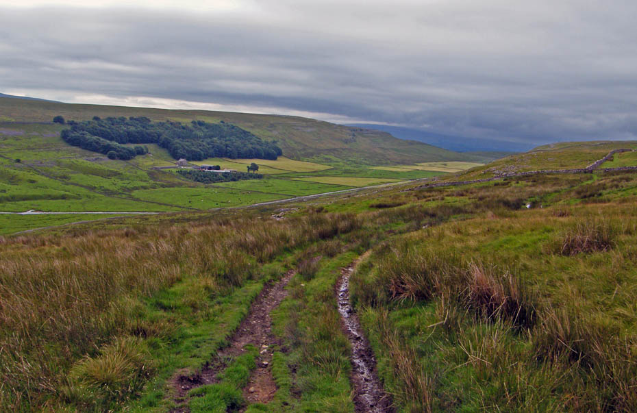
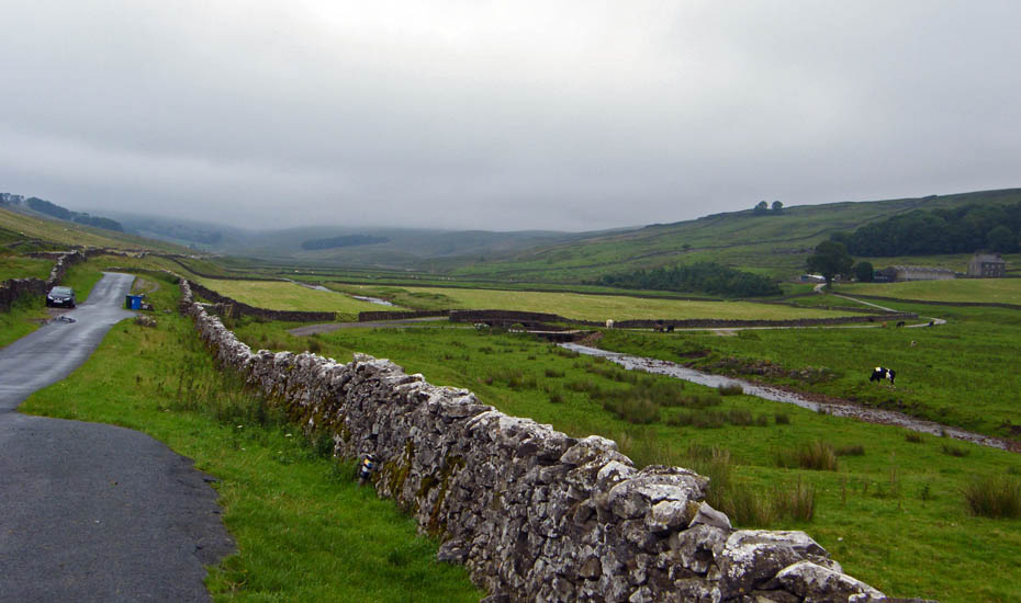
It had been our intention to take the path to Braida Garth and to Twistleton End but with little to see decided on the long road walk instead.
A little brightness to the south but it didn't last.
And finally....almost back to the car and looking over to Twistleton End. The little white blob on the lane to the right of the picture is the ice-cream van at the top of the Ingleton Waterfall walk.
Next Walk: 12th August 2010 - Arnside & Silverdale - Arnside Knott from Arnside.
Last Walk: 4th August 2010 - Arnside & Silverdale - Arnside Knott from Silverdale
Do you have a Facebook or Twitter account. We post regular updates on both. Just click on either of the links below.
![]()

We hope you have enjoyed viewing this walk. If you have any comments please sign our Guestbook or E_Mail us.
