| Area: | Local | Ascent: | N/A |
| Walk No: | 469 | Time: | 1hour 15minutes |
| Date: | 28th October 2010 | Parking: | Shore at Sunderland Point |
| Distance: | 2.00miles | Weather: | Fine with some sun |
| Route: |
For those of you that are thinking of going onto the hills I would strongly recommend that you read the advice given by the Mountain Rescue organisation of England and Wales. To read this advice, which will open in a new page please click HERE. If you would like to make a donation to the Mountain Rescue organisation which is purely voluntary please click HERE. Please make the time to read the advice page.
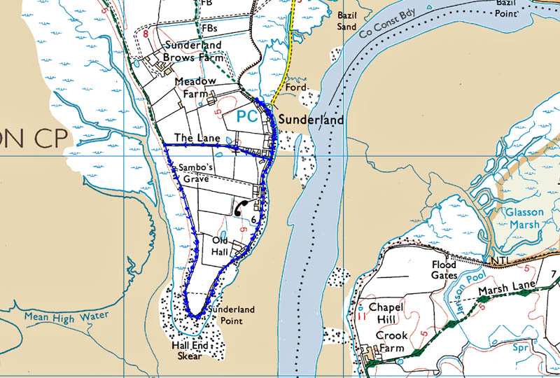
It was just a short local walk today on which we visited Sambo's Grave at Sunderland Point to give it a tidy up as winter approaches. After visiting the grave we walked around the point.
** Please note: If contemplating doing this walk check the tide tables first. The road to the parking place and the car park itself does flood at high water **
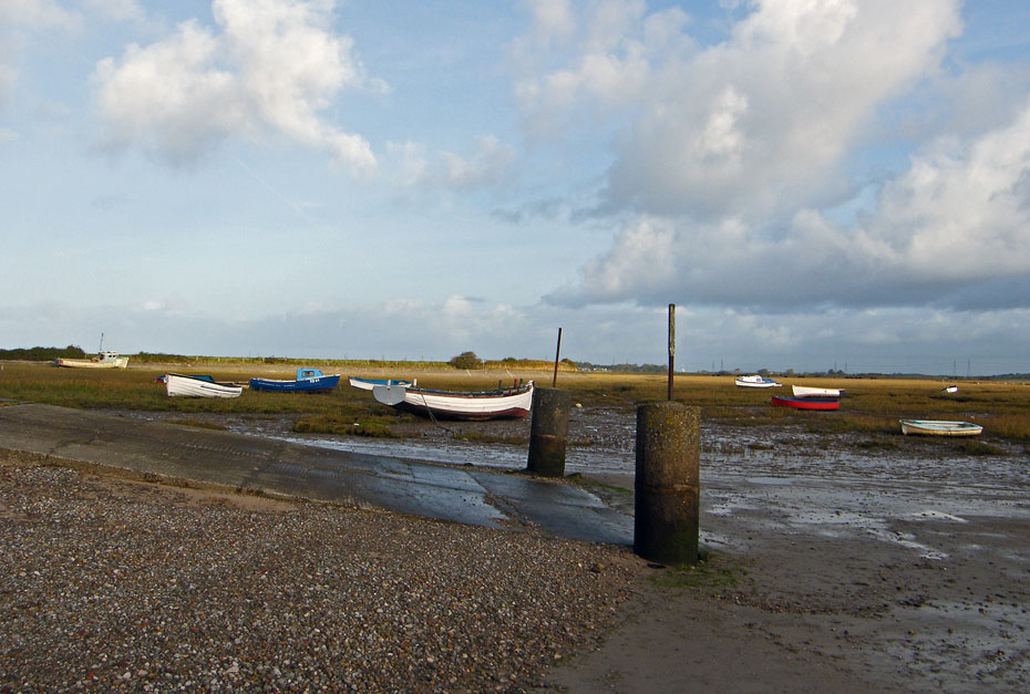
To the west and north of the parking place it was quite bright.
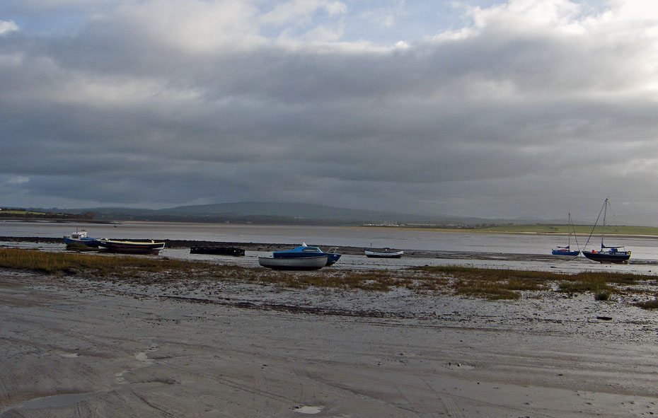
Across the River Lune to the east however it was grey and more overcast.
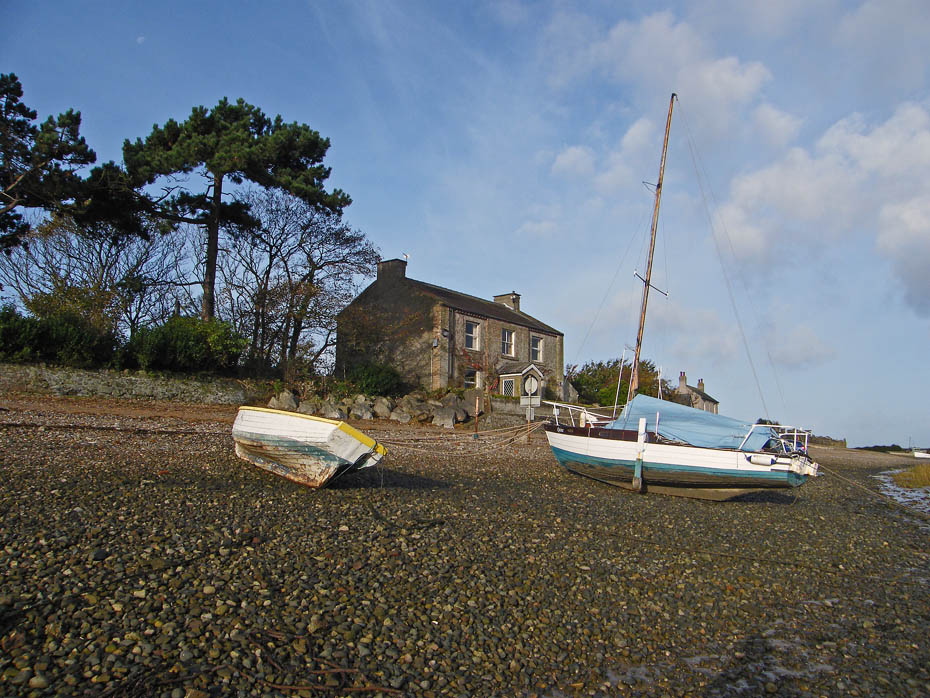
Fortunately we were in the sun as we walked towards First Terrace.
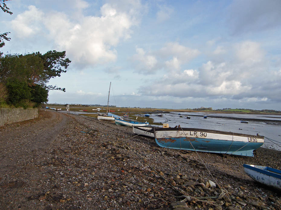
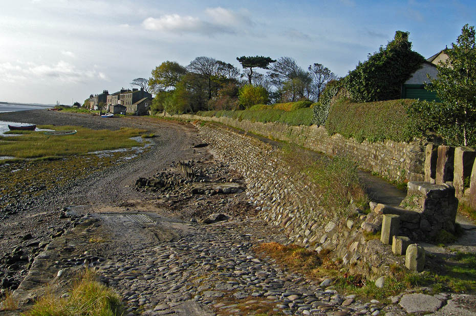
We are at the end of First Terrace looking towards Second Terrace. For those that live in that direction the "road" is along the beach.
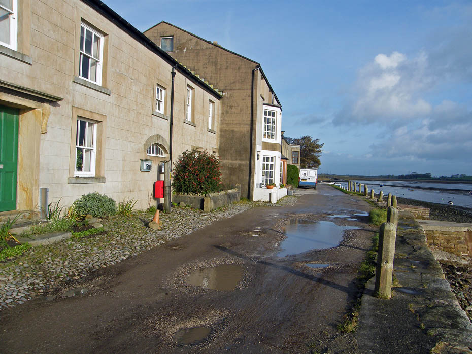
From the same point a look back at First Terrace.
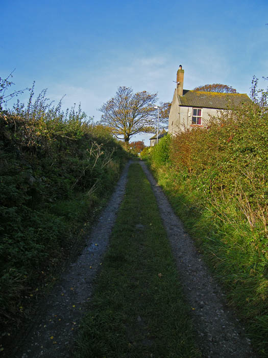
Our route however takes us to the right along the lane to the West Shore.
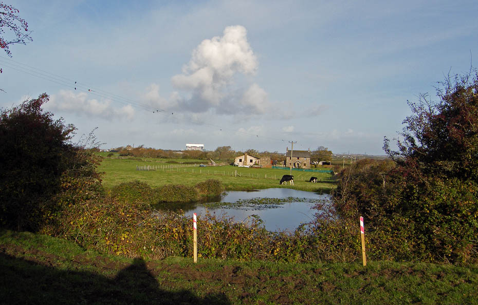
A look over to Meadow Farm.
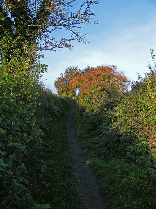
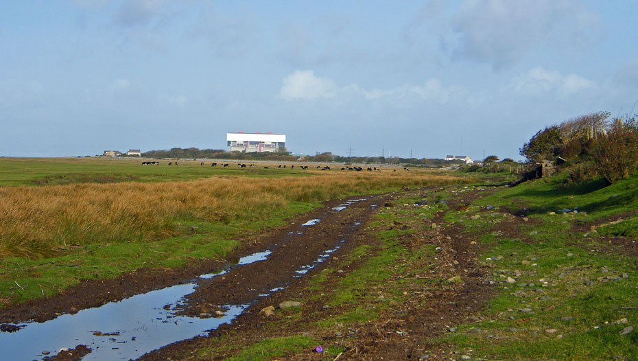
Arrival at the West Beach. If you were expecting golden sand I'm afraid you'll be disappointed. Once through the gate turn left and in a few yards...
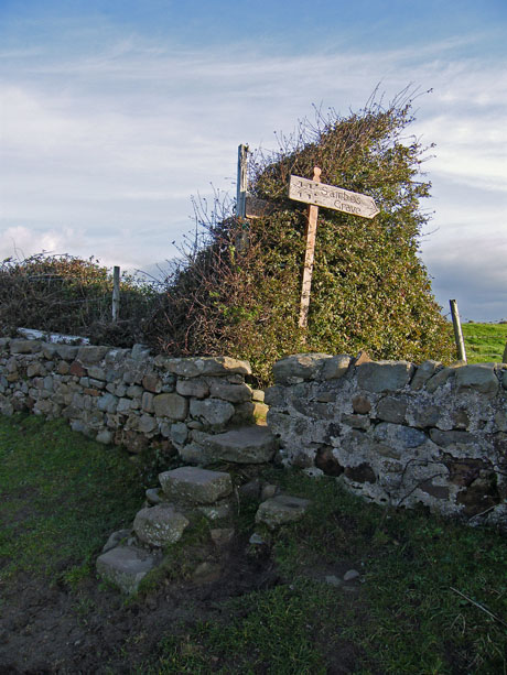
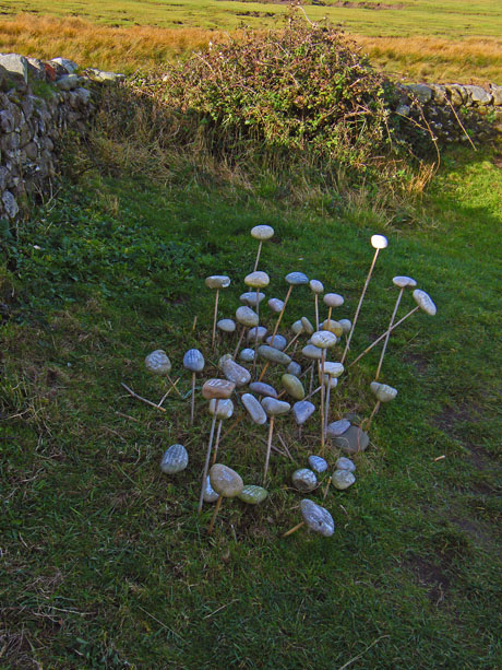
....you'll see the steps and fingerpost leading to the grave. (l)....The stones on sticks from the schoolchildren of Alston & Nenthead which were placed here in March 2009 are now starting to collapse. The string we tied them up with had slipped down. We tidied it up as best we could placing some of the stones on the grave and tieing the rest together.
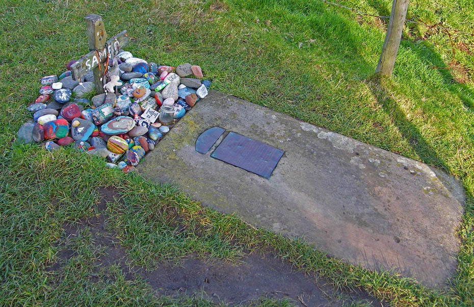
The grave however needed no attention.
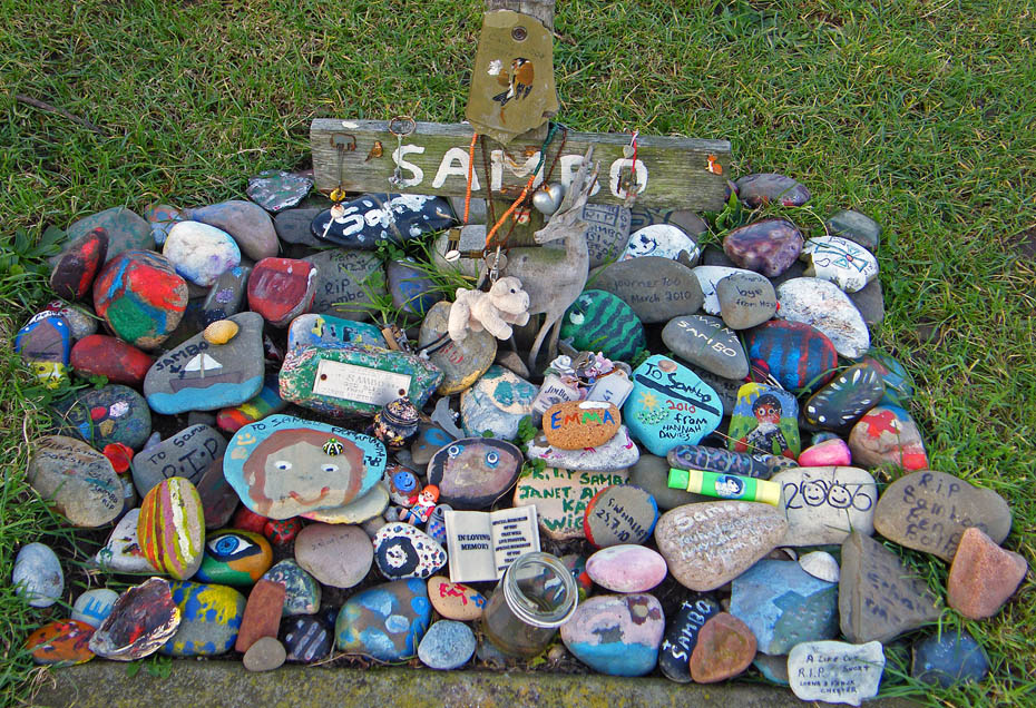
The area as increased in popularity since the "Secret Britain" program on TV in which the grave was featured.
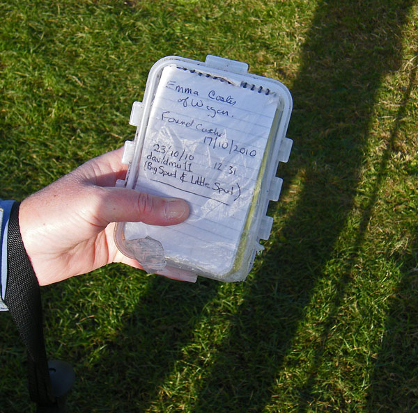
I haven't mentioned the "Visitor Book" before but I'm sure that nobody reading this would destroy it.
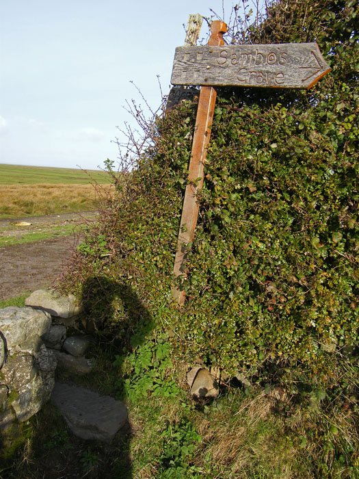
I won't say where it is located but those stones at the foot of the fingerpost might be a good starting point.
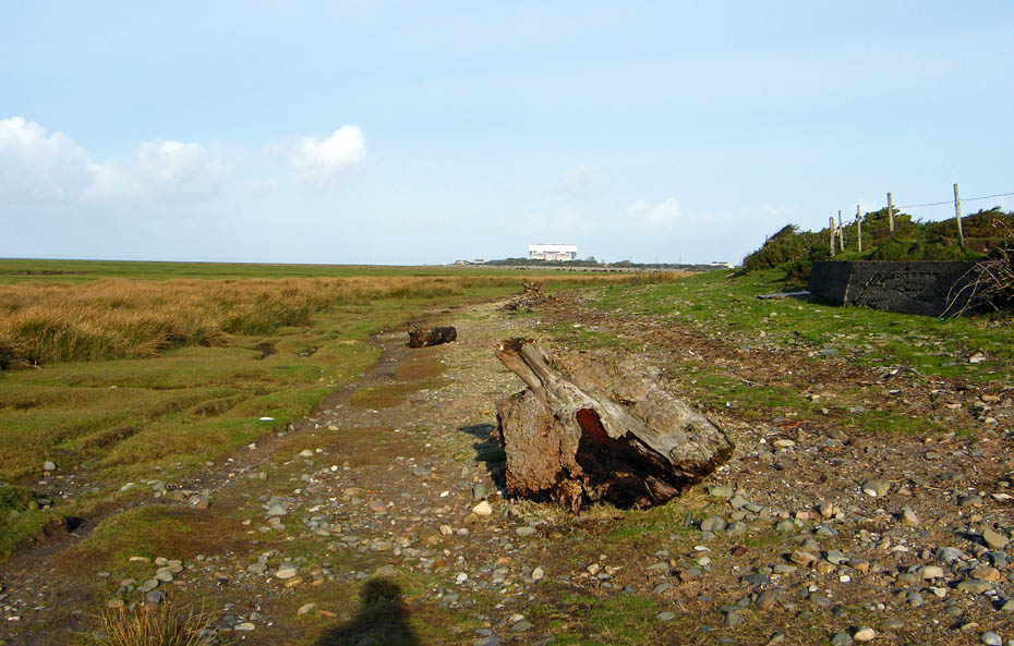
We left the grave to head south towards the point. Here we are looking back towards the power stations at Heysham.
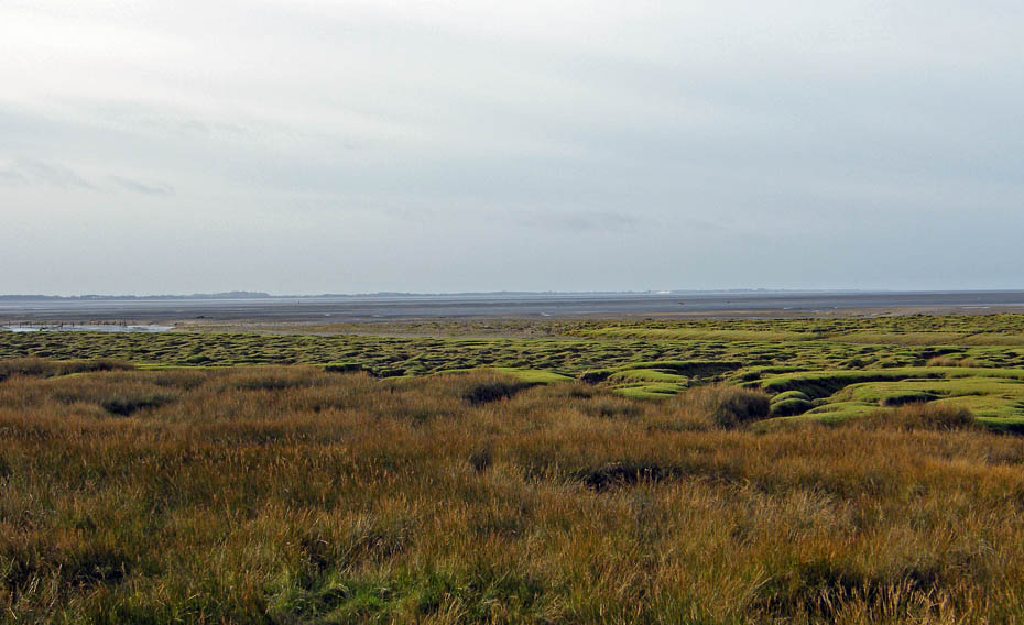
Looking over the salt marsh towards the Fylde coast.
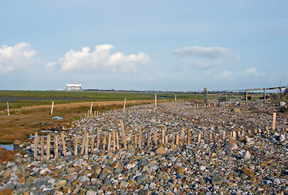
As we approach the point the way becomes more stony with the stakes of previous sea defences keeping them in place.
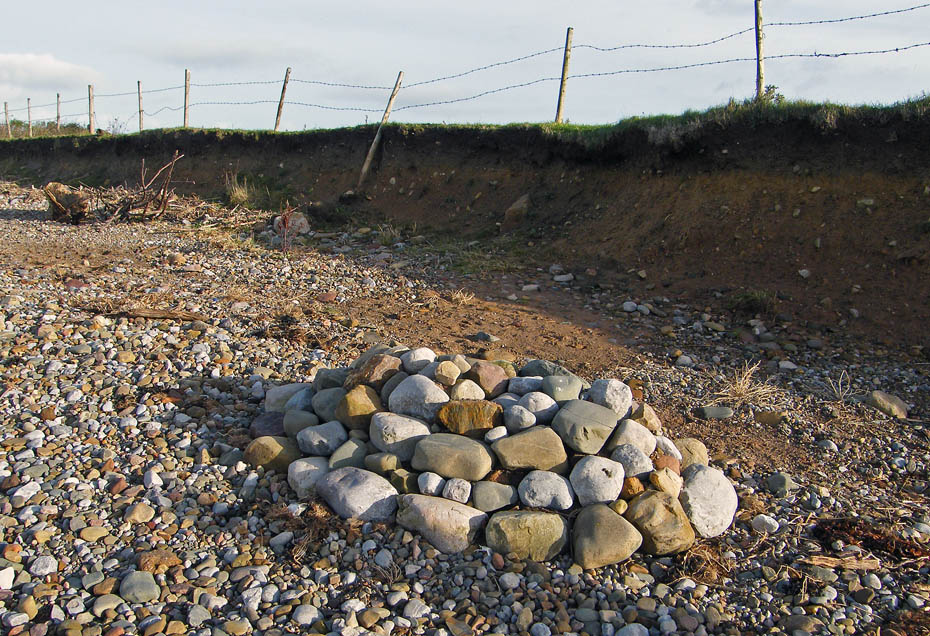
Now this wasn't here last time we passed. A rather well built cairn, but for what purpose?
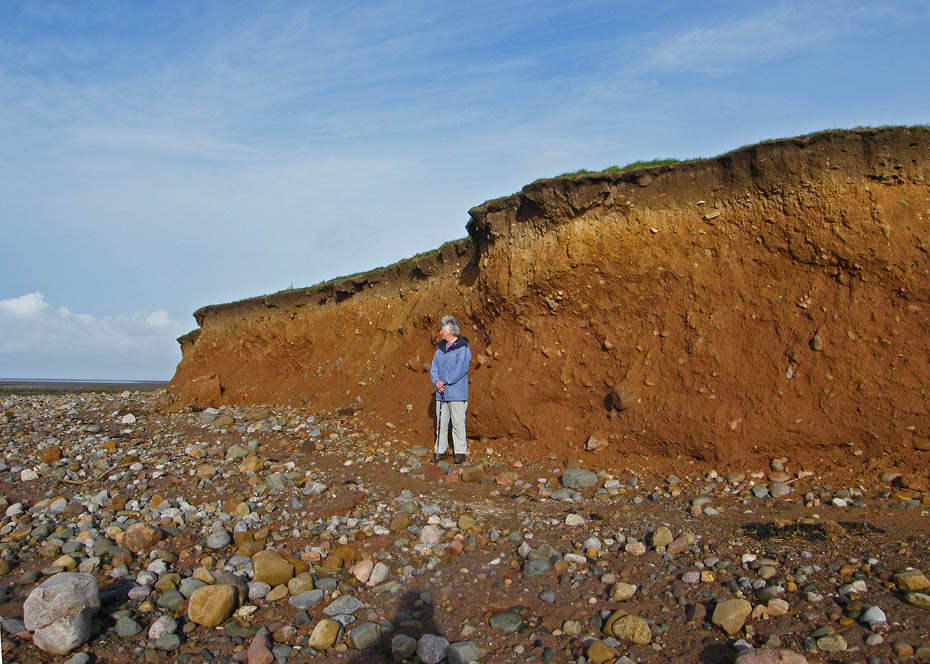
Edith stretches to her full height of 5'3" to give the eroded coastline some scale. I wonder if she had noticed that overhanging piece above her.
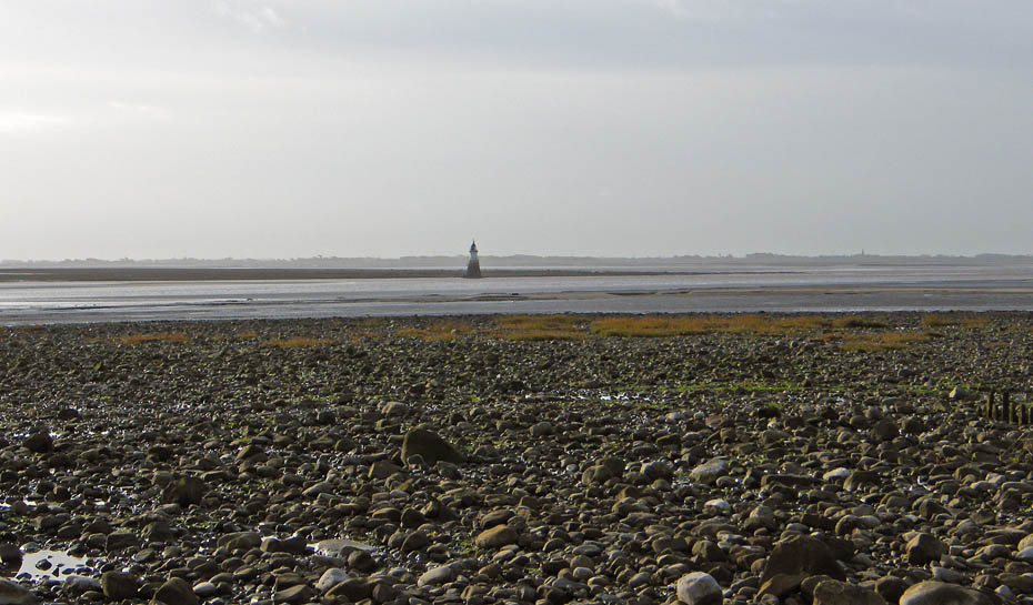
The Plover Scar lighthouse marks the entrance to the River Lune.
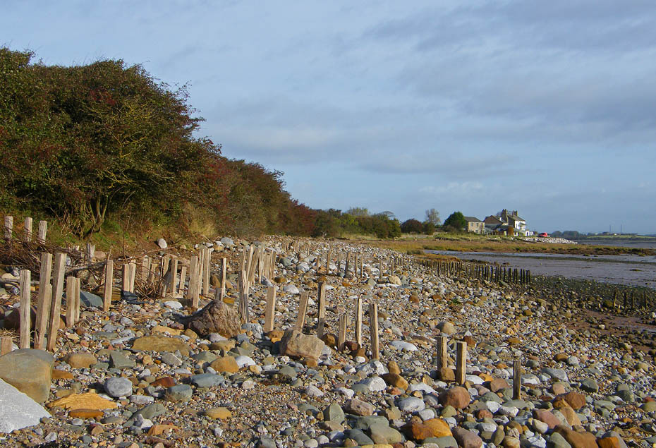
We are now round the point and making our way along the river side of the peninsula.
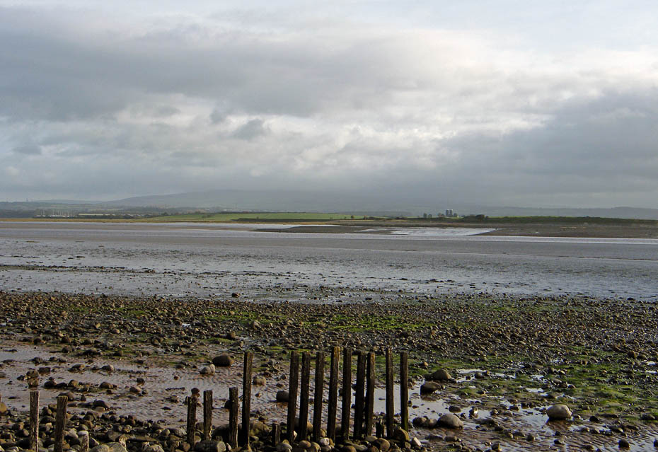
It is still rather dull across the river.
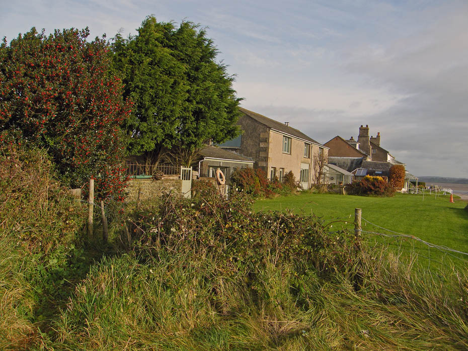
Known as the Old Hall I'm not sure of its history although I recall reading somewhere that it is on a medieval site.
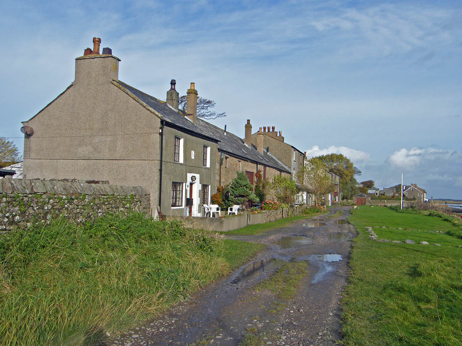
Second Terrace.
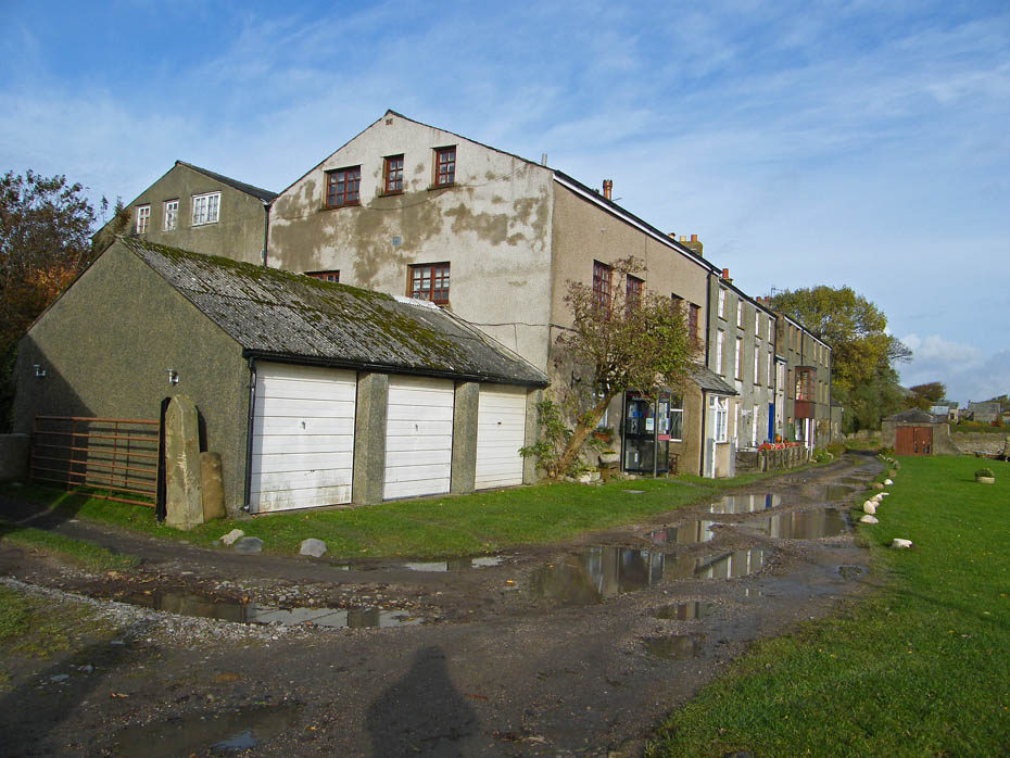
Second Terrace, Sunderland. It was along this stretch that the famous "Cotton Tree" grew. It was actually a Kapok tree but unfortunately on New Years Day 1998 in a fierce storm it was blown over.
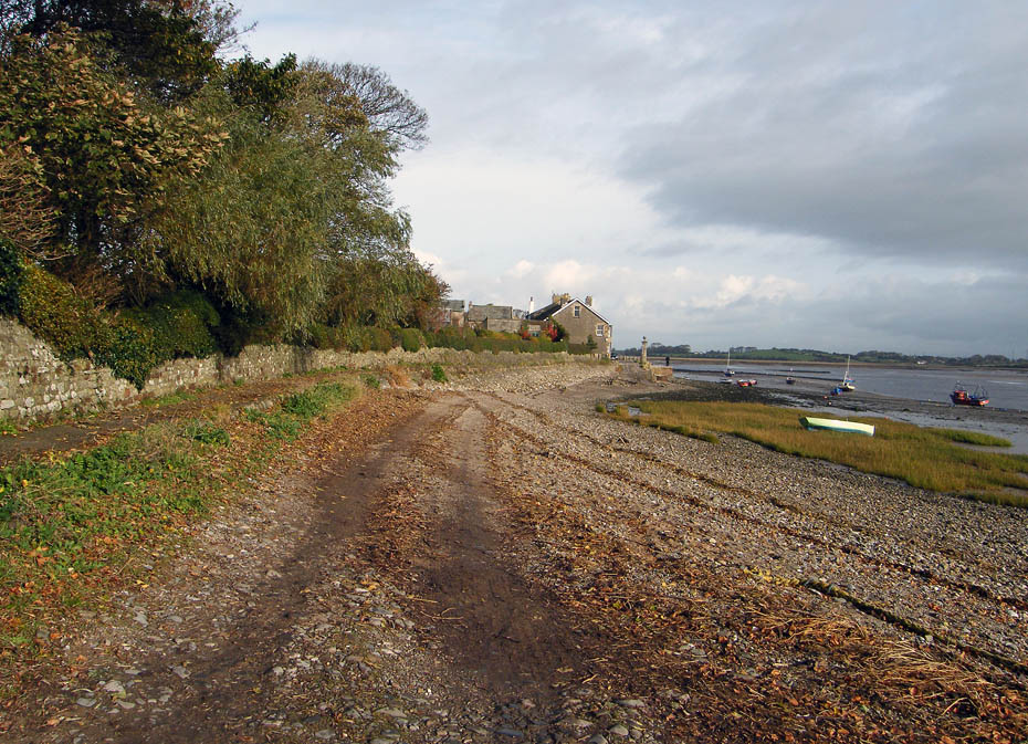
Walking along the "road" back to First Terrace.
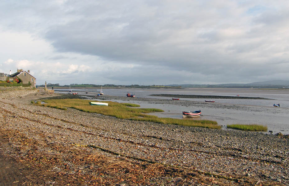
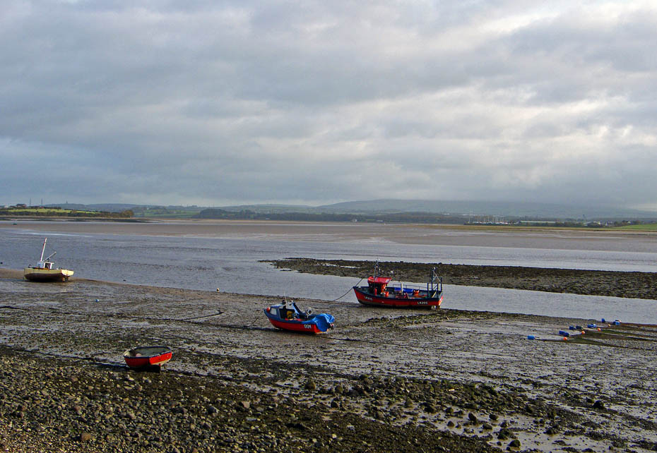
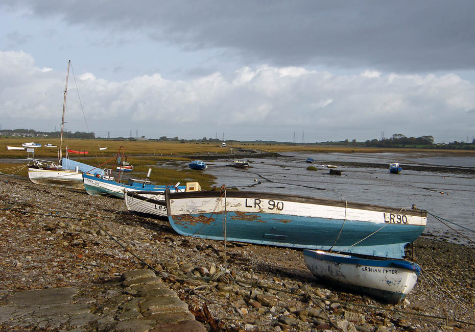
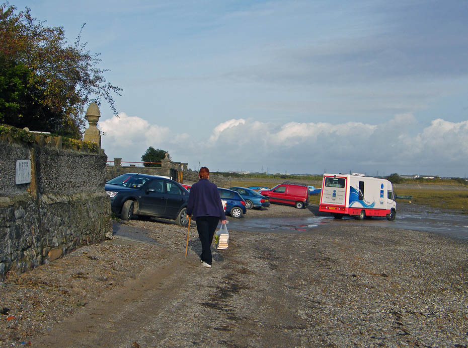
Back to the parking place and the Mobile Library as just arrived.
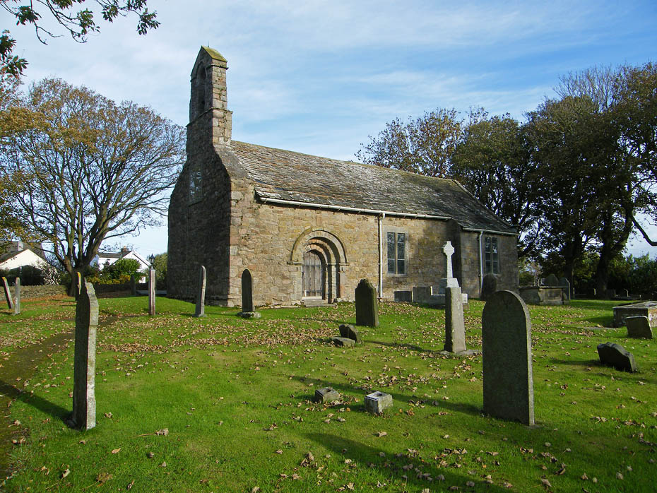
On our way home we called in at St Helen's Church, Overton where in February 1969 we were married.
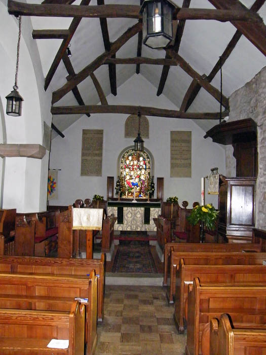
Whilst Edith checked that her parents grave was tidy I had a look inside.
Next Walk: 30th October 2010 - Lake District - Scout Scar from the Underbarrow Road
Last Walk: 25th October 2010 - Lake District - Friends Reunited in Lower Kentmere
Do you have a Facebook or Twitter account. We post regular updates on both. Just click on either of the links below.
We hope you have enjoyed viewing this walk. If you have any comments please sign our Guestbook or E_Mail us.