
| Area: | Arnside & Silverdale | Ascent: | 430feet |
| Walk No: | 503 | Time: | 3hours |
| Date: | 6th March 2011 | Parking: | Near Black Dyke railway crossing at Arnside (SD456781) |
| Distance: | 5.25miles | Weather: | Overcast at first becoming brighter |
| Route: |
For those of you that are thinking of going onto the hills I would strongly recommend that you read the advice given by the Mountain Rescue organisation of England and Wales. To read this advice, which will open in a new page please click HERE. If you would like to make a donation to the Mountain Rescue organisation which is purely voluntary please click HERE. Please make the time to read the advice page.
We had been intending to do this walk for some time but had delayed it until lambing time. We awoke to a fine bright morning and as Edith wanted to do some catching up in the garden on our return we set off from home just after 8:30. Unfortunately on the short journey to Arnside the weather altered and it was quite dull and overcast when we arrived. Fortunately it soon passed over and left us a fine bright day.
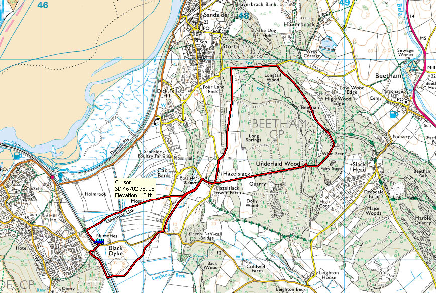
Route Map
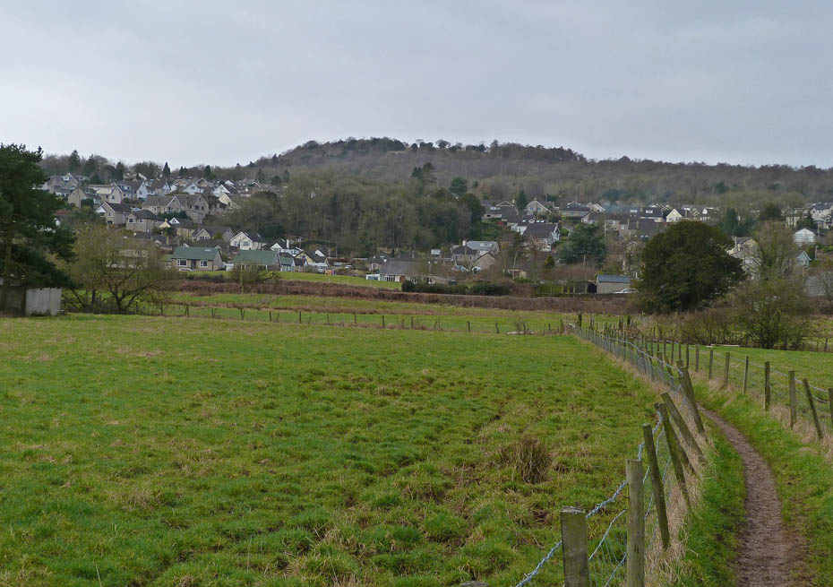
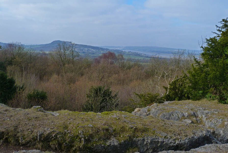
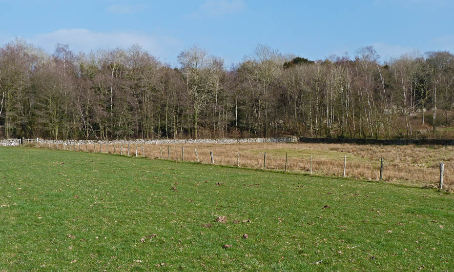
From our parking space at the recycling centre near the railway crossing it was only a short walk to pick up the path across the fields towards Hazelslack. A look back towards Arnside Knott here.
A close up of Beetham Fell.
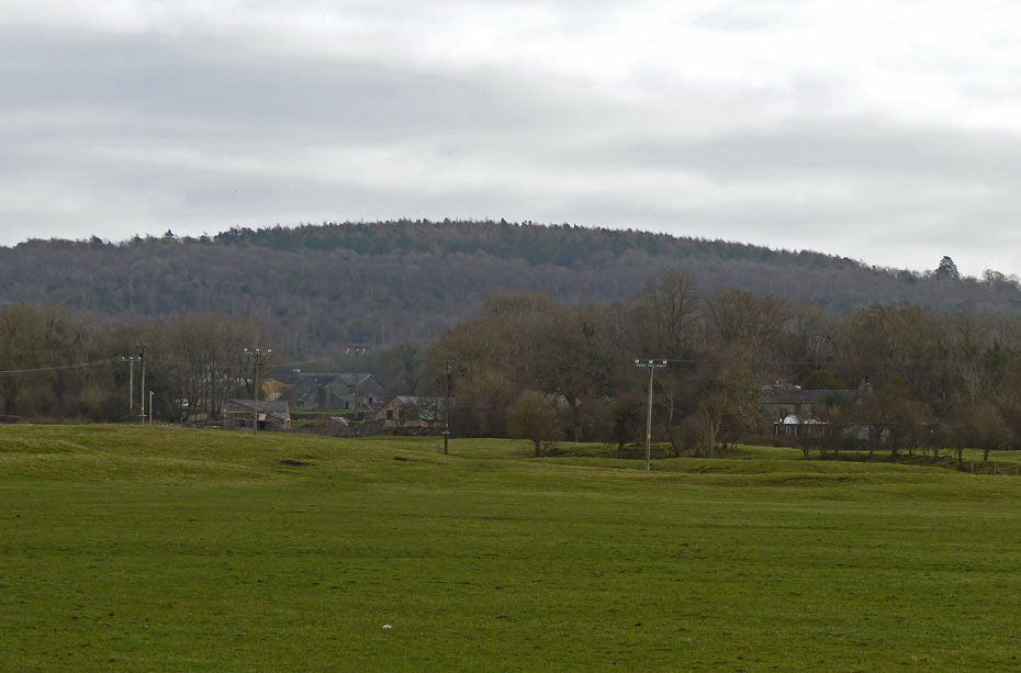
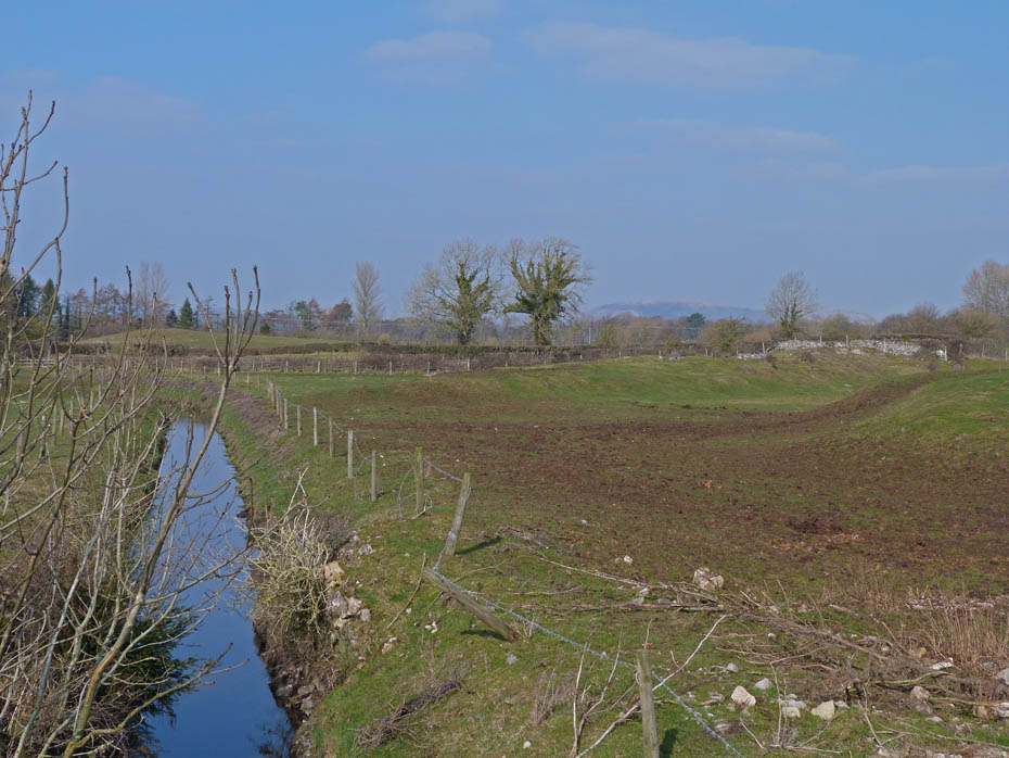
The low lying fields are criss-crossed with many drainage dykes.
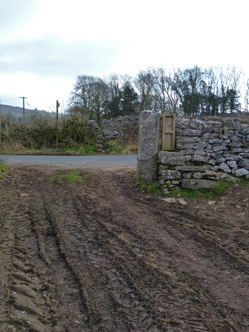
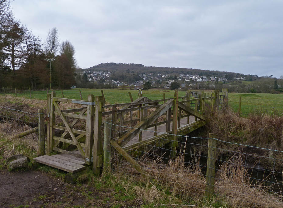
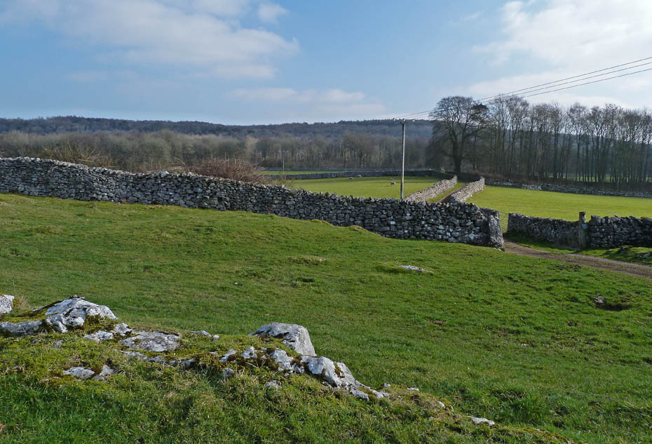
After crossing the fields the path crosses the road to the wall stile directly opposite.
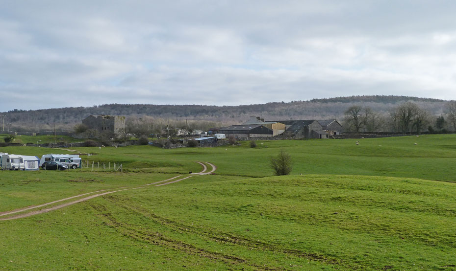
Looking down to Hazelslack Tower Farm and the day is starting to brighten.
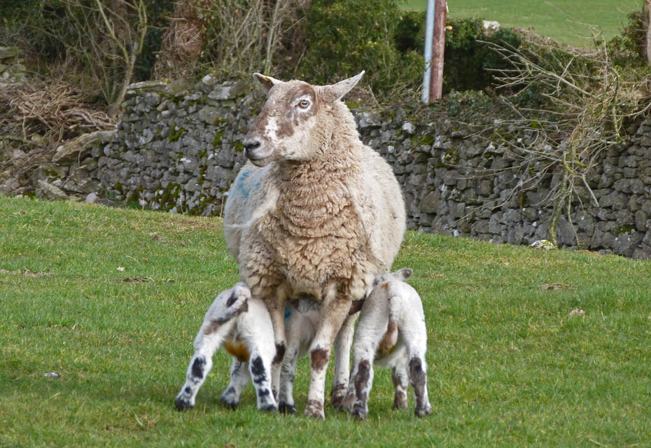
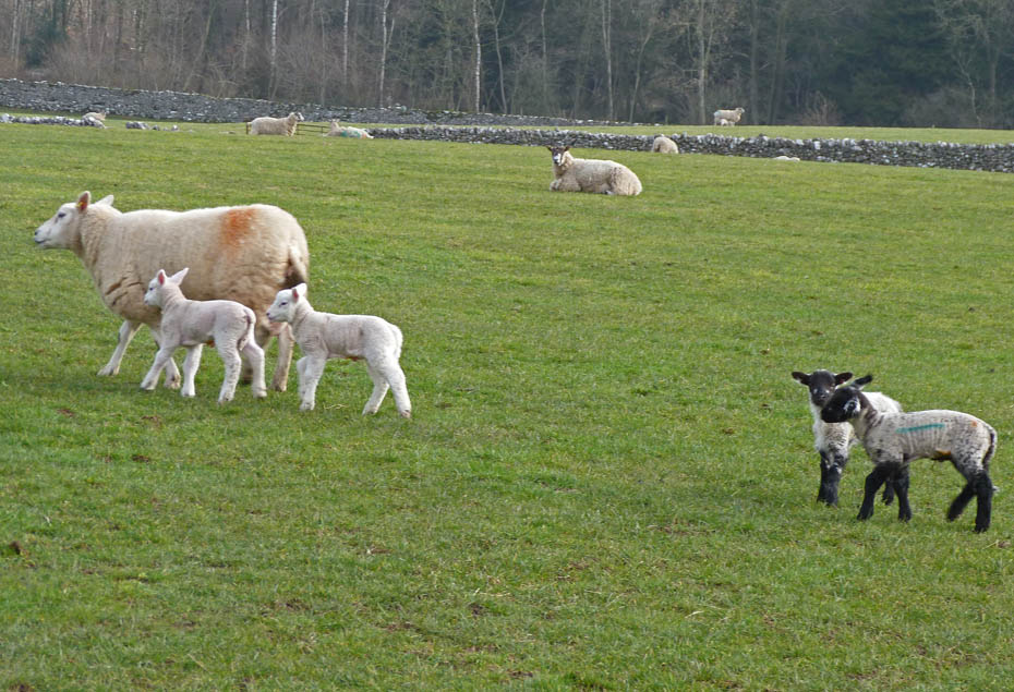
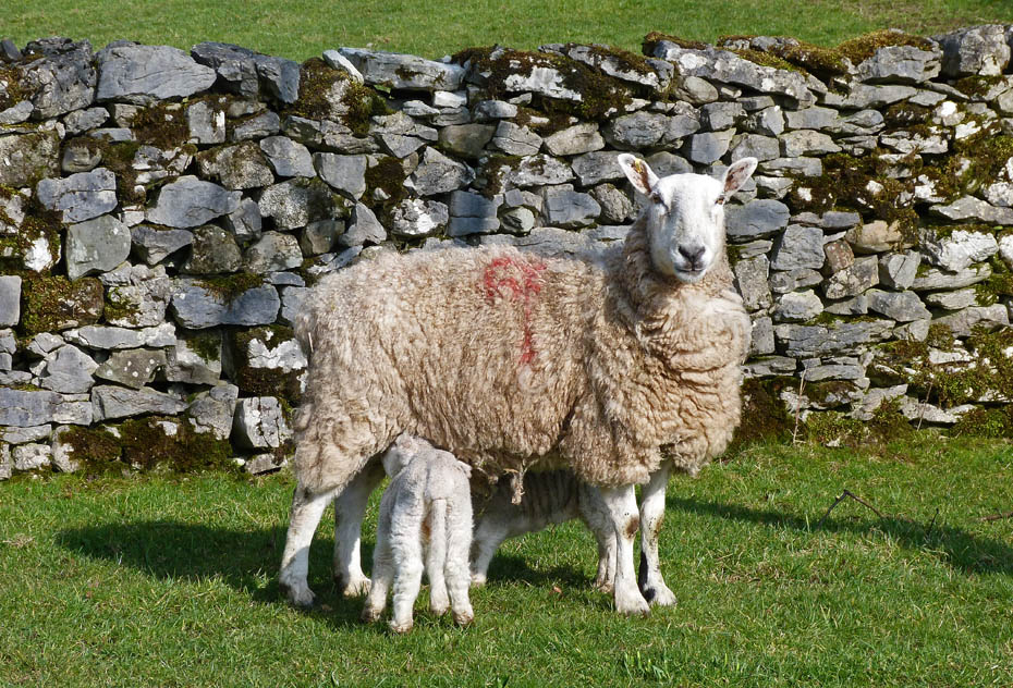
A mid-morning drink for two youngsters.....
.....until Mum decides she doesn't want an audience.
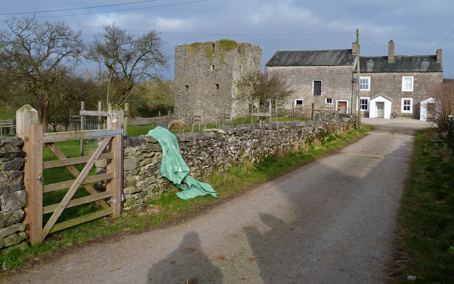
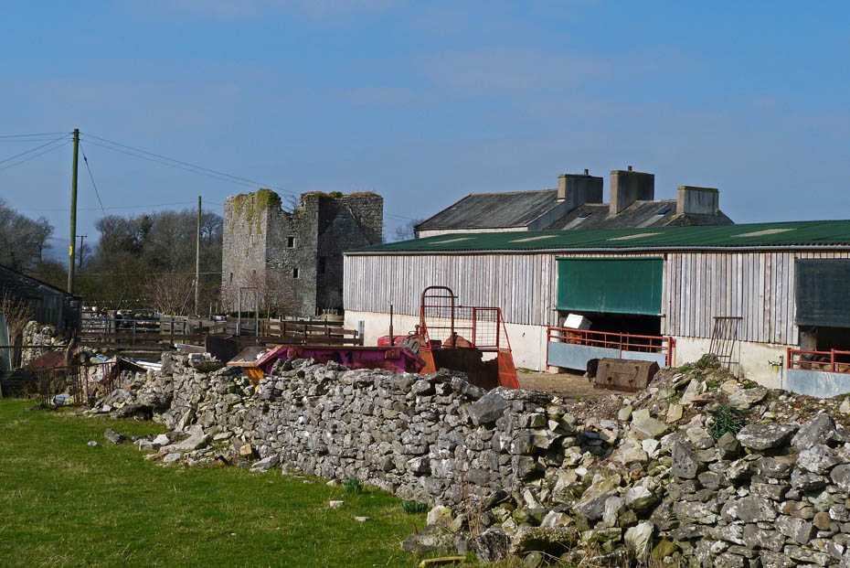
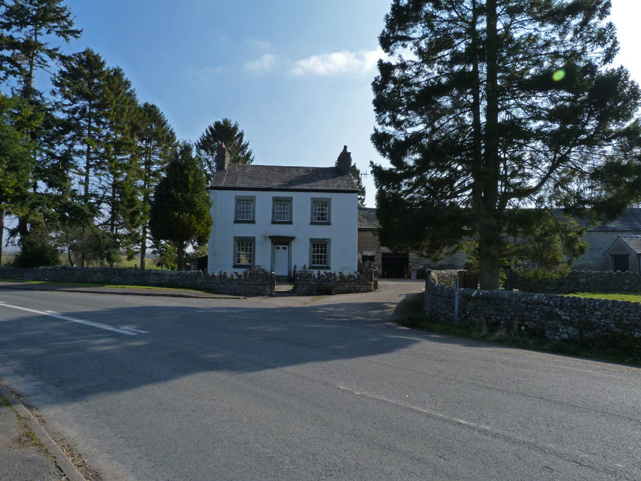
Hazelslack Tower Farm. The tower was probably built in the late 14th Century. Reputedly built by Lucy, Margaret and Katherine de Thweng. Together with their brother, Thomas de Thweng, they owned one quarter of the Barony of Kendal. The tower was built in conjunction with a tower at Dallam, now demolished and replaced with the great hall.
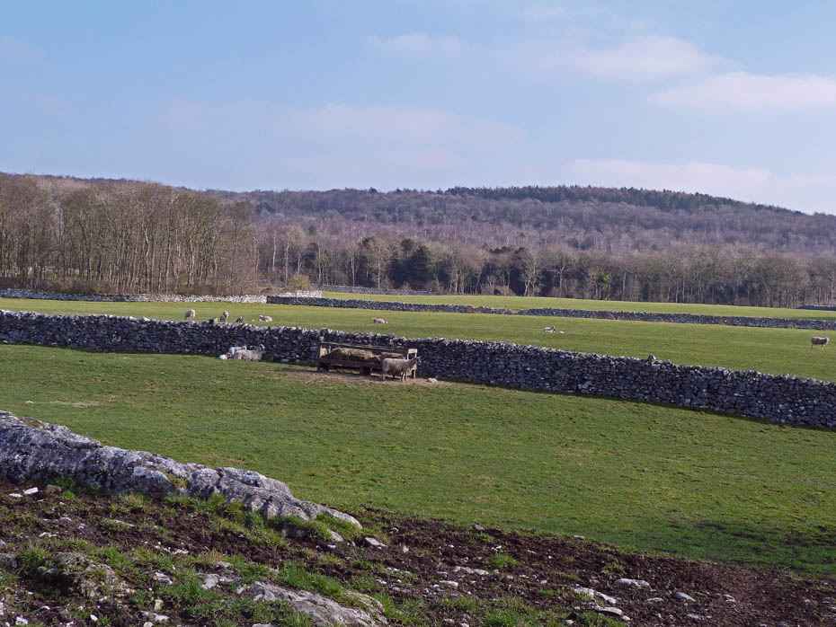
Walking past the farm our path carries on ahead towards Beetham Fell.
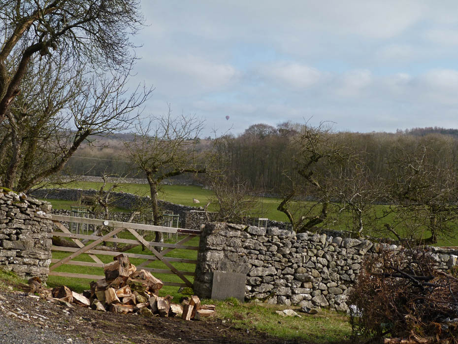
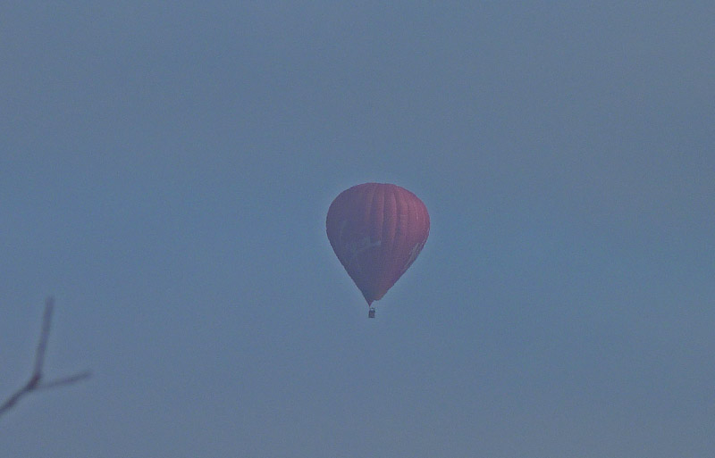
A brief glimpse of an hot air balloon over Beetham Fell.
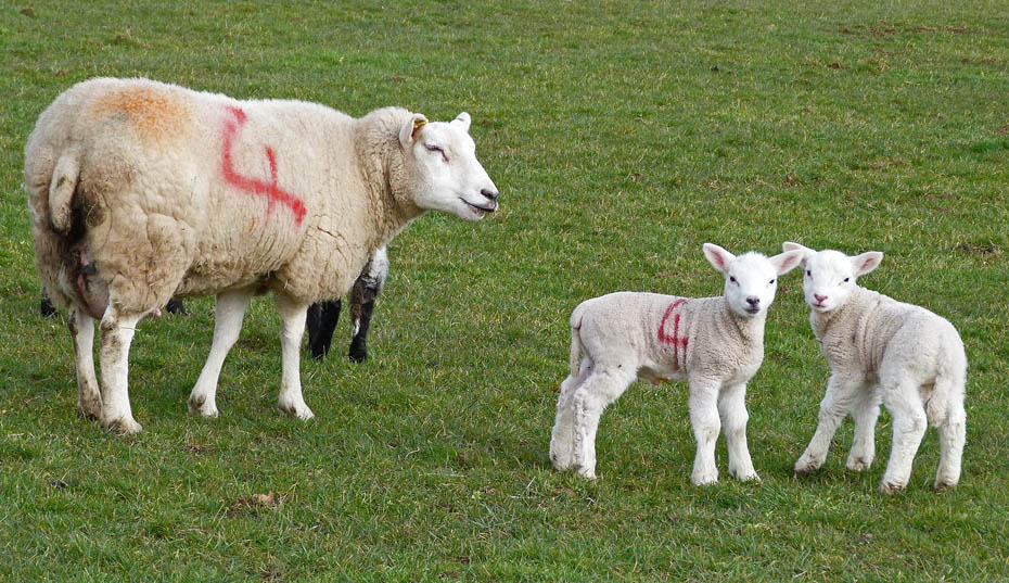
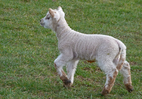
It's a busy time for the farmer, there are lots of the little chappies about.
" What's that bring he's pointing at us Mum? "
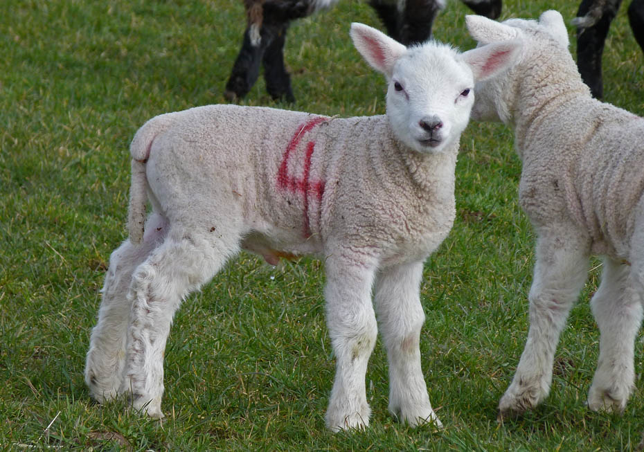
" Do you think I'm cute? "
There are lots of No.4 about
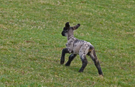
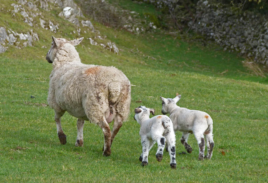
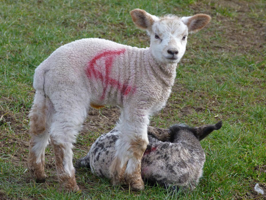
" I'm off " " Me to! "
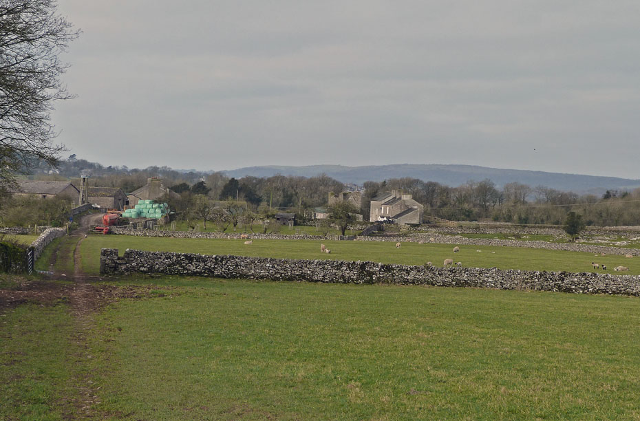
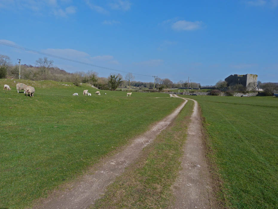
A look back towards the farm with the Outlying Fell of Hampsfell at Grange behind.
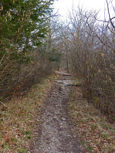
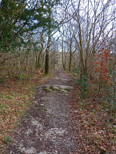
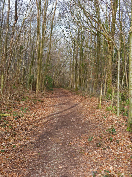
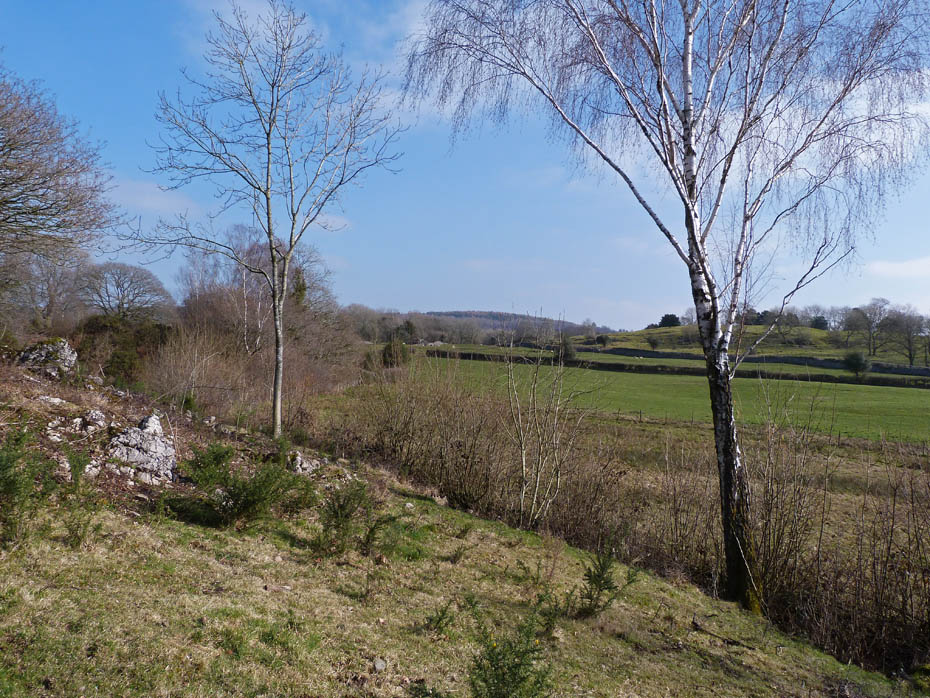
Next follows a walk through Underlaid Wood.
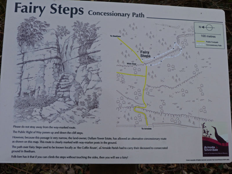
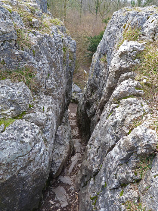
Until we reach the Fairy Steps. The passage up the Fairy Steps is great fun particularly for the youngsters, but it is not to everyone's liking. The limestone is quite polished and when wet can be quite slippy. For those wishing to avoid there is an alternative.
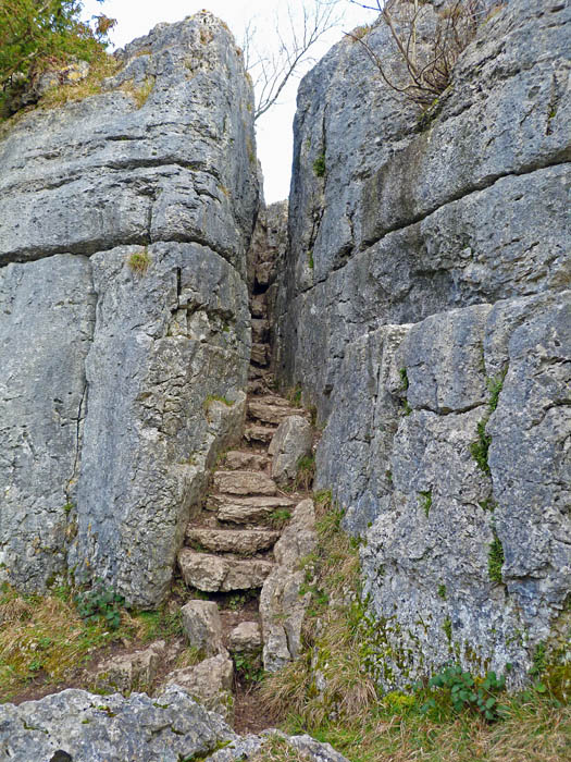
Fairy Steps....The steps are situated on one Lakeland's corpse trails, along which the coffins of those who died in more remote and inaccessible wildernesses of the neighbourhood, would be carried for burial in the nearby churchyard. The idea that pallbearers could manoeuvre a coffin up this cleft is hard to believe. If you can get up without touching the sides the fairies will grant you a wish.
I was under strict orders to take no embarrassing shots of Edith's ascent so you will have to do with a look down from near the top.
Looking towards Arnside Knott and Hampsfell from the top.
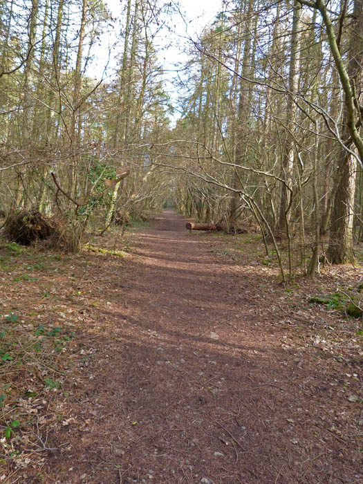
Next it was through the woods on Beetham Fell
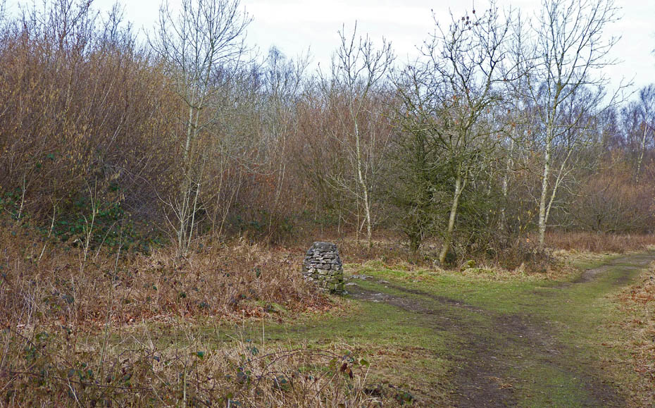
The cairn is a route marker. Our path is the one to the right.....
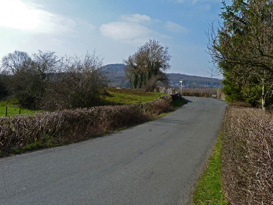
.....which eventually leads out onto the Storth - Beetham road which we followed down to pick up a path.....
.....back across the fields towards Hazelslack.
A short coffee break here sat on an outcrop of limestone.
Our path returned us to Hazelslack.....
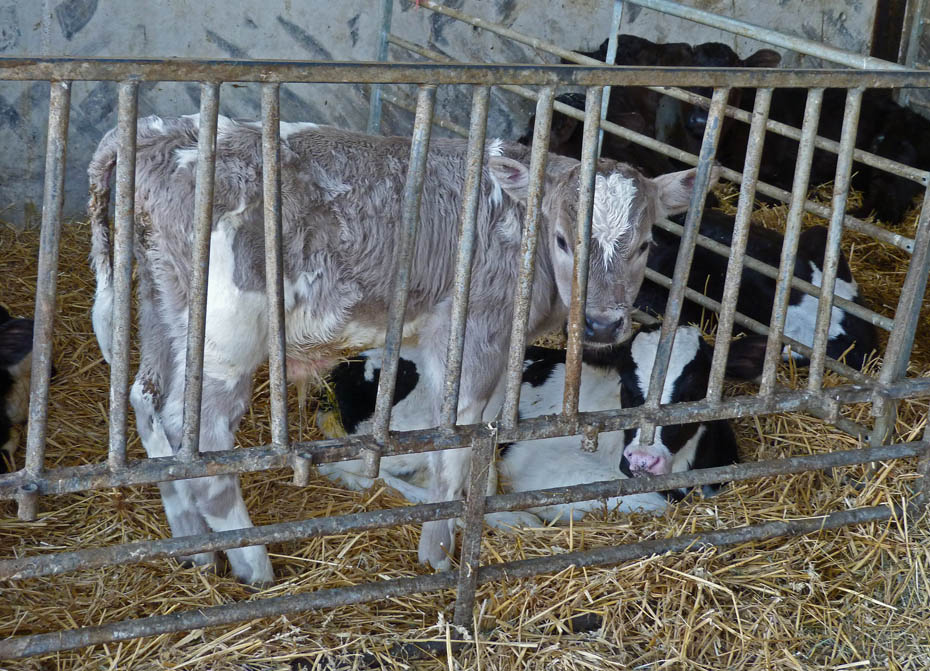
.....where we found these youngsters in the barn. I'm sure they would rather be out in the sun.
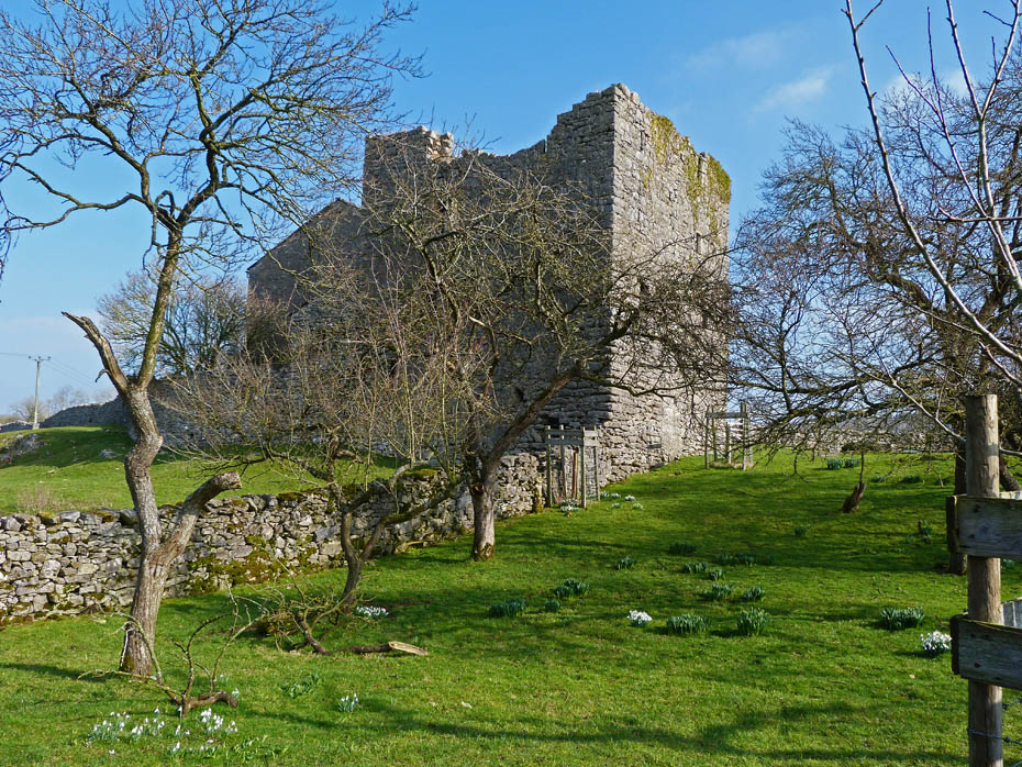
Hazelslack Tower.
Our route from the tower followed our outward route for a short distance. I'm not sure if this was the family we saw earlier.
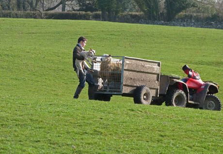
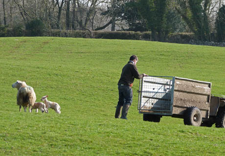
There was an almost continuous flow of lambs and ewes being brought from the barn to the field. Busy times indeed.
We have left the track of our outward route now so we don't have to cover the same ground twice.
Just a short road section from where we emerge to the next fingerpost ahead.
Another of the dykes
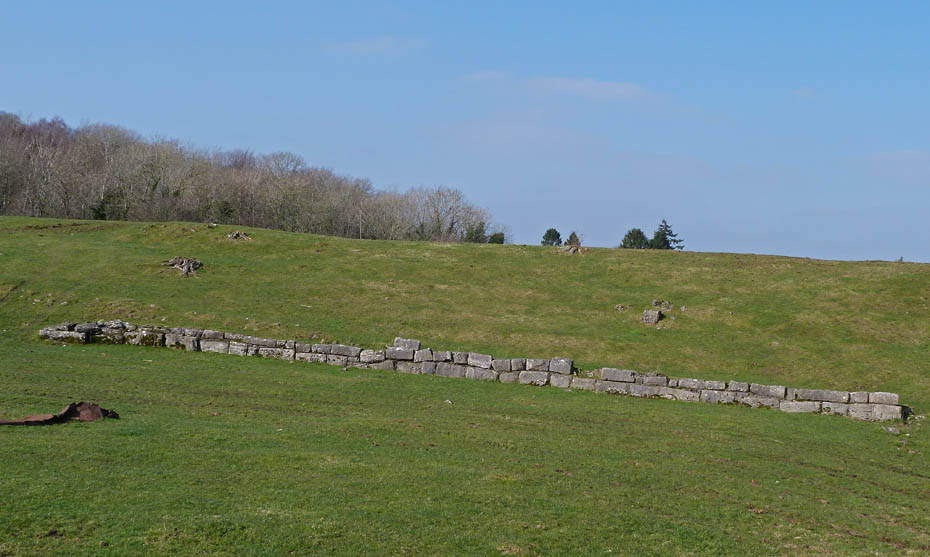
It's a few years since we were on this path and I had forgotten about these blocks. I'm not sure why they are here as they serve no apparent purpose....
27th Match 2011....I have
received an e_mail from a fellow walker familiar with these parts in which he
says "I believe the row of cut stone blocks are the remains of Arnsides
extensive salt industry, the area around Black Dyke is covered in salt pits, I
walked through them for many years oblivious to what they were." .....that's
good enough for me Carlo. Readers may like to take a look at Carlo's
website.....HERE
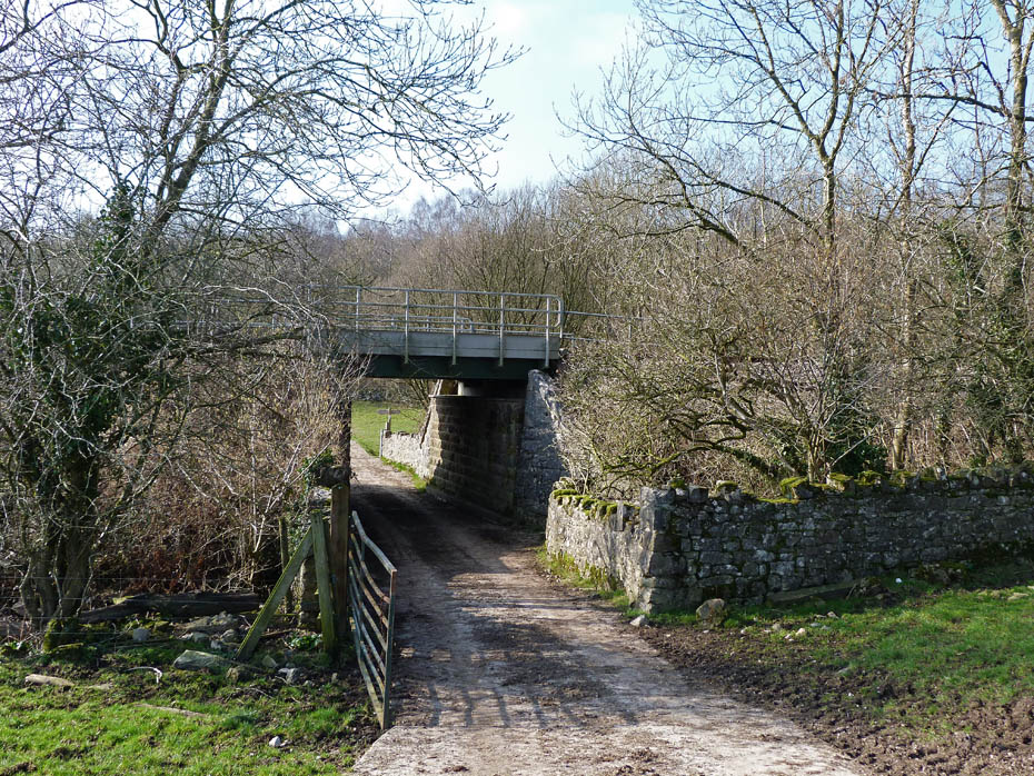
.....I can only think they were perhaps left over from the construction of the railway line nearby but I'm probably wrong. We will go under the line and then turn right......
....to follow a path at the side of the line towards Black Dyke.
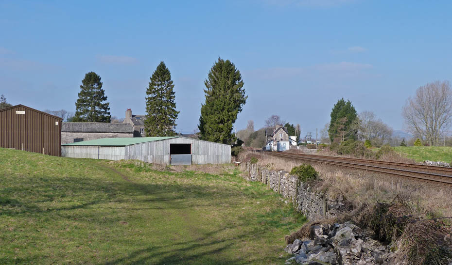
Having emerged onto the road all that remained was to.....
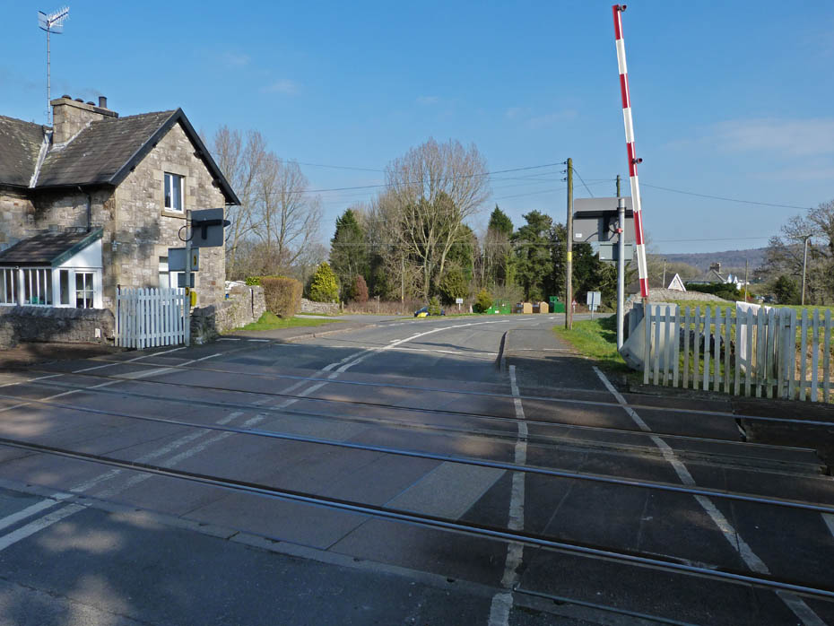
.....cross the railway lines back to the car at the recycling centre.
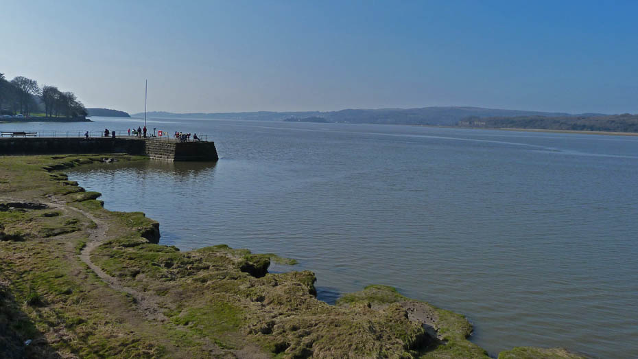
A change of footwear and it was off to Arnside for an ice-cream sat on the pier.
That's all folks!!!
Next Walk: 7th March 2011 - Lake District - Slip sliding away on Sale Fell
Last Walk: 4th March 2011 - Arnside & Silverdale AONB - Springtime at Silverdale.
Do you have a Facebook or Twitter account? We post regular updates on both plus some additional pictures. Just click on either of the links below and add us.
![]()

We hope you have enjoyed viewing this walk. If you have any comments please sign our Guestbook or E_Mail us.
