
| Area: | Lake District | Ascent: | 820feet |
| Walk No: | 609 | Time: | 3hours 15minutes |
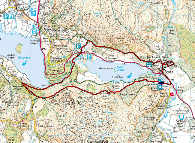
| Date: | 13th October 2011 | Parking: | Pelter Bridge, Rydal. |
| Distance: | 5miles | Weather: | Very dull and overcast but fine. |
For those of you that are thinking of going onto the hills I would strongly recommend that you read the advice given by the Mountain Rescue organisation of England and Wales. To read this advice, which will open in a new page please click HERE. If you would like to make a donation to the Mountain Rescue organisation which is purely voluntary please click HERE. Please make the time to read the advice page.
---------------------------------------------------------------
We were undecided where to go today. A drive along the promenade at Morecambe gave us no help either, there were no views across the bay to Lakeland and nothing to see towards Ingleborough. We decided to stay local and drove to the Crook O'Lune for a walk along the river. However on arrival it looked as dull as sin so more in frustration I headed for the Lakes and to Rydal in the hope that the day would improve. Here are the results.
There were only very hazy and dull views across the bay and nowt much towards Ingleborough so we set off for the Crook O'Lune, however when we got there it was very dull up the Lune Valley so another change of plans and off towards Rydal we went.
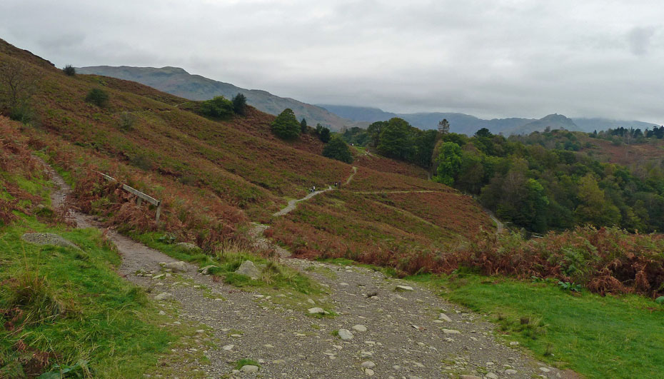
Having parked up at Pelter Bridge we made our way up the lane towards Rydal Water.
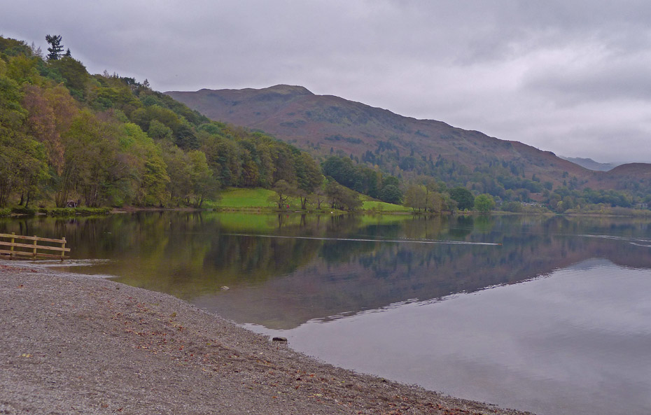
It wasn't the brightest of days and not the clearest of views but many folk would give a lot to be able to be here and at least it is fine.
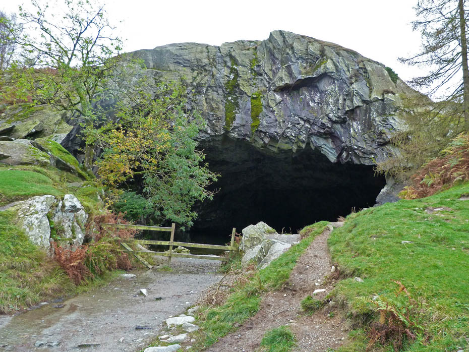
A short walk along the permissive path soon took us to what is commonly known as Loughrigg Cave. You can go inside but do so at your own risk as there have been fairly recent rock falls inside.
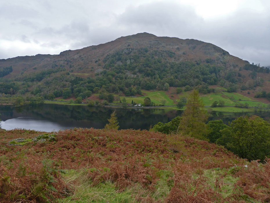
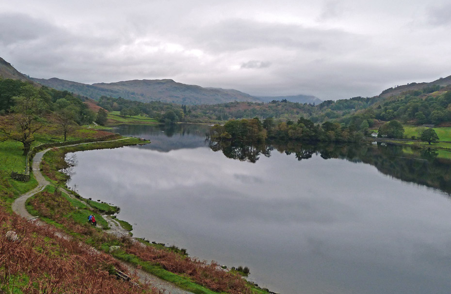
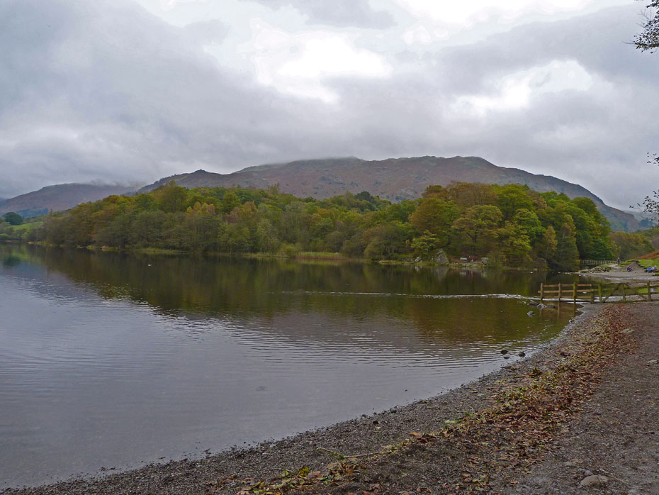
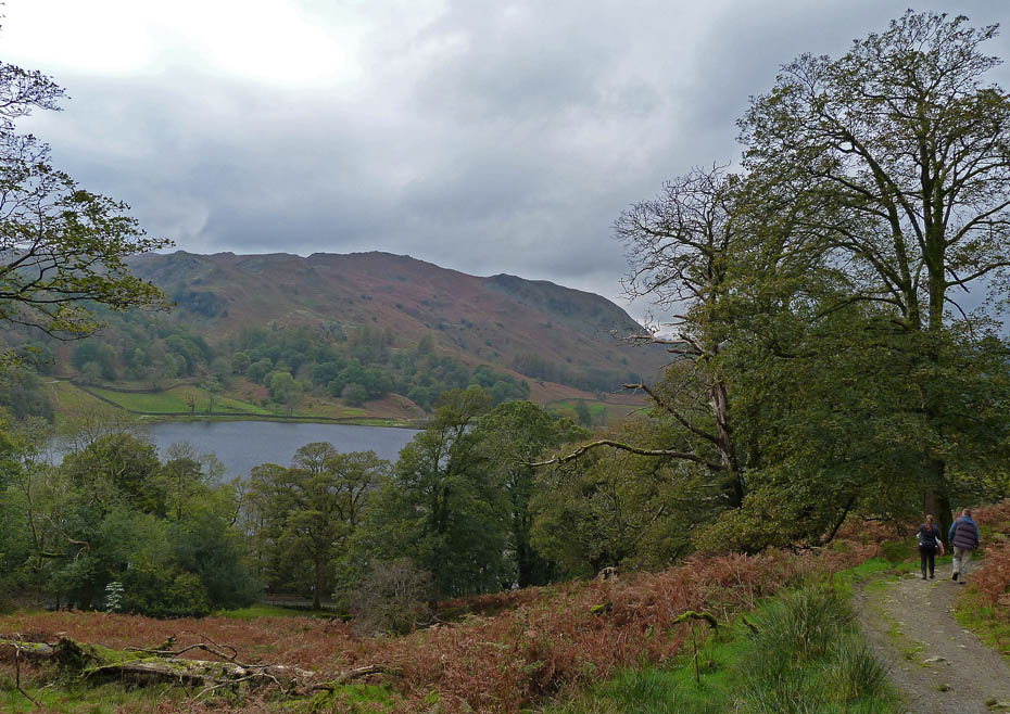
Looking over Rydal Water to Nab Scar.
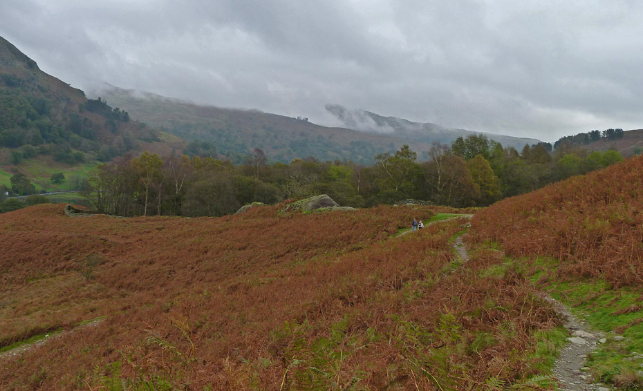
Despite the dull day there were still quite a few folk about as we set off along the " Terrace Route" with Silver How ahead.
Helm Crag peeks over White Moss Common as we progress.
A left turn to keep to the higher path and perhaps it's brightening just a bit.
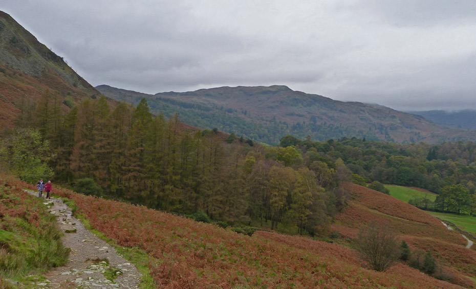
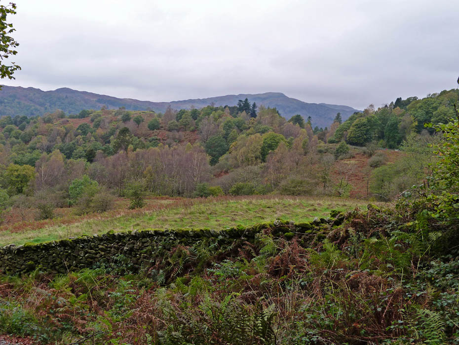
Behind us the clouds are brushing the Low Pike and Red Screes ridges.
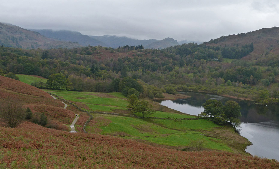
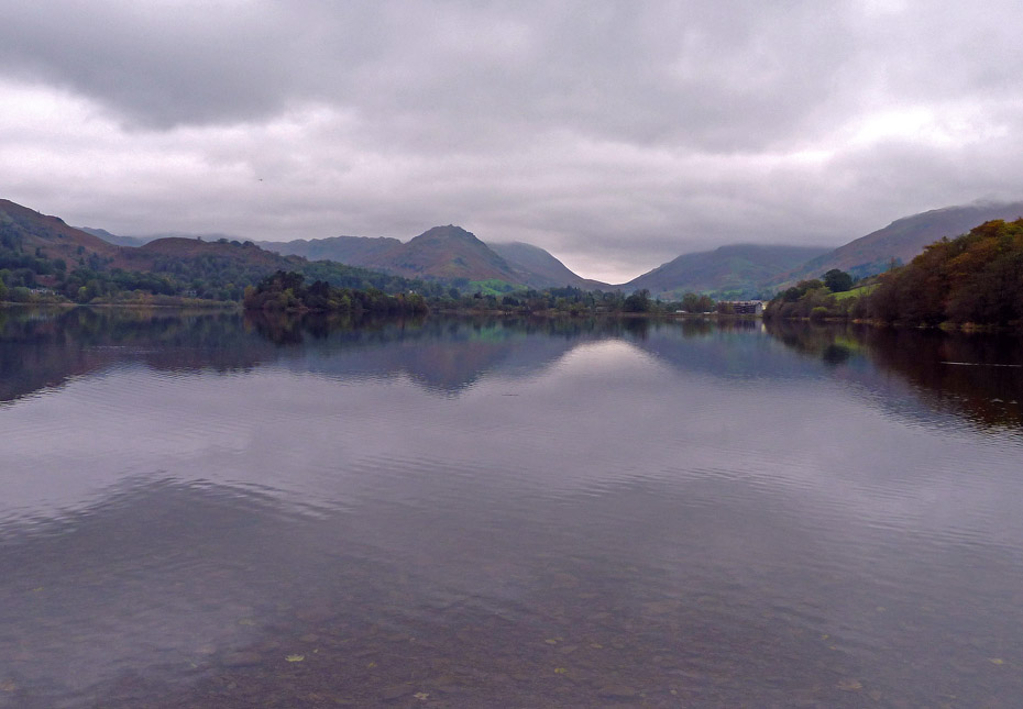
The still waters of Grasmere come into view as we continue along the Terrace Route.
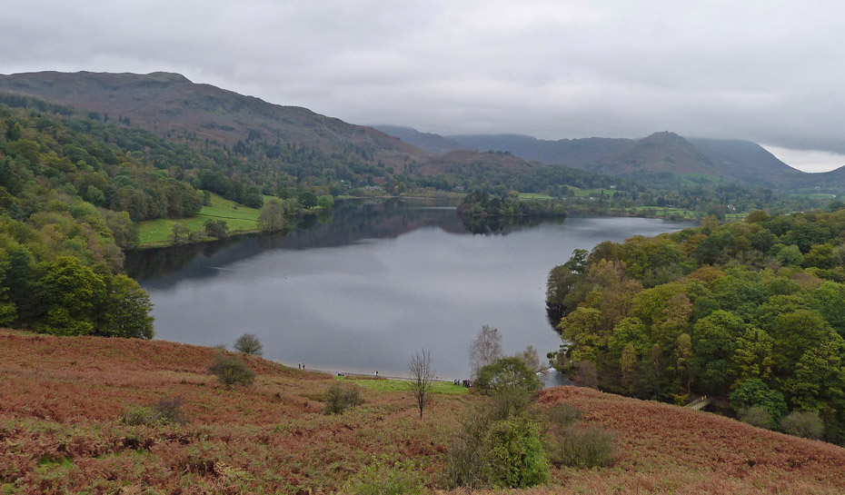
Even on a dull day it is a view to lift the spirits.
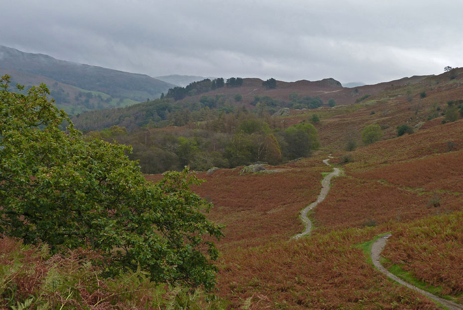
We continued to the end of the path and then....
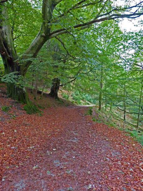
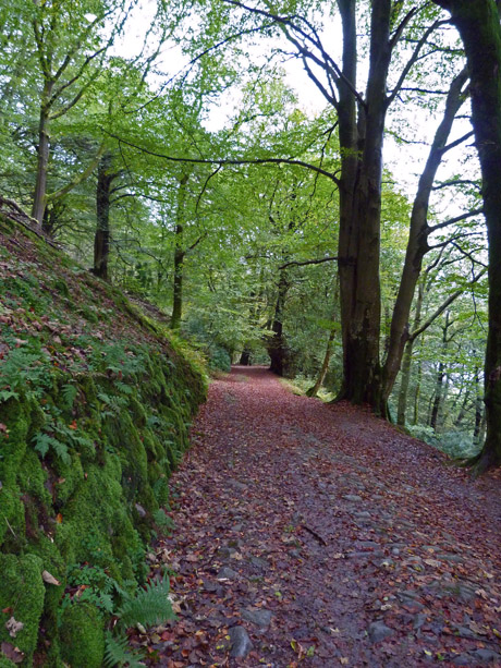
....took the zigzag path down through the woods to the lakeside.
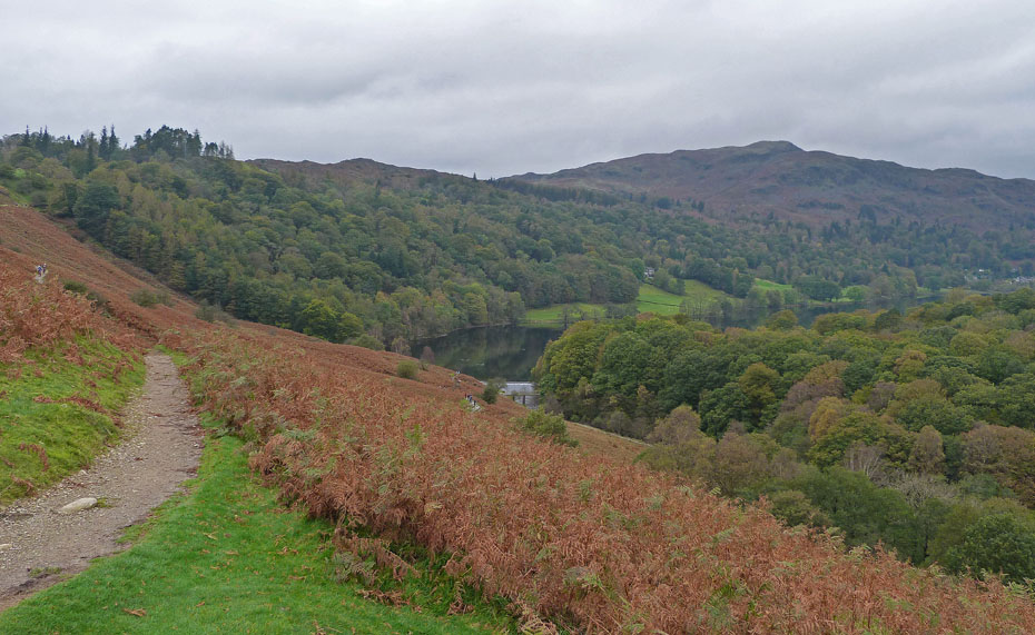
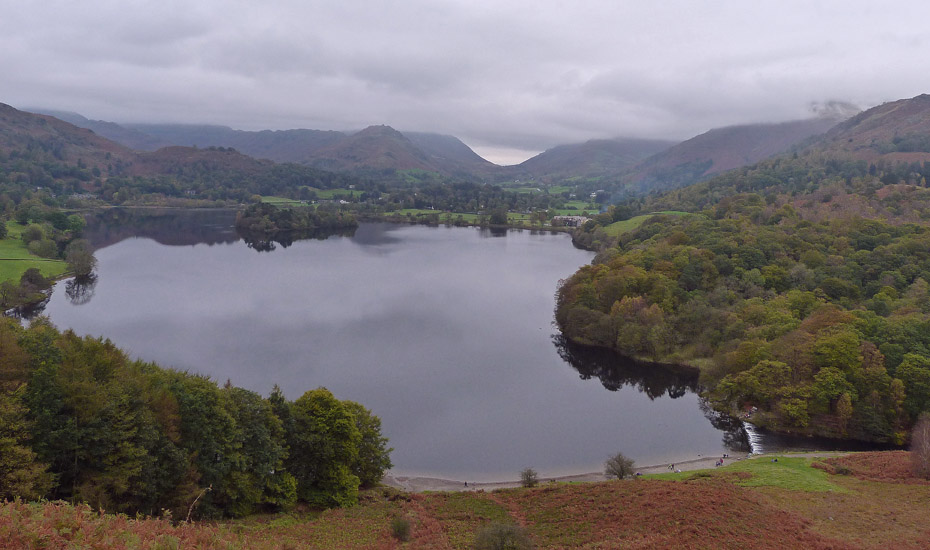
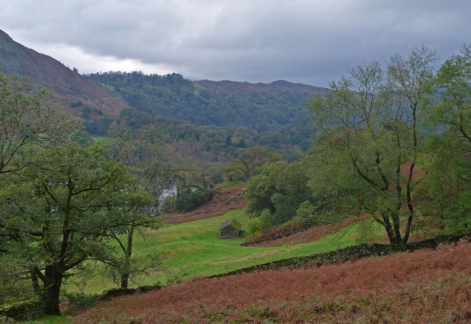
Down to the waterside at Grasmere with the western leg of the Fairfield Horseshoe beyond.
It as dulled in again but the day is pleasant....
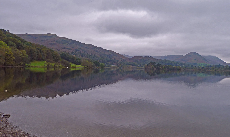
....and the views although not great are far from being bad.
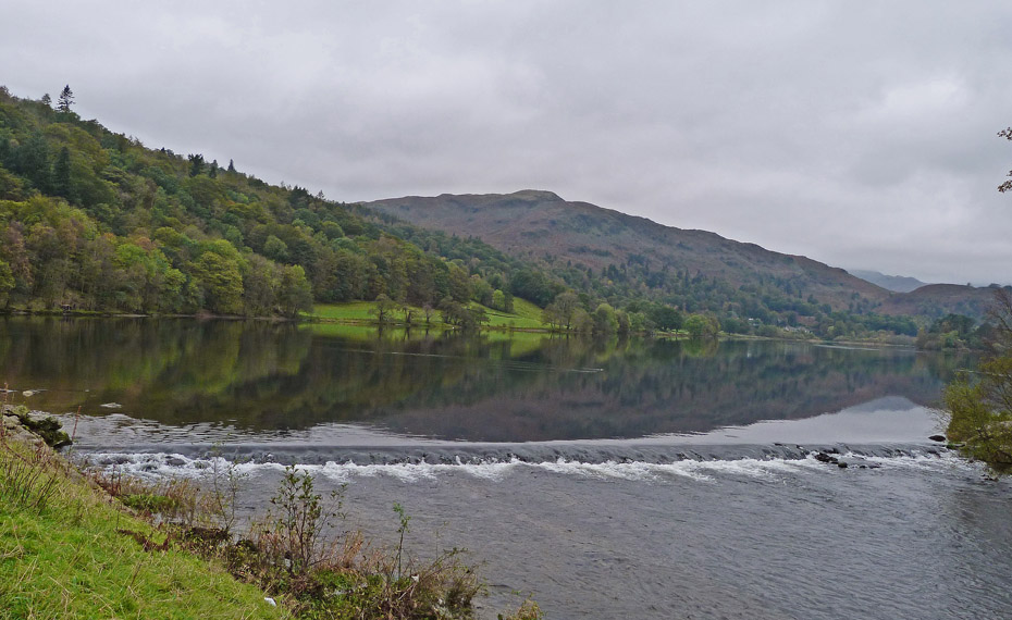
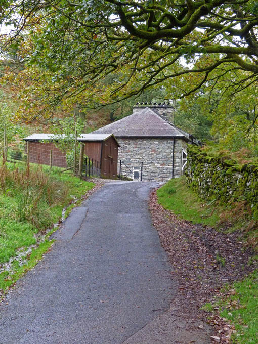
Grasmere weir.
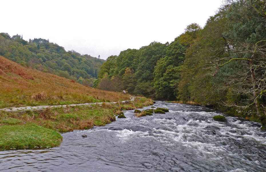
We followed the River Rothay down towards White Moss...
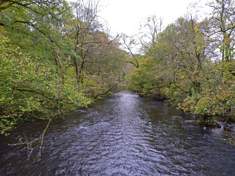
....and crossed the footbridge to walk towards the car park at White Moss....
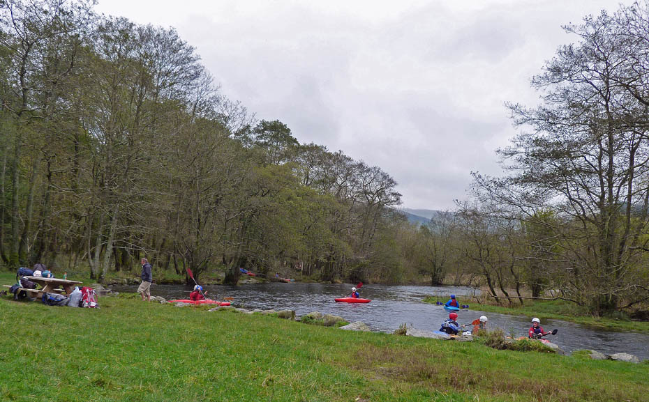
...passing a group of young canoeists along the way.
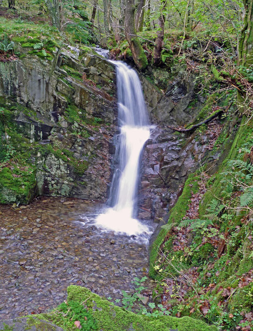
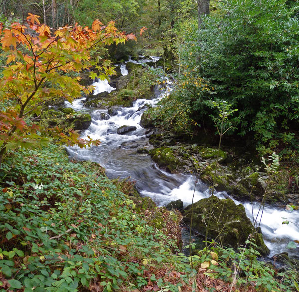
We crossed the A591 at White Moss to take the path up to the Corpse Road passing this waterfall along the way.
We are now on the Corpse Road and ready to make our way back towards Rydal.
Looking towards Wansfell as we make our way back. The path was quite busy today and the " Hello count " was high but it was good to see so many people out and about.
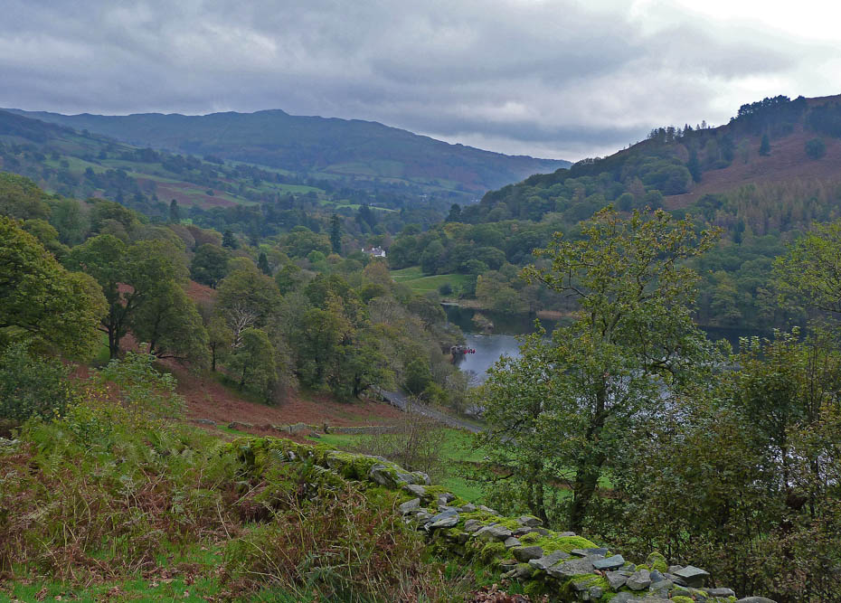
Loughrigg across Rydal Water as we near Rydal.
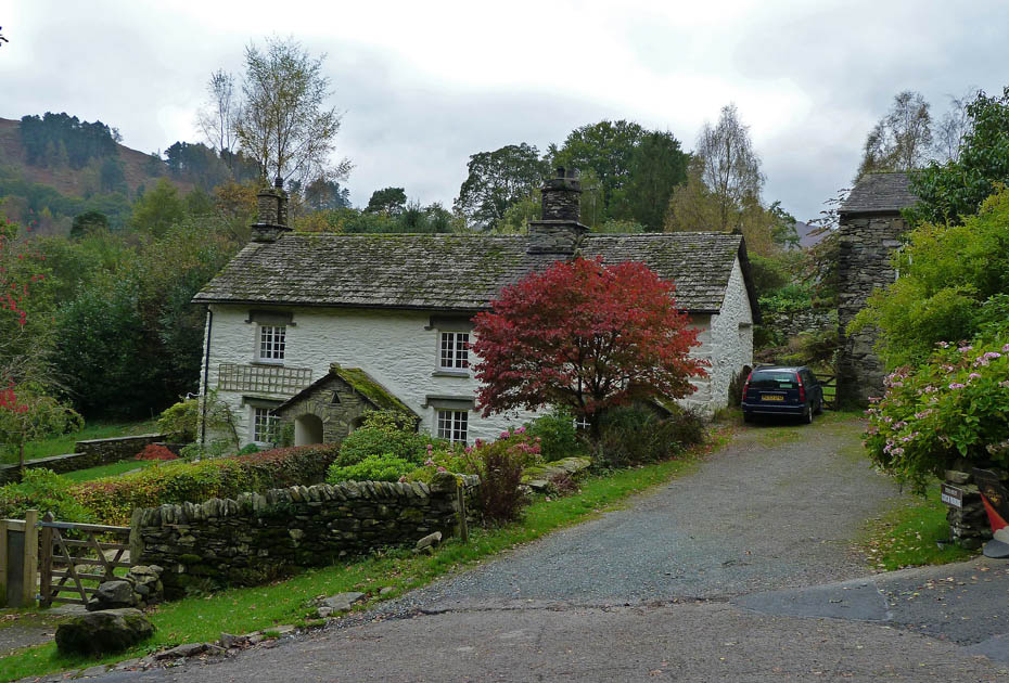
Cottages at Rydal.
Before returning to the car we popped into the grounds of Rydal Hall to visit the Old Schoolroom tea-room and enjoyed...
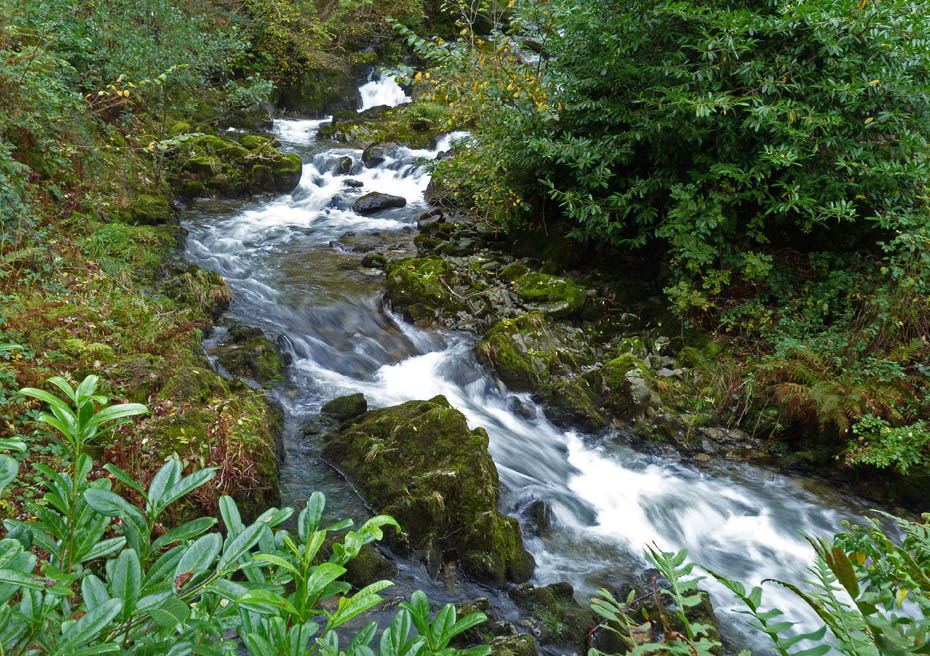
....a nice brew and a piece of cake whilst watching the falls of Rydal Beck.
Next Walk: 14th October 2011 - North Lancashire - A walk in the Lune Valley.
Last Walk: 7th October 2011 - Arnside & Silverdale AONB - Arnside Knott
Join us on Facebook for regular updates.
Dave Brown Wainwright-Wanderings
![]()
Create your badge
We hope you have enjoyed viewing this walk. If you have any comments please sign our Guestbook or E_Mail us.
