
| Area: | Lake District | Ascent: | 440feet |
| Walk No: | 612 | Time: | 2hours 15minutes |
| Date: | 16th October 2011 | Parking: | Near the old Kendal Racecourse |
| Distance: | 4.00miles | Weather: | Mainly dull and cloudy. |
For those of you that are thinking of going onto the hills I would strongly recommend that you read the advice given by the Mountain Rescue organisation of England and Wales. To read this advice, which will open in a new page please click HERE. If you would like to make a donation to the Mountain Rescue organisation which is purely voluntary please click HERE. Please make the time to read the advice page.
---------------------------------------------------------------
With other things planned for the afternoon we only had time for this short walk along Scout Scar from near the old Kendal Racecourse. The walk did start in sunshine but soon we were under dull clouds and apart from a short spell as we walked along the scar edge it stayed that way.
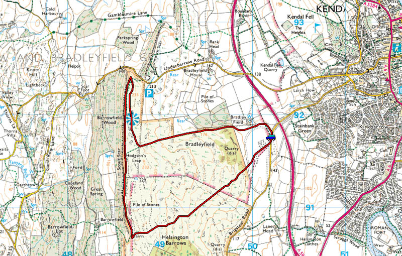
Route Map
We parked the car on the Kendal - Brigsteer road near the site of the old Kendal Racecourse.
Some history of the old racecourse can be found......HERE
Although it was fine & sunny it didn't look too promising over Benson Knott as we set off across the racecourse for Scout Scar.
Looking towards Scout Scar. The raised banking of the old race track can be seen near the wall.
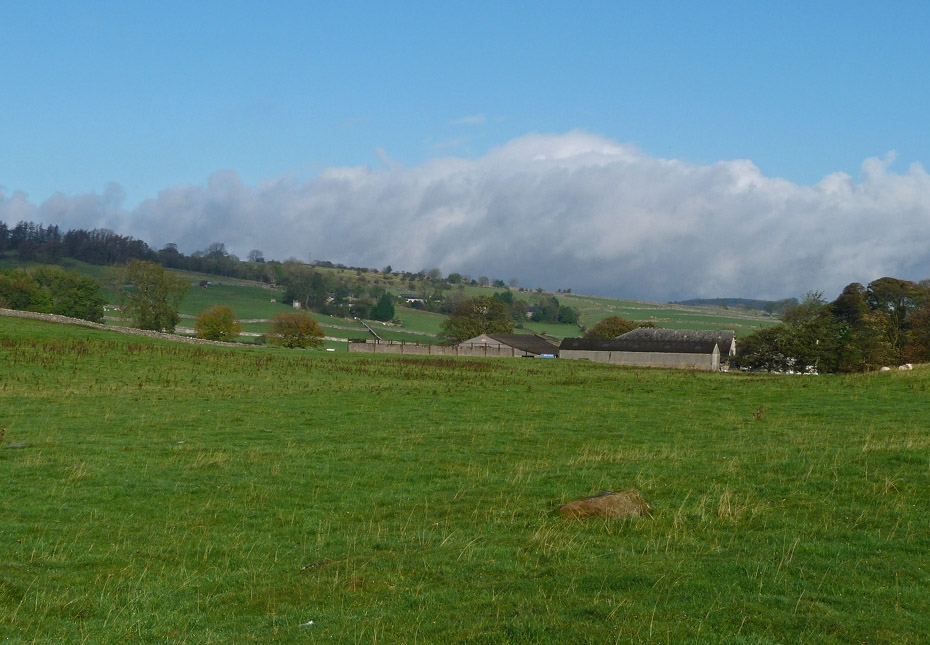
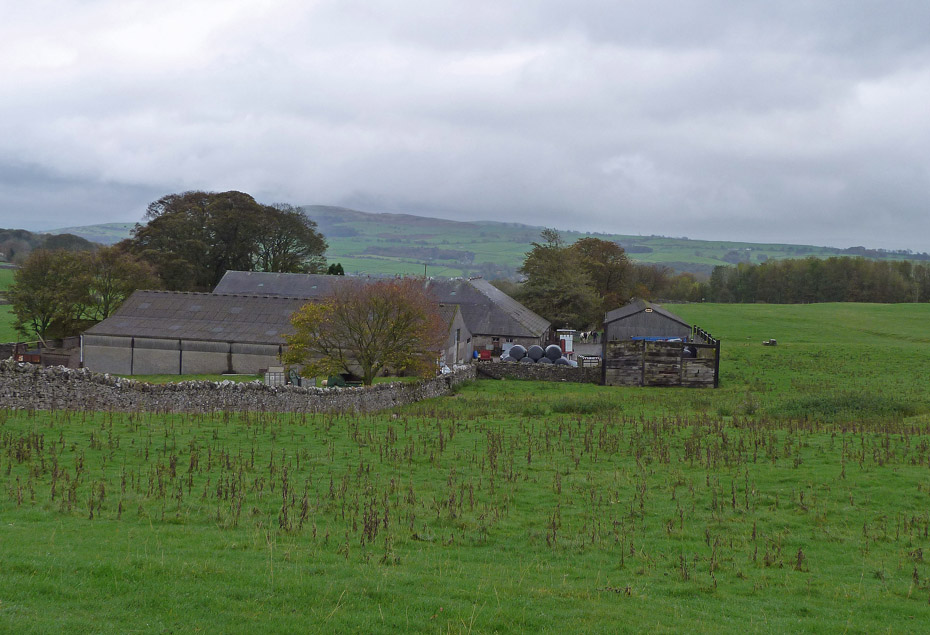
A look over to Bradleyfield.
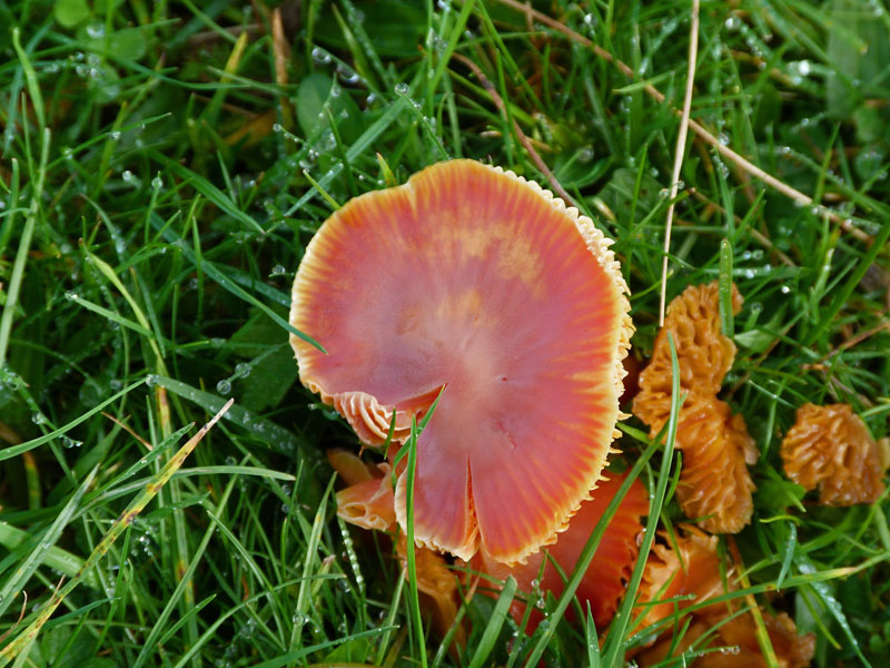
Colourful fungi.
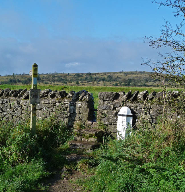
After passing through a kissing gate we left the field to enter the rougher ground leading towards Scout Scar.
A look over towards Natland with The Helm behind.
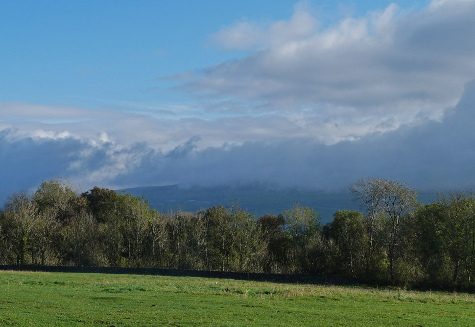
We have lost the sun now and it is just a question of whether it will stay dry for us now.
We soon reached the top of the ridge....
....where a right turn would have taken us to the summit trig point,....
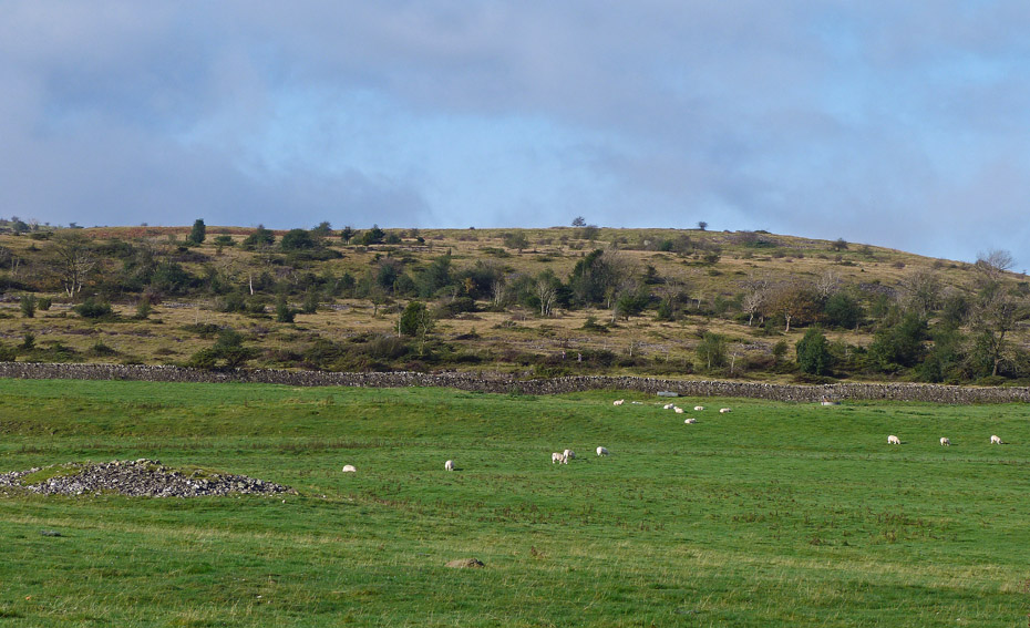
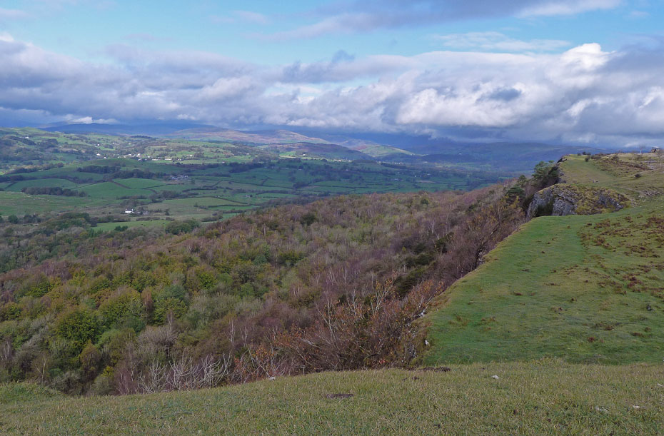
...but we decided to drop down to pick up the scar edge at the large cairn marking the path down to Barrowfield in the valley below.
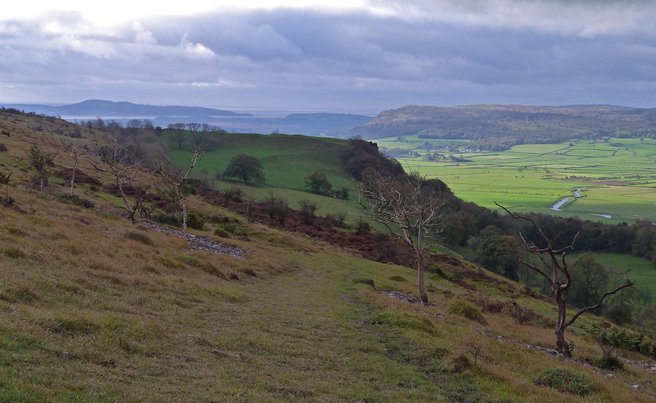
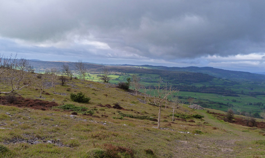
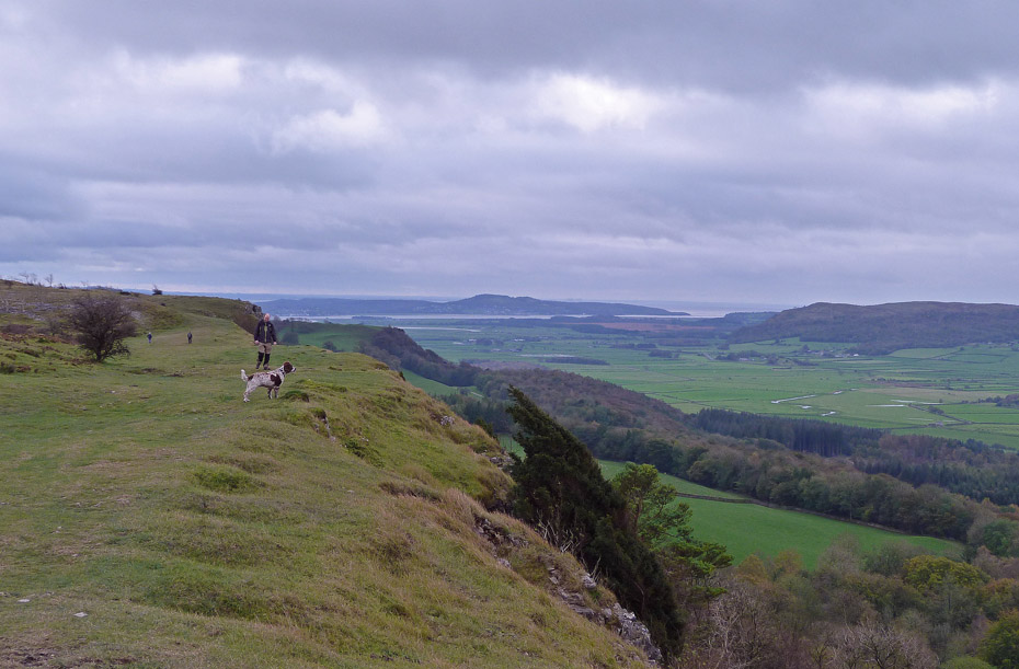
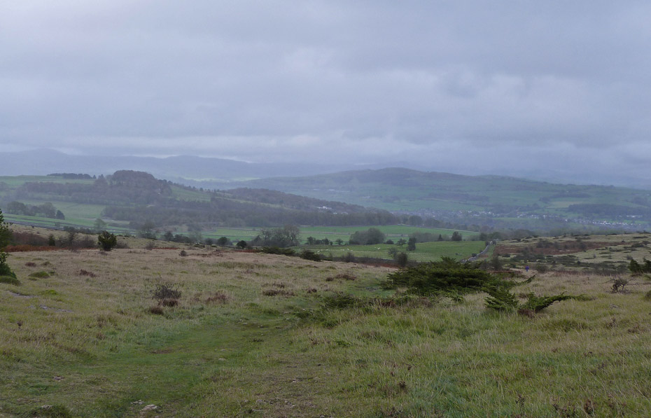
A view southwards to Arnside Knott in the shade and a sunny (for now) Whitbarrow.
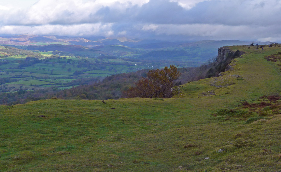
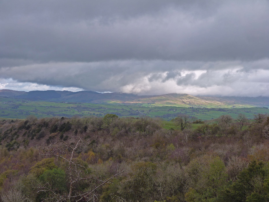
Distant cloud-topped Coniston fells with Barrowfield below us.
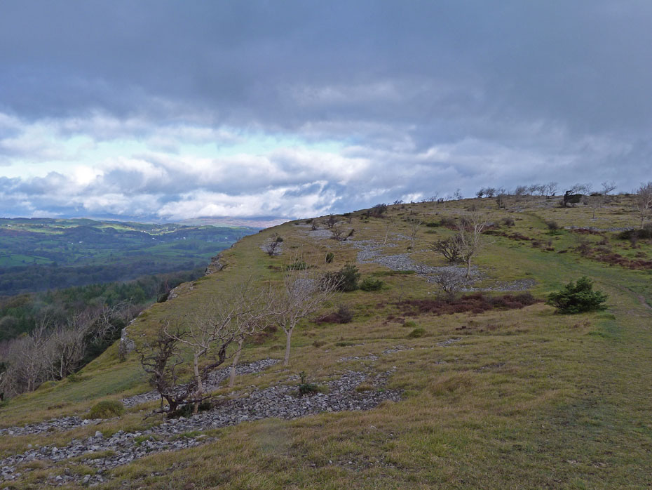
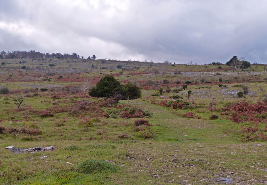
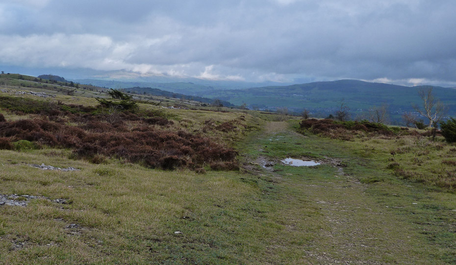
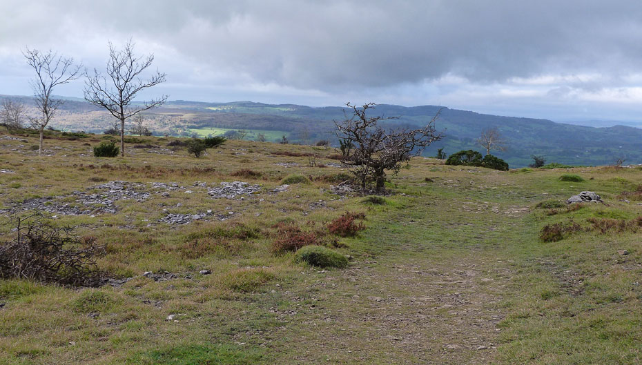
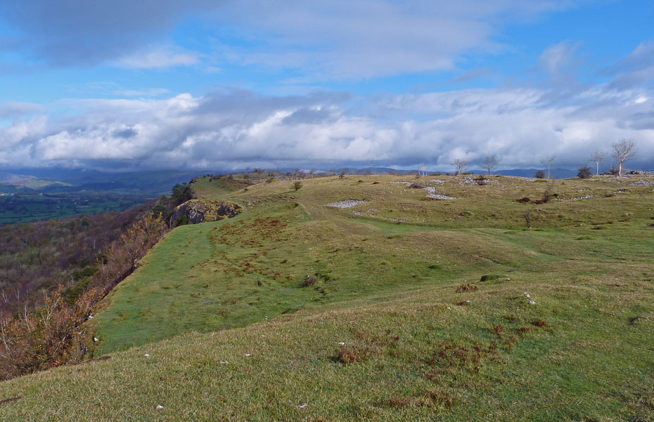
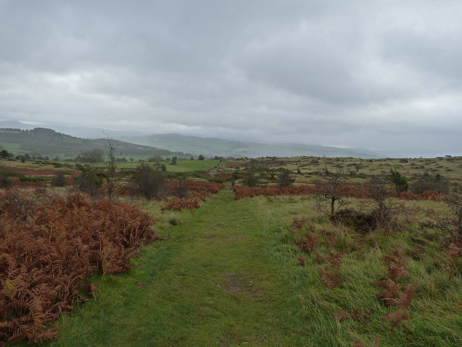
A simple route....just follow the edge.
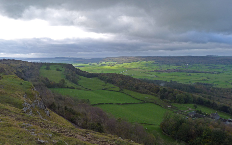
By far the best views were to the south and we were hoping that shortly we would be enjoying some of that sunshine.
As we progressed northwards things did start to improve and spirits were lifted.
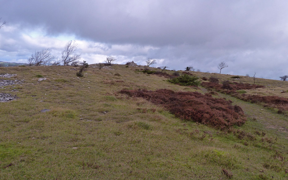
Looking along the scar edge towards the "Mushroom" in the far distance.
The short spell of sunshine was soon over however although the Staveley area seemed to be enjoying some.
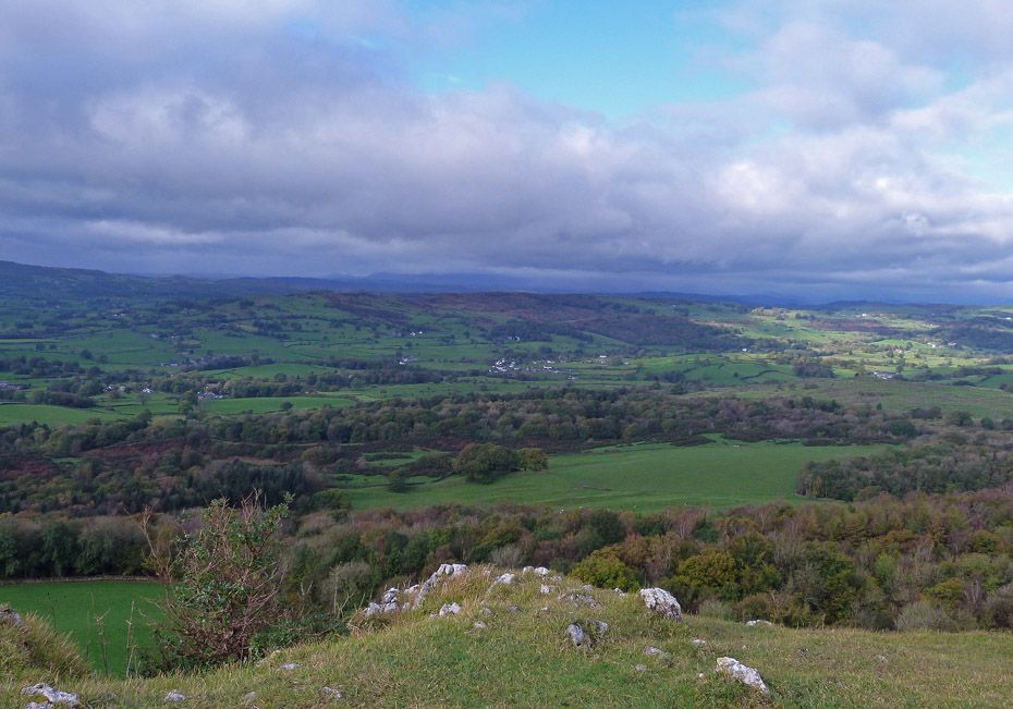
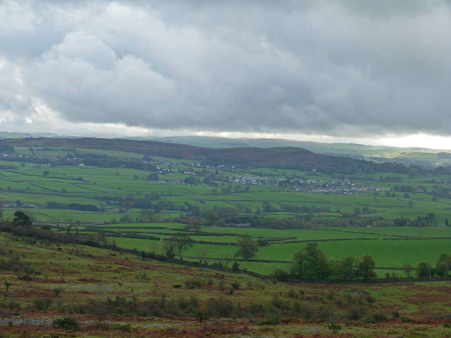
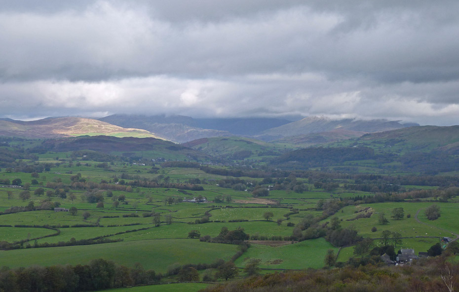
Looking across the Lyth Valley from near Hodgon's Leap.
It's not a place for excitable dogs chasing balls.
On reaching the northern end of the scar we plonked ourselves down on a seat for a brew and waited to see if there would be any improvement.
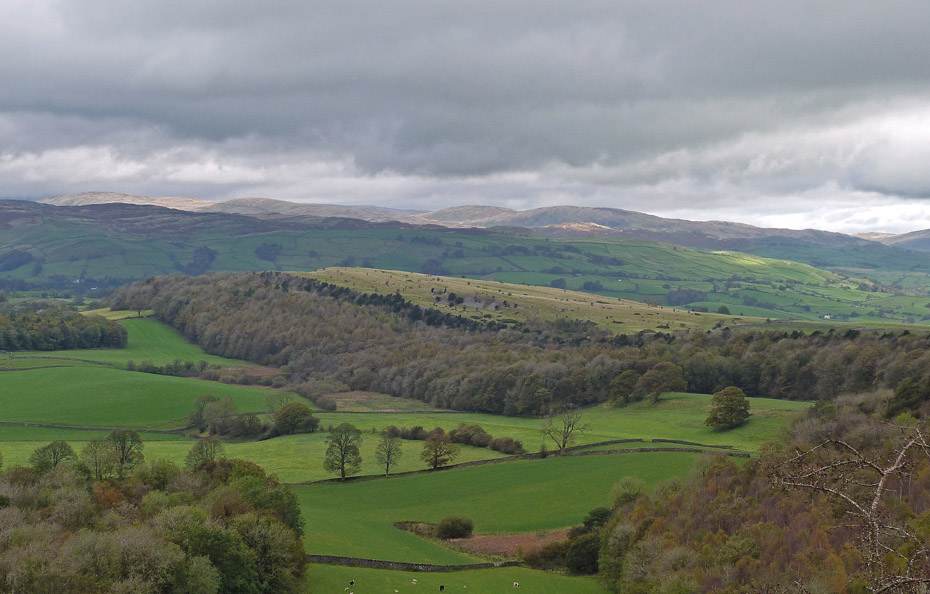
There was some brightness looking over Cunswick Fell towards the fells of Shap but unfortunately...
....there was none over Kentmere and the cloud refused to lift.
The Whinfell Ridge.
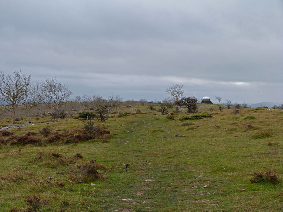
After a while we gave up hope and made our way along the ridge path towards the "mushroom".
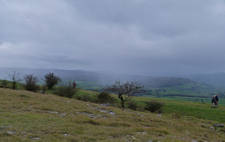
It was around this point that the showers started, not heavy but just enough to make us put on the jackets.
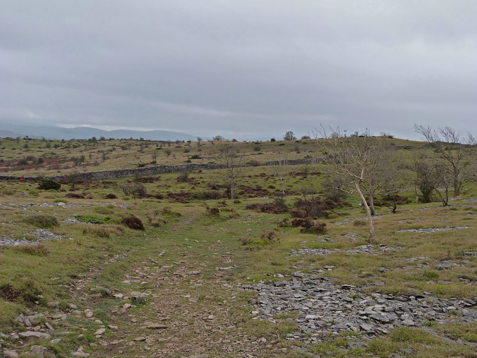
We set off along the path to Bradleyfield...
.....with nowt much to see only the outline of the fells through the showers.
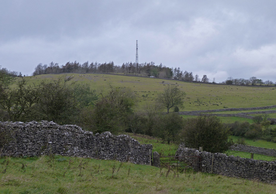
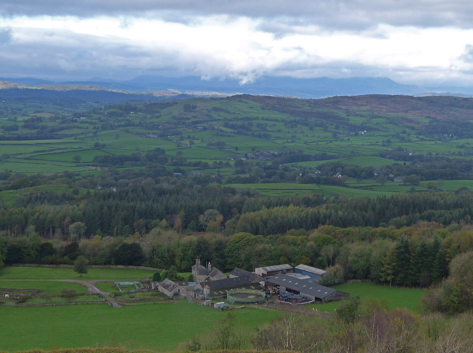
Bradleyfield.
And finally....back to the car.
Next Walk: 19th October 2011 - Lake District - A Naddle Circular.
Last Walk: 15th October 2011 - Arnside & Silverdale - Warton Crag via Leighton Moss & Hall
Join us on Facebook for regular updates.
Dave Brown Wainwright-Wanderings
![]()
Create your badge
We hope you have enjoyed viewing this walk. If you have any comments please sign our Guestbook or E_Mail us.
