Date: 13th September 2006
Walk No.3
Wainwright summits: Loughrigg and Silver How
Distance: 10.5 miles
Ascent: 2535 feet
Time: 6h 00m
Weather: The day started misty with low cloud but brightened as we descended from Loughrigg.
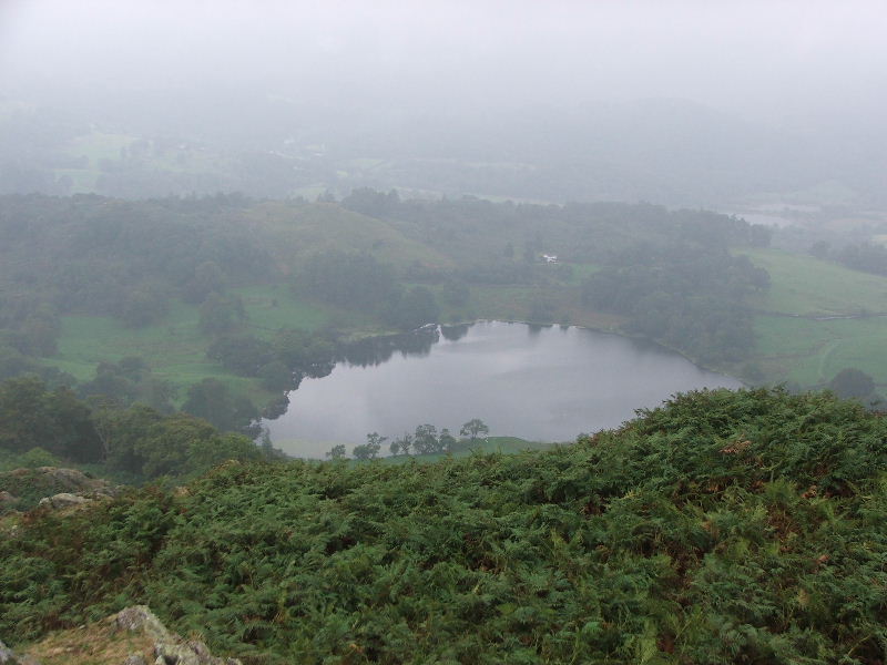
The weather had been so poor I didn't take any pictures until this point. Loughrigg Tarm from the route we took to the summit.
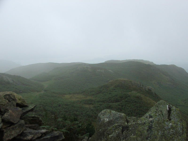
Even in bad weather there are few problems in route finding on Loughrigg provided a little common sense is applied.
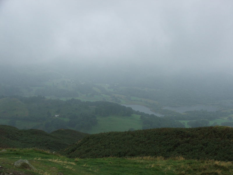
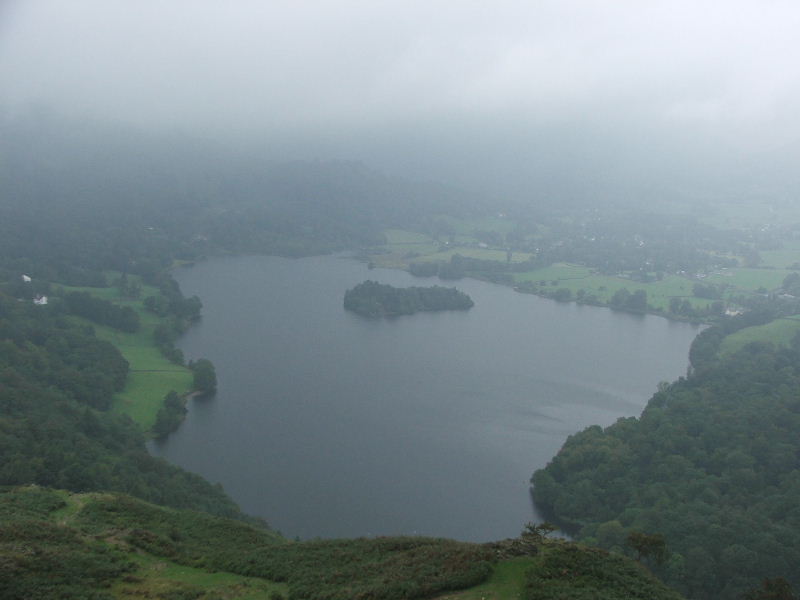
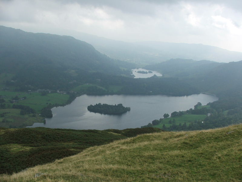
Grasmere and Rydal Water from just below the summit.
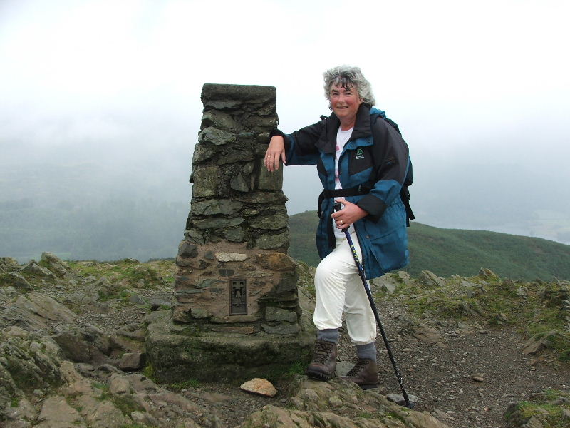
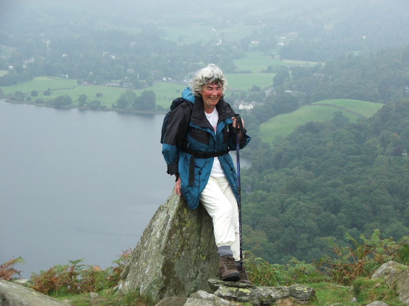
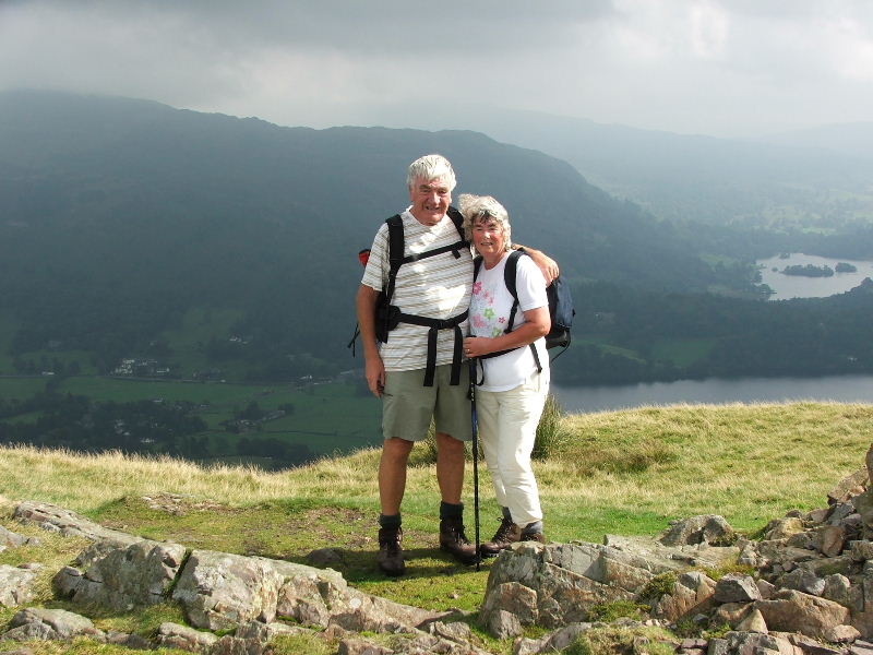
Edith on Loughrigg summit.
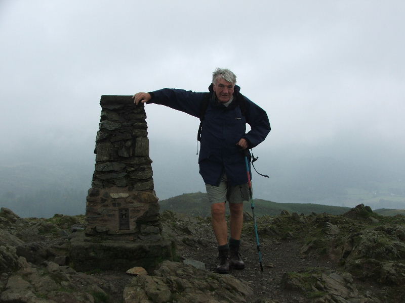
Dave on the summit.
Grasmere as we started our descent.
Something was amusing Edith as I took this but time fades the memory.
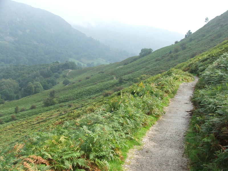
We descended to the Loughrigg Terrace shown in the picture then made our way to Silver How.
Silver How summit. By this time the weather had improved considerably. From here we descended into Grasmere village.
From the start of the descent a view of Grasmere and Rydal Water.
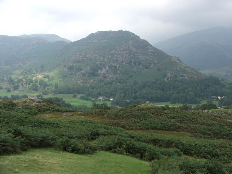
Helm Crag also know as "The Lion and the Lamb" from our descending path to Grasmere.
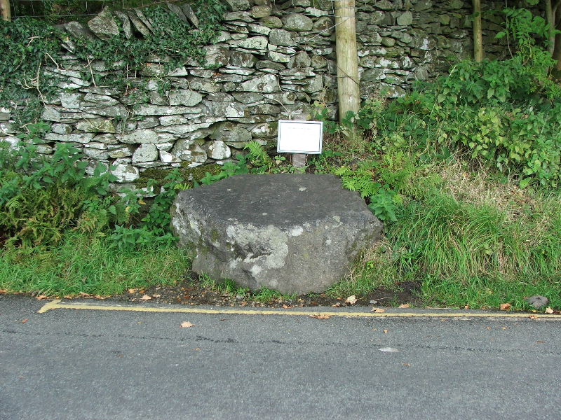
From Grasmere we took what is known as the "Corpse Road" back to Rydal. This stone was used for resting the coffins on along the way.
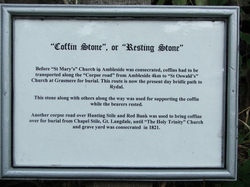
Self explanatory
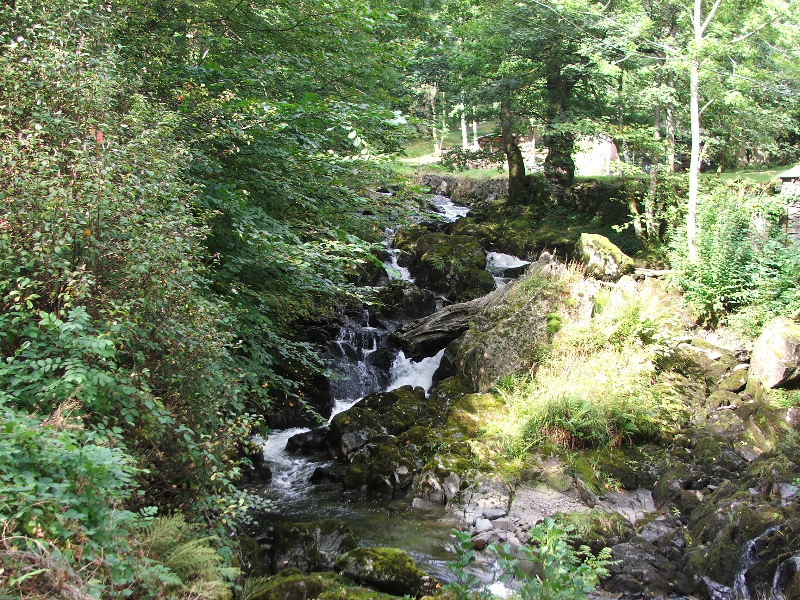
From Rydal we took the path through Rydal Hall back to Ambleside. The picture shows Rydal Beck from near the hall.
Next Walk: 18th September 2006 -- High Rigg from Legburthwaite
Last Walk: 7th September 2006 -- Sallows and Sour Howes from Troutbeck