Date: 9th October 2006
Walk No.10
Wainwright summits: Selside Pike, Branstree, Tarn Crag and Grey Crag.
Distance: 14.25 miles
Ascent: 2950 feet
Time: 7h 45m
Weather: Fine and sunny.
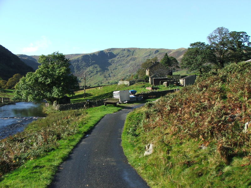
We left the car by the Filter house in the Swindale valley and walked along the road to Swindale Head farm where we accessed the fells.
We walked along the lane from the filter house as far as Swindale Head farm.
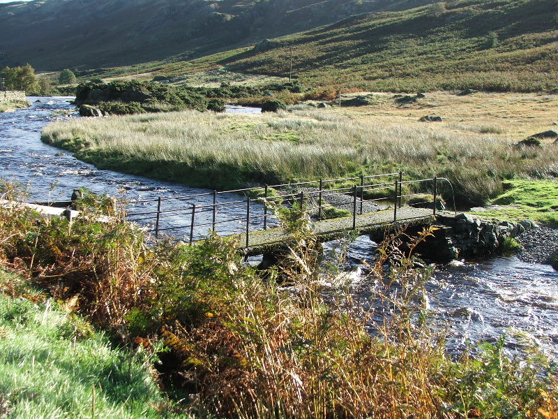
Swindale Beck. From Swindale Head farm we took the track of an old Corpse Road from Swindale to Mardale.
Just before the top of the Corpse Road we diverted to follow the ridge up to Selside Pike. The ridge to Kidsty Pike between the valleys of Riggindale and Randale is shown here.
The Rough Crag - Long Stile ridge leading to the High Street.
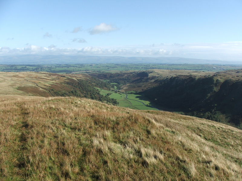
Looking back and down into Swindale.
Looking down to where the Mosedale Beck drops down into Swindale at Forces Fall.
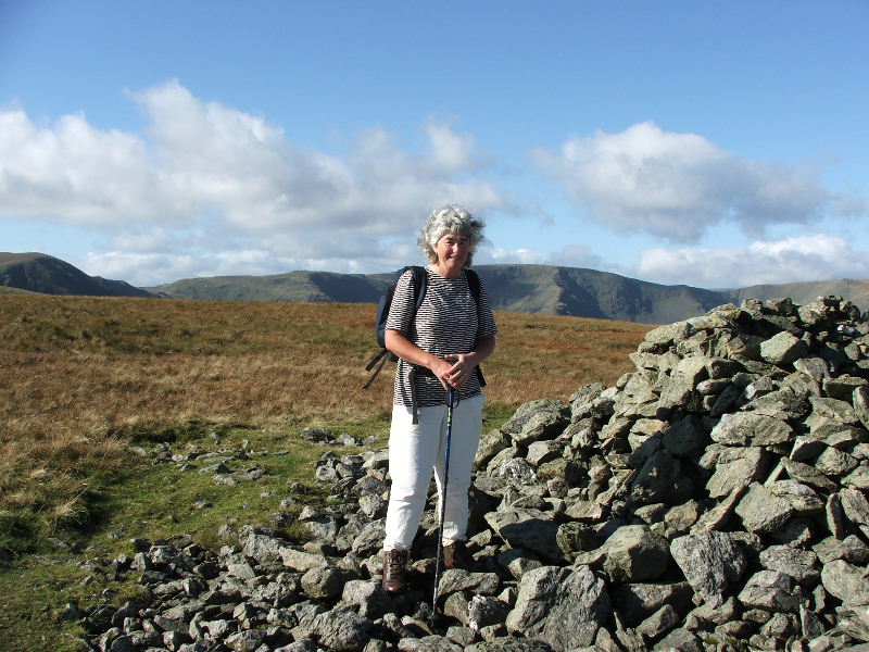
Edith on Selside Pike with the High Street fells behind.
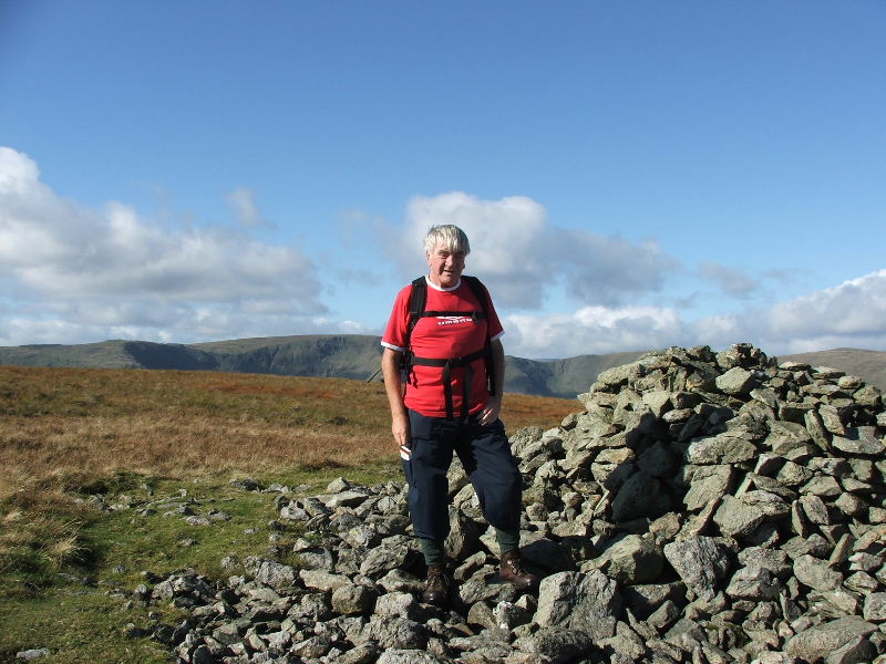
Dave on Selside Pike.
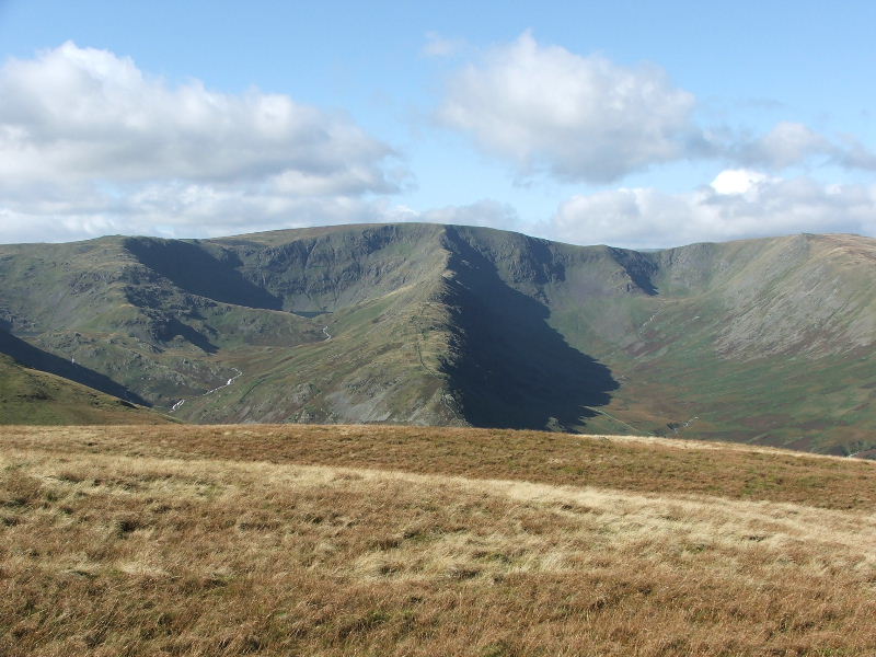
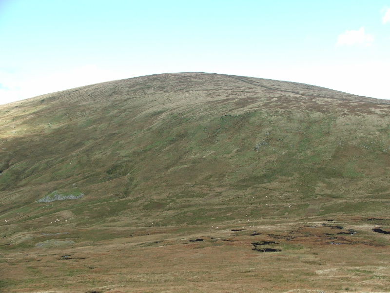
Looking across to Blea Water and the High Street from Selside Pike. From Selside Pike we followed a good track to Branstree.
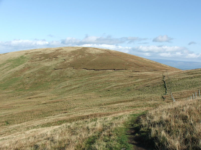
Looking back to Selside Pike from Branstree, the path is clear to see.
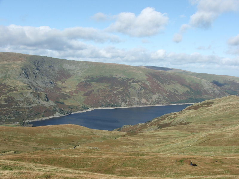
Haweswater Reservoir from the path to Branstree.
Edith on Branstree summit.
Dave on Branstree. From Branstree we descended down Selside Brow to the top of Mosedale before making our way through the peat hags towards Tarn Crag.
Looking back up Selside Brow from the path to Tarn Crag
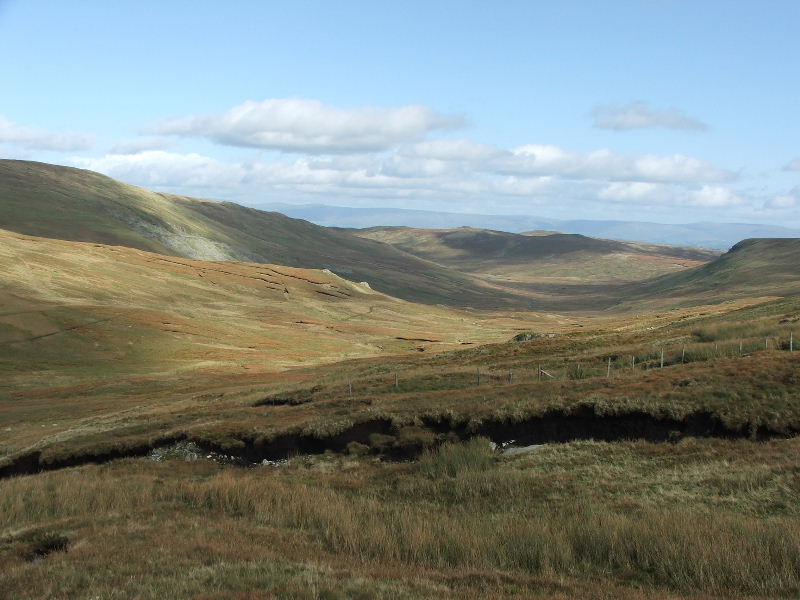
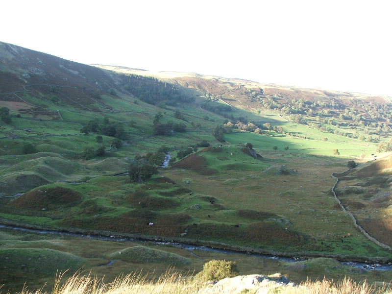
Looking down Mosedale, which would be our way back to the car later from the start of the climb up to Tarn Crag.
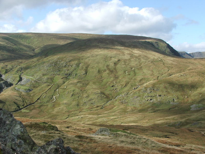
This shows the path leading up the Gatescarth Pass with Harter Fell behind.
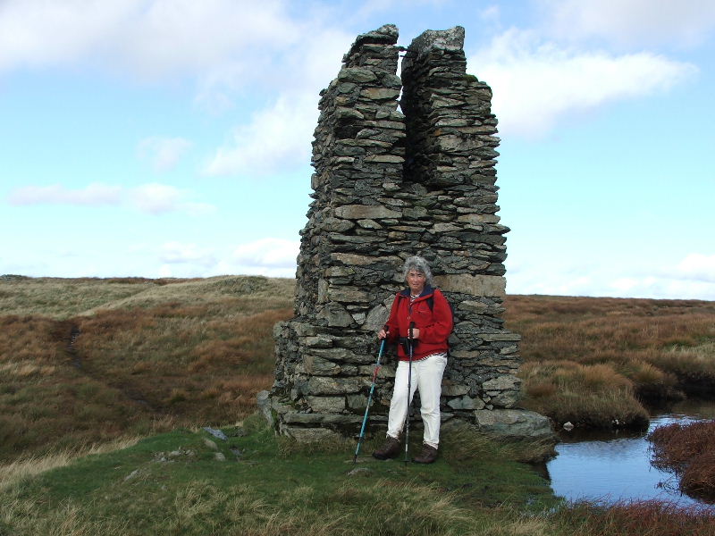
A survey post used in the construction of the Longsleddale tunnel which conveyed the Haweswater Aqueduct south towards Manchester.
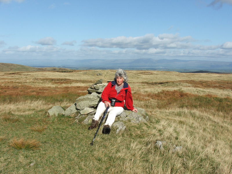
Edith on Tarn Crag summit with the Northern Pennines in the distance.
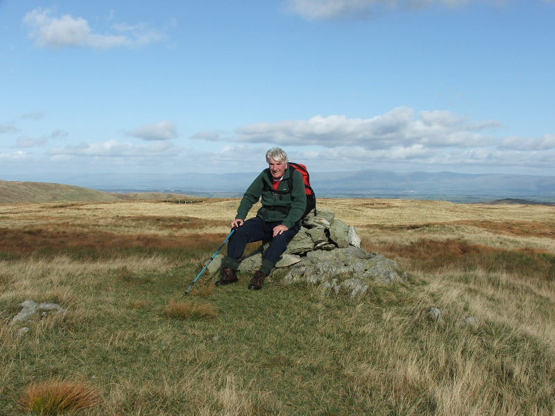
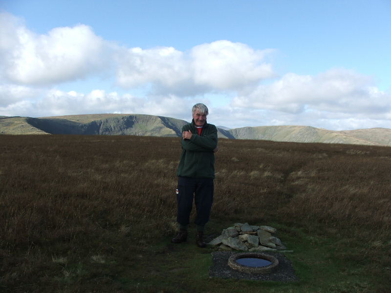
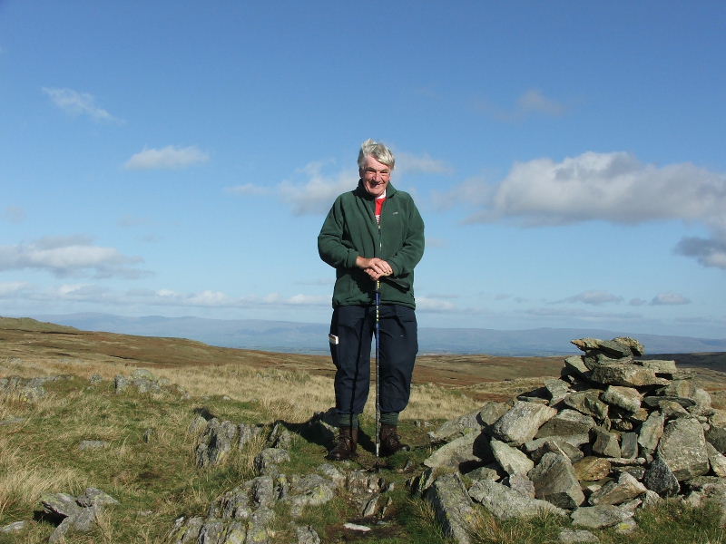
Dave on Tarn Crag. From here it was a 15 minute stroll to Grey Crag.
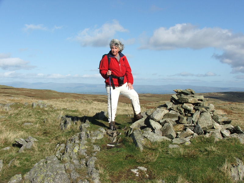
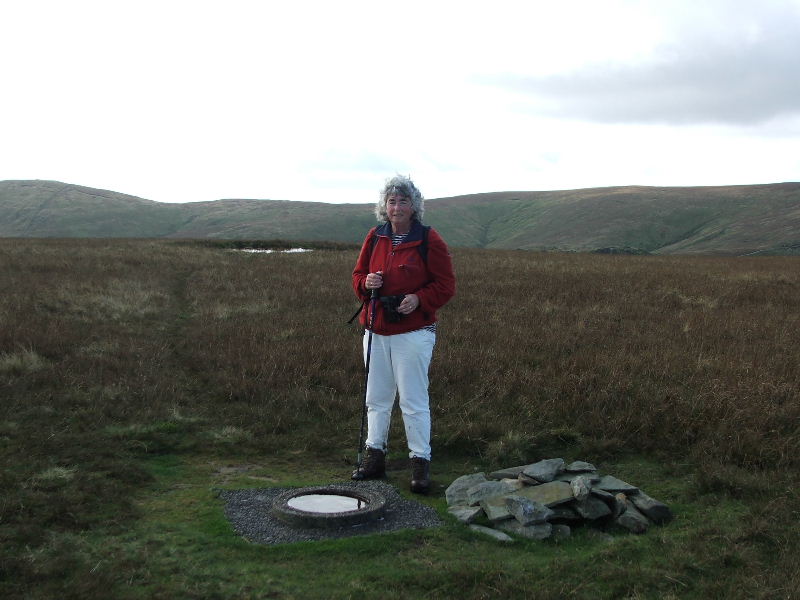
Edith on Grey Crag summit.
Dave on Grey Crag. From here we dropped back down to the head of Mosedale and took a very, very wet path down the valley.
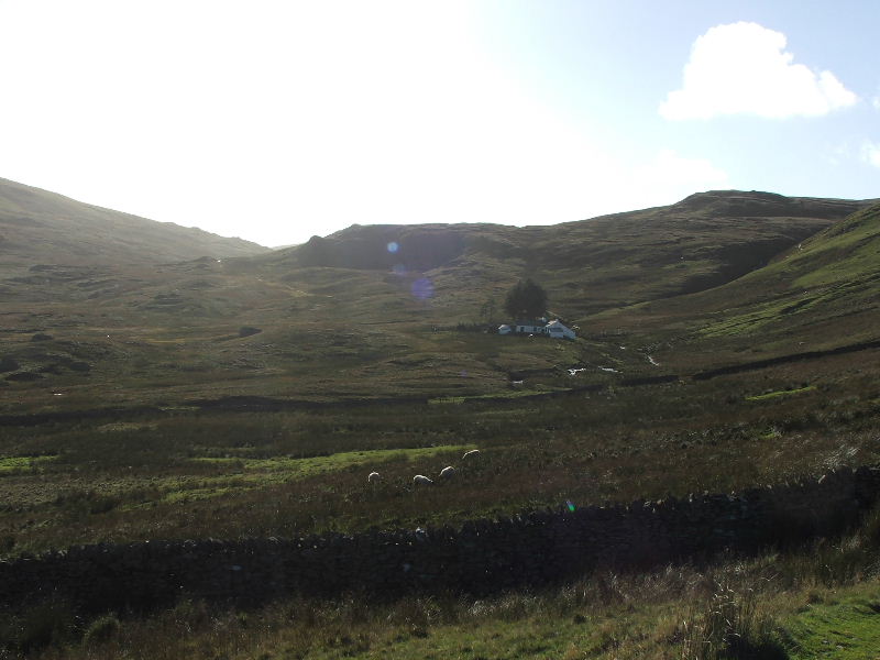
The walk down Mosedale was one of trying to avoid the wettest parts with little success. This picture is taken from near Ash Knott looking back to Mosedale cottage now used as a bothy.
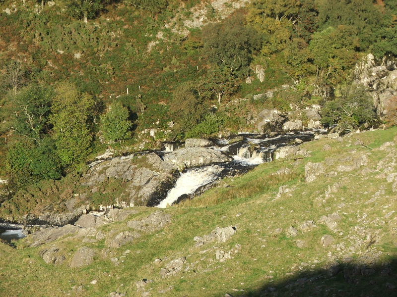
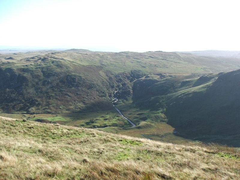
The top of Force Falls. This is where Mosedale Beck drops down into Swindale and then becomes Swindale Beck.
After dropping back down into Swindale our path took us back to Swindale Head farm (hidden by the trees in the centre) and then back down the lane to the car.
Last Walk: 3rd October 2006 -- The Fairfield Horseshoe from Ambleside