| Area: | 86 | Ascent: | 1406 feet |
| Walk No: | Lake District | Time: | 4 hours 15 minutes |
| Date: | 16th October 2007 | Parking: | Elterwater |
| Distance: | 9.50 miles | Weather: | Mostly cloudy but a couple of sunny spells |
| Route: | Elerwater - Little Langdale - Slater Bridge - Fell Foot - Blea Tarn - ODG - NDG - Elterwater |
I was by myself today and not wanting to aggravate an already "tweaky" hamstring so I decided to keep to decent paths and to avoid steep descents. This I did in the main although the path from the Wrynose road to Blea Tarn was quite wet but thats normal. From Elterwater I took the path over to Little Langdale via Dale Head. After crossing Slater Bridge I took the path past Low and High Hall Garth to Fell Foot farm. After a short walk up the Wrynose road I took the path to Blea Tarn. From there I descended back into Great Langdale to the ODG where I took the bridleway to the NDG and then to Oak Howe. From there I followed the Great Langdale Beck down to Chapel Stile and on to Elterwater.
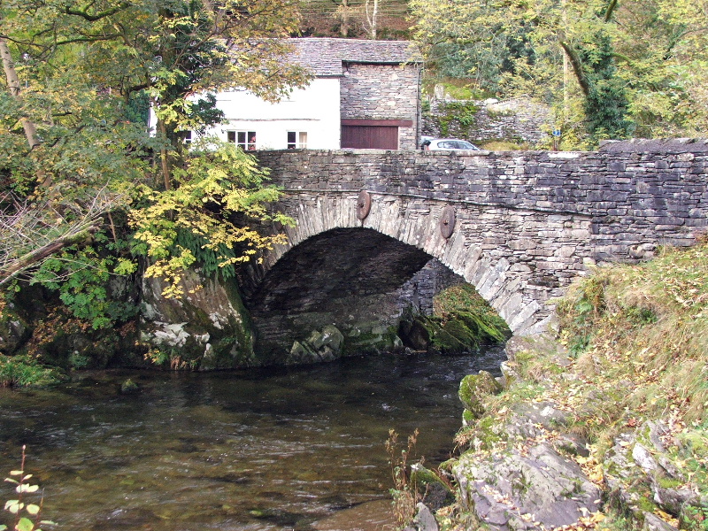
The bridge at Elterwater
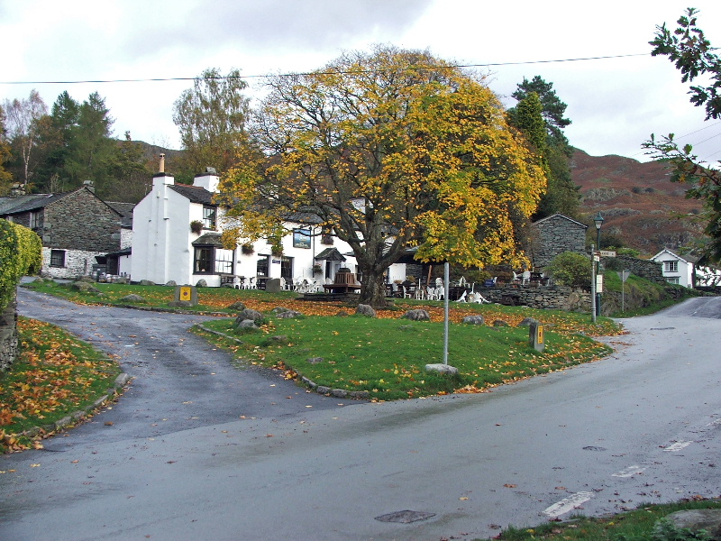
The village square
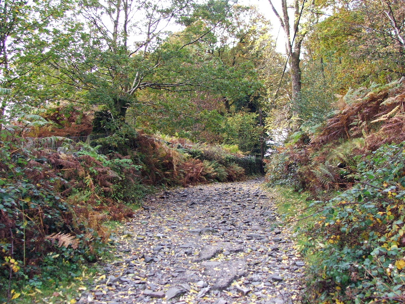
Walking up the lane to Little Langdale
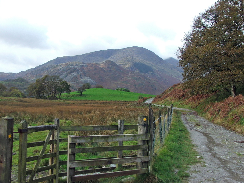
A cloud topped Wetherlam comes into view
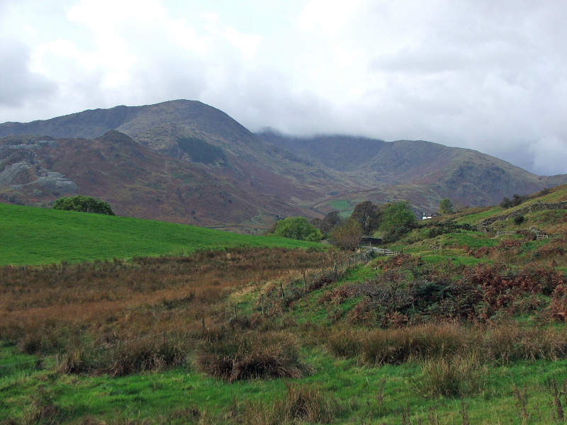
Further along and Greenburn and Wet Side edge appear
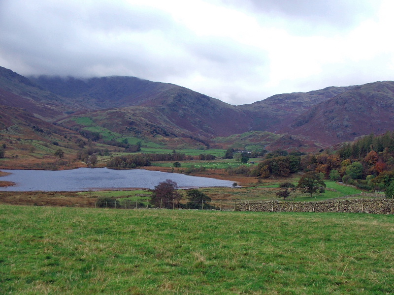
Looking across Little Langdale tarn to the Wrynose Pass
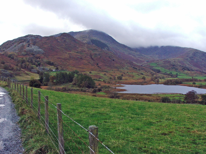
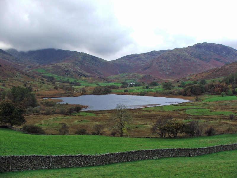
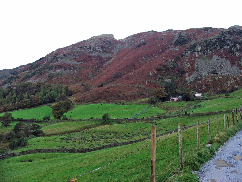
The slope of Lingmoor
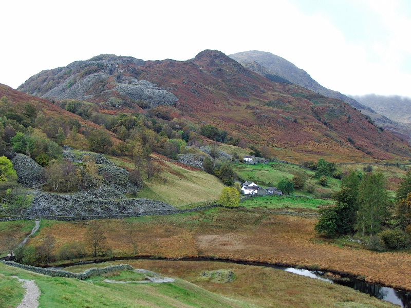
My route would take me over Slater Bridge and then past Low & High Hall Garth seen here
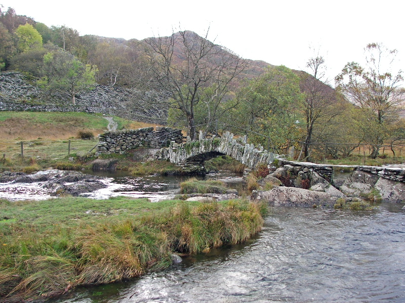
Slater Bridge
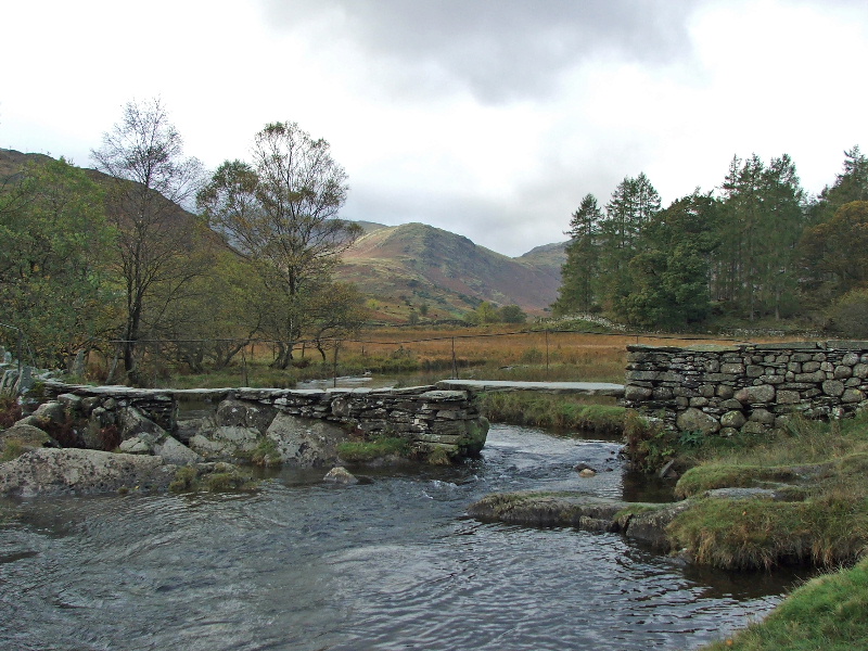
A glimpse of sunshine. The forecast had been for the day to improve. Unfortunately it didn't happen during the wlk
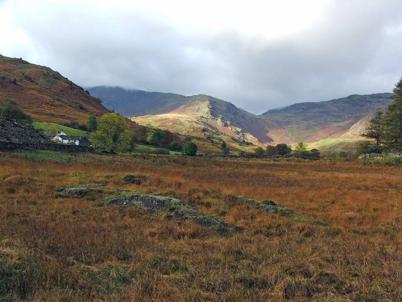
This is about as good as it got and even this didn't last long
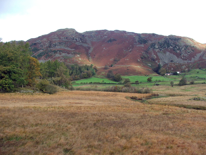
Lingmoor
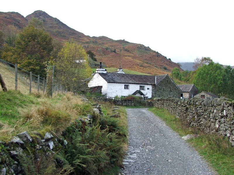
Low Hall Garth
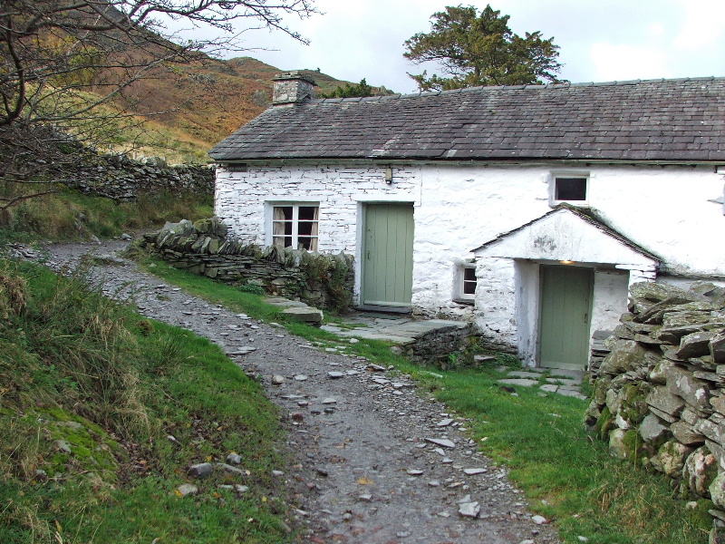
High Hall Garth
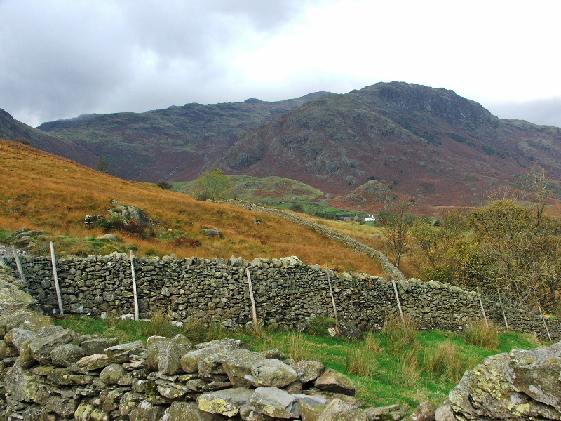
Looking to Pike O'Blisco
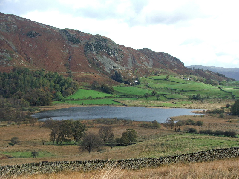
Looking back across Little Langdale tarn
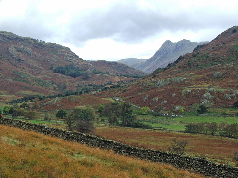
As I got nearer Fell Foot the Langdale Pikes started to appear from behind Lingmoor
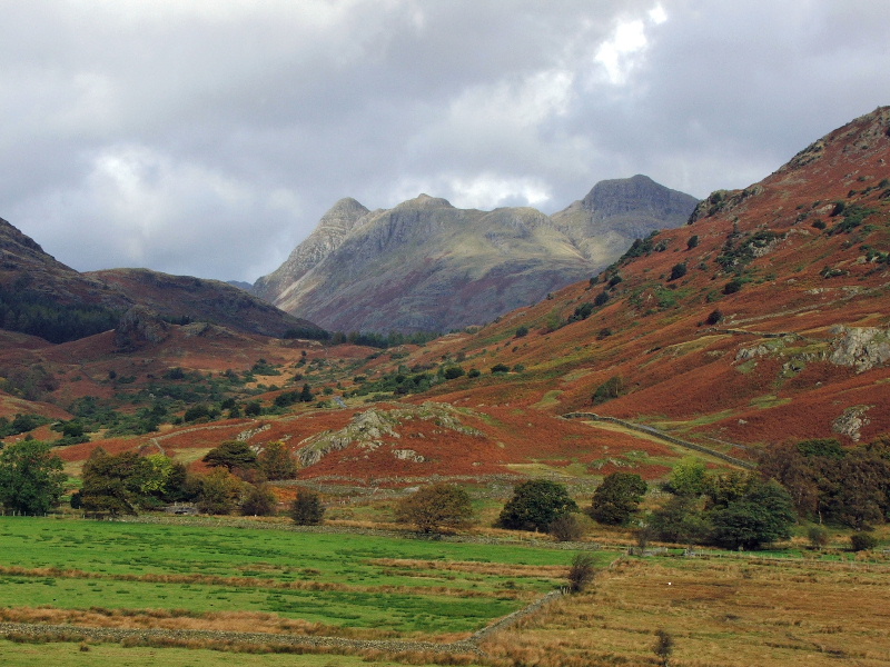
Can words describe views such as these?
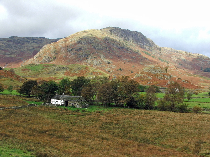
Bridge End with Pike O'Bliso behind. You can just see Fell Foot farm through the trees
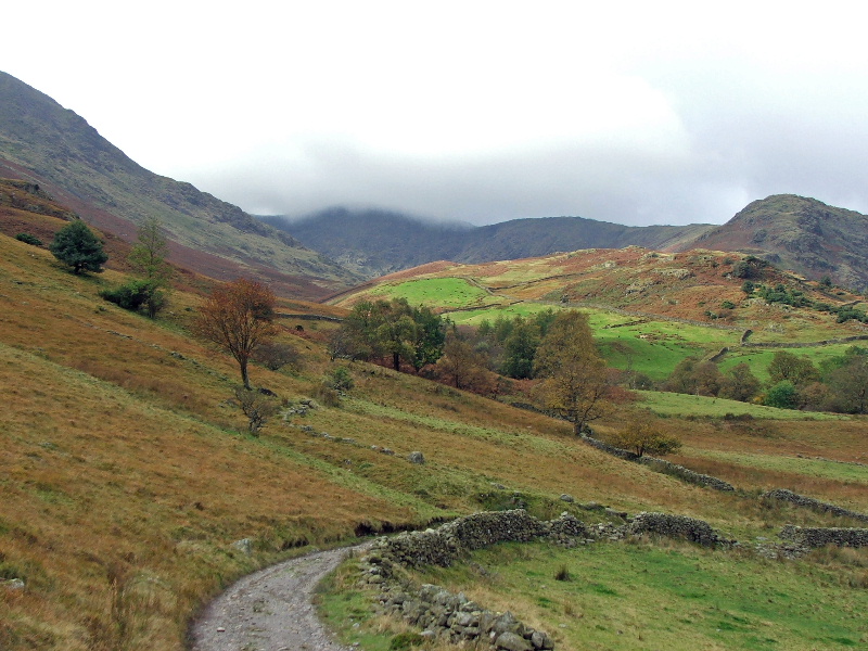
Looking to Wet Side edge and Greenburn
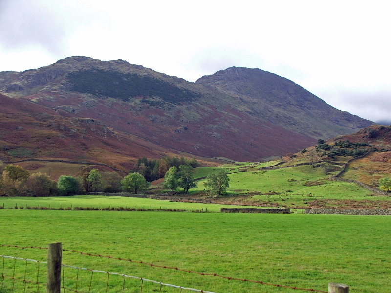
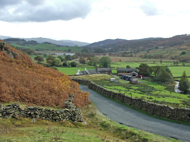
Walking up the Wrynose road and looking back to Fell Foot farm
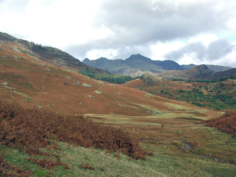
The Langdale Pikes from the Wrynose road
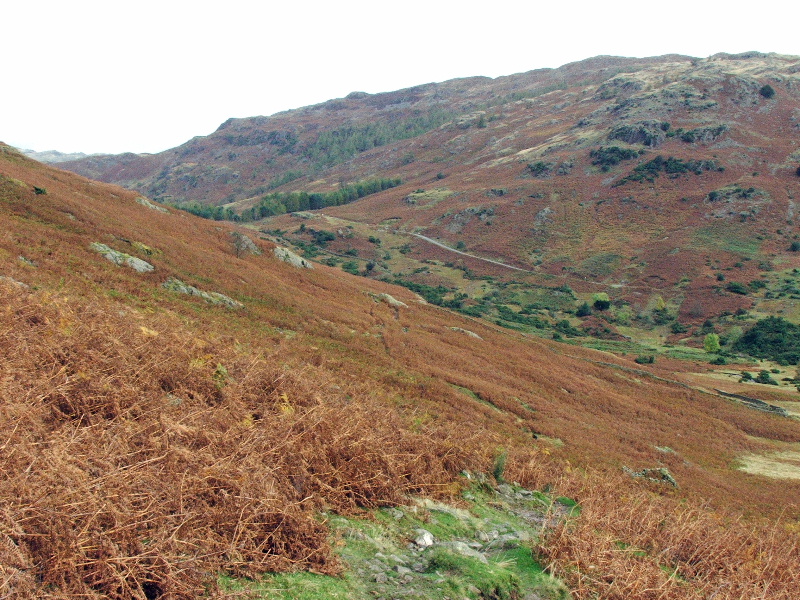
The path through the bracken to Blea Tarn
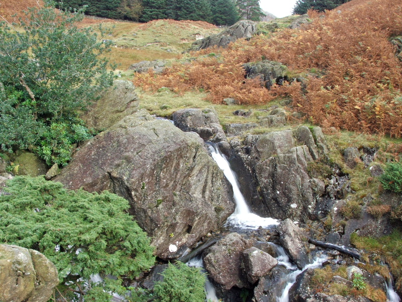
A smal waterfall on Bleamoss Beck
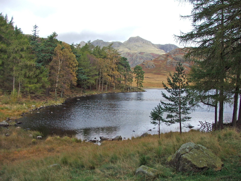
Blea Tarn with the Langdales. I make no apologies for showing more than one picture
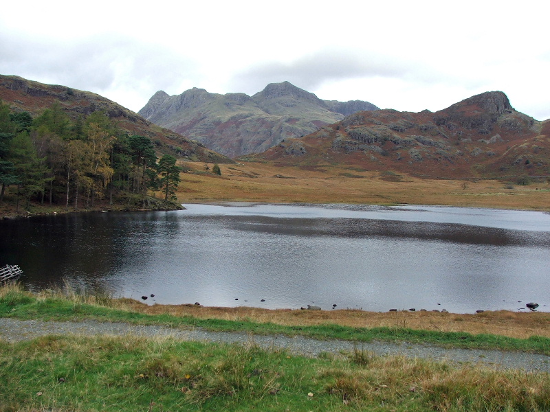
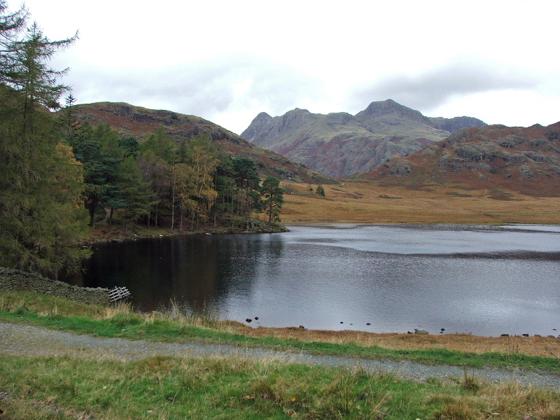
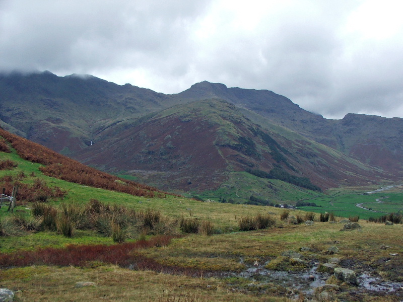
Taken from the other end of Blea Tarn this shows The Band with Bowfell behind
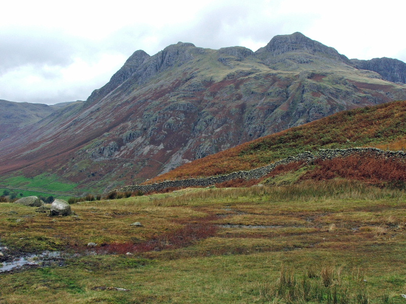
The Pikes
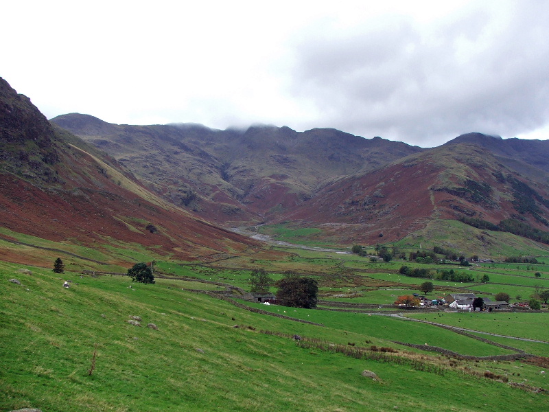
Looking into Oxendale and the Crinkle Crags
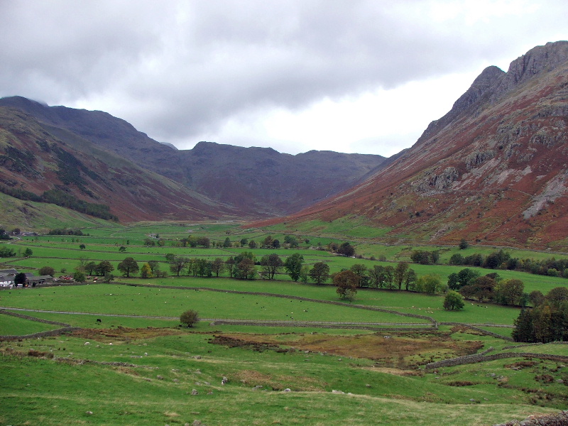
and into Mickleden with Rossett Pike in the centre
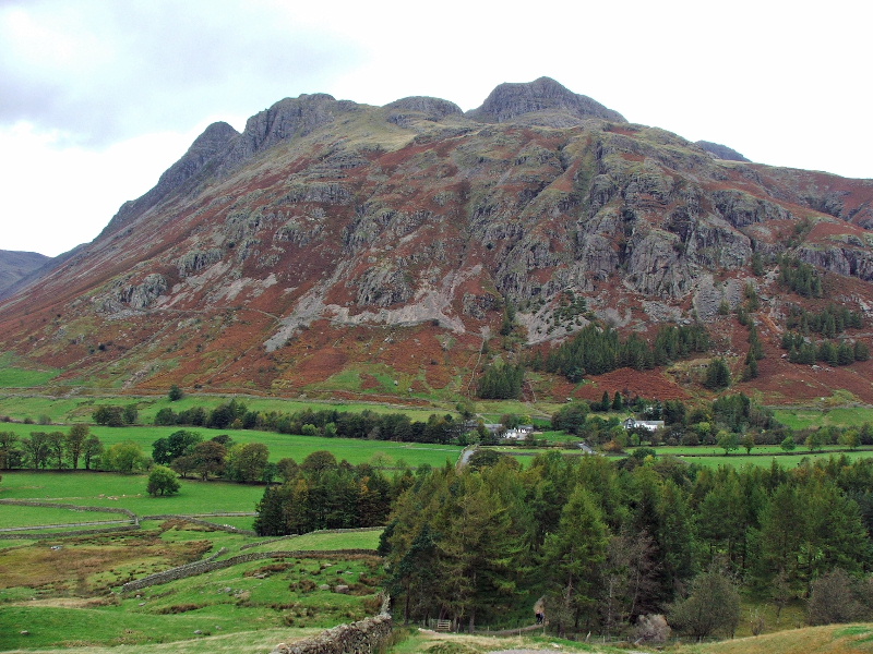
Looking over the Great Langdale campsite (in the trees) to the ODG
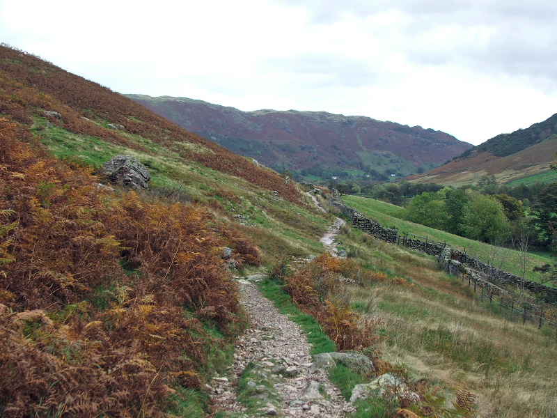
Back in Great Langdale now and on the bridleway from the ODG to the NDG
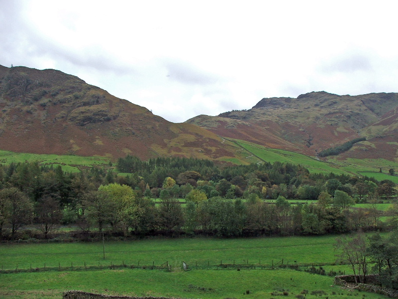
This shows the zig-zag path on which I descended from Blea Tarn
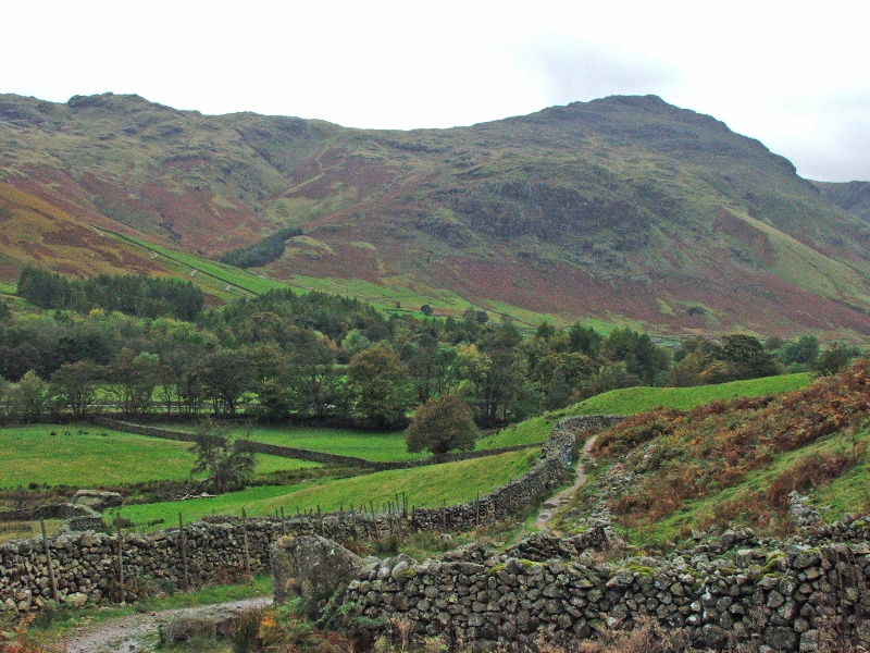
Pike O'Blisco
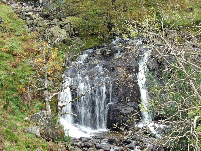
Waterfall as I cross Dungeon Ghyll
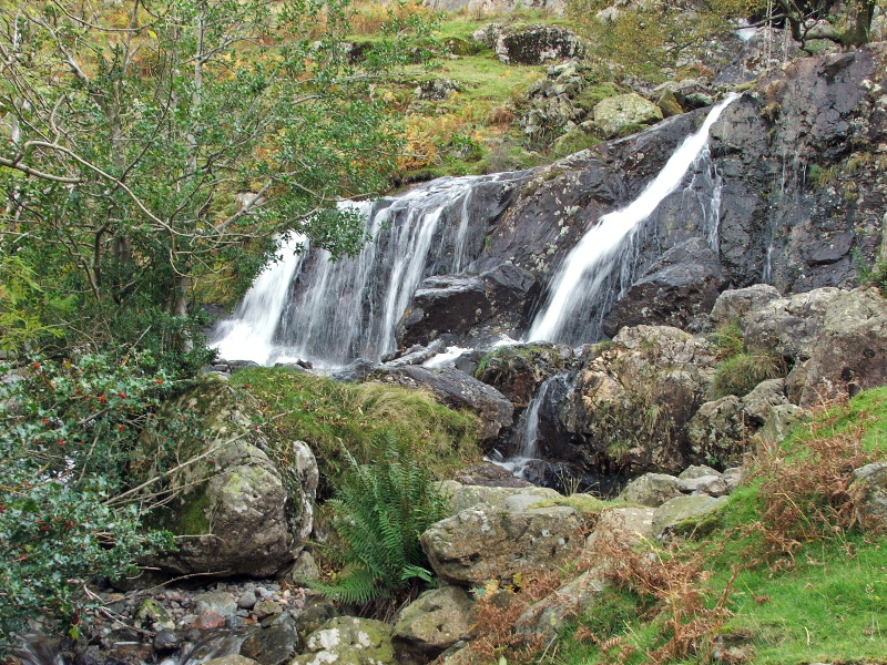
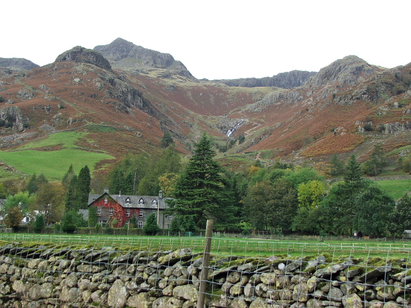
Looking up Stickle Ghyll
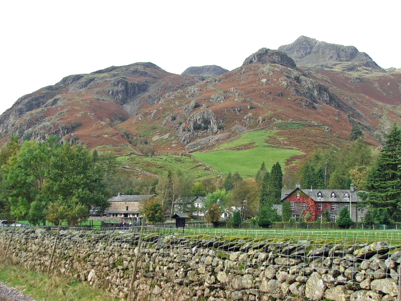
and to Dungeon Ghyll
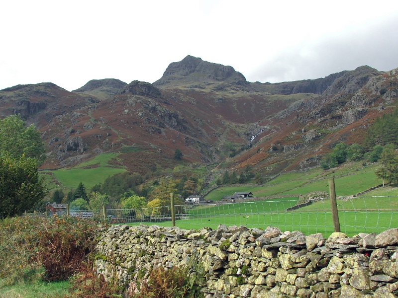
What a magnificent setting
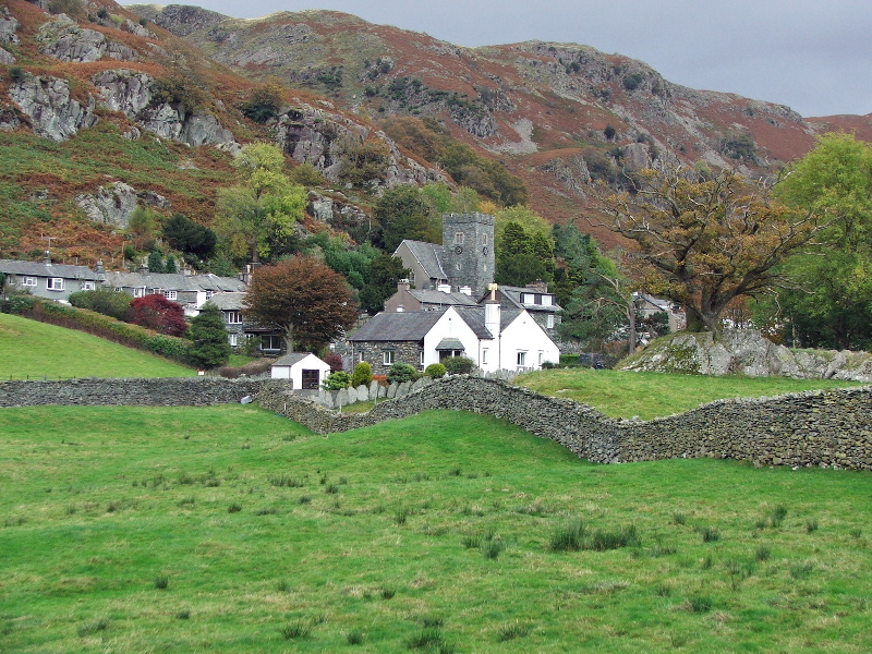
The church at Chapel Stile
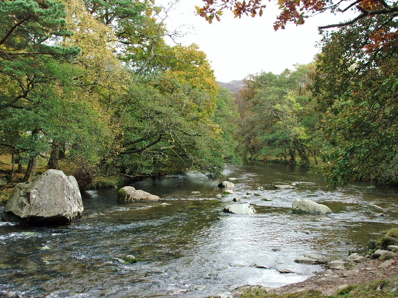
The Great Langdale beck at Chapel Stile
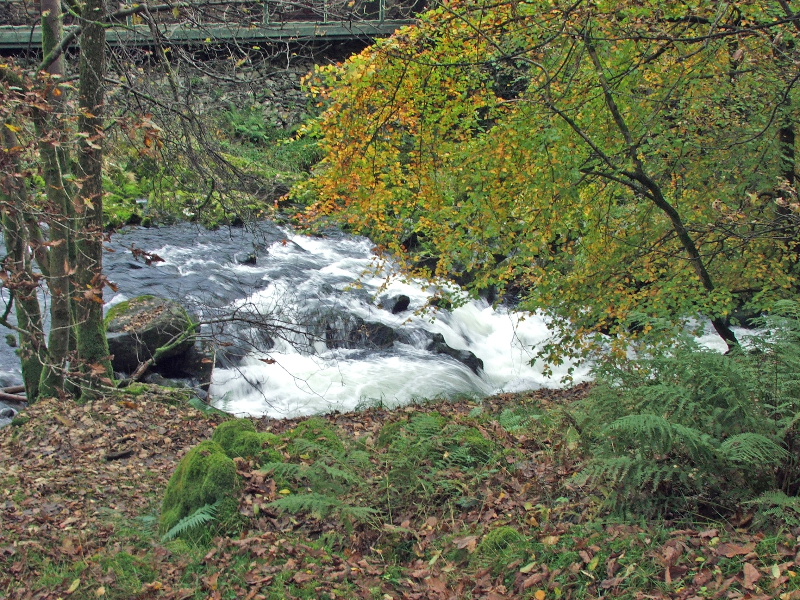
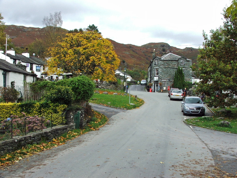
and finally back to Elterwater. Actually it was a lot busier than this picture suggests
Next Walk: 18th October 2007 -- Birkhouse Moor and Catstycam from Patterdale
Last Walk: 12th October 2007 -- Arnside Knott from Eaves Wood