| Area: | Lake District | Ascent: | 1005 feet |
| Walk No: | 98 | Time: | 3 hours 45 minutes |
| Date: | 13th November 2007 | Parking: | Stavely |
| Distance: | 8.75 miles | Weather: | Fine but overcast |
| Route: | Stavely - Browfoot - High Knott - Park Beck - Ullthwaite Bridge - Stavely |
I was by myself today and had decided to revisit an area that I had last walked upon some 15 years ago. After dropping off Edith at her brothers, who she visits most Tuesdays I made my way to Stavely near Kendal. My intention was to more or less follow the route in Wainwrights "Outlying Fells" to High Knott or Williamson's Monument but to do it from Stavely thereby adding about 4 miles to the journey. From Stavely my route took me up the Kentmere road to Scroggs Bridge from where I headed up to Browfoot. Now I know some people abhor road walking but walking along this particular one is quite pleasurable. It is a quiet road used mainly by walkers heading for Kentmere and the locals. Up to Scroggs Bridge it runs alongside the River Kent with it's small falls begging you to stop and admire. From Browfoot my route followed that of AW taking a path up through the fields to join the bridleway from Ings to Kentmere. The next section of the walk taking me to the summit of High Knott is not a right of way but many pairs of boots have made the short journey. Today as you will see later it took a little dexterity to navigate a stile that AW called "unusual". After visiting the summit I returned to the bridleway to follow it to where it crosses Park Beck where I doubled back to follow another bridleway down to Ullthwaite Bridge from where I returned to Stavely along the road.
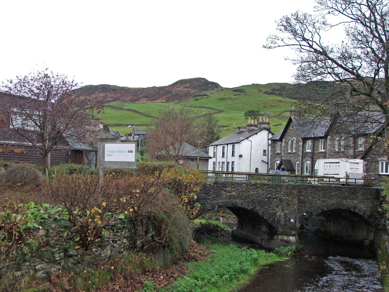
I parked the car at Stavely in the village centre. Looking up to Reston Scar from the village.
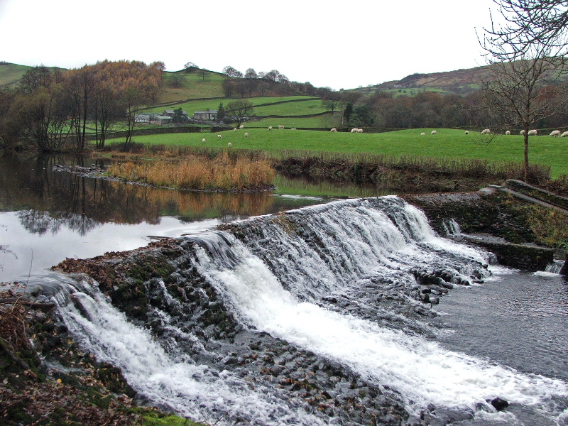
Walking up the Kentmere road near Barley Bridge
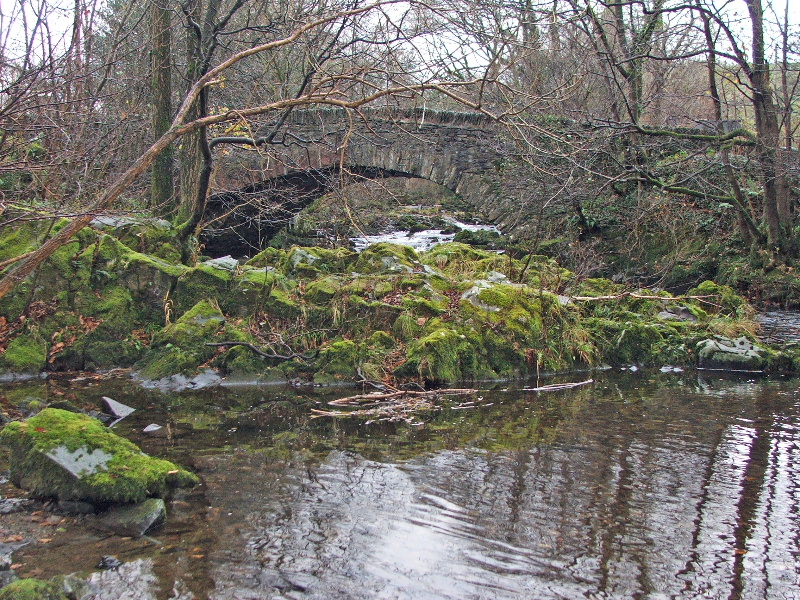
Scroggs Bridge. This is where I left the Kentmere road and walked up Browfoot Lane to Browfoot
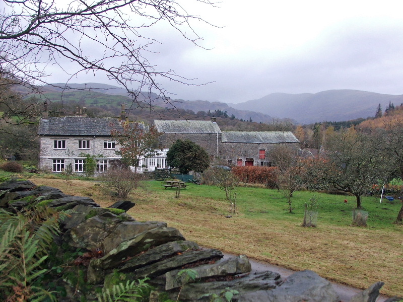
On Browfoot Lane near Goose Howe with Kentmere Pike in the distance
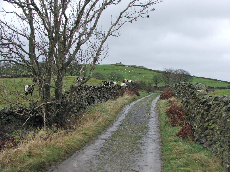
Having walked to Browfoot I took the path through the fields to join the Ings - Kentmere bridleway. A short walk along here would bring me to a gate through which a path goes up to the summit shown in the distance.
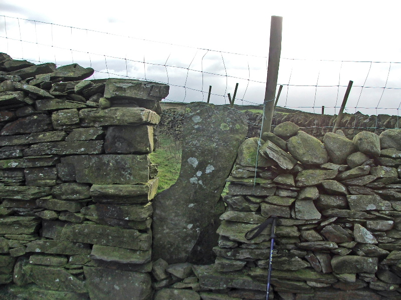
Wainwrights "unusual" stile. It was both unusual and interesting today with the addition of a wire fence across the top. It was negotiated by a mixture of limbo dancing and cursing all the time taking great care that personal parts were kept intact. I know this section of path to the summit is not a right of way but surely common sense should prevail. This will only encourage some people to climb the wall in another place.
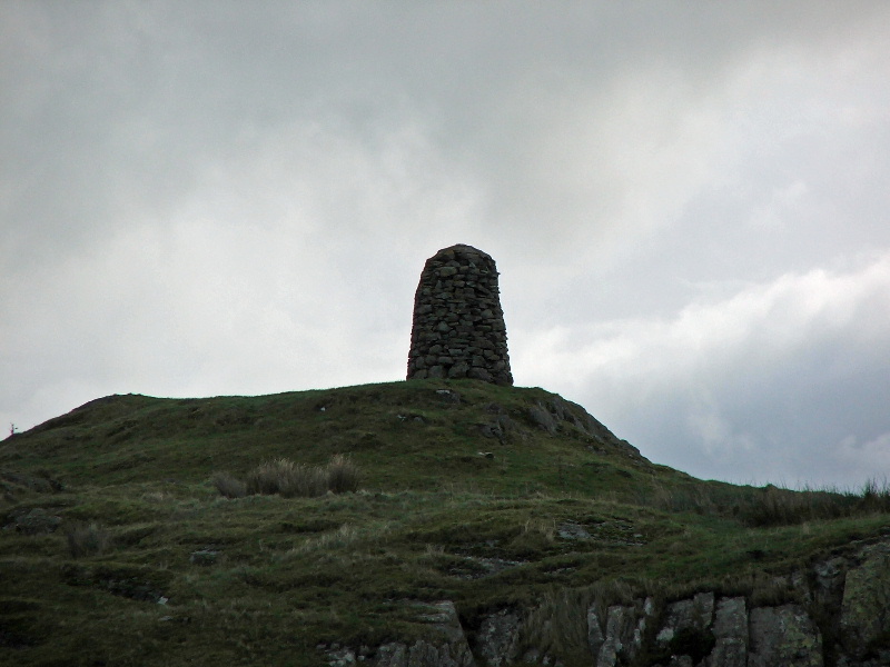
High Knott summit better known as Williamson's Monument. A inscription reads
"In memory of Thomas Williamson of Height, in Hugill, Gent who died Feb 13th 1797 aged 66 years. Erected 1803"
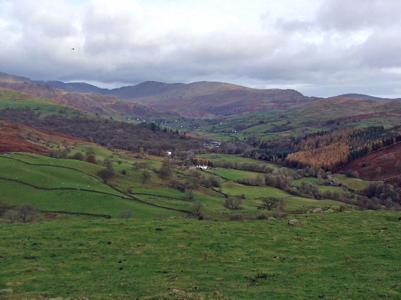
Looking to upper Kentmere with the eastern leg of the Kentmere Horseshoe
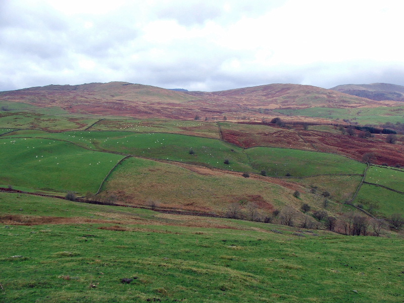
Sour Howes and Sallows
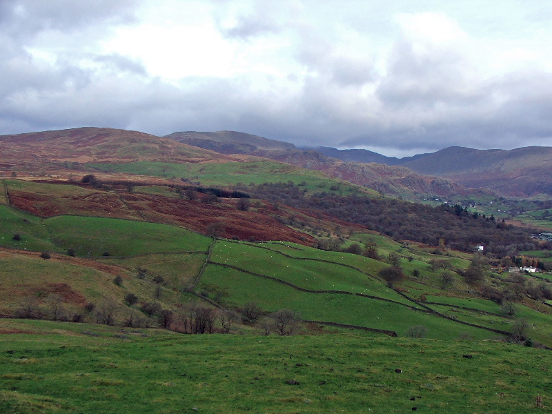
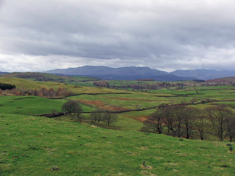
Westwards to the Coniston Fells and the Crinkle Crags
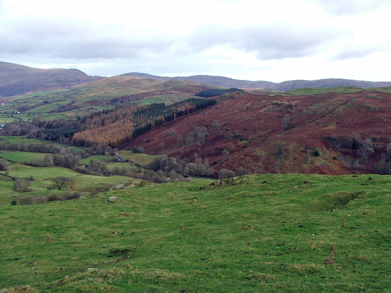
Looking down into Kentmere
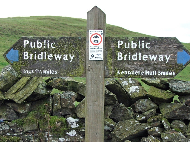
From the summit I returned to the bridleway and went N'wards towards Kentmere Hall
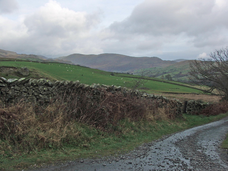
I would follow the bridleway as far as Park Beck. I didn't bother diverting to the British Settlement at Hugill as in AW's route. I've been there before and for the layman there isn't much to see. Anyway I was having enough problems with flooded bridleways!!
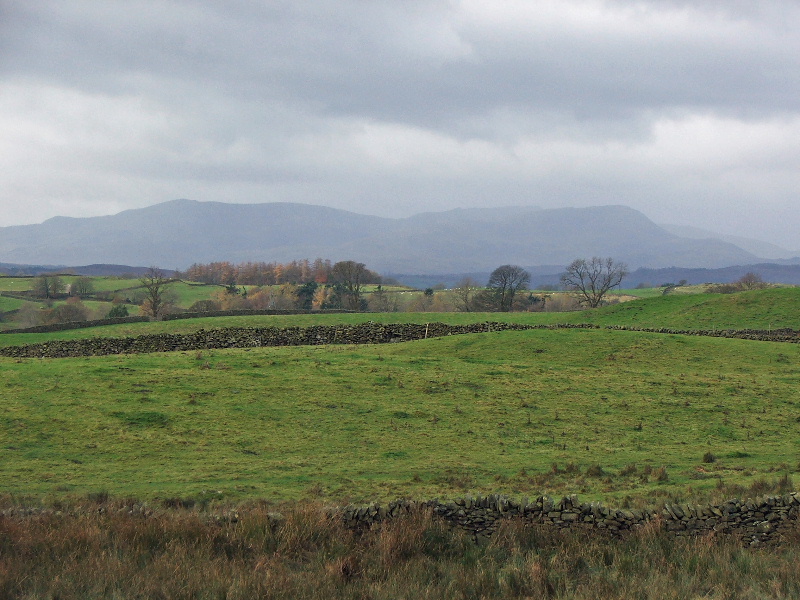
A hazy view to the Conistons
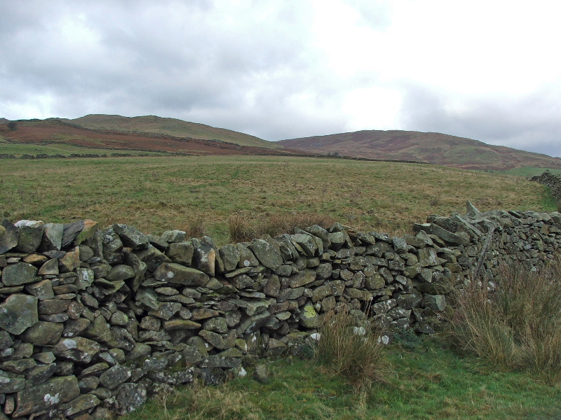
Sour Howes and Sallows
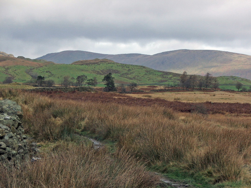
Kentmere Pike and Harter Fell from the path across Mickle Moss
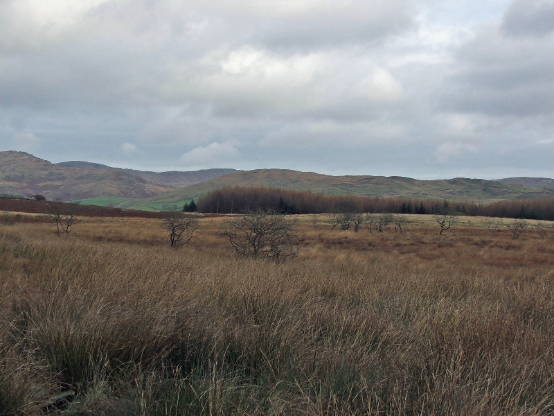
Looking across Mickle Moss to Green Quarter
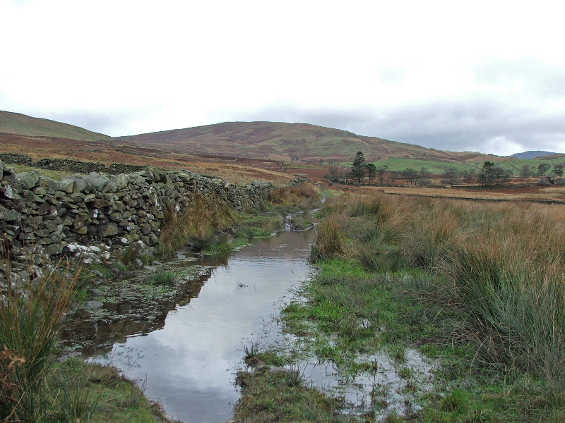
The path was a wee bit wet today. Leave this walk for a dry summers day when the walking up here is delightful
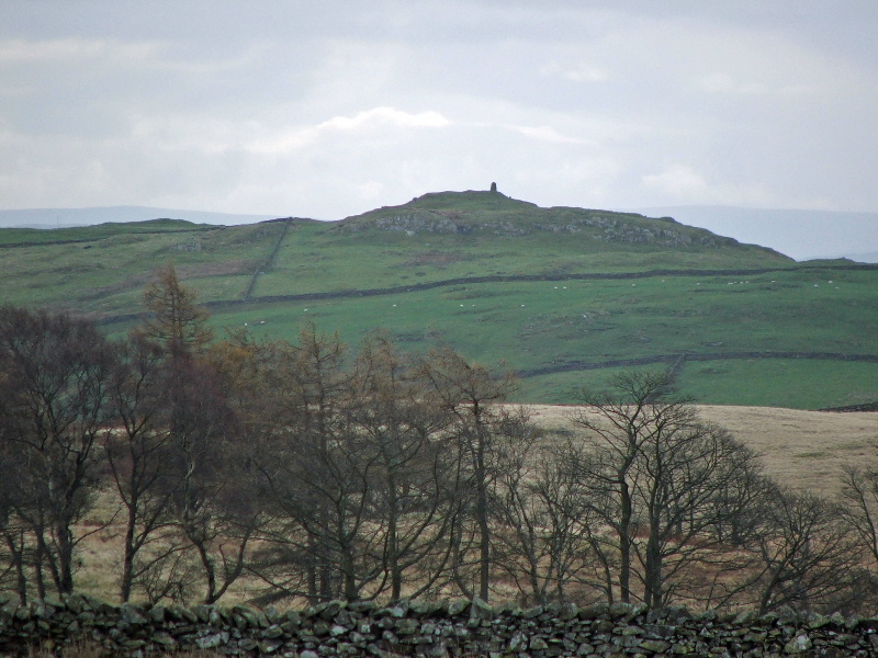
A close up of High Knott and another poor soul as managed that stile!....see him/her?.....just below the monument on the right
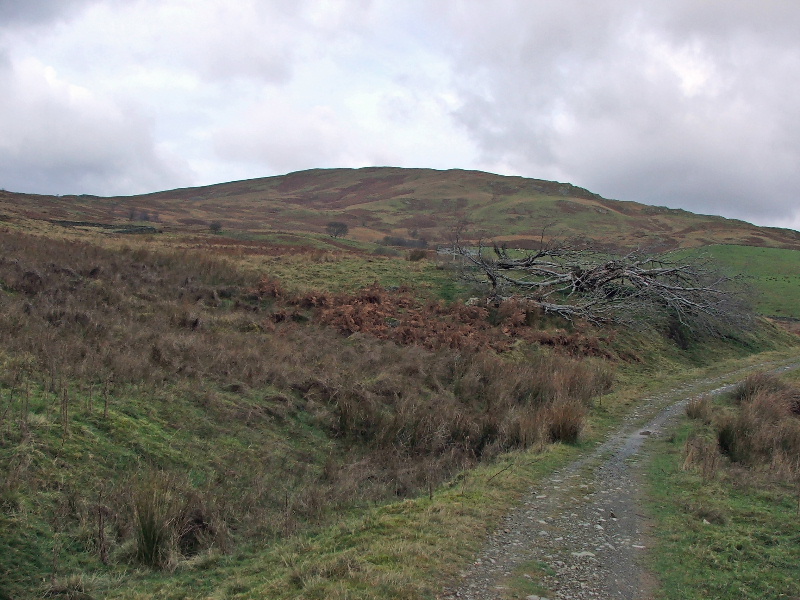
Approaching Park Beck with Sallows ahead
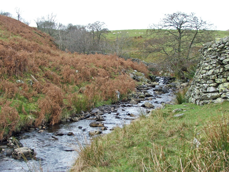
Park Beck. This is where I left the bridleway to Kentmere Hall to take one down into the valley
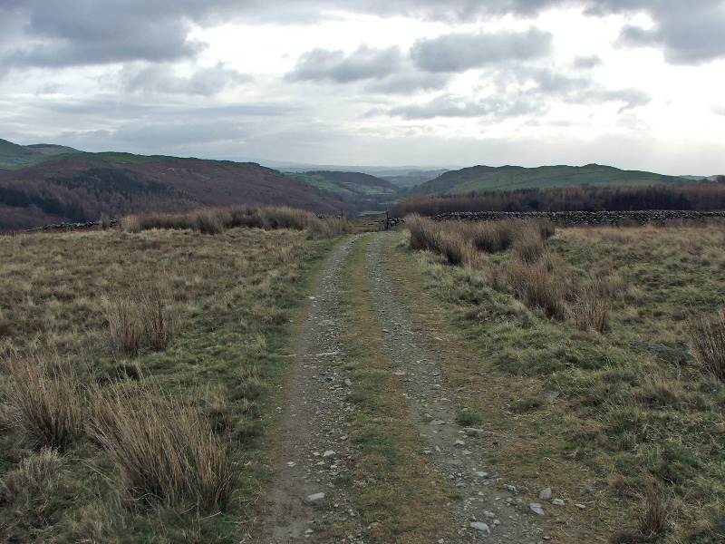
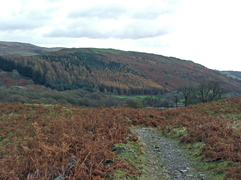
Fortunately the path back down was a lot better and drier
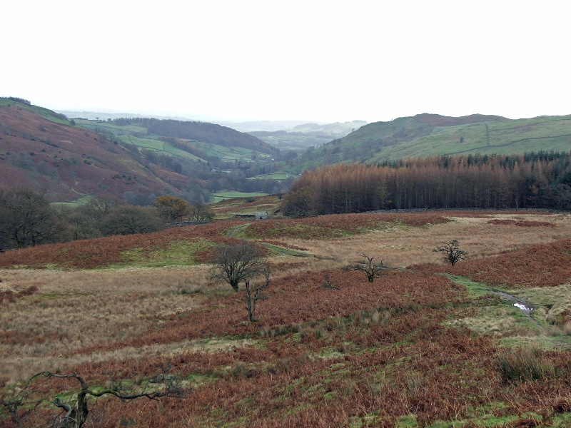
The path down to the valley
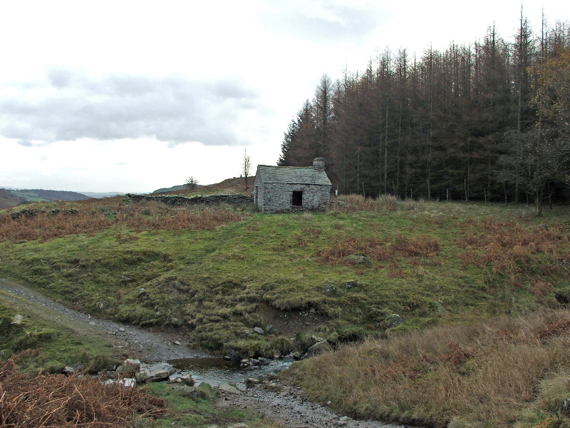
Where the path re-crosses Park Beck lower down there is this derelict cottage
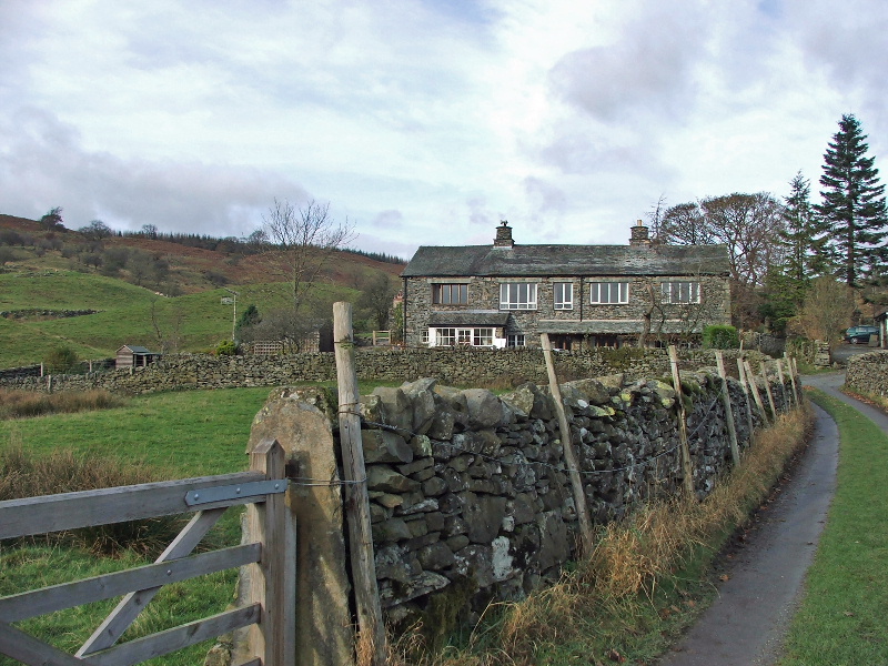
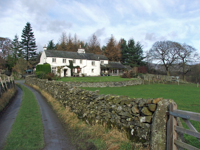
Croft Head
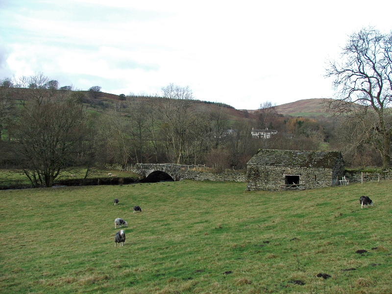
Ullthwaite Bridge, Wainwright called this Ulthwaite Bridge with just one L. A spelling mistake or was it spelt differently on his map?
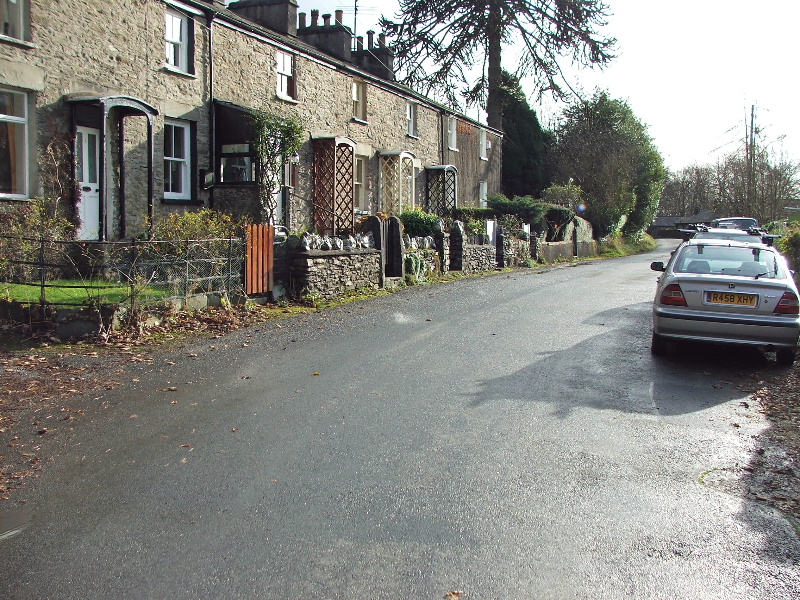
Passing through Low Elfhowe
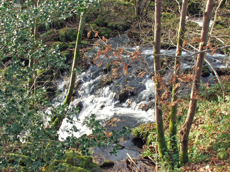
Small falls on the River Kent
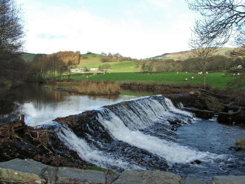
Back to the weir
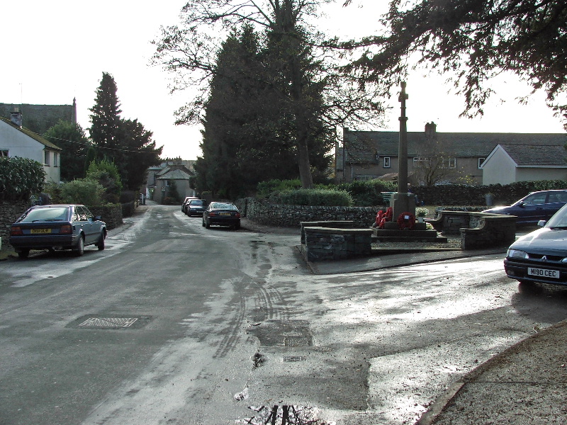
And finally back into Stavely
Last Walk: 11th November 2007 - Ingleborough Remembrance
Next Walk: 13th November 2007 - Reston Scar from Stavely
We hope you have enjoyed viewing this walk. If you have any comments please sign our Guestbook or E_Mail us