
| Area: | Lake District (South) | Ascent: | 727 feet |
| Walk No: | 111 | Time: | 2 hours |
| Date: | 12th January 2008 | Parking: | Staveley |
| Distance: | 3.75 miles | Weather: | Overcast with occassional light rain |
| Route: | Staveley - Reston Scar - Hugill Fell (highest point) - Hugill Fell ( Wainwright summit) - Staveley |
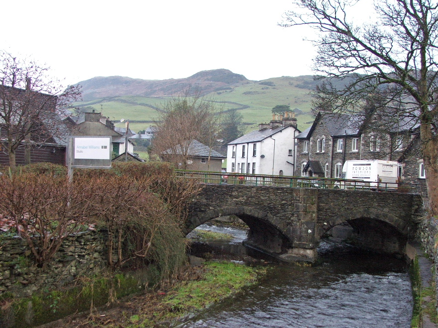
The weatherman had said that today would be the best day of the weekend so I had this little walk pencilled in a few days ago. When I put the cat out late last night the sky was cloudless so I thought I was in for a really good day. However the morning brought dark skies with quite low clouds but hoping that it would improve I set off for Staveley (Edith has still got a cold) and parked up there just before 10am. As I was putting my boots on it started with some light rain so I decided on trying Sods Law. This says that if I put all my waterproofs on it will usually fine up within minutes and the sun will come out. However today Mr.Sod was not for playing , in fact he served me up a double whammy.....(a) I had light rain on and off all the time on the fells.....then (b) when I returned to Staveley the sun came out!!
Looking up to Reston Scar from Staveley

On the well trodden path to Reston Scar and looking back to Staveley
From near the reservoir looking to Potter Fell and Brunt Knott
Near the summit of Reston Scar looking to a sunlit School Knott
Reston Scar summit.....I had spoken to the man on the top. He was a resident of Staveley and was trying out his new GPS.
Reston Scar summit cairn with Bannerigg behind
Eastwards to Brunt Knott
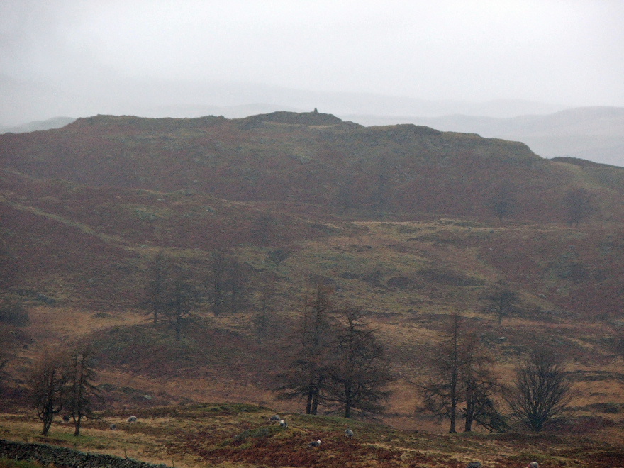
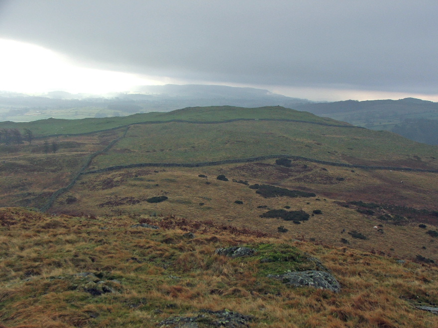
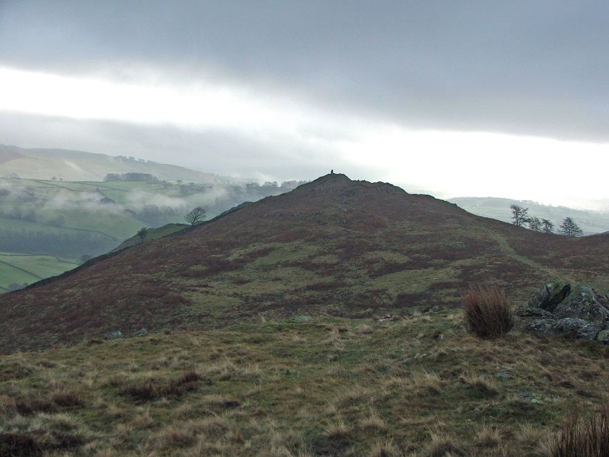
Northwards to Hugill Fell....The highest point is on the left with Wainwrights summit cairn just visible on the far right
A close up of the Wainwright summit cairn
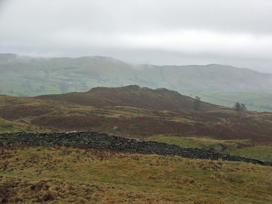
A rather dull picture but for continuity I am now on the highest point and looking back to Reston Scar.
...and to the "Wainwright" summit
..and now N'wards to High Knott known also as Williamson's Monument
On my way to "Wainwrights" summit and looking over Kentmere to Brunt Knott
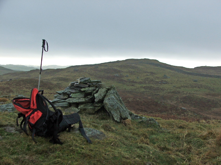
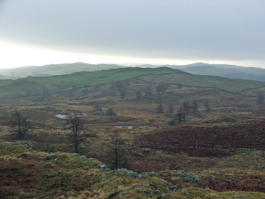
Just to the north of AW's "top" there is another higher top
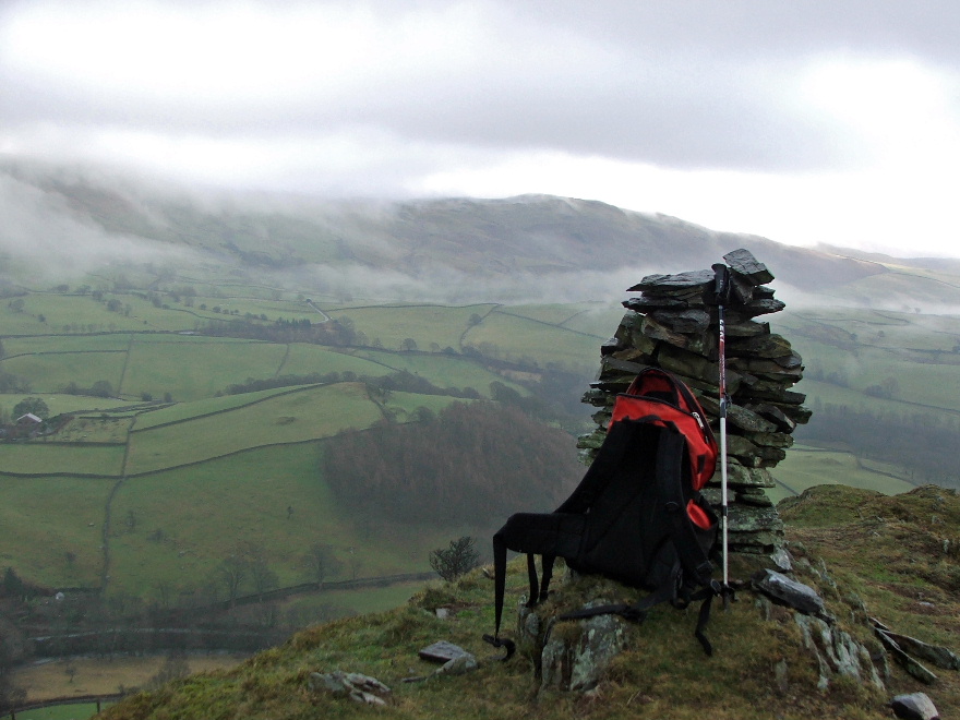
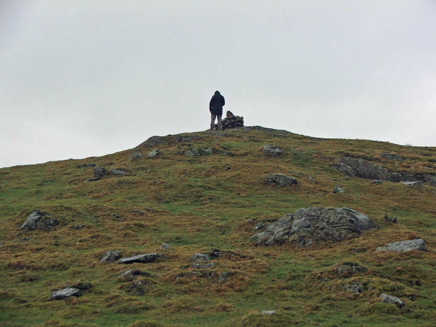
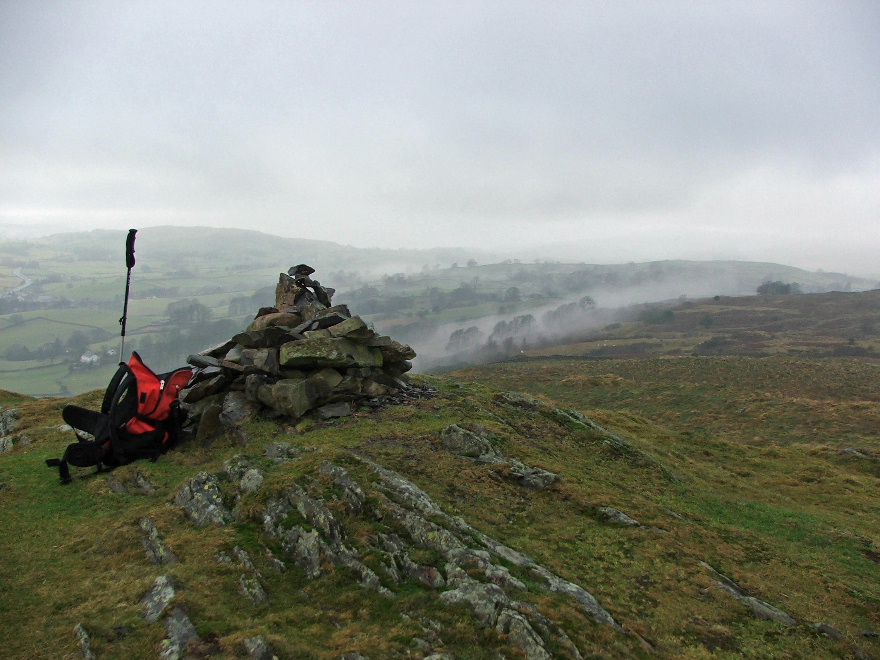
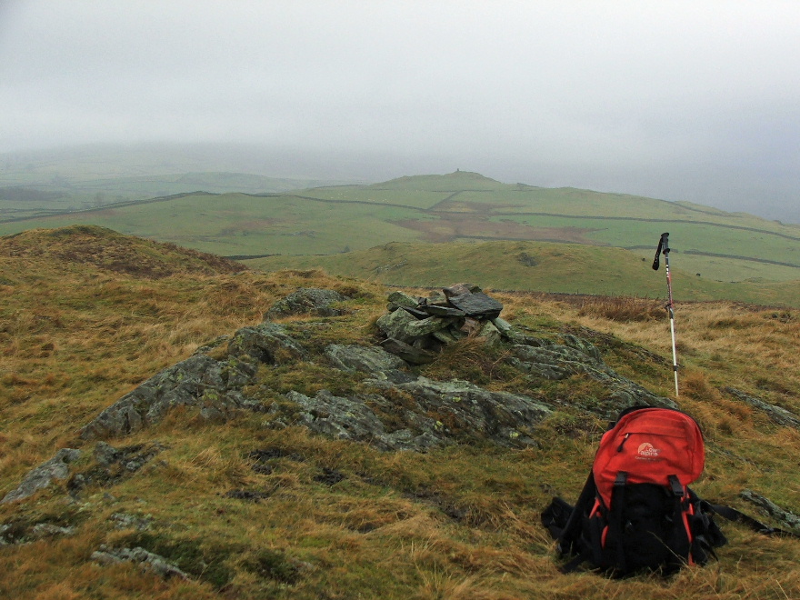
Finally I reach the fine cairn on AW's summit. Unfortunately the views aren't very good today
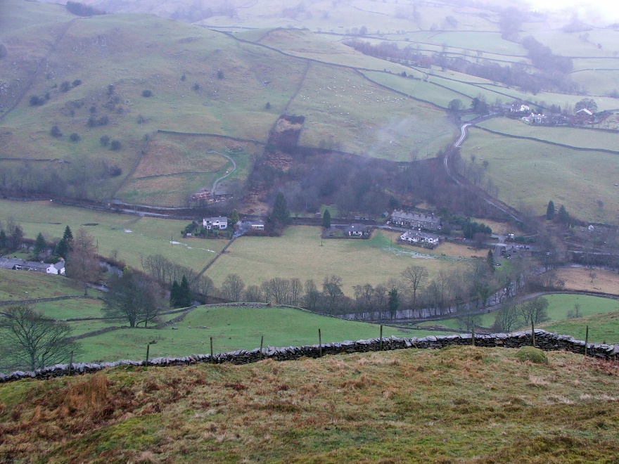
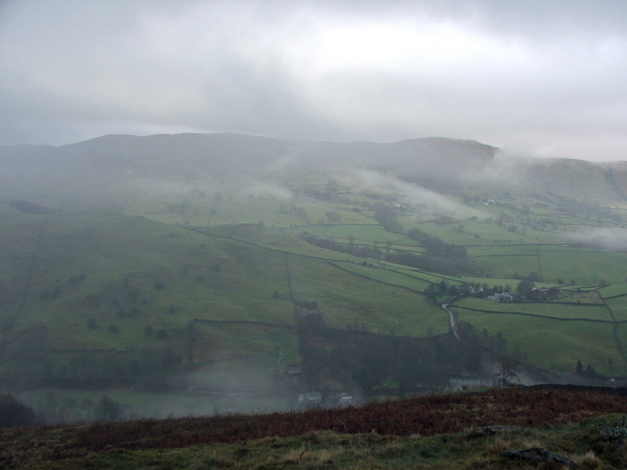
Looking down into Kentmere near Elfhowe
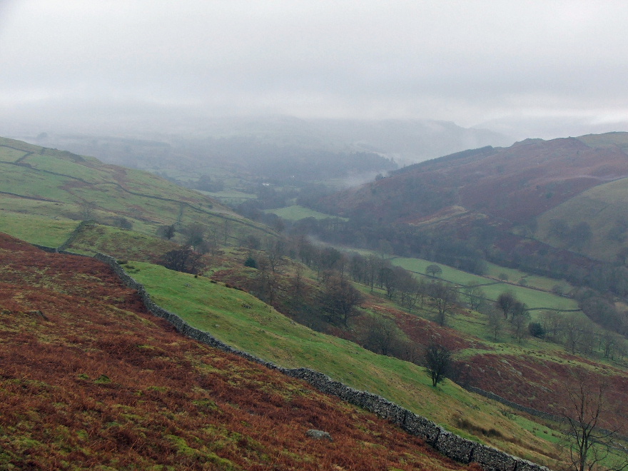
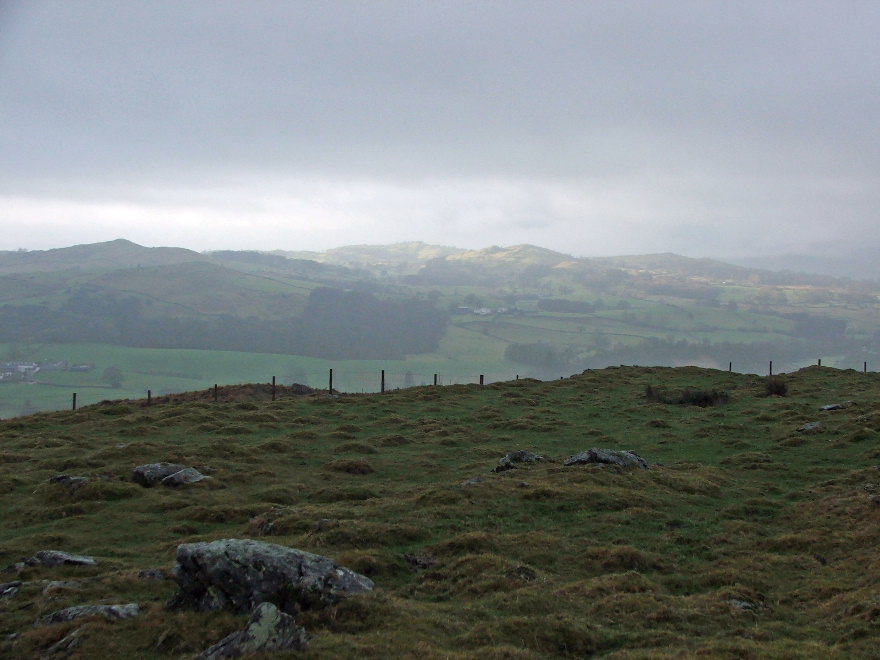
....and up the valley which was a little clearer at this point
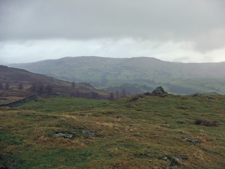
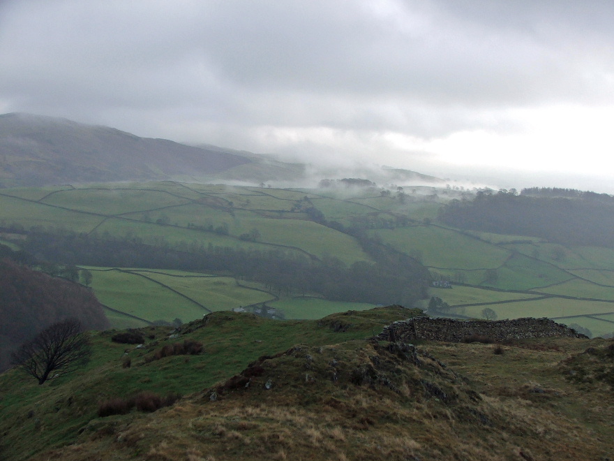
Looking across to Reston Scar
On the descent.....it looked a lot brighter to the south.....when I spoke to Edith later she said it had been a lovely day
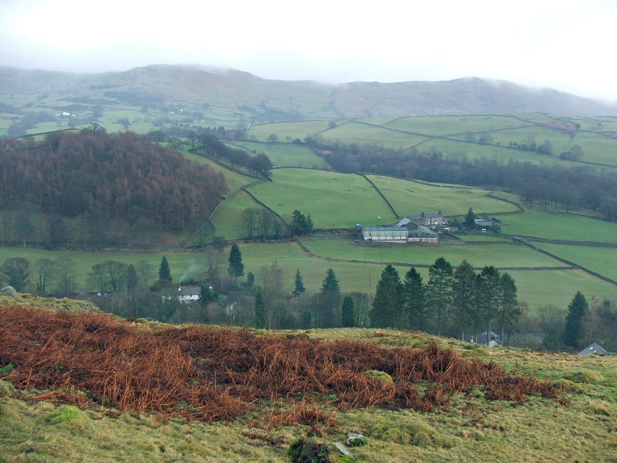
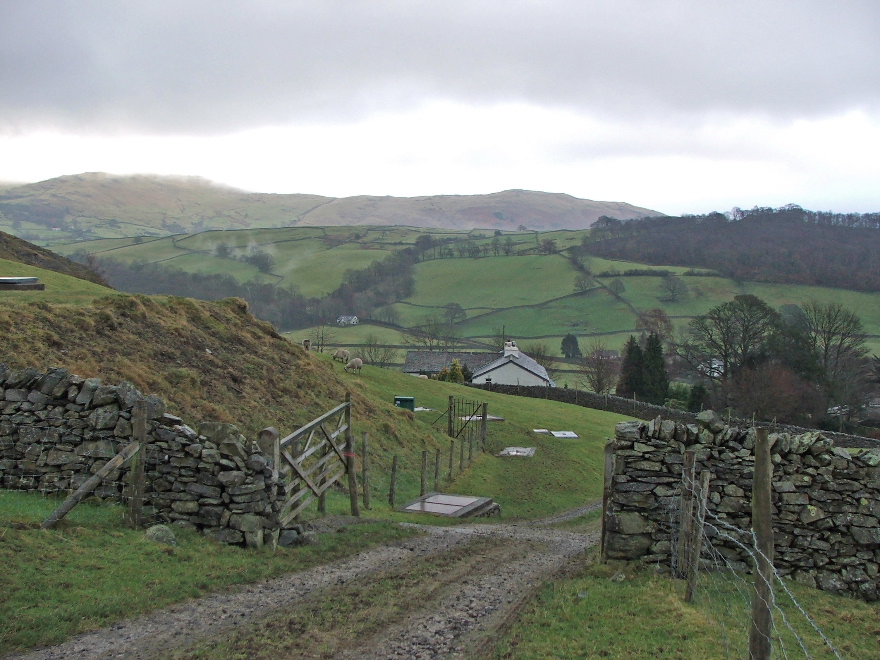
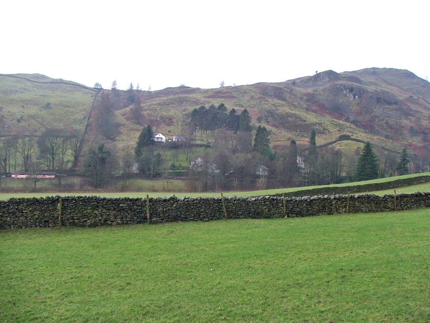
Looking down to Scroggs Farm which would be on my return route to Stavely
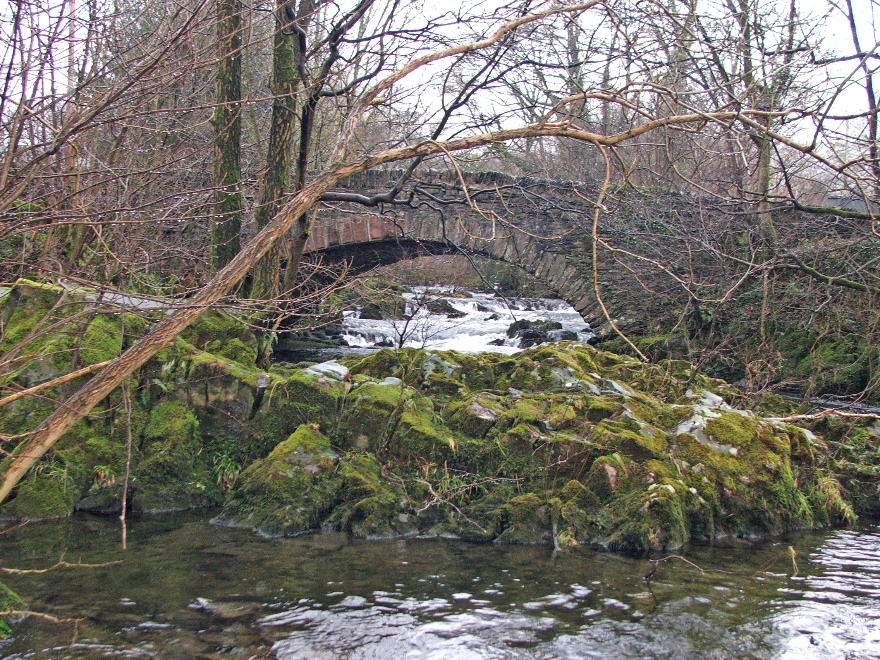
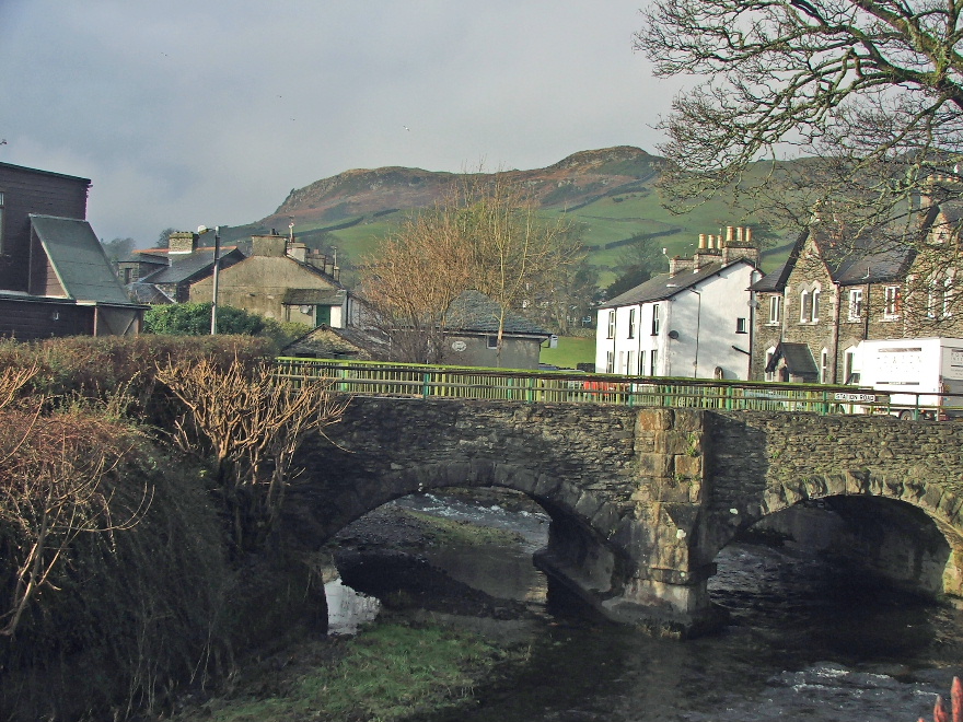
Back in the valley now and a peek at Scroggs Bridge
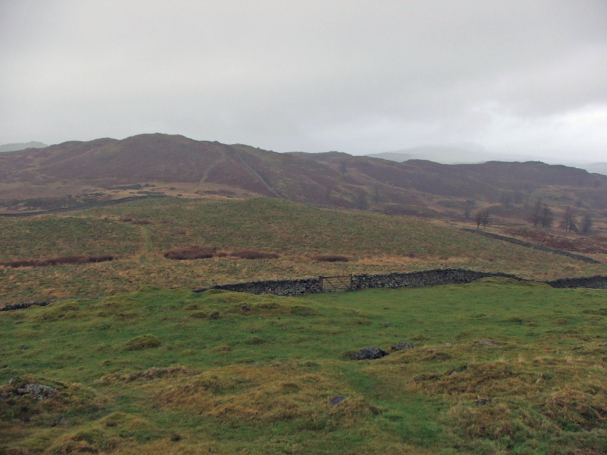
Hugill Fell from Scroggs farm. You can't actually see thecairn from here but the path goes to the left of the bungalow then turns up right
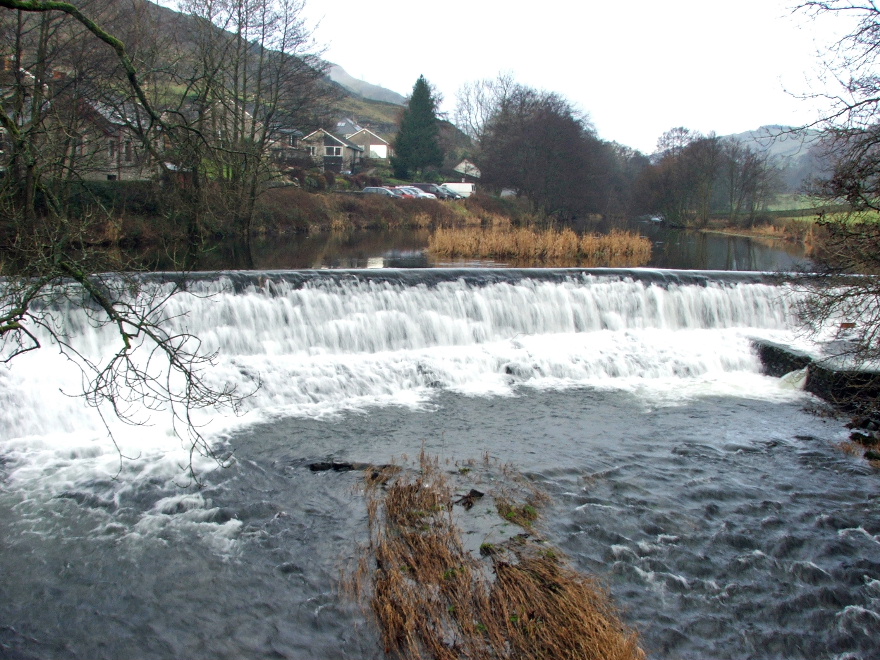
There was plenty of water coming over the weir at Barley Bridge
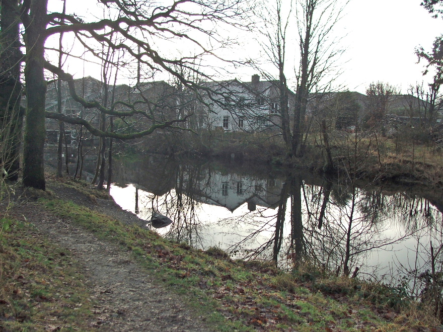
Reflections on a quieter section on my way into Staveley
And finally.....as I got back to the car....the sun came out.....compare this picture with the first one
Next Walk: 16th January 2008 -- Scout Scar from the Underbarrow Road
Last Walk: 11th January 2008 -- Arnside Knott from Arnside
We hope you have enjoyed viewing this walk. If you have any comments please sign our Guestbook or E_Mail us
