
| Area: | Local Walk | Ascent: | 248 feet |
| Walk No: | 181 | Time: | 2 hours 15 minutes |
| Date: | 1st July 2008 | Parking: | Crook O'Lune car park |
| Distance: | 4.50 miles | Weather: | Fine & Sunny.....Warm |
| Route: | Car - Caton - Car |
For those of you that are thinking of going onto the hills I would strongly recommend that you read the advice given by the Mountain Rescue organisation of England and Wales. To read this advice, which will open in a new page please click HERE. If you would like to make a donation to the Mountain Rescue organisation which is purely voluntary please click HERE. Please make the time to read the advice page.
I was by myself today and hadn't intended going for a walk but it was such a glorious morning that after taking Edith to her brothers I drove to the Crook O'Lune which lies about 4.5 to the NW of Lancaster for this short walk.
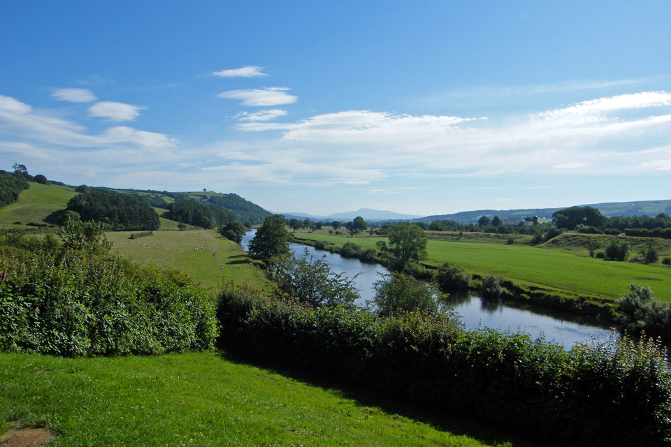
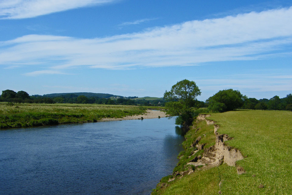
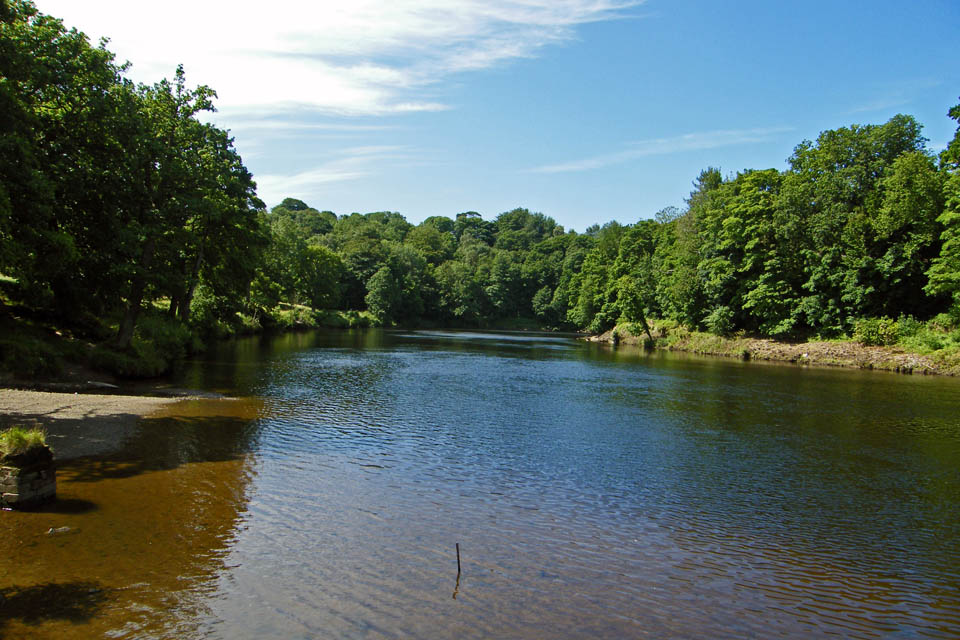
Looking upriver from the car park
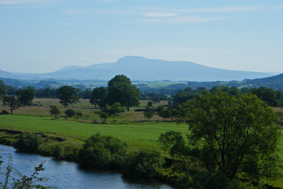
Zooming in on a hazy Ingleborough
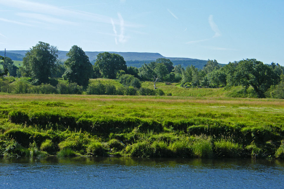
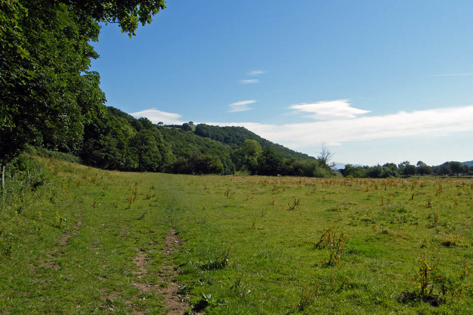
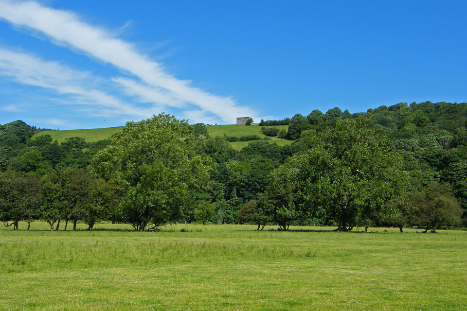
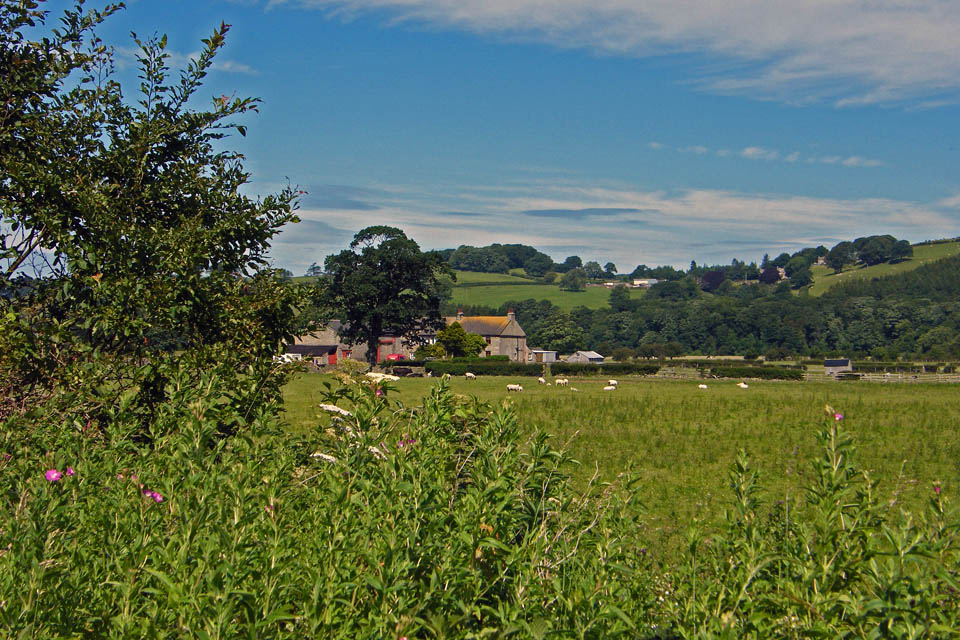
Looking towards Halton Park
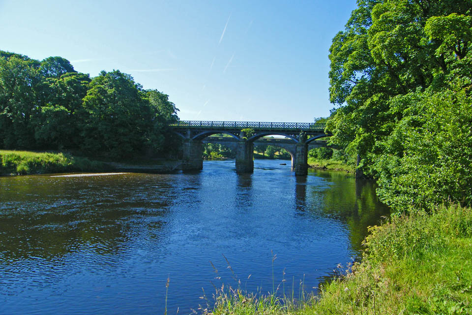
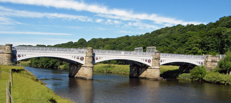
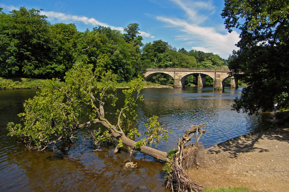
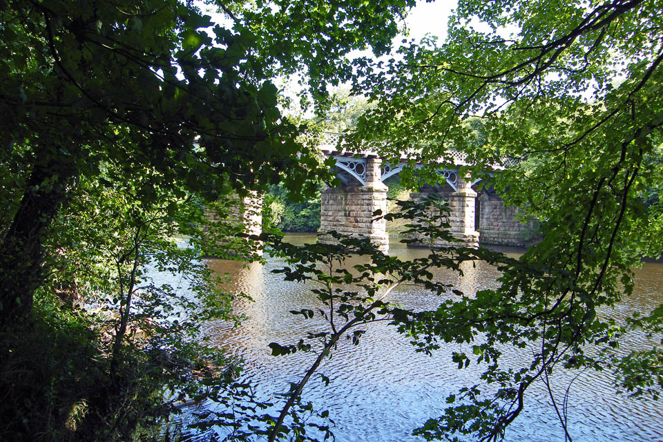
There are three bridges across the River Lune at the Crook O'Lune. Two of them are redundant railway bridges which now are a cycleway. The other is a road bridge. This picture shows one of the railway bridges in front of the road bridge.
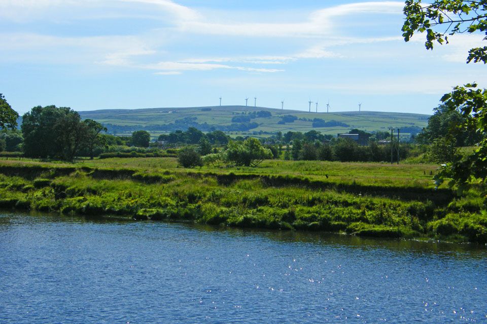
Looking across the river to Caton Moor with its windfarm.
A close up of Clougha Pike
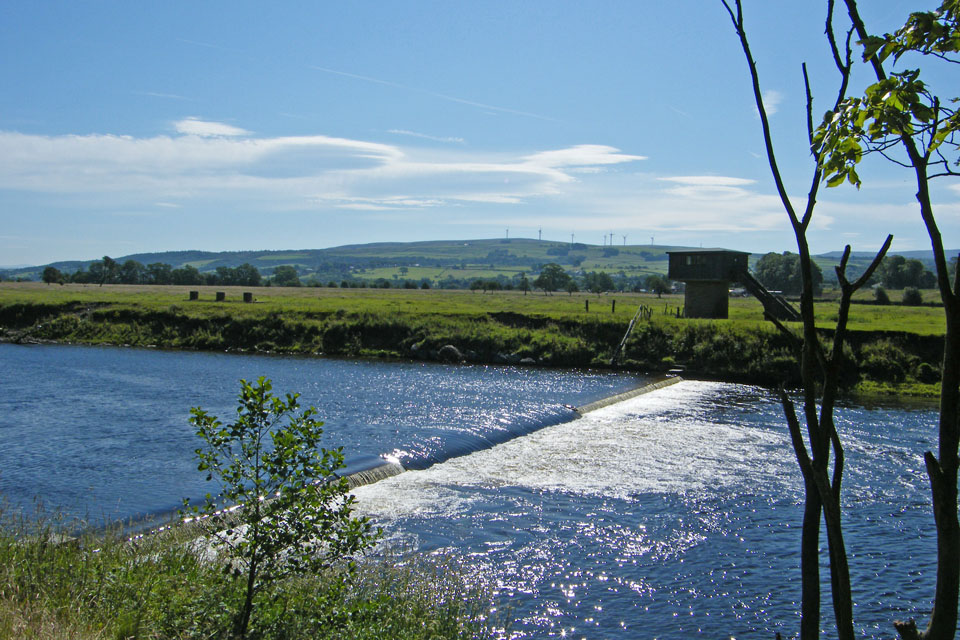
The weir at Caton
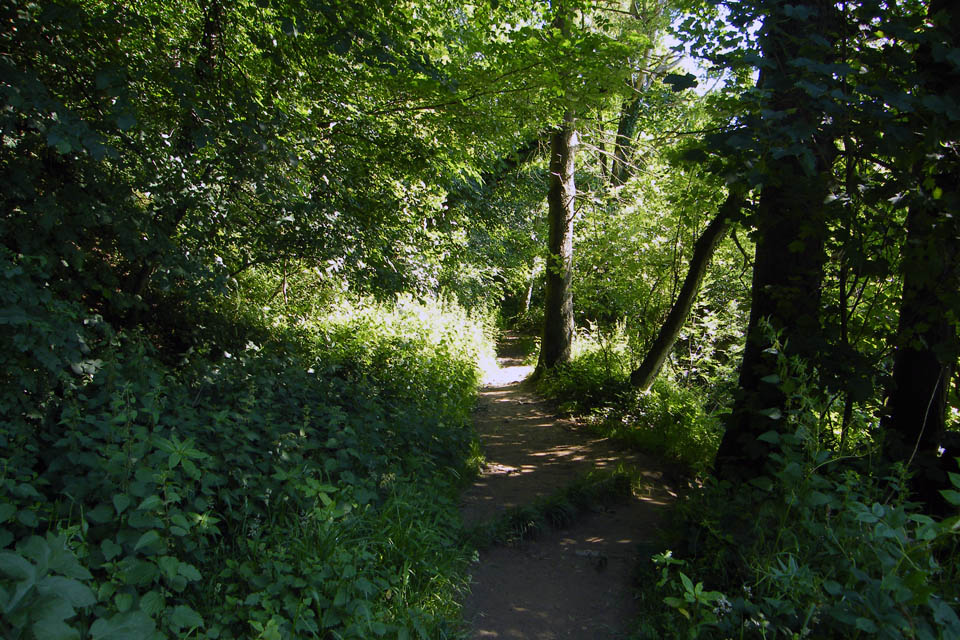
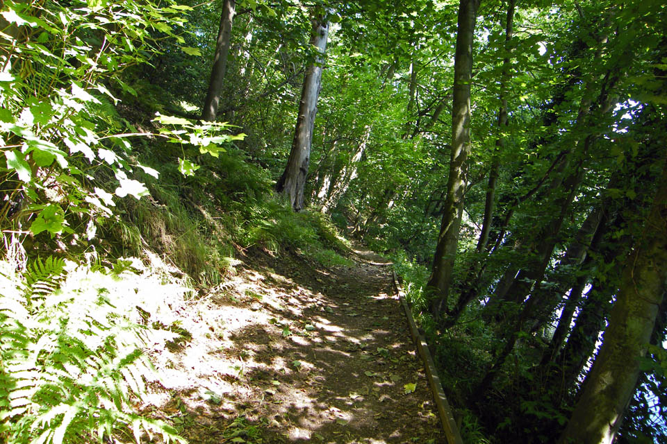
Through a short wooded section
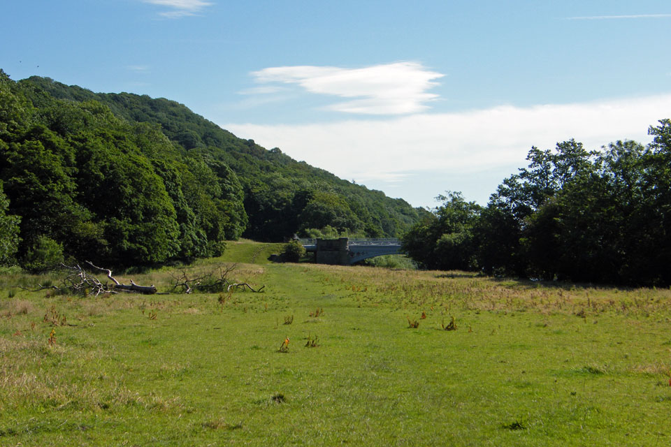
Approaching the point where I will cross over to the other bank
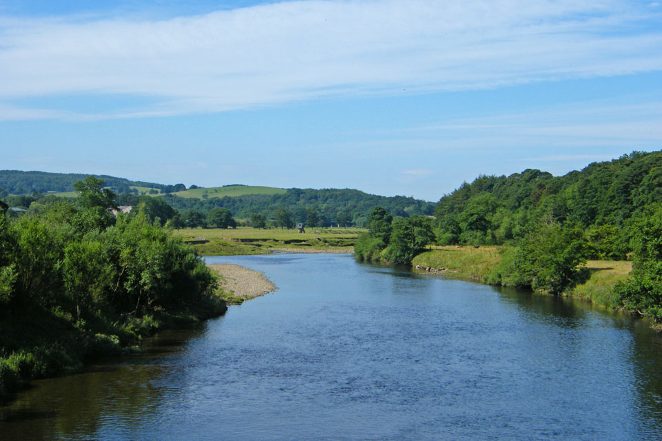
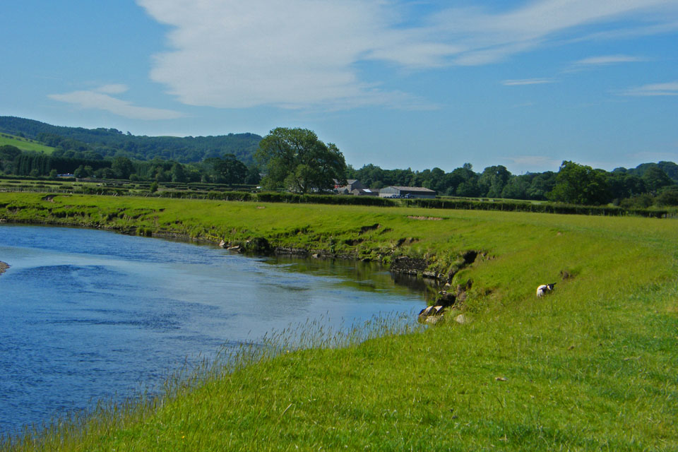
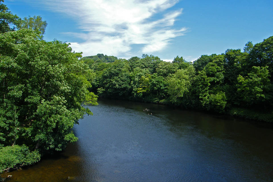
Looking down river from my crossing point
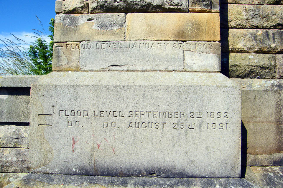
Markings cut into the stone show previous flood levels. The highest show was a full 8 feet above ground level and approx 20 feet above the current river level.
This was my crossing point. A magnificent structure constructed in 1906 and part of the Thirlmere to Manchester aqueduct. It carries 4 pipes, each about a metre in diameter over the river. The aqueduct 95 miles in length and fed solely by gravity supplies Manchester with about 40 million gallons of water a day from Thirlmere in the Lake District.
There are a number of these stones near to the aqueduct. I seem to rember reading somewhere that they marked the spot where fish was sold in the old days. I do know that in the village of Caton there is a monument known as the fishstones. If anybody reading this as any information regarding these stones I would be grateful for this information.
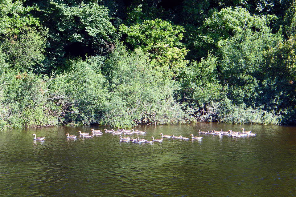
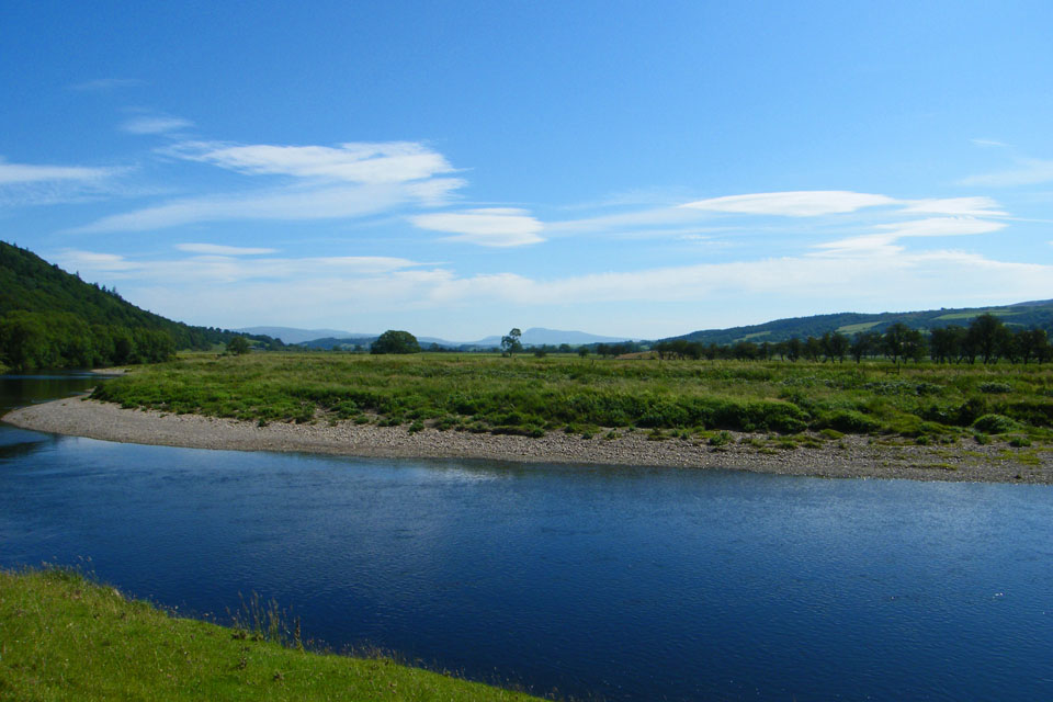
An armada of geese sail down river
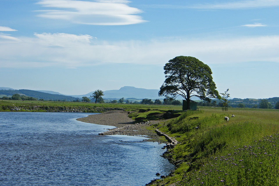
At this point the river does a big meander...it first doubles back on itself and then does a U bend before continuing in the same direction. The hut that can be seen behind the tree is one of a number along the river used by the salmon fishermen to store there gear whils fishing in the river.
The building on the hillside is part of the Thirlmere aqueduct. At this point I have walked about 0.75 miles from the aqueduct yet it is only a couple of hundred yards away behind the trees.
Around this point I left the riverside to go to the old railway line.
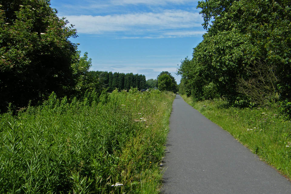
Heading back towards Caton
Ellers Farm
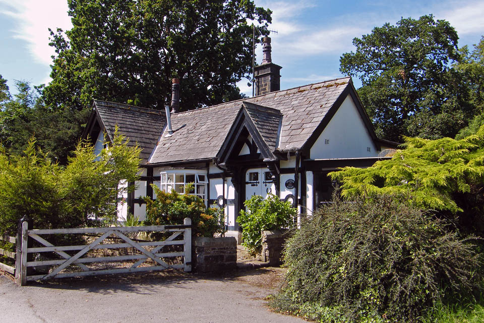
I decided to leave the cycleway at Caton to get a bottle of water. I hadn't bothered bringing any and by now it was very warm. This is Station Cottage at Caton
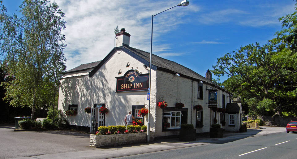
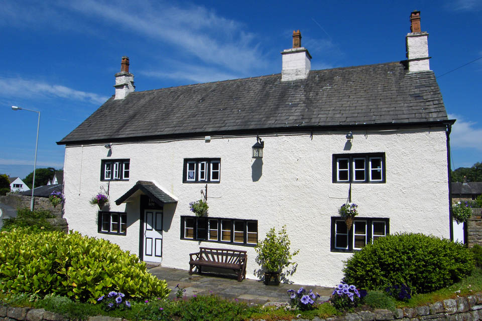
The Ship Inn at Caton
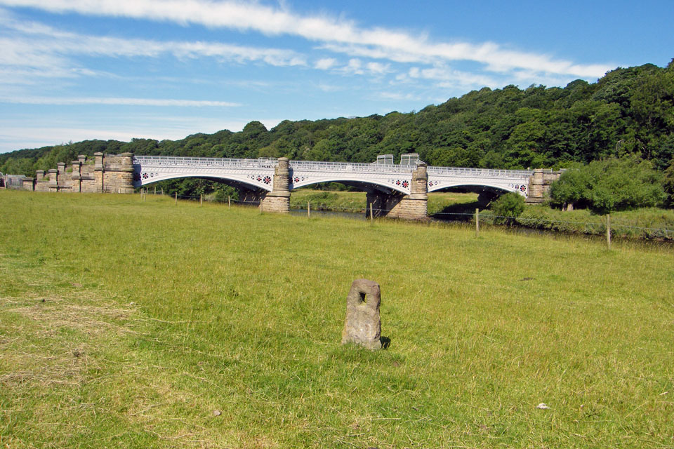
From Caton I dropped down to the River to follow the Crook round. The two bridges are those shown earlier but from the other side.
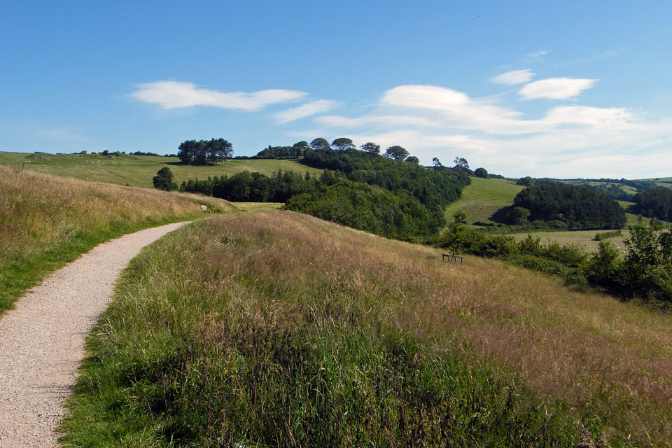
The path that follows the river around the crook is a bit up and down but easy to follow
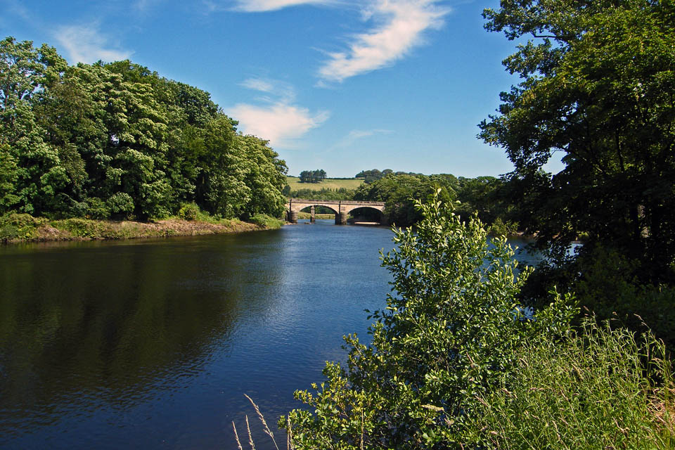
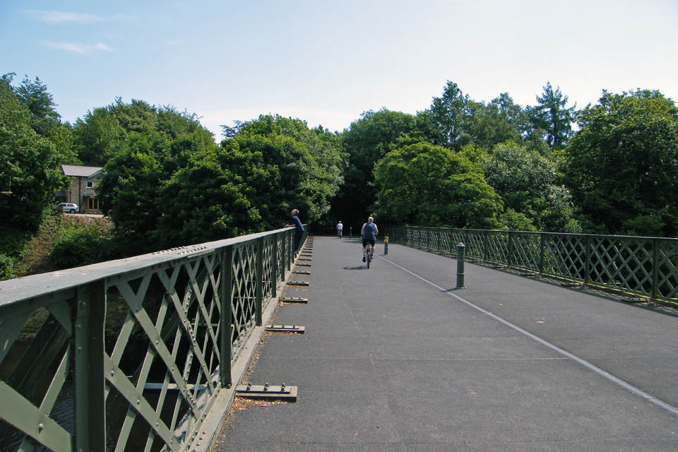
Eventually the second railway bridge comes into view. This would be my return to the car park.
Looking down river from the bridge.
Nearly back now....
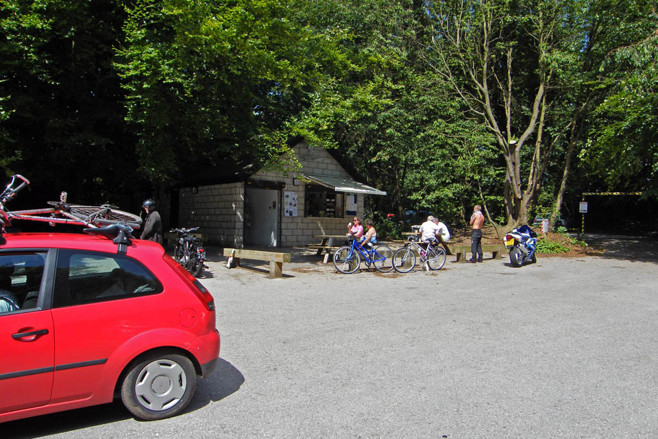
Back to the car park and a bacon buttie at Woodies!!
Next Walk: 4th July 2008 -- Embsay and Barden Moor from Black Hill
Last Walk: 30th June 2008 -- Norber & Crummackdale from Clapham
We hope you have enjoyed viewing this walk. If you have any comments please sign our Guestbook or E_Mail us
