| Area: | Local | Ascent: | 77 feet |
| Walk No: | 197 | Time: | 1hour 45minutes |
| Date: | 12th August 2008 | Parking: | Overton near Globe Hotel |
| Distance: | 4.25 miles | Weather: | Fine with sunny spells |
| Route: | Overton - Sunderland - Sambos Grave - Sunderland Point - Sunderland - Overton |
For those of you that are thinking of going onto the hills I would strongly recommend that you read the advice given by the Mountain Rescue organisation of England and Wales. To read this advice, which will open in a new page please click HERE. If you would like to make a donation to the Mountain Rescue organisation which is purely voluntary please click HERE. Please make the time to read the advice page.
After 3 days of wet & windy weather the sun finally put in an appearance around 3pm. Edith was at her brothers so I grabbed the camera and made the the short 10 minute drive to Overton. You can park at Sunderland Point but by leaving the car at Overton it puts a little bit of distance on the walk.
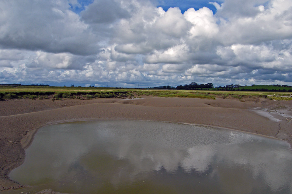
I left the car at Overton and walked along the road towards Sunderland. The road is under water twice a day at high tide so if your visiting check the tide tables. This picture taken from Wood bridge shows the deep muddy gullies of Lades Marsh.
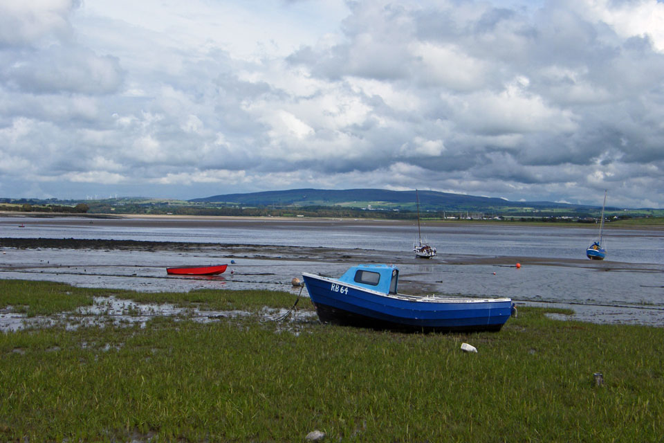
Almost at Sunderland and looking across the River Lune to Clougha Pike
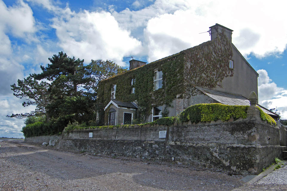
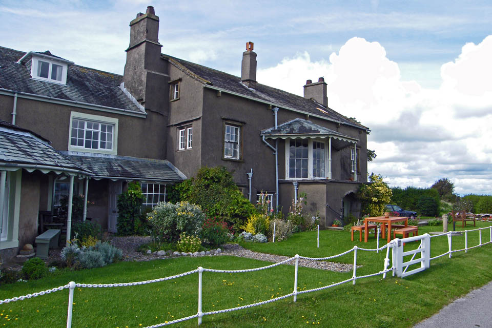
This is the start of what is known as First Terrace at Sunderland. There is a parking area for cars to the right of this picture along with Public Toilets. If you need anything else it's back to Overton for you.
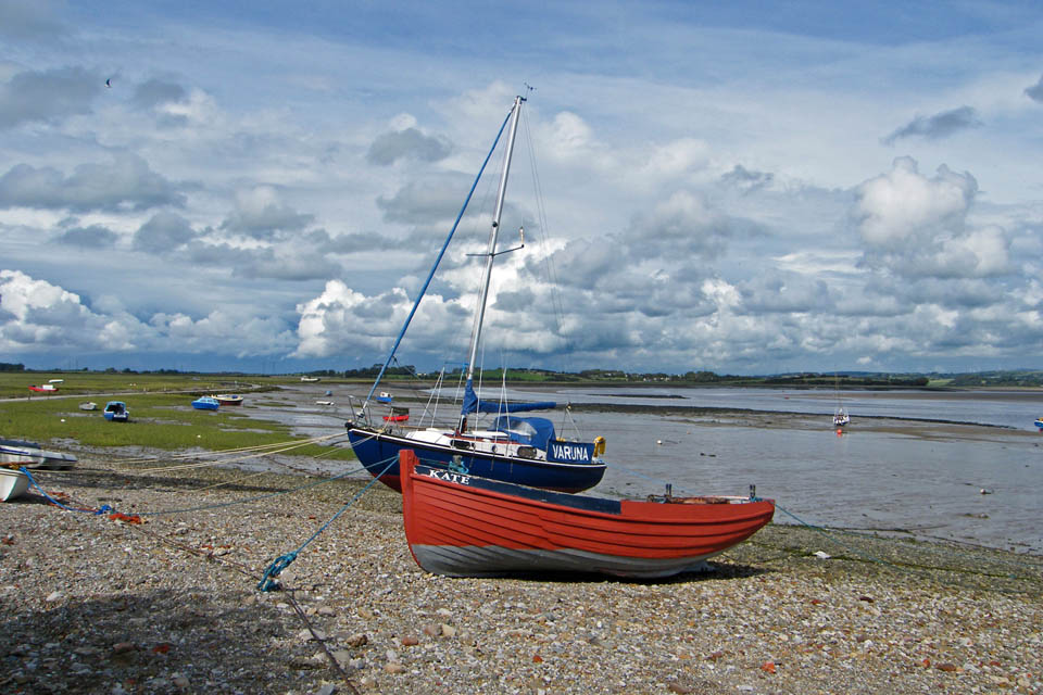
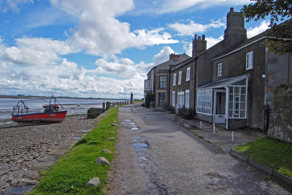
First Terrace, Sunderland
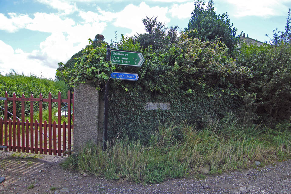
At the end of First Terrace turn right down The Lane
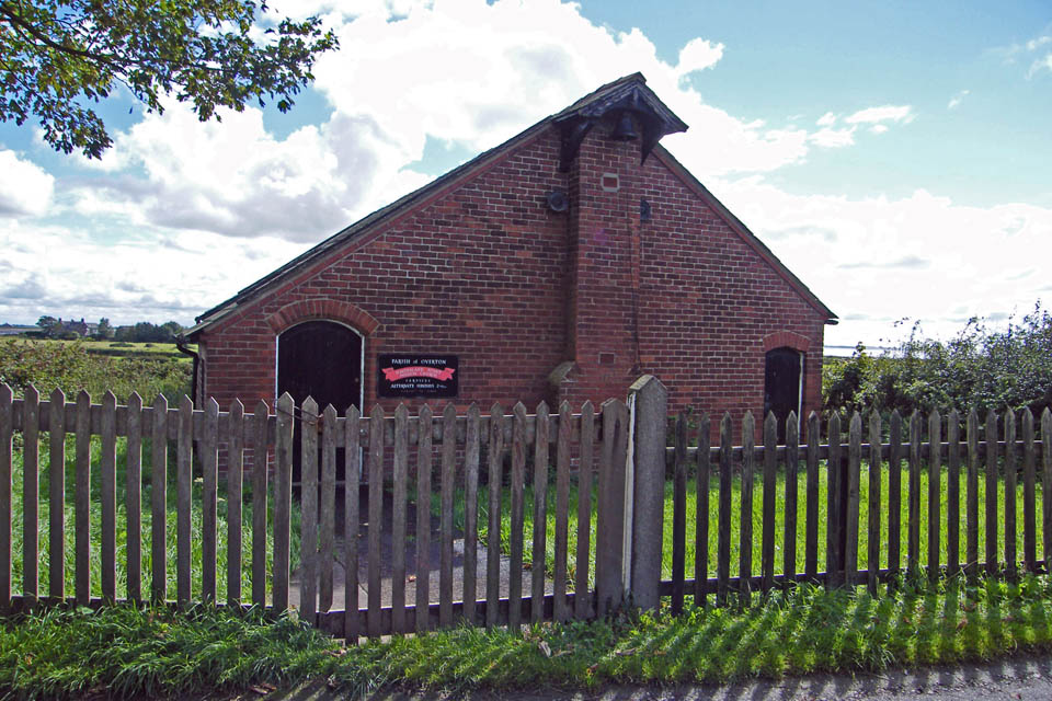
Passing the church on the left
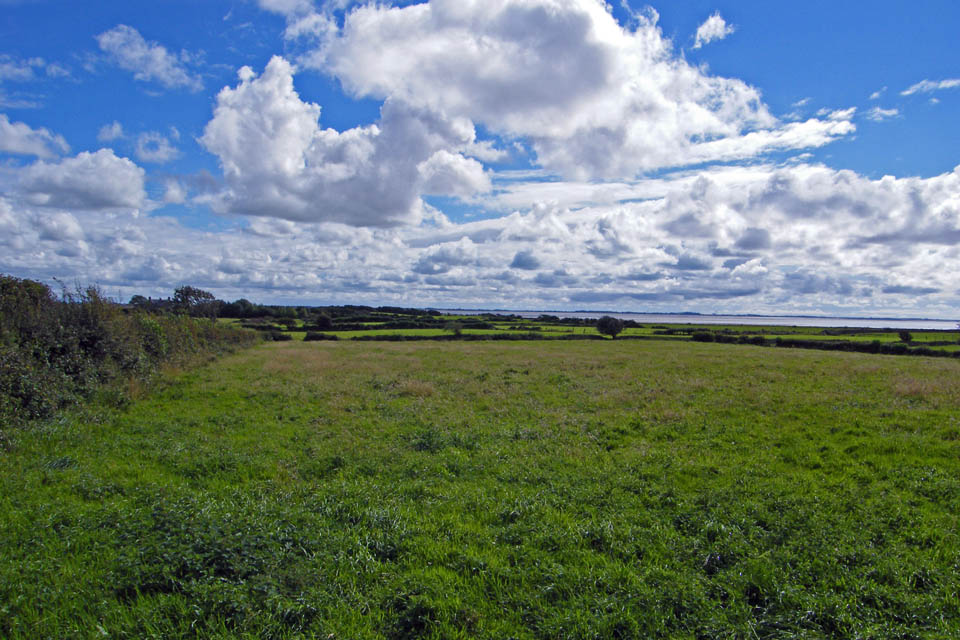
Looking south to Sunderland Point about 0.5 miles away. The coastline in the distance is the Pilling and Fleetwood area.
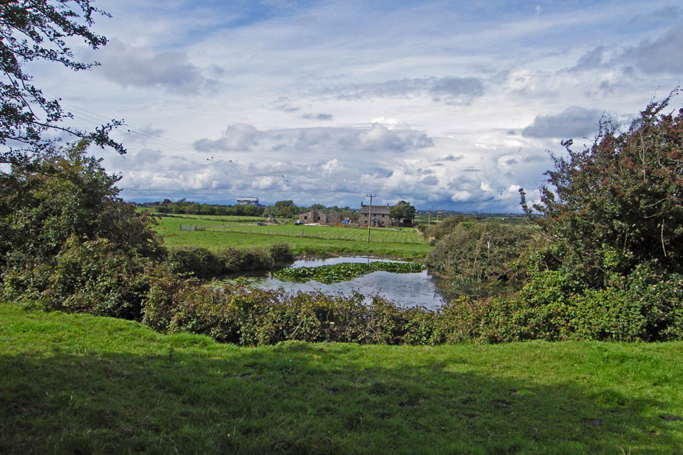
A look over the wall on the right to Meadow Farm
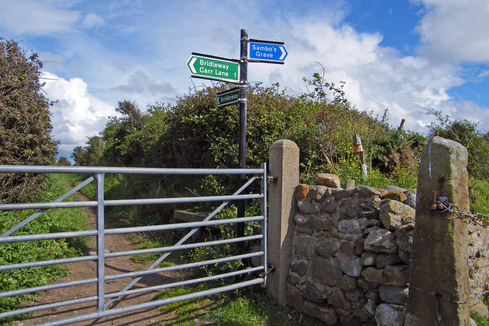
I am now on the West Shore. From here it is only a just over a 100 yards to Sambo's Grave
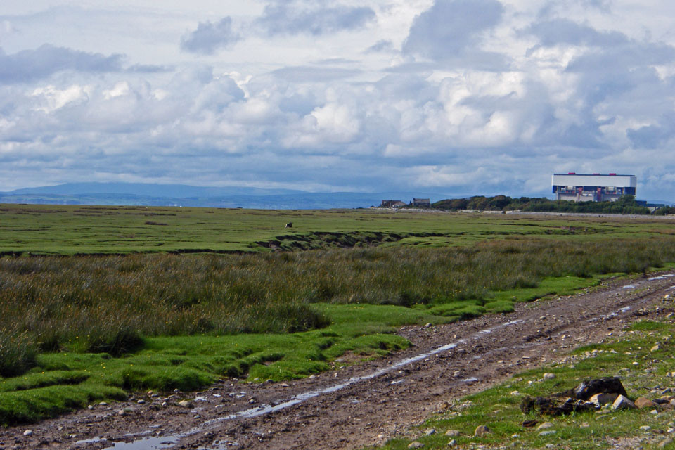
Looking the other way to Heysham 2 Nuclear Power Station.....my old workplace with a still cloud-topped Black Combe across the bay.
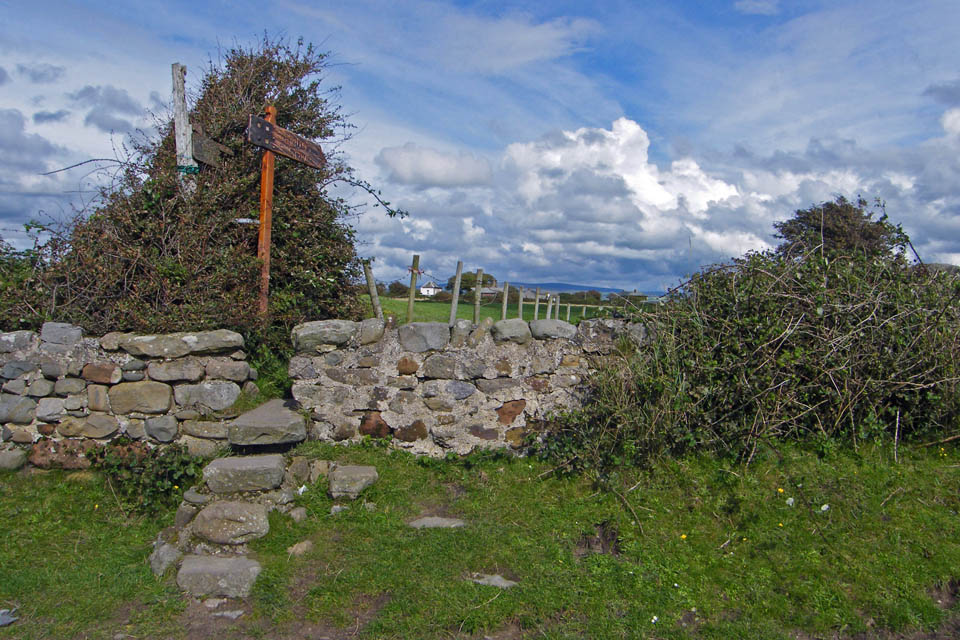
The way to the grave
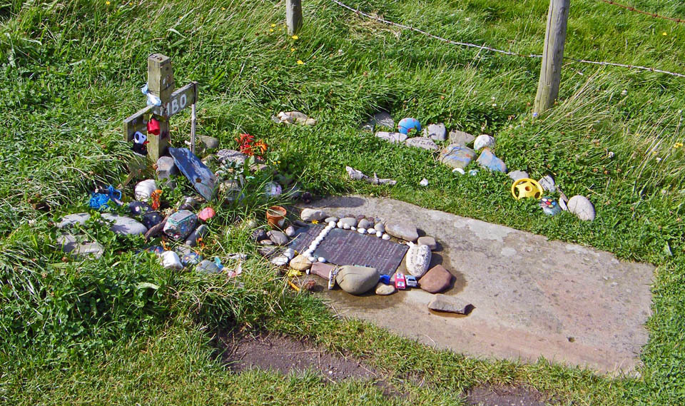
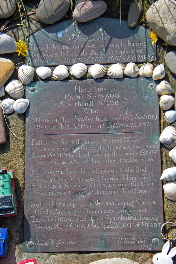
The grave as always was looking good. It as been looked after by both local and visiting children since I can remember.
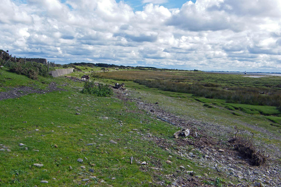
From the grave I continued south to walk around the point. With this being a tidal shoreline there are large quantities of marine debris deposited here. There are quite a few tree trunks which may have come down the Rivers Leven, Kent , Keer , Lune or Wyre into the bay or maybe they are from further afield.
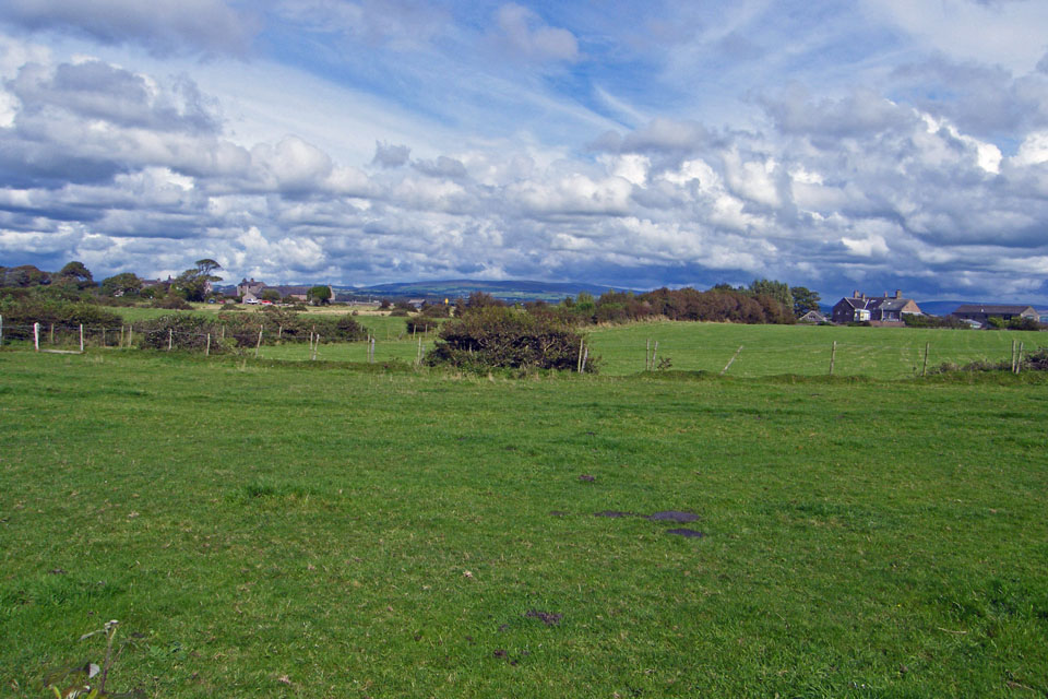
Looking across the peninsula now only about 110 yards wide at this point
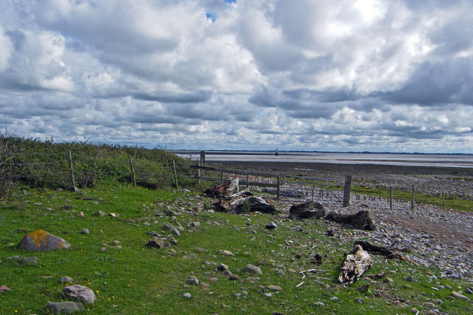
Starting to walk around the point.....Anybody collect driftwood?

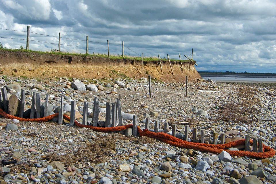
Marine litter, in this case an old mooring rope entangles itself in the old sea defences.

Coastal erosion
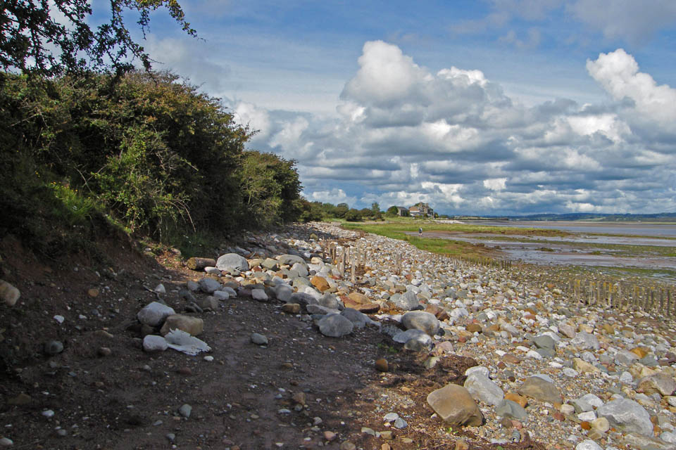
Back on the east or riverside shore and heading back to Sunderland.
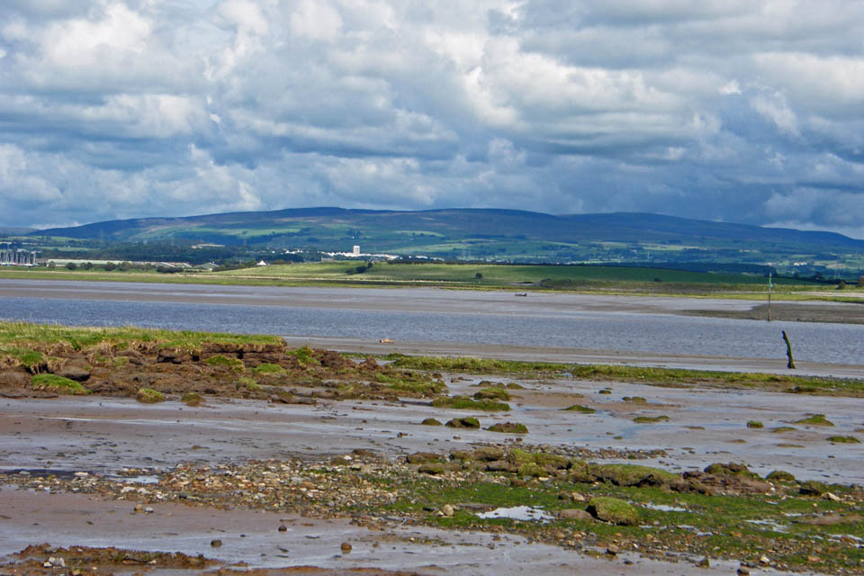
Looking across the Lune to Clougha. The buildings below are part of the Lancaster University campus.
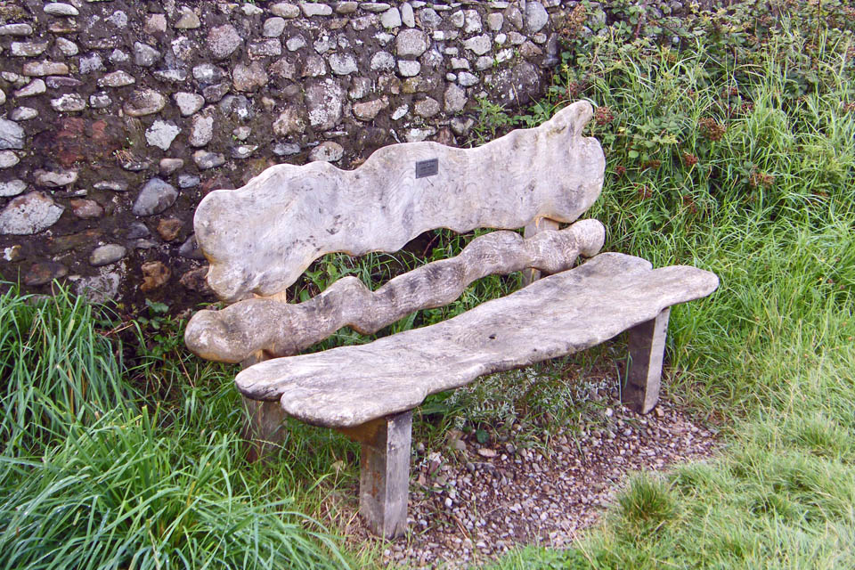
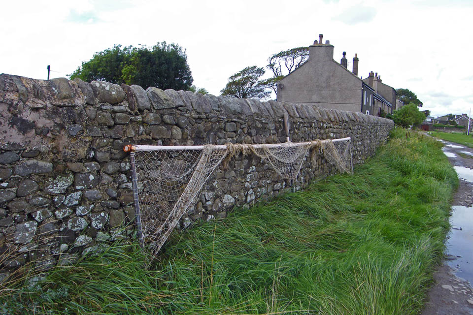
Approaching Second Terrace. The net is an Haaf or Heave Net and is the old way of Salmon fishing on the River Lune. I believe that similar nets are used along the Solway Firth.
The net itself is suspended from an 18-foot long horizontal wooden or aluminium pole supported by three legs. This frame is placed across the current by a fisherman standing behind the net in the cold water and holding the central upright. The net streams out in the water and bags, or pokes, form in the net. As soon as a fish swims into the net the legs of the frame are allowed to float to the surface thereby trapping the fish, which is disabled by a blow from a wooden club called a nep, priest or killer. A rope is threaded through the gills of the fish, using a wooden needle, and tied to the waist of the fisherman until he returns to the shore
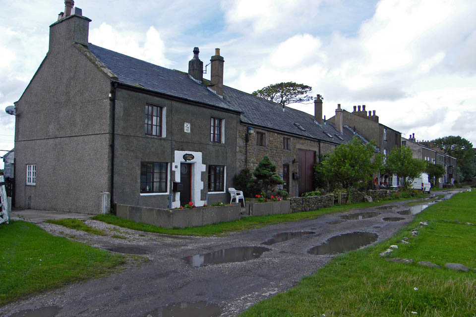
Second Terrace, Sunderland. It was along this stretch that the famous "Cotton Tree" grew. It was actually a Kapok tree but unfortunately on New Years Day 1998 in a fierce storm it was blown over.
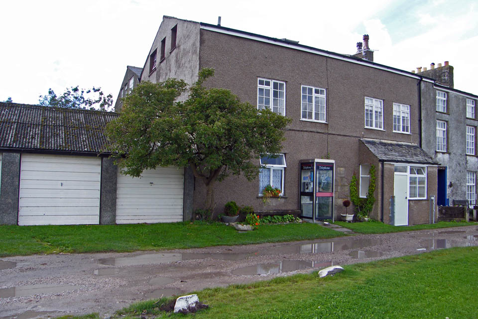
The telecommunication centre
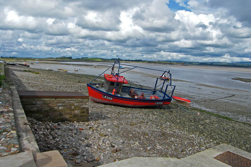
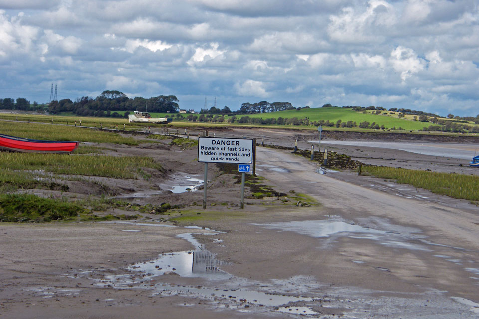
Setting off back for Overton......hope I don't have to run!
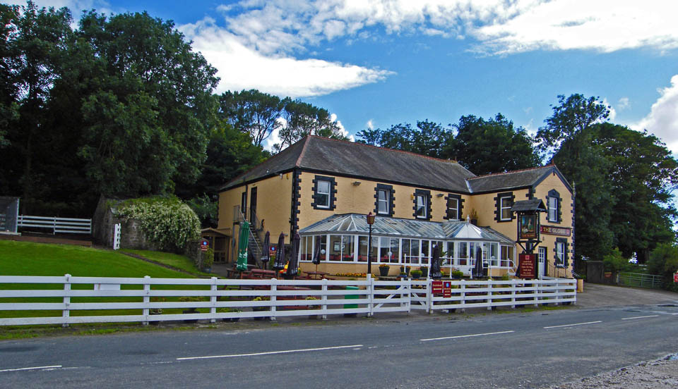
And finally ....back to Overton and the The Globe
Next Walk: 15th August 2008 -- Lake District (SE) -- Black Crag & Tarn Hows from Tom Gill
Last Walk: 8th August 2008 -- Lake District (SW) -- Caw & Pikes from Kiln Bank Cross
We hope you have enjoyed viewing this walk. If you have any comments please sign our Guestbook or E_Mail us