| Area: | Arnside & Silverdale | Ascent: | 767 feet |
| Walk No: | 199 | Time: | 2hours 40minutes |
| Date: | 17th August 2008 | Parking: | Arnside |
| Distance: | 6.00 miles | Weather: | Fine & Sunny to start then becoming overcast with one shower |
| Route: | Arnside - New Barns - Far Arnside - Arnside Knott - Arnside |
For those of you that are thinking of going onto the hills I would strongly recommend that you read the advice given by the Mountain Rescue organisation of England and Wales. To read this advice, which will open in a new page please click HERE. If you would like to make a donation to the Mountain Rescue organisation which is purely voluntary please click HERE. Please make the time to read the advice page.
I was by myself today as Edith was catching up at home and getting ready for the overnight stay of our youngest Granddaughter. I also didn't have much time as I had to get back to say goodbye to Karina and her mother (who had come come over from Lithuania on Thursday) and were returning home early tomorrow morning. I left home around 8:30am and was back for about 12:30 which fitted the bill perfectly.
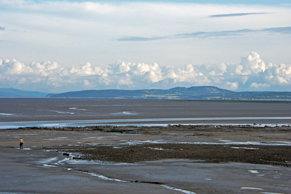
A look across the bay to Arnside Knott from the east promenade at Morecambe around 8:30am
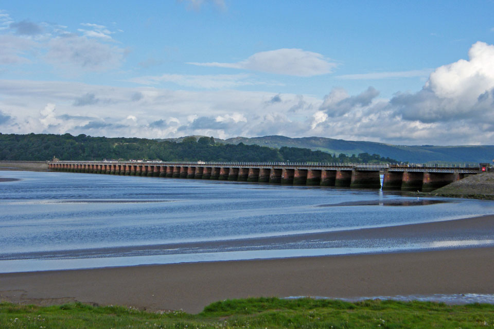
Not long after I was parked at Arnside near the viaduct.
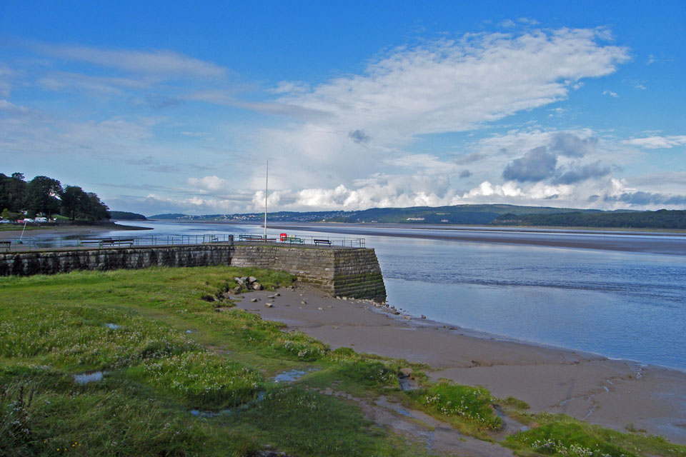
With the tide not due for at least a couple of hours I decided to walk along the beach to New Barns and then to Far Arnside before returning over Heaththwaite and the Knott.
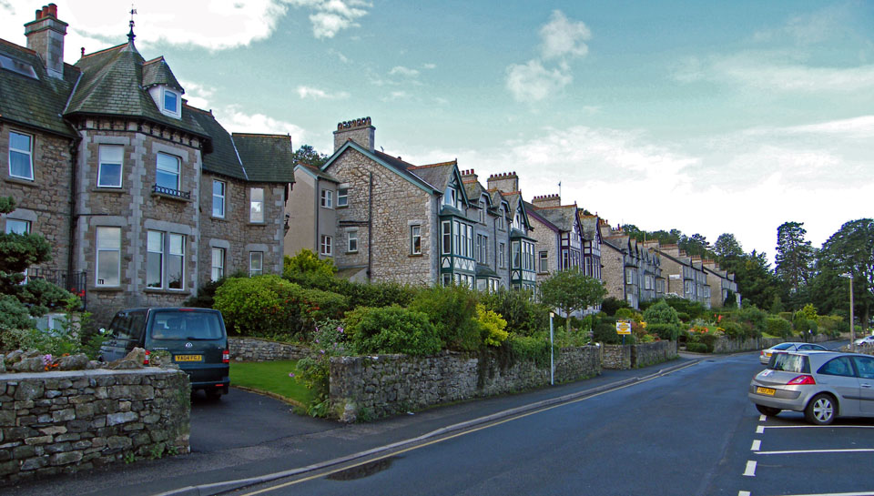
A peaceful promenade
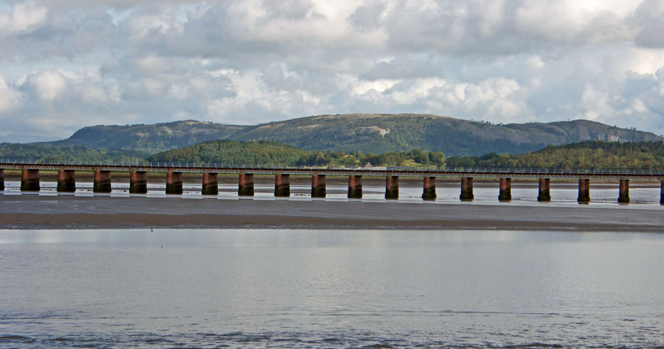
A close up of Whitbarrow behind the viaduct
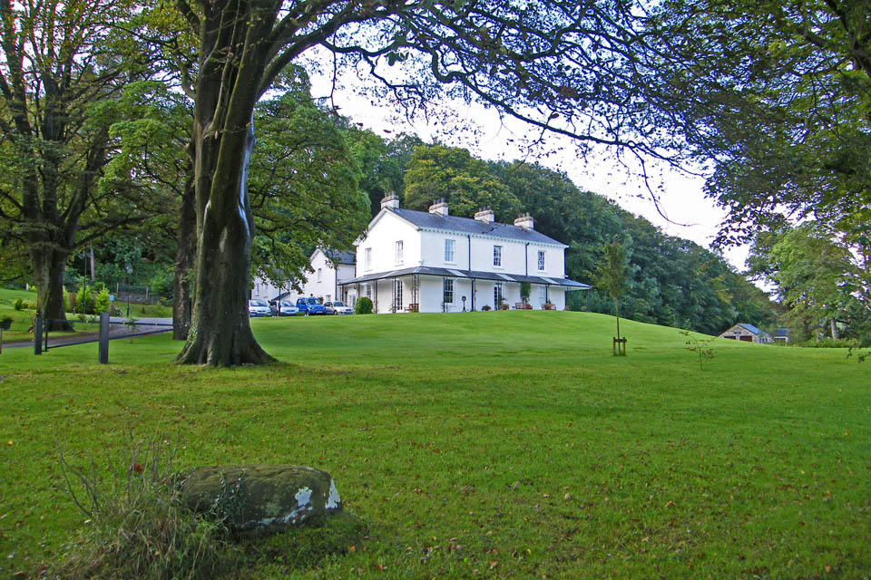
Ashmeadow House
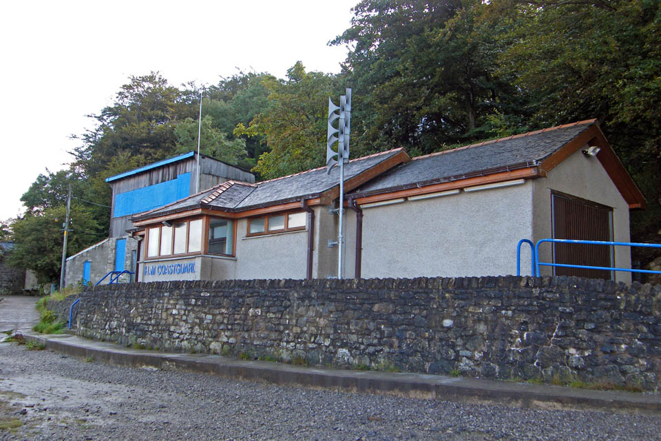
Passing by the Coastguard station. The building to the left used to be Crosfields Boatyard where many of the Morecambe Bay shrimp boats or "nobbies" were built.
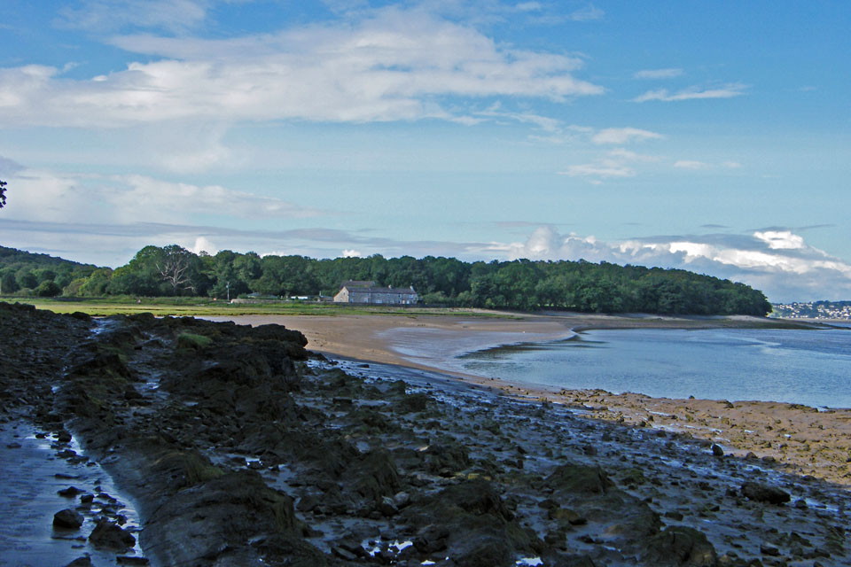
Looking across to New Barns
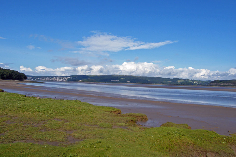
And across the estuary to Hampsfell
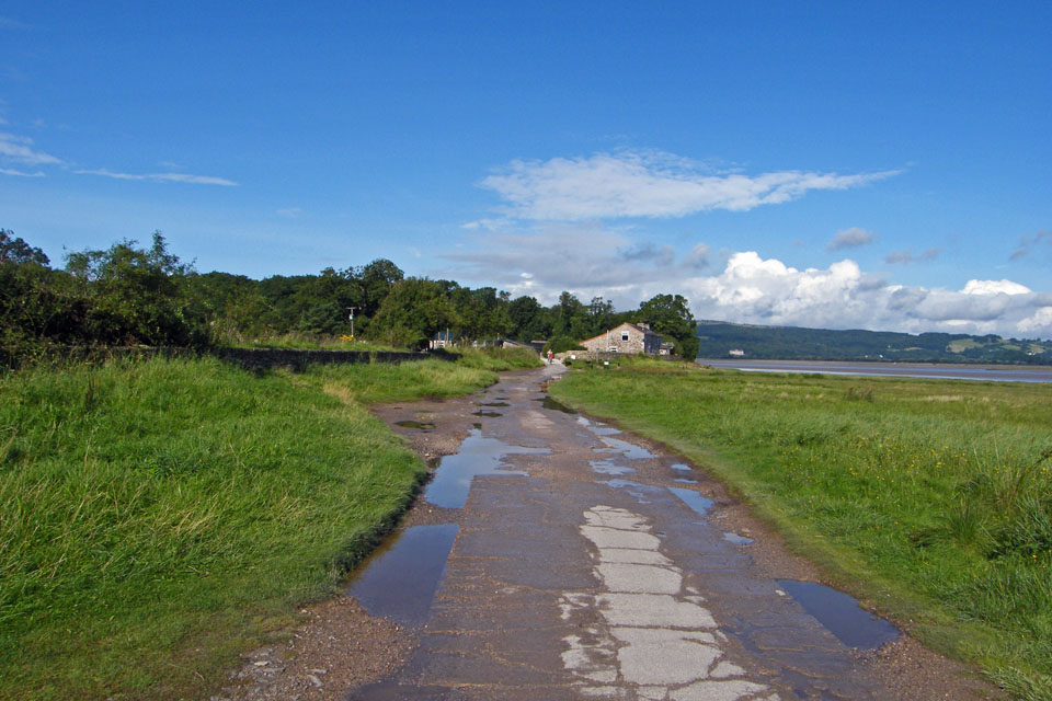
Approaching New Barns
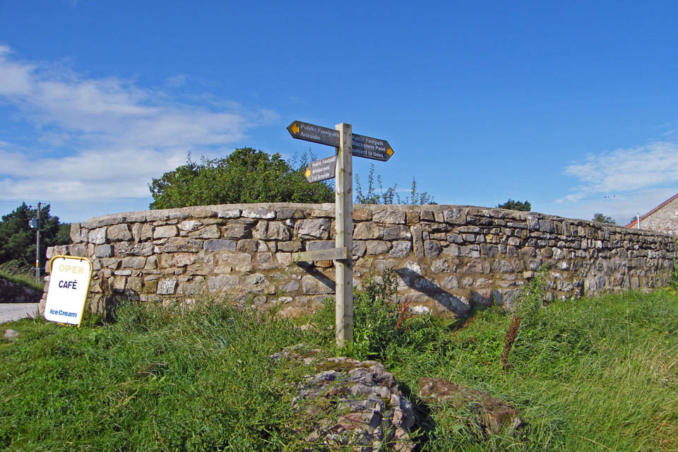
There is a RoW through the caravan park at New Barns if the tide is in but today I carried on along the shoreline
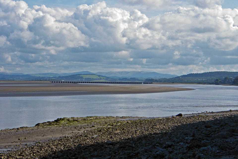
A look back up the estuary
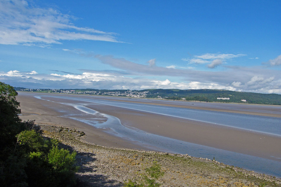
Just before here I usually get of the stony path to walk along the beach. With all the rain the sand was very "muddy" , although not dangerous so I decided to take the path through Frith Wood to Blackstone Point.
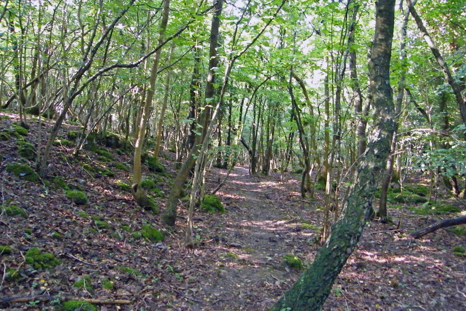
Frith Wood
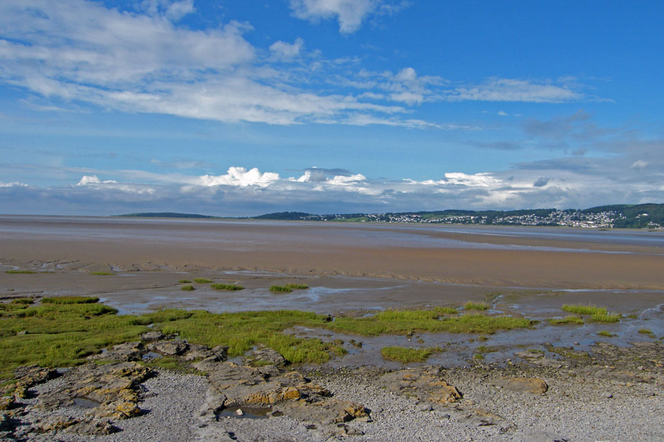
Looking across to Grange and Kents Bank with the "finger" which is Humphrey Head pointing out into the bay.
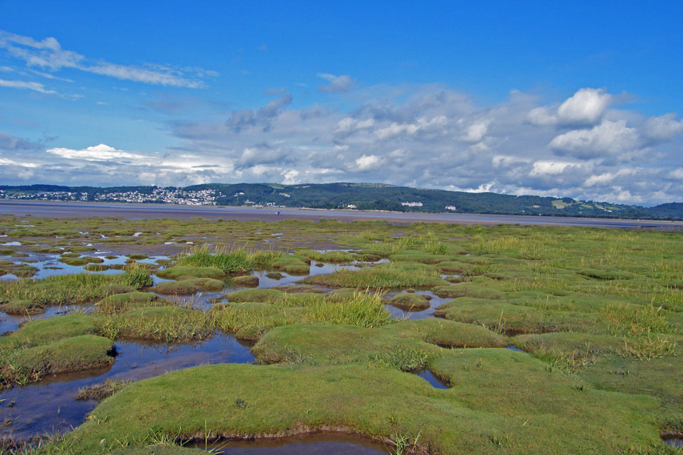
Rather than taking the shingly path from Blackstone Point to Arnside Point I decided to short cut across the salt marsh. The gullies are only narrow, still within my capabilities as a Long Jumper!!
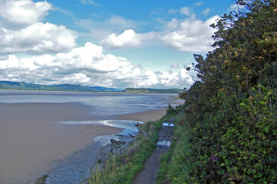
At Arnside Point I left the shore to take the cliff edge path to Park Point
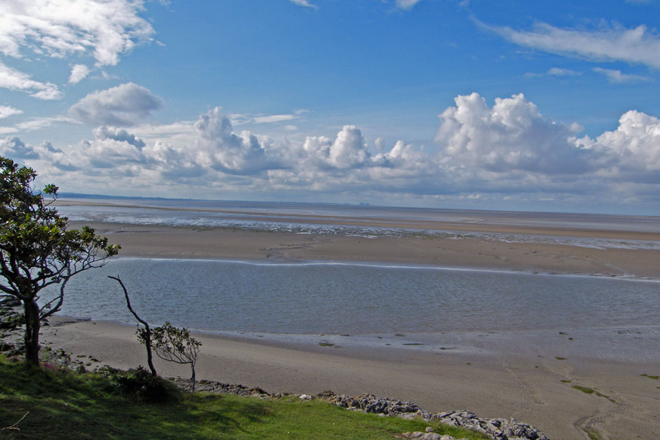
Park Point with the Heyshm Power stations in view down the bay
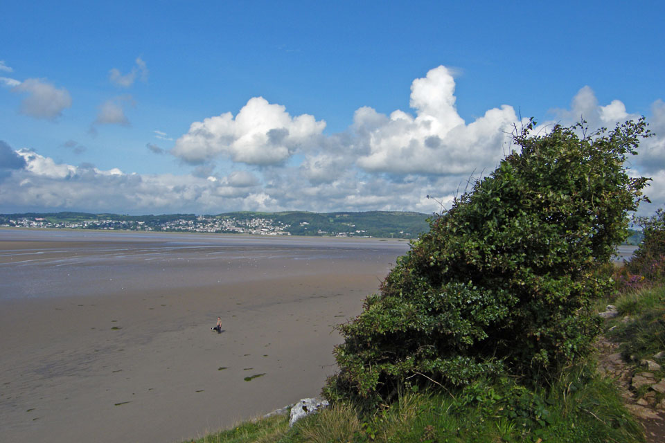
Grange and Hampsfell from Park Point
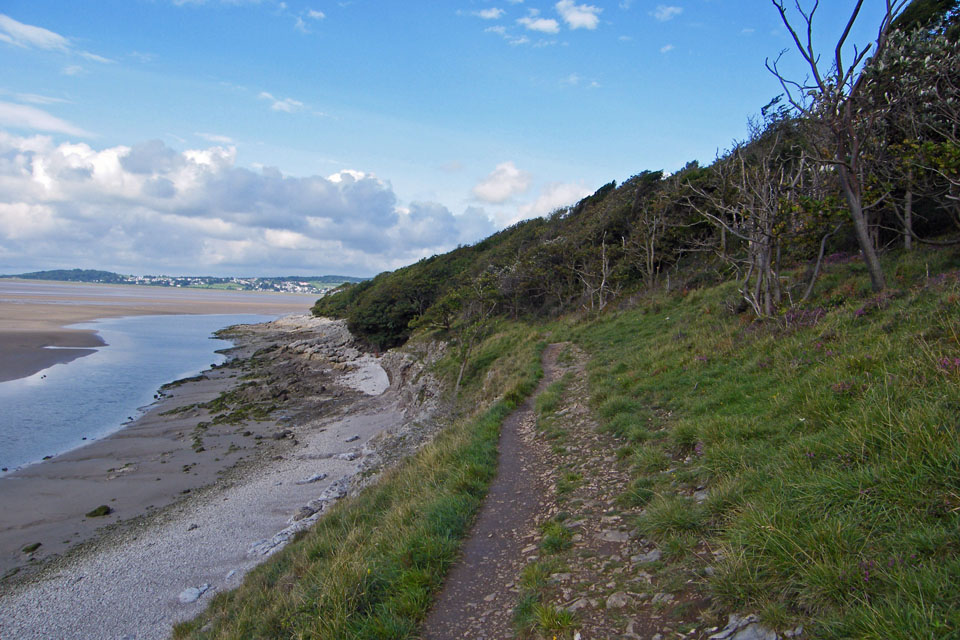
From Park Point the path follows the shoreline to Far Arnside. Here I am looking back towards Park Point
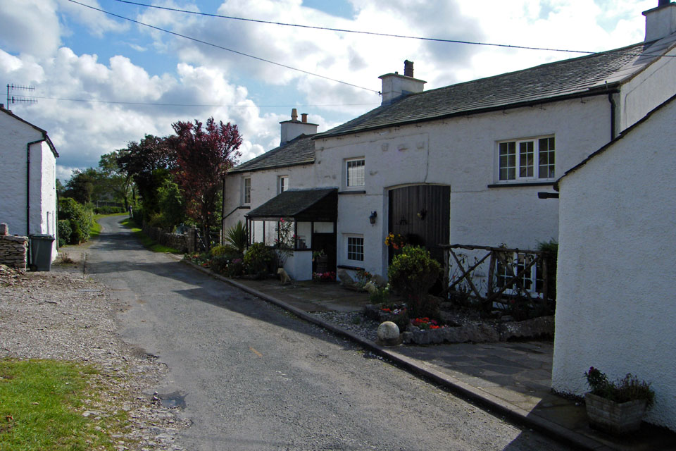
Far Arnside
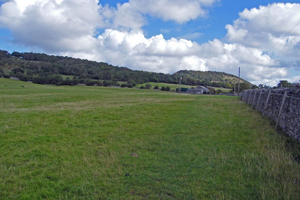
Walking across the fields to Hollins Farm with Arnside Knott behind.
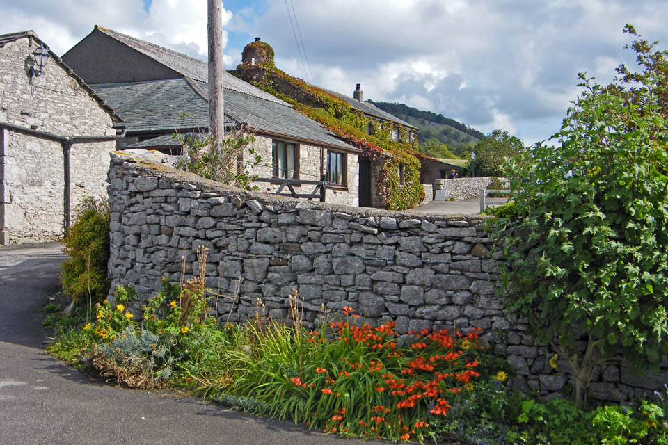
Hollins Farm
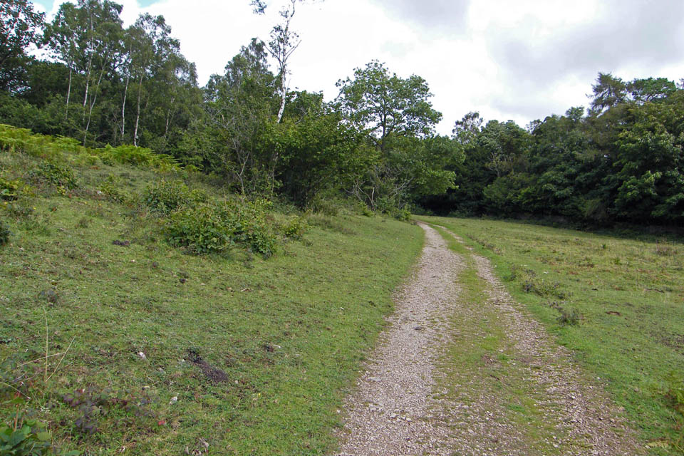
Walking through Heathwaite towards the Knott
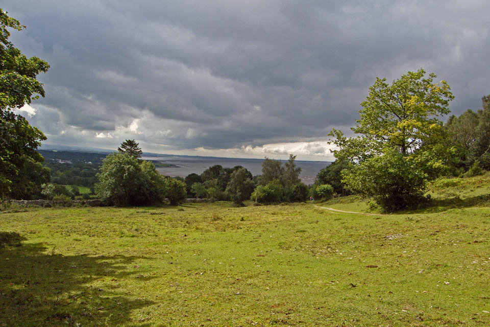
A look back shows dark clouds approaching from the south
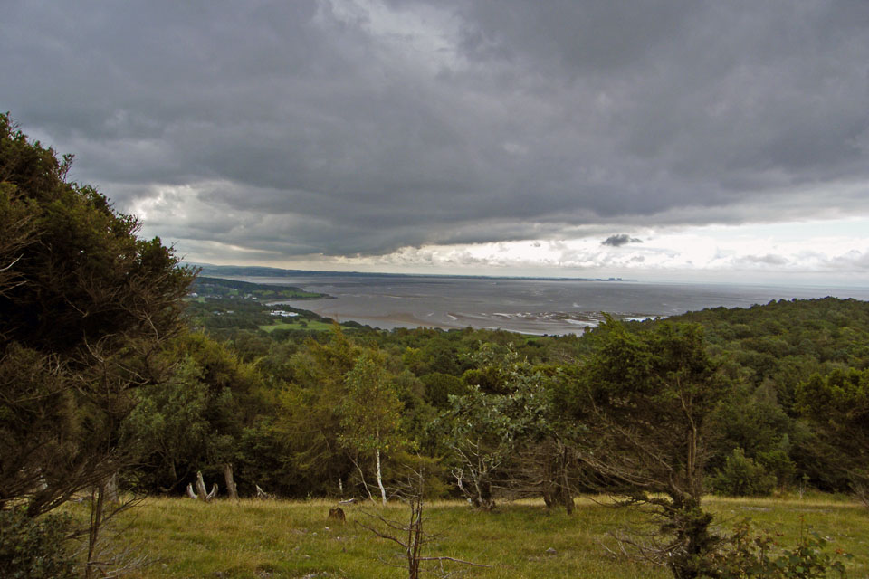
By now the day had changed. Although still fine it was quite dark.
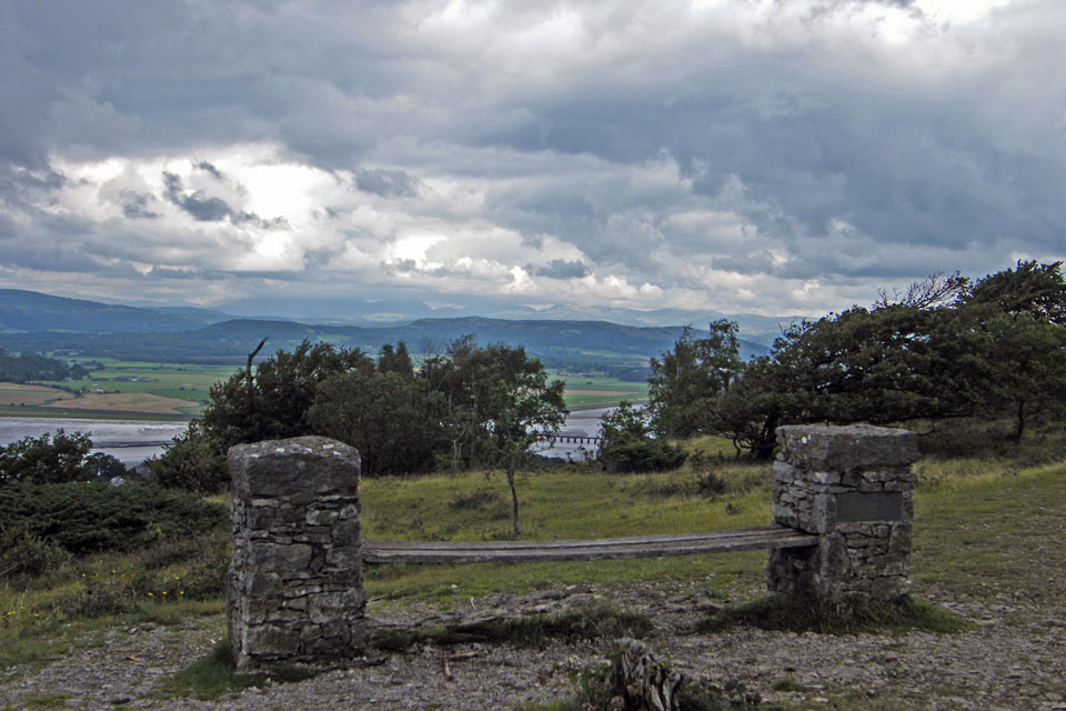
There still appeared to be some sun over the Kirkstone and High Street Fells though
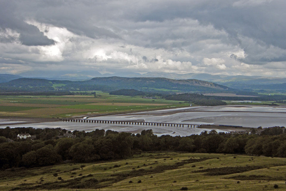
As I started the descent down Red Hills there was a spot or two of rain.
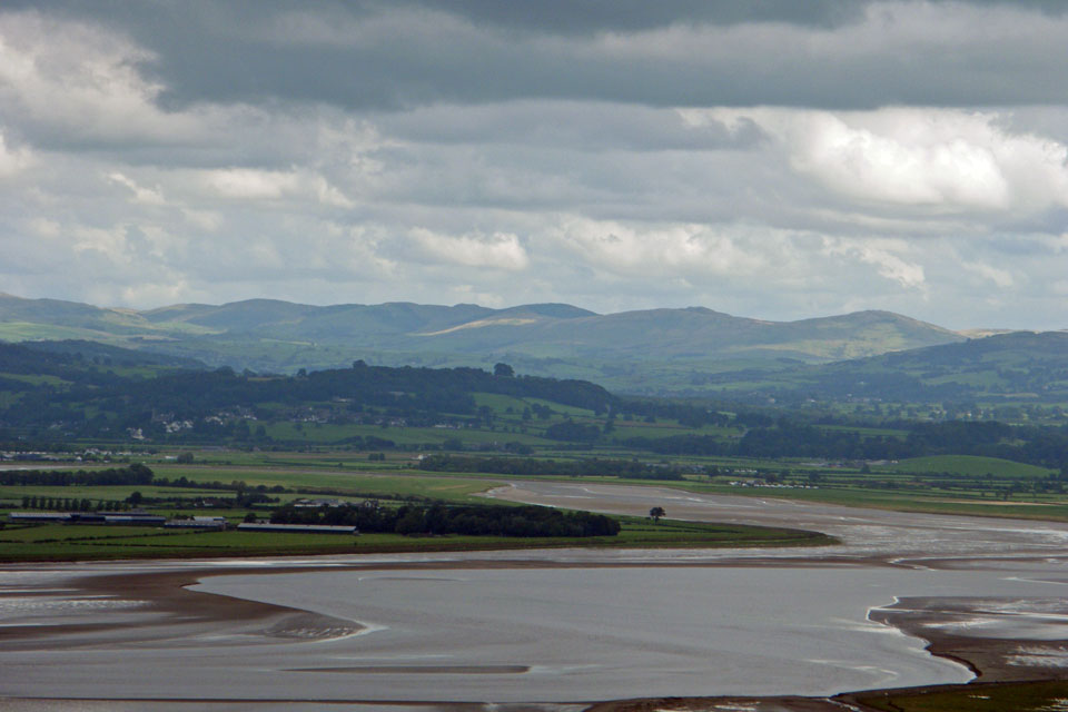
Brighter weather on Middleton Fell
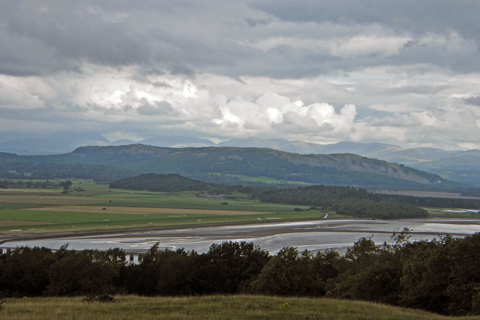
As I took this one of Whitbarrow it started getting heavier. It was therefore a quick dash for the shelter of Red Hills wood below
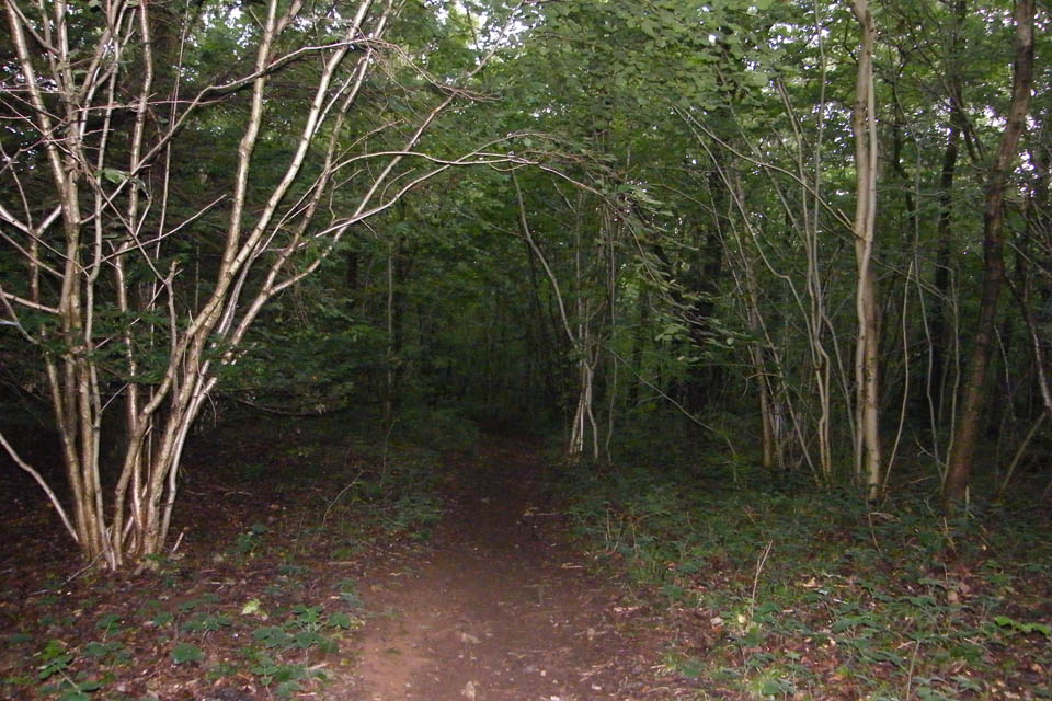
I don't know how heavy the shower was as the canopy kept me sheltered but it was very dark. This picture was taken with the flash. By the time I left the woods it had all but stopped as I walked back down into Arnside.
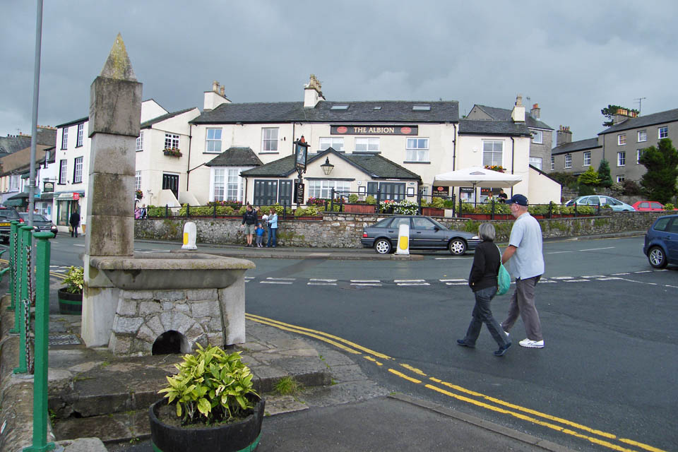
You see.....no umbrellas!!
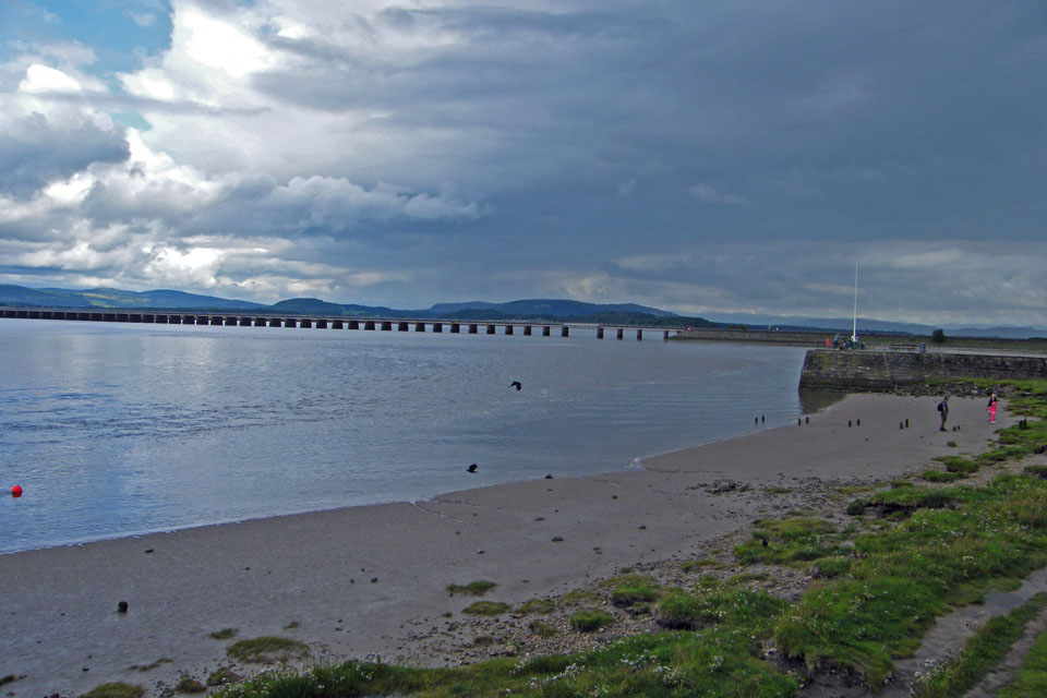
And the black cloud makes its way northwards
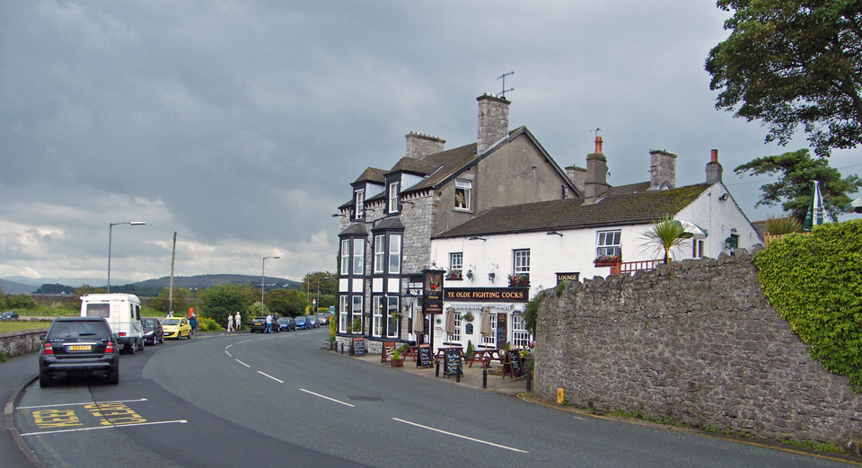
And finally......back to the car

This webpage as been done with some help from this little lady who was the reason for my early return. Don't think it fits Nicole!!
Next Walk: 19th August 2008 -- SE Cumbria -- Levens Park & Hall from Levens Bridge
Last Walk: 15th August 2008 -- Lake District (SE) -- Tarn Hows and Black Fell from Tom Gill
We hope you have enjoyed viewing this walk. If you have any comments please sign our Guestbook or E_Mail us