| Area: | Lake District (SE) | Ascent: | 970 feet |
| Walk No: | 208 | Time: | 3hours 30minutes |
| Date: | 18th September 2008 | Parking: | Elterwater NT Car Park |
| Distance: | 6.25 miles | Weather: | Fine but rather murky |
| Route: | Elterwater - Skelwith Force - Skelwith Bridge - Park Farm - Colwith Force - Slater Bridge - Elterwater |
For those of you that are thinking of going onto the hills I would strongly recommend that you read the advice given by the Mountain Rescue organisation of England and Wales. To read this advice, which will open in a new page please click HERE. If you would like to make a donation to the Mountain Rescue organisation which is purely voluntary please click HERE. Please make the time to read the advice page.
This is one of our favourite low level walks and as we set off from home we were looking forward to some great views. However the bright weather of home gradually changed as we headed northwards and we arrived at Elterwater to a very grey, murky Lakeland day. It was however fine and at one point it did threaten to come clear but it didn't last long. Fortunately the twin highlights of this walk are the waterfalls of Colwith Force and Skelwith Force which were very impressive after recent rain.
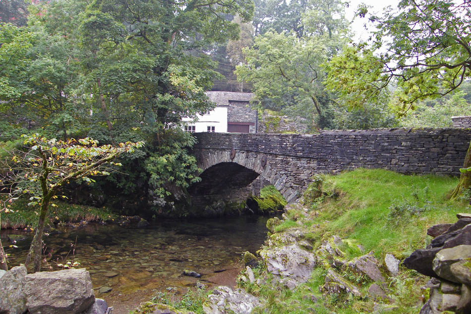
The bridge over Great Langdale Beck at Elterwater
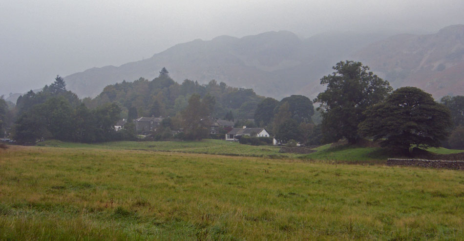
Looking back to Elterwater village as we set off towards Skelwith Bridge
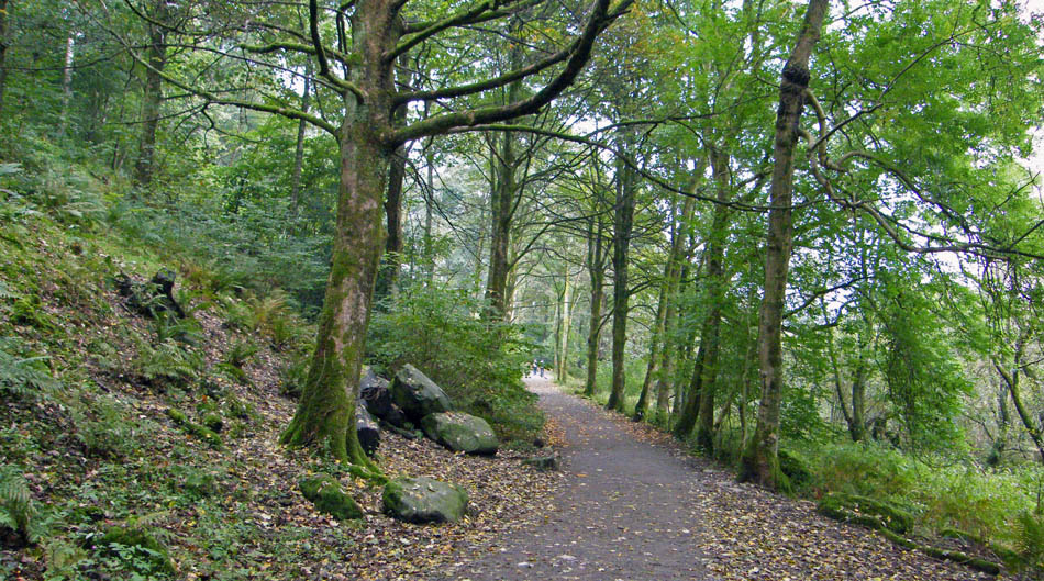
The path is part of the "Cumbria Way" which runs from Ulverston to Carlisle
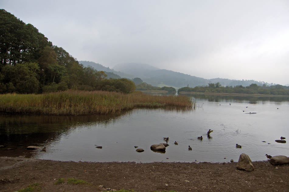
Elter Water
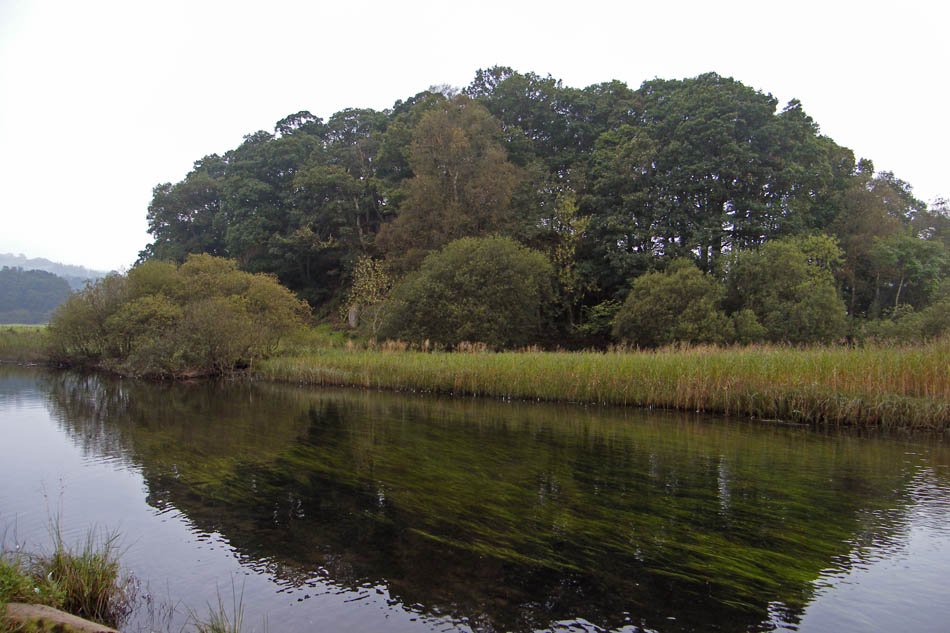
Elter Water gathers the water from both Great Langdale and Little Langdale to form the River Brathay which feeds into Windermere near Ambleside.
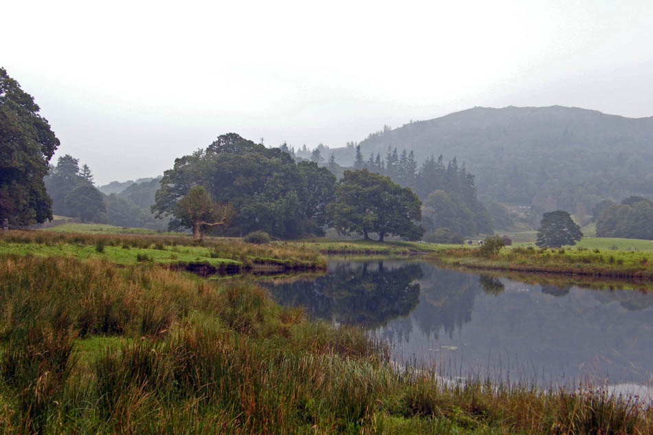
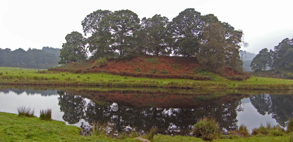
Poor views as we follow the River Brathay, but at least we are out and about.
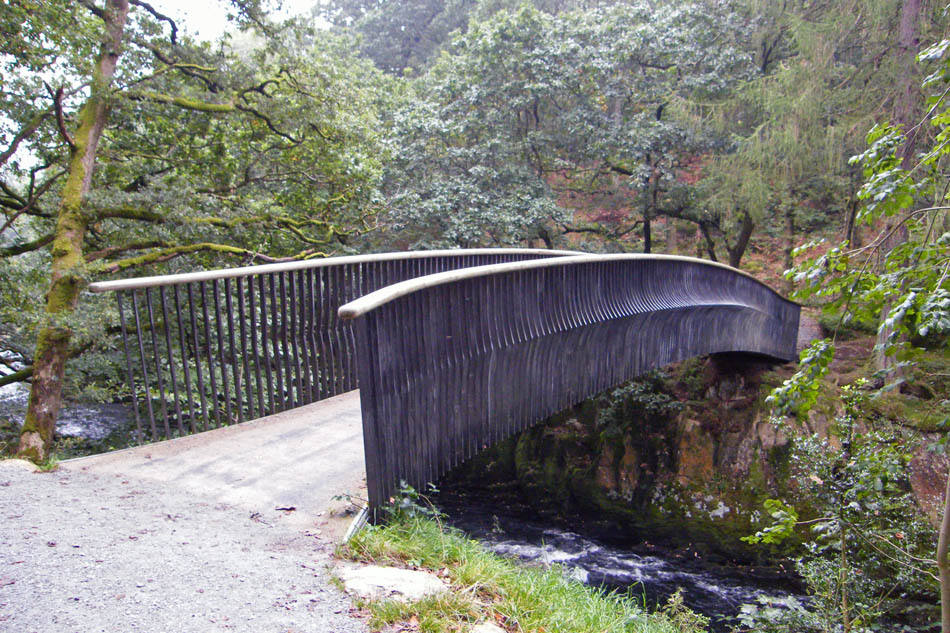
The realtively new footbridge across the River Brathay which was built so walkers could avoid the busy road at Skelwith Bridge. If you want to see Skelwith Force however you will have to pass this by as the Force is a little lower down.
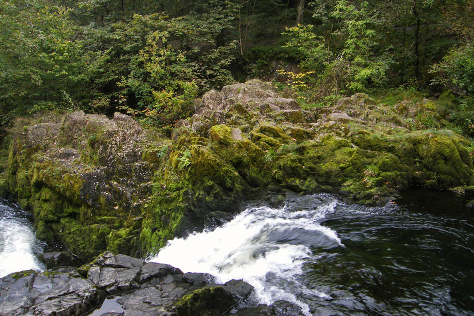
Skelwith Force
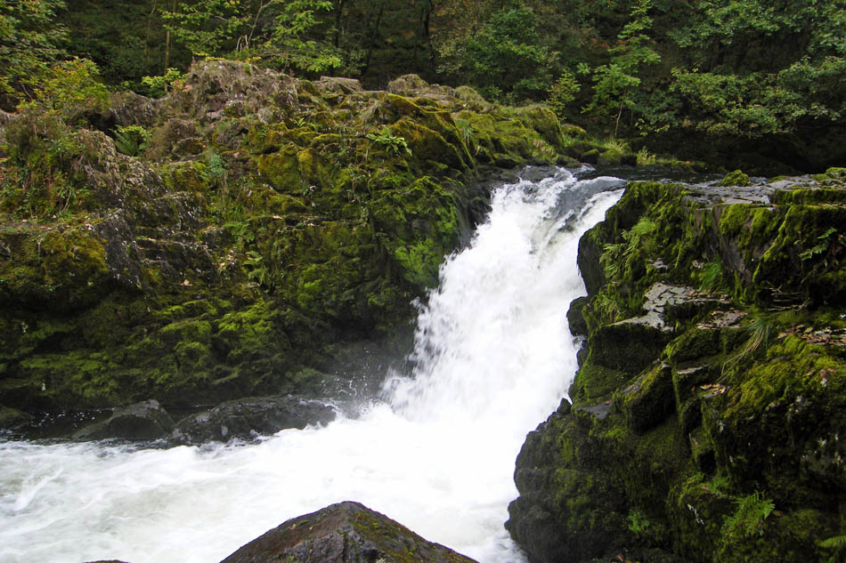
It's not a particularly high waterfall, about 15 feet or so but the noise as all the water from the Langdale valleys is squeezed through a 6 foot gap at the top is quite impressive. There is a track down to the Force from the main path but please be carefull if descending to the second bridge....it can be very slippy.
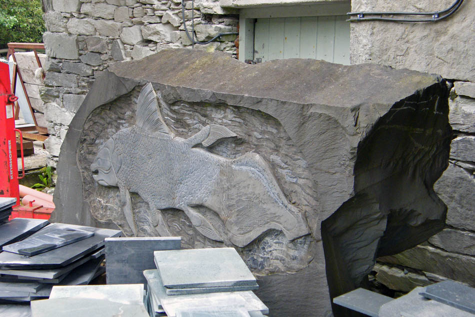
Some "artwork" as we pass through the Kirkstone Slate Galleries.
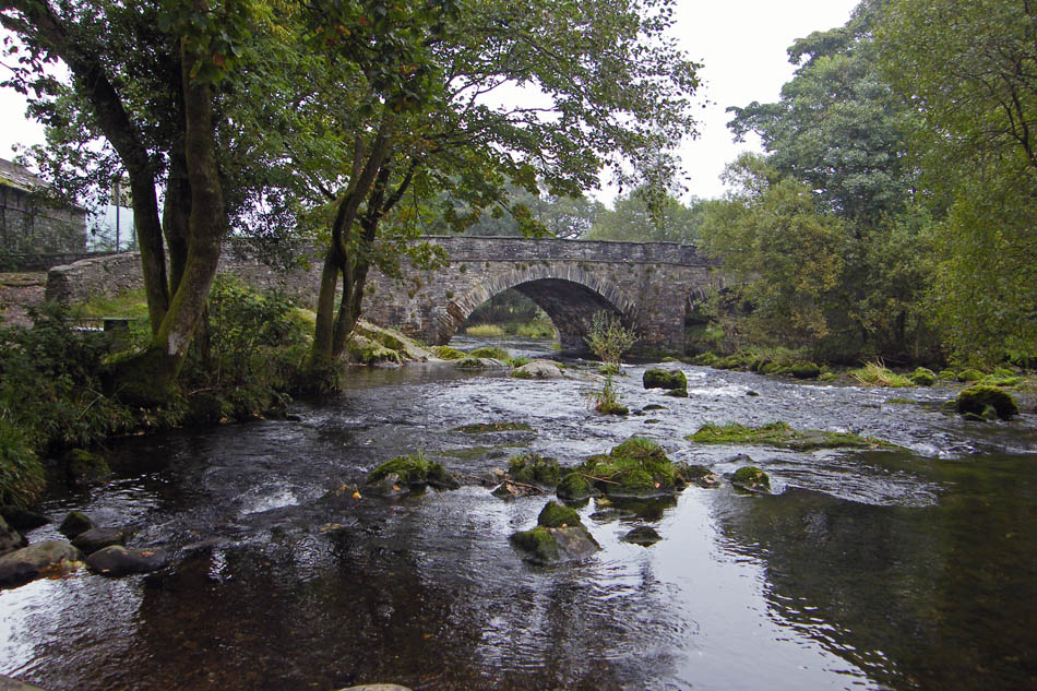
Skelwith Bridge. If from the Force you don't go back to the "new" footbridge the route is over the bridge and follow the Coniston road for just over an hundred yards before taking a path on your right.
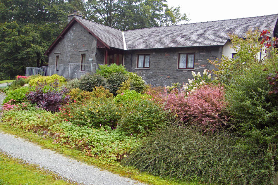
If you got it right you should see this cottage.
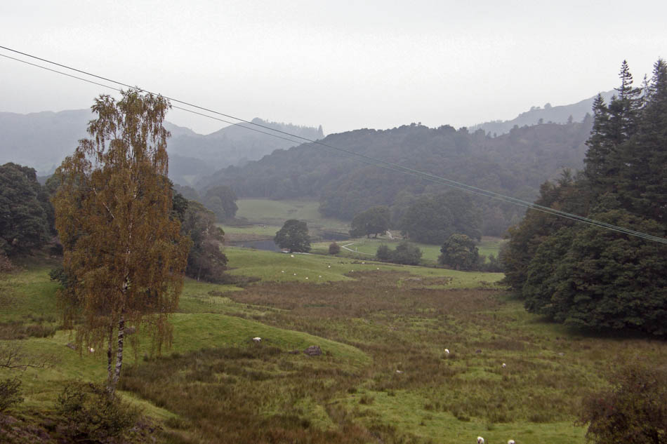
Looking down into the valley from near Park Farm. You can see our outward path in the centre.
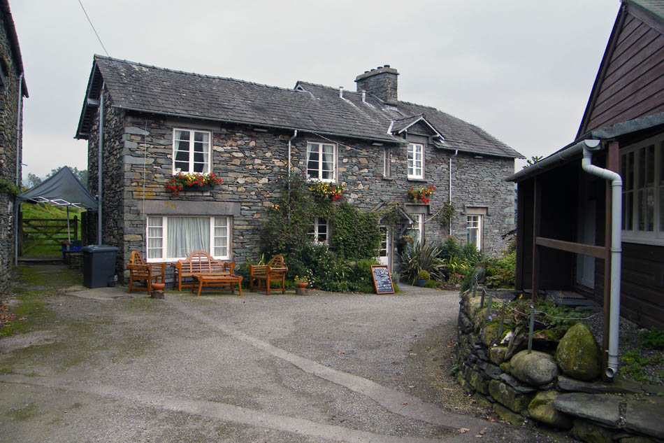
Park Farm
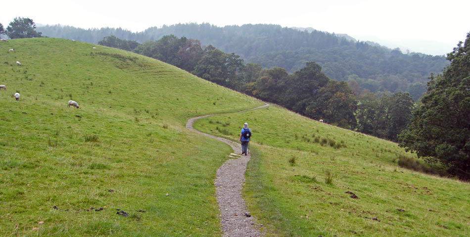
Descending to Colwith Bridge and then to the Force
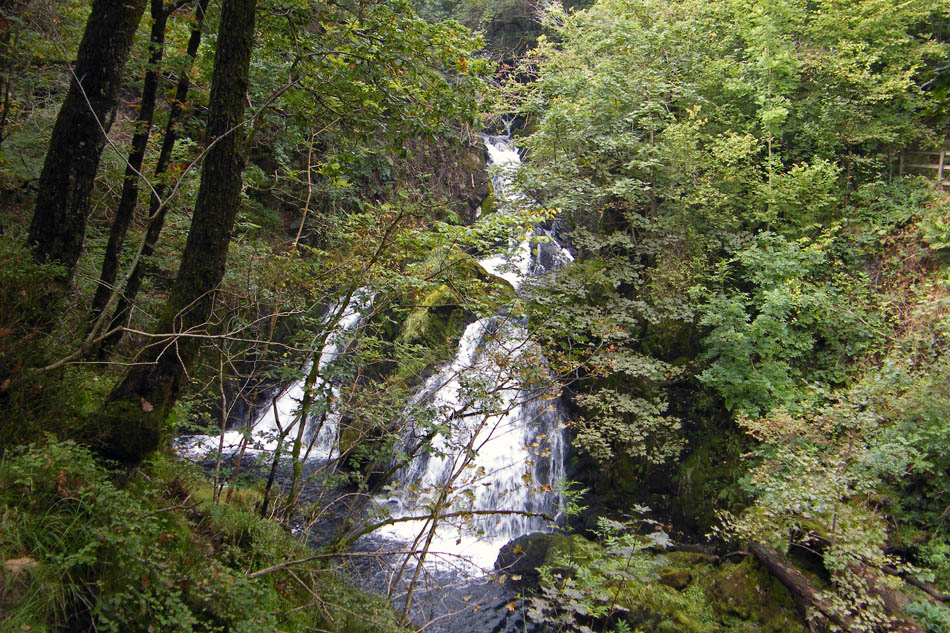
Colwith Force.
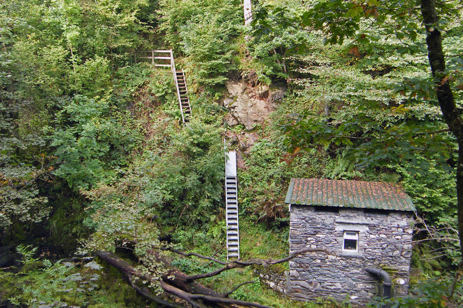
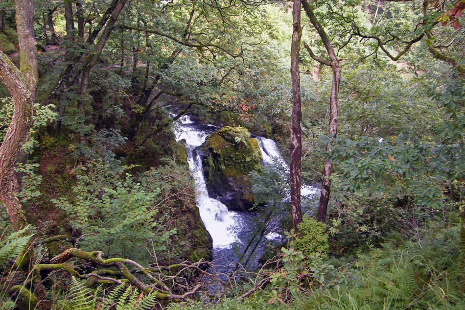
From Colwith Force we followed the path through Tongue Intake Plantation to High Park
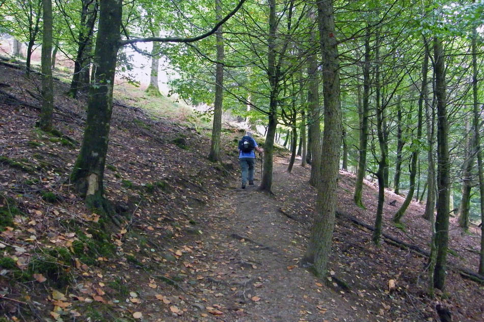
Through the woods
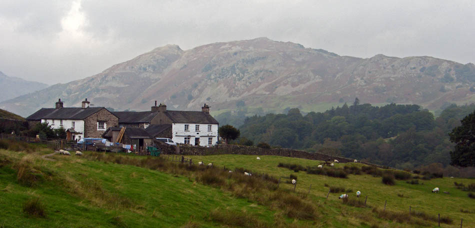
It was around this time, as we approached High Park that it seemed it might brighten. The cloud base did lift for this view of Lingmoor but it stayed very dull.
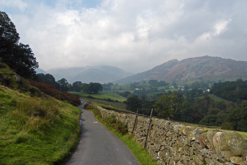
A little road walking to Stang End.
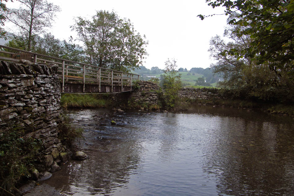
Footbridge and Ford between Stang End and Slater Bridge. Wouldn't advise trying the ford.
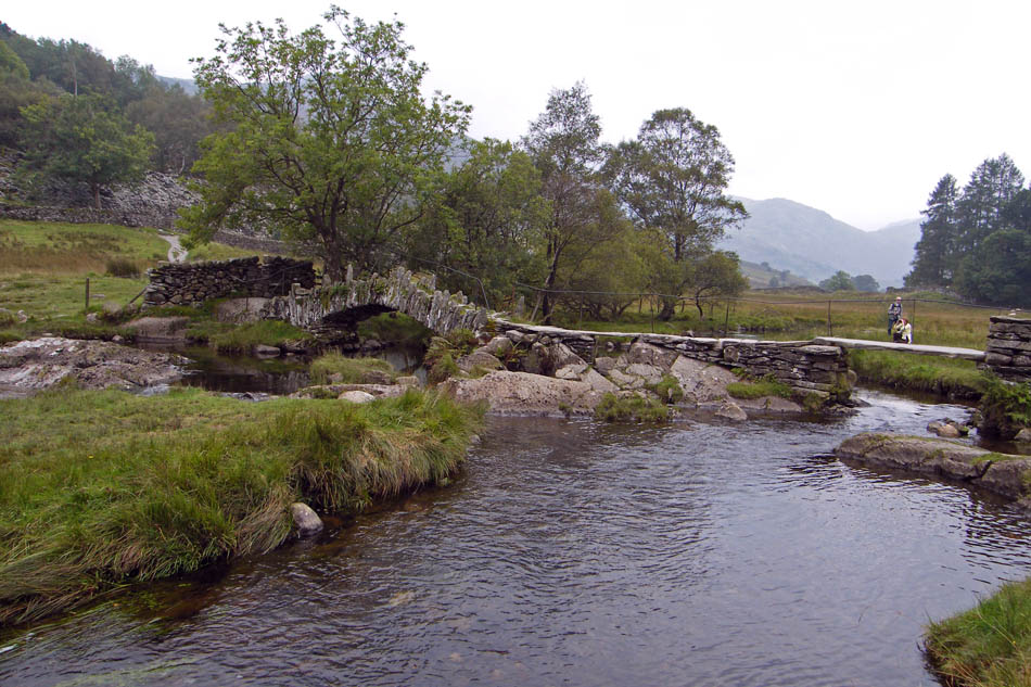
Slater Bridge
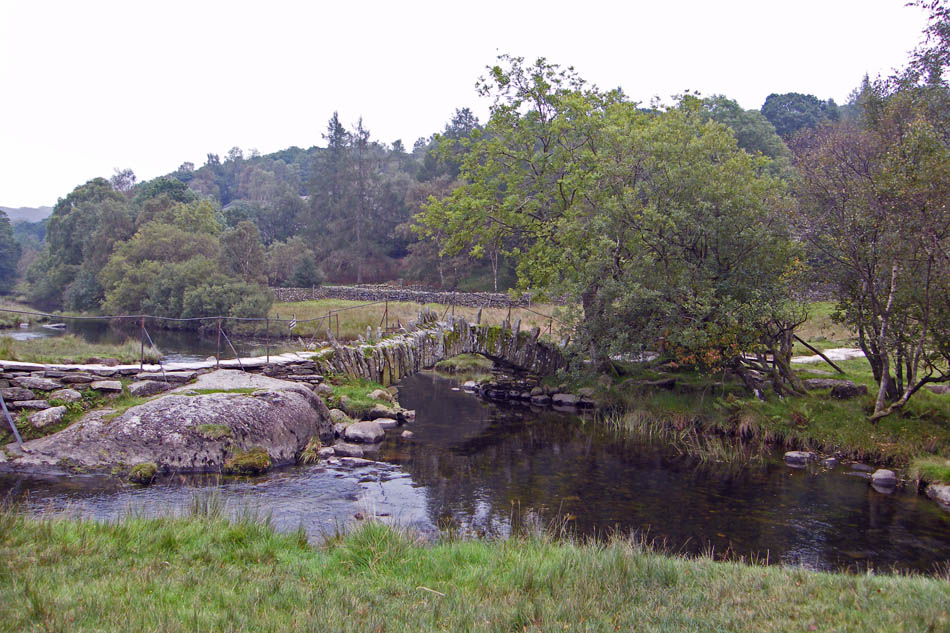
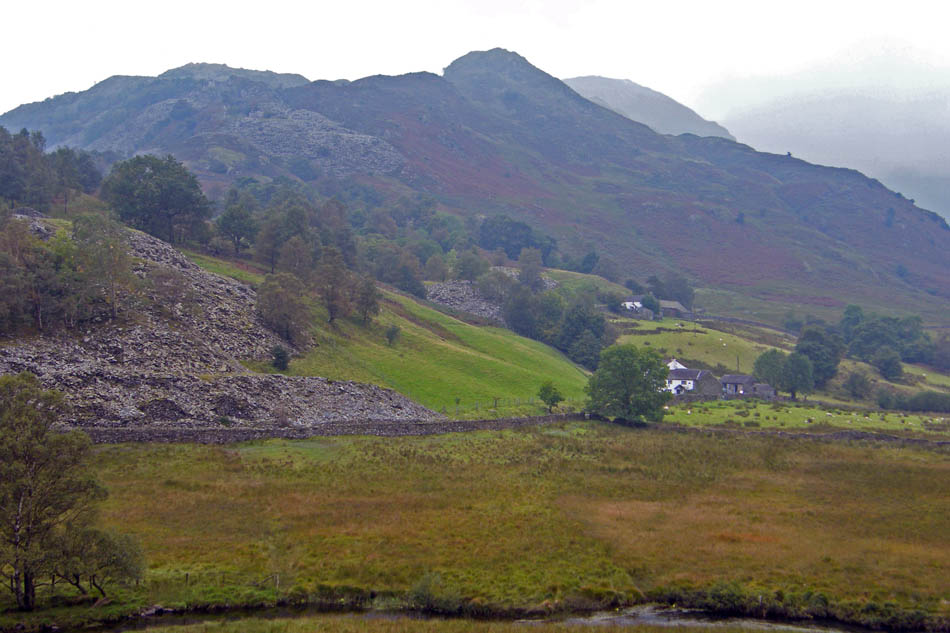
Looking towards Wetherlam
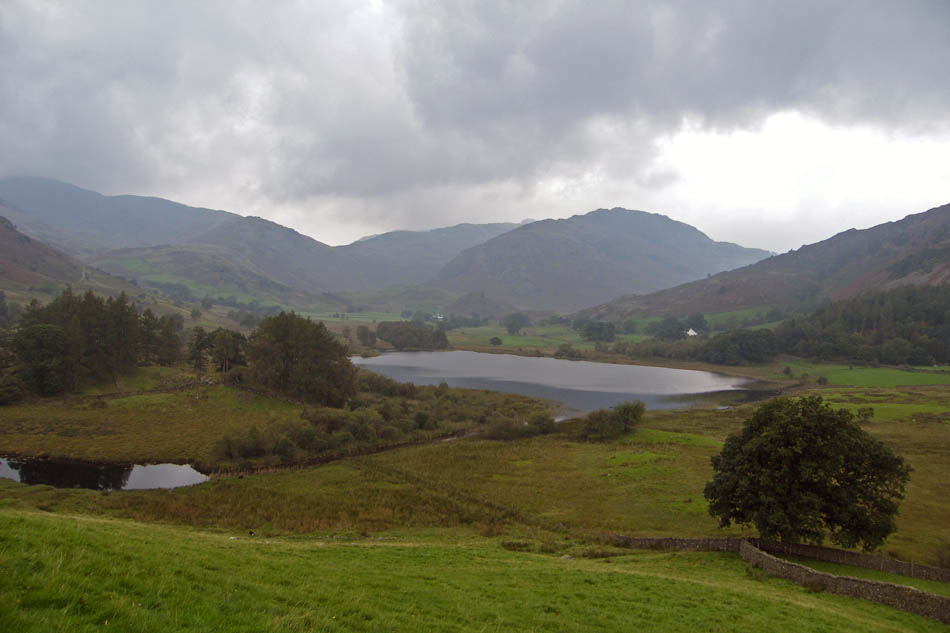
Little Langdale tarn with the "dip" of the Wrynose Pass seperating Wet Side Edge (l) and Pike O'Blisco (r)
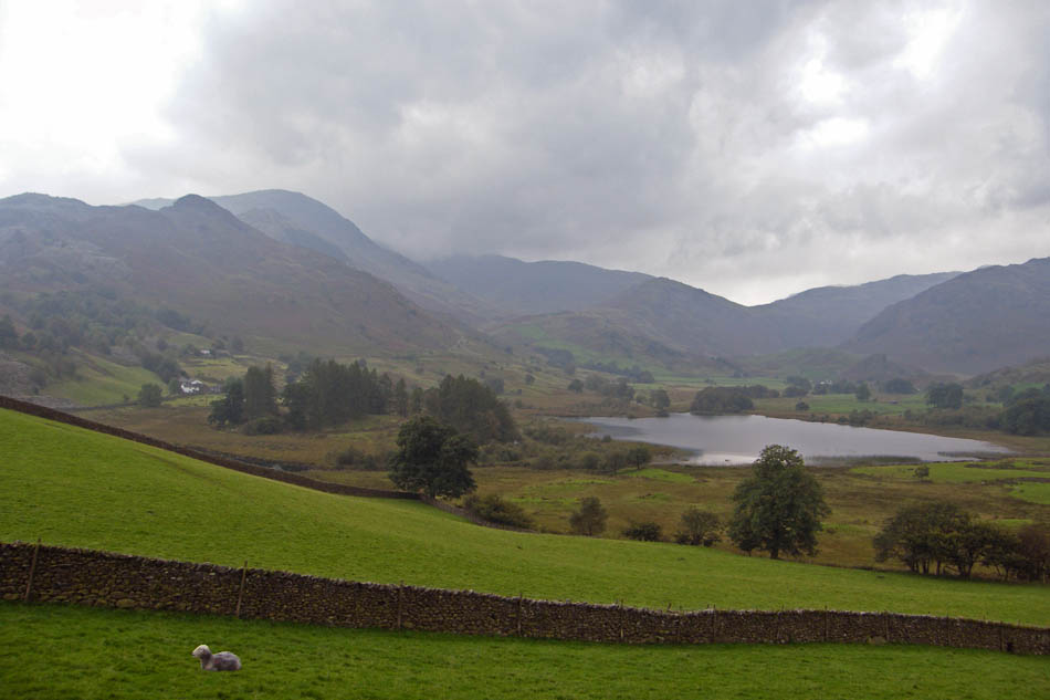
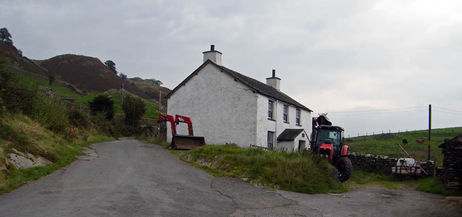
Dale End farm we we make our way back to Elterwater.
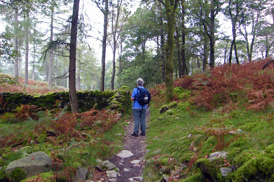
At the top of the bridleway we took the path down through Sawrey's Wood towards the quqrry hoping for some views of the Pikes
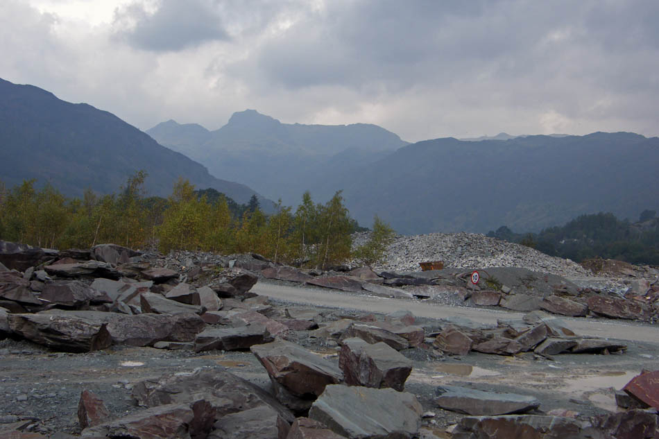
Which were visible but only through a murky veil.
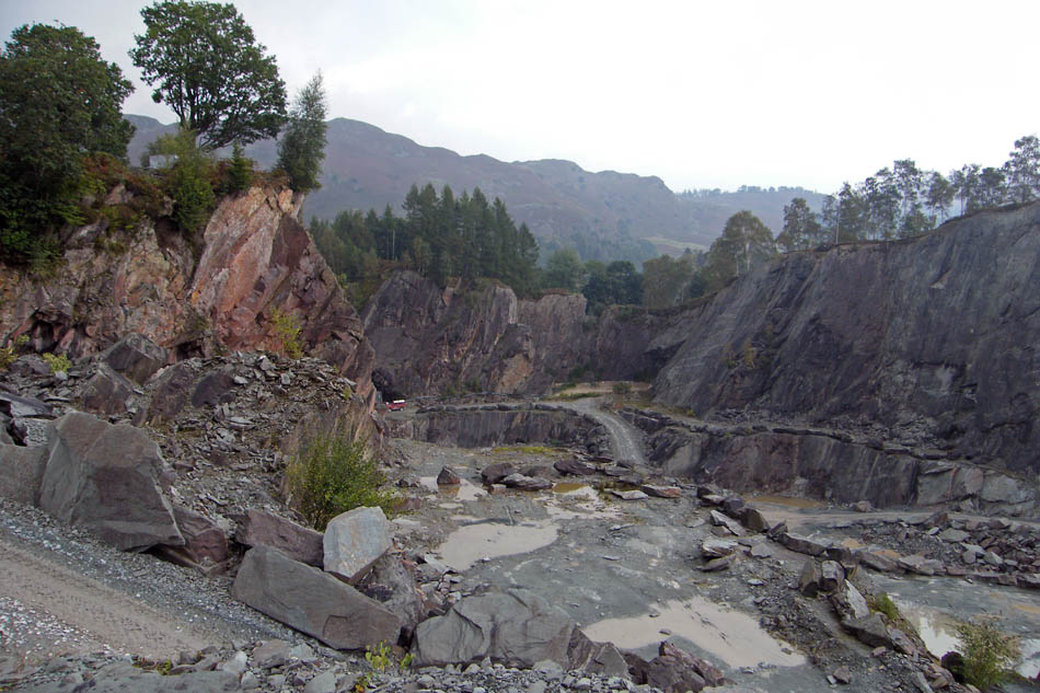
A peek down into the quarry
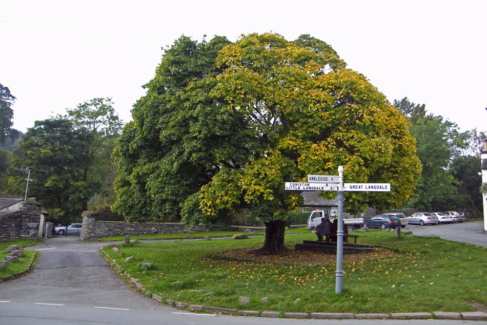
Back at Elterwater and the Maple Tree is just starting to change colour.
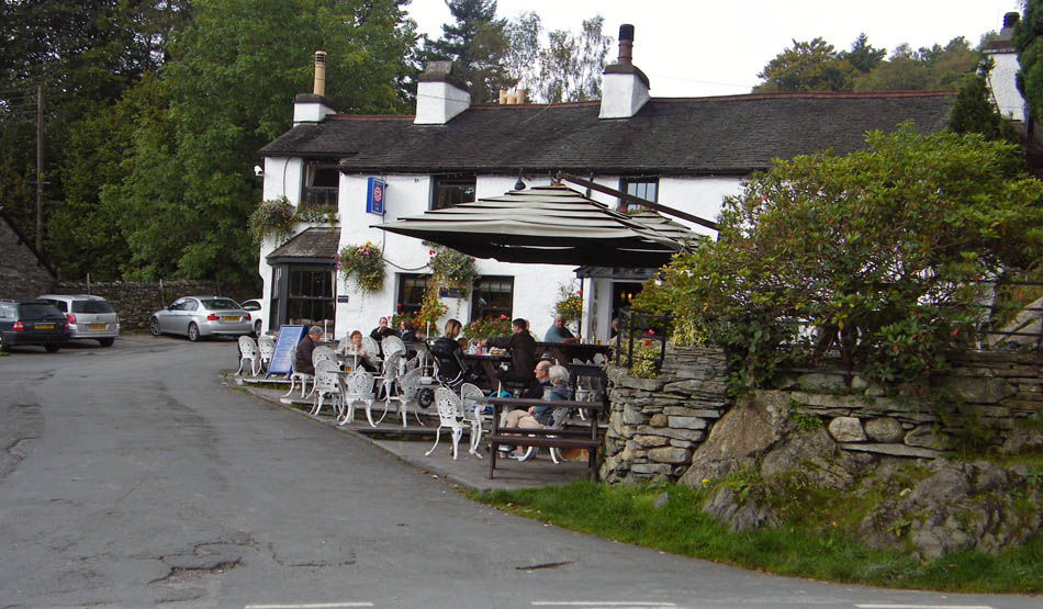
And finally.....It may have been a dull, murky day but it was quite warm.....warm enough for a visit to the Brittania Inn
Next Walk: 21st September 2008 -- Lake District -- Whitbarrow from Raven's Lodge
Last Walk: 11th September 2008 -- Lake District (NW) -- Dent & Flat Fell from Wath Bridge
We hope you have enjoyed viewing this walk. If you have any comments please sign our Guestbook or E_Mail us