
| Area: | Arnside & Silverdale | Ascent: | 705 feet |
| Walk No: | 223 | Time: | 2hours 30mins |
| Date: | 2nd November 2008 | Parking: | Near Crag Foot (SD477738) |
| Distance: | 5.50 miles | Weather: | Fine with sunny spells |
| Route: | Car - Crag Foot - Coach Road - Warton Crag - Three Brothers - Leighton Hall - Leighton Moss - Car |
For those of you that are thinking of going onto the hills I would strongly recommend that you read the advice given by the Mountain Rescue organisation of England and Wales. To read this advice, which will open in a new page please click HERE. If you would like to make a donation to the Mountain Rescue organisation which is purely voluntary please click HERE. Please make the time to read the advice page.
Another short walk in an area close to home. The best time to walk on Warton Crag is probably in the Spring & Summer periods when the butterflies are usually abundant, but it is a delightful walk at any time of year.
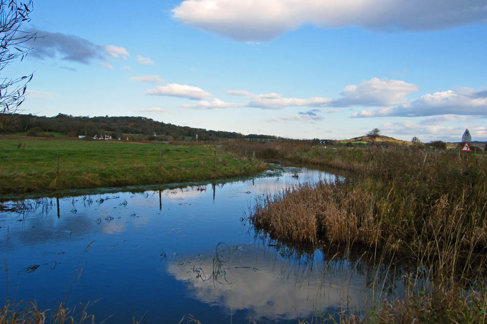
We left the car near Crag Foot next to the outfall from Leighton Moss.
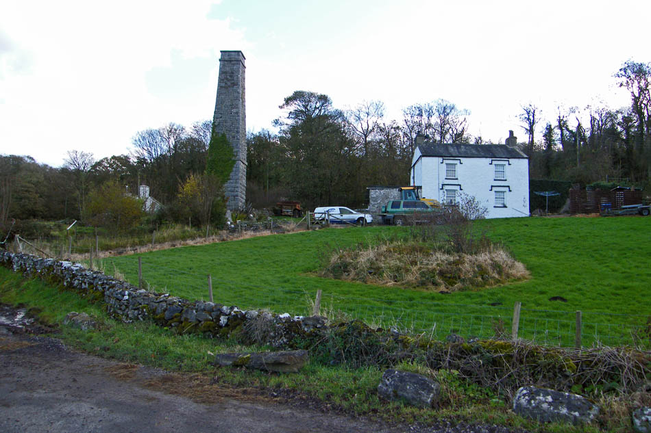
Passing Crag Foot. The chimney is all that remains of an old pumping station which was used to keep Leighton Moss clear of water.
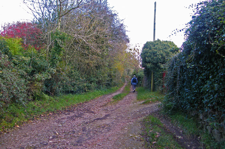
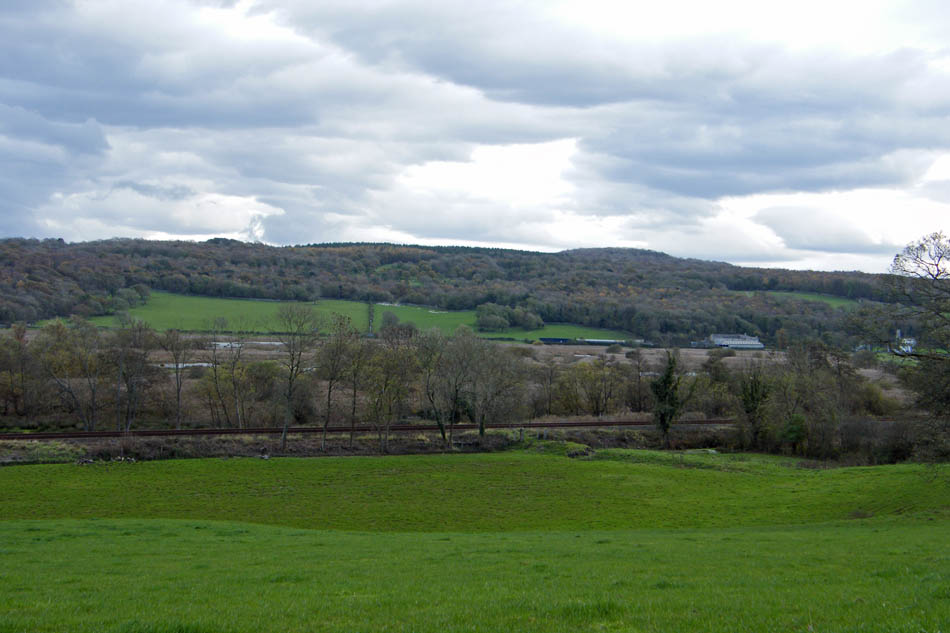
A short walk along what is known as the top road to Warton there is a turn off on the left. This bridleway, known as "The Coach Road" runs over Warton Crag, but not the summit to join the road from Warton to Leighton Hall.
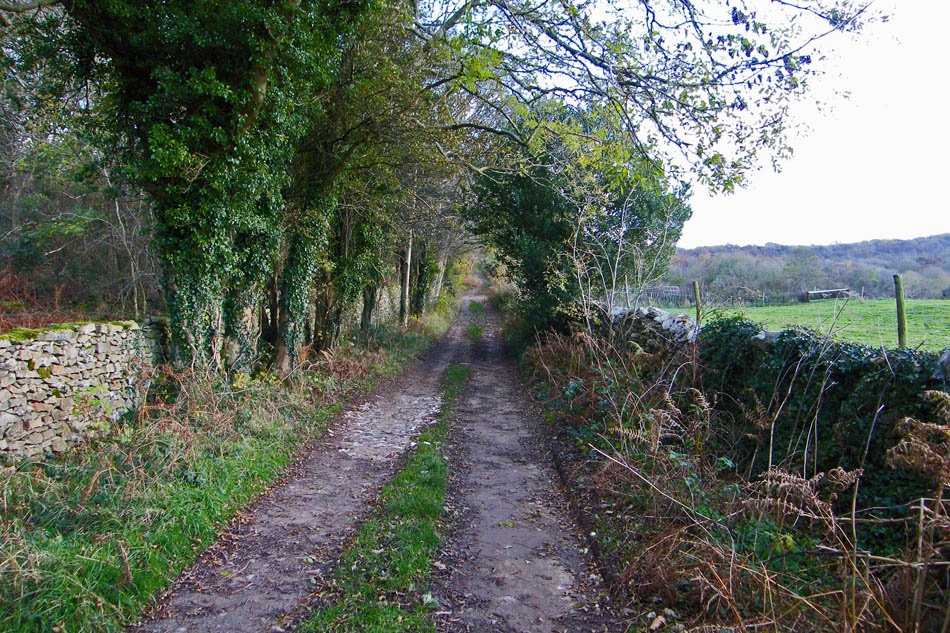
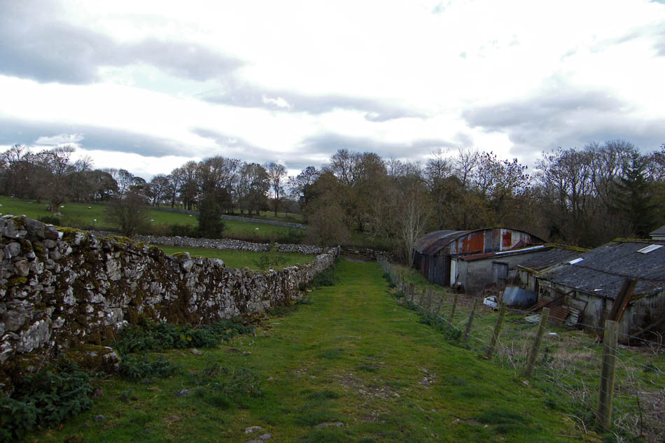
The coach road is a walled lane with mostly private land to either side.
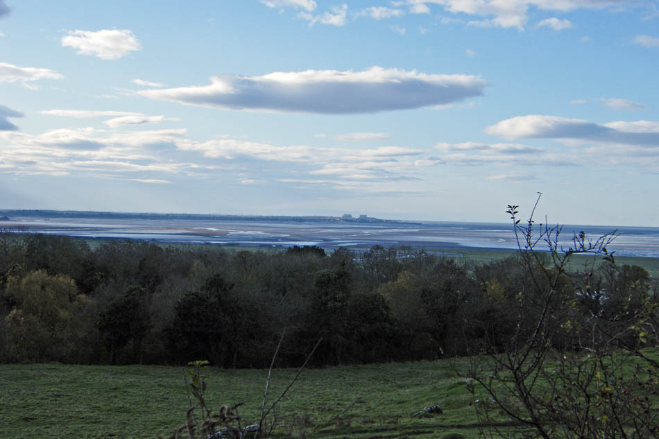
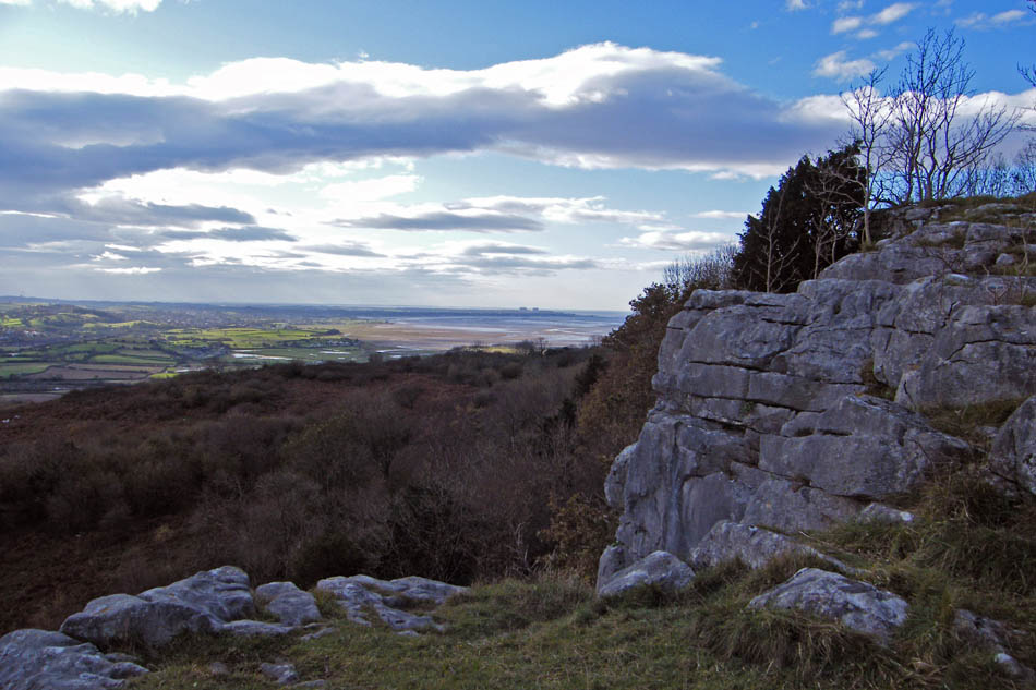
A look southwards to Morecambe Bay. Unfortunately most pictures taken in this direction were taken into a low sun.
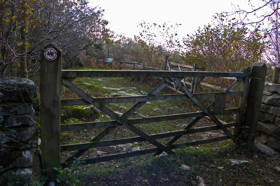
There is an entrance into the reserve before this one but this one is the easier to follow if it's your first time up here.
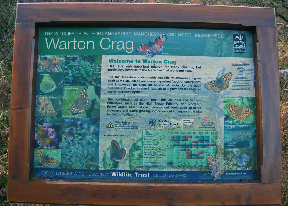
Information board.
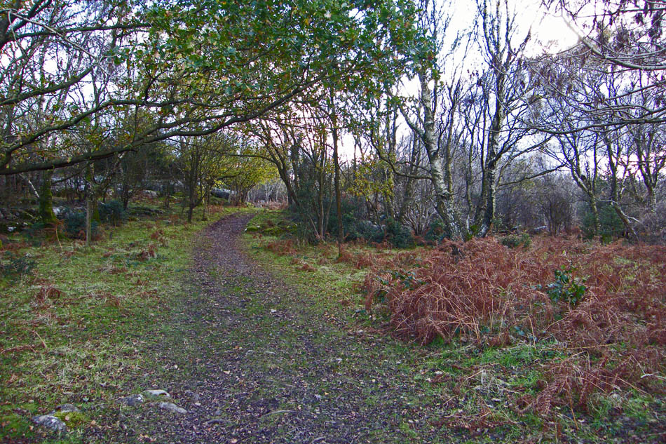
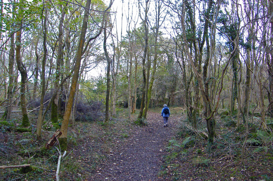
Walking to the summit. There is plenty of limestone scenery along the way. Watch out though it can be very slippy and mossy.
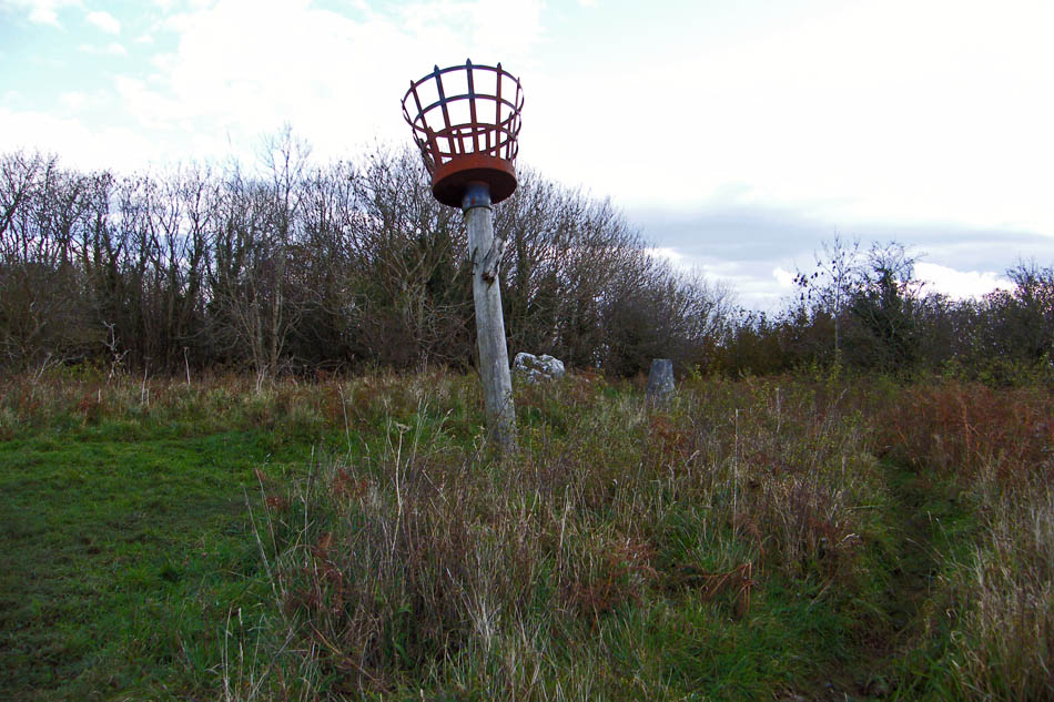
The summit Trig Point and Beacon.
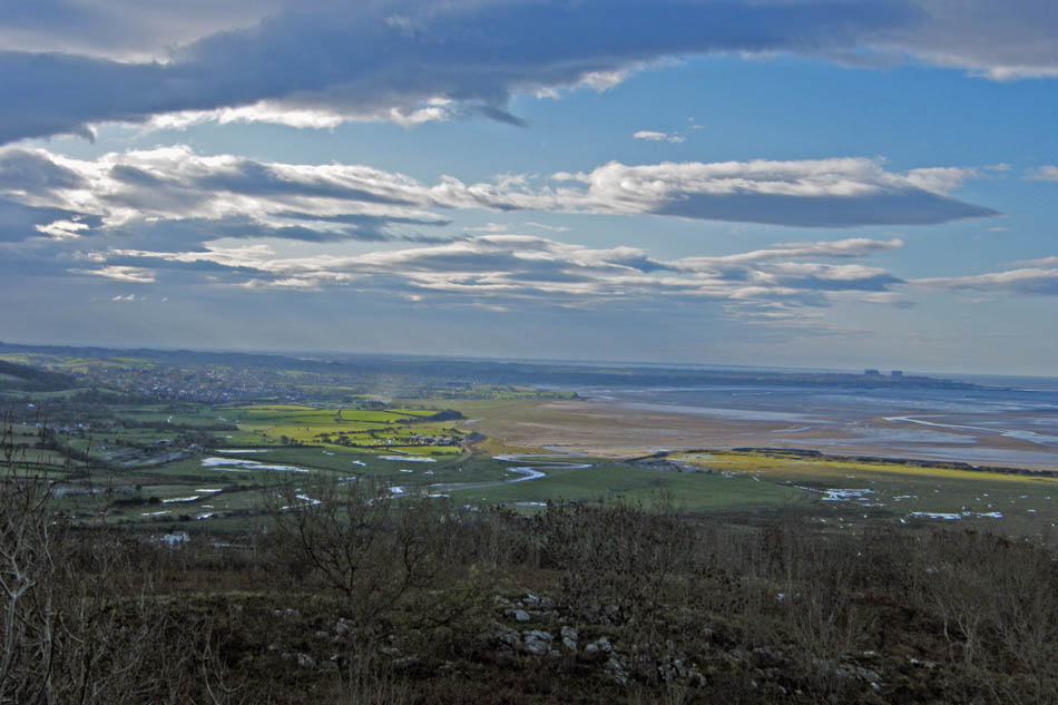
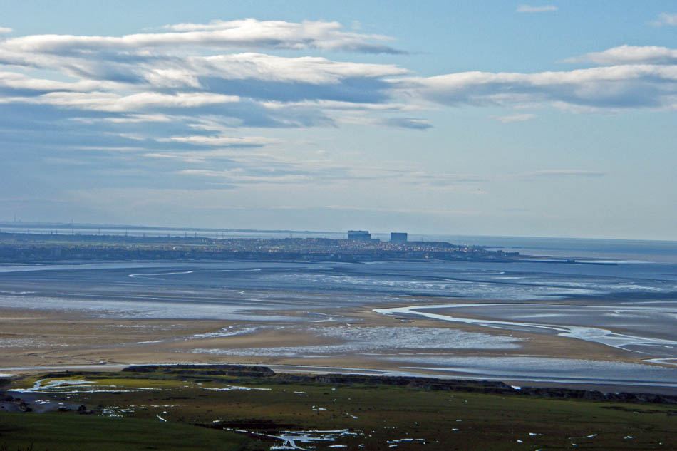
Looking down the bay over Warton Sands. Every time I see this view I try to imagine how those poor Chinese cocklers felt as the cold water swirled around them on the evening of the 5th February 2004. 21 poor souls gave their life here and a further two it is suspected were also lost but never found.
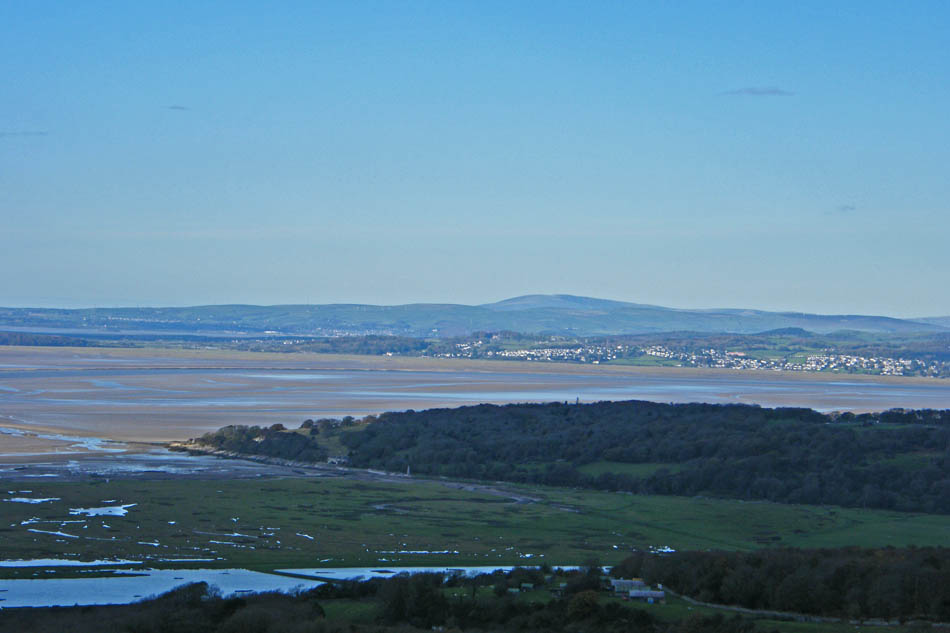
Looking over Jenny Brown's point towards Kents Bank with Black Combe in the distance.
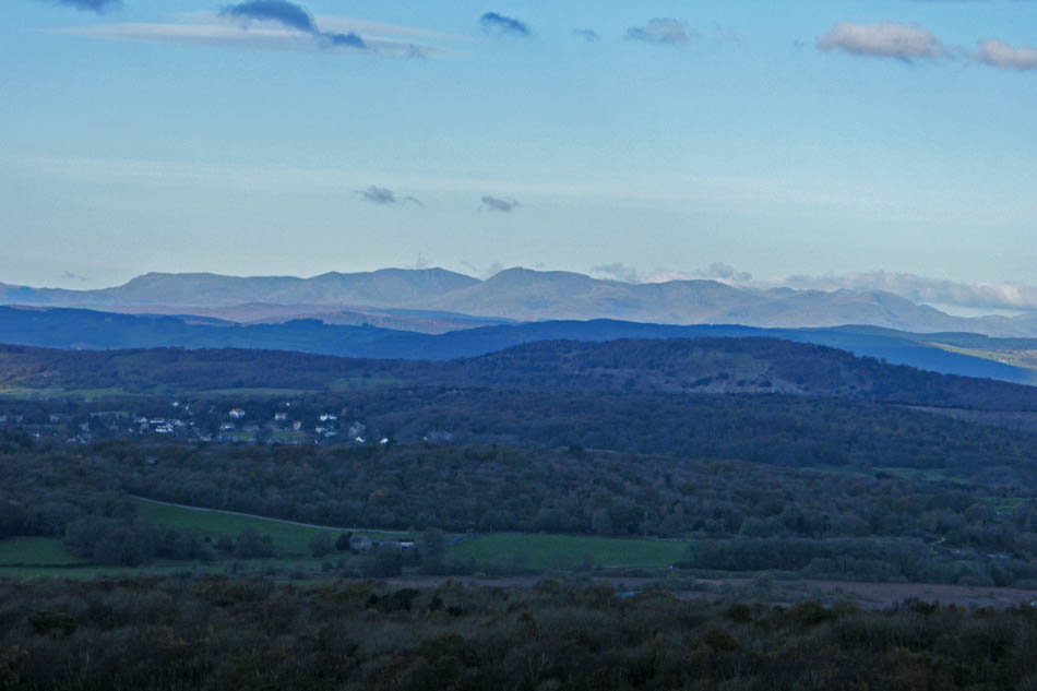
And over Arnside Knott to Coniston Fells which were in the sun.
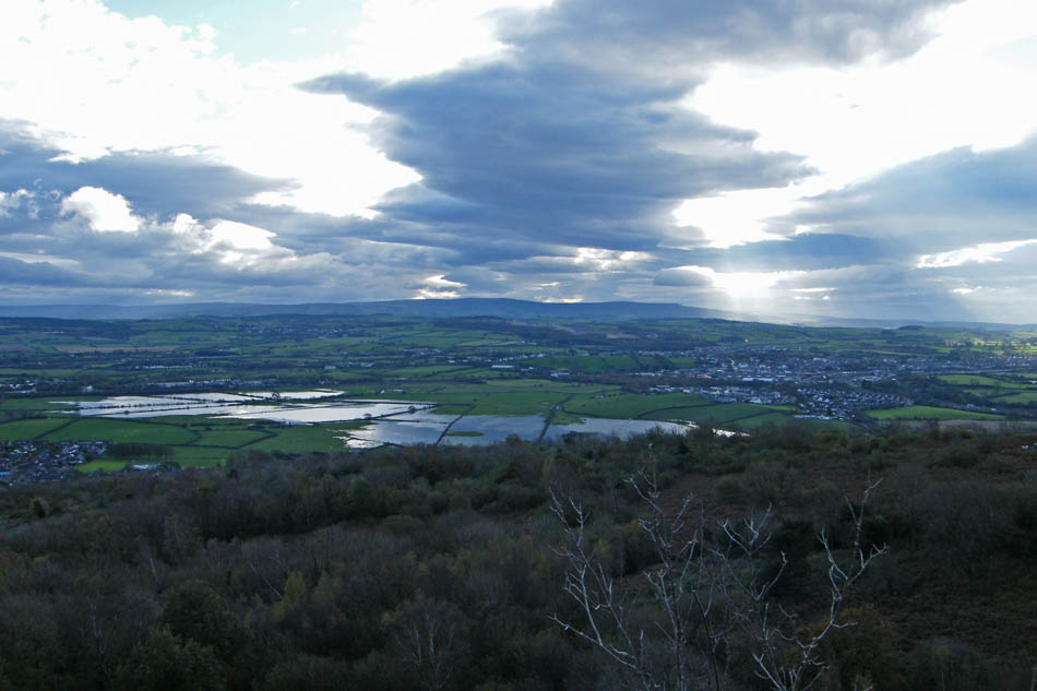
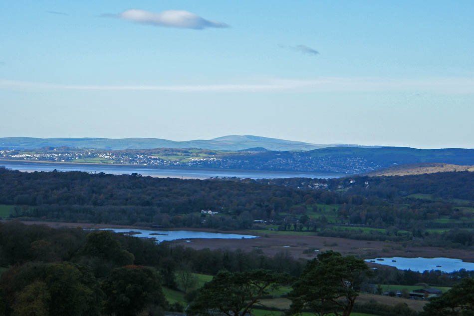
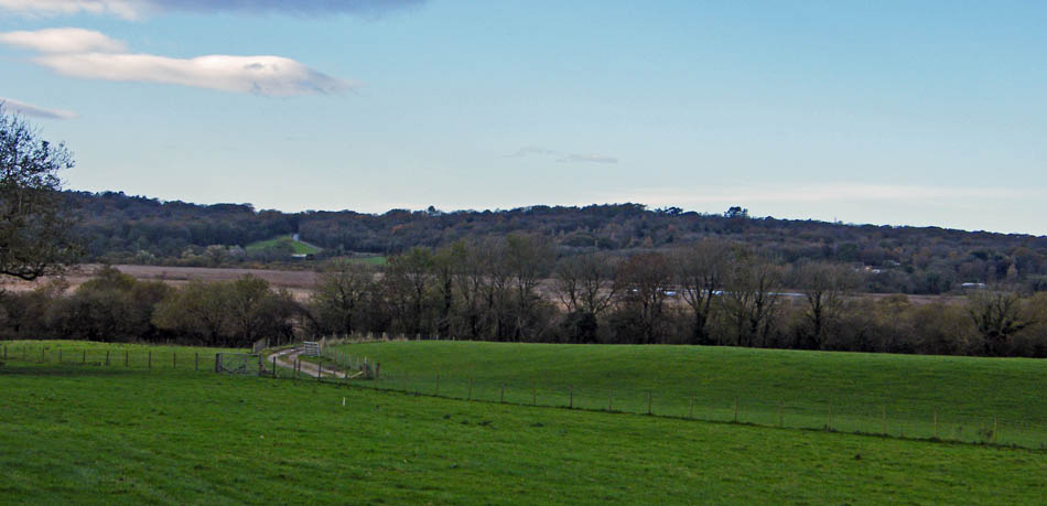
Looking over the still water logged fields and Carnforth towards Clougha Pike
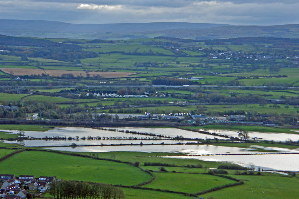
Descending now and looking over flooded fields to the Truck Haven depot at J35 on the M6. 26 people had to be rescued from Truck Haven in the recent flooding and the Lorry/Car park was under 5 feet of water at one stage.
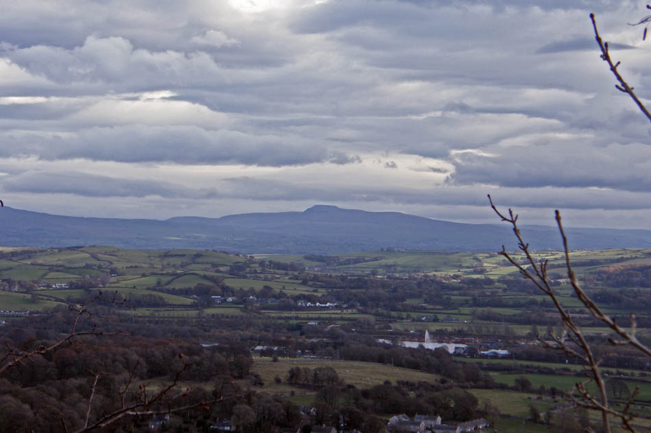
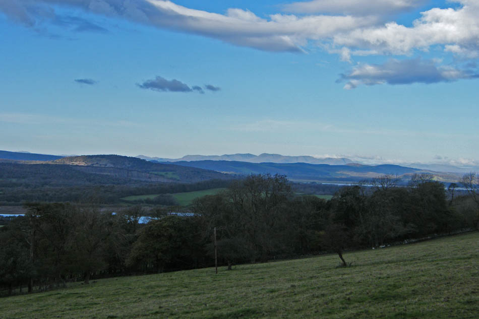
A distant Ingleborough.
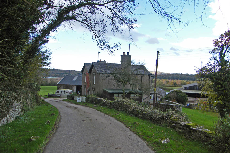
Nearly back at the Coach Road where we turn right for a few yards before taking a permissive path through Three Brothers to the Piggeries. If you are doing this walk always check the notice on the gate as the permissive path is sometimes closed when shooting is going on. We don't want to lose any readers.....If its closed just follow the coach road down to the road and turn left towards Leighton Hall.
Leaving Three Brothers at the Piggeries to turn left up the road past Leighton Hall. Don't go into the main entrance, the footpath is about 25o yards past it on the left.
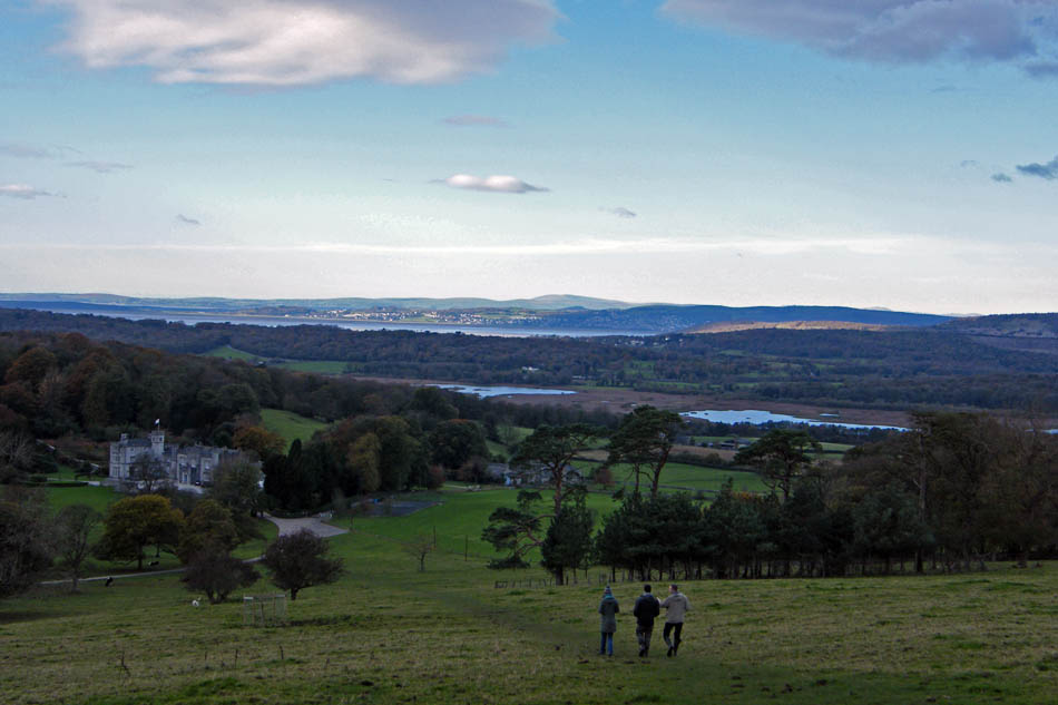
Looking down on Leighton Hall & Moss
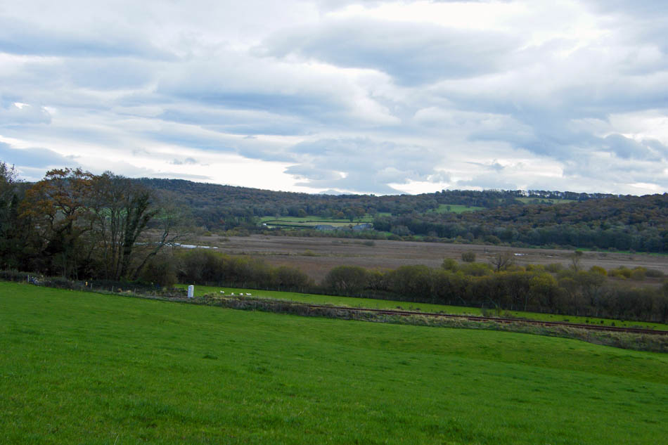
Looking across Leighton Moss and Grange towards Black Combe
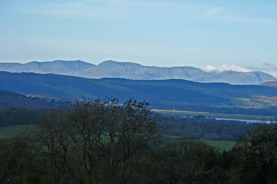
Sunny Conistons
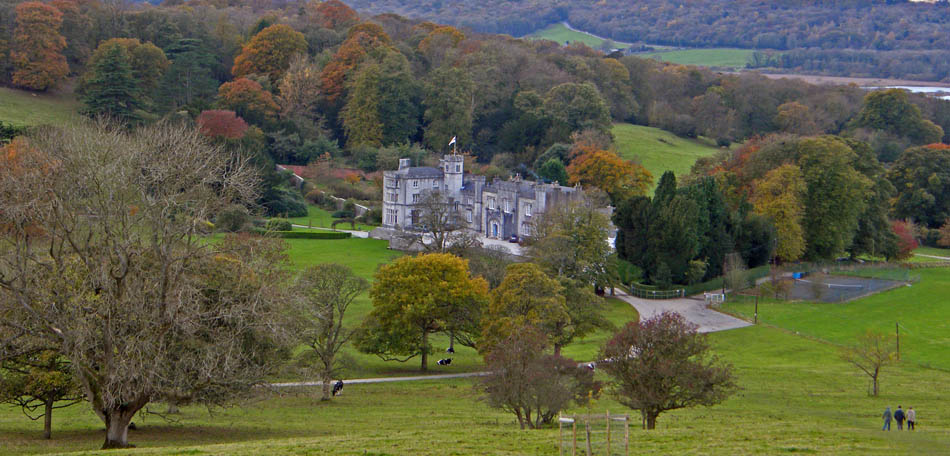
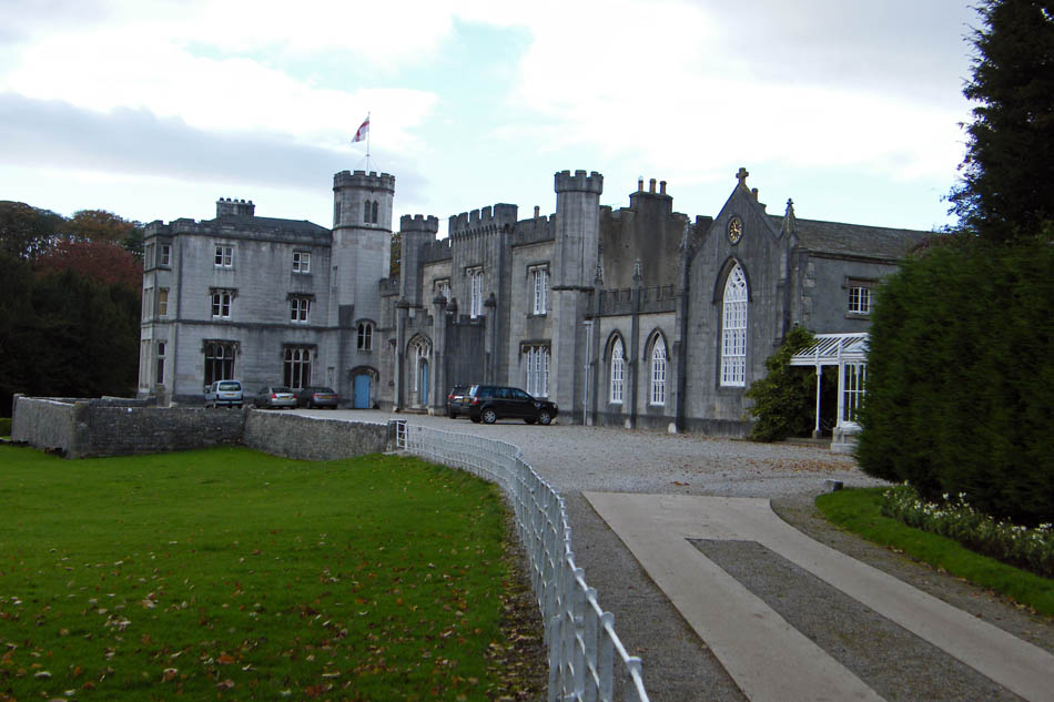
Leighton Hall
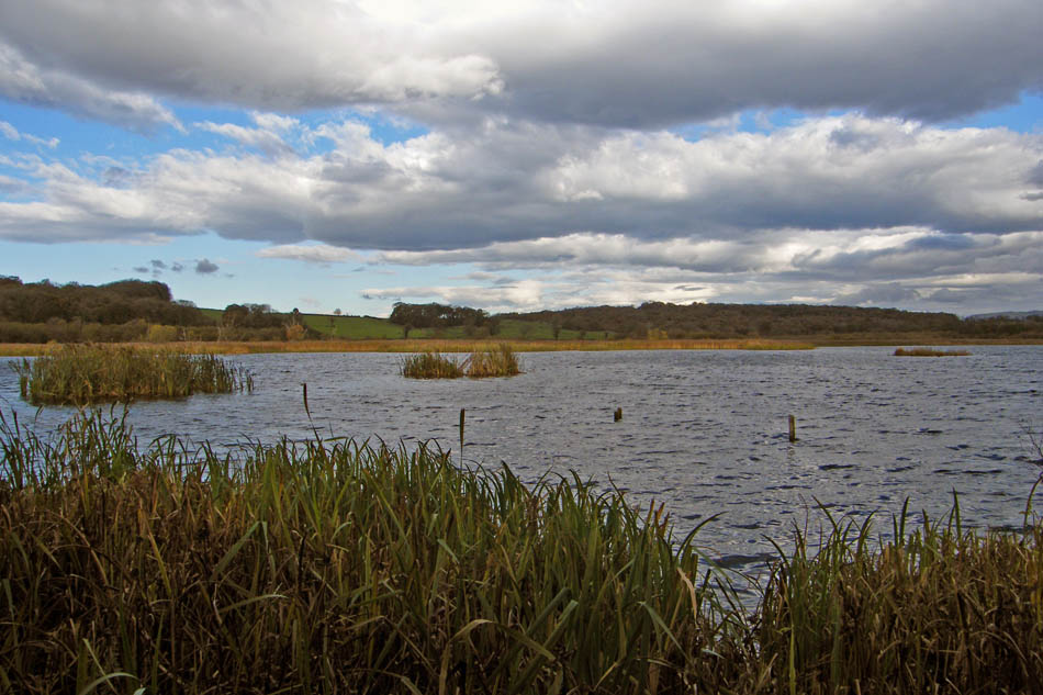
Approaching Leighton Moss
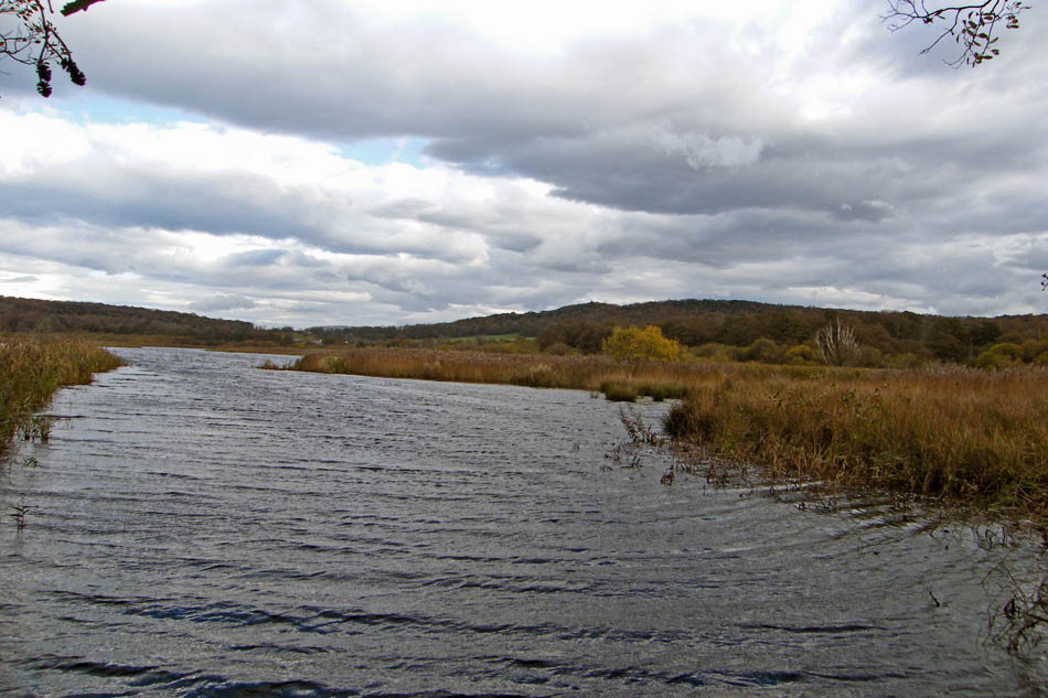
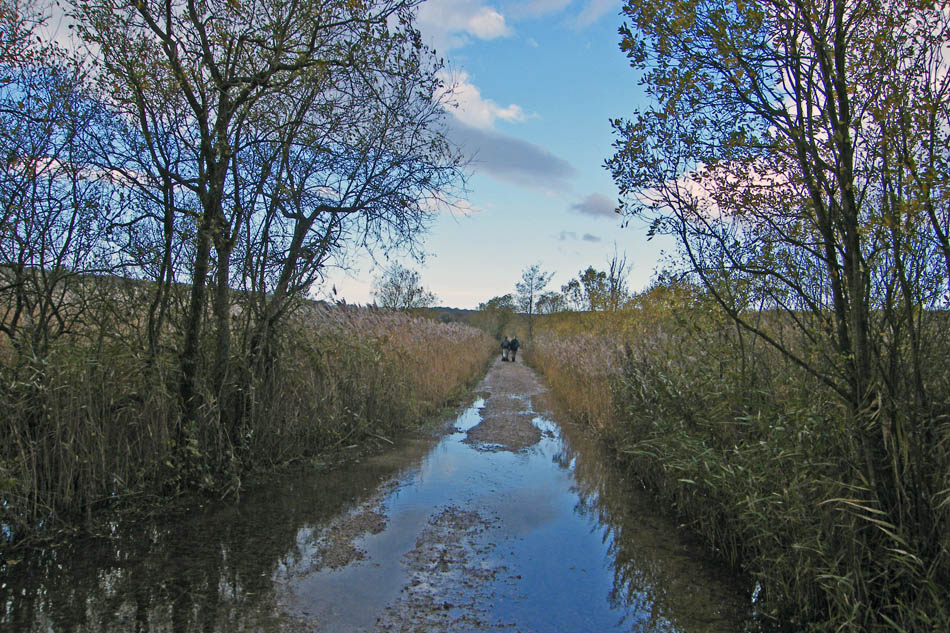
Water was flowing over the causeway in places. I wonder if it flooded a few days earlier or if the outfall managed to keep it clear.
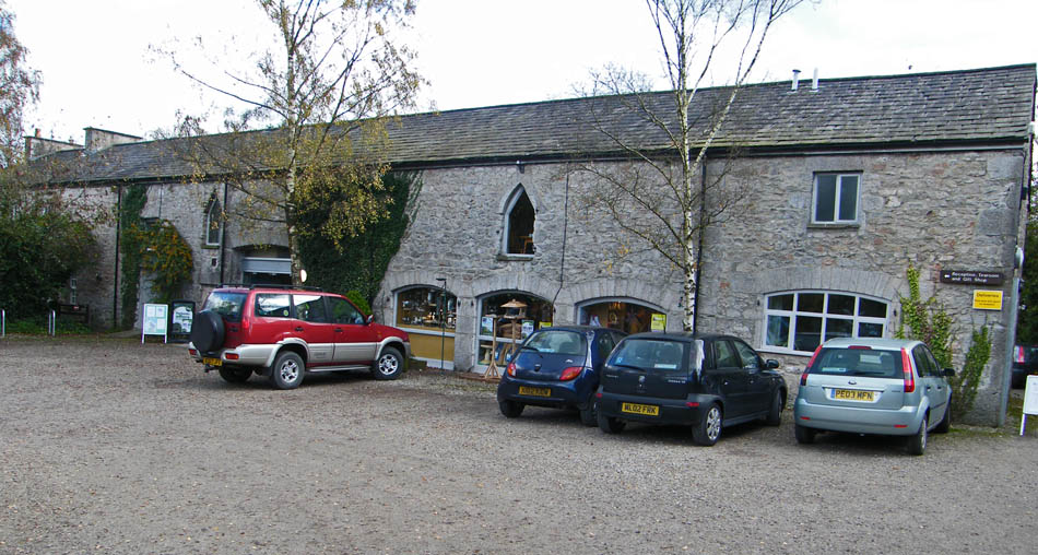
The RSPB Visitor Centre at Leighton Moss and just by chance there is an excellent cafe upstairs.
Suitably nourished it is only a short walk back to the car.
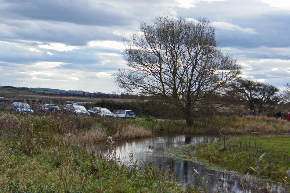
And finally ......back to the car
Next Walk: 3rd November 2008 -- SE Cumbria -- Dallam Park & Beetham Fell from Beetham
Last Walk: 31st October 2008 -- Lake District (SE) -- Potter Fell from Staveley
We hope you have enjoyed viewing this walk. If you have any comments please sign our Guestbook or E_Mail us
