
| Area: | Lake District (SE) | Ascent: | 884 feet |
| Walk No: | 226 | Time: | 2hours 30minutes |
| Date: | 18th November 2008 | Parking: | Tarn Hows NT car park (free to members) |
| Distance: | 5.00 miles | Weather: | Fine & Sunny |
| Route: | Car - Tarn Hows (West side) - Iron Keld - Black Fell - Iron Keld - Tarn Hows(East Side) - Car |
For those of you that are thinking of going onto the hills I would strongly recommend that you read the advice given by the Mountain Rescue organisation of England and Wales. To read this advice, which will open in a new page please click HERE. If you would like to make a donation to the Mountain Rescue organisation which is purely voluntary please click HERE. Please make the time to read the advice page.
I was by myself for this walk and the original intention was just a short walk around The Tarns but it was such a wonderful day and I was feeling a whole lot better after the injection that I decided to tag the small Wainwright summit of Black Fell on to it.
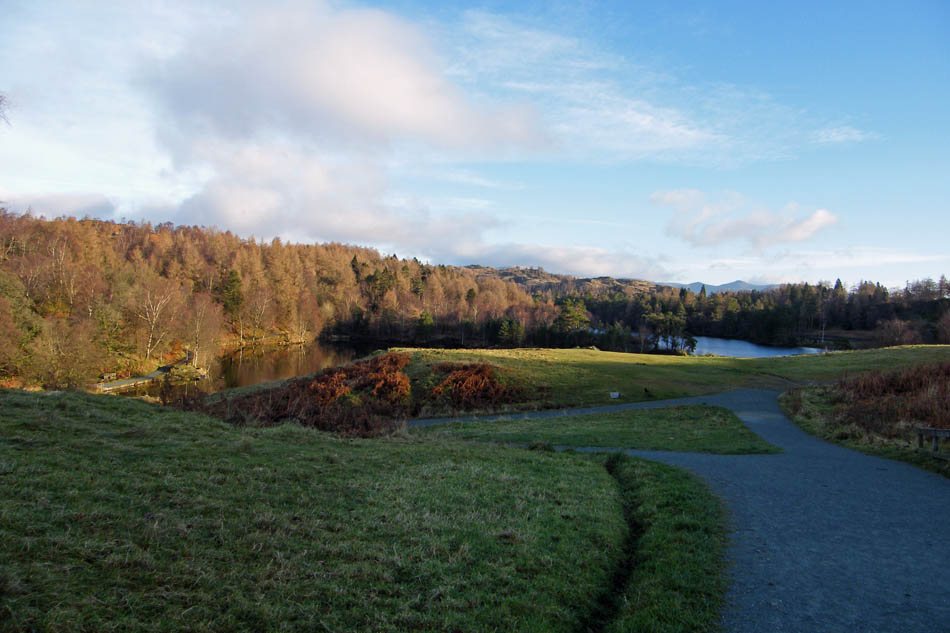
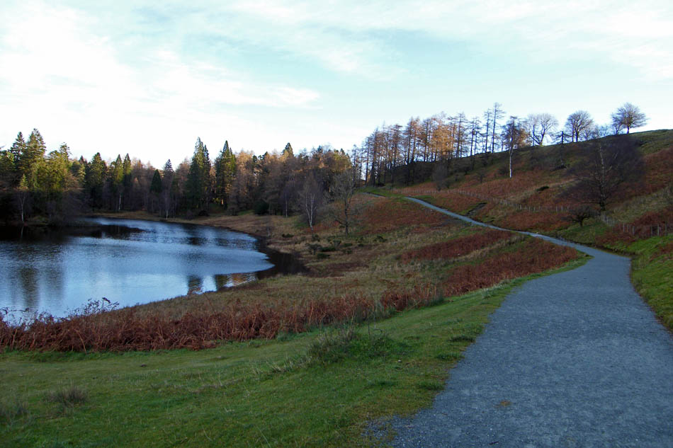
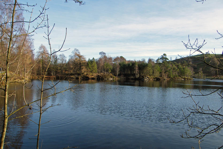
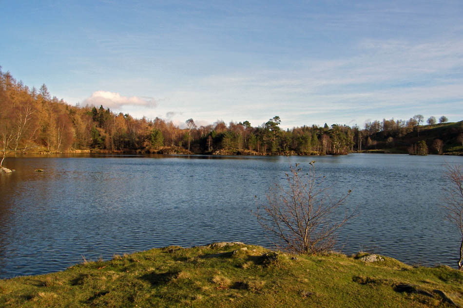
A first glimpse of The Tarns as I left the car park.
It's not often you have this place to yourself but I was the only one in the car park and I couldn't see any other walkers.
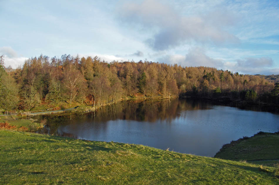
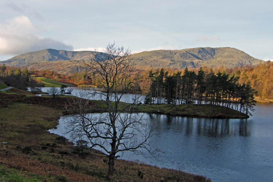
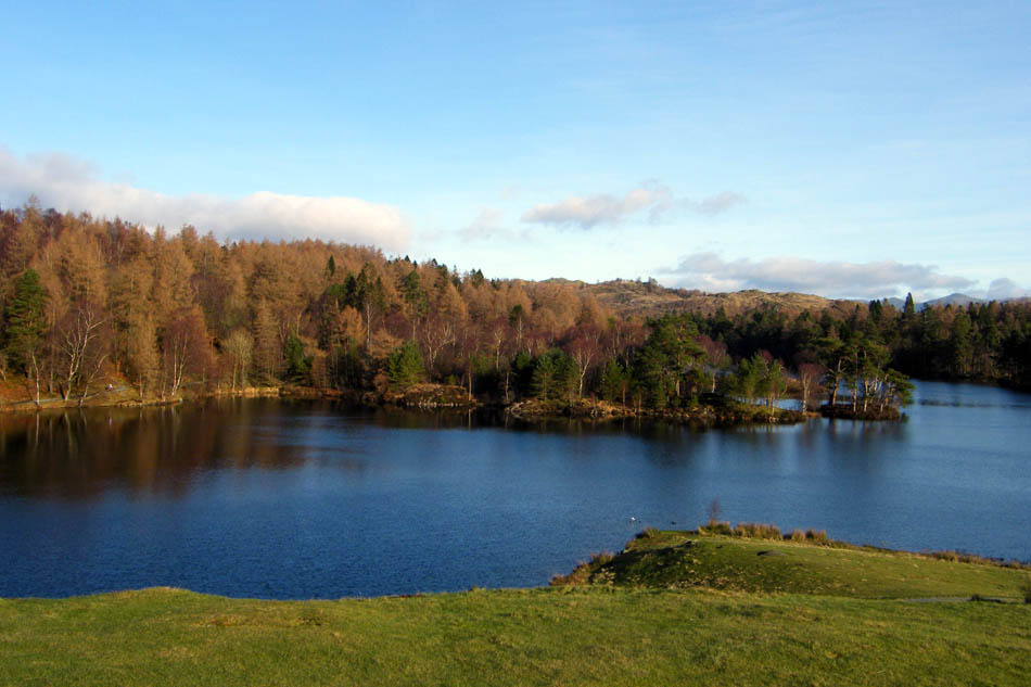
Wetherlam across The Tarns
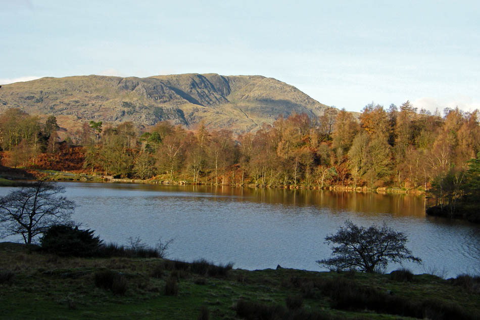
From further along the path a look back to Coniston & Wetherlam
The way ahead
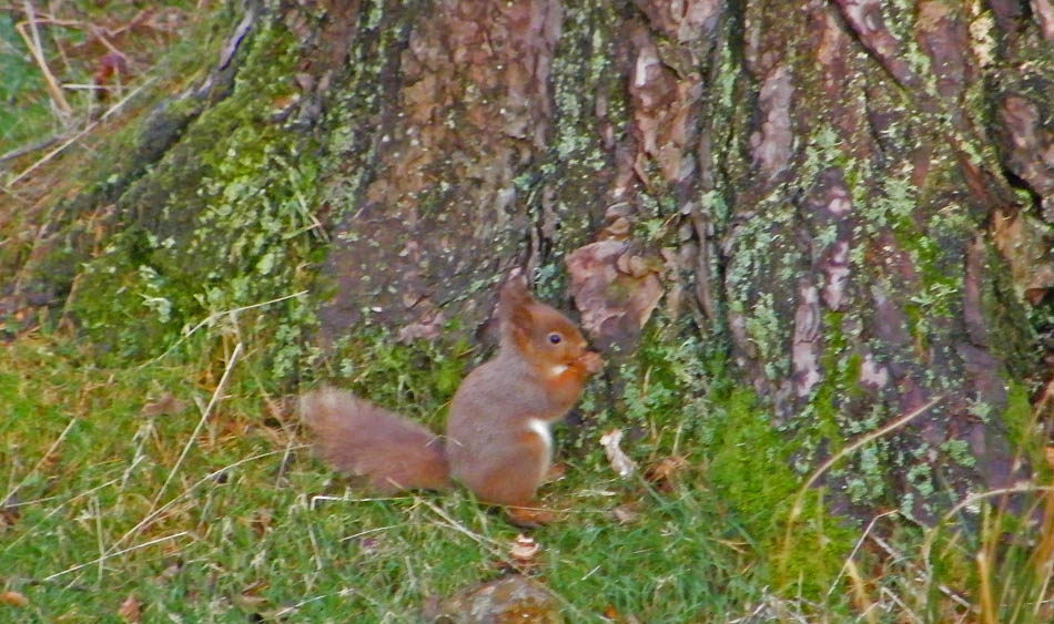
Sorry about the quality but it was a long zoom coupled with a shaky hand
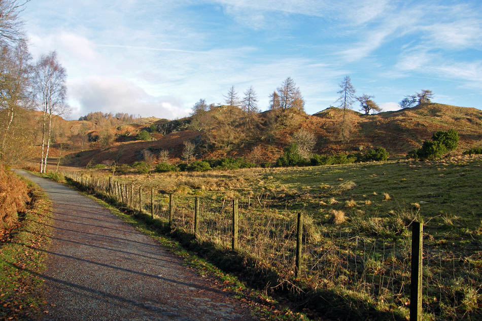
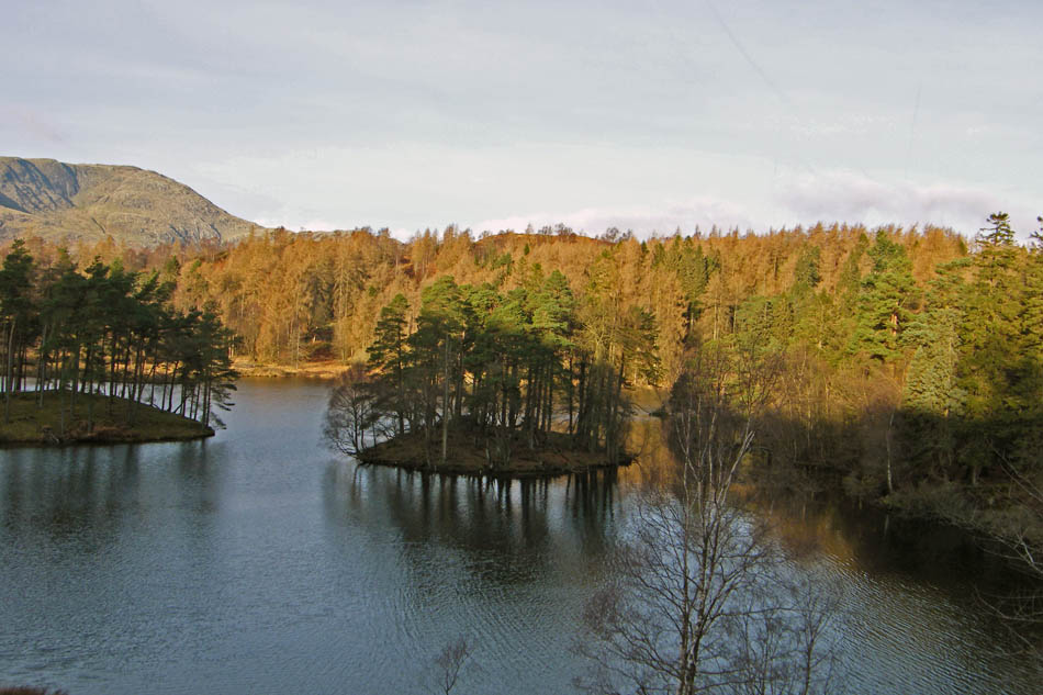
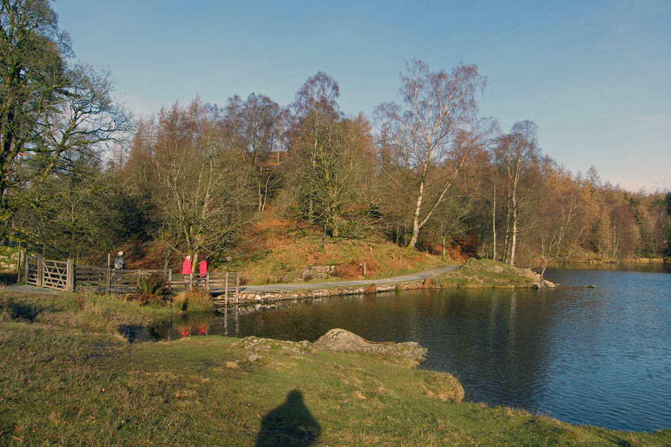
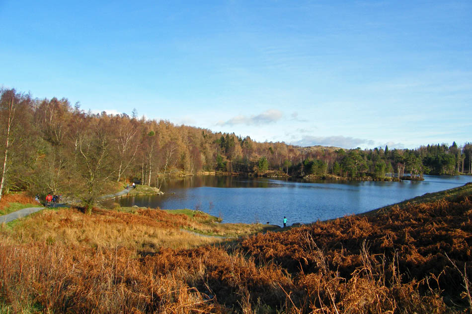
Following the track around the top of The Tarns
A pleasant picnic stop if I had something to eat!!
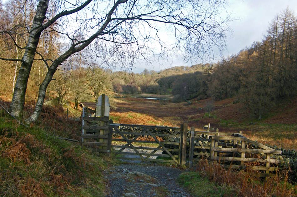
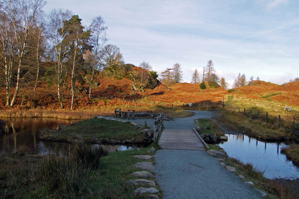
I left the path that encircles Tarn Hows to take a path N'wards. It comes out at this gate to join a bridleway that runs from High Cross to Knipe Fold. My route lays to the right. The tarn ahead is High Arnside Tarn.
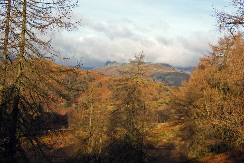
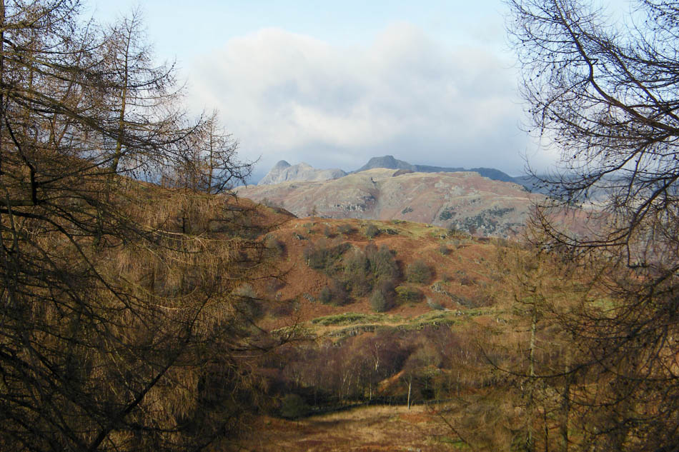
As I walked up the rising path I could just see the Langdale Pikes above Lingmoor through the trees
And looking back, Wetherlam.
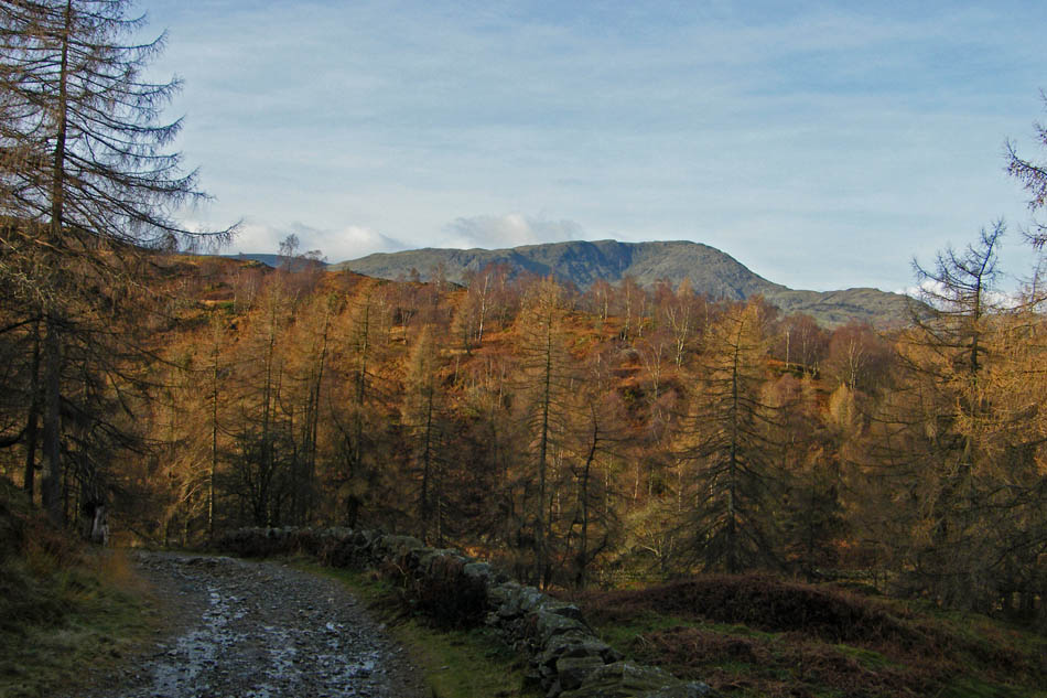
A glimpse of the Coniston Fells as I walk through the desolation that is the Iron Keld plantation.
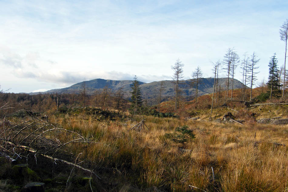
Having left the plantation I took a path, not shown on the OS map but heading N'wards to Black Fell. The Trig point is just left of centre and the cairn is the SE Cairn.
Lingmoor and the Langdales as I walk towards the summit
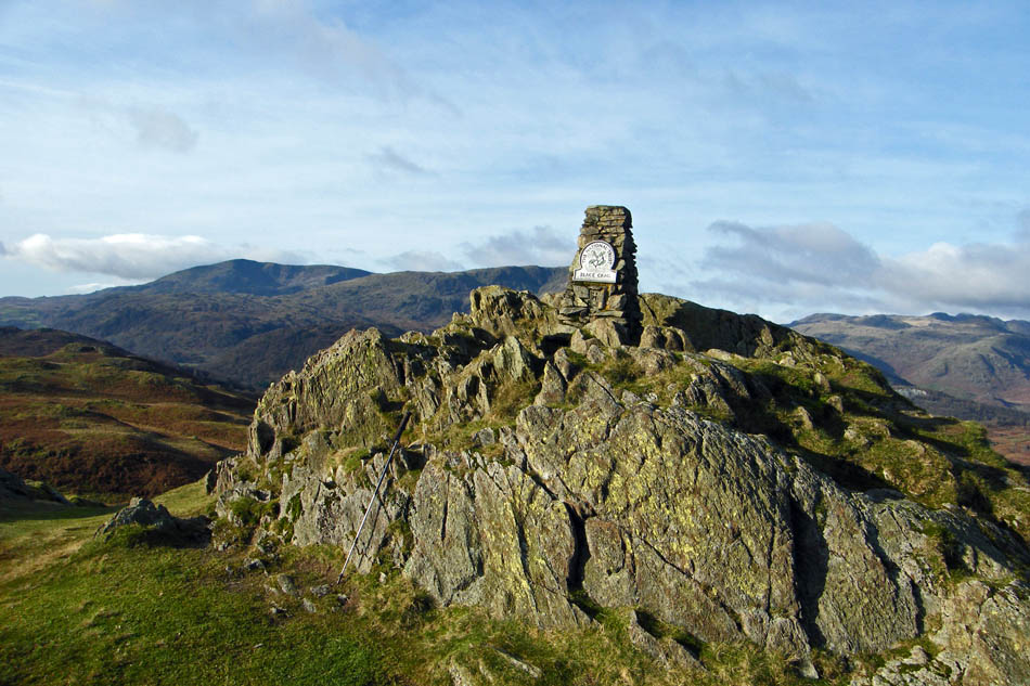
Black Crag summit trig point.
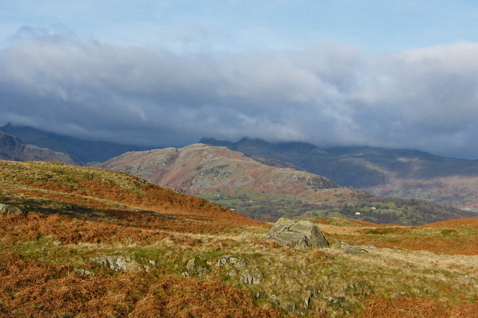
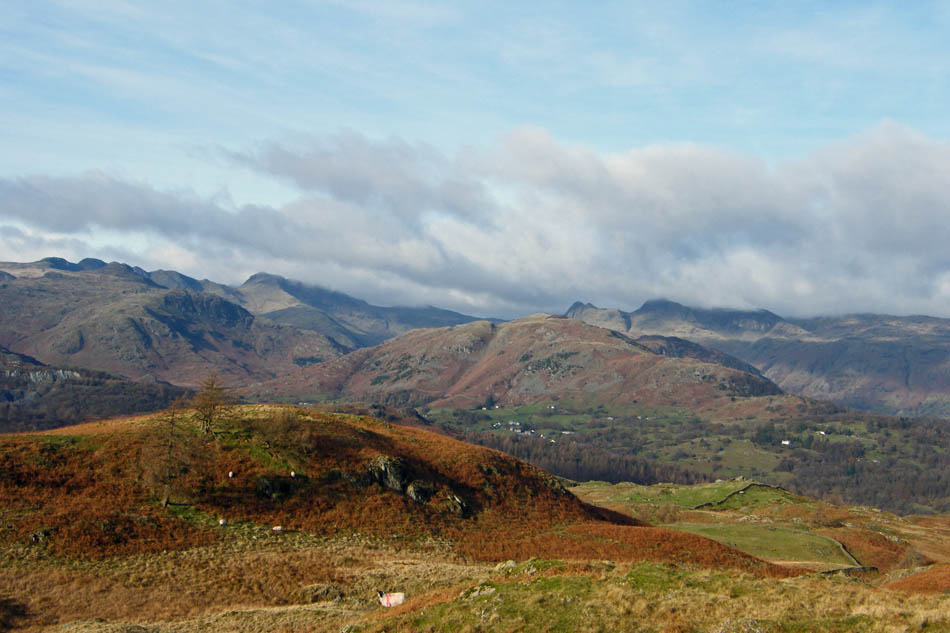
Pike O'Blisco, Cold Pike , Crinkle Crags, Bowfell (under cloud) and The Langdales with Lingmoor in the foreground.
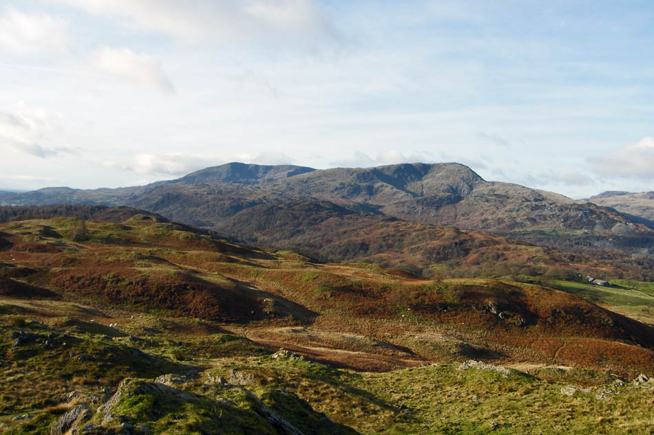
Looking over Holme Fell to Consiton & Wetherlam.
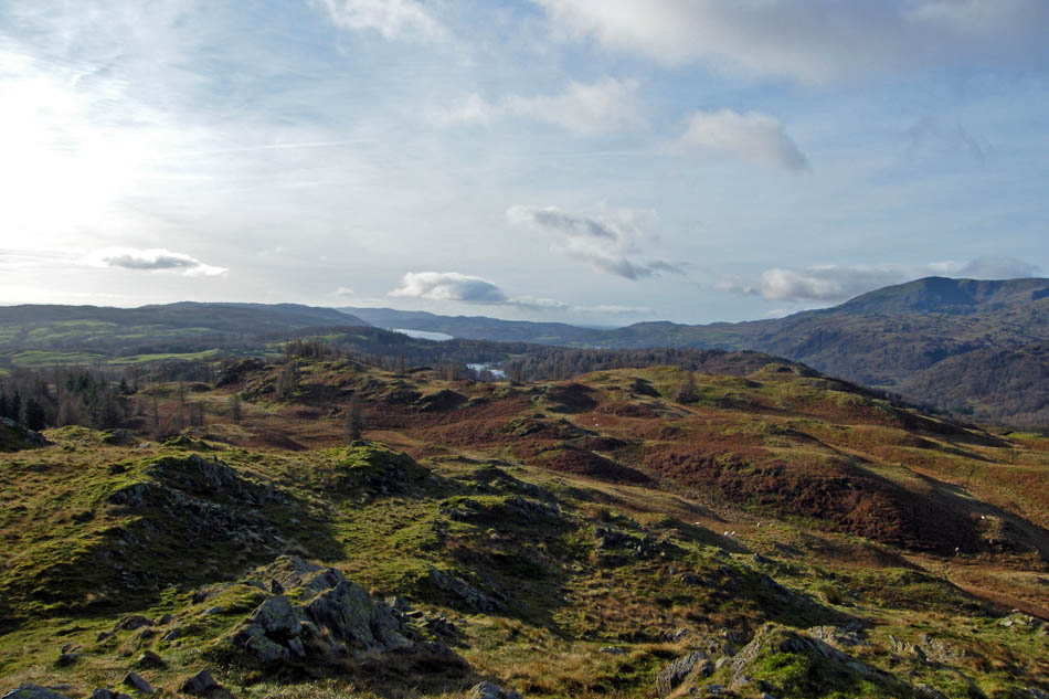
A look S'wards towards Coniston Water
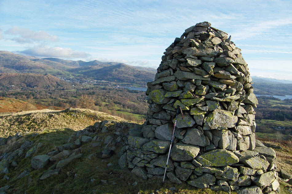
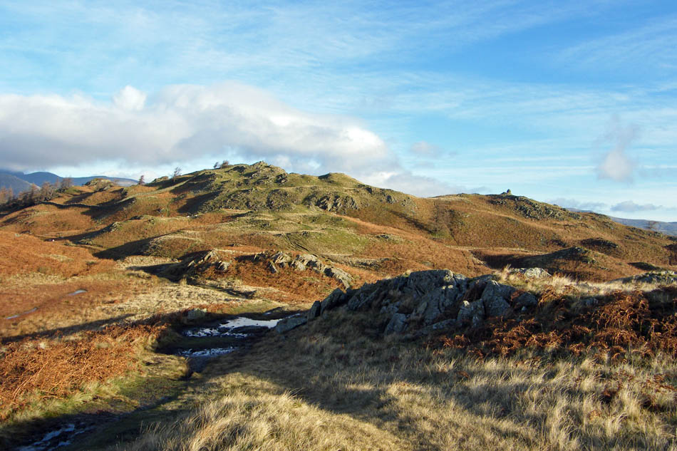
The SE Cairn
A NNE'ly view from the SE Cairn
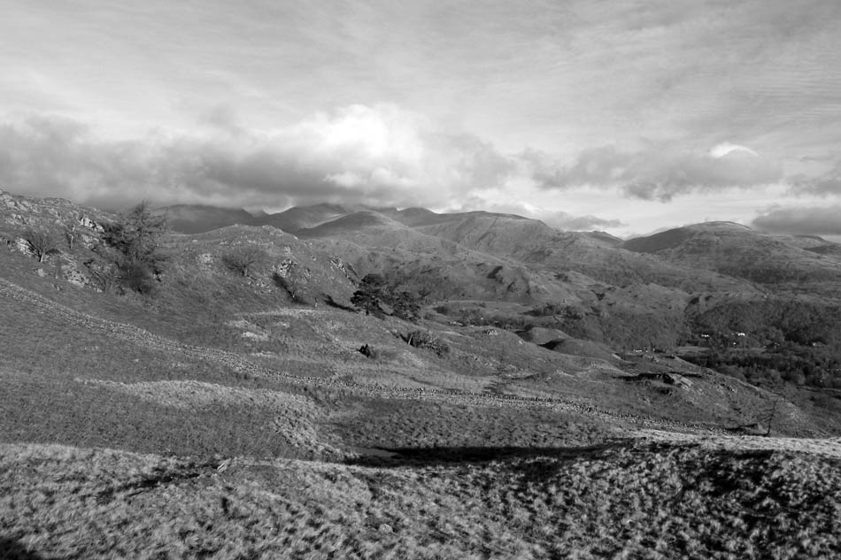
The same view (or almost) in B & W
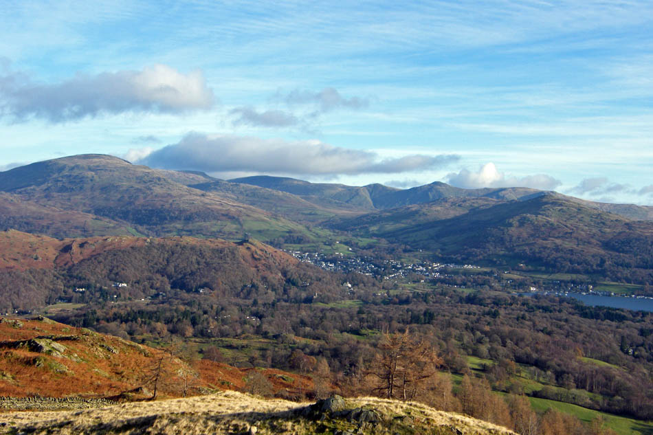
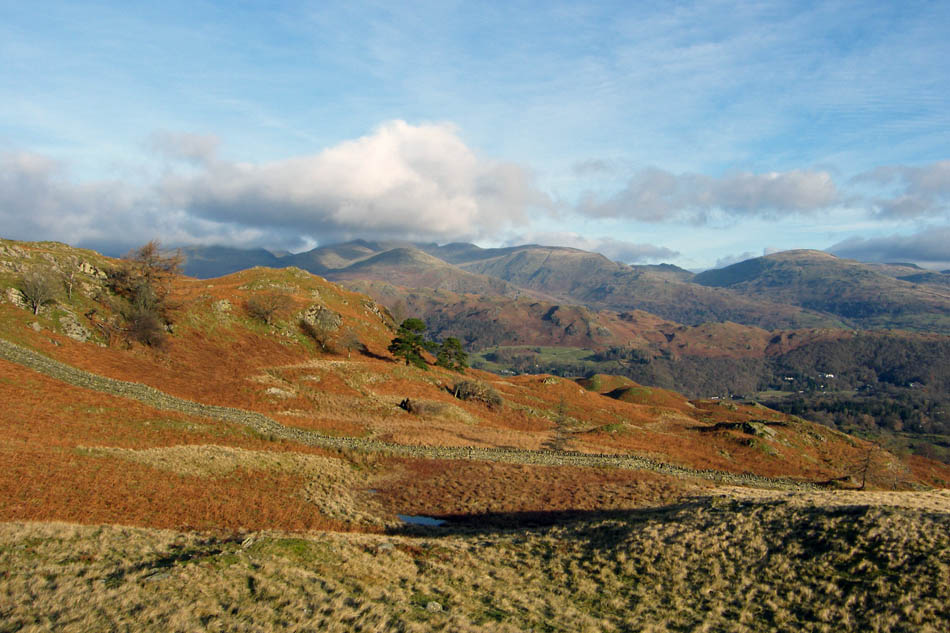
Looking down to Ambleside with the Kentmere Fells in the far distance
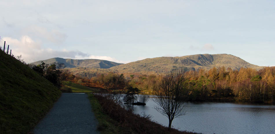
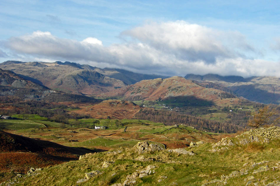
On my way back to The Tarns and a last look into Little Langdale
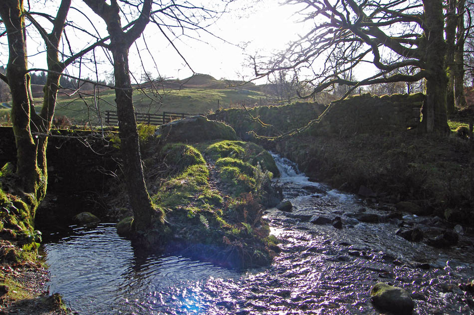
The outlet from The Tarns. I was tempted to follow the ghyll down to the waterfalls but my feet were hurting pretty badly by this time.
The outlet dam. There were originally 3 small tarns here, hence the name "The Tarns", but in 1862 a series of landscape improvements was started which included the building of the dam which raised the level enough to join the 3 tarns together.
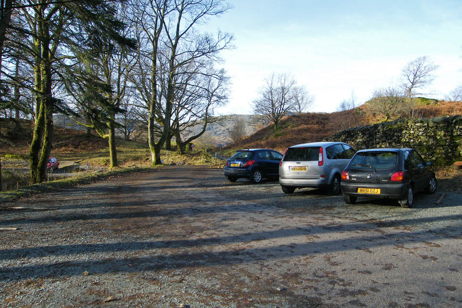
And finally......back to the car
Next Walk: 21st November 2008 -- Lake District (SE) -- Hugill Fell & Reston Scar from Staveley
Last Walk: 16th November 2008 -- Lake District (SE) -- A short Elterwater walk
We hope you have enjoyed viewing this walk. If you have any comments please sign our Guestbook or E_Mail us
