
| Area: | Lake District (SE) | Ascent: | 720 feet |
| Walk No: | 227 | Time: | 2 hours |
| Date: | 21st November 2008 | Parking: | Roadside at Staveley |
| Distance: | 3.50 miles | Weather: | Cloudy with light rain brightening towards the end |
| Route: | Staveley - Scroggs Farm - Scroggs Bridge - Black Crag - Reston Scar - Staveley |
For those of you that are thinking of going onto the hills I would strongly recommend that you read the advice given by the Mountain Rescue organisation of England and Wales. To read this advice, which will open in a new page please click HERE. If you would like to make a donation to the Mountain Rescue organisation which is purely voluntary please click HERE. Please make the time to read the advice page.
We are usually quite lucky with the weather for our walking mainly becaue being retired we can pick and choose our days which wan't possible when we were working. The forecast for today had been for a bright start with a band of light rain moving in around mid afternoon becoming brighter again later. As it turned out the band of light rain decided to make an appearance a lot earlier but didn't spoil this little walk at all.
We had left home in bright sunshine however by the time we arrived at Staveley it was quite dull. having parked up we walked up the Kentmere road to Barley Bridge on our way to Scroggs Farm.

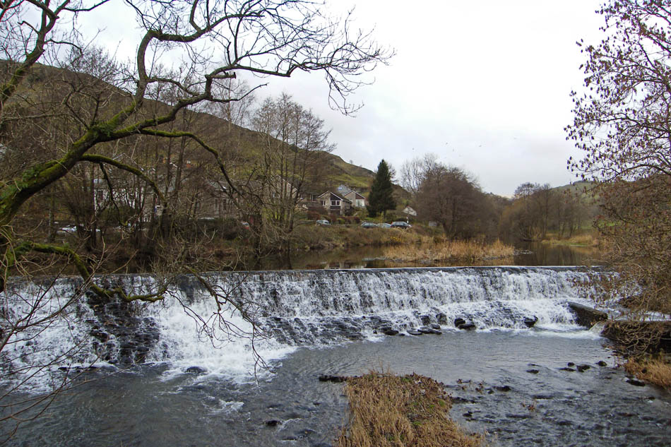
A look over the River Kent towards Reston Scar
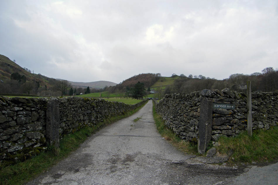
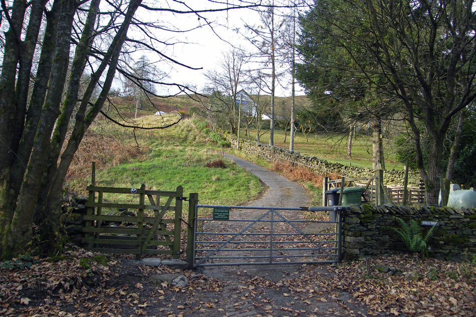
Not long after crossing Barley Bridge we took the lane to Scroggs Farm
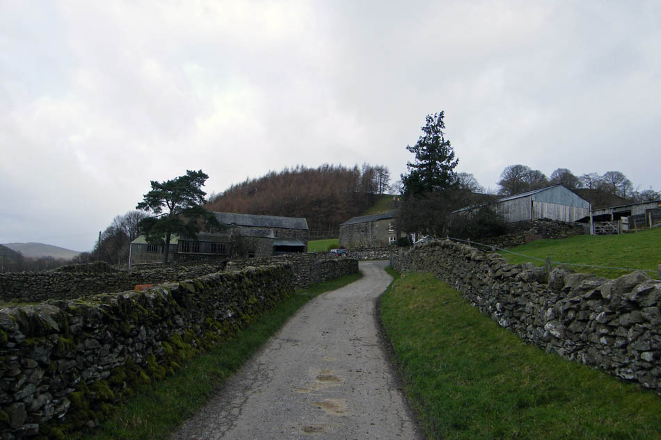
Scroggs Farm. Just follow the track straight through the farmyard.
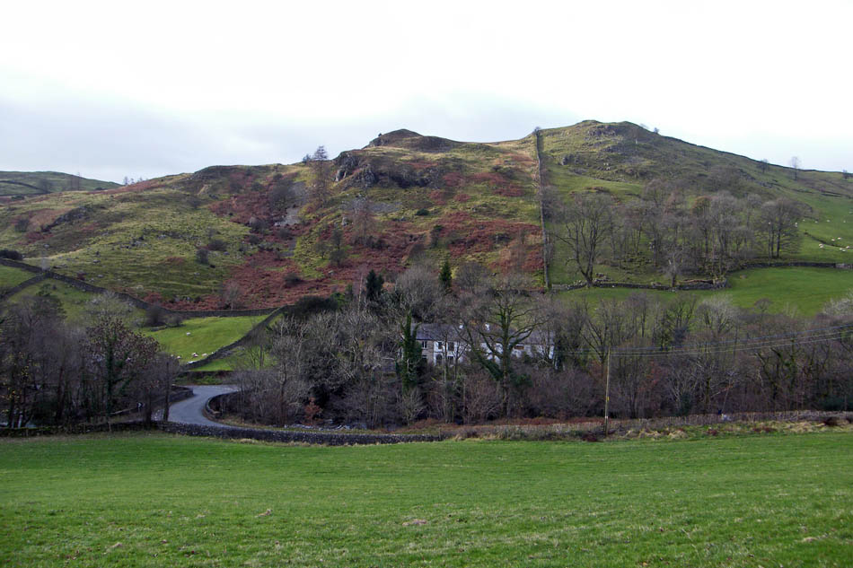
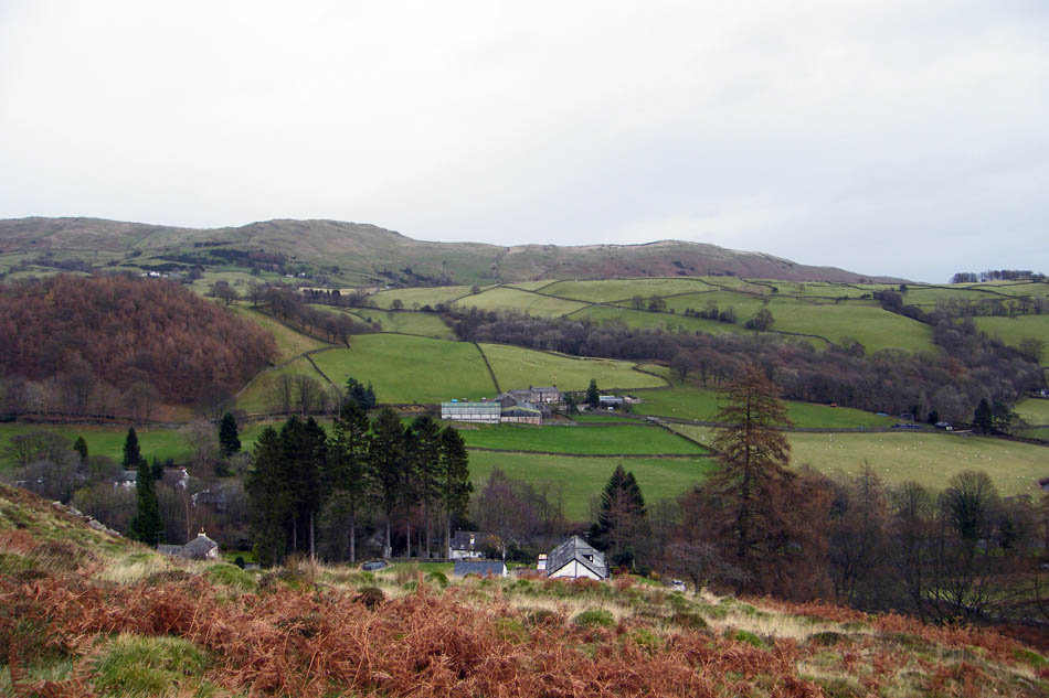
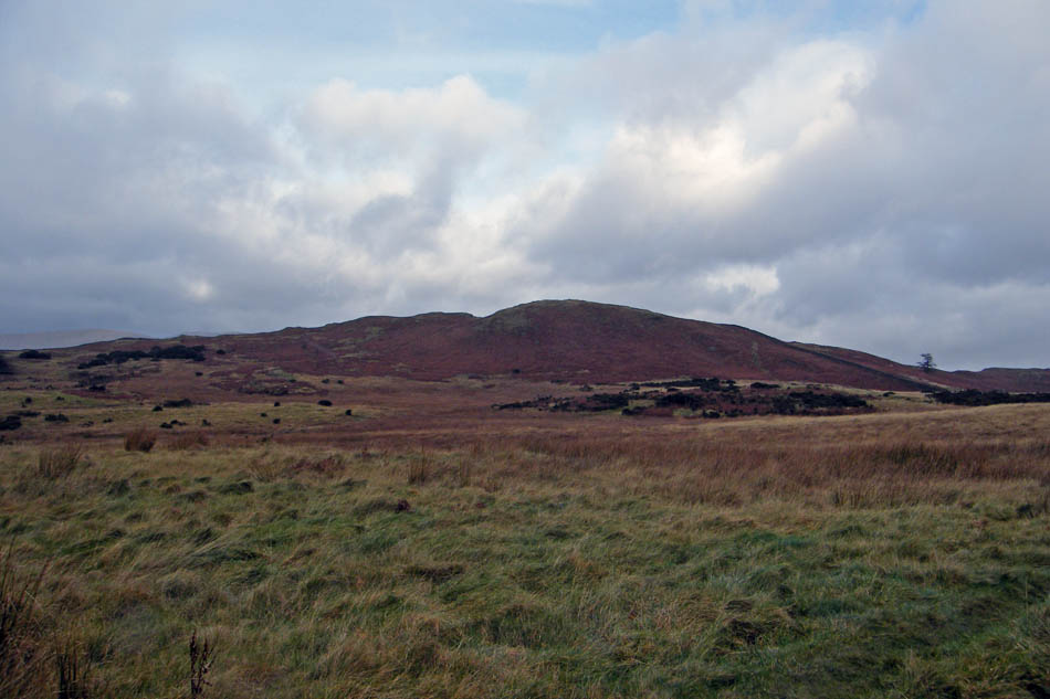
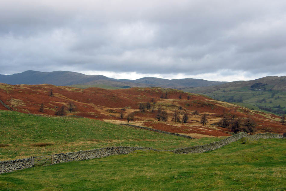
Black Crag (AW's summit) on Hugill Fell from Scroggs Farm. You can see the path we will use just to the left of centre that passes the bungalow AW mentions in his Outlying Fells book.
The lane through Scroggs Farm eventually leads down to the Kentmere road where we turn left back towards Staveley to cross Scroggs Bridge shown here.
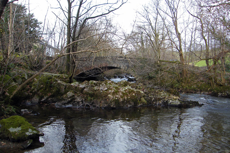
Scroggs Bridge
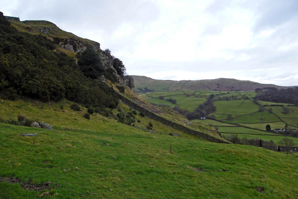
A couple of hundred yards down the road is the path up to Black Crag.
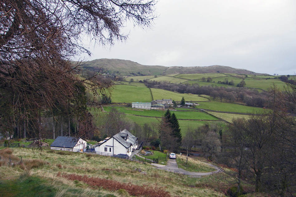
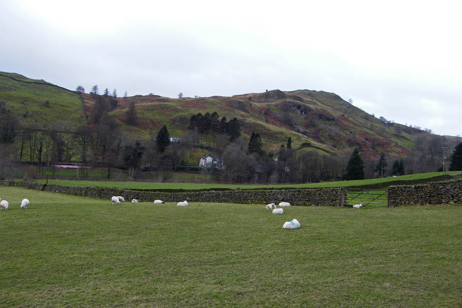
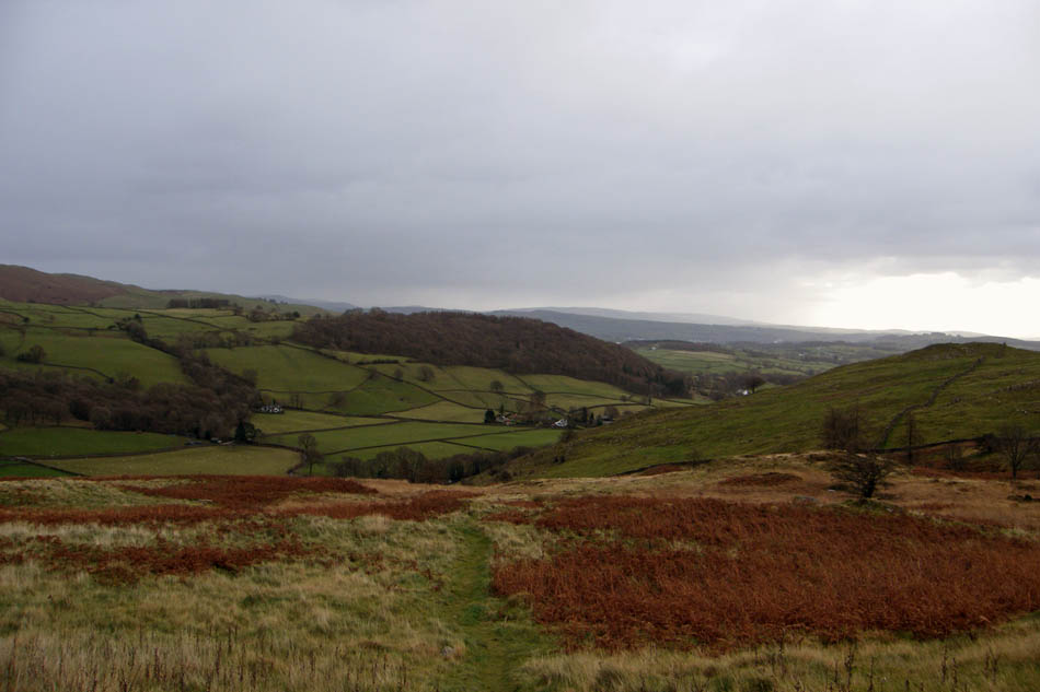
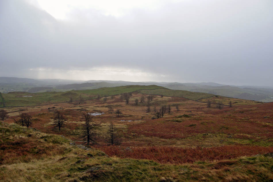
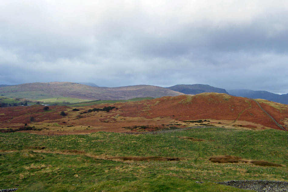
As we gain a bit of height the view across the valley to Scroggs Farm with Brunt Knott behind.
A little higher....
and a look S'ly
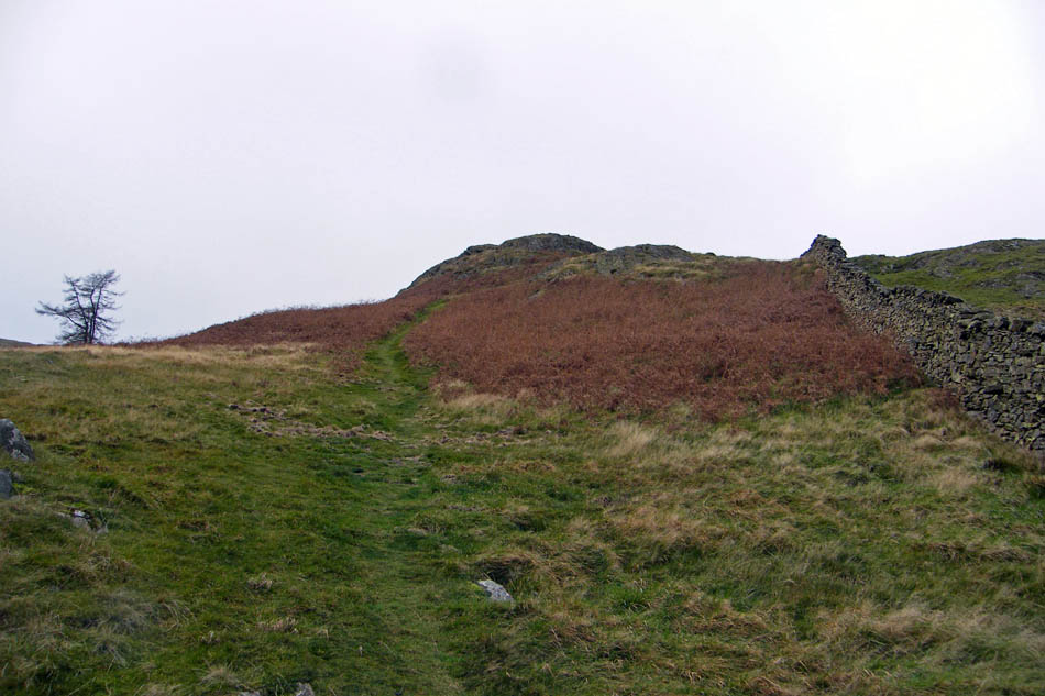
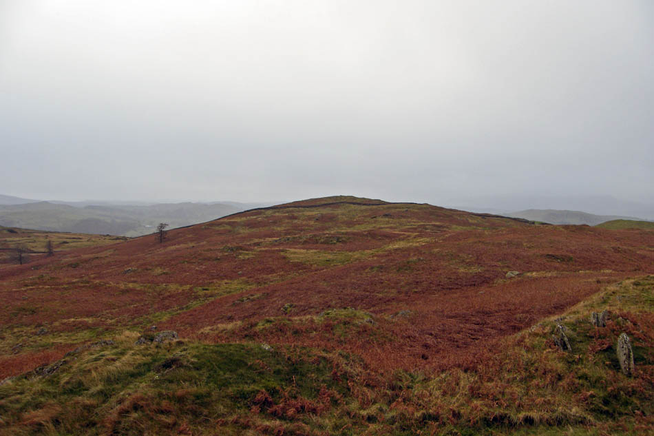
Nearly there...
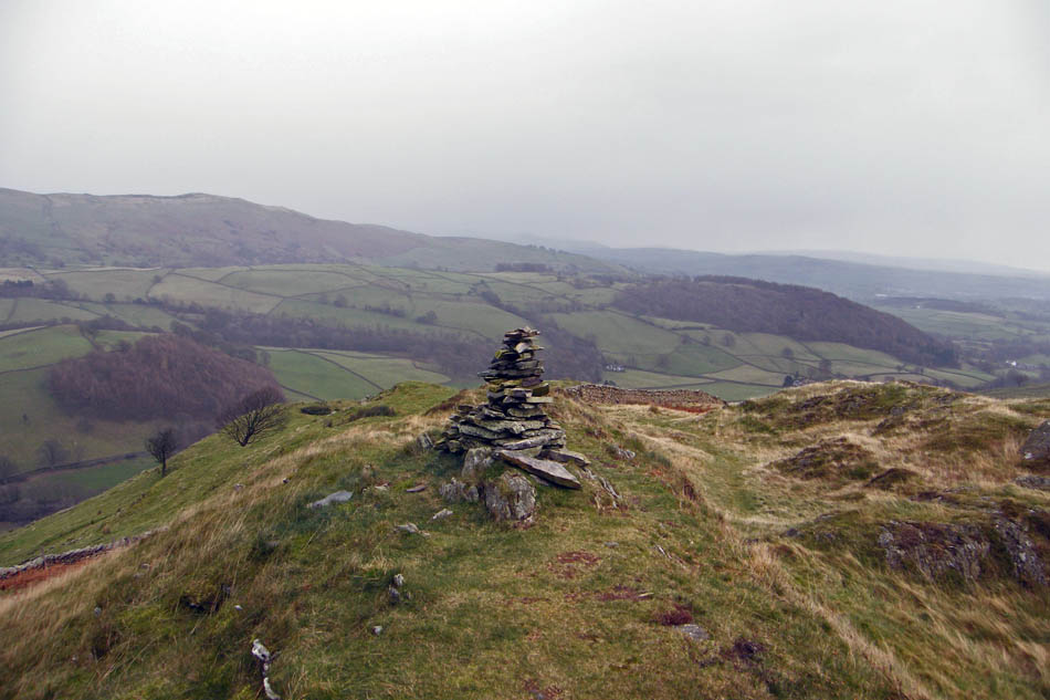
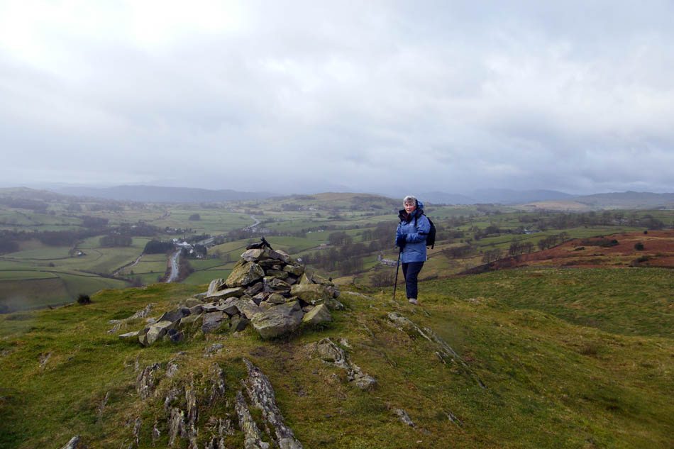
AW's summit cairn. Sadly not as good as the one drawn in his book but now at least rebuilt.
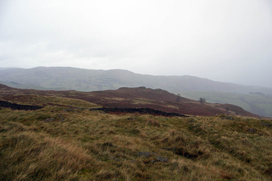
Looking to Reston Scar
and the highest point of Hugill Fell. This is now access land and it is possible to visit both the highest point and Reston Scar unlike when AW wrote his book.
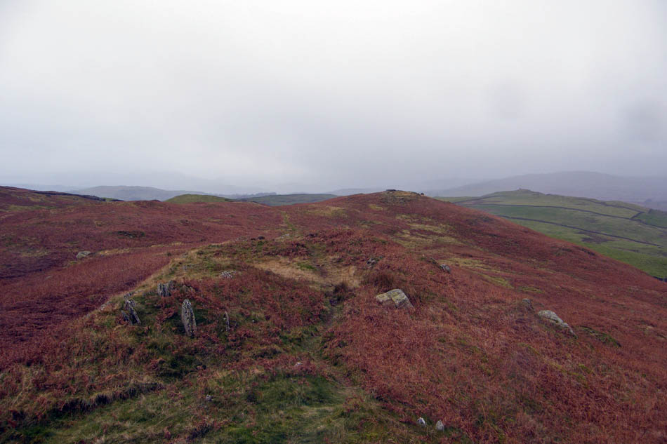
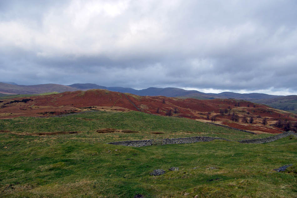
Our route would follow the highest points before crossing over to the true summit.
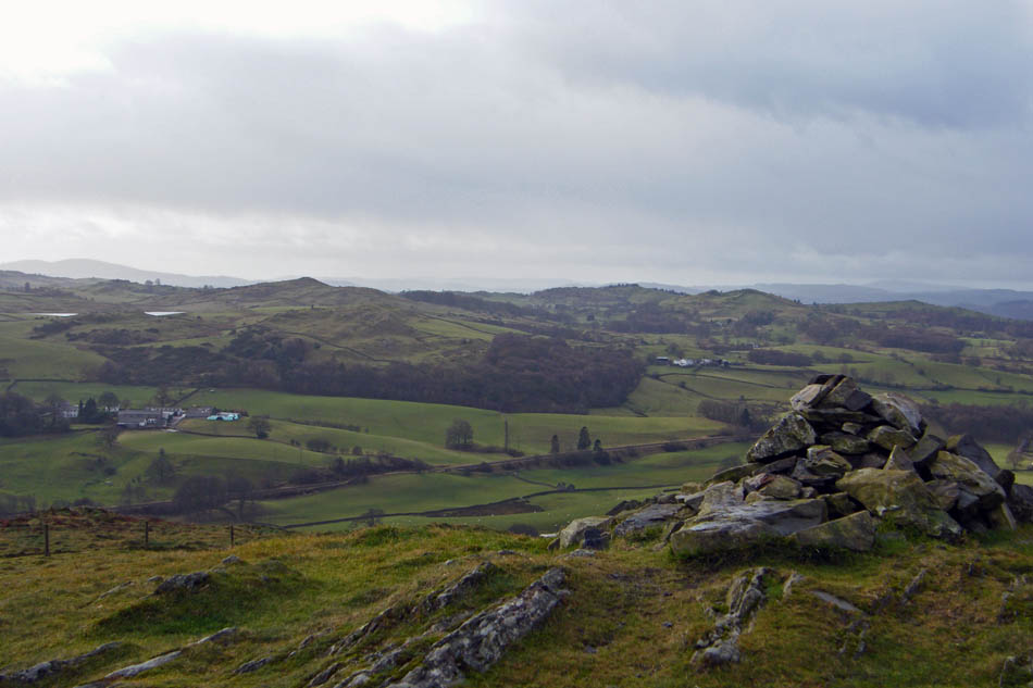
The highest point of Hugill Fell looking towards Reston Scar
And across to the AW summit
Looking back to the highest point and a patch of blue sky as we make our way to Reaston Scar
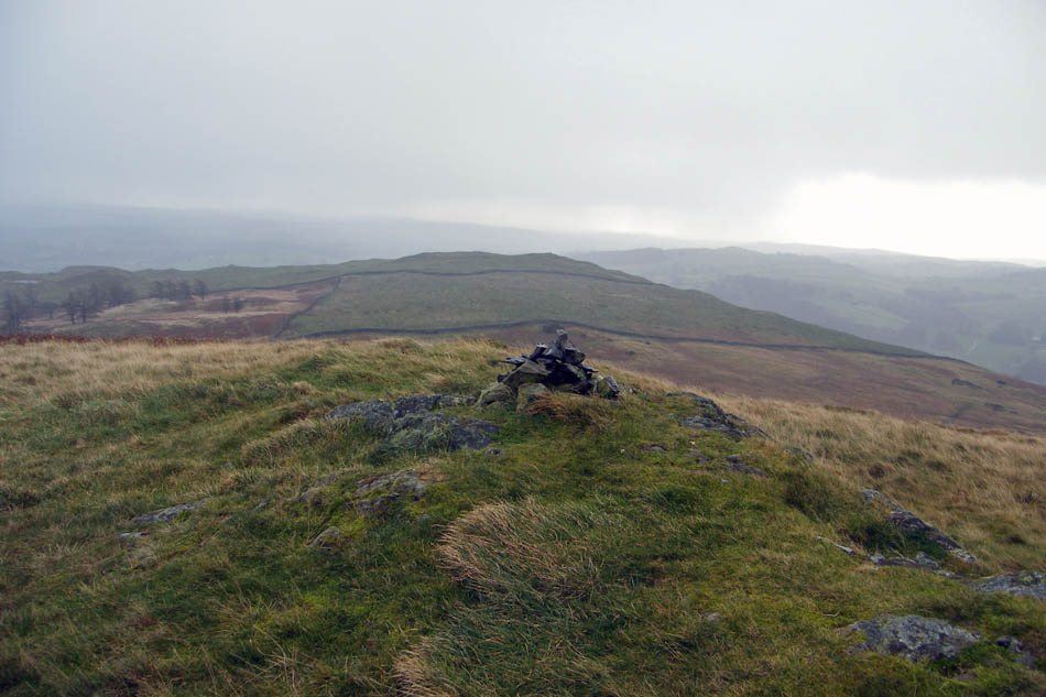
Reston Scar summit cairn
It's brightening now the walk is all but over
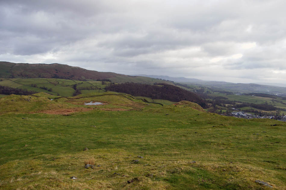
Leaving the summit on our way to Kemp Tarn
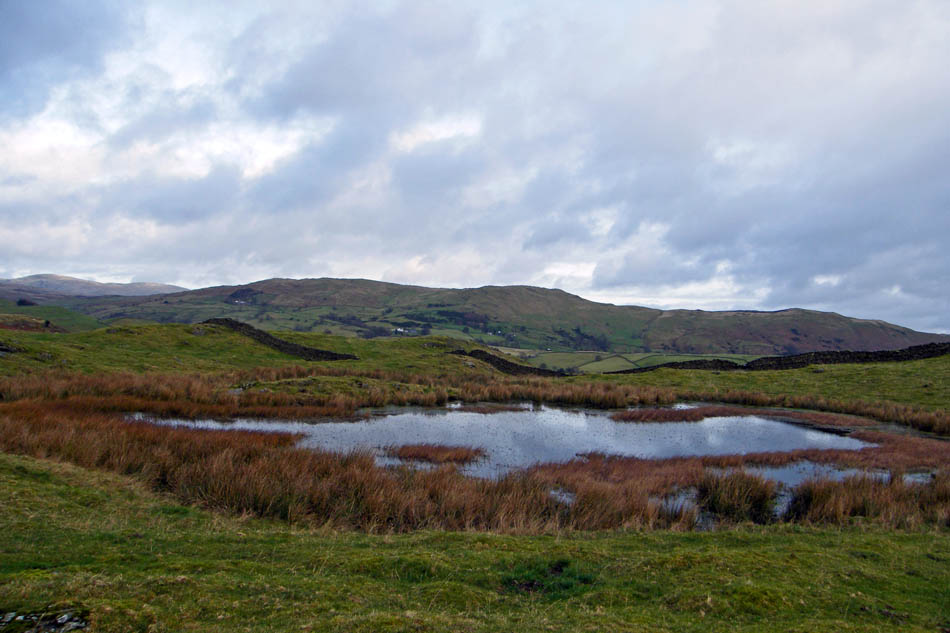
Kemp Tarn
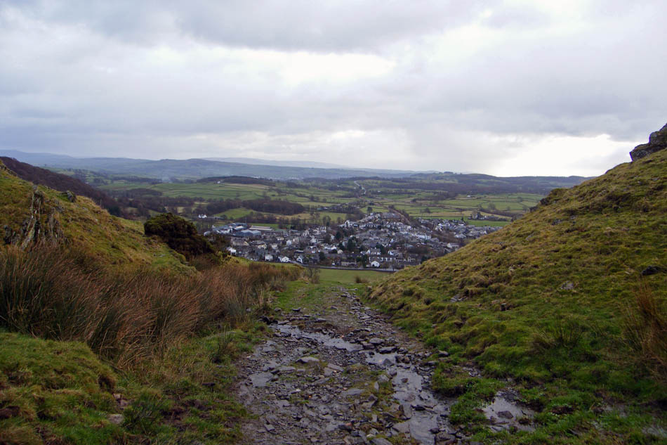
On the track down with Staveley ahead
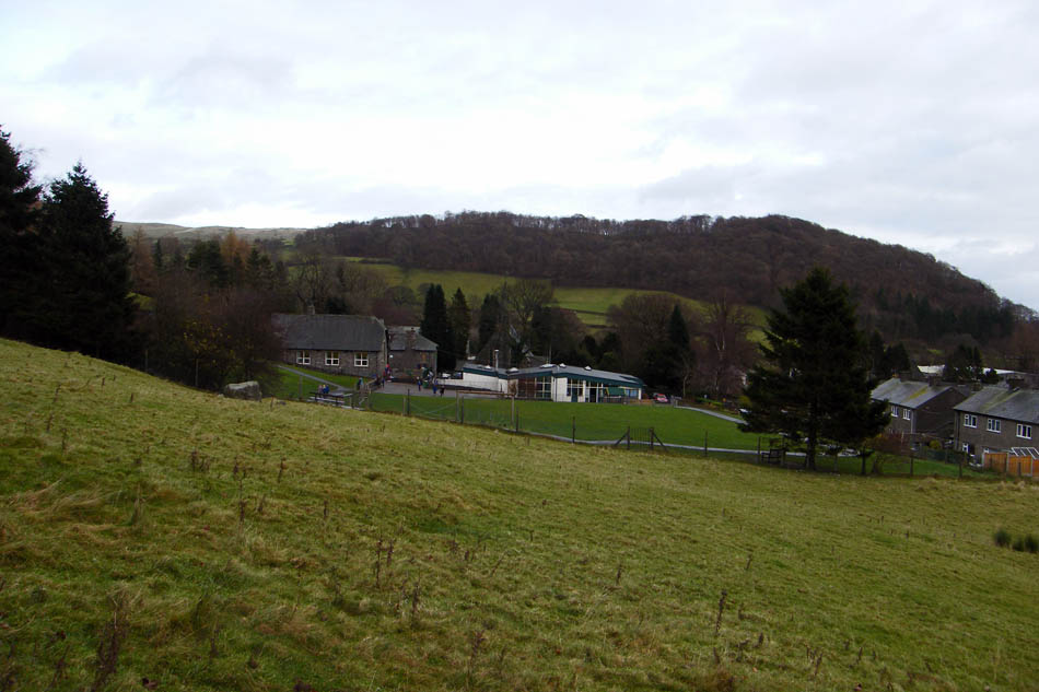
Dinner time at the school as we pass
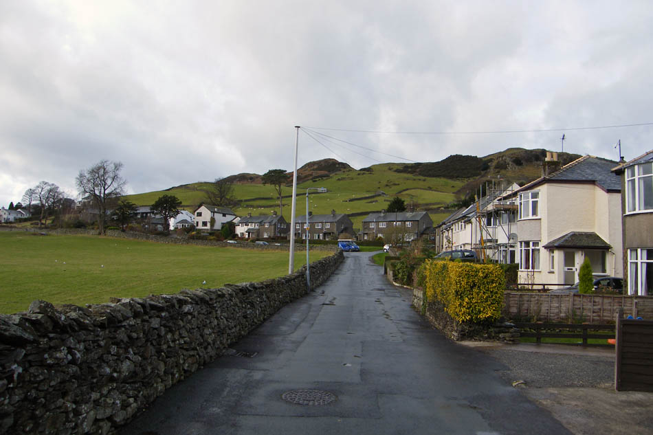
And finally a look back up School Lane on the way back to the car.
Next Walk: 24th November 2008 -- North Lancs -- Borwick circular
Last Walk: 18th November 2008 -- Lake District (SE) -- Black Fell & Tarn Hows
We hope you have enjoyed viewing this walk. If you have any comments please sign our Guestbook or E_Mail us
