| Area: | Local | Ascent: | 200 feet |
| Walk No: | 233 | Time: | 2hours |
| Date: | 10th December 2008 | Parking: | Crook O'Lune |
| Distance: | 4.25 miles | Weather: | Fine & Sunny |
| Route: | Crook O'Lune - River Bank - Caton - Cycletrack - Crook O'Lune |
For those of you that are thinking of going onto the hills I would strongly recommend that you read the advice given by the Mountain Rescue organisation of England and Wales. To read this advice, which will open in a new page please click HERE. If you would like to make a donation to the Mountain Rescue organisation which is purely voluntary please click HERE. Please make the time to read the advice page.
A glorious early morning walk along the banks of the River Lune to Caton with a return along the cycletrack.
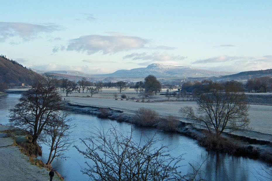
The valley bottom as not yet caught the sun and the sharp overnight frost leaves a wonderful white coat along the river banks.
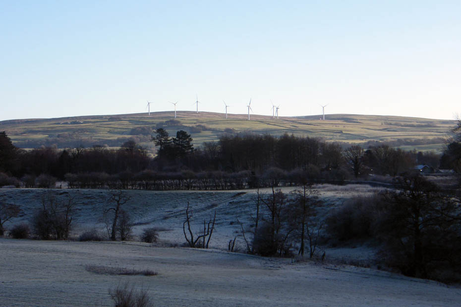
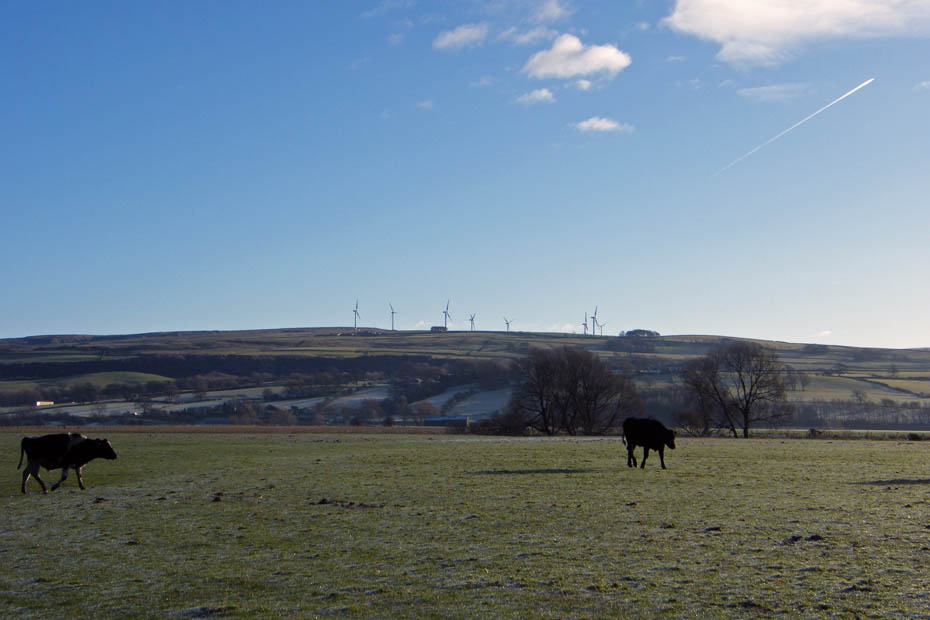
Caton Moor however is now in brilliant sunshine. The wind turbines are motionless , not a breath of wind.
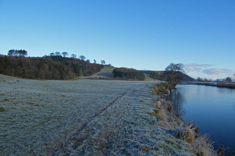
Walking upriver on the frosty, crunchy grass.
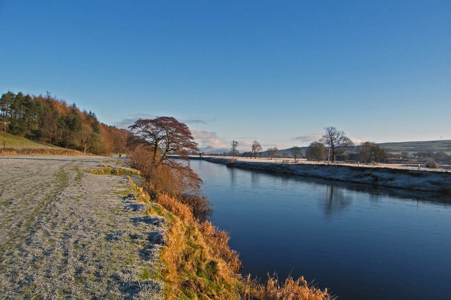
The sun reaches our side of the valley at last. Didn't make too much difference to the temperature but it brightened things up!
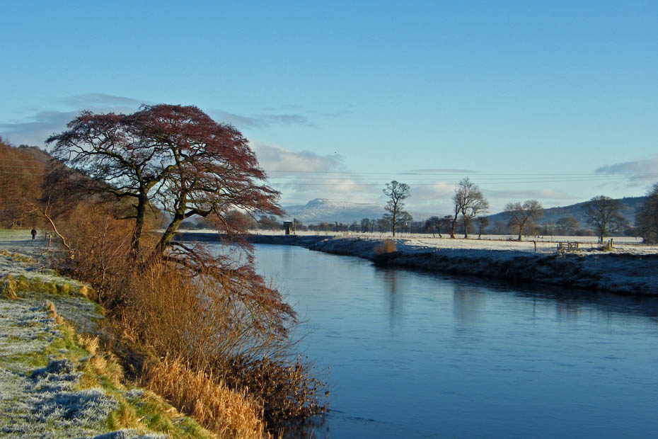
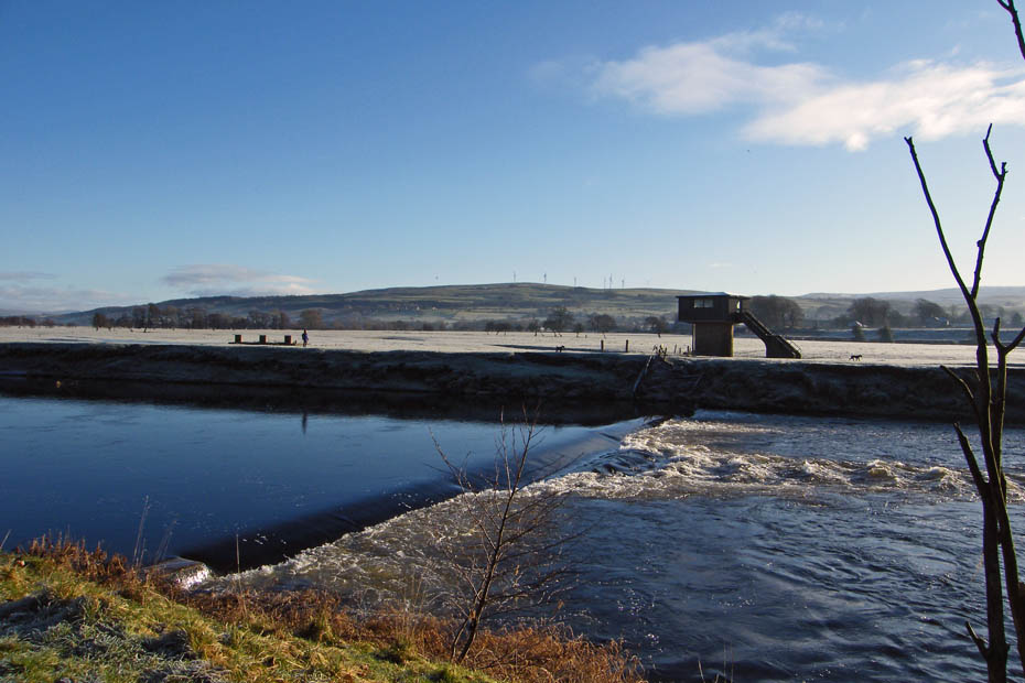
At the weir which as plenty of water flowing over it. Probably melt water from the Howgills.
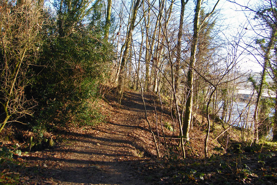
A short walk through the woods
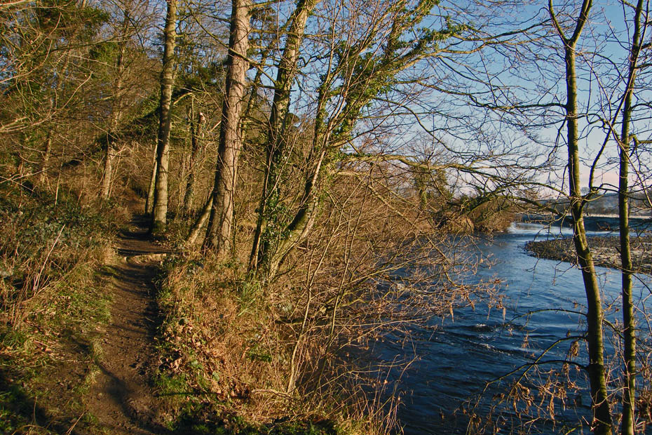
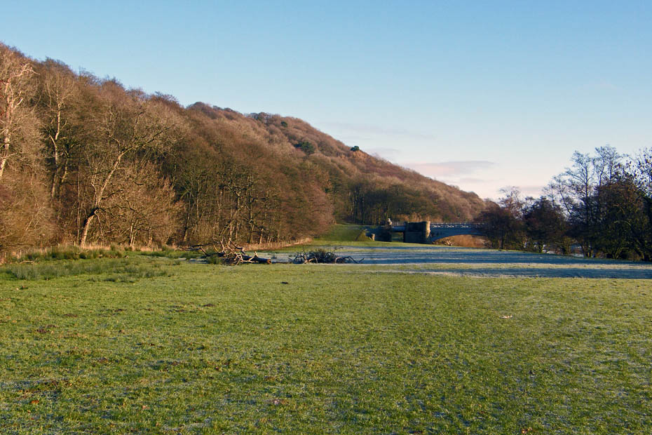
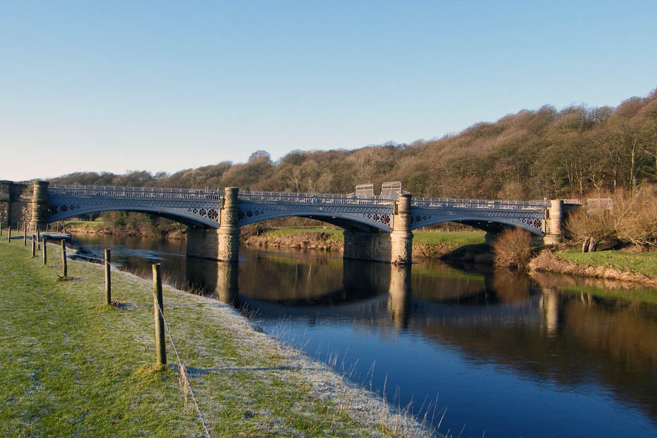
Back in the open and approaching the bridge carrying the Thirlmer to Manchester Aqueduct over the river.

The view upriver as I cross the aqueduct.
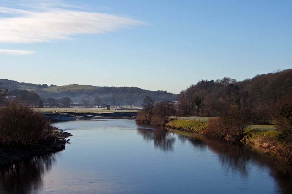
and downriver
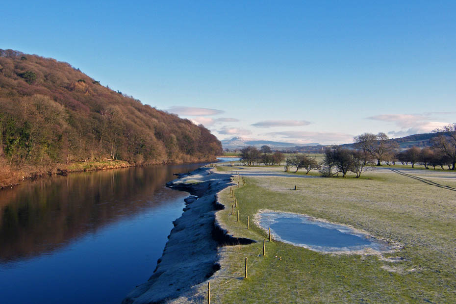
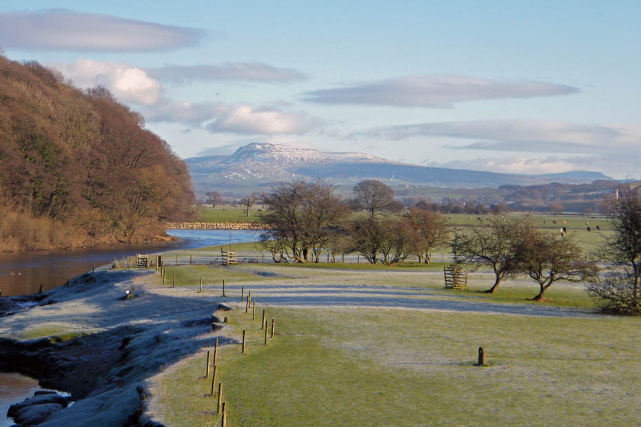
Twin Peaks.....The familar profiles of Ingleborough and to the right Pen y ghent from the aqueduct
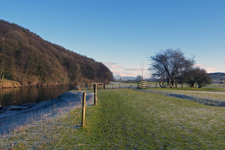
The route continues upriver but now on the opposite bank
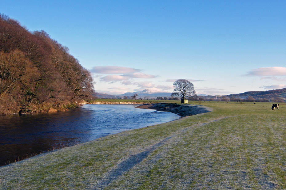
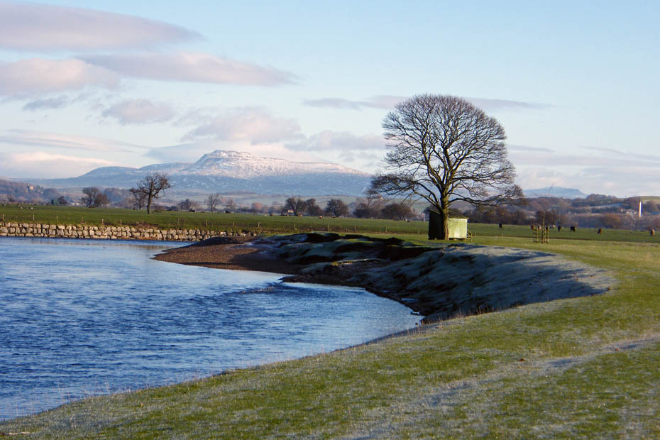
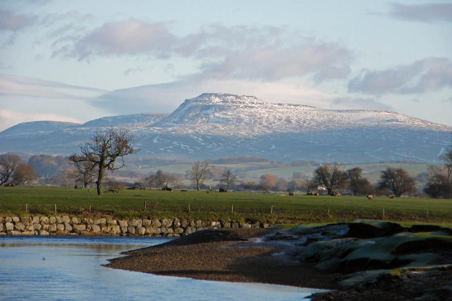
From left to right, Park Fell, Simon Fell and Ingleborough.
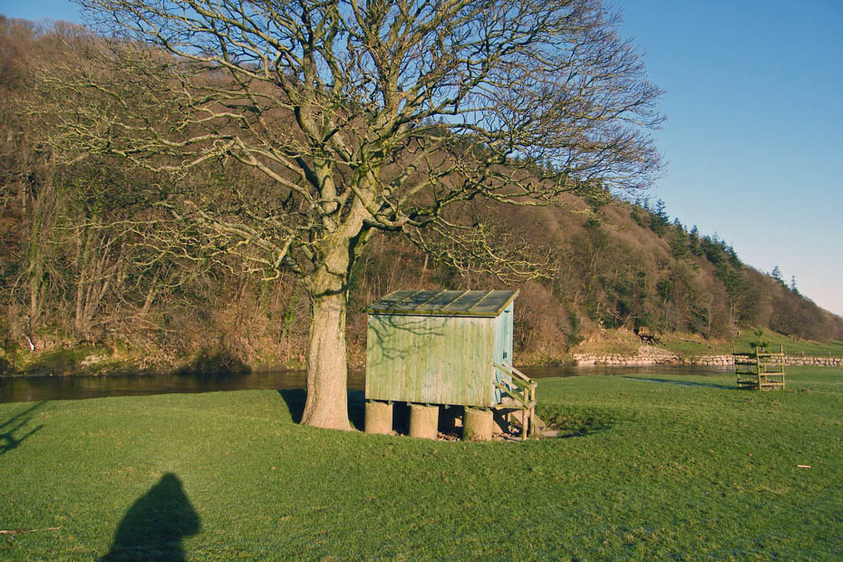
I often wonder how these anglers huts manage to stay in-situ when the river is in flood. I can only assume that the holding down bolts into the concrete plinths are substansial
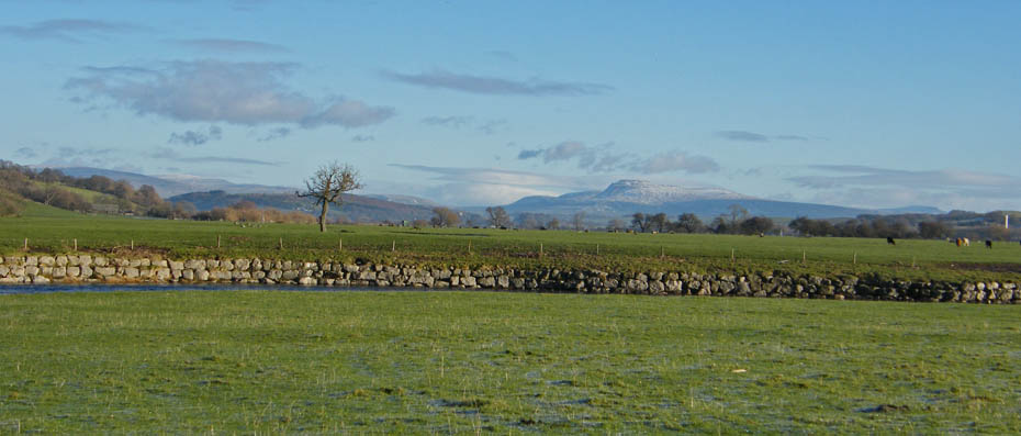
4 peaks....from left to right , Gragareth, Whernside, Ingleborogh and Pen y ghent.
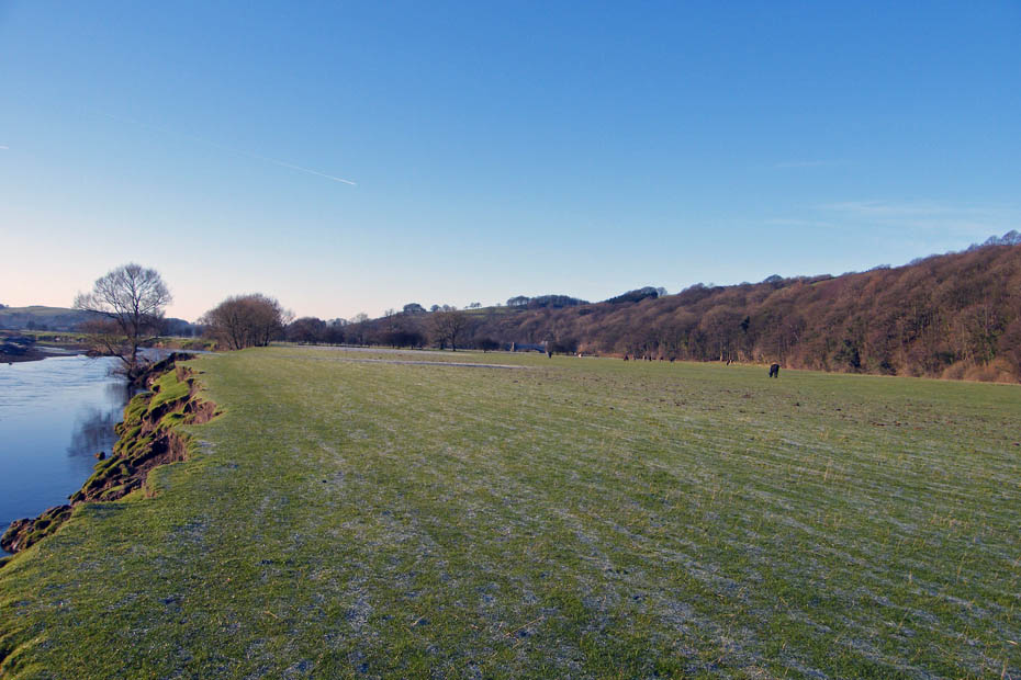
Now I'm still walking upstream here but heading back towards the car. The river as done a 180 degree turn. Look carefully in centre picture and you can see the aqueduct.
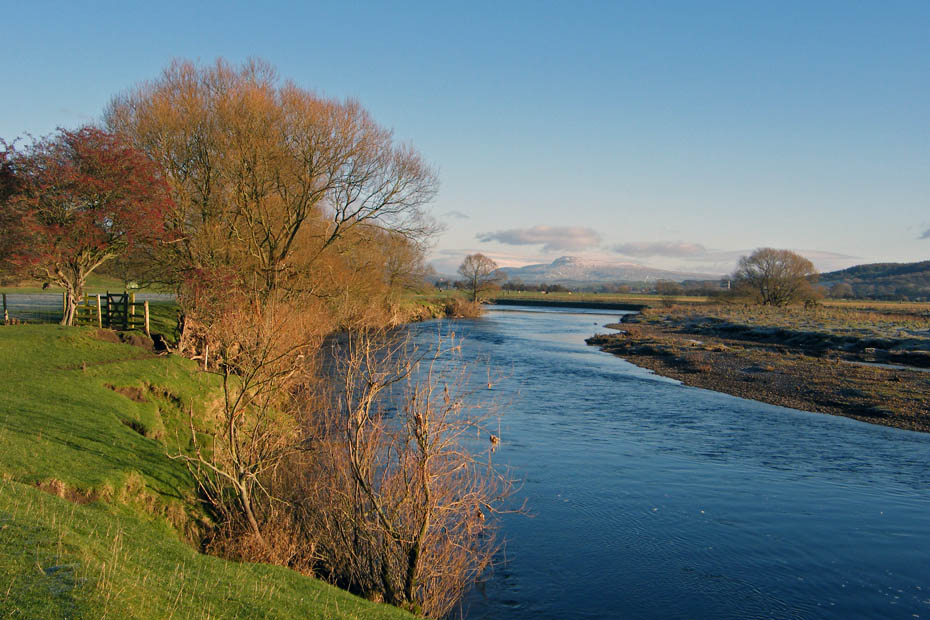
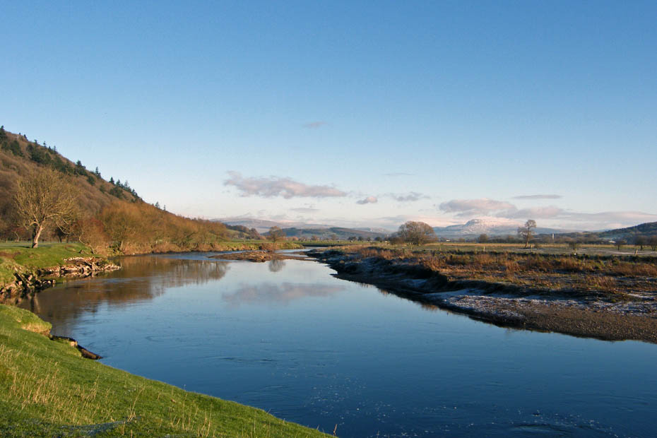
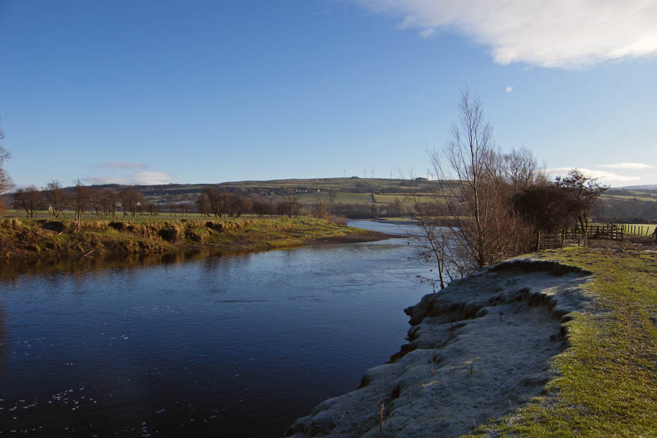
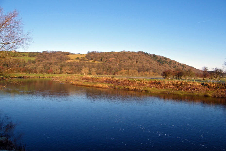
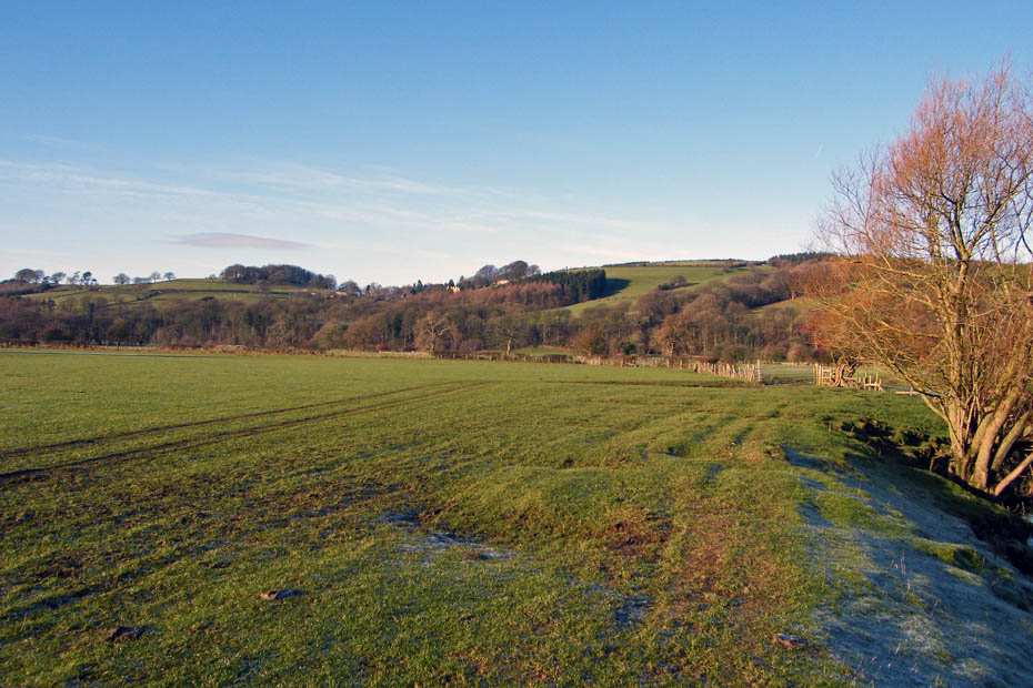
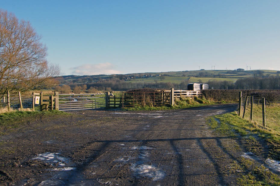
This is the point where I left the river to take the lane on the right towards Caton and the cycletrack.
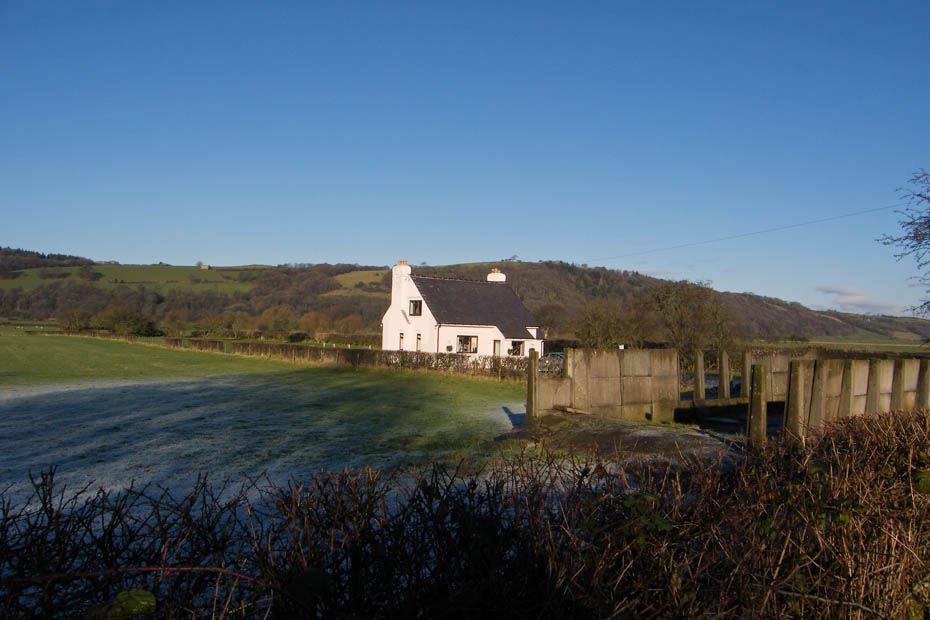
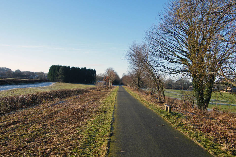
The cycle track.....a legacy from Dr Beeching.
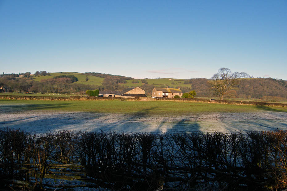
Passing Ellers Farm
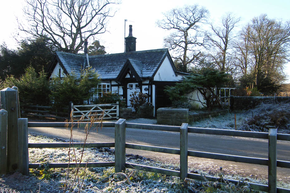
Railway Cottage at Caton
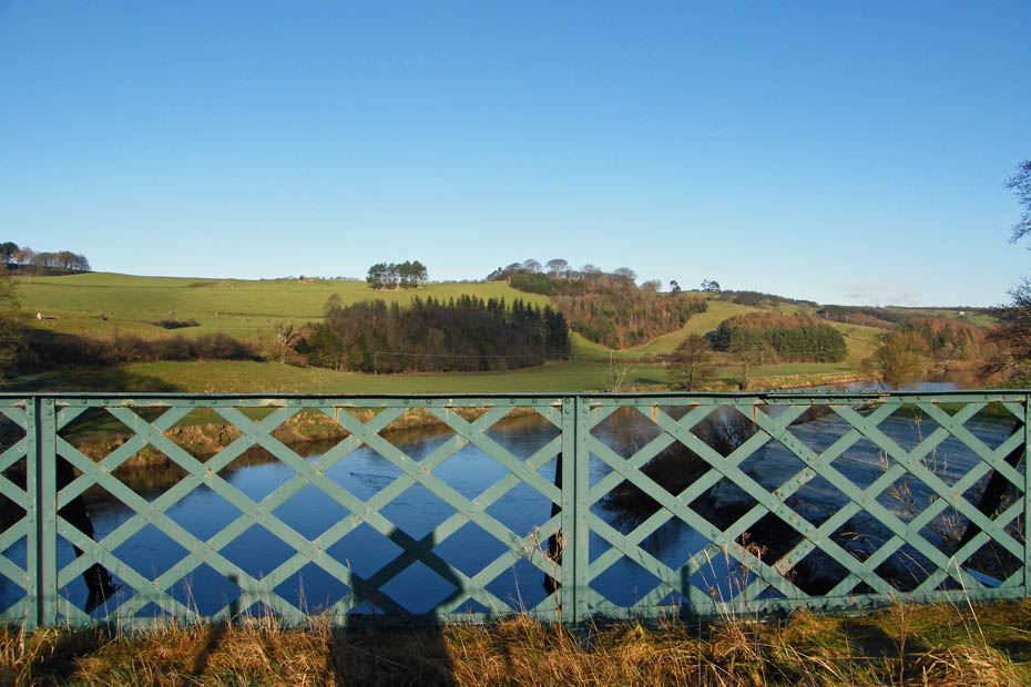
The fields along which I walked a little earlier are now clear of frost as I cross the easterly rail bridge over the river
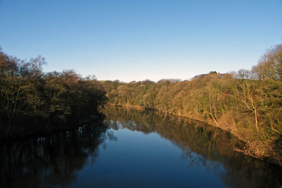
A quick visit to the westerly rail bridge for a few reflections.
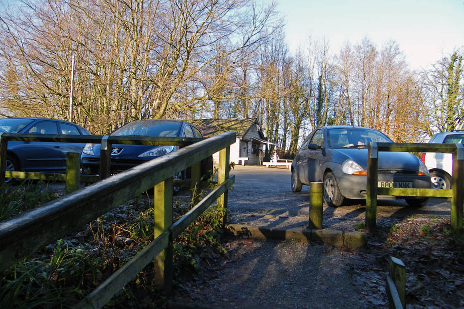
And finally.....back to the car and a bacon buttie from Woodie's
Next Walk: 11th December 2008 -- Local -- Sunderland Point & Sambo's Grave
Last Walk: 9th December 2008 -- South Cumbria -- The Northern Reaches
We hope you have enjoyed viewing this walk. If you have any comments please sign our Guestbook or E_Mail us